The best walks and hikes in Naturpark Frankenhöhe
4.6
(8002)
32,396
hikers
2,123
hikes
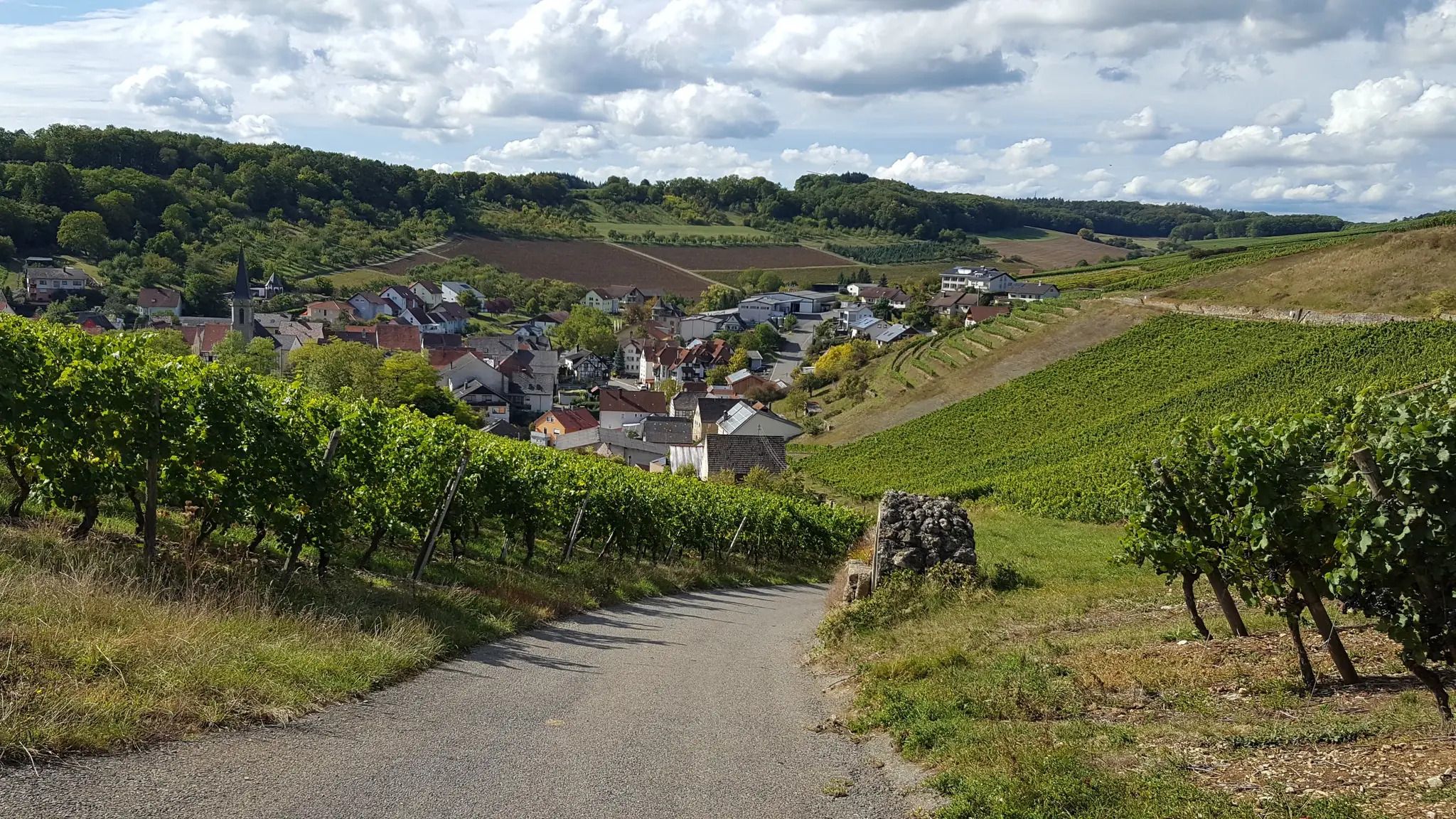
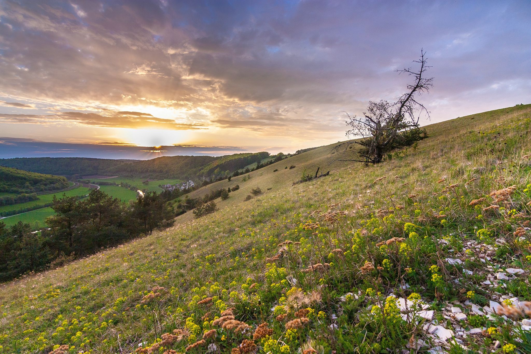
Hiking in Naturpark Frankenhöhe offers diverse landscapes, characterized by expansive mixed forests, vital flowing waters, and unique dry biotopes. The terrain features a gentle low mountain landscape with hills and pronounced river valleys, including the Tauber Valley. Approximately one-third of the park is covered by forest, and the European Watershed runs through the area, separating river systems.
Best hiking trails in Naturpark Frankenhöhe
- The most popular hiking route is Rundwanderweg LT 29: Geschichte pur – Tagestouren Liebliches Taubertal, a…
Last updated: July 5, 2026
4.4
(61)
180
hikers
18.4km
05:08
330m
330m
Hard hike. Very good fitness required. Mostly accessible paths. Sure-footedness required.
4.8
(805)
3,854
hikers
Moderate hike. Good fitness required. Easily-accessible paths. Suitable for all skill levels.

Sign up for free
4.4
(24)
90
hikers
10.9km
02:47
50m
50m
Moderate hike. Good fitness required. Easily-accessible paths. Suitable for all skill levels.
4.7
(325)
1,296
hikers
Moderate hike. Good fitness required. Easily-accessible paths. Suitable for all skill levels.
4.8
(123)
478
hikers
Moderate hike. Good fitness required. Easily-accessible paths. Suitable for all skill levels.
Get access to more routes and recommendations from other explorers.
Sign up for free
Already have an account?
Our route recommendations are based on thousands of hikes, rides, and runs completed by other people on komoot.
Start today with a free account
Your next adventure awaits.
Login or Signup
Popular around Naturpark Frankenhöhe

Main-Danube-Lake Constance Trail – Along iconic waters

The Romantic Road – To the Pearls of Southern Germany

The National Natural Landscapes in Bavaria
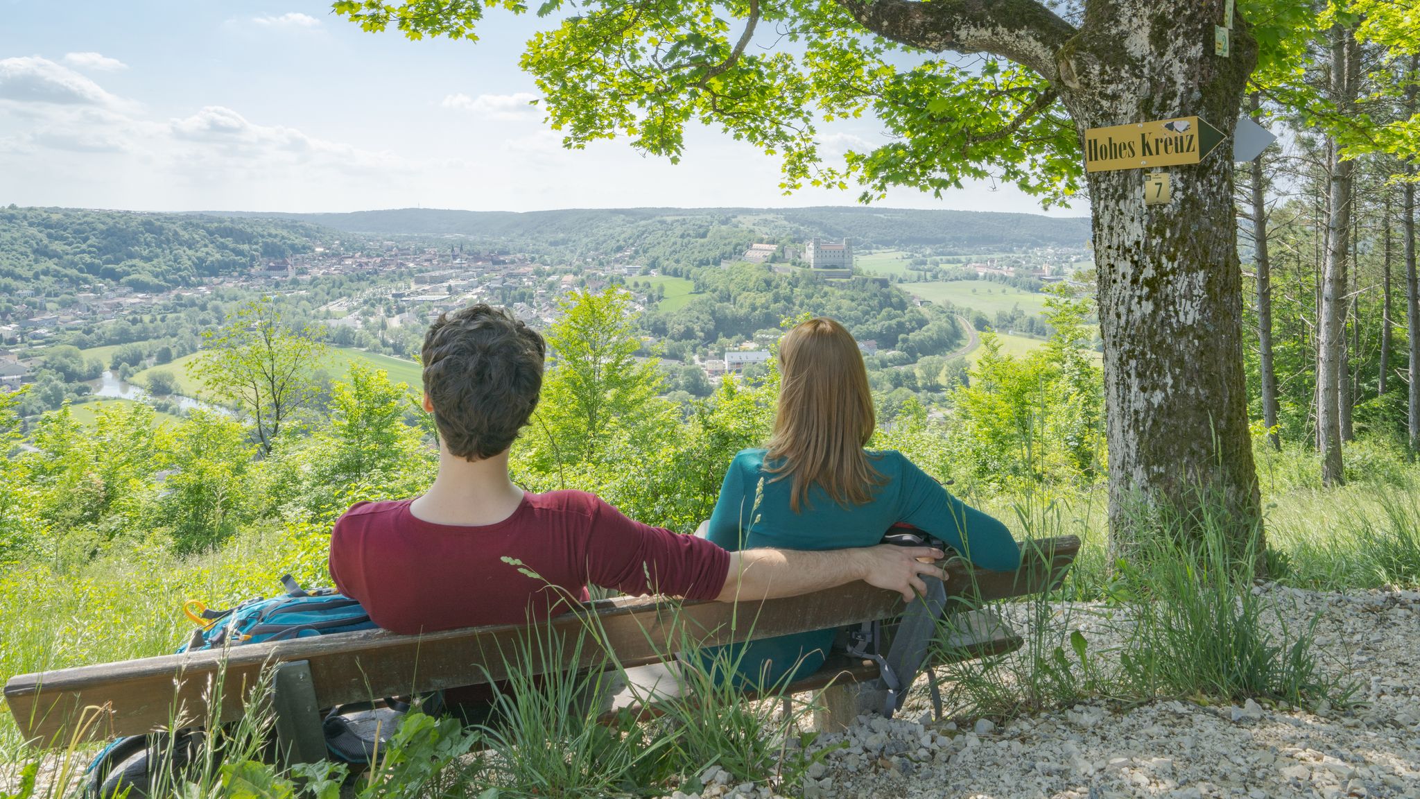
Pleasure, nature and culture – hiking around the Franconian towns
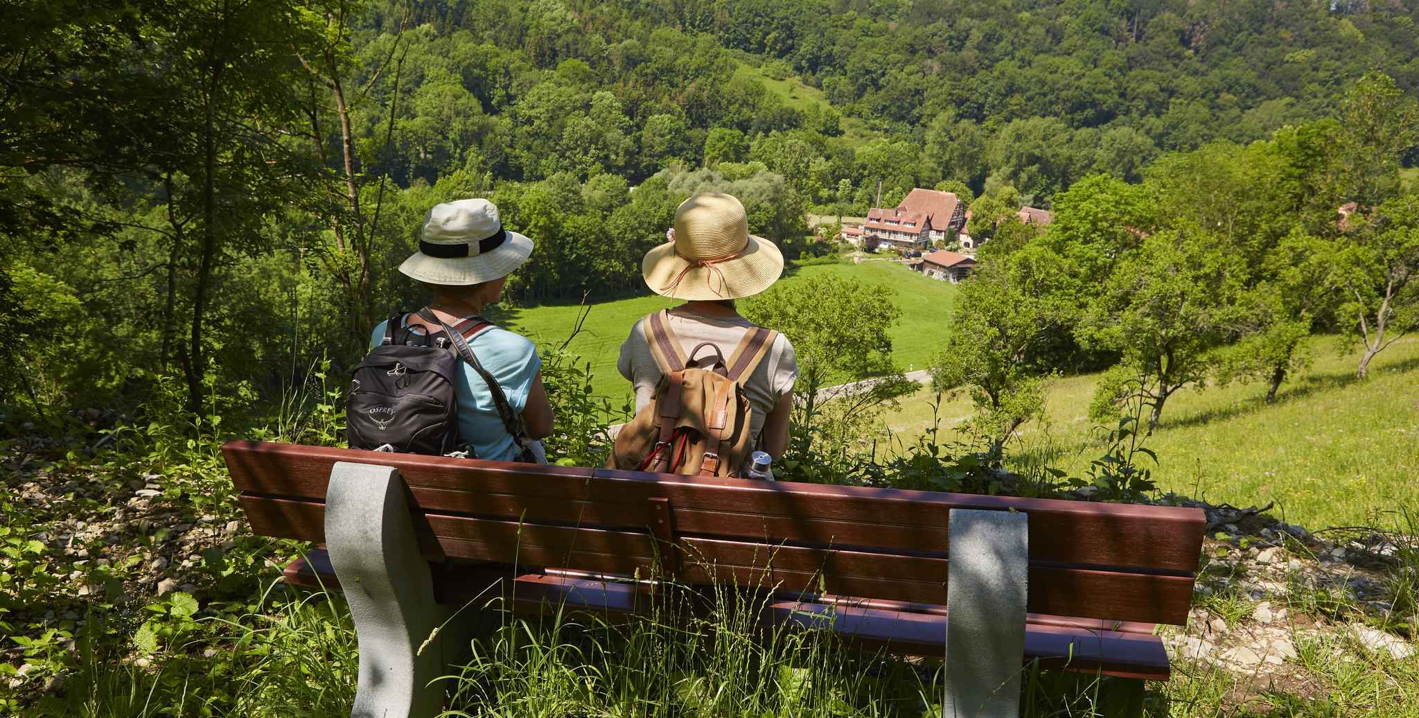
Gentle hills & wide forests – day Tours in the Lovely Tauber Valley
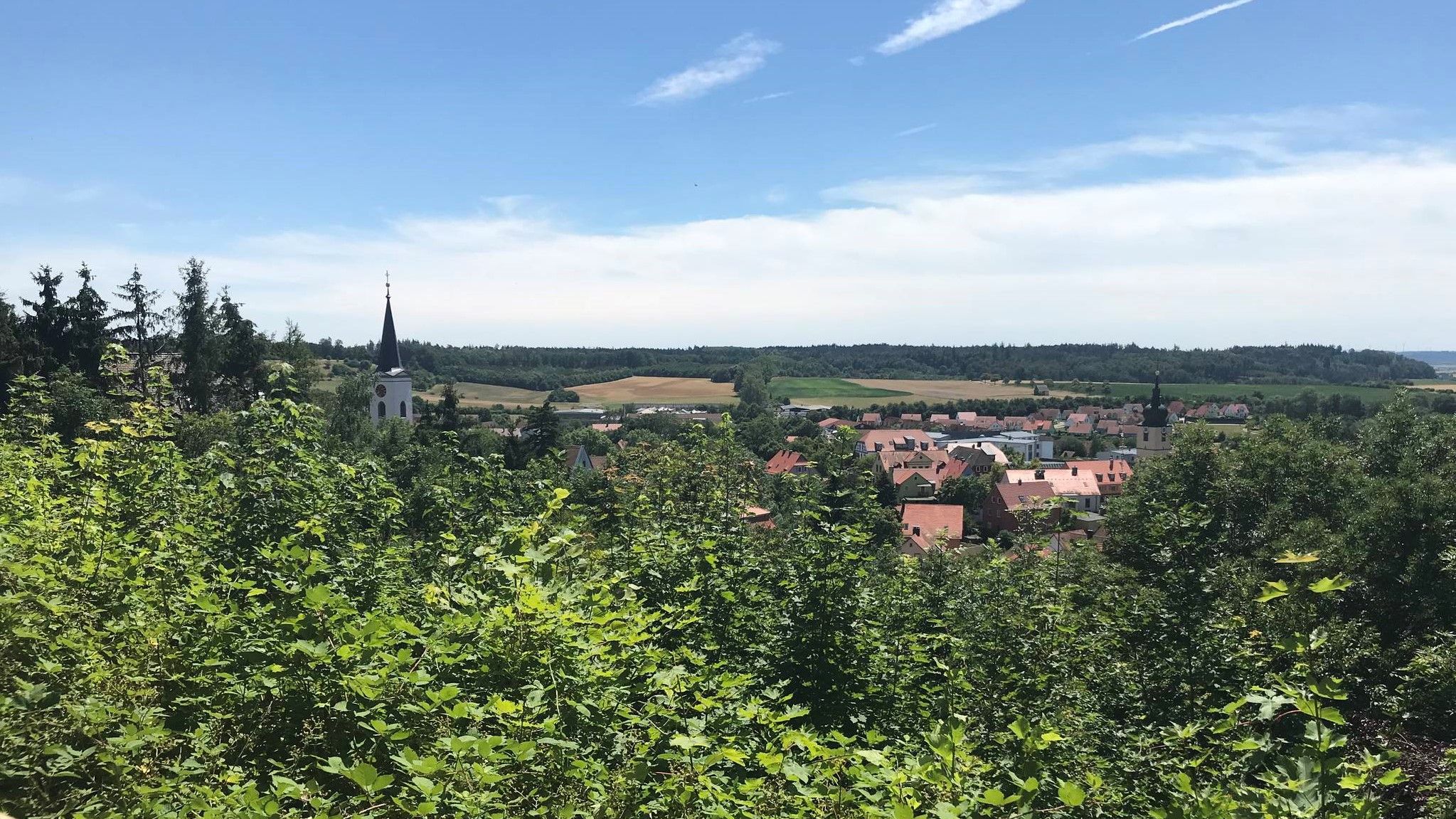
Hike through Franconia in Germany – European Watershed Trail
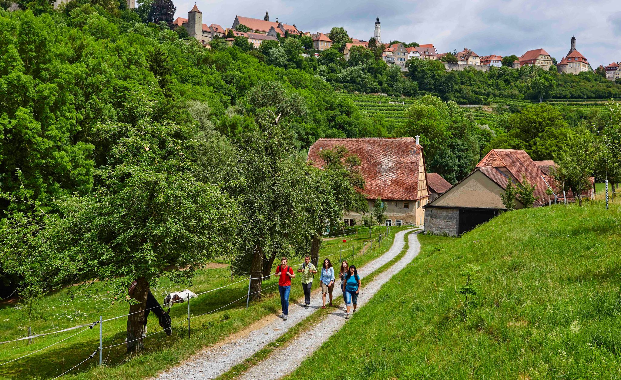
Hike back in time to the Middle Ages – Rothenburg ob der Tauber
On the panoramic trail through the Tauber Valley
Looking for a small adventure? Your summer in the VGN

Hike & Beer in Franconia and Upper Palatinate — the VGN leisure tips
Other adventures in Naturpark Frankenhöhe


Tips from the Community

Here the Tauber is truly a very idyllic little river. A bit off the beaten track up in the town.
0
0

Well-preserved path along the city wall. Rothenburg is a highlight for medieval freaks.
1
0


There are so many perspectives to see in Rothenburg, each revealing something new. Whether inside or outside the wall, on the wall, or in the small alleys and half-timbered houses, it's worth coming here several times and taking your time.
1
0

Visitors can explore the city wall on the Rothenburg Tower Trail, which takes approximately 2.5 hours and covers four kilometers around the old town. On information boards and in the text of the Tower Trail brochure, the authors describe the history of Rothenburg ob der Tauber along the city's 42 towers. Rothenburg ob der Tauber – a city of towers. But which tower can visitors actually climb to get an overview? (https://www.rothenburg.de/entdecken/top-10/stadtmauer-und-tuerme )
1
0

Breathtakingly beautiful, medieval old town including battlements, accessible for several kilometers
8
0
Here you can get a view from outside... even without crowds
9
0

A very interesting path along the old city wall with many worthwhile views and historical information.
4
0
Frequently Asked Questions
How many hiking trails are available in Naturpark Frankenhöhe?
Naturpark Frankenhöhe offers a wide variety of hiking experiences with over 2,100 routes. These include more than 1,100 easy trails, nearly 900 moderate paths, and around 60 more challenging routes, catering to all skill levels.
What kind of landscape can I expect when hiking in Naturpark Frankenhöhe?
The Naturpark Frankenhöhe features a diverse landscape, including expansive mixed forests, vital flowing waters, and unique dry biotopes. You'll encounter a gentle low mountain landscape with hills exceeding 500 meters, interspersed with pronounced river valleys like the Tauber Valley. Approximately one-third of the park is forested, and the European Watershed runs through the area, separating river systems that flow towards the North Sea and the Black Sea.
Are there hiking trails suitable for beginners or those looking for an easy walk?
Yes, Naturpark Frankenhöhe is very welcoming for beginners and casual walkers, with over 1,100 easy trails available. The park's gentle low mountain landscape and moderate altitude differences make many paths accessible for shorter excursions and less experienced hikers.
What are some notable natural features or landmarks to look out for on hikes?
Hikers can explore several interesting features. The Fingalshöhle Sandstone Quarry and various Historic rock cellars (Felsenkeller) offer glimpses into the region's geology and history. The European Watershed, which runs through the park, is a significant natural highlight. You can also find impressive oak forests, some with trees over 200 years old, particularly along the Oak Forest Trail near Colmberg Castle.
Are there any circular hiking routes in Naturpark Frankenhöhe?
Yes, many trails in Naturpark Frankenhöhe are designed as circular routes, offering varied scenery without retracing your steps. An example is the Circular hiking trail LT 30 Beer hiking trail Landwehr-Bräu, which is a moderate 10.9 km loop.
What do other hikers enjoy most about hiking in Naturpark Frankenhöhe?
The area is highly rated by the komoot community, with an average score of 4.6 stars from over 7,400 reviews. Hikers often praise the diverse landscapes, the tranquility of the mixed forests, and the well-maintained trails that offer a mix of natural beauty and cultural gems like castles and viewpoints.
Are there any viewpoints offering scenic vistas in the nature park?
Absolutely. The park offers several scenic viewpoints. For example, the Terroir f Ipsheim Viewpoint – View of Hoheneck Castle loop from Burg Hoheneck provides stunning views towards Hoheneck Castle and the surrounding landscape. Many trails lead to elevated spots that offer panoramic views of the gentle low mountain range and river valleys.
Can I find places to eat or stay overnight near the hiking trails?
Yes, there are options for refreshments and accommodation. You might find places like the Wildbad Forest Inn or various huts such as the Gumbertus Hut Nature Friends House and Hornauer Hut. These provide opportunities for a break or an overnight stay, often nestled within the natural surroundings.
What is the best time of year to go hiking in Naturpark Frankenhöhe?
Naturpark Frankenhöhe is known as one of the sunniest areas in Southern Germany, making it pleasant for outdoor activities for much of the year. Spring and autumn offer comfortable temperatures and beautiful scenery with blooming flora or vibrant fall colors. Summer is also excellent, especially with the abundant forest cover providing shade. Even in winter, some trails are suitable for hiking, offering a different, serene experience.
Are there any historical sites or cultural attractions along the hiking routes?
Beyond its natural beauty, Naturpark Frankenhöhe is dotted with cultural gems. You can find castles and palaces, adding a historical dimension to your hikes. The Tower Trail along the city wall – Markus Tower & Röder Arch loop from Rothenburg ob der Tauber, for instance, explores historical city fortifications and landmarks, offering a blend of nature and history.
Are there any trails that offer a longer, more challenging day hike?
For those seeking a longer and more challenging experience, the park offers routes like the Rundwanderweg LT 29: Geschichte pur – Tagestouren Liebliches Taubertal. This difficult 18.4 km trail typically takes over 5 hours to complete, providing a substantial day hike with insights into the region's history.
Most popular routes in Naturpark Frankenhöhe
Most popular attractions in Naturpark Frankenhöhe

Get inspired with the komoot mobile app


Explore more
Browse the best Hikes in other regions.
