The best gravel rides in Lynn Headwaters Regional Park
4.7
(14)
100
riders
3
rides
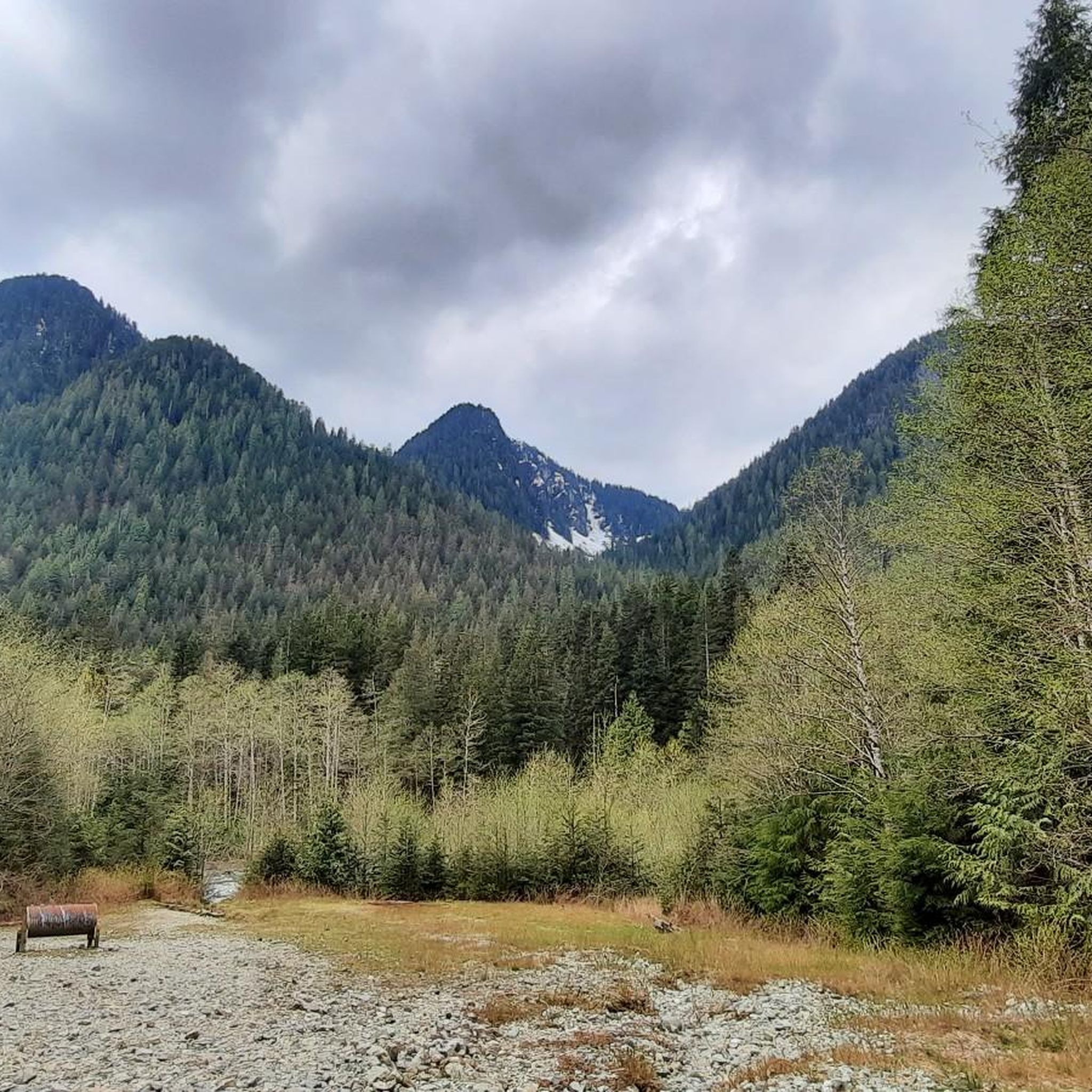
Gravel biking in Lynn Headwaters Regional Park offers routes through a diverse landscape of dense temperate rainforest and mountainous terrain. The park, located in North Vancouver, British Columbia, features Lynn Creek as a central natural element and is characterized by lush vegetation, including Douglas firs and Western Red Cedar. While many trails within the park are primarily for hiking, designated multi-use dirt and gravel paths, such as the Lynn Headwaters Connector Trail, link to adjacent areas like the Lower Seymour Conservation Reserve (Seymour Demonstration Forest), providing varied gravel biking opportunities. The region's topography includes hills and serves as a gateway to the North Shore mountains.
Best gravel bike trails in Lynn Headwaters Regional Park
- The most popular gravel bike trail is Seymour Demonstration Forest – Seymour Trailway loop from Lynn Valley Rd (WB) at Ross Rd, a 12.8 miles (20.7 km) trail that takes 1 hour 18 minutes to complete. This moderate route connects to the extensive trail network of the Seymour Demonstration Forest.
- Another top favourite among local gravel bikers is Seymour Trailway – Seymour Demonstration Forest loop from North Vancouver, a difficult 20.3 miles (32.7 km) path. This route offers a longer, more challenging experience through the forested landscapes adjacent to the park.
- Local gravel bikers also love the 3rd Street Bike Bridge – Bridgeman Park Bridge loop from North Vancouver, a 15.1 miles (24.3 km) trail leading through varied urban and natural landscapes, often completed in about 1 hour 33 minutes.
- Gravel biking in Lynn Headwaters Regional Park is defined by dense temperate rainforest, the scenic Lynn Creek, and connections to the broader North Shore mountain trail network. The network offers options for different ability levels, from moderate loops to more difficult, longer routes.
- The routes in Lynn Headwaters Regional Park are highly rated by the komoot community with an average score of 4.6 stars from over 13 reviews. More than 140 gravel bikers have used komoot to explore Lynn Headwaters Regional Park's varied terrain.
Last updated: August 27, 2026
4.2
(9)
36
riders
Moderate gravel ride. Good fitness required. Mostly paved surfaces. Suitable for all skill levels.
5.0
(4)
54
riders
32.7km
02:06
540m
540m
Hard gravel ride. Very good fitness required. You may need to push your bike for some segments of this route.

Sign up for free
5.0
(1)
10
riders
24.2km
01:32
340m
340m
Moderate gravel ride. Good fitness required. Mostly paved surfaces. Suitable for all skill levels.
Our route recommendations are based on thousands of hikes, rides, and runs completed by other people on komoot.
Start today with a free account
Your next adventure awaits.
Login or Signup
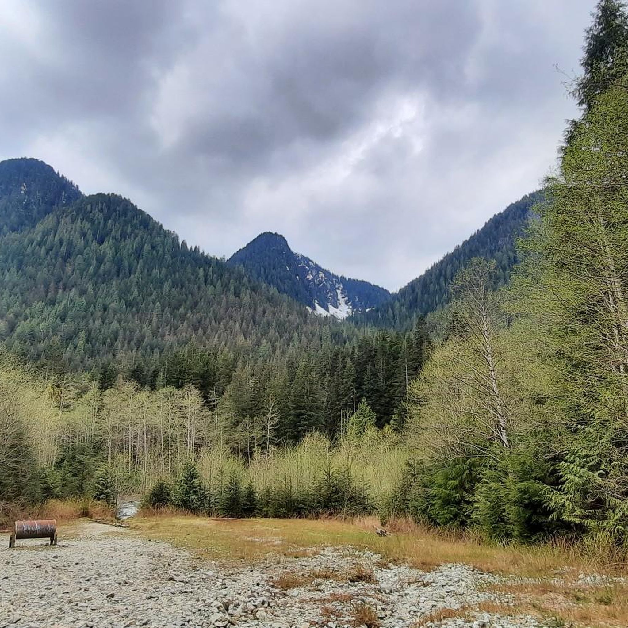
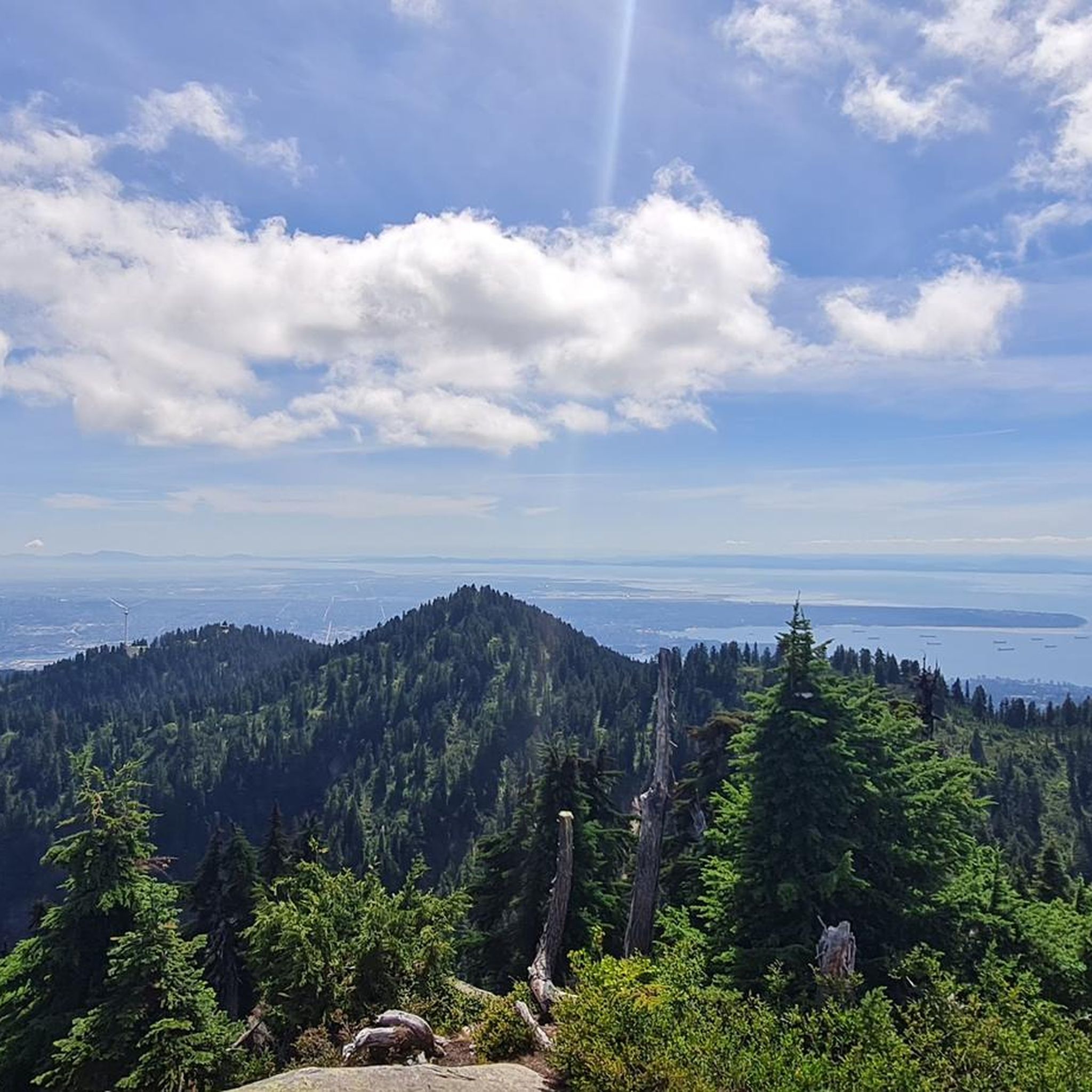
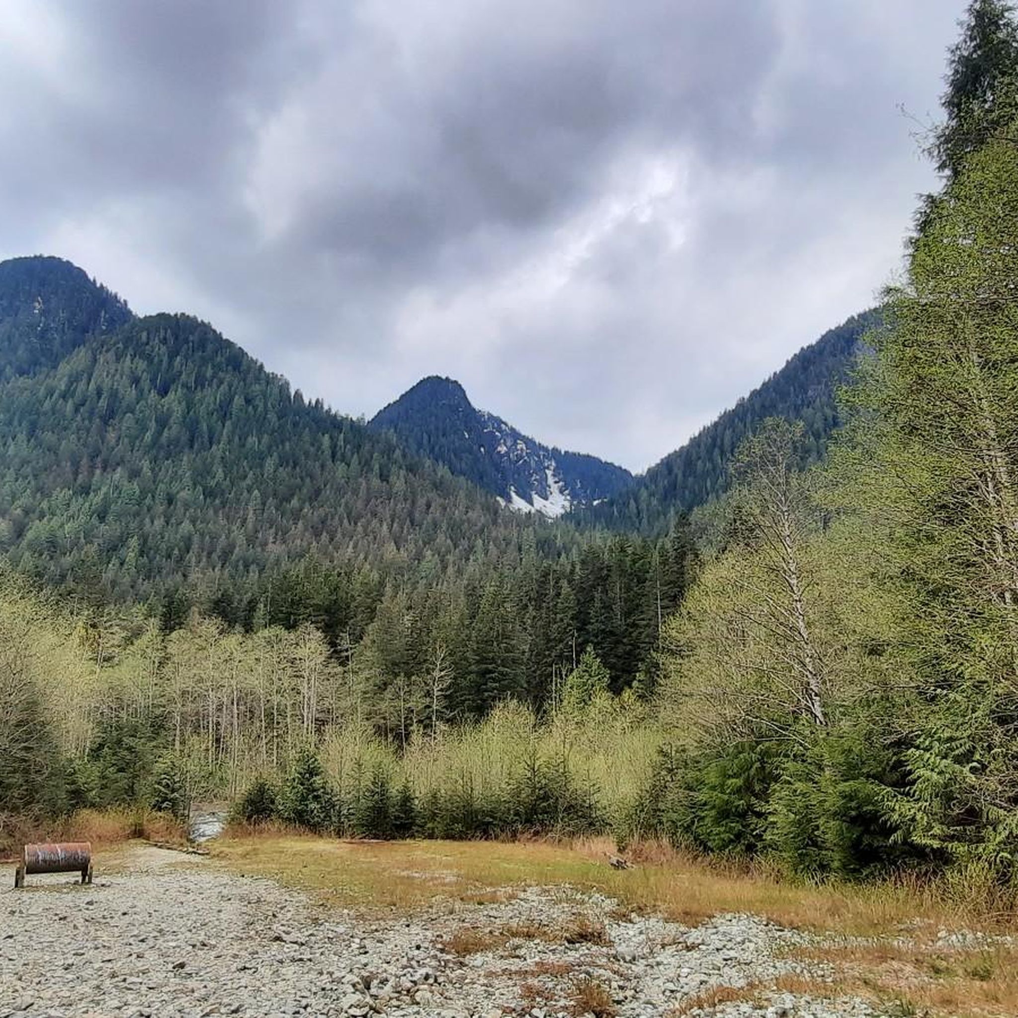
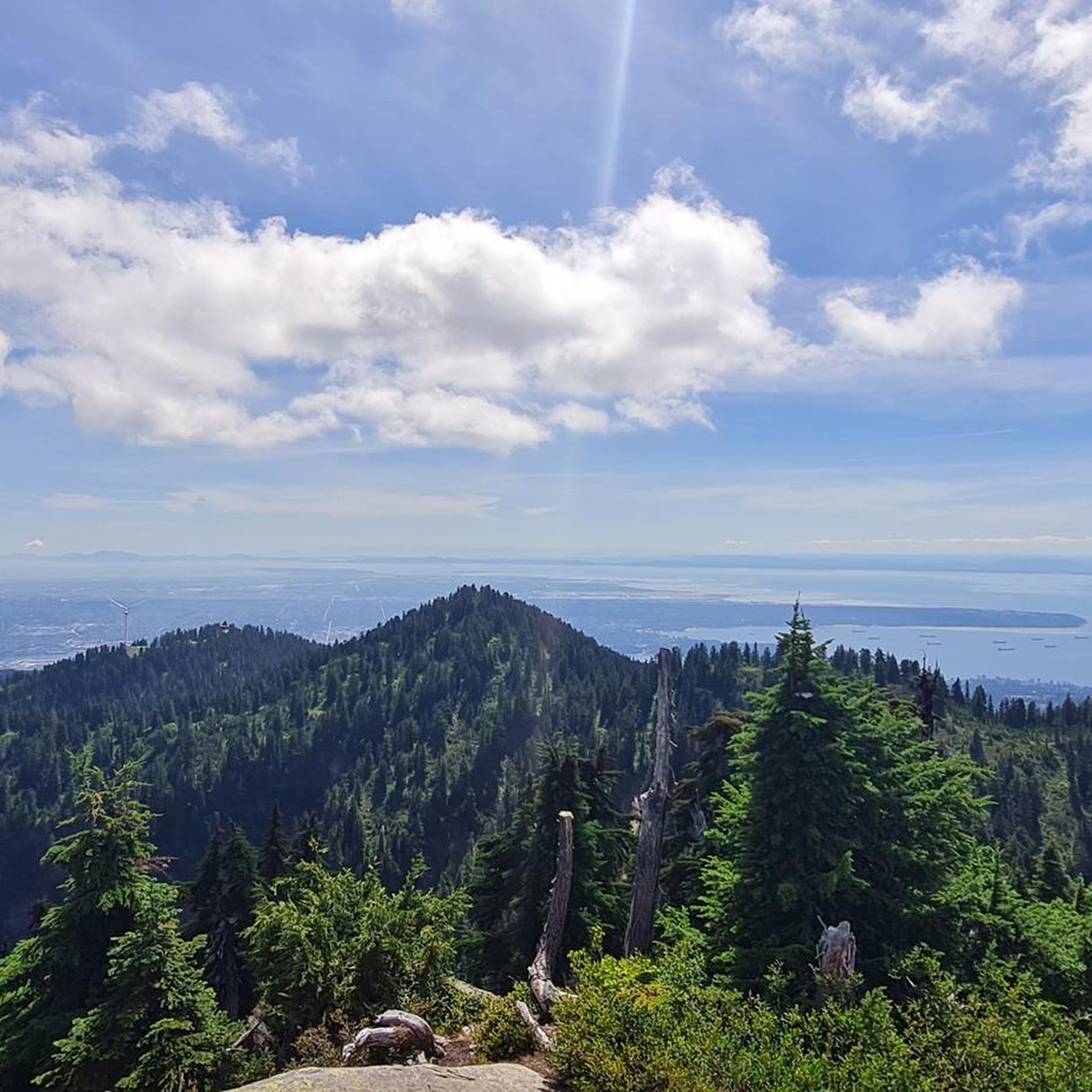
Tips from the Community

The park is a great place for you to enjoy the fresh air and the tall, shady trees that grow all around. As you walk through the park, you will notice how the thick canopy of leaves keeps the area cool and calm, even on a sunny day.
0
0

The Grand Boulevard Park Trail is a scenic multi-use path that runs through the center of Grand Boulevard Park. The trail follows a long green median lined with mature trees and open grassy areas, giving it a relaxed, park-like feel despite being in a residential neighborhood.
0
0
Ray Perrault Park is located in the Grandview–Woodland neighborhood and covers a full city block. The park features open green space, a playground, sports courts, and a splash pad that is popular with families during the summer months. It also includes a community garden, which adds to its role as a local gathering place.
0
0
Grand Boulevard Park is a long, linear park located in the North Vancouver. The park runs through the center of the historic Grand Boulevard, creating a wide green corridor that stretches several blocks through the neighborhood. It features open lawns, mature trees, and paved pathways that are popular for walking, jogging, and cycling. The park is also used for community gatherings and seasonal events.
0
0

A really beautiful place to walk.
3
0


The Seymour River Suspension Bridge was completed and opened in December 2018. This made it possible to walk the Fisherman's Trail (North) all the way through again. After the former Twin Bridges had to be demolished in 2014 following a rockslide and damming of the Seymour River, there was no longer a crossing at this point in the Lower Seymour Conservation Reserve. The Twin Bridges were originally built in 1908 to carry pipelines and were later supplemented by a parallel pedestrian bridge. Years later, the two bridges were combined to form one bridge. https://www.vancouvertrails.com/blog/seymour-river-suspension-bridge/
2
0
The Pipeline Bridge is a pedestrian bridge over Lynn Creek, offering views of the creek in the gorge. The bridge was built in 1993 and serves as one of the park entrances to Lynn Canyon Park and Rice Lake in the Lower Seymour Conservation Reserve. The bridge was built over existing pipelines. A few meters upstream is the Old Pipe Bridge, which is not open to the public.
3
0
Frequently Asked Questions
How many gravel bike trails are there in Lynn Headwaters Regional Park?
Komoot features 7 gravel bike routes in and around Lynn Headwaters Regional Park. These routes offer a diverse range of experiences, from moderate loops to more challenging, longer rides through the forested landscapes.
What is the typical terrain like for gravel biking in Lynn Headwaters Regional Park?
The terrain for gravel biking in Lynn Headwaters Regional Park and its adjacent areas is characterized by multi-use dirt and gravel roads. You'll ride through a dense temperate rainforest ecosystem, featuring lush vegetation, Douglas firs, and Western Red Cedar. Routes often follow the scenic Lynn Creek and connect to the broader North Shore mountain trail network, offering varied surfaces and some elevation changes.
Are there any challenging gravel bike routes for experienced riders?
Yes, for experienced riders seeking a challenge, routes like the Seymour Trailway – Seymour Demonstration Forest loop from Keith-Lynn offer a difficult 19.9-mile (32.1 km) path with significant elevation gain. This route provides a longer, more demanding experience through the forested landscapes adjacent to the park.
Can I find family-friendly gravel biking options in or near Lynn Headwaters Regional Park?
While many trails within Lynn Headwaters Regional Park are primarily for hiking, the adjacent Lower Seymour Conservation Reserve and designated multi-use paths like the Lynn Headwaters Connector Trail offer more accessible gravel biking. The lower section of the Lynn Loop Trail is also known for its easy, wide gravel path, which can be suitable for families.
What natural features or landmarks can I expect to see while gravel biking?
While gravel biking, you'll primarily experience the lush temperate rainforest and the scenic Lynn Creek, which flows through the park. The routes often provide views of the North Shore mountains, including Mount Fromme and Mount Seymour. Although not directly on bike trails, the park is also home to Norvan Falls, accessible via hiking trails, and Lynn Lake, a remote alpine lake.
What are the rules and regulations for cycling in Lynn Headwaters Regional Park?
Bikes are permitted on select trails within Lynn Headwaters Regional Park. The Lynn Headwaters Connector Trail, a 2 km multi-use dirt/gravel road, is specifically suitable for gravel bikes and links to the Lower Seymour Conservation Reserve. It's important to note that many narrow or sensitive hiking paths within the park are restricted to cyclists. Always check local signage for current regulations.
Is there parking available for cyclists at Lynn Headwaters Regional Park?
Yes, parking is available near the main entrance of Lynn Headwaters Regional Park. This provides convenient access for cyclists looking to explore the gravel routes that start within or connect from the park.
How can I reach Lynn Headwaters Regional Park by public transport for gravel biking?
Lynn Headwaters Regional Park is accessible by public transport. Several bus routes serve the North Vancouver area, with stops relatively close to the park entrance. It's advisable to check TransLink's official website for the most current routes and schedules to plan your journey with a bike.
What is the best time of year to go gravel biking in Lynn Headwaters Regional Park?
The best time for gravel biking in Lynn Headwaters Regional Park is generally from spring through fall when the weather is milder and trails are less likely to be affected by snow or heavy rain. While winter cycling is possible, trail conditions can vary significantly, with some areas potentially becoming muddy or icy. Always check current trail conditions before heading out.
Are there any loop gravel bike trails available?
Yes, several loop options are popular for gravel biking in the area. For instance, the Seymour Demonstration Forest – Seymour Trailway loop from Lynn Valley Rd (WB) at Ross Rd is a moderate 12.8-mile (20.7 km) loop that connects to the extensive trail network of the Seymour Demonstration Forest. Another option is the Bridgeman Park Bridge – Owl Carving in Tree loop from North Vancouver, which is 12.0 miles (19.3 km) long.
What do other gravel bikers say about their experience in Lynn Headwaters Regional Park?
The gravel biking routes in Lynn Headwaters Regional Park are highly rated by the komoot community, with an average score of 4.7 stars from over 15 reviews. Reviewers often praise the beautiful temperate rainforest scenery, the well-maintained gravel paths, and the opportunity to connect with nature close to the city. Many appreciate the varied terrain and the sense of adventure these routes offer.
Are there cafes or pubs near the park entrance for after a ride?
Yes, the area around Lynn Headwaters Regional Park, particularly in nearby Lynn Valley, offers several cafes and pubs where you can refuel and relax after your gravel bike ride. These establishments provide convenient options for refreshments and meals close to the park entrance.
Can I connect to other gravel biking areas from Lynn Headwaters Regional Park?
Absolutely. The Lynn Headwaters Connector Trail is a key link, allowing gravel bikers to seamlessly connect from Lynn Headwaters Regional Park to the extensive network of trails within the Lower Seymour Conservation Reserve and the Seymour Demonstration Forest. This expands your riding options significantly, offering longer and more varied routes.
Most popular routes in Lynn Headwaters Regional Park

Get inspired with the komoot mobile app


Explore more
Browse the best Gravel rides in other regions.
