The best running trails in Lynn Headwaters Regional Park
4.8
(44)
3,168
runners
166
runs
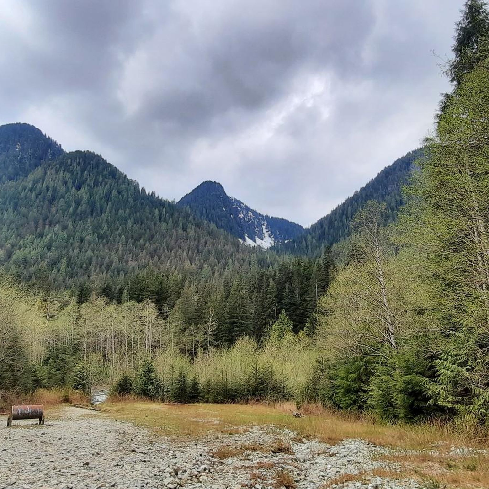
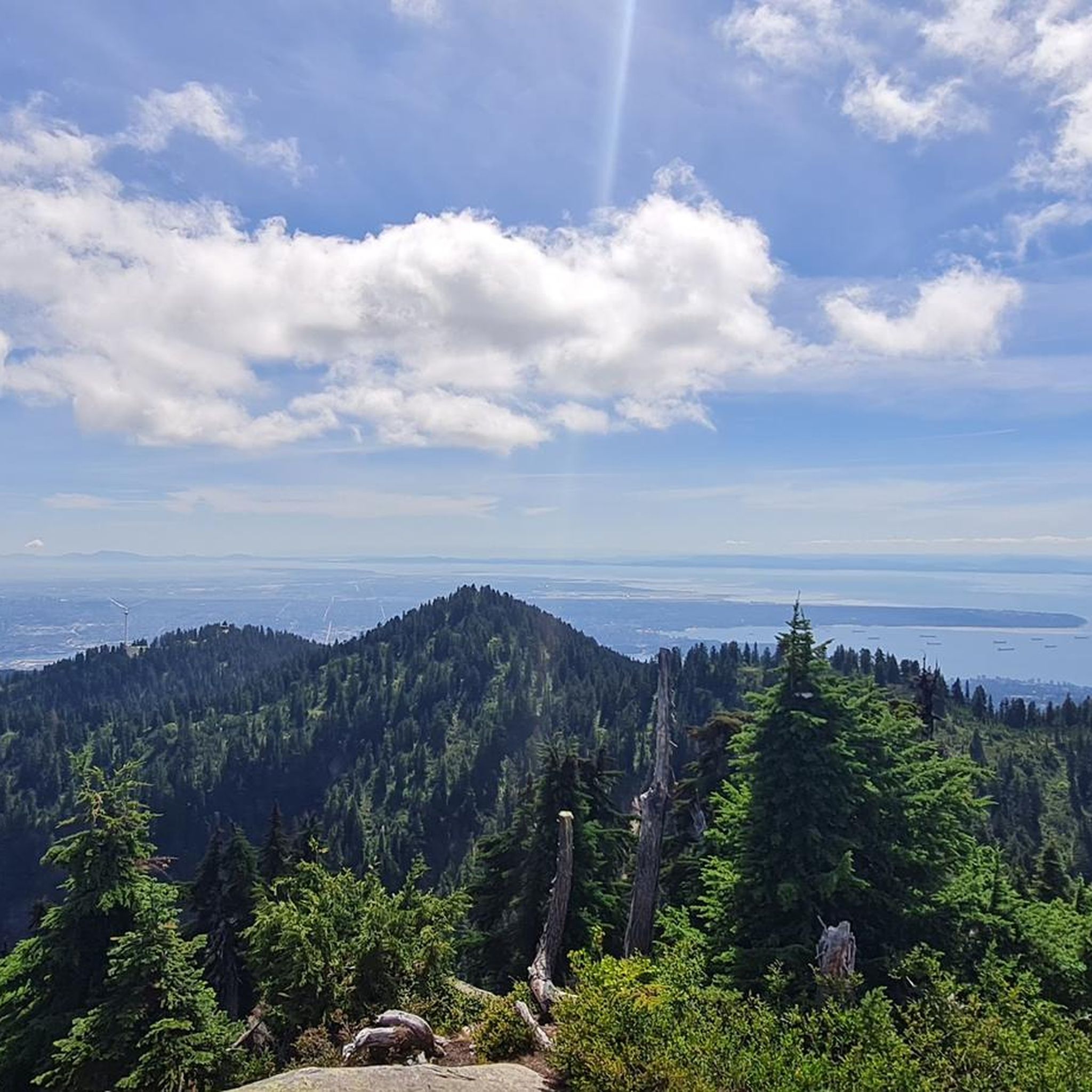
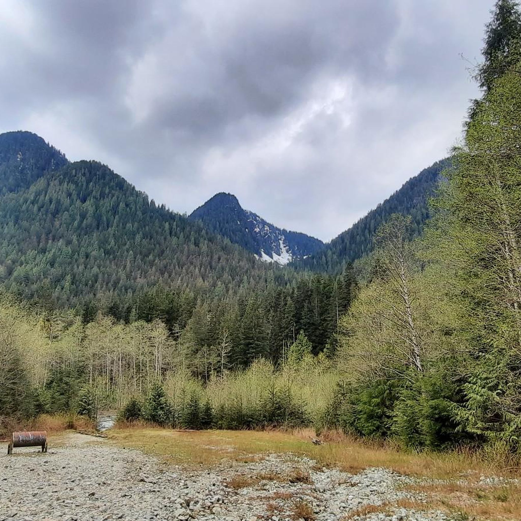
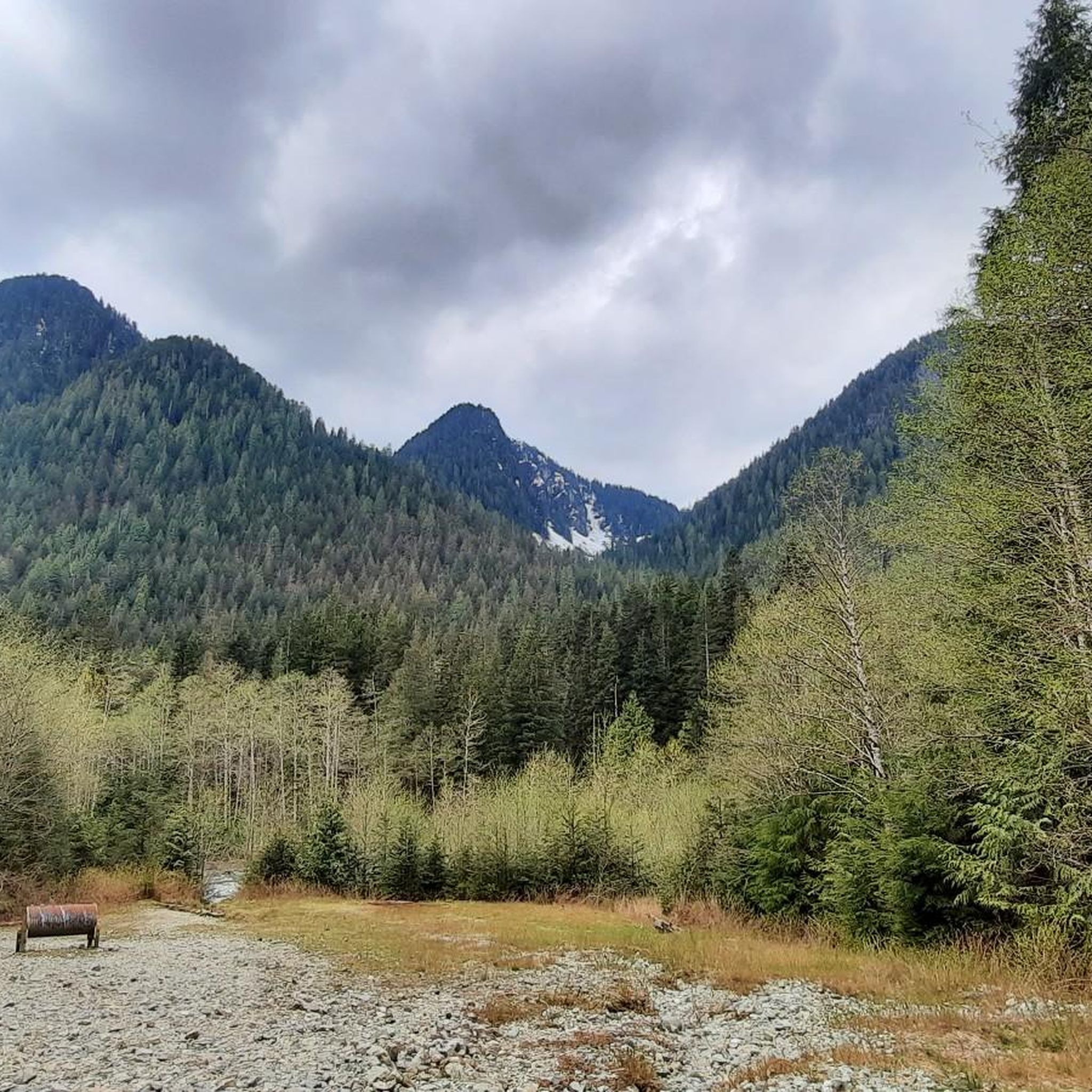
Jogging in Lynn Headwaters Regional Park, located in North Vancouver, British Columbia, offers a diverse network of routes through a dense temperate rainforest ecosystem. The park features towering Douglas firs and western red cedars, with Lynn Creek winding through its scenic landscape. Trails range from gentle, flat paths to more rugged terrain with roots, rocks, and significant elevation changes, providing options for various fitness levels.
Best jogging routes in Lynn Headwaters Regional Park
- The most popular jogging route is Lynn Canyon Suspension Bridge – Varley Trail loop from Hoskin Rd (NB) at 4700 Block, a 14.8 miles (23.8 km) trail that takes 2 hours 42 minutes to complete. This route explores varied terrain, including sections near the Lynn Canyon Suspension Bridge.
- Another top favourite among local runners is Varley Trail loop from Hoskin Rd (SB) at 4700 Block, a difficult 12.7 miles (20.5 km) path. This route offers challenging ascents and descents through the park's natural beauty.
- Local runners also love the Moderate Uphill loop from Grousewoods, a 2.9 miles (4.7 km) trail leading through forested areas, often completed in about 31 minutes.
- Jogging in Lynn Headwaters Regional Park is defined by dense temperate rainforest, the scenic Lynn Creek, and varying terrain from wide, smooth paths to rugged trails. The network offers options for different ability levels, from easy strolls to challenging ascents.
- The routes in Lynn Headwaters Regional Park are highly rated by the komoot community with an average score of 4.89 stars from over 48 reviews. More than 4700 runners have used komoot to explore Lynn Headwaters Regional Park's varied terrain.
Last updated: August 23, 2026
56
runners
Hard run. Very good fitness required. Sure-footedness, sturdy shoes and alpine experience required.
21
runners
20.5km
02:39
600m
600m
Hard run. Very good fitness required. Sure-footedness, sturdy shoes and alpine experience required.

Sign up for free
6
runners
20.4km
03:19
1,080m
1,080m
Hard run. Very good fitness required. Sure-footedness, sturdy shoes and alpine experience required.
46
runners
20.9km
02:14
190m
190m
Hard run. Very good fitness required. Mostly paved surfaces. Suitable for all skill levels.
4.8
(4)
28
runners
Moderate run. Good fitness required. Mostly paved surfaces. Suitable for all skill levels.
Get access to more routes and recommendations from other explorers.
Sign up for free
Already have an account?
Our route recommendations are based on thousands of hikes, rides, and runs completed by other people on komoot.
Start today with a free account
Your next adventure awaits.
Login or Signup
Tips from the Community

The Lynn Canyon suspension bridge is 40 metres long and was originally built in 1912. It is wide enough for two people to pass each other and is suspended 50 metres above the clear waters of Lynn Creek. The bridge will sway and shake, but take a peek over the edge for a breathtaking view.
1
0

The Varley Trail is a multi-use trail in North Vancouver consisting of mostly loose gravel. The trail offers plenty of great views as it winds along Lynn Creek.
0
0

Scary! It's wobbling everywhere.
3
0


The Lynn Canyon Suspension Bridge has been the most famous tourist attraction in the park since its opening in 1912. It crosses Lynn Creek at a height of 50 meters and offers views of the mountain stream and a waterfall. Admission is free, however, parking at the Lynn Canyon Ecology Centre is subject to a fee during the months of March through October - $3 per hour. https://ecologycentre.ca/suspension-bridge/
3
0

Park is normally accessible.
1
0

A little smaller than the Capilano Suspension Bridge, but still impressive 👍
2
0

Lynn Canyon Park has a suspension bridge that swings 50 meters above the canyon. It was privately built in 1912 when the park was opened.
2
0
Frequently Asked Questions
How many running routes are available in Lynn Headwaters Regional Park?
Lynn Headwaters Regional Park offers a wide selection of running routes, with over 180 trails mapped on komoot. These range from easy paths to very challenging ascents, catering to all fitness levels.
What kind of terrain can I expect on the running trails in Lynn Headwaters?
The park features diverse terrain. You'll find wide, relatively smooth paths like the Lynn Loop or Cedars Mill trails, ideal for gentler runs. For those seeking more rugged challenges, trails like the Headwaters Trail offer uneven surfaces with roots, rocks, and short ups and downs, characteristic of a dense temperate rainforest ecosystem.
Are there any easy or beginner-friendly running routes in the park?
Yes, for beginners or those looking for a less strenuous run, the park offers several easier options. Trails along creekside paths, such as sections of the Lynn Loop, are generally wide and smooth. While specific easy routes aren't highlighted in the guide, the park's network includes paths suitable for a gentle jog.
What are some challenging running routes for experienced trail runners?
Experienced trail runners can find significant challenges. Routes like the Lynn Peak – South Lynn Peak loop from Hoskin Rd, covering nearly 12 miles with over 3,200 feet of elevation gain, offer a demanding experience. Another difficult option is the Varley Trail loop from Hoskin Rd, which features challenging ascents and descents.
Can I bring my dog on the running trails in Lynn Headwaters Regional Park?
Lynn Headwaters Regional Park is generally dog-friendly, but it's always best to check the specific regulations for each trail within the park, as rules can vary. Dogs are typically required to be on a leash in most areas to protect wildlife and ensure the safety of all park users.
What natural features or landmarks can I see while running in the park?
The park is rich in natural beauty. You can run alongside the picturesque Lynn Creek, which winds through the park. A highlight for many is Norvan Falls, a stunning waterfall accessible via a rewarding trail run. You'll also encounter towering Douglas firs and western red cedars, some centuries old, and can enjoy views of the surrounding Canadian Coastal mountains.
Are there any circular running routes in Lynn Headwaters Regional Park?
Yes, many of the park's trails can be combined to form circular routes. For example, the Lynn Canyon Suspension Bridge – Varley Trail loop from Hoskin Rd is a popular 14.8-mile circular route. Another option is the Moderate Uphill loop from Grousewoods, a shorter 2.9-mile loop.
How can I get to Lynn Headwaters Regional Park using public transport?
Lynn Headwaters Regional Park is accessible by public transport. TransLink bus routes serve the area, with stops typically located near the park entrance. It's advisable to check the latest TransLink schedules and routes to plan your journey effectively.
What do other runners enjoy the most about jogging in Lynn Headwaters Regional Park?
The running routes in Lynn Headwaters Regional Park are highly rated by the komoot community, with an average score of 4.89 stars from over 48 reviews. Runners often praise the diverse terrain, the beauty of the dense temperate rainforest, and the scenic presence of Lynn Creek. The variety of trails, from gentle paths to challenging ascents, is also frequently highlighted.
Are there any cafes or amenities near the running trails?
While Lynn Headwaters Regional Park itself is primarily a natural area, there are amenities available near the park entrance and in the surrounding North Vancouver area. You may find cafes and other services a short drive or walk from the main access points, particularly in areas like Lynn Valley Village.
What is the best time of year for running in Lynn Headwaters Regional Park?
The park is enjoyable year-round, but the best time often depends on your preference. Spring and fall offer milder temperatures and vibrant foliage. Summer is popular for longer runs, though trails can be busier. Winter running is possible, but conditions can be wet or snowy at higher elevations, requiring appropriate gear and caution.
Are there any routes that connect to other parks or areas?
Yes, the extensive trail network of Lynn Headwaters Regional Park connects to nearby attractions such as Rice Lake and Lynn Canyon. This allows for even more exploration opportunities and longer running adventures beyond the immediate park boundaries.
Most popular routes in Lynn Headwaters Regional Park

Get inspired with the komoot mobile app


Explore more
Browse the best Running Trails & Routes in other regions.
