The best gravel rides in Enoggera Reservoir
4.0
(2)
51
riders
7
rides
Gravel biking in Enoggera Reservoir offers diverse terrain within the southern section of D'Aguilar National Park, just north of Brisbane's CBD. The landscape features a mix of wide fire trails and narrower forest tracks, providing varied surfaces for gravel cyclists. Riders can expect routes with both accessible paths and challenging climbs, navigating through bushland, wetlands, and areas with hoop pine forests. The region's topography includes hills and varied elevation changes, making it suitable for different skill levels.
Best gravel bike…
Last updated: July 8, 2026
17
riders
52.1km
03:31
1,010m
1,010m
Hard gravel ride. Very good fitness required. Mostly paved surfaces. Suitable for all skill levels.
3.0
(1)
7
riders
32.8km
02:20
430m
430m
Moderate gravel ride. Good fitness required. Mostly paved surfaces. Suitable for all skill levels.

Sign up for free
4.0
(1)
7
riders
48.3km
03:17
860m
860m
Hard gravel ride. Very good fitness required. Mostly paved surfaces. Suitable for all skill levels.
9
riders
70.8km
04:51
1,320m
1,320m
Hard gravel ride. Very good fitness required. Mostly paved surfaces. Suitable for all skill levels.
5.0
(1)
11
riders
29.1km
02:09
520m
520m
Hard gravel ride. Very good fitness required. Mostly paved surfaces. Suitable for all skill levels.
Get access to more routes and recommendations from other explorers.
Sign up for free
Already have an account?
Our route recommendations are based on thousands of hikes, rides, and runs completed by other people on komoot.
Start today with a free account
Your next adventure awaits.
Login or Signup
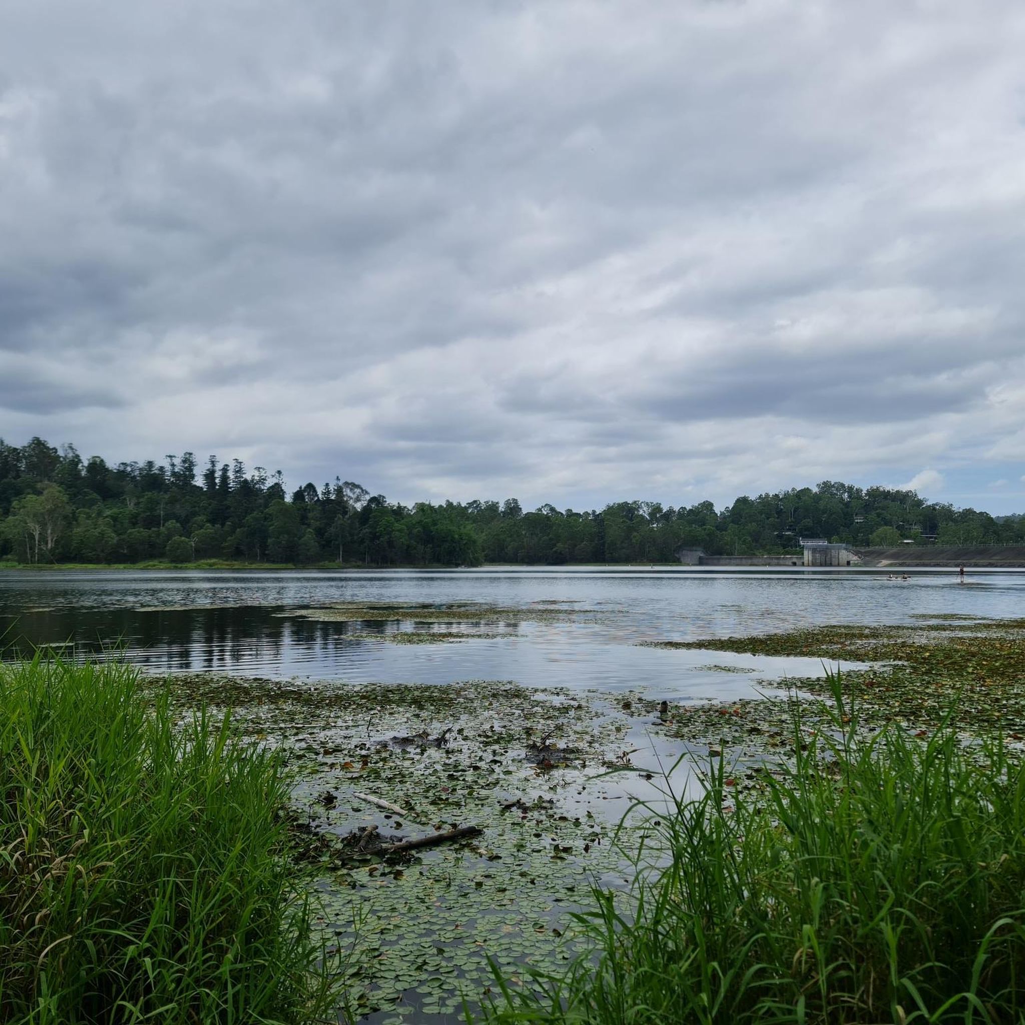
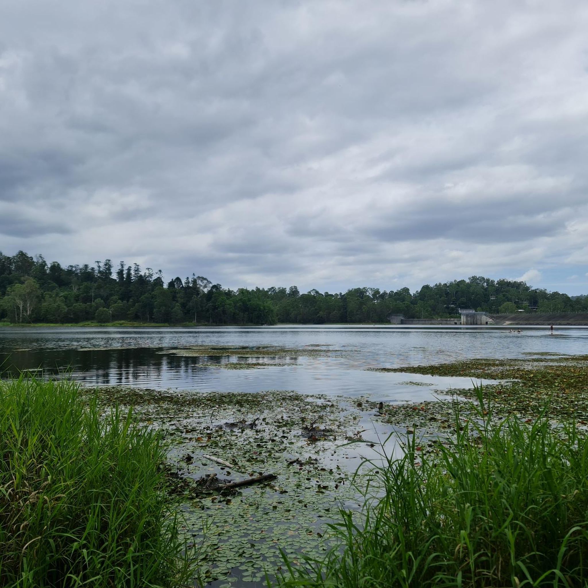
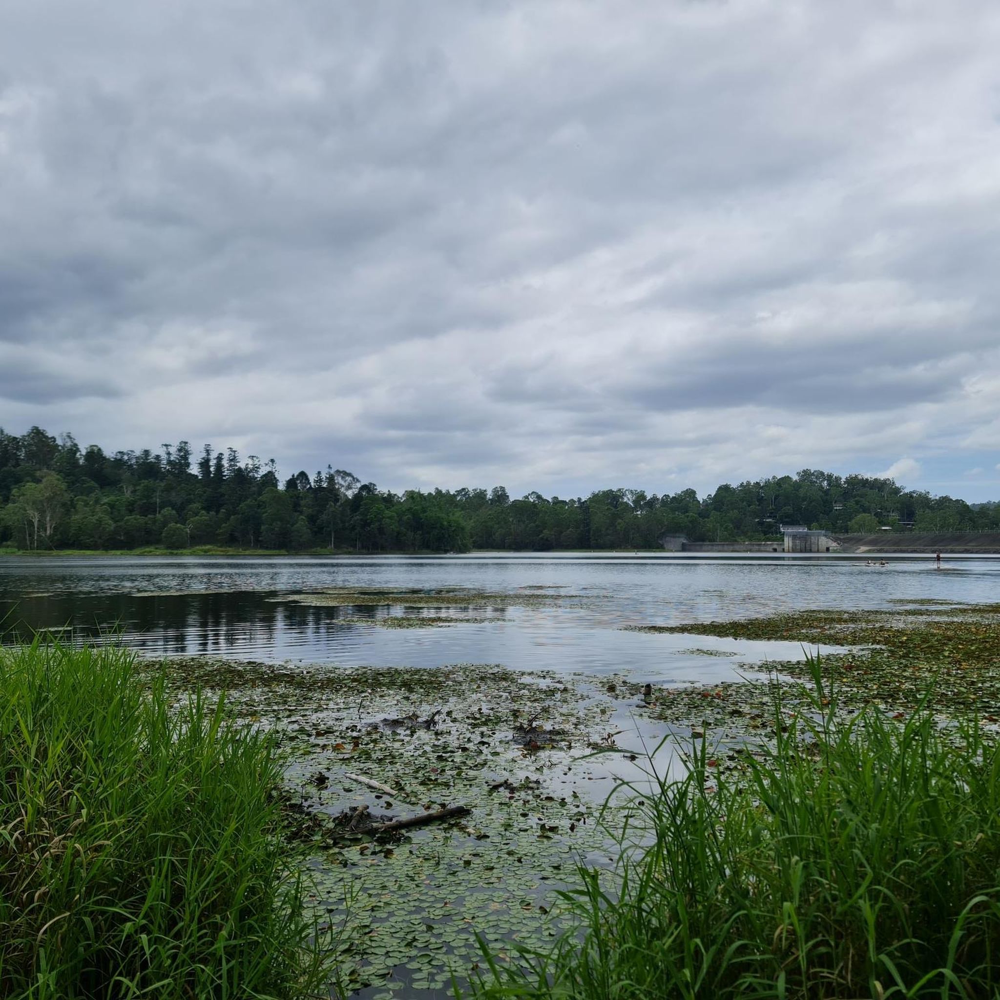
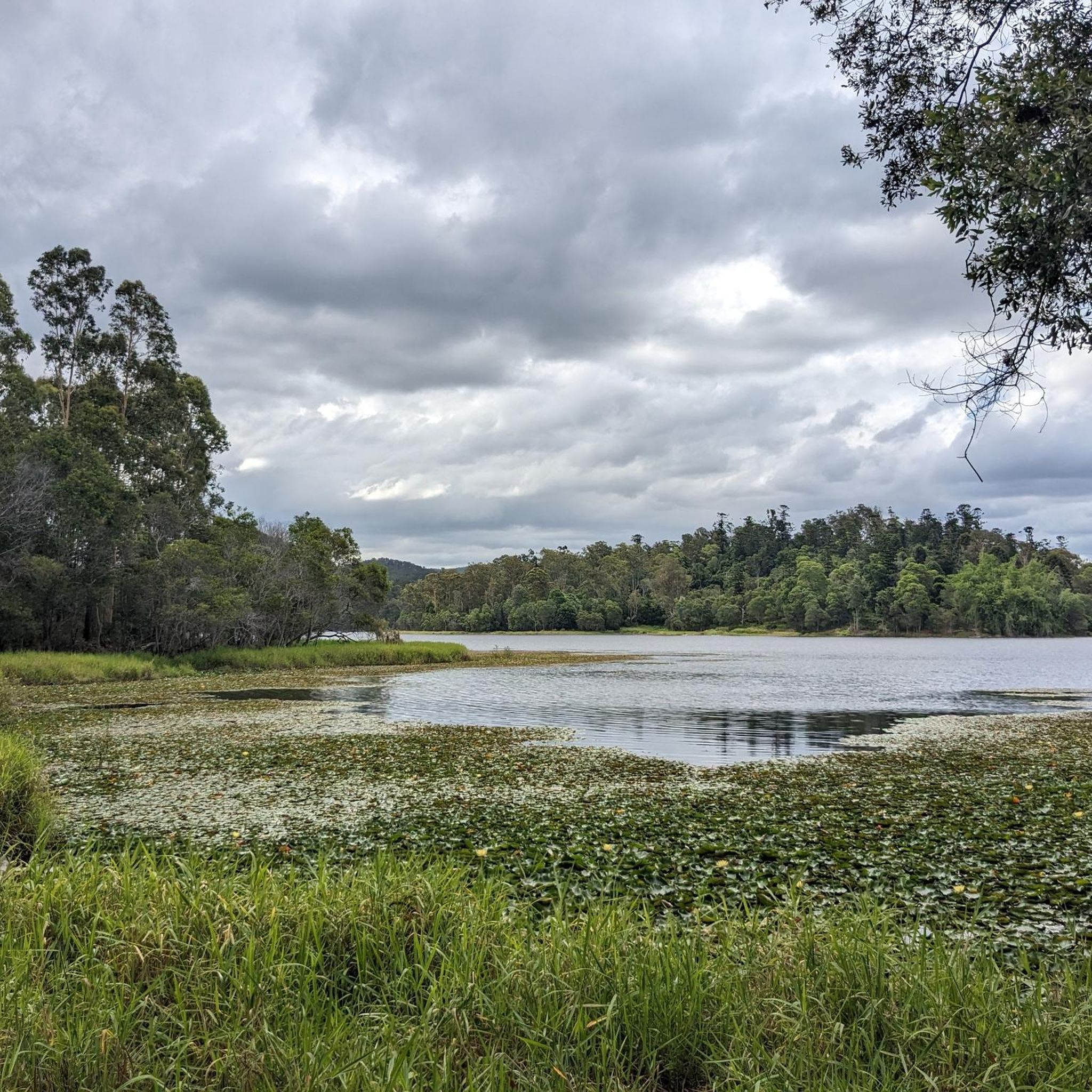
Tips from the Community

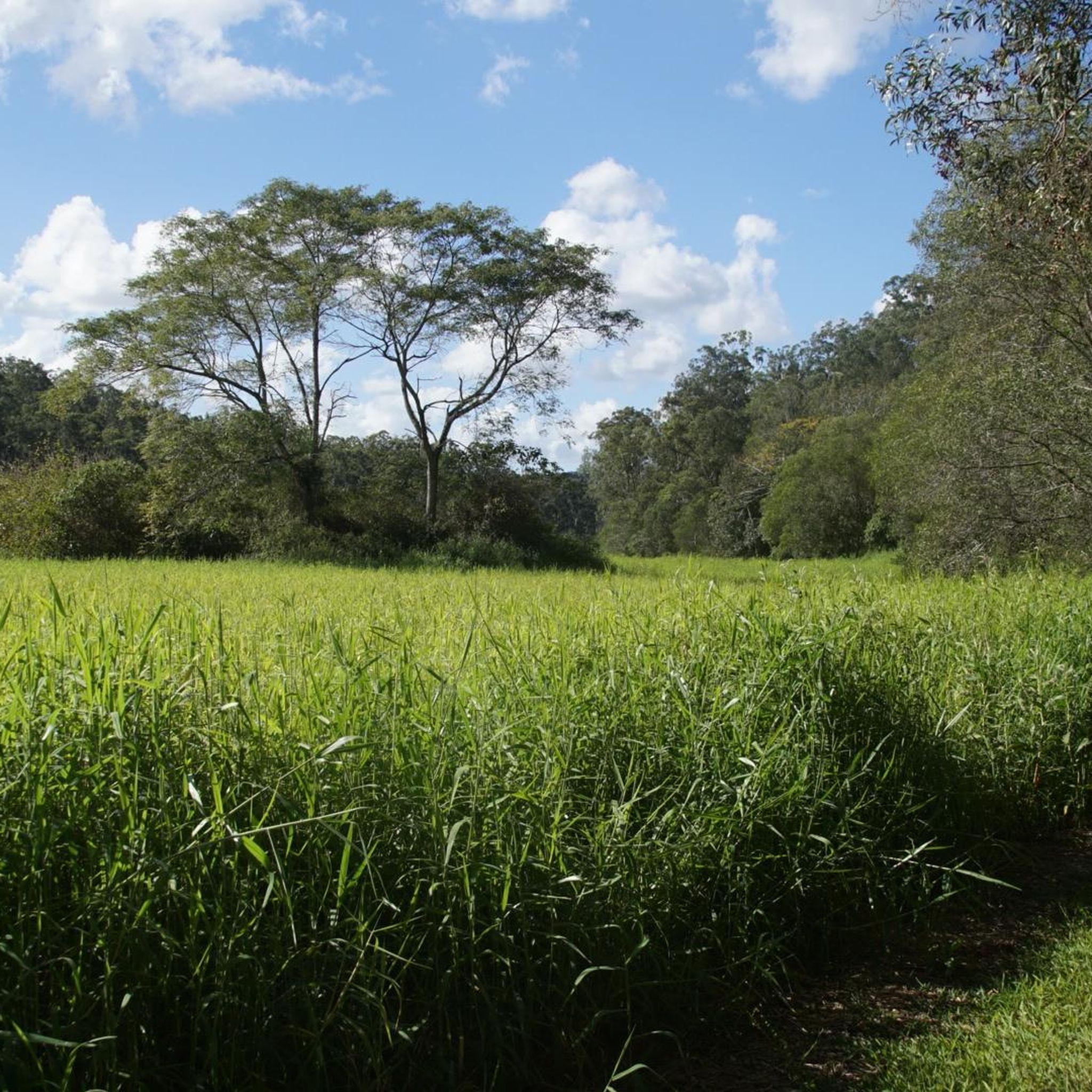
The Lanita Rail Trail (also known as the Samford Cycle Link or part of the broader Ferny Grove to Samford Rail Trail) is a historic rail trail that is shared by runners, walkers and bikers. It's paved and follows the old Dayboro branch railway line. The Lanita Rail Trail is just a 30-minute drive from the Brisbane Central Business District and feels like a nice escape into nature. Look out for railway cuttings and large earth embankments along the route as the trail passes under eucalypti forests that wild wallabies call home.
0
0
Kedron Creek passes under the Lanita Rail Trail and is a lively creek with ducks, herons, egrets, and kingfishers hanging out by the water's edge. It's scenic, surrounded by greenery and the bridge passing over it is very modern, looking like a wooden work of art.
0
0
Lanita Court transitions into the most western end of the Lanita Rail Trail at this point. A metal gate restricts vehicles from entering, and there is signage about the conservation area. This trailhead is just the end of a road and not an official parking area. It's best to park at the eastern end of the Lanita Rail Trail at the car park for Wahminda Park.
0
0

South Boundary Road trail is a wide gravel management road that runs through the southern section of D’Aguilar National Park, connecting many of the park’s walking, cycling, and equestrian trails. Running through native bushland, it’s the main access route that leads to several more challenging trails, and its wide surface and straightforward terrain make it a popular starting point for longer adventures in the park.
0
0
Cabbage Tree Creek Bikeway is a lovely, sealed shared pathway that follows Cabbage Tree Creek through a mix of bushland reserves, parkland, and open green space. It’s a mostly flat route that crosses a series of bridges and boardwalks as it runs along local parks, playgrounds, and neighbouring suburbs, making it popular for walking, running, and cycling. This creekside path is a great way to enjoy a peaceful stroll and is a nice escape from the urban hustle.
0
0

The picnic area has lots of shaded seating, and sprawls out across the street from the trailhead. There is parking and a restroom by the trail map as you start the track.
0
0
The Powerful Owl takes you on an elevated dirt track through the heart of the park. The path is wide and easy to follow, and is a great connector to the network of trails that spiderwebs out from it.
0
0

Ring Road is the main access route through Bunyaville Conservation Park, linking picnic areas, trailheads, and shared forest tracks beneath a canopy of tall eucalypts. The unsealed road winds through dry woodland and shaded gullies, with regular access to walking trails, mountain bike routes, and picnic facilities along the way. Around The Gully picnic area, you’ll find toilets, drinking water, picnic tables, and easy access to several short bush tracks through the forest.
0
0
Frequently Asked Questions
How many gravel bike trails are available in Enoggera Reservoir?
Enoggera Reservoir offers nearly 10 dedicated gravel bike routes on komoot, providing a variety of options for riders. The majority of these routes are rated as difficult, with one moderate option available.
What kind of terrain can I expect on gravel bike trails around Enoggera Reservoir?
The terrain around Enoggera Reservoir is diverse, featuring a mix of wide fire trails and narrower forest tracks. You'll encounter challenging climbs, accessible paths, and hills, navigating through bushland, wetlands, and areas with hoop pine forests. Some sections can be quite demanding and may even require pushing your bike.
Are there any family-friendly gravel cycling options near Enoggera Reservoir?
While many gravel routes in Enoggera Reservoir are rated as difficult, the area around the reservoir itself offers family-friendly amenities. The Walkabout Creek Discovery Centre has a Dinosaur Dig Sandpit for children, and there are picnic spots. For cycling, consider exploring the less challenging sections of fire trails or the 5km Araucaria Track, which is also suitable for walking and connects to a Mountain Bike Skills course.
What are some notable natural features or attractions to see while gravel biking in Enoggera Reservoir?
Beyond the trails, you can enjoy the calm waters of Enoggera Reservoir, which is suitable for swimming and non-motorised water sports. The area is rich in wildlife, including platypus, freshwater turtles, and various birds, especially in the wetlands and hoop pine forests. The Walkabout Creek Discovery Centre is also nearby, offering wildlife displays and exhibits.
Are there any circular gravel bike routes in the Enoggera Reservoir area?
Yes, many of the gravel bike routes in Enoggera Reservoir are designed as loops. For example, the Enoggera Reservoir loop from The Gap is a popular 48.9 km circular trail, and the Canopy Pathway – Canopy Walkway loop from Ferny Grove offers a moderate 32.9 km option.
What is the best time of year to go gravel biking in Enoggera Reservoir?
The region's climate generally allows for gravel biking year-round. However, for the most comfortable experience, consider visiting during the cooler, drier months to avoid the peak heat and humidity of summer. Always check local weather conditions before heading out.
Where can I park when visiting Enoggera Reservoir for gravel biking?
Parking is generally available near the main access points to the D'Aguilar National Park and the Enoggera Reservoir area. The Walkabout Creek Discovery Centre, which serves as a gateway to the park, typically has parking facilities. Some routes, like the Wahminda Park Parking Area – View of the Countryside loop from Ferny Grove, even start from designated parking areas.
What do other gravel bikers say about the trails in Enoggera Reservoir?
The gravel bike trails in Enoggera Reservoir are highly rated by the komoot community, with an average score of 4.0 stars. Riders often praise the challenging nature of the routes, the scenic journeys through native forests, and the varied terrain that keeps rides interesting.
Are there any routes suitable for advanced gravel bikers looking for a challenge?
Absolutely. Enoggera Reservoir is known for its challenging gravel rides. Routes like the AS0310 loop from Brookfield, covering nearly 50 km with significant elevation gain, are rated as difficult and require good fitness and advanced riding skills. The area's fire roads and forest tracks provide ample opportunity for demanding rides.
Can I access Enoggera Reservoir by public transport for gravel biking?
Enoggera Reservoir is located approximately 12 kilometers north of Brisbane's CBD. While direct public transport to the trailheads might be limited, you can likely reach nearby suburbs by bus or train and then cycle the remaining distance to the reservoir or specific trail starting points. It's advisable to check local public transport schedules and routes for the most current information.
Are there opportunities for swimming after a gravel bike ride in Enoggera Reservoir?
Yes, the Enoggera Reservoir itself offers a designated swimming area, making it a perfect spot to cool off after a challenging gravel bike ride. The sandy shore is also ideal for relaxing or having a picnic.
What kind of wildlife might I encounter on the gravel trails?
The diverse ecosystems of wetlands, bushland, and hoop pine forests around Enoggera Reservoir are home to various wildlife. You might spot platypus, freshwater turtles, kingfishers, water birds, wallabies, and even lace monitors (goannas). Birdwatching is also a popular activity in the area.
Most popular routes in Enoggera Reservoir

Get inspired with the komoot mobile app


Explore more
Browse the best Gravel rides in other regions.
