The best cycling routes in Enoggera Reservoir
4.6
(153)
3,597
riders
68
rides
Touring cycling in Enoggera Reservoir offers a mix of urban fringe routes and paths around the reservoir itself. The area features undulating terrain with some notable hills, particularly around the reservoir's natural parkland. Cyclists can expect routes that traverse suburban areas, connect to city bikeways, and explore the natural environment surrounding the water body. The landscape is characterized by a blend of developed areas and green spaces, providing varied scenery for touring cyclists.
Best touring cycling routes in Enoggera Reservoir
- The most popular touring cycling route is QUT Car Park loop from The Gap, an 18.4 miles (29.6 km) trail that takes about 1 hour 47 minutes to complete. This moderate route offers a mix of suburban and parkland cycling.
- Another top favourite among local touring cyclists is Bike loop from Upper Kedron, a difficult 33.2 miles (53.5 km) path. This longer route features significant elevation gain, traversing varied terrain from suburban streets to more natural areas.
- Local touring cyclists also love the Goodwill Bridge – Kurilpa Bridge loop from ABC Brisbane, a 19.6 miles (31.6 km) trail leading through urban landscapes and along riverfronts, often completed in about 2 hours 1 minute.
- Touring cycling in Enoggera Reservoir is defined by suburban roads, parkland paths, and river-adjacent bikeways. The network offers options for different ability levels, from moderate loops to more challenging long-distance routes with significant climbs.
- The routes in Enoggera Reservoir are highly rated by the komoot community with an average score of 4.6 stars from over 175 reviews. More than 4000 touring cyclists have used komoot to explore Enoggera Reservoir's varied terrain.
Last updated: July 4, 2026
4.3
(6)
53
riders
29.1km
01:44
170m
170m
Moderate bike ride. Good fitness required. Mostly paved surfaces. Suitable for all skill levels.
6
riders
21.1km
01:56
560m
560m
Hard bike ride. Very good fitness required. Mostly paved surfaces. Suitable for all skill levels.

Sign up for free
12
riders
30.9km
02:00
300m
300m
Moderate bike ride. Good fitness required. Mostly paved surfaces. Suitable for all skill levels.
3
riders
14.5km
01:17
270m
270m
Moderate bike ride. Good fitness required. Mostly paved surfaces. Suitable for all skill levels.
4.7
(45)
918
riders
55.9km
03:24
420m
420m
Moderate bike ride. Good fitness required. Mostly paved surfaces. Suitable for all skill levels.
Get access to more routes and recommendations from other explorers.
Sign up for free
Already have an account?
Our route recommendations are based on thousands of hikes, rides, and runs completed by other people on komoot.
Start today with a free account
Your next adventure awaits.
Login or Signup

Tips from the Community

South Bank Parklands combines riverfront paths, landscaped gardens, and public spaces across a large stretch of the city’s foreshore. The area includes the Streets Beach lagoon, shaded walkways like the Arbour, and open lawns with views across to the CBD. It connects directly into the riverside path network and forms one of the main public spaces along the river.
0
0

The Silky Oaks carpark and picnic area in Mount Coot-tha Reserve is a spacious, open grassy area set among tall trees along Sir Samuel Griffith Drive. Sheltered picnic tables sit near the forest edge, with nearby trail access connecting directly to the Powerful Owl Trail and surrounding tracks. Its easy access and quieter setting make it a convenient place to start a walk or take a break.
0
0
Enoggera Creek Bikeway is a paved, shared-use path that runs through Brisbane’s northern suburbs, including Windsor, Wilston, Newmarket, and out towards The Gap. The trail is mostly flat and well signposted, making it suitable for beginners, families, and cyclists. It follows Enoggera Creek through a series of parks and playgrounds, with plenty of spots to stop along the way.
0
0
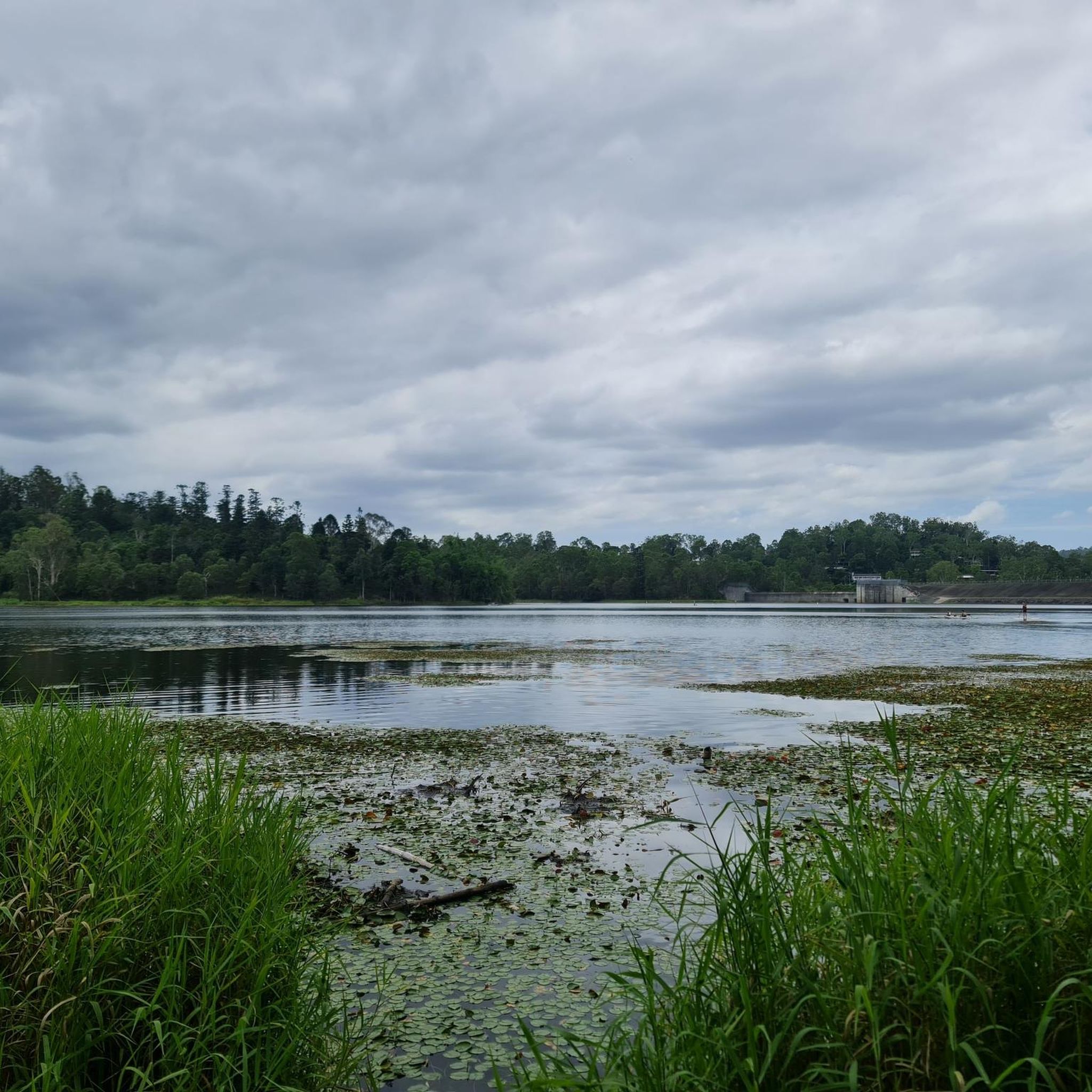
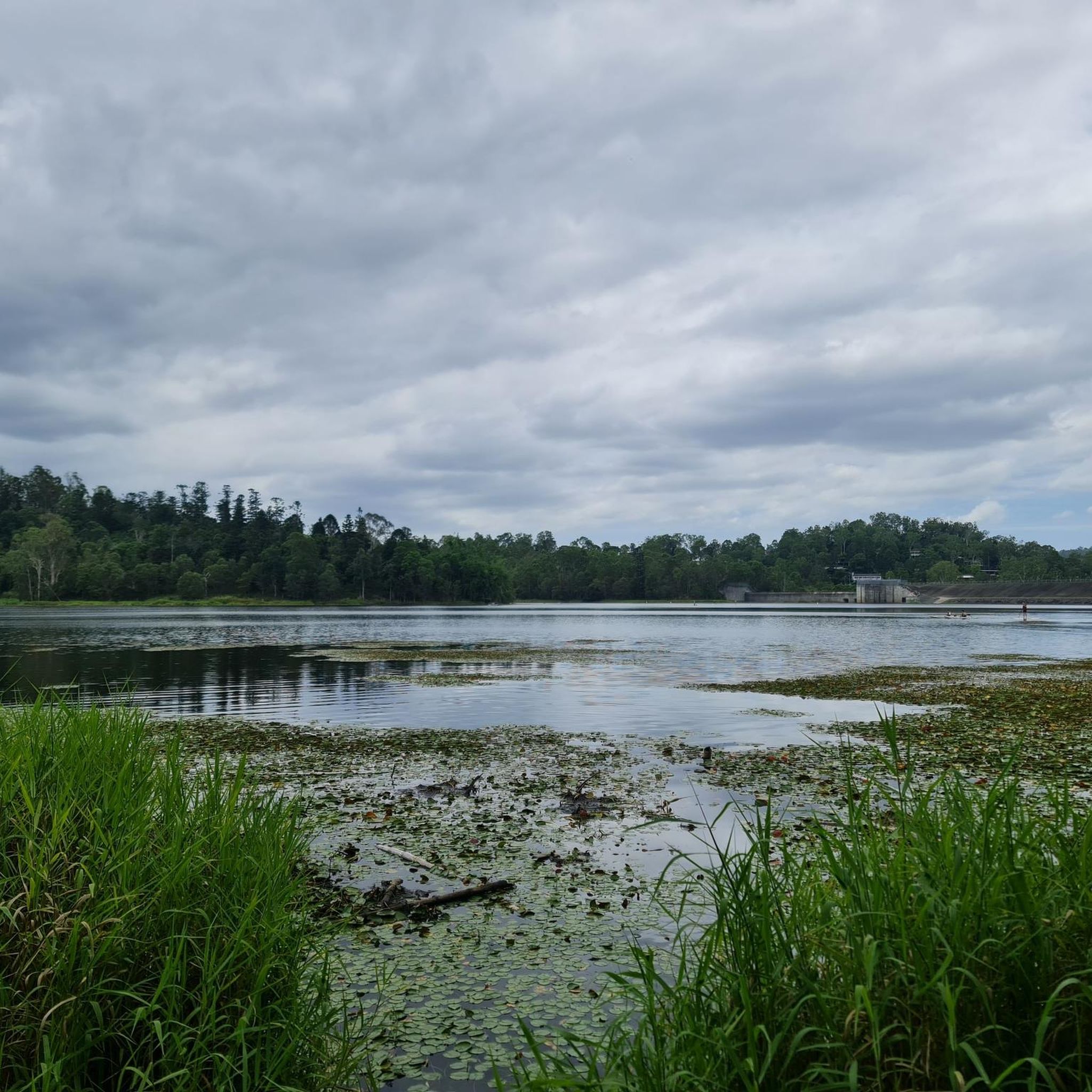
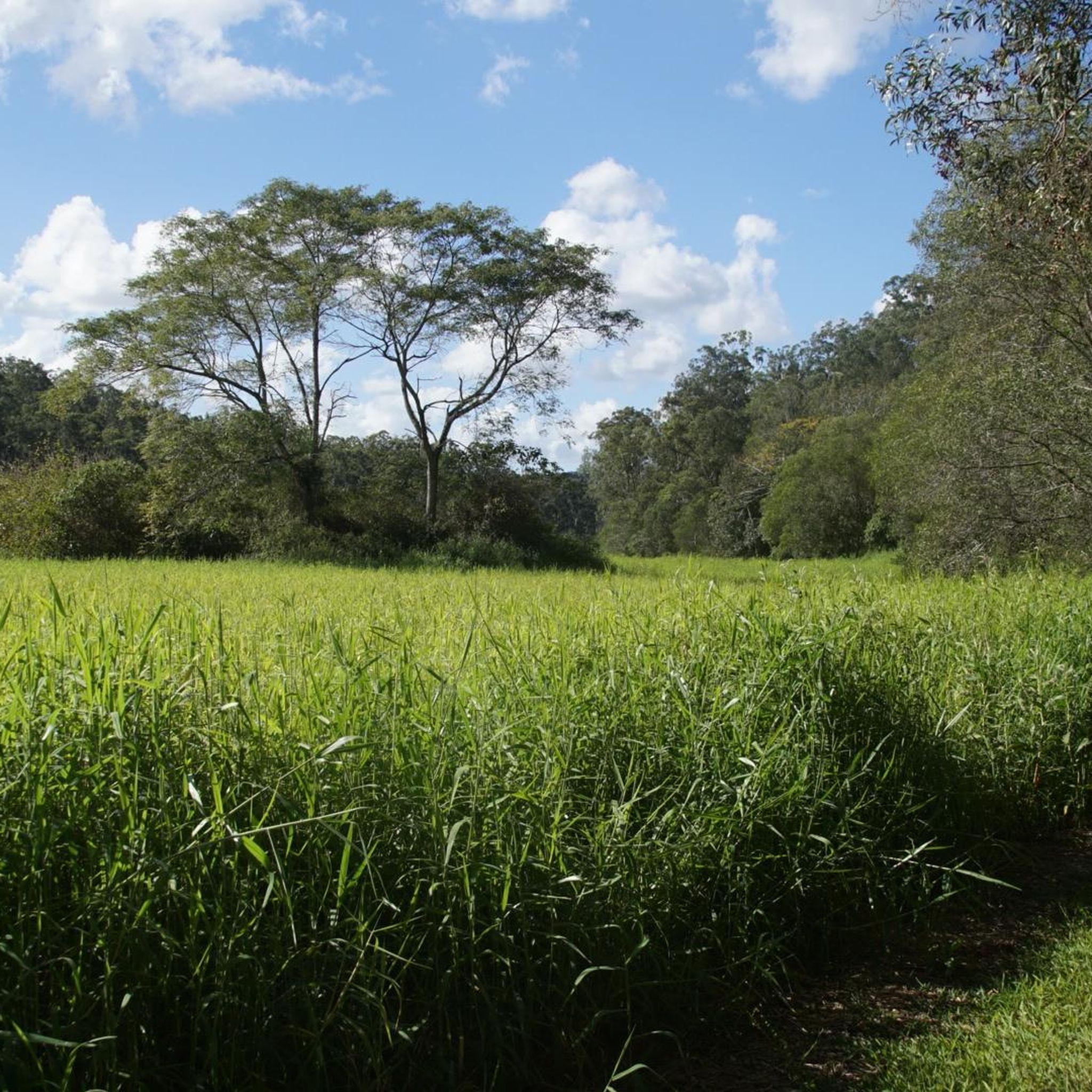
Enoggera Creek flows from the D’Aguilar Range through Brisbane’s northern suburbs, running for about 18 kilometres before becoming Breakfast Creek and joining the Brisbane River. Along the Newmarket section, it appears as a narrow, often shallow waterway, sometimes reduced to still or low-flow sections. After heavy rain, it can rise quickly and overflow into surrounding parkland. The creek is bordered by green corridors and the Enoggera Creek Bikeway.
0
0
Queen Street Mall is Brisbane’s main pedestrian shopping strip, running through the heart of the city centre. The wide, traffic-free walkway is lined with retail arcades, cafés and heritage façades alongside modern towers, giving you a clear sense of the city’s energy and scale. Street performers and public art often add to the atmosphere as you move between the river and the CBD.
0
0
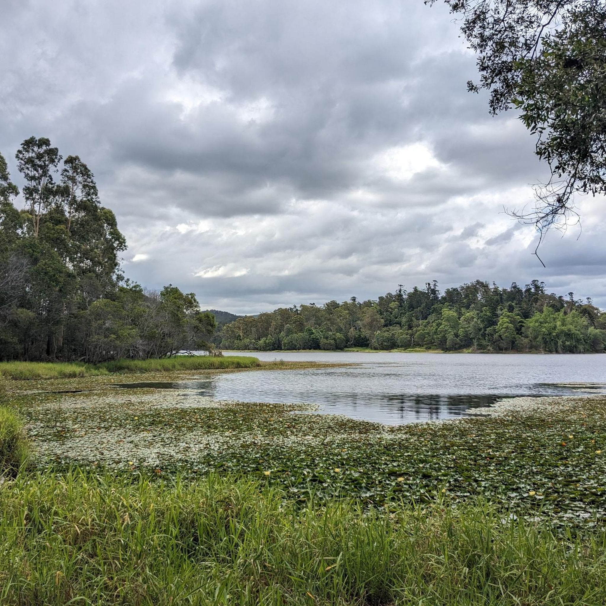
This sandy swimming area at Enoggera Reservoir is a rare inland “beach” experience in Brisbane. A roped enclosure marks the designated swim zone, creating a safer space for cooling off while keeping paddlers and wildlife separate. The beach is open seven days a week, from 5.30 am to 6.30 pm between September and April, and from 6.00 am to 5.30 pm between May and August.
0
0
Opened in 2001, the Goodwill Bridge is a pedestrian and cycle crossing over the Brisbane River linking South Bank with the city near the Botanic Gardens. Its sleek, cable-stayed design and gentle curves make it a popular, traffic-free route with expansive river and skyline views. The bridge also hosts small lookout bays and often features public art and lighting displays during city events.
0
0
William Jolly Bridge is a heritage-listed road and pedestrian bridge spanning the Brisbane River between the CBD and South Brisbane. Opened in 1932, it is recognised for its distinctive concrete arch design and Art Deco detailing. The bridge remains an important inner-city crossing and a prominent architectural landmark along the river corridor.
0
0
Frequently Asked Questions
How many touring cycling routes are available in the Enoggera Reservoir area?
There are over 70 touring cycling routes in the Enoggera Reservoir region, offering a diverse range of experiences for cyclists. These include 17 easy, 38 moderate, and 23 difficult routes.
Are there easy or family-friendly touring cycling routes around Enoggera Reservoir?
Yes, the Enoggera Reservoir area offers 17 easy touring cycling routes suitable for beginners or families. These routes often traverse suburban areas and parklands, providing a relaxed cycling experience. While specific family-friendly routes aren't detailed, the easier options are generally well-suited for a leisurely ride.
What is the typical length and duration of touring cycling routes in Enoggera Reservoir?
Route lengths vary significantly. For example, the QUT Car Park loop from The Gap is 18.4 miles (29.6 km) and takes about 1 hour 47 minutes, while the more challenging Bike loop from Upper Kedron spans 33.2 miles (53.5 km) and can take over 4 hours due to significant elevation gain.
Are there any challenging touring cycling routes for experienced riders?
Absolutely. For experienced touring cyclists seeking a challenge, there are 23 difficult routes. An example is the Bike loop from Upper Kedron, which covers 33.2 miles (53.5 km) with substantial elevation gain, traversing varied terrain from suburban streets to more natural areas. Another challenging option is the Rainforest Cafe – Enoggera Reservoir loop from The Gap, featuring significant climbs over 20.9 km.
What kind of terrain can I expect on touring cycling routes in Enoggera Reservoir?
The terrain around Enoggera Reservoir is quite varied. You can expect a mix of urban fringe roads, dedicated bikeways, and paths through parklands. Many routes feature undulating terrain with some notable hills, especially closer to the reservoir's natural parkland. Routes can range from flat riverfront paths to more challenging climbs.
Are there any circular touring cycling routes in the area?
Yes, many touring cycling routes in Enoggera Reservoir are designed as loops. Examples include the popular QUT Car Park loop from The Gap and the urban Goodwill Bridge – Kurilpa Bridge loop from ABC Brisbane, which offers riverfront views.
What are the best seasons for touring cycling in Enoggera Reservoir?
The Enoggera Reservoir area is generally pleasant for cycling year-round, but the cooler, drier months from autumn to spring (March to November) are often preferred to avoid the peak heat and humidity of summer. Always check local weather forecasts before heading out, as conditions can impact trail enjoyment.
What do other touring cyclists say about the routes in Enoggera Reservoir?
The touring cycling routes in Enoggera Reservoir are highly rated by the komoot community, with an average score of 4.6 stars from over 175 reviews. Cyclists often praise the blend of suburban and natural scenery, the variety of terrain, and the well-maintained paths that connect different parts of the region.
Are there any cafes or places to stop for refreshments along the touring cycling routes?
Given the mix of urban and parkland routes, you'll find various cafes and refreshment stops, especially on routes that pass through suburban areas or along riverfronts. For example, the Kurilpa Bridge – Brunetti Café Kiosk loop from Chapel Hill explicitly mentions a cafe kiosk, indicating opportunities for breaks.
Can I access touring cycling routes in Enoggera Reservoir using public transport?
Many routes in the Enoggera Reservoir area are accessible via public transport, particularly those that start or pass through more urbanized sections or connect to Brisbane's bikeway network. Check local bus or train routes that serve The Gap, Upper Kedron, or central Brisbane starting points for convenient access.
What kind of wildlife might I encounter while cycling around Enoggera Reservoir?
As you cycle through the parklands and natural areas surrounding Enoggera Reservoir, you might spot various bird species, including water birds near the reservoir itself. Keep an eye out for wallabies or other small marsupials, especially during quieter times of the day. Always maintain a respectful distance from wildlife.
Are there scenic viewpoints along the touring cycling routes?
Yes, the routes offer several scenic viewpoints, particularly those that hug the reservoir's edge or climb to higher elevations. You'll enjoy views of the reservoir, surrounding parklands, and the Brisbane cityscape from various vantage points, especially on routes that incorporate bridges or elevated sections.
Most popular routes in Enoggera Reservoir

Get inspired with the komoot mobile app


Explore more
Browse the best Cycling routes in other regions.
