The best walks and hikes in Enoggera Reservoir
4.5
(251)
3,565
hikers
115
hikes
Hiking trails in Enoggera Reservoir are situated within the southern section of D'Aguilar National Park, offering diverse landscapes just north of the Brisbane CBD. The region is characterized by the reservoir itself, surrounded by hoop pine and eucalypt forests, shaded gullies, and wetlands. Hikers can expect varied terrain, including challenging steep hills and inclines alongside flatter sections, with tranquil rocky creek areas also present.
Best hiking trails in Enoggera Reservoir
- The most popular hiking route is Enoggera Reservoir Circuit, a 6.8 miles (11.0 km) trail that takes 2 hours 57 minutes to complete. This route provides extensive views of the reservoir and passes through mostly canopied forest with some steep sections.
- Another top favourite among local hikers is Araucaria Track loop, an easy 3.0 miles (4.8 km) path. This trail follows the reservoir bank and winds through a hoop pine forest.
- Local hikers also love the Enoggera Reservoir – Hike Around Enoggera Reservoir loop from The Gap, a 3.0 miles (4.9 km) trail leading through bushland and offering reservoir views, often completed in about 1 hour 18 minutes.
- Hiking in Enoggera Reservoir is defined by its reservoir views, hoop pine forests, and varied terrain including steep hills and shaded gullies. The network offers options for different ability levels, from easy loops to more challenging circuits.
- The routes in Enoggera Reservoir are highly rated by the komoot community with an average score of 4.6 stars from over 250 reviews. More than 3900 hikers have used komoot to explore Enoggera Reservoir's varied terrain.
Last updated: November 14, 2026
4.4
(36)
242
hikers
11.0km
02:57
140m
140m
Moderate hike. Good fitness required. Easily walkable paths.
4.8
(5)
171
hikers
4.82km
01:17
60m
60m
Easy hike. Easily walkable paths.

3.0
(1)
18
hikers
7.53km
02:15
200m
200m
Moderate hike. Good fitness required. Easily walkable paths.
6
hikers
23.9km
06:56
620m
620m
Hard hike. Very good fitness required. Easily walkable paths.
4.7
(3)
37
hikers
3.53km
00:56
30m
30m
Easy hike. Easily walkable paths.
Get access to more routes and recommendations from other explorers.
Already have an account?
Our route recommendations are based on thousands of hikes, rides, and runs completed by other people on komoot.
Start today with a free account
Your next adventure awaits.

Tips from the Community

Originally built as a management track, South Boundary Road now provides an easy walking route through the western side of the reserve. The broad trail makes it a great place to soak up the quiet bushland scenery.
0
0
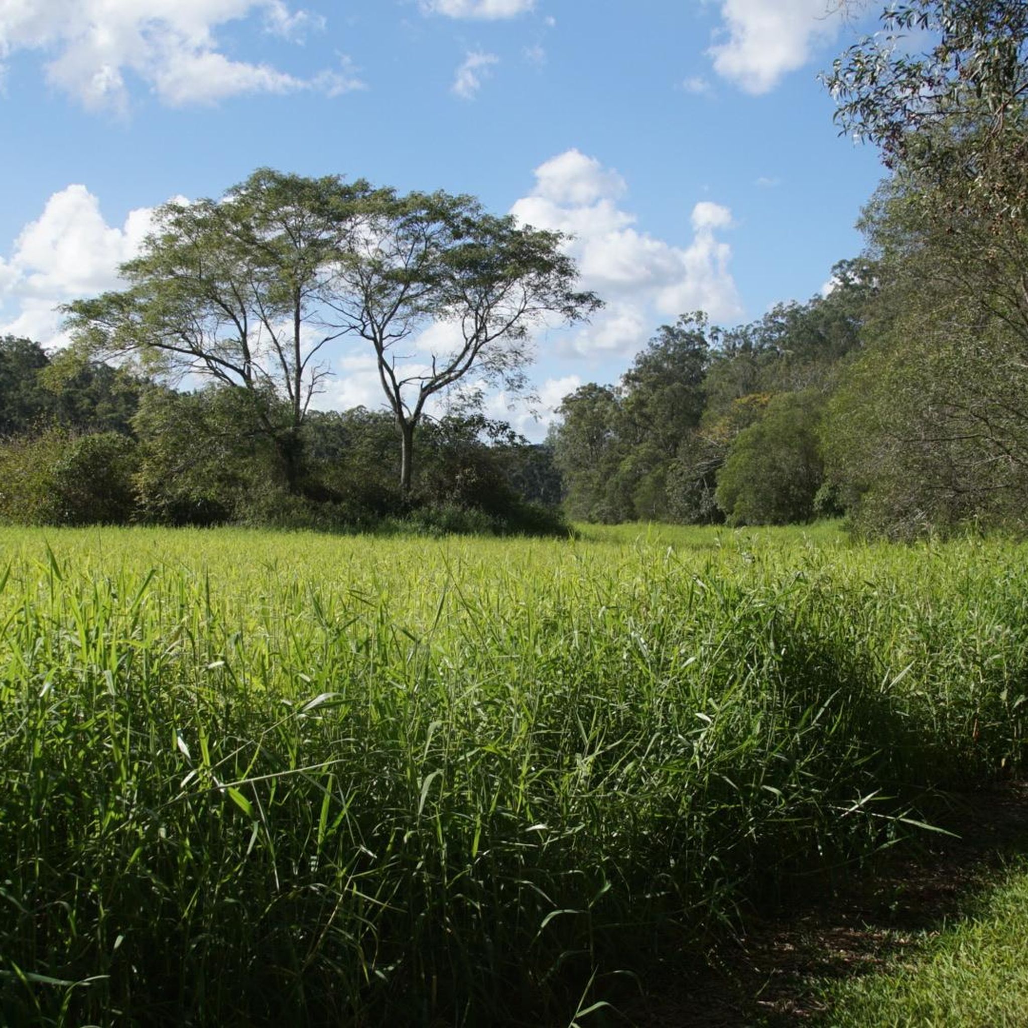
The trail winds through tall eucalypt forest, where towering gum trees provide welcome shade and birdsong is rarely far away. Keep an eye out for lace monitors, eastern water dragons and the occasional koala resting high in the canopy.
0
0
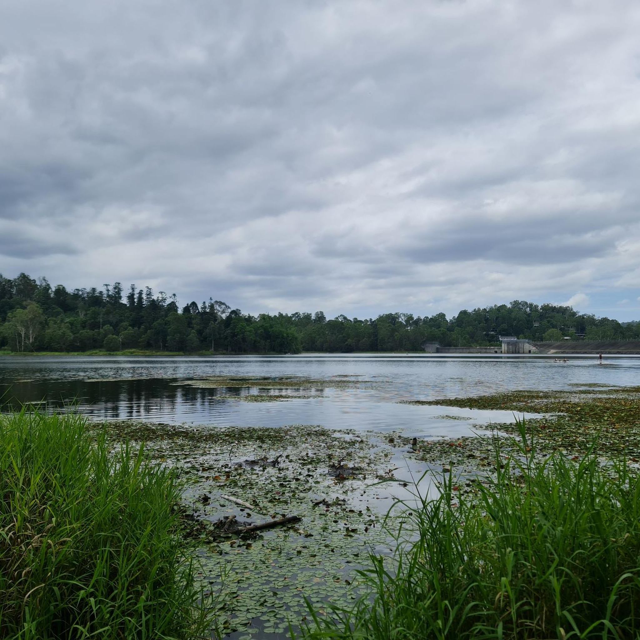
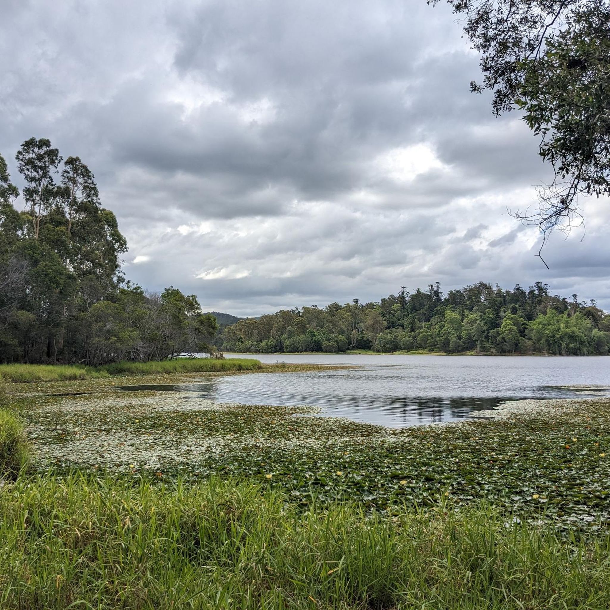
Follow the shoreline of Enoggera Reservoir as the track weaves between the water and the bush. Built in the 1860s as Queensland's first major water storage, it's now a peaceful spot where turtles, waterbirds and paddlers are a common sight.
0
0

Hell Hole Break trail branches off South Boundary Road and is relatively challenging, descending into the bushland with a creek crossing that is typically dry roughly halfway along the route. It then climbs back to meet other management trails in the park. Its steeper gradients make it one of the more physically demanding sections of the trail network, and it’s often combined with South Boundary Road trail and Nebo Road Break as part of several longer loop walks through this beautiful area.
0
0
South Boundary Road trail is a wide gravel management road that runs through the southern section of D’Aguilar National Park, connecting many of the park’s walking, cycling, and equestrian trails. Running through native bushland, it’s the main access route that leads to several more challenging trails, and its wide surface and straightforward terrain make it a popular starting point for longer adventures in the park.
0
0
This sandy swimming area at Enoggera Reservoir is a rare inland “beach” experience in Brisbane. A roped enclosure marks the designated swim zone, creating a safer space for cooling off while keeping paddlers and wildlife separate. The beach is open seven days a week, from 5.30 am to 6.30 pm between September and April, and from 6.00 am to 5.30 pm between May and August.
0
0
Enoggera Reservoir sits within D’Aguilar National Park on Brisbane’s north-western edge, offering a mix of bushwalking, mountain biking and non-motorised water activities. The reservoir is popular for kayaking, stand-up paddleboarding and designated swimming areas. Surrounding tracks wind through open eucalypt forest and shaded gullies. Carry water, and stay on marked tracks to protect surrounding bushland.
0
0
Enoggera Dam is a heritage-listed concrete gravity dam that was completed in 1866. It is Queensland's oldest dam and was originally a major source of drinking water for the city before it became a popular recreational hub. Today, the dam wall and the surrounding reserve are valued for their historical significance, natural beauty, and access to walking trails and water activities.
1
0
Frequently Asked Questions
How many hiking trails are there in Enoggera Reservoir?
Enoggera Reservoir offers over a dozen distinct hiking trails, catering to various skill levels. You'll find a mix of easy, moderate, and challenging routes to explore the diverse landscapes of the area.
What kind of terrain can I expect on the trails?
The terrain around Enoggera Reservoir is quite varied. You can expect to hike through giant hoop pine and eucalypt forests, shaded gullies, and wetlands. Some trails feature tranquil rocky creek areas and sandy shores along the dam. Be prepared for a mix of challenging steep hills and inclines, as well as flatter, easier sections.
Are there family-friendly hiking options in Enoggera Reservoir?
Yes, there are several family-friendly options. The Araucaria Track loop is a popular choice, offering an easy 4.8 km path that follows the reservoir bank and winds through a hoop pine forest. Additionally, the nearby Walkabout Creek Discovery Centre features a free Dinosaur Dig Sandpit, which is a great activity for children.
Are there any circular hiking routes available?
Absolutely. Many of the trails in Enoggera Reservoir are circular, allowing you to experience different scenery without retracing your steps. A notable example is the Enoggera Creek Crossing – Enoggera Dam loop from The Gap, which offers a moderate 10.3 km hike.
What kind of wildlife can I see while hiking?
Enoggera Reservoir is rich in wildlife. Hikers often spot a variety of birdlife, including kingfishers and water birds. Freshwater turtles can be seen among lily pads, and there are opportunities to encounter platypuses, wallabies, koalas, and lace monitors (goannas) in their natural habitats. The Walkabout Creek Discovery Centre also provides an interactive experience with Australian wildlife.
Are there any trails with waterfalls?
Yes, some paths within the Enoggera Reservoir area and leading into D'Aguilar National Park do feature waterfalls, adding to the scenic beauty of your hike. These are often found in the more lush, shaded gullies.
Is parking available at Enoggera Reservoir?
Yes, parking facilities are available for visitors accessing the hiking trails and other amenities at Enoggera Reservoir. It's advisable to arrive early during peak times, especially on weekends, to secure a spot.
How can I get to Enoggera Reservoir by public transport?
Enoggera Reservoir is accessible by public transport from Brisbane CBD. You can typically take a bus service that connects to the area, often stopping near the Walkabout Creek Discovery Centre, which is adjacent to the reservoir. Check local transport schedules for the most current routes and timings.
Are dogs allowed on the hiking trails?
No, as Enoggera Reservoir is located within D'Aguilar National Park, pets are not permitted on the hiking trails or within the park area to protect the native wildlife and natural environment.
What attractions are near the hiking trails?
Adjacent to the reservoir is the Walkabout Creek Discovery Centre, offering interactive wildlife exhibits, a cafe, and ranger-led shows. The Enoggera Dam itself, completed in 1866, is Queensland's oldest dam and holds historical significance. You can also find sandy shores and tranquil rocky creek areas perfect for relaxation.
When is the best time to hike in Enoggera Reservoir?
The best time to hike in Enoggera Reservoir is generally during the cooler months, from autumn to spring (March to November), to avoid the intense summer heat and humidity. Early mornings are also ideal for spotting wildlife and enjoying cooler temperatures.
Do I need a map or GPS for hiking in the area?
While many trails are well-defined, some sections, particularly those leading further into D'Aguilar National Park, can be unmarked. It is recommended to carry topographical maps or use a GPS-enabled phone or device for navigation, especially if you plan to explore less-trafficked routes.
What do other hikers say about Enoggera Reservoir?
The area is highly rated by the komoot community, with an average score of 4.6 stars from over 250 reviews. Reviewers often praise the beautiful reservoir views, the peaceful hoop pine forests, and the varied terrain that offers something for all ability levels.
Most popular routes in Enoggera Reservoir

Get inspired with the komoot mobile app


Explore more
Browse the best Hikes in other regions.
