The best road cycling routes in Enoggera Reservoir
4.5
(79)
4,827
riders
54
rides
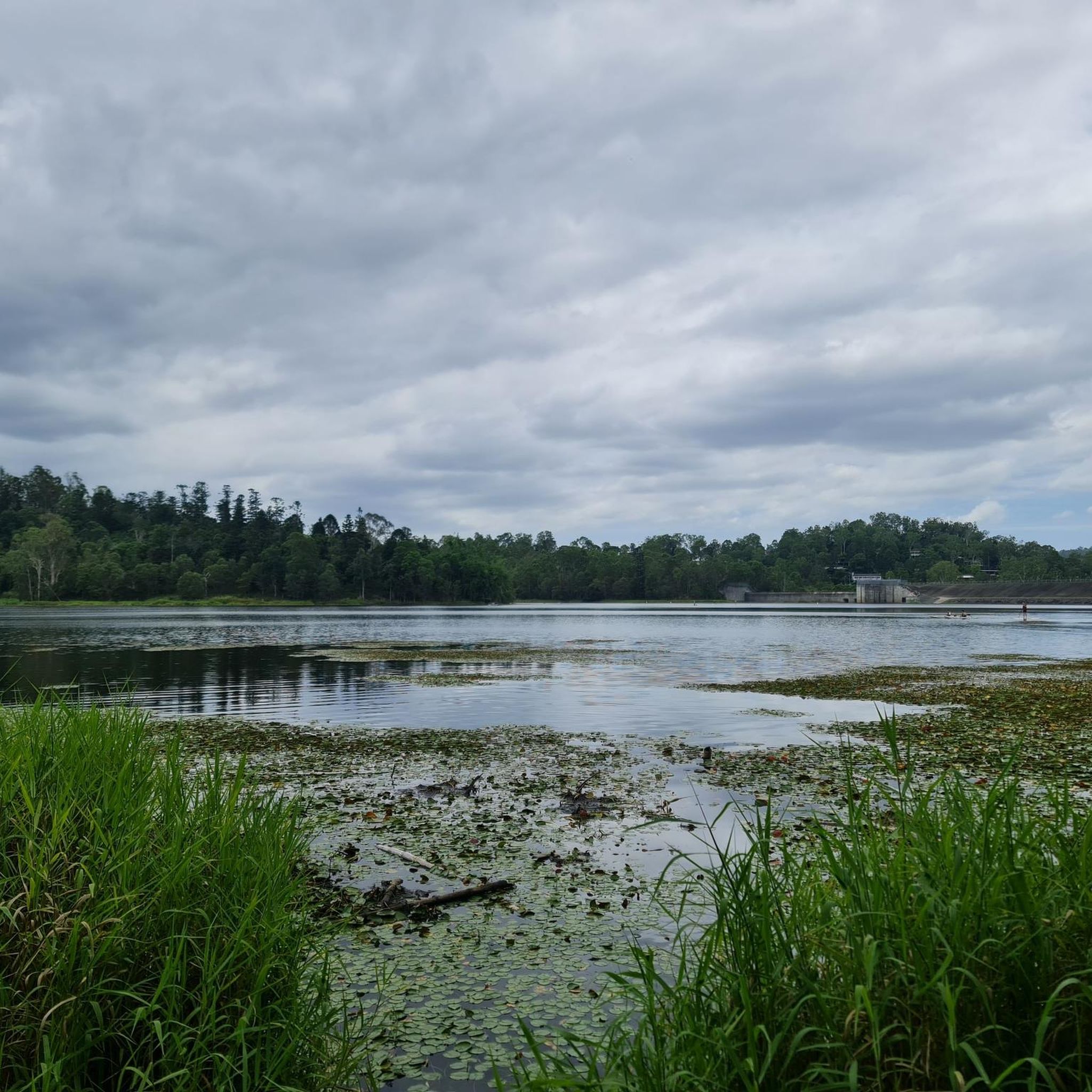
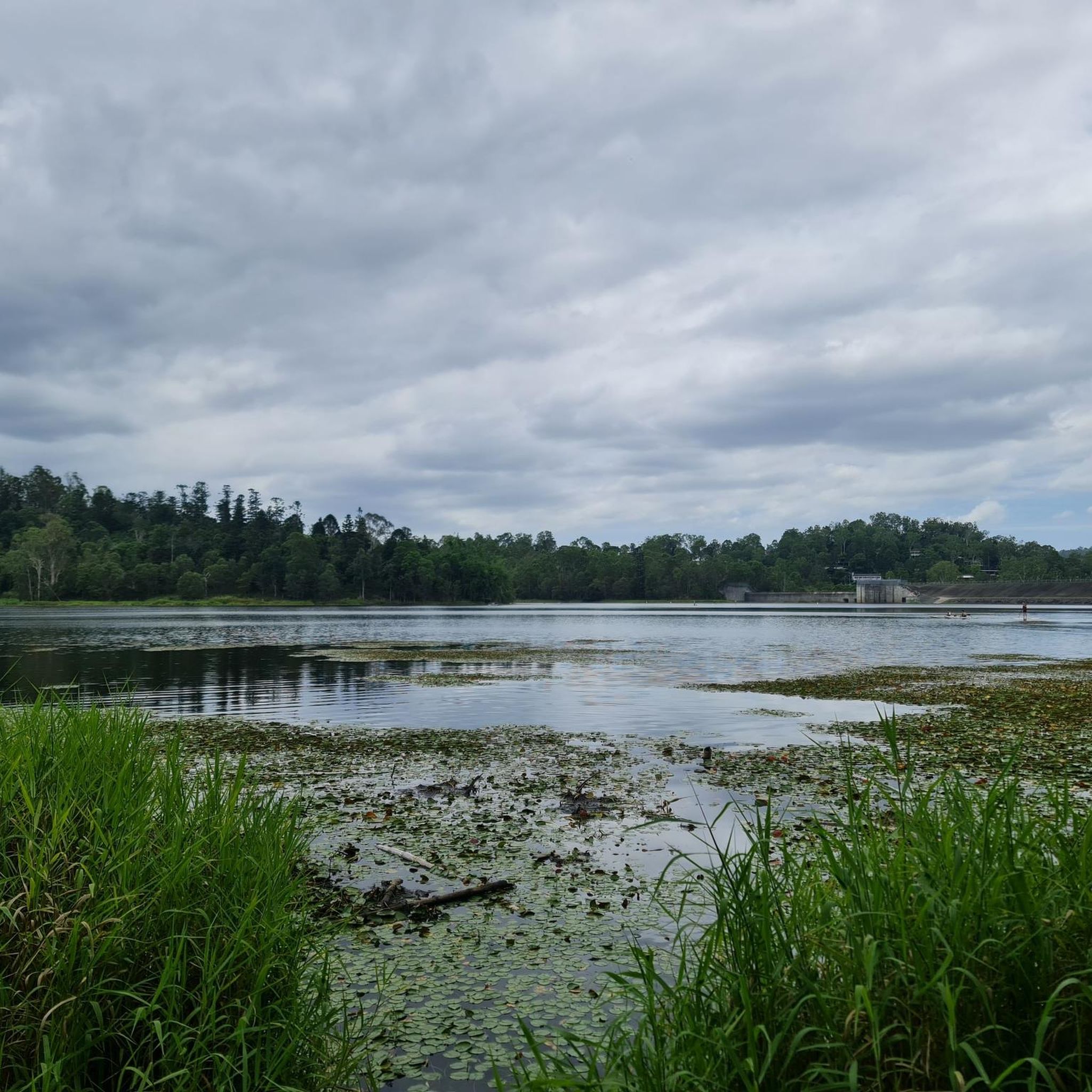
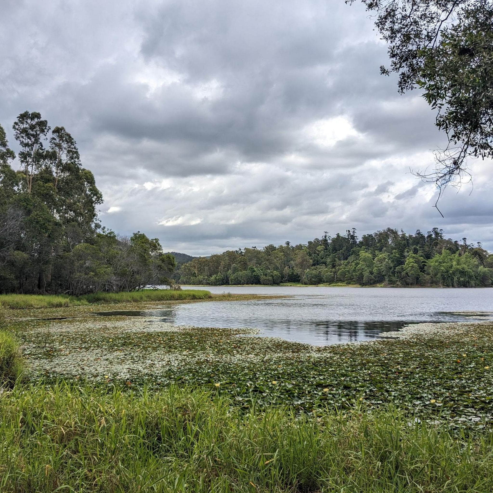
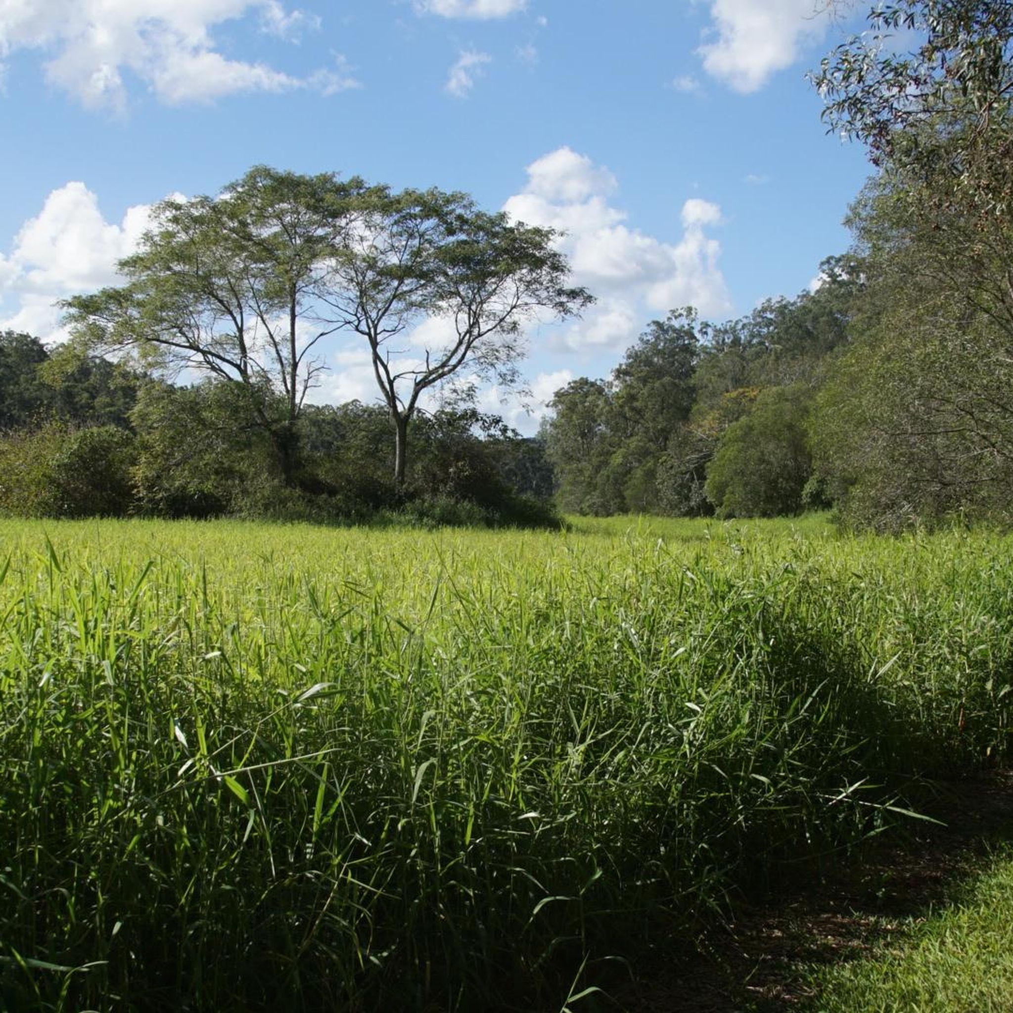
Road cycling in Enoggera Reservoir, located near Brisbane's CBD, offers a mix of paved routes through suburban areas and more challenging paths in its broader natural setting. The region features the scenic Enoggera Creek Bikeway, a generally flat, paved trail ideal for relaxed rides, winding through parks and alongside the creek. Beyond this, the area encompasses canopied forests, open eucalypt forests, and shaded gullies, providing diverse terrain for road cyclists. While some road cycling routes in Enoggera Reservoir include significant hills, many offer mostly paved surfaces suitable for various fitness levels.
Best road cycling routes in Enoggera Reservoir
- The most popular road cycling route is Mount Coot-tha Lookout – JC Slaughter Falls Picnic Area loop from Bardon, a 6.5 miles (10.5 km) trail that takes 50 minutes to complete. This moderate route features significant elevation gain, offering a challenging ride through varied landscapes.
- Another top favourite among local road cyclists is Upper Brookfield Road Park loop from Brookfield, an easy 11.8 miles (19.0 km) path. This route provides a more relaxed experience, winding through the Upper Brookfield area.
- Local road cyclists also love the Latin Shack Cafe loop from Keperra, a 21.6 miles (34.7 km) trail leading through suburban and natural landscapes, often completed in about 1 hour 42 minutes.
- Road cycling in Enoggera Reservoir is defined by canopied forests, open eucalypt forests, and shaded gullies. The network offers options for different ability levels, from easy, flat bikeways to moderate routes with substantial climbs.
- The routes in Enoggera Reservoir are highly rated by the komoot community with an average score of 4.6 stars from over 70 reviews. More than 4000 road cyclists have used komoot to explore Enoggera Reservoir's varied terrain.
Last updated: July 4, 2026
5.0
(2)
56
riders
11.6km
00:52
260m
260m
Moderate road ride. Great for any fitness level. Some segments of this route may be unpaved and difficult to ride.
85
riders
31.2km
01:37
310m
310m
Moderate road ride. Good fitness required. Some segments of this route may be unpaved and difficult to ride.

Sign up for free
5.0
(2)
25
riders
34.7km
01:42
290m
290m
Moderate road ride. Great for any fitness level. Some segments of this route may be unpaved and difficult to ride.
28
riders
73.3km
03:35
410m
410m
Moderate road ride. Good fitness required. Mostly well-paved surfaces and easy to ride.
23
riders
26.0km
01:33
370m
370m
Moderate road ride. Good fitness required. Mostly well-paved surfaces and easy to ride.
Get access to more routes and recommendations from other explorers.
Sign up for free
Already have an account?
Our route recommendations are based on thousands of hikes, rides, and runs completed by other people on komoot.
Start today with a free account
Your next adventure awaits.
Login or Signup

Tips from the Community

An old gold mine camp sits next to the picnic area, and you can walk around and check out the ruins and signs containing the storied history of ore extraction in these hills.
0
0

The Gayundah was one of Queensland’s first naval vessels, built in England and commissioned in 1884 for the Queensland Maritime Defence Force. It later became HMAS Gayundah after Federation, served into the First World War period, and was eventually sold for civilian use before being beached below the Woody Point cliffs in 1958 as a breakwater. Today, the rusting remains are a distinctive foreshore landmark and a reminder of Queensland’s short-lived colonial navy.
0
0
The Moreton Bay Cycleway is the easy, scenic link between Woody Point and Redcliffe Jetty, following the foreshore with sealed shared paths and constant views across the bay. This stretch is ideal on foot as well as by bike, with beaches, parks, picnic areas, toilets, and plenty of places to stop along the way. It can get busy with walkers, cyclists, runners, and families, so keep left and watch for passing bikes, especially near the busier waterfront sections.
0
0
This sculpture references one of Australia’s most recognisable native birds, known for its loud territorial call that resembles human laughter. Set among the surrounding bushland, the artwork ties into the birdlife commonly found around Mount Coot-tha and wider Brisbane. The kookaburra has long been associated with the Australian bush, and large-scale kookaburra sculptures have become a recurring feature in Australian public art and roadside culture.
0
0
Located on the Redcliffe Peninsula in Woody Point, this beach sits along a sheltered stretch of Moreton Bay, with calm, shallow water and wide tidal flats exposed at low tide. The foreshore includes picnic areas, trees, and a jetty, with the shared path running directly alongside the water. Conditions are generally quiet compared to busier nearby beaches, though surfaces can be muddy near the shoreline at low tide.
0
0
The Houghton Highway Bridge connects Brisbane to the Redcliffe Peninsula. A dedicated shared path runs alongside the bridge, used by both cyclists and pedestrians, with continuous views across Moreton Bay. The crossing is exposed, with little shelter from wind or sun, and conditions can feel noticeably different compared to the sheltered sections along the foreshore.
0
0

Mt Coot-tha Reserve is a large natural area on the western edge of Brisbane known for its bushland, scenic lookouts, and popular attractions, including the Brisbane Botanic Gardens and summit precinct. There is an extensive network of walking and cycling tracks in the reserve that wind through dry eucalypt forest and pockets of subtropical vegetation, connecting key areas across the mountain. With shaded bushland, abundant wildlife, and occasional views of the city, it offers plenty of options for outdoor recreation to immerse yourself in nature.
0
0
The Silky Oaks carpark and picnic area in Mount Coot-tha Reserve is a spacious, open grassy area set among tall trees along Sir Samuel Griffith Drive. Sheltered picnic tables sit near the forest edge, with nearby trail access connecting directly to the Powerful Owl Trail and surrounding tracks. Its easy access and quieter setting make it a convenient place to start a walk or take a break.
0
0
Frequently Asked Questions
How many road cycling routes are available in the Enoggera Reservoir area?
The Enoggera Reservoir area offers a wide variety of road cycling routes, with over 60 different tours available on komoot. These range from easy, flat rides to more challenging routes with significant elevation gains.
What kind of terrain can I expect when road cycling around Enoggera Reservoir?
Road cycling in the Enoggera Reservoir area features diverse terrain. You'll find routes traversing through open eucalypt forests, dense hoop pine forests, and shaded gullies. While many routes are paved, some sections, especially those venturing deeper into D'Aguilar National Park, can be quite demanding with steep hills and potentially unpaved surfaces, so be prepared for varied conditions.
Are there any easy, family-friendly road cycling options near Enoggera Reservoir?
Yes, the Enoggera Creek Bikeway is an excellent option for easy, family-friendly road cycling. This generally flat, paved path winds through parks and alongside the creek, offering a relaxed experience. For a slightly longer, easy route, consider the Upper Brookfield Road Park loop from Brookfield, which is 19 km long.
What are some challenging road cycling routes in the Enoggera Reservoir area?
For a moderate challenge with significant elevation gain, the JC Slaughter Falls Picnic Area – View of Brisbane Skyline loop from Ashgrove offers a rewarding ride. Routes that venture deeper into D'Aguilar National Park or include sections of South Boundary Road are known for steep hills and can be quite demanding.
What natural features or landmarks can I see while cycling near Enoggera Reservoir?
The Enoggera Reservoir itself is a central and picturesque feature, offering serene water views. You'll cycle through beautiful eucalypt and hoop pine forests, and past tranquil rocky creek areas and wetlands. The Mount Coot-tha Lookout – JC Slaughter Falls Picnic Area loop from Bardon offers scenic views, including the Mount Coot-tha Lookout.
Is there parking available for cyclists near Enoggera Reservoir?
Yes, parking is available for cyclists. The Walkabout Creek Discovery Centre, located adjacent to the reservoir, provides convenient parking facilities, making it a good starting point for many rides.
What is the best time of year for road cycling in the Enoggera Reservoir region?
The Enoggera Reservoir area generally offers good cycling conditions year-round. However, the cooler, drier months (typically autumn and spring) are often preferred to avoid the peak heat and humidity of summer, providing a more comfortable riding experience.
What do other road cyclists enjoy most about the Enoggera Reservoir area?
The Enoggera Reservoir area is highly rated by the komoot community, with an average score of 4.6 stars from over 70 reviews. Cyclists frequently praise the diverse landscapes, from canopied forests to scenic reservoir views, and the variety of routes catering to different fitness levels.
Are there any cafes or places to refuel near the road cycling routes?
While specific cafes directly on every route aren't detailed, the Latin Shack Cafe loop from Keperra suggests that there are establishments within reach. The Walkabout Creek Discovery Centre, located at the reservoir, also offers amenities where you can find refreshments.
Can I access the Walkabout Creek Discovery Centre by bike?
Yes, the Walkabout Creek Discovery Centre is easily accessible by bike and serves as a great hub for exploring the area. It's located adjacent to the reservoir and offers facilities, including parking, making it a convenient starting or ending point for your ride.
Are there any long-distance road cycling routes in the Enoggera Reservoir area?
For those looking for a longer ride, the Hornibrook Bridge – Jetty Square loop from Ferny Grove is a moderate 68.6 km route that takes you through varied landscapes, offering a substantial cycling adventure.
Most popular routes in Enoggera Reservoir

Get inspired with the komoot mobile app


Explore more
Browse the best Road cycling routes in other regions.
