The best running trails in Enoggera Reservoir
4.5
(8)
570
runners
11
runs
Jogging in Enoggera Reservoir offers an accessible escape into nature within D'Aguilar National Park, approximately 12 kilometers north of Brisbane's central business district. The area is characterized by expansive open eucalypt forests, serene shaded gullies, and the picturesque reservoir itself, which is Queensland's oldest major dam. Running routes often follow the water's edge, traverse dense hoop pine forests, and include sections with hills and single tracks, providing varied terrain for runners.
Best jogging routes in Enoggera Reservoir
- The most popular jogging route is Enoggera Reservoir – Araucaria Track loop from The Gap, a 3.0 miles (4.9 km) easy trail that takes about 34 minutes to complete. This route forms a loop around the reservoir, guiding runners along the water's edge and through a dense hoop pine forest.
- Another top favourite among local runners is Enoggera Reservoir – Enoggera Reservoir loop from The Gap, a moderate 6.6 miles (10.6 km) path. This trail offers a challenging terrain with hills and single tracks, all while providing scenic vistas of the reservoir.
- Local runners also love the Enoggera Reservoir loop from The Gap, a 7.5 miles (12.1 km) trail leading through varied landscapes, often completed in about 1 hour 27 minutes.
- Jogging in Enoggera Reservoir is defined by open eucalypt forests, shaded gullies, and stunning water views from the dam. The network offers options for various ability levels, from easy loops to more challenging trails with significant elevation gain.
- The routes in Enoggera Reservoir are highly rated by the komoot community with an average score of 4.1 stars from over 11 reviews. More than 900 runners have used komoot to explore Enoggera Reservoir's varied terrain.
Last updated: July 4, 2026
24
runners
12.1km
01:27
240m
240m
Moderate run. Good fitness required. Mostly paved surfaces. Suitable for all skill levels.
19
runners
12.6km
01:32
300m
300m
Hard run. Very good fitness required. Mostly paved surfaces. Suitable for all skill levels.

Sign up for free
15
runners
27.7km
03:18
630m
630m
Hard run. Very good fitness required. Sure-footedness, sturdy shoes and alpine experience required.
14
runners
43.4km
05:32
1,430m
1,430m
Hard run. Very good fitness required. Sure-footedness, sturdy shoes and alpine experience required.
13
runners
7.22km
00:50
120m
120m
Moderate run. Good fitness required. Mostly paved surfaces. Suitable for all skill levels.
Get access to more routes and recommendations from other explorers.
Sign up for free
Already have an account?
Our route recommendations are based on thousands of hikes, rides, and runs completed by other people on komoot.
Start today with a free account
Your next adventure awaits.
Login or Signup

Tips from the Community

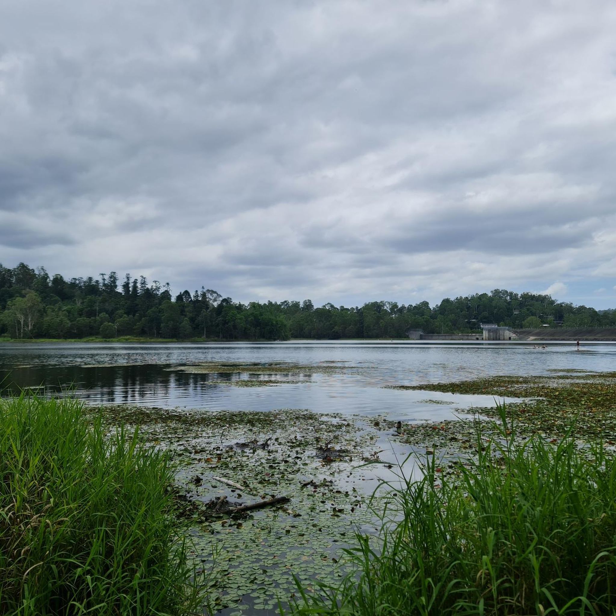
This sandy swimming area at Enoggera Reservoir is a rare inland “beach” experience in Brisbane. A roped enclosure marks the designated swim zone, creating a safer space for cooling off while keeping paddlers and wildlife separate. The beach is open seven days a week, from 5.30 am to 6.30 pm between September and April, and from 6.00 am to 5.30 pm between May and August.
0
0
Enoggera Reservoir sits within D’Aguilar National Park on Brisbane’s north-western edge, offering a mix of bushwalking, mountain biking and non-motorised water activities. The reservoir is popular for kayaking, stand-up paddleboarding and designated swimming areas. Surrounding tracks wind through open eucalypt forest and shaded gullies. Carry water, and stay on marked tracks to protect surrounding bushland.
0
0
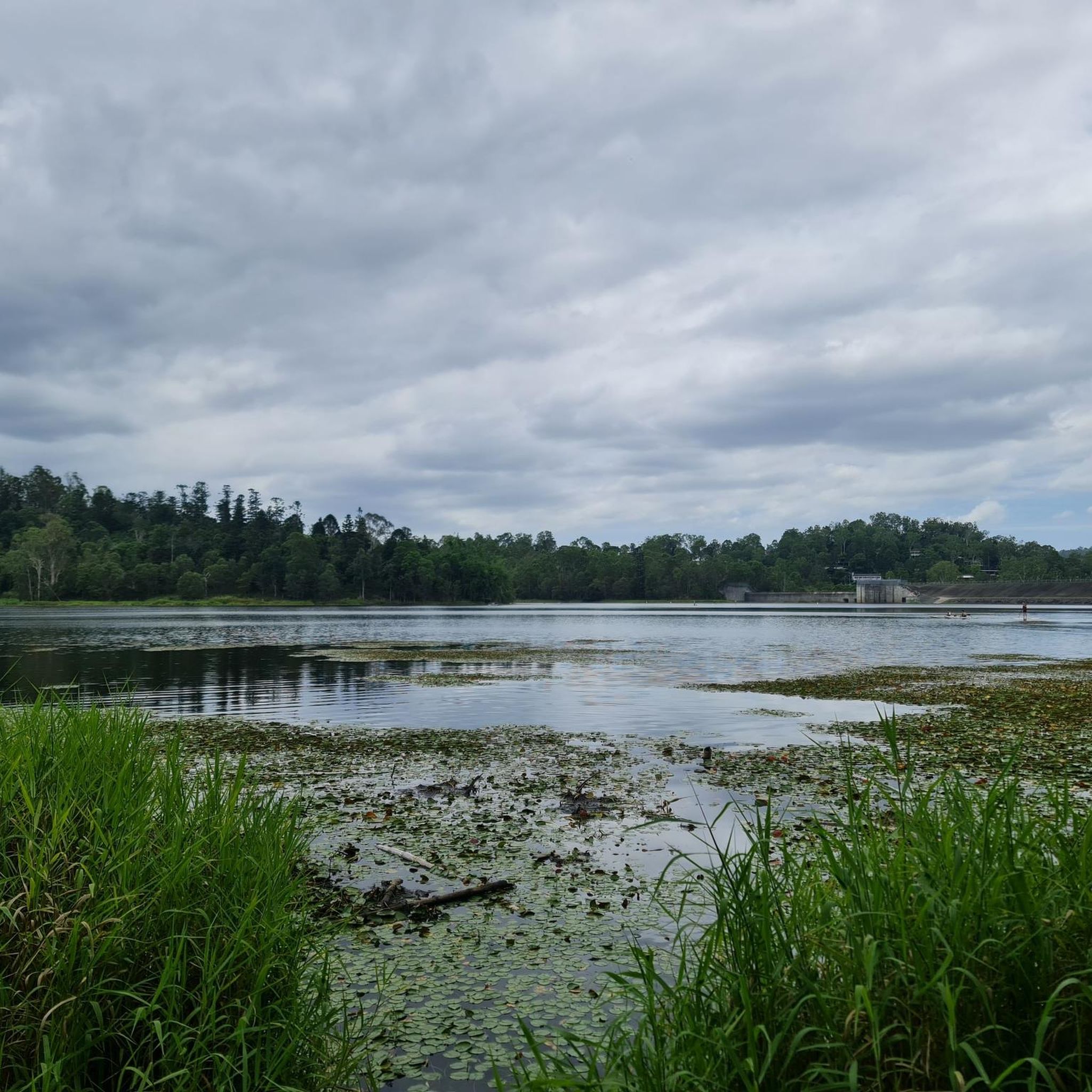
Along the reservoir circuit, a small creek feeds into Gold Creek Reservoir. In warmer months, this section is often dry, leaving a rocky channel underfoot. After rainfall, however, water can flow through the gully and you may need to hop across the shallow stream using exposed stones. The surface is uneven and can be slippery when wet, so take care when crossing, especially after sustained rain.
0
0
Gold Creek Reservoir Walking Track, offers a rewarding bushwalk in Upper Brookfield with steady hills and plenty of birdlife along the water’s edge. The circuit begins near the top of the dam wall and can be walked in either direction. Expect a mix of shaded forest and more open sections overlooking the reservoir. Some descents involve loose, dry soil and small rocks, so take care on steeper stretches. Mobile reception is patchy, so download your map before setting out.
0
0
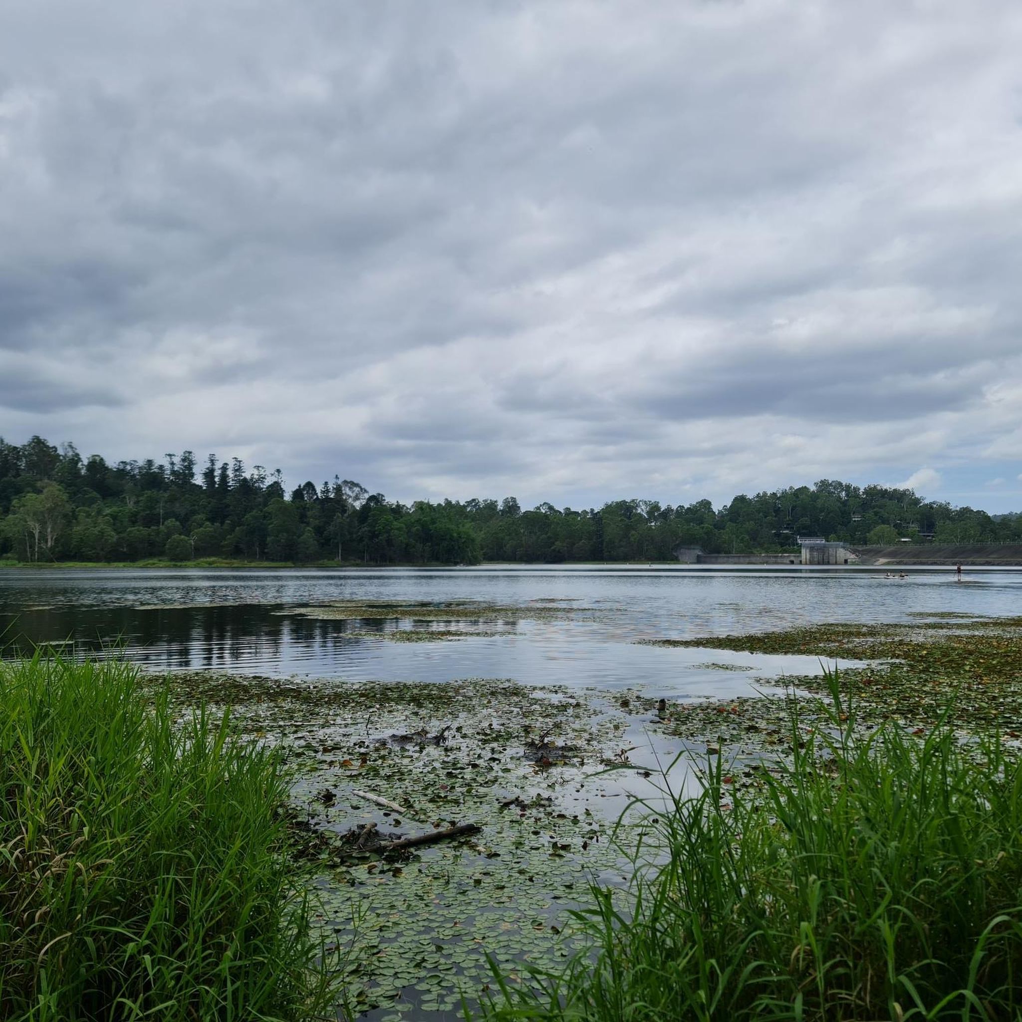
Gold Creek Reservoir, also known as Gold Creek Dam, sits on the edge of Brisbane’s western bushland and offers a quiet walking experience around a small, sheltered body of water. The reservoir was originally built to supply potable water for the region and now provides a peaceful backdrop for a loop walk of roughly five and a half kilometres through mixed wet and dry sclerophyll forest.
0
0

Enoggera Dam is a heritage-listed concrete gravity dam that was completed in 1866. It is Queensland's oldest dam and was originally a major source of drinking water for the city before it became a popular recreational hub. Today, the dam wall and the surrounding reserve are valued for their historical significance, natural beauty, and access to walking trails and water activities.
1
0
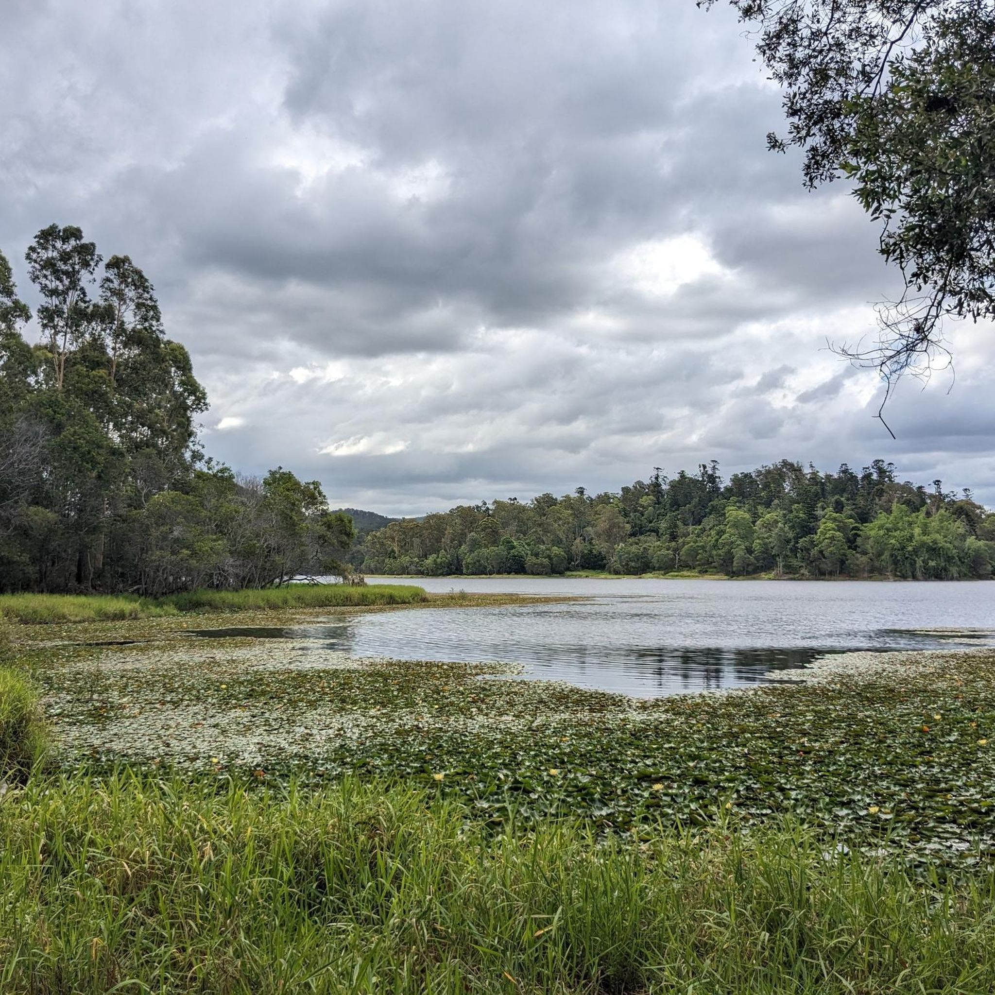
Araucaria Track is an easy-to-moderate route that follows the northern shoreline of Enoggera Reservoir that winds through open eucalypt forest with scattered hoop pines before looping a small peninsula and returning the same way. At roughly 5 km return, it typically takes about two hours and is popular for gentle hiking, birdwatching, and enjoying views of the water.
0
0

Frequently Asked Questions
How many running routes are available in Enoggera Reservoir?
Enoggera Reservoir offers a variety of running routes, with over 10 different options available for you to explore. These routes cater to various fitness levels, ranging from easy loops to more challenging trails with significant elevation gain.
What kind of terrain can I expect on the running trails?
The running trails in Enoggera Reservoir feature diverse terrain. You'll encounter expansive open eucalypt forests, serene shaded gullies, and sections that follow the water's edge. Some routes also include dense hoop pine forests, hills, and single tracks, providing a varied and engaging experience.
Are there any easy or beginner-friendly running routes?
Yes, there are easy options perfect for beginners or those looking for a relaxed jog. A popular choice is the Enoggera Reservoir – Araucaria Track loop from The Gap, an easy 3.0-mile (4.9 km) trail that guides you along the water's edge and through a hoop pine forest.
Are there longer, more challenging running options available?
Absolutely. For a more rigorous workout, consider routes like the Enoggera Reservoir – Enoggera Dam loop from The Gap, which is a difficult 17.2-mile (27.7 km) trail with substantial elevation changes. Another challenging option is the McAfees Lookout – Enoggera Reservoir loop from The Gap, a difficult 26.8-mile (43.2 km) route offering extensive terrain.
What natural features or landmarks can I see while jogging?
While jogging, you can enjoy stunning water views from Queensland's oldest major dam, explore open eucalypt forests, and shaded gullies. Keep an eye out for wildlife such as platypuses, turtles, kingfishers, various bird species, and goannas. The Enoggera Dam itself is a significant historical landmark.
Is there parking available at Enoggera Reservoir?
Yes, parking is available at Enoggera Reservoir, making it convenient for runners to access the trails. The area is designed to accommodate visitors, so you should find suitable parking spots near the main access points.
How can I get to Enoggera Reservoir using public transport?
Enoggera Reservoir is approximately 12 kilometers north of Brisbane's central business district, making it an accessible escape. While specific public transport routes can vary, local bus services typically operate in the surrounding areas, connecting to The Gap, which is a common starting point for many routes. It's advisable to check current public transport schedules for the most up-to-date information.
What is the best time of year to go running in Enoggera Reservoir?
Enoggera Reservoir is enjoyable year-round, but the cooler months (autumn and spring) often provide the most comfortable conditions for running, avoiding the peak heat of summer. Always carry water, especially on warm days, as refill stations are not available along the loops.
Are there any facilities like cafes nearby?
Yes, the Walkabout Creek Discovery Centre, located next to the reservoir, features an on-site cafe. This provides a convenient spot for refreshments before or after your run, offering a chance to relax and refuel.
What do other runners say about the trails here?
The running routes in Enoggera Reservoir are highly rated by the komoot community, with an average score of 4.1 stars from over 11 reviews. Runners often praise the varied terrain, the stunning water views, and the opportunity to immerse themselves in nature so close to the city.
Are there any loop running trails?
Yes, many of the running routes at Enoggera Reservoir are designed as loops, allowing you to start and finish at the same point. For example, the Enoggera Reservoir – Enoggera Reservoir loop from The Gap is a popular moderate 6.6-mile (10.6 km) option that offers scenic vistas.
Is there a place to swim after a run?
Yes, Enoggera Reservoir features a designated swimming area with a sandy foreshore and a roped-off enclosure. This 'inland beach' provides a safe and refreshing spot to cool down after your run, especially on warmer days.
Can I bring my dog on the jogging trails?
While the D'Aguilar National Park generally has restrictions on dogs, specific regulations for the Enoggera Reservoir area can vary. It's best to check the latest guidelines from Queensland Parks and Wildlife Service or local authorities regarding dog access on trails to ensure compliance.
Are the running routes suitable for families?
Many of the trails, particularly the easier and shorter loops like the Araucaria Track, are suitable for families. The area also offers picnic spots and the Walkabout Creek Discovery Centre, making it a great destination for a family outing that can include a gentle jog.
Most popular routes in Enoggera Reservoir

Get inspired with the komoot mobile app


Explore more
Browse the best Running Trails & Routes in other regions.
