The best gravel rides around Mazowiecki Park Krajobrazowy
4.6
(135)
1,341
riders
192
rides
Gravel biking around Mazowiecki Park Krajobrazowy offers diverse landscapes, from extensive pine forests to unique peat bogs and river valleys. The park's terrain includes varied surfaces, ranging from easier, mostly paved sections to more challenging hard gravel paths. Cyclists can navigate through woodlands, past wetlands like Bagno Całowanie, and along the Świder and Mienia rivers, with some routes featuring gentle climbs and dune formations.
Best gravel bike trails around Mazowiecki Park Krajobrazowy
- The most popular gravel bike trail is Czarny Dół Nature Reserve – Devil's Hollow Peat Lake loop from Gózd, a 52.8 miles (84.9 km) trail that takes 6 hours 35 minutes to complete. This route explores a significant nature reserve and varied forest paths.
- Another top favourite among local gravel bikers is Świder River Bridge loop from Celestynów, a moderate 29.1 miles (46.9 km) path. It follows the scenic Świder River, offering views of its protected riparian areas.
- Local gravel bikers also love the Christ at Rest Wayside Shrine – Bunkers on Dąbrowiecka Góra loop from Celestynów, a 15.4 miles (24.8 km) trail leading through forested areas and past historical points, often completed in about 1 hour 36 minutes.
- Gravel biking around Mazowiecki Park Krajobrazowy is defined by extensive forests, unique peat bogs, and river valleys. The network offers options for different ability levels, from easy loops to more challenging rides.
- The routes in Mazowiecki Park Krajobrazowy are highly rated by the komoot community with an average score of 4.6 stars from over 350 reviews. More than 3,900 gravel bikers have used komoot to explore Mazowiecki Park Krajobrazowy's varied terrain.
Last updated: July 3, 2026
5.0
(2)
12
riders
85.4km
05:19
240m
240m
Hard gravel ride. Very good fitness required. You may need to push your bike for some segments of this route.
5.0
(1)
9
riders
45.6km
02:58
120m
120m
Moderate gravel ride. Good fitness required. Mostly paved surfaces. Suitable for all skill levels.

Sign up for free
4.6
(10)
22
riders
24.7km
01:35
80m
80m
Easy gravel ride. Great for any fitness level. Mostly paved surfaces. Suitable for all skill levels.
4.6
(10)
22
riders
20.9km
01:22
70m
70m
Easy gravel ride. Great for any fitness level. Mostly paved surfaces. Suitable for all skill levels.
4.9
(7)
58
riders
Easy gravel ride. Great for any fitness level. Mostly paved surfaces. Suitable for all skill levels.
Get access to more routes and recommendations from other explorers.
Sign up for free
Already have an account?
Our route recommendations are based on thousands of hikes, rides, and runs completed by other people on komoot.
Start today with a free account
Your next adventure awaits.
Login or Signup
Tips from the Community

Railway station located in Celestynów in the municipality of Celestynów. The station is located on the Vistula railway line from Warsaw East to Dorohusk (railway line No. 7). In the area of the station, there is a historic building with a ticket office and waiting room of Koleje Mazowieckie. In the area of the station, there is also the Celestynów (Cl) signal box building.
1
0
Łowisko Całowanie is a popular fish pond complex located directly on the edge of the Całowanie Marsh (Mazovian Landscape Park), about 40 km southeast of the center of Warsaw. It is an excellent place for both anglers and those seeking an escape into nature.
1
0
As we read on the information board, the shrine was erected in 2004 on the initiative of the residents of Karczew, and the wooden figure was consecrated on November 17, 2004. For over twenty years, the sculpture has welcomed walkers, cyclists, and all forest lovers, becoming a place for reflection, quiet prayer, and contemplation. This representation holds a special place in Polish tradition. Christ the Sorrowful was one of the most frequently recurring motifs in roadside shrines. It is in such simple, forest and field nooks that one can most strongly see how spirituality, folk art, and landscape have intertwined over the centuries into a single narrative. The author of the sculpture is Stefan Lisowski (1928–2010) - an artist and sculptor, also associated with Mazovia. According to the board, he was the initiator of the "Roadside Shrine" series of works and wanted to restore the motif of the wooden shrine to the Mazovian landscape. The Karczew figure is one such work - made from a single piece of wood. This is one of those places that one can pass by without knowing its history. Yet, it holds local memory, beautiful tradition, and the trace of a person who wanted to leave something lasting behind.
1
0
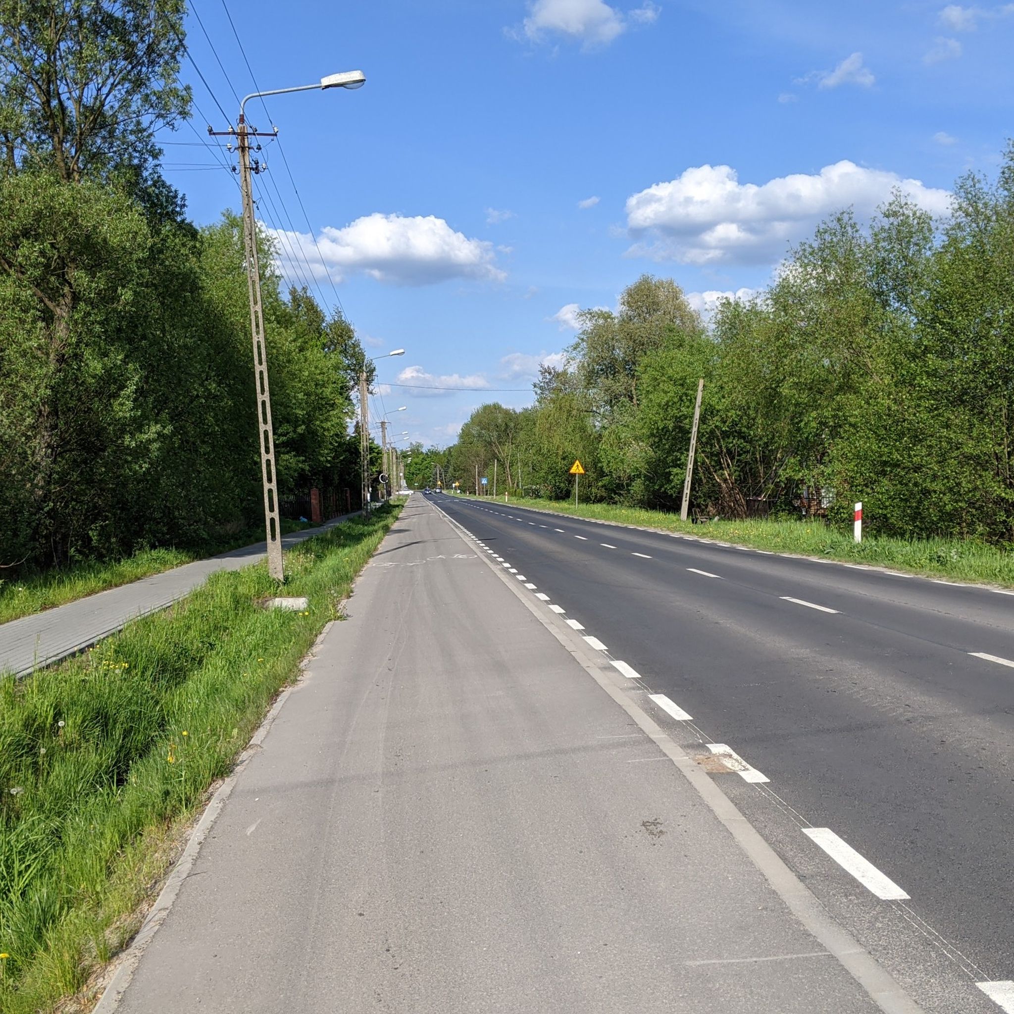
Otherworldly red gravel road, ideal for gravel
1
0
The bunkers in Dąbrowiecka Górka are among the best-preserved military objects from World War I and II in the Masovian Landscape Park. Additionally, they belong to the fortifications trail of the Warsaw Bridgehead 1915-1944.
1
0
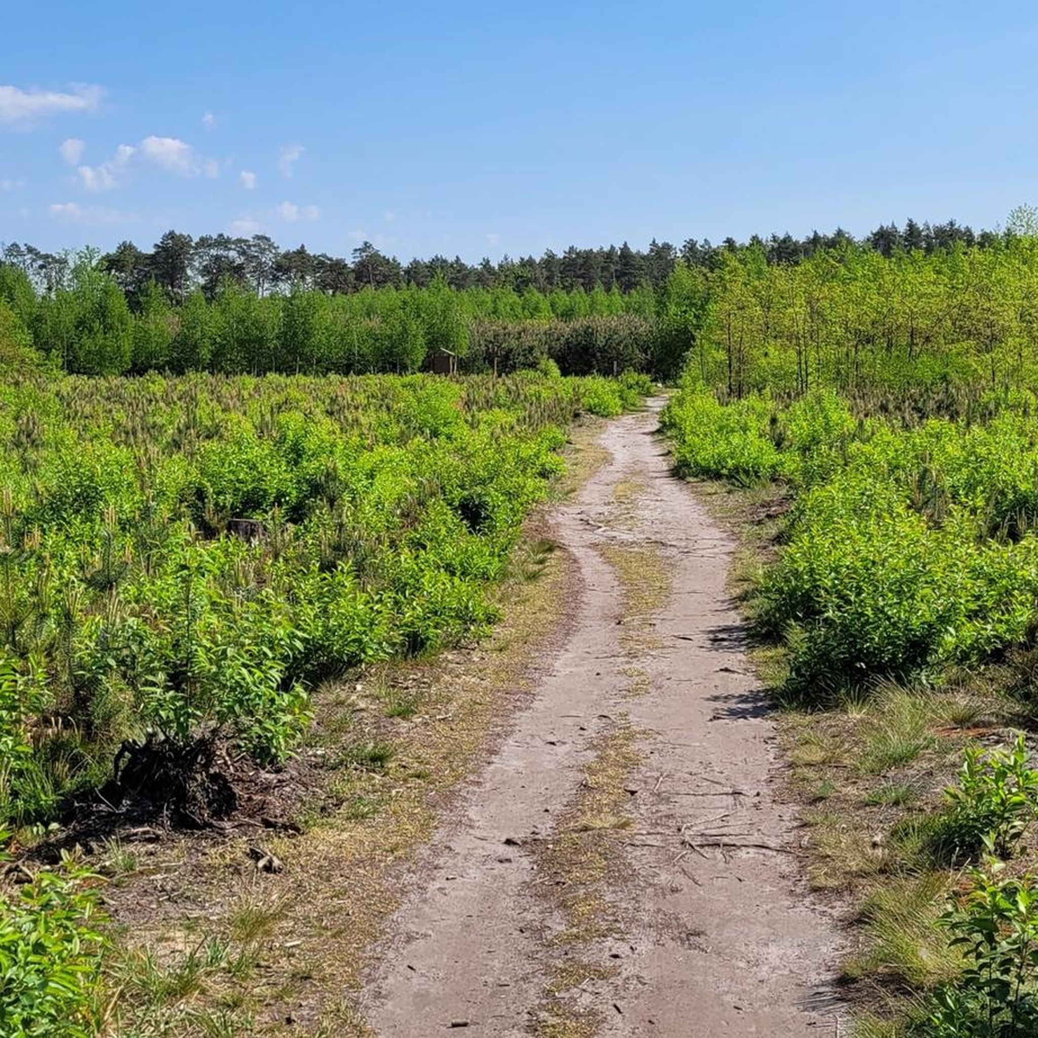
This route is ideal for a trekking bike, MTB or gravel bike
1
0
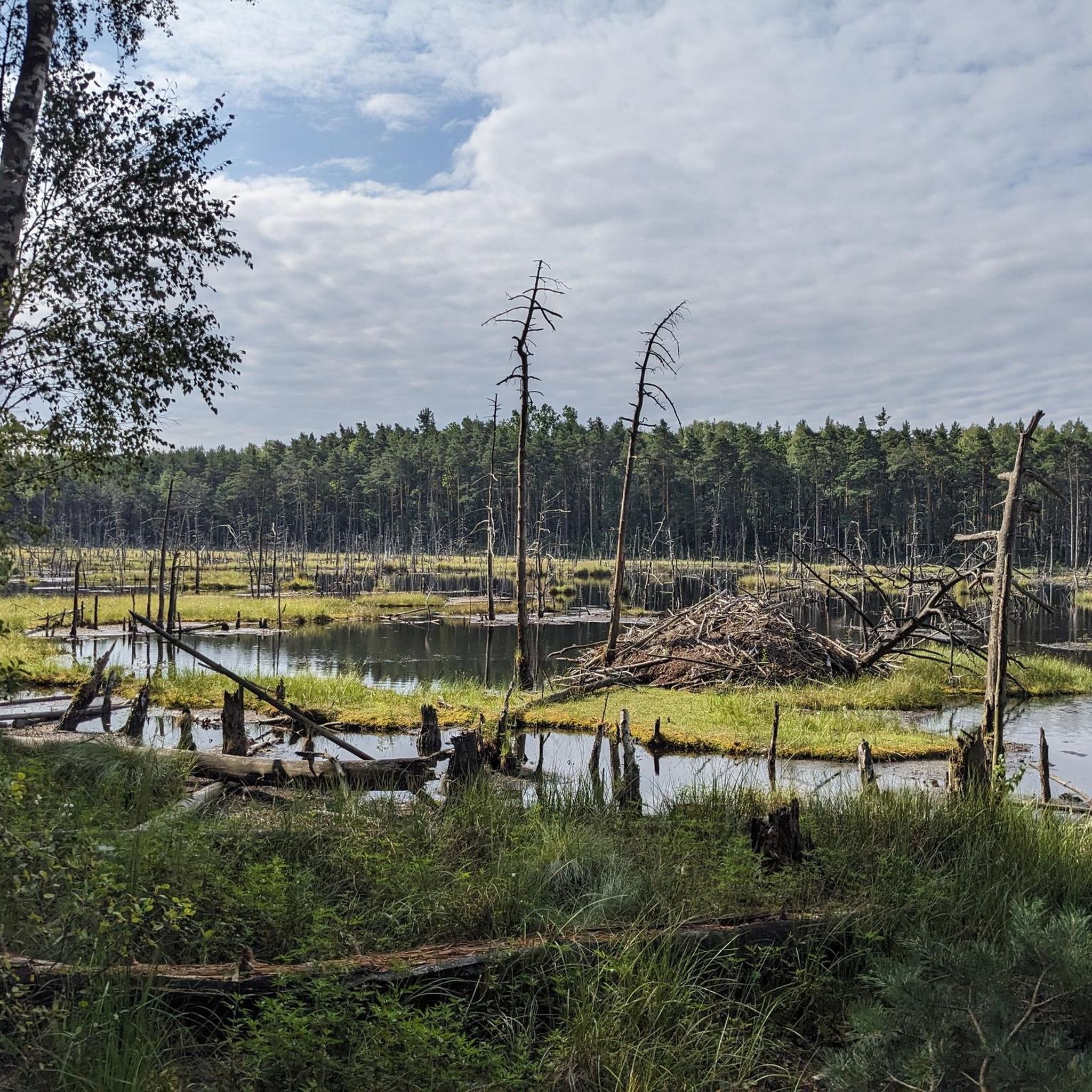
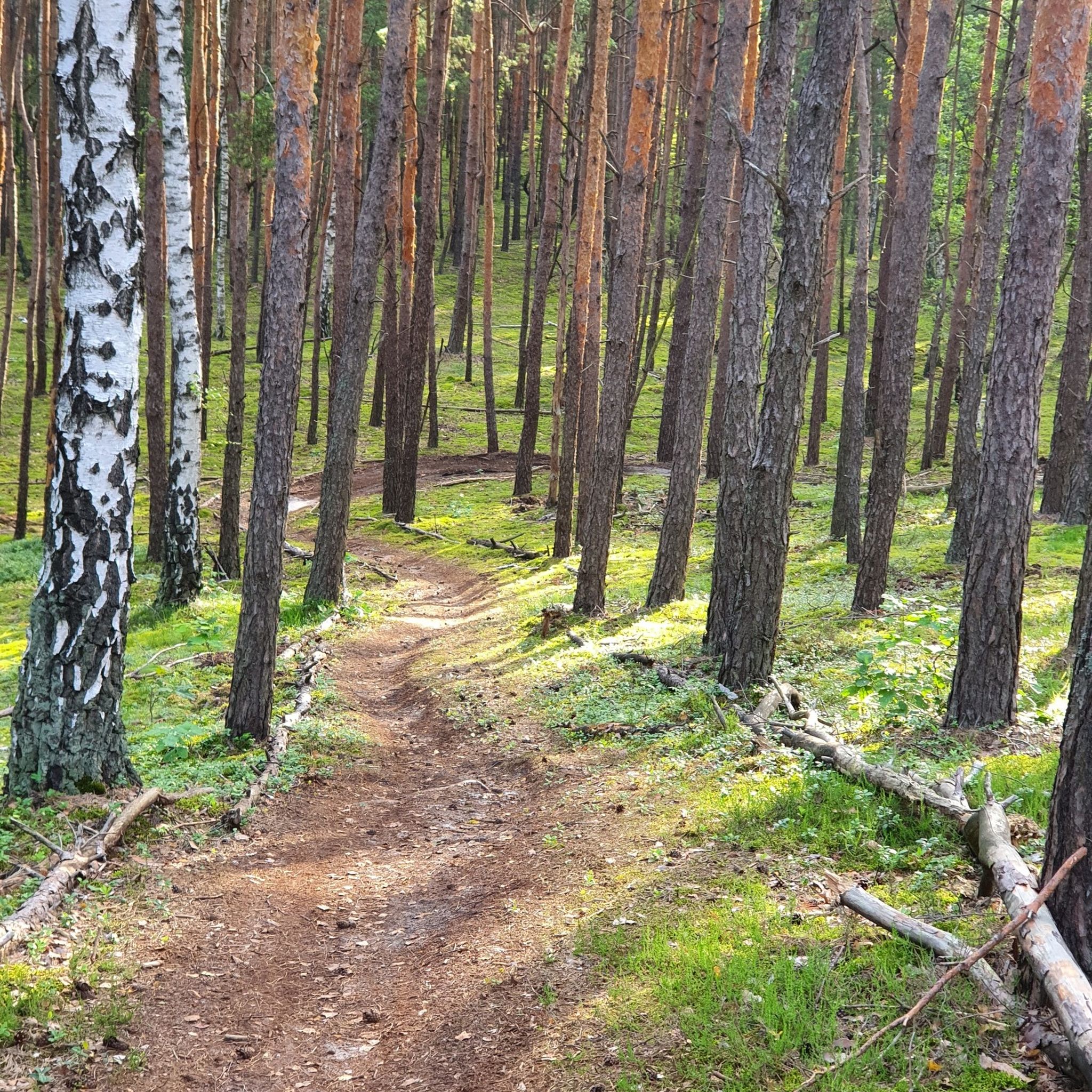
The park's landscape is formed by pine-covered dune chains and the marshy depressions separating them, often filled with peat.
1
0
The best-known and best-camouflaged object of this type in the Mazovian Landscape Park are the bunkers on Dąbrowiecka Góra (also called Biała Góra), which are remnants of German fortifications from 1944 (the so-called Warsaw Bridgehead).
1
0
Frequently Asked Questions
How many gravel bike trails are available in Mazowiecki Park Krajobrazowy?
Mazowiecki Park Krajobrazowy offers a wide selection of gravel bike trails, with over 250 routes available. These range from easy, mostly paved sections to more challenging hard gravel paths, catering to various skill levels.
What kind of terrain and landscapes can I expect on gravel bike trails in Mazowiecki Park Krajobrazowy?
The park's gravel trails feature diverse landscapes. You'll primarily ride through extensive pine forests, but also encounter unique peat bogs like Bagno Całowanie, river valleys along the Świder and Mienia rivers, and even some dune formations. Surfaces vary from smoother paths to challenging hard gravel sections.
Are there any easy or family-friendly gravel routes suitable for beginners?
Yes, the park has over 100 easy routes perfect for beginners or families. A good option is the Christ at Rest Wayside Shrine – Bunkers on Dąbrowiecka Góra loop from Celestynów, which is 15.4 miles (24.8 km) long and leads through forested areas and past historical points.
What are some of the more challenging gravel routes in Mazowiecki Park Krajobrazowy?
For those seeking a challenge, the park offers nearly 50 difficult routes. One notable option is the Czarny Dół Nature Reserve – Devil's Hollow Peat Lake loop from Gózd, a substantial 52.8 miles (84.9 km) trail exploring a significant nature reserve and varied forest paths.
What natural features or landmarks can I see while gravel biking in the park?
While cycling, you can explore various natural features and landmarks. Highlights include the expansive Bagno Całowanie (Całowanie Swamp) with its wooden boardwalks, the scenic Świder River, and unique dune formations. You might also encounter specific points of interest like Torfy Lake or the Bagno Całowanie Boardwalk Entrance.
Are there any circular gravel routes in the area?
Many of the gravel routes in Mazowiecki Park Krajobrazowy are designed as loops, offering convenient circular rides. For example, the Świder River Bridge loop from Celestynów is a popular moderate 29.1 miles (46.9 km) path that follows the scenic Świder River.
What is the best time of year for gravel biking in Mazowiecki Park Krajobrazowy?
The park is enjoyable for gravel biking throughout much of the year. Spring and autumn offer pleasant temperatures and beautiful scenery, especially with the changing foliage. Summer provides shade from the extensive forests, while winter can offer unique riding conditions, though some paths might be more challenging due to snow or ice.
What do other gravel bikers enjoy most about Mazowiecki Park Krajobrazowy?
The area is highly rated by the komoot community, with an average score of 4.6 stars from over 350 reviews. Reviewers often praise the diverse landscapes, the extensive forest cover providing shade, and the variety of trails suitable for different ability levels, from easy loops to more challenging rides through unique wetlands.
Are there any specific attractions or points of interest near the gravel trails?
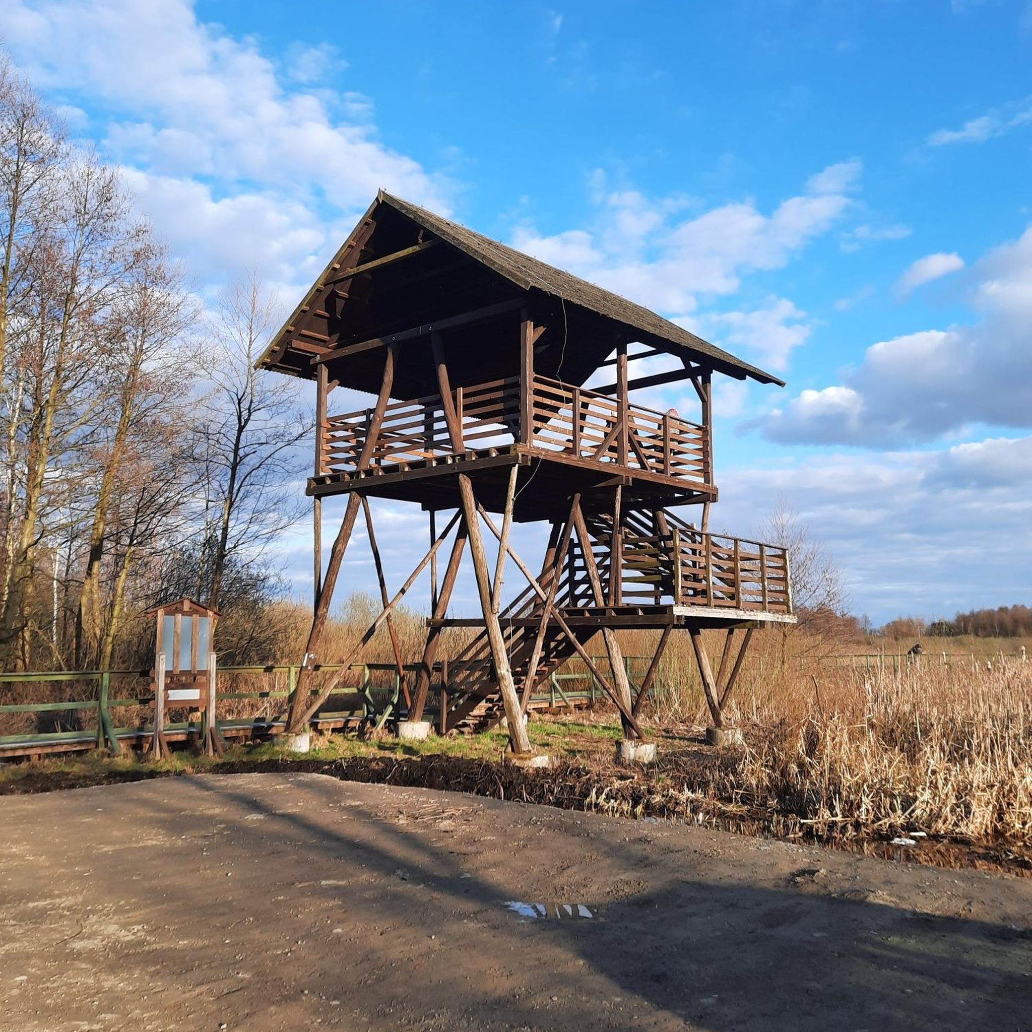
Beyond the natural beauty, you can find several attractions. The park features an observation tower for panoramic views, nine nature reserves, and educational paths like '13 Błota Stóp' around Bagno Całowanie. Historic sites, such as the characteristic 'Świdermajer' wooden architecture in Otwock, are also nearby. You could visit Liberator KG939A Memorial on Pilots' Hill or the Mazovian Bartek Oak.
How long do gravel bike trails typically take to complete in this region?
Trail durations vary significantly based on length and difficulty. Shorter, easier routes like the Christ at Rest Wayside Shrine – Beautiful red gravel loop from Otwock County (8.2 miles / 13.2 km) can be completed in about 1 hour. Longer, more challenging routes, such as the Morskie Oko Pond (Otwock) – Warsaw Wawer. Aleksandrów loop from Warszawa Międzylesie (33.5 miles / 53.9 km), might take around 4-5 hours.
Most popular routes around Mazowiecki Park Krajobrazowy
Most popular attractions around Mazowiecki Park Krajobrazowy

Get inspired with the komoot mobile app


Explore more
Browse the best Gravel rides in other regions.
