The best walks and hikes around Mazowiecki Park Krajobrazowy
4.6
(378)
8,466
hikers
114
hikes
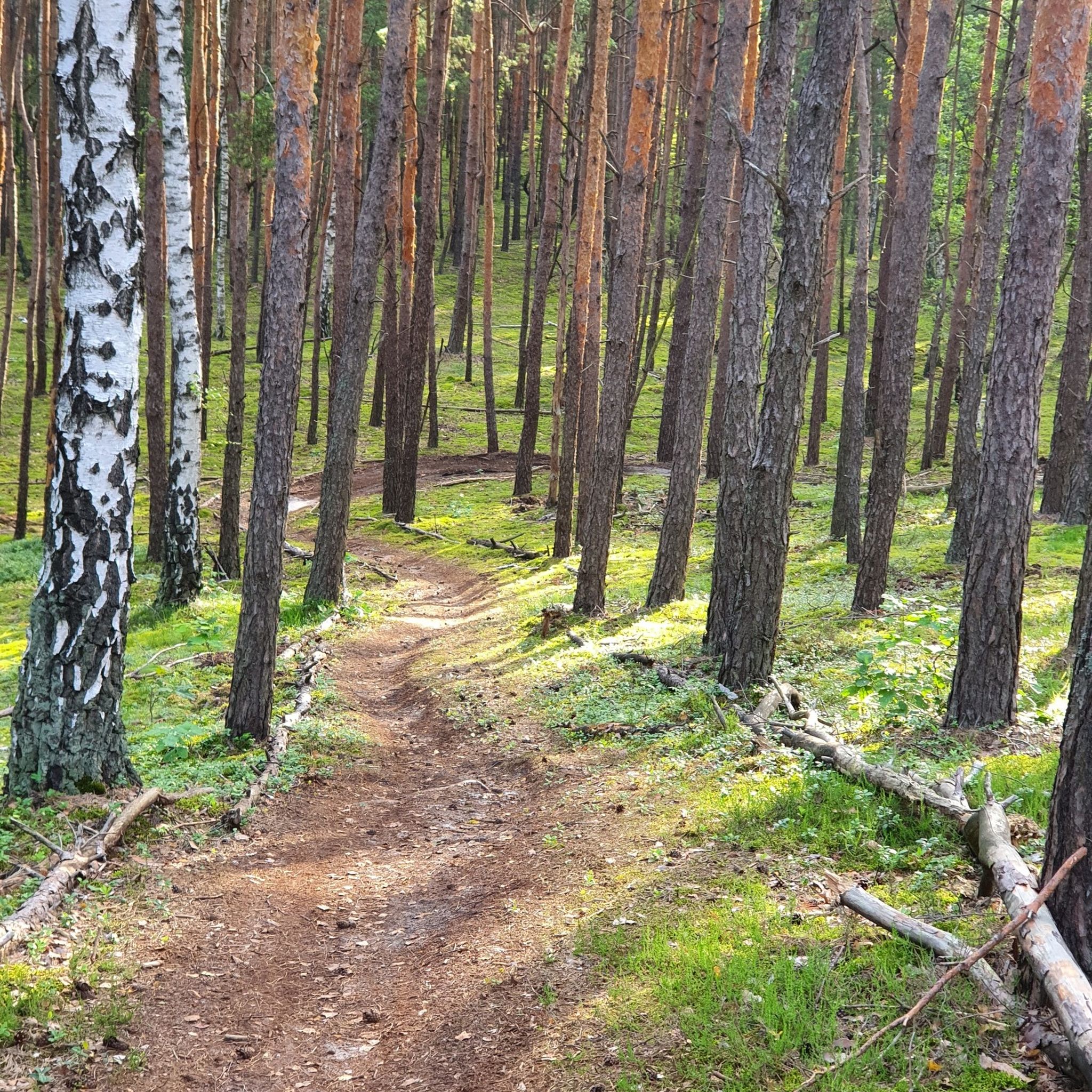
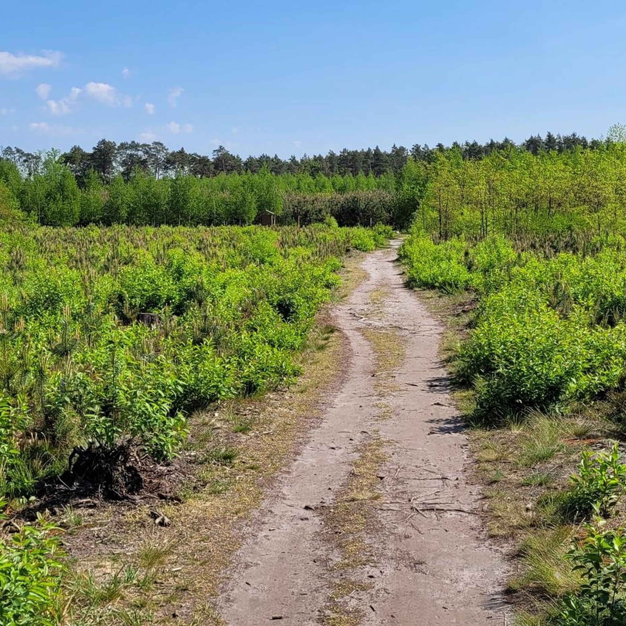
Hiking around Mazowiecki Park Krajobrazowy offers diverse natural landscapes, predominantly pine forests covering approximately 70% of the area, remnants of the ancient Osiecka Forest. The region features unique peat bogs, such as Bagno Całowanie, and inland dunes like Łysa Góra, providing varied terrain. The Świder River flows through the park, adding to the scenic environment. This area provides an extensive network of trails suitable for various outdoor activities.
Best hiking trails around Mazowiecki Park Krajobrazowy
- The most popular hiking route is Landscape Trail, a 2.8 miles (4.6 km) trail that takes 1 hour 10 minutes to complete. This easy route features gentle elevation changes through the park's natural setting.
- Another top favourite among local hikers is Sobieski Forest Running Trail, an easy 3.6 miles (5.8 km) path. This trail leads through the dense forest, offering a serene environment for walks.
- Local hikers also love the 13 Muddy Feet Trail, a 3.6 miles (5.8 km) trail leading through forested areas, often completed in about 1 hour 28 minutes.
- Hiking around Mazowiecki Park Krajobrazowy is defined by extensive pine forests, unique peat bogs, and inland dunes. The network offers options for different ability levels, from easy loops to more moderate hikes.
- The routes in Mazowiecki Park Krajobrazowy are highly rated by the komoot community with an average score of 4.7 stars from over 100 reviews. Nearly 1000 hikers have used komoot to explore Mazowiecki Park Krajobrazowy's varied terrain.
Last updated: July 7, 2026
4.6
(16)
88
hikers
4.59km
01:11
20m
20m
Easy hike. Great for any fitness level. Easily-accessible paths. Suitable for all skill levels.
4.5
(6)
42
hikers
5.85km
01:29
10m
10m
Easy hike. Great for any fitness level. Easily-accessible paths. Suitable for all skill levels.

Sign up for free
5.0
(2)
46
hikers
5.83km
01:28
10m
10m
Easy hike. Great for any fitness level. Easily-accessible paths. Suitable for all skill levels.
3.7
(3)
15
hikers
12.1km
03:05
30m
30m
Moderate hike. Good fitness required. Easily-accessible paths. Suitable for all skill levels.
4.3
(3)
13
hikers
5.18km
01:19
10m
10m
Moderate hike. Great for any fitness level. Mostly accessible paths. Sure-footedness required.
Get access to more routes and recommendations from other explorers.
Sign up for free
Already have an account?
Our route recommendations are based on thousands of hikes, rides, and runs completed by other people on komoot.
Start today with a free account
Your next adventure awaits.
Login or Signup

Tips from the Community

Goździkowe Bagno – a nature trail located near the Forest Education Center in Celestynów. You can cross the swamp via a wooden footbridge.
1
0
Jewish cemetery in Karczew-Anielin (colloquially called the cemetery in Anielin) to distinguish it from the actual cemetery in Karczew) – a cemetery founded in the 19th century. During World War II, it was devastated by the Germans, but on an area of 1.7 hectares, about 900 matzevot have been preserved. Jews permanently residing in Otwock were usually buried in the cemetery in Karczew, and those who were patients of Otwock hospitals and sanatoriums – in the cemetery in Karczew-Anielin. Among others, the writer Urke Nachalnik, shot by the Germans in October 1939, was buried in the cemetery, but the exact location of his grave is unknown. During the PRL period, many tombstones were destroyed, graves were plundered, and a high-voltage line was run through the cemetery. In recent years, the Social Committee for the Memory of Jews from Otwock and Karczew has been carrying out cleanup work on the cemetery grounds. In August 2007, heavy boulders began to be laid along the cemetery borders. This made it possible to fence off half of its area.
1
0
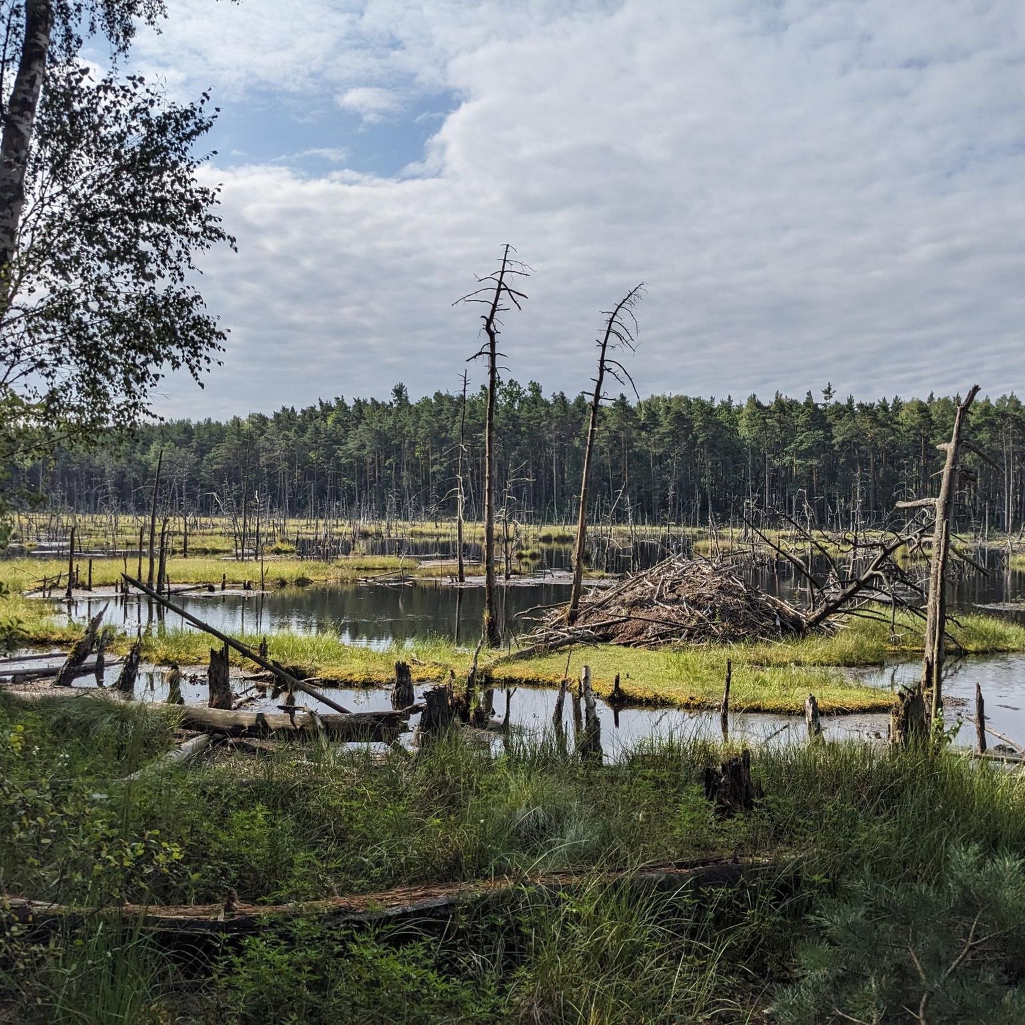
Bagno Całowanie – one of the largest lowland peatland complexes in Mazovia, with an area of 1200 ha, located within the Mazovian Landscape Park, southeast of Warsaw, in the Vistula River valley. The peatland area extends for 15 km, reaching a width of approx. 3 km
1
0
Bagno Całowanie – one of the largest low peatland complexes in Mazovia with an area of 1200 ha, located within the Mazowiecki Landscape Park, southeast of Warsaw, in the Vistula valley. The peatland area extends for 15 km, reaching a width of approx. 3 km.
1
0
Nature reserve „Bagno Bocianowskie” – a forest nature reserve, located in the Celestynów commune, northeast of Celestynów, in the area of the Masovian Landscape Park. It was established by the Regulation of the Ministry of Forestry and Wood Industry of October 12, 1982, on an area of 68.98 ha
1
0
The best-known and best-camouflaged object of this type in the Mazovian Landscape Park are the bunkers on Dąbrowiecka Góra (also called Biała Góra), which are remnants of German fortifications from 1944 (the so-called Warsaw Bridgehead).
1
0

Just to be clear, it's shown on my hike. The photo isn't mine. The location is ANIELN, not Amielin.
1
0

A beautiful place, a bit like Scotland 🏴 , a bit like Ireland 🇮🇪 .
1
0
Frequently Asked Questions
How many hiking trails are available in Mazowiecki Park Krajobrazowy?
Mazowiecki Park Krajobrazowy offers a wide network of trails, with nearly 100 hiking routes available. These range from easy strolls through the pine forests to more moderate paths exploring the diverse landscapes.
What natural features or landmarks can I expect to see while hiking?
The park is characterized by its extensive pine forests, unique peat bogs like Bagno Całowanie, and inland dunes such as Łysa Góra. You can also find picturesque sections along the Świder River. Notable points of interest include Torfy Lake and the Bagno Całowanie Boardwalk Entrance, which allows access to one of Mazovia's largest peat bogs.
Are there any easy hiking trails suitable for beginners or casual walkers?
Yes, the park has many easy trails. Approximately two-thirds of the routes are rated as easy. For example, the Sobieski Forest Running Trail is an easy 5.8 km path that takes you through dense, serene woodlands. Another accessible option is the 13 Muddy Feet Trail, also 5.8 km, offering a pleasant walk through forested areas.
What do other hikers enjoy most about Mazowiecki Park Krajobrazowy?
The area is highly rated by the komoot community, with an average score of 4.7 stars from over 100 reviews. Hikers often praise the park's peaceful pine forests, the unique experience of exploring peat bogs, and the well-maintained trails suitable for various fitness levels. Many appreciate the escape into nature close to Warsaw.
Is Mazowiecki Park Krajobrazowy suitable for families with children?
Yes, the park is very family-friendly. Many of the trails are easy and relatively flat, making them suitable for children. The diverse landscapes, including forests and boardwalks over peat bogs, offer engaging environments for young explorers. Educational centers like the Forest Education Center in Celestynów also provide learning opportunities.
Are there any circular hiking routes in the park?
Yes, there are several circular routes available. One popular option is the Łysa Góra and Dąbrowiecka Góra Loop, a moderate 12.1 km trail that allows you to experience varied terrain, including inland dunes. The park also features other loops, such as the 'Centrum Edukacji Leśnej Loop' mentioned in regional information.
Can I bring my dog on the hiking trails?
Mazowiecki Park Krajobrazowy is generally dog-friendly, allowing leashed dogs on most trails. The extensive forest paths and open spaces provide a great environment for walks with your canine companion. Always ensure your dog is under control and respect local regulations, especially in nature reserves.
What kind of wildlife can be spotted in the park?
The park is rich in biodiversity, home to approximately 260 vertebrate species. Hikers might encounter elk, deer, wild boar, foxes, and various bird species. The black stork, the park's symbol, and the corn crake are among the endangered birds found here. The peat bogs are also home to unique flora like sundews and cotton grass.
Are there options for public transport to access the hiking trails?
Given its proximity to Warsaw, Mazowiecki Park Krajobrazowy is accessible by public transport. Specific bus or train routes can take you to towns bordering the park, from where you can reach various trailheads. It's advisable to check local transport schedules for the most convenient access points depending on your chosen starting location.
What is the best time of year to go hiking in Mazowiecki Park Krajobrazowy?
The park offers a healthy microclimate, making it suitable for hiking throughout much of the year. Spring brings lush greenery and blooming flora, while autumn transforms the forests with vibrant colors. Summer is ideal for long walks, and even winter hiking can be beautiful, especially after snowfall. Each season offers a unique experience of the park's natural beauty.
Are there any specific nature reserves worth exploring within the park?
Yes, the park is home to nine nature reserves protecting its most valuable natural areas. Notable reserves include Rezerwat im. Króla Jana Sobieskiego, known for its ancient forest, and Rezerwat "Na Torfach", which features a post-peat lake. The vast Bagno Całowanie is another significant reserve, offering unique wetland ecosystems and opportunities to observe rare plants.
Most popular routes around Mazowiecki Park Krajobrazowy
Most popular attractions around Mazowiecki Park Krajobrazowy

Get inspired with the komoot mobile app


Explore more
Browse the best Hikes in other regions.
