The best running trails in Las Trampas Regional Wilderness
4.6
(14)
1,473
runners
135
runs
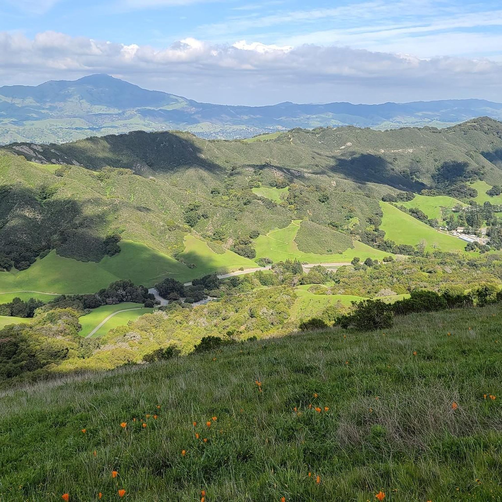
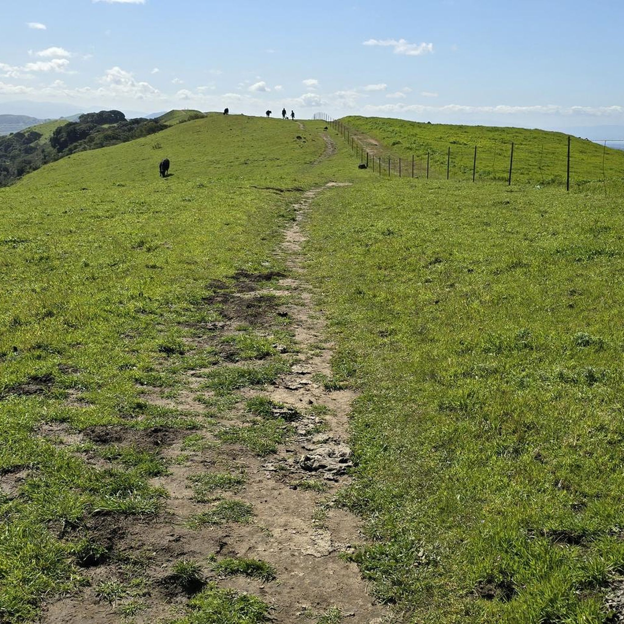
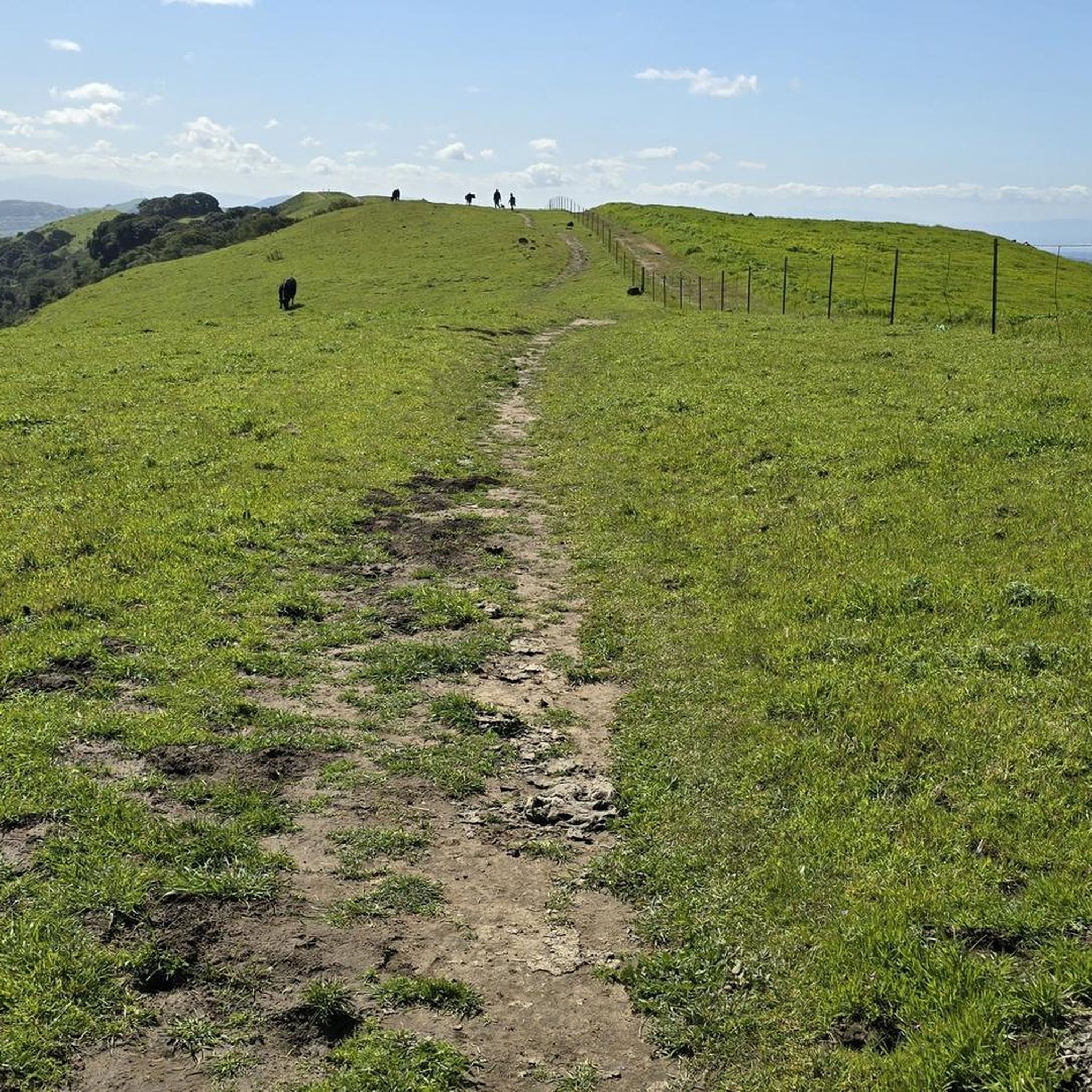
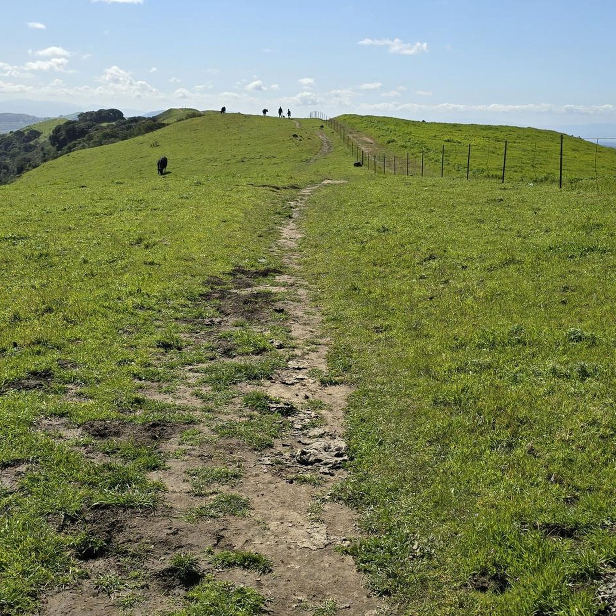
Jogging routes in Las Trampas Regional Wilderness traverse a sprawling 5,778-acre park characterized by significant elevation changes and an extensive trail network. The landscape features dramatic ridges, shady creek canyons, and diverse vegetation including oak woodlands and chaparral-studded hills. This environment provides a robust setting for trail running, with trails often featuring steep climbs and descents.
Best jogging routes in Las Trampas Regional Wilderness
- The most popular jogging route is Eagle Peak Loop via Madrone and Corduroy Hills Trail,…
Last updated: August 17, 2026
1
runners
9.80km
01:31
530m
530m
This difficult 6.1-mile jogging loop in Las Trampas Wilderness Regional Preserve offers challenging climbs and stunning views from Eagle Pea
24
runners
10.1km
01:04
30m
30m
Moderate run. Good fitness required. Mostly paved surfaces. Suitable for all skill levels.

Sign up for free
38
runners
9.27km
00:57
30m
30m
Moderate run. Good fitness required. Mostly paved surfaces. Suitable for all skill levels.
30
runners
Moderate run. Good fitness required. Mostly paved surfaces. Suitable for all skill levels.
6
runners
10.2km
01:03
40m
40m
Moderate run. Good fitness required. Mostly paved surfaces. Suitable for all skill levels.
Get access to more routes and recommendations from other explorers.
Sign up for free
Already have an account?
Our route recommendations are based on thousands of hikes, rides, and runs completed by other people on komoot.
Start today with a free account
Your next adventure awaits.
Login or Signup
Popular around Las Trampas Regional Wilderness


Other adventures in Las Trampas Regional Wilderness

Tips from the Community

The Del Amigo Swim Club, officially known as the Del Amigo Pool Association, is a member-owned, nonprofit community pool that features two pools. The pool closes every year from mid‑September to March for major renovation.
0
0
The Museum of the San Ramon Valley was established in 1985 and sits in a restored 1891 Southern Pacific Railroad Depot with the Victorian-era “Combination Station No. 22” listed on the National Register of Historic Places. The Official Visitor Information Center offers maps, guides, and knowledgeable staff, along with free parking and restrooms located in the caboose.
1
0

This rest area is a popular stop and gathering place, with plenty of benches and a few shaded spots. It features a water fountain, bike racks, and several restaurants within easy walking distance.
1
0
The Iron Horse Trail is a 32-mile multi-use path that connects Concord to Pleasanton, following the old route of the Southern Pacific Railroad; established in 1891 and abandoned in 1977. It is a great trail for recreation and commuting routes, connecting residential and commercial areas, schools, parks, and public transit.
0
0

Corduroy Hills Trail in Contra Costa County beckons with scenic vistas and winding paths. Nestled in the county's natural beauty, it provides a tranquil escape for hikers, runners and nature enthusiasts alike.
0
0

This museum collects, stores, and preserves artifacts from the San Ramon Valley while providing a permanent exhibit of the valley's past. Additionally, the museum offers local maps, guides, and a public restroom.
0
0

Eagle Peak, standing at 1430 feet, lives up to its fitting name, offering a bird's-eye view of the open meadows, San Ramon Valley, and Mount Diablo.
0
0

Perfect end-point to cool off after a run
0
0
Frequently Asked Questions
How many running routes are available in Las Trampas Regional Wilderness?
Las Trampas Regional Wilderness offers a wide selection of over 120 running routes. These include 8 easy, 77 moderate, and 36 difficult trails, ensuring options for every fitness level and preference.
What kind of terrain can I expect on the jogging trails in Las Trampas Regional Wilderness?
The terrain in Las Trampas Regional Wilderness is quite varied and often challenging. You'll encounter significant elevation changes, with trails featuring steep climbs and descents. The landscape includes shady creek canyons, chaparral-studded hills, and scenic oak woodlands. While some singletrack trails can be rugged, others offer a more pleasant experience, providing an excellent workout for trail runners.
Are there any routes suitable for beginners or those looking for an easier run?
Yes, while many trails are challenging, there are 8 easy and 77 moderate routes available. For a less strenuous option, consider the Vail Peak loop from Las Trampas Regional Wilderness, which is a moderate 3.2-mile path through varied terrain. The Iron Horse Trail – San Ramon iron horse trail loop from Danville is another moderate option, offering a relatively flat 6.3-mile run.
What are the best trails for challenging trail running in the region?
For a rigorous experience, Las Trampas Regional Wilderness is ideal, featuring 36 difficult trails. Routes like the Eagle Peak Loop via Madrone and Corduroy Hills Trail (6.1 miles) and the Corduroy Hills Trail – Eagle Peak loop from Alamo (5.7 miles) involve significant climbing and offer panoramic views, perfect for experienced trail runners.
Are there any viewpoints or natural features to see along the running routes?
Absolutely! The park is renowned for its dramatic ridges and sweeping panoramic views. From Las Trampas Ridge, you can enjoy breathtaking vistas of the San Ramon, Ignacio, and Amador valleys, as well as Mount Diablo. Rocky Ridge also provides scenic views of Bollinger Canyon. In spring, the hillsides are vibrant with wildflowers like lupine and golden poppies. You might also spot wildlife such as deer, foxes, and various bird species.
Are dogs allowed on the jogging trails in Las Trampas Regional Wilderness?
Las Trampas Regional Wilderness is generally dog-friendly, but it's always best to check specific trail regulations for leash requirements and any restricted areas before you go. Many trails allow dogs, making it a great place to run with your canine companion.
What do other runners enjoy most about jogging in Las Trampas Regional Wilderness?
The area is highly rated by the komoot community, with an average score of 4.8 stars from over 10 reviews. Runners often praise the challenging trails, the sense of solitude, and the stunning panoramic views from the ridges. The diverse terrain, from oak woodlands to chaparral hills, also contributes to a rewarding outdoor experience.
Are there any circular running routes available?
Yes, many of the running routes in Las Trampas Regional Wilderness are designed as loops, offering a varied experience without retracing your steps. Examples include the Eagle Peak Loop via Madrone and Corduroy Hills Trail and the Vail Peak loop from Las Trampas Regional Wilderness.
Where can I park when visiting Las Trampas Regional Wilderness for a run?
The Bollinger staging area is a convenient entry point for runners, offering accessible parking. It also provides restrooms and a picnic area, making it a good starting and ending point for your run.
What is the best time of year to go jogging in Las Trampas Regional Wilderness?
Spring is a particularly beautiful time to visit, as the hillsides are transformed by abundant wildflowers, including lupine and golden poppies. The weather is generally pleasant for running during spring and fall. Summers can be hot, especially on the west side of the ridges, which is characterized by hot, dry scrub, so early morning runs are recommended during warmer months.
Are there any facilities or amenities available within the park?
Yes, the Bollinger staging area provides accessible restrooms and a picnic area, which can be useful before or after your run. While there are no cafes or shops directly within the wilderness area, these basic amenities are available at a primary access point.
Most popular routes in Las Trampas Regional Wilderness
Most popular attractions in Las Trampas Regional Wilderness

Get inspired with the komoot mobile app


Explore more
Browse the best Running Trails & Routes in other regions.
