The best running trails in Matthew Henson State Park
4.7
(16)
1,804
runners
75
runs
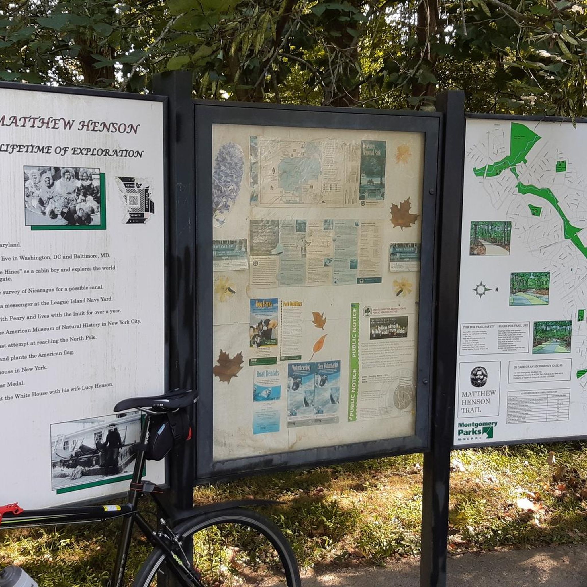
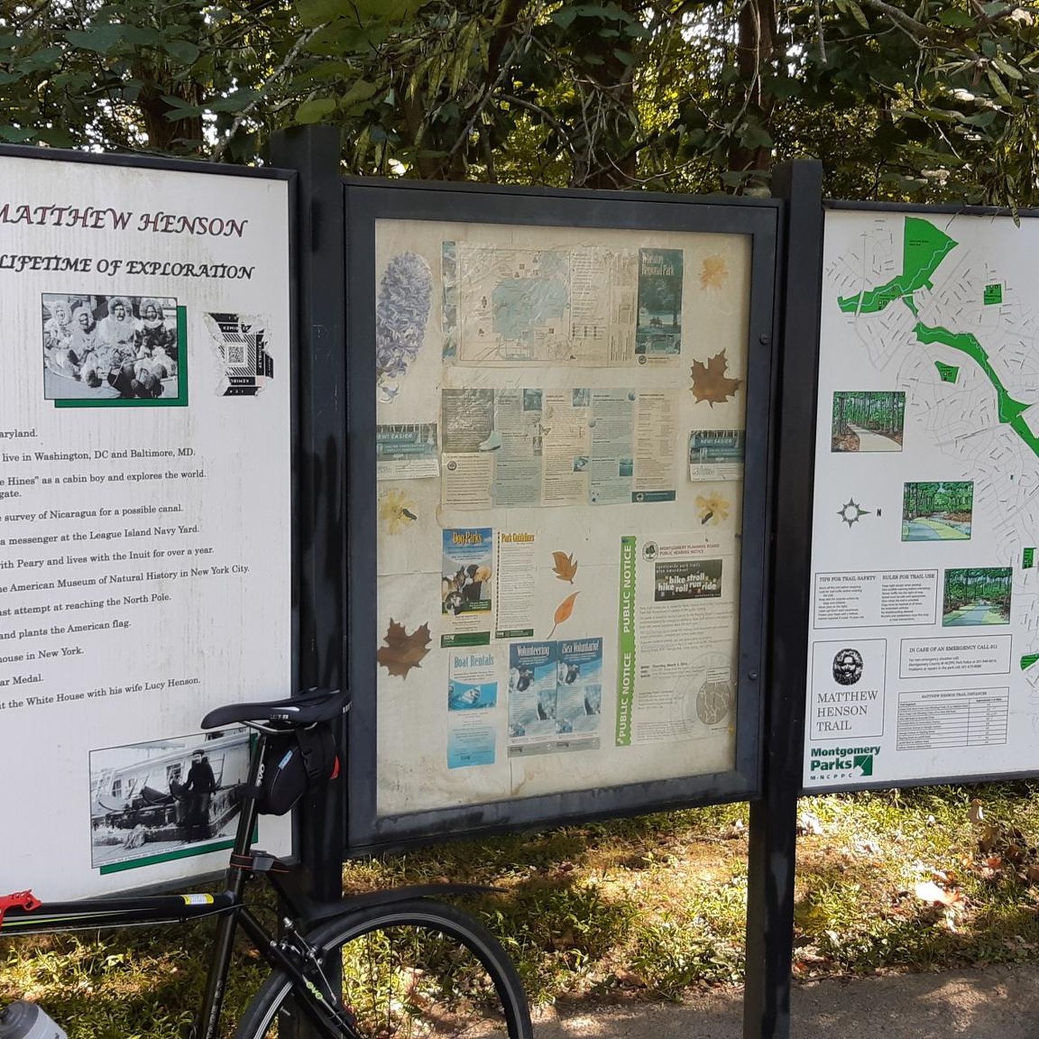
Jogging routes in Matthew Henson State Park are primarily located within a publicly owned greenway that follows Turkey Branch, a tributary of Rock Creek, in Montgomery County, Maryland. The park features a hard-surface path, approximately 4.2 to 4.5 miles long, winding through forested areas. Notable features include 0.6 miles of wooden boardwalks traversing sensitive ecosystems and charming bridges. The terrain is generally smooth, though some areas may present roughness from tree roots.
Best jogging routes in Matthew Henson State Park
- The most popular jogging route is Rock Creek Trail – Lake Needwood loop from Parklawn Local Park, a 10.2 miles (16.4 km) trail that takes 1 hour 55 minutes to complete, offering diverse natural scenery.
- Another top favourite among local runners is Park Valley Road Bridge – Carroll Avenue Bridge loop from Glenmont, a difficult 15.8 miles (25.5 km) path that winds through forested sections and open areas.
- Local runners also love the Rock The Heat 5K loop from Twinbrook, a 21.6 miles (34.8 km) trail leading through the stream valley corridor, often completed in about 3 hours 52 minutes.
- Jogging in Matthew Henson State Park is defined by its stream valley corridor, forested areas, and wooden boardwalks. The network offers options for easy, moderate, and difficult ability levels.
- The routes in Matthew Henson State Park are highly rated by the komoot community with an average score of 4.7 stars from over 19 reviews. More than 1500 runners have used komoot to explore Matthew Henson State Park's varied terrain.
Last updated: June 27, 2026
38
runners
21.6km
02:35
150m
150m
Hard run. Very good fitness required. Mostly paved surfaces. Suitable for all skill levels.
55
runners
17.2km
01:57
50m
50m
Hard run. Very good fitness required. Mostly paved surfaces. Suitable for all skill levels.

Sign up for free
4.0
(1)
40
runners
Moderate run. Good fitness required. Mostly paved surfaces. Suitable for all skill levels.
22
runners
25.5km
02:42
130m
130m
This challenging jogging route, the Park Valley Road Bridge – Carroll Avenue Bridge loop from Glenmont, offers a substantial workout for those ready to tackle 15.8 miles (25.5 km) with 425 feet (130 metres) of elevation gain. Expect a journey that could take around 2 hours and 42 minutes, likely connecting various local paths and urban green spaces. You'll likely encounter sections of the Sligo Creek Trail, passing under or near the historic Carroll Avenue Bridge, which is a distinctive landmark in the area.
For planning your visit, be aware that this is a difficult and lengthy route, so proper hydration and preparation are essential. Parking might require checking local options near the Carroll Avenue Bridge in Takoma Park or the Glenmont Greenway Urban Park, as a dedicated trailhead for this specific loop is not readily available. Starting early in the day is advisable to allow ample time to complete the full distance.
The route's name suggests it connects two significant local bridges, with the Carroll Avenue Bridge being a notable historic structure that carries Maryland Route 195 over Sligo Creek and its popular trail. While the specific combination of paths for this loop isn't widely documented, it provides an opportunity to explore a significant portion of the local trail network, including parts of the Sligo Creek Trail, which is a well-used corridor for outdoor activities in the region.
8
runners
4.97km
00:36
20m
20m
Easy run. Great for any fitness level. Mostly paved surfaces. Suitable for all skill levels.
Get access to more routes and recommendations from other explorers.
Sign up for free
Already have an account?
Our route recommendations are based on thousands of hikes, rides, and runs completed by other people on komoot.
Start today with a free account
Your next adventure awaits.
Login or Signup

Tips from the Community

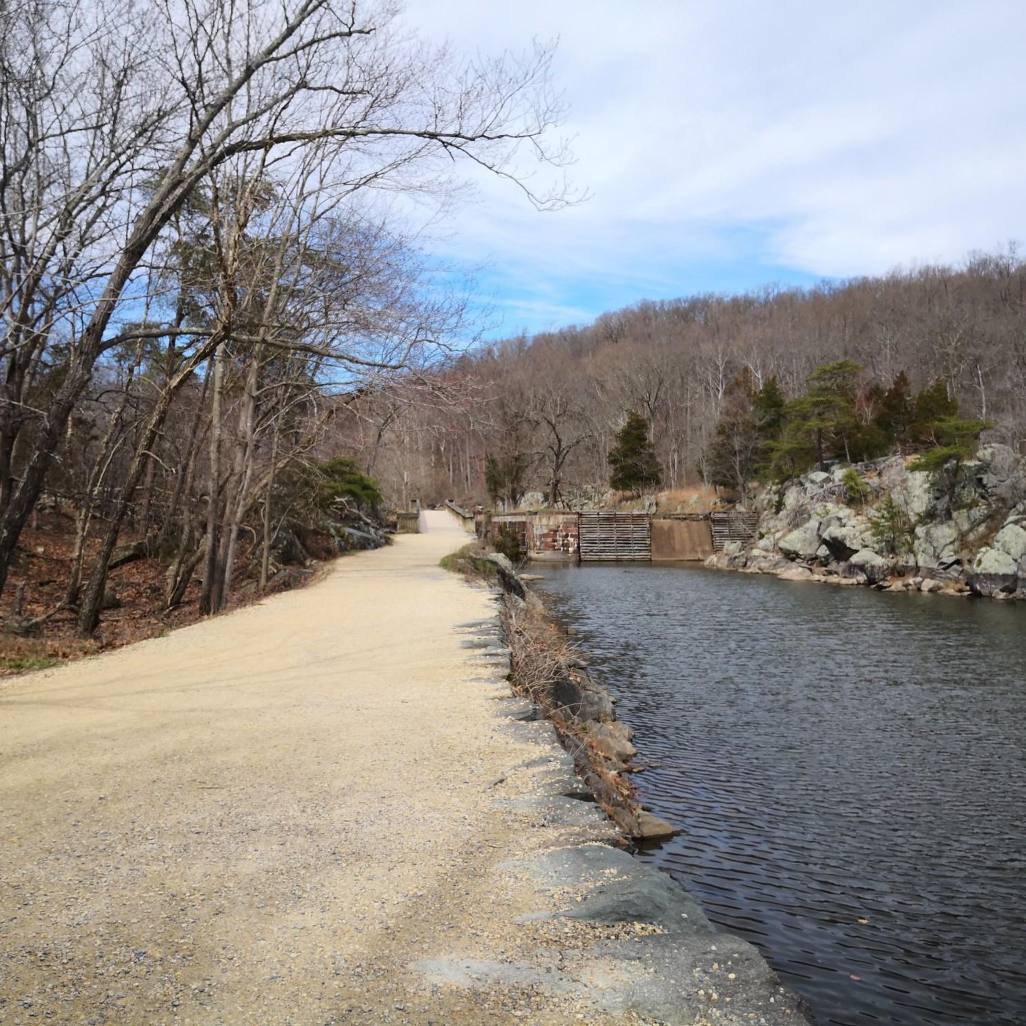
Rock Creek winds through the forest, even passing near downtown Bethesda. A paved multi-use path follows alongside, weaving through the woods and connecting several parks—a nice, shaded stretch for an easy ride.
0
0

Sligo Creek Trail is a 10.2-mile paved, multi-use path that meanders alongside Sligo Creek through Montgomery and Prince George’s counties in Maryland. Stretching from Wheaton Regional Park to the Northwest Branch Trail in Hyattsville, the trail offers a scenic and accessible route for walking, jogging, biking, and rollerblading. The trail is predominantly flat and shaded, making it suitable for users of all ages and abilities.
0
0
Sligo Creek Trail is a 10.2-mile paved, multi-use path that meanders alongside Sligo Creek through Montgomery and Prince George’s counties in Maryland. Stretching from Wheaton Regional Park to the Northwest Branch Trail in Hyattsville, the trail offers a scenic and accessible route for walking, jogging, biking, and rollerblading. The trail is predominantly flat and shaded, making it suitable for users of all ages and abilities.
1
0

The Rock Creek Trail is a 14.5-mile trail that runs from Rock Creek Regional park to Washington DC. The trail is fully paved and does not have too much elevation change, so it is not particularly challenging.
0
0

One of the few water fountains on beach drive
0
0

There's a trail following the Rock Creek. The small river runs through the middle of the forest and it's nice to cycle along through the whole year.
0
0
The only water fountain I saw on this loop. Make sure to stop and hydrate. It is located under Norbeck road.
0
0

In 2019 the Montgomery County Executive Marc Elrich cam together with the Silver Spring community members and Federal, State and local officials in November and dedicated this bridge. This bridge stays true to old building looks of many bridges made with natural resources in the area.
0
0
Frequently Asked Questions
What kind of running experience can I expect in Matthew Henson State Park?
Matthew Henson State Park offers a serene and natural environment, primarily along a publicly owned greenway following Turkey Branch. You'll find a well-maintained, hard-surface path, approximately 4.2 to 4.5 miles long, winding through forested areas. The experience is enhanced by 0.6 miles of wooden boardwalks traversing sensitive ecosystems and charming bridges, providing a refreshing escape into nature.
How many running routes are available in Matthew Henson State Park?
There are over 60 running routes available in Matthew Henson State Park, catering to various skill levels. The komoot community has rated these routes highly, with an average score of 4.7 stars.
What are the typical terrain and difficulty levels of the trails?
The main Matthew Henson Trail features a hard-surface path that is generally smooth and well-maintained. While mostly flat, some areas may present roughness from tree roots. The routes in the park offer a mix of easy, moderate, and difficult ability levels, with the majority (over 40) being moderate, and a good selection of difficult options for experienced runners.
Are there any loop routes for jogging in Matthew Henson State Park?
Yes, several loop routes are available. For instance, the Running loop from North Bethesda is a moderate 3.3-mile option. Other longer loops include the Rock Creek Trail – Lake Needwood loop from Parklawn Local Park, which is 10.2 miles.
What natural features or landmarks can I see while jogging in the park?
As you jog through Matthew Henson State Park, you'll be surrounded by thousands of trees and shrubs in forested areas. A significant feature is the 0.6 miles of wooden boardwalks that allow you to traverse delicate ecosystems. You'll also encounter charming bridges and have the opportunity to spot a variety of wildlife, enhancing the natural appeal of your run.
Is Matthew Henson State Park suitable for family-friendly runs or jogging with a stroller?
The Matthew Henson Trail, with its 8-foot-wide, hard-surface path, is generally well-maintained and suitable for families. The smooth surface in most areas makes it stroller-friendly, allowing for enjoyable outings with children. The tranquil setting and diverse scenery provide a pleasant environment for all ages.
Are dogs allowed on the jogging trails in Matthew Henson State Park?
Matthew Henson State Park is generally dog-friendly, allowing leashed dogs on its trails. It's a great place to enjoy a run with your canine companion, provided you follow park rules regarding leashing and waste disposal.
How can I access Matthew Henson State Park using public transport?
The park is accessible, and some trailheads can be reached via public transportation. While specific bus stops or metro stations directly at trailheads vary, the park's location in Montgomery County, Maryland, means it's served by local transit options. It's advisable to check local bus schedules and routes for the most convenient access points.
Are there parking facilities available for runners at Matthew Henson State Park?
Yes, parking facilities are available at various access points along the Matthew Henson Trail. These designated parking areas provide convenient starting points for your run. It's recommended to check specific trailhead locations for the nearest parking options.
What do other runners enjoy most about jogging in Matthew Henson State Park?
The area is highly rated by the komoot community, with an average score of 4.7 stars from over 19 reviews. Runners often praise the park's tranquil setting, the well-maintained hard-surface trail, and the refreshing experience of running through forested areas and over wooden boardwalks. The connection to other routes like the Rock Creek Hiker-Biker Trail is also appreciated for extending runs.
What is the longest running route available in Matthew Henson State Park?
One of the longest running routes is the Rock The Heat 5K loop from Twinbrook, which spans 21.6 miles (34.8 km) and typically takes around 3 hours 52 minutes to complete. This challenging route leads through the stream valley corridor.
Are there any safety features along the trails in Matthew Henson State Park?
Yes, for visitor safety, solar-powered emergency cellular phones are placed at intervals along the Matthew Henson Trail. This provides an added layer of security for runners and other park users.
Can I connect to other trails from Matthew Henson State Park?
Absolutely. The Matthew Henson Trail is designed to connect with other routes, including the Rock Creek Hiker-Biker Trail. This offers extended possibilities for longer runs or rides, allowing you to explore a wider network of trails in the region.
Most popular routes in Matthew Henson State Park

Get inspired with the komoot mobile app


Explore more
Browse the best Running Trails & Routes in other regions.
