The best road cycling routes in Day Pond State Park
5.0
(1)
23
riders
11
rides
Road cycling routes in Day Pond State Park are primarily found on the nearby Air Line State Park Trail, which offers extensive linear paths through eastern Connecticut. While Day Pond State Park itself is known for mountain biking and hiking, the adjacent Air Line State Park Trail provides opportunities for road cyclists. This trail features varied surface conditions, including sections of crushed stone, gravel, and paved segments, passing through forests and wetlands. The region's landscape includes evidence of glacial activity…
Last updated: October 1, 2026
5
riders
41.3km
01:56
500m
500m
Moderate road ride. Good fitness required. Mostly well-paved surfaces and easy to ride.
3
riders
47.1km
02:21
610m
610m
Moderate road ride. Good fitness required. Mostly well-paved surfaces and easy to ride.

3
riders
43.0km
02:39
610m
610m
Moderate road ride. Good fitness required. Some segments of this route may be unpaved and difficult to ride.
2
riders
40.8km
02:04
580m
580m
Moderate road ride. Good fitness required. Some segments of this route may be unpaved and difficult to ride.
2
riders
77.3km
03:37
740m
740m
Moderate road ride. Good fitness required. Mostly well-paved surfaces and easy to ride.
Get access to more routes and recommendations from other explorers.
Already have an account?
Our route recommendations are based on thousands of hikes, rides, and runs completed by other people on komoot.
Start today with a free account
Your next adventure awaits.


Tips from the Community

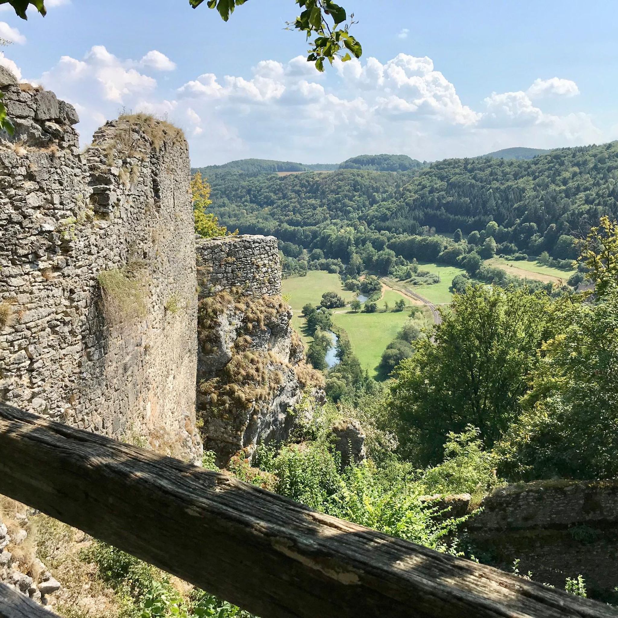
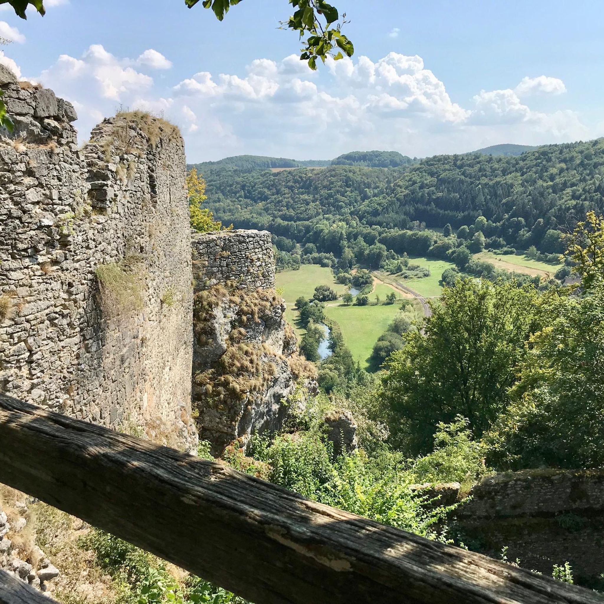
Mr. Gillette had nothing to do with the razor blades; he was a well-known Sherlock Holmes actor in the early years of the film. He used the money he earned from this to have this replica of the castle built. He must have been quite playful, as there was a small steam train in the garden that transported guests (the locomotive is in the information center).
3
0
The blue water, bright sunshine, white boats on the river... There's no point in writing, you have to see it to be believed.
3
0

Snell-Talbot Preserve is a small nature preserve on the E Haddam Colchester Turnpike in East Haddam, Connecticut. There are a few nice trails through woodlands and open fields. Although you cannot ride on these the preserve, it's still a pretty spot to ride past as you explore East Haddam.
0
0

This town embodies the quintessential charm of New England, with its picturesque Main Street lined with boutiques, cafes, and historic landmarks.
0
0
This town embodies the quintessential charm of New England, with its picturesque Main Street lined with boutiques, cafes, and historic landmarks.
0
0

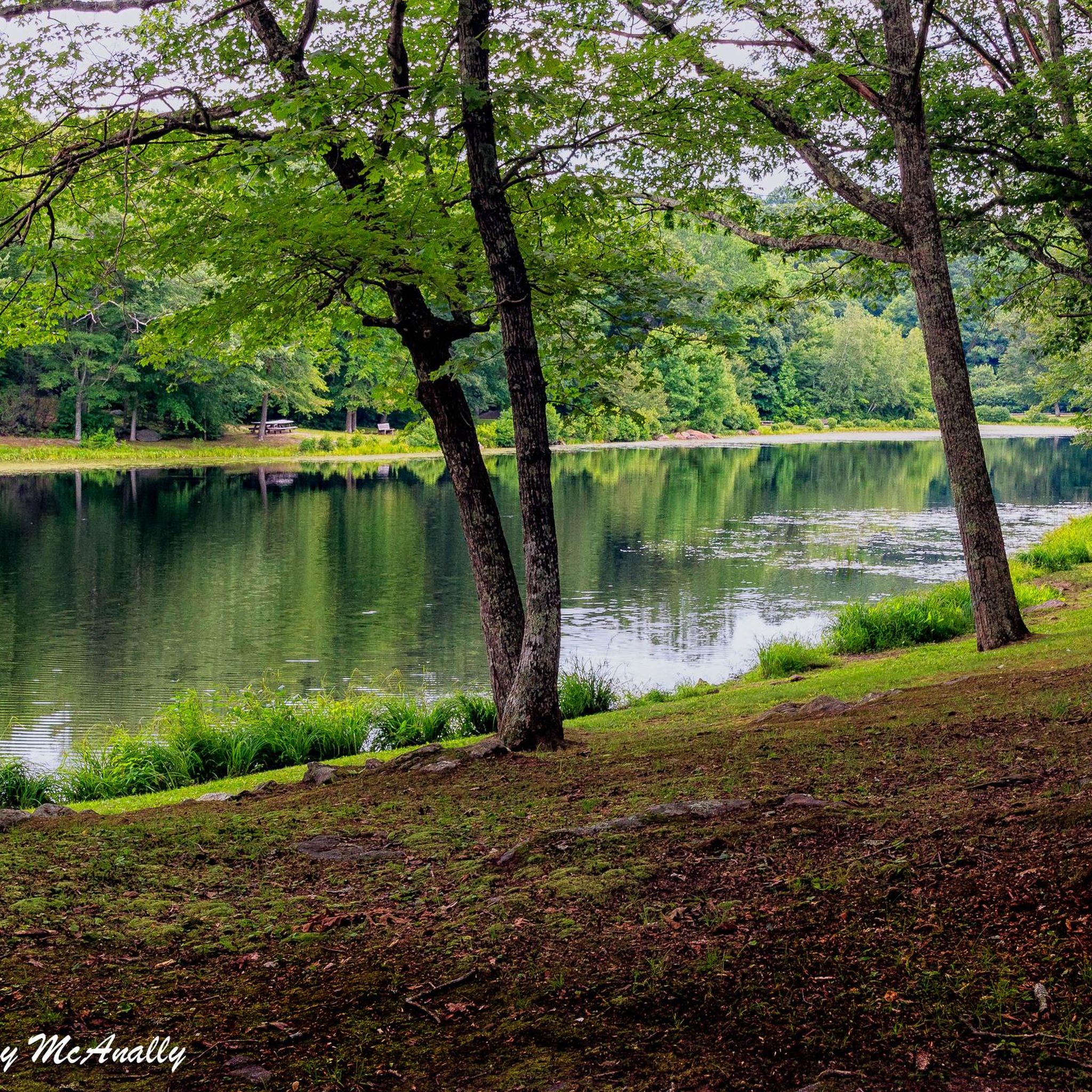
Surrounded by tall woodland, this town open space provides a great spot for you to jump off the bike and take a rest. Take care whilst pulling back onto the road.
0
0
Evelyn & Hawthorne Smyth Sanctuary is a small nature Preserve off of Essex Street near Post Cove and the Connecticut River. As you ride, you get nice views over the water in this attractive area.
0
0
Frequently Asked Questions
What kind of terrain can I expect when road cycling near Day Pond State Park?
Road cycling routes in this area primarily utilize the adjacent Air Line State Park Trail. This trail features varied surface conditions, including sections of crushed stone, gravel, and ballast, which may be challenging for thin-tired road bikes. However, some segments, particularly towards the southern end near Windham, are paved, offering a smoother ride. It's advisable to be prepared for mixed surfaces.
Are there any paved sections on the Air Line State Park Trail suitable for road bikes?
Yes, while much of the Air Line State Park Trail consists of crushed stone and gravel, there are paved sections, especially towards the southern end near Windham. These paved segments are more suitable for traditional road bikes, offering a smoother cycling experience.
What are some notable natural features or landmarks I might see while cycling in the region?
The area offers scenic views through forests and wetlands. While cycling, you might encounter evidence of glacial activity, such as abundant boulders. The Air Line State Park Trail also passes over historic bridges, including the Comstock Covered Bridge. Day Pond State Park itself is home to the picturesque Day Pond Brook Falls, a multi-tiered waterfall, though this is typically accessed via hiking trails within the park.
Are there any easy road cycling routes for beginners near Day Pond State Park?
Yes, there are routes suitable for easy ability levels. For example, the Devil's Hopyard State Park loop from Lake Hayward is rated as easy, covering 25.3 miles (40.7 km) with moderate elevation gain. This route offers a good option for those looking for a less strenuous ride.
What is the dog policy for road cycling on the Air Line State Park Trail?
The Air Line State Park Trail is generally dog-friendly, allowing leashed dogs. However, it's always recommended to check specific regulations or signage at trailheads, especially regarding waste disposal and keeping dogs under control to ensure a pleasant experience for all users.
Are the road cycling routes in this area suitable for families?
The Air Line State Park Trail, with its generally flat grade, can be suitable for families, especially on its smoother or paved sections. However, given the varied surface conditions (crushed stone, gravel), families with younger children or those on bikes with thinner tires might prefer to stick to the paved segments or routes specifically designed for family-friendly cycling. Day Pond State Park itself offers family-friendly activities like swimming and picnicking.
Where can I find parking for accessing the Air Line State Park Trail near Day Pond State Park?
Parking is available at various access points along the Air Line State Park Trail. For the Colchester spur, which connects near Day Pond State Park, you can find information on parking facilities through the local Colchester town website. For more details on specific parking locations, you can refer to the Colchester Parks & Facilities page.
What do other road cyclists enjoy most about cycling in the Day Pond State Park region?
The area is highly rated by the komoot community, with an average score of 5.0 stars. Reviewers often praise the varied terrain and the opportunity to explore scenic routes through forests and over historic bridges. Routes like Salem Valley Farms Ice Cream – Nice quiet road loop from Moodus are popular for their quiet roads and scenic views.
Are there any challenging or advanced road cycling routes in the area?
Yes, for more experienced cyclists, there are difficult routes available. An example is the Mount Caesar – Rocky Neck State Park loop from Colchester, which is a demanding 59.8 miles (96.3 km) ride with significant elevation gain, offering a substantial challenge.
Can I find loop trails for road cycling, or are they mostly out-and-back?
While the Air Line State Park Trail is a linear path, many komoot routes in the region are designed as loops, incorporating sections of the trail with local roads to create circular journeys. Examples include the Devil's Hopyard State Park loop from Moodus and the Devil's Hopyard Covered Bridge – Devil's Hopyard State Park loop from Colchester, allowing you to start and finish in the same location.
What amenities are available within Day Pond State Park itself?
Day Pond State Park, while not primarily for road cycling, offers several amenities for visitors. These include a swimming pond with a small beach, designated picnic areas (including a rentable pavilion), and opportunities for pond fishing. There's also an extensive trail network for hiking and mountain biking.
Are there any cafes or places to stop for refreshments near the cycling routes?
While Day Pond State Park itself doesn't have cafes, the surrounding towns like Colchester and Moodus offer various options for refreshments, including cafes, pubs, and restaurants. Some routes, like the Salem Valley Farms Ice Cream – Nice quiet road loop from Moodus, even highlight specific stops like Salem Valley Farms for a treat.
Most popular routes in Day Pond State Park

Get inspired with the komoot mobile app


Explore more
Browse the best Road cycling routes in other regions.
