The best road cycling routes in Berowra Valley Regional Park
4.3
(34)
3,442
riders
50
rides
Road cycling routes in Berowra Valley Regional Park traverse a diverse landscape characterized by expansive bushland, varied topography, and significant elevation changes. The region features a mix of moist, forested valley floors, drier open eucalyptus forests, and striking sandstone formations. Road cyclists encounter challenging climbs and descents, often transitioning through distinct ecosystems from creekside scenery to elevated viewpoints. The area provides a serene cycling experience with minimal traffic on many routes.
Best road cycling routes in Berowra Valley Regional Park
…Last updated: July 4, 2026
4.0
(1)
144
riders
82.4km
03:57
1,060m
1,060m
Hard road ride. Very good fitness required. Mostly well-paved surfaces and easy to ride.
46
riders
129km
06:42
1,500m
1,500m
Hard road ride. Very good fitness required. Mostly well-paved surfaces and easy to ride.

Sign up for free
25
riders
118km
06:09
1,410m
1,410m
Hard road ride. Very good fitness required. Some segments of this route may be unpaved and difficult to ride.
17
riders
20.5km
01:04
300m
300m
Easy road ride. Great for any fitness level. Mostly well-paved surfaces and easy to ride.
5.0
(1)
15
riders
32.3km
01:32
320m
320m
Moderate road ride. Good fitness required. Mostly well-paved surfaces and easy to ride.
Get access to more routes and recommendations from other explorers.
Sign up for free
Already have an account?
Our route recommendations are based on thousands of hikes, rides, and runs completed by other people on komoot.
Start today with a free account
Your next adventure awaits.
Login or Signup
Popular around Berowra Valley Regional Park

Tips from the Community

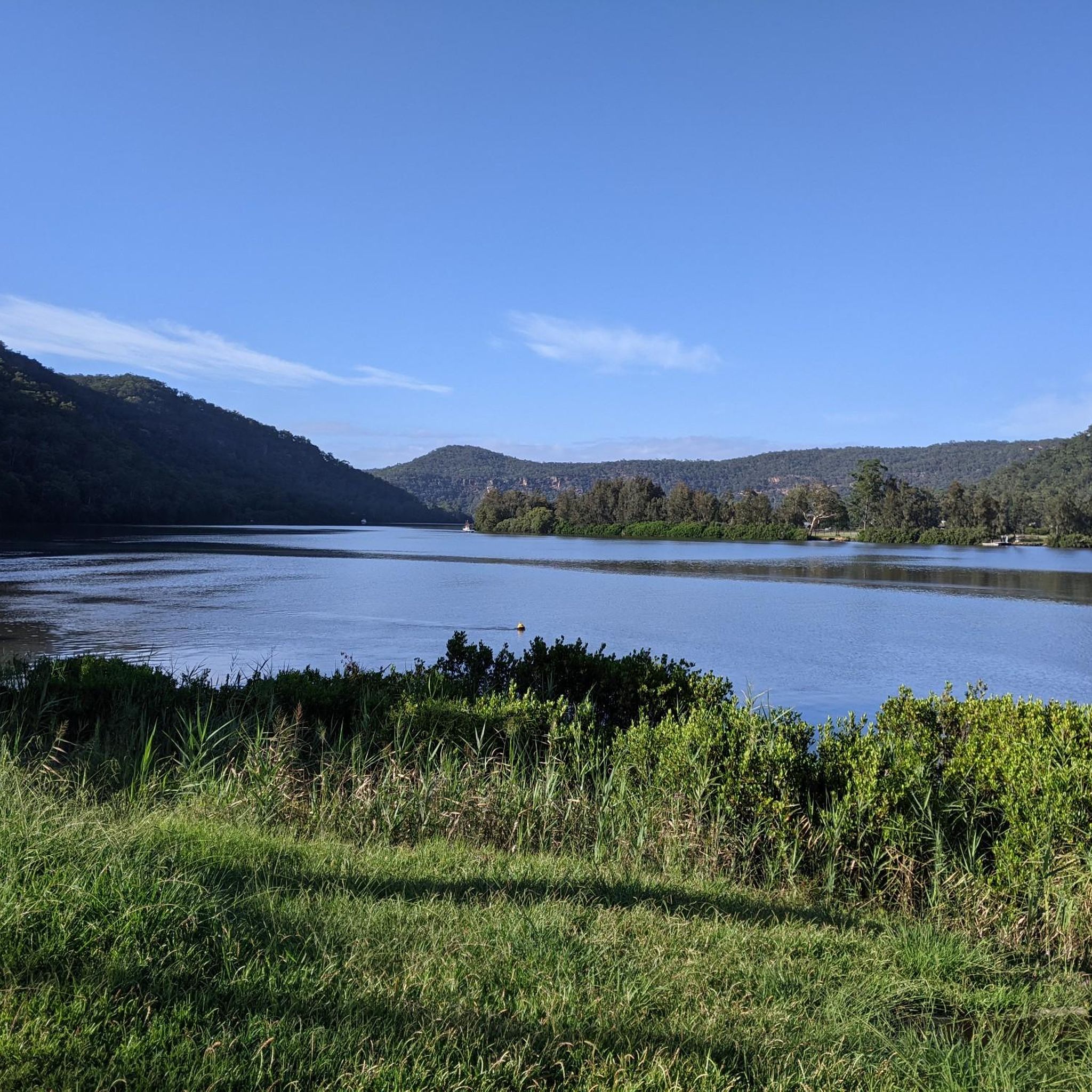
Beautiful picnic and boating area in Kuring gai Chase NP, Marina, Café, Restaurant
0
0


Gnomesville in HH seems to be growing quite quickly. Many more of the little creatures there since these pics were taken. Gnomesvilles seem to be popping up in other places too it seems! Fun for the kids.
0
0
This road is very narrow with a few blind spots for cars. There is also very little room between the bike lane and the rock wall on your side. If you are in a group best to ride single file.
0
0
A great place for a coffee and a bacon and egg roll after the long climb up from the Hawkesbury River.
0
0
Frequently Asked Questions
How many road cycling routes are available in Berowra Valley Regional Park?
There are over 50 road cycling routes in Berowra Valley Regional Park, offering a wide range of options for different skill levels and preferences. These routes traverse diverse landscapes, from creek-side scenery to elevated viewpoints.
What kind of terrain can I expect on road cycling routes in Berowra Valley Regional Park?
Road cycling routes in Berowra Valley Regional Park feature a diverse landscape characterized by expansive bushland, varied topography, and significant elevation changes. You'll encounter deeply incised valleys, sandstone formations, and a mix of moist, forested valley floors and drier open eucalyptus forests. Many routes include challenging climbs and descents on paved surfaces.
Are there any easy or family-friendly road cycling routes in the park?
Yes, Berowra Valley Regional Park offers 13 easy and 27 moderate road cycling routes suitable for various fitness levels. While the park's terrain can be challenging, routes like the Gnomesville Hornsby Heights loop from Beecroft offer a moderate option at 32.2 km, providing a good balance for those seeking a less strenuous ride.
What are some challenging road cycling routes for experienced riders?
For experienced riders seeking a challenge, Berowra Valley Regional Park has 12 difficult routes. Options include the demanding Hawkins Lookout – Glenorie Bakery loop from Asquith, which spans 129.4 km with over 1500m of elevation gain, or the Glenorie Bakery – Hawkins Lookout loop from Asquith, a 118.5 km route with substantial climbing.
What natural attractions or landmarks can I see along the road cycling routes?
The park is rich in natural beauty. You can expect to see bushland valleys, tranquil creek areas along Berowra, Calna, Tunks, and Pyes Creeks, and impressive sandstone formations, rock platforms, and tall cliffs. Some routes offer scenic lookouts with panoramic views of the valley. While specific highlight data isn't available for direct linking, the region is known for areas like Fishponds and the Waitara Creek rock pools (The Washtub).
Are there any circular road cycling routes in Berowra Valley Regional Park?
Yes, many of the road cycling routes in Berowra Valley Regional Park are designed as loops, allowing you to start and finish at the same point. Examples include the Cowan Road – Pie in the Sky loop from Hornsby and the Pymble Soldiers' Memorial Park – Bobbin Head Recreation Area loop from Mount Colah.
Can I bring my dog on the road cycling trails in Berowra Valley Regional Park?
While Berowra Valley Regional Park is distinct from the adjacent National Park, dogs are permitted in specific areas of the Regional Park. However, it's always best to check local signage and regulations for the specific trail you plan to ride, as rules can vary to protect wildlife and ensure visitor safety.
Where can I find parking for road cycling in Berowra Valley Regional Park?
Parking is generally available at various access points and trailheads around Berowra Valley Regional Park. Specific parking locations will depend on your chosen starting point for a route. Many routes originate from nearby suburbs like Hornsby, Mount Colah, Asquith, or Beecroft, where you can often find suitable parking facilities.
What is the best time of year for road cycling in Berowra Valley Regional Park?
The best time for road cycling in Berowra Valley Regional Park is typically during the cooler, drier months of autumn and spring (March to May, and September to November). These seasons offer pleasant temperatures and less humidity, making long rides more enjoyable. Summer can be hot, while winter mornings can be chilly but often clear.
What do other road cyclists say about their experience in Berowra Valley Regional Park?
The road cycling routes in Berowra Valley Regional Park are highly rated by the komoot community, with an average score of 4.4 stars from over 30 reviews. Cyclists often praise the diverse bushland, challenging climbs, and the serene experience with minimal traffic on many routes, highlighting the region's natural beauty and varied terrain.
Are there cafes or places to refuel near the road cycling routes?
Yes, several road cycling routes pass through or near towns and suburbs where you can find cafes and bakeries for refreshments. For example, the Hawkins Lookout – Glenorie Bakery loop from Asquith explicitly mentions the Glenorie Bakery, a popular stop for cyclists. Other routes may pass through areas like Hornsby or Mount Colah, offering various options for food and drink.
Most popular routes in Berowra Valley Regional Park

Get inspired with the komoot mobile app


Explore more
Browse the best Road cycling routes in other regions.
