The best walks and hikes in Berowra Valley Regional Park
4.7
(128)
1,268
hikers
62
hikes
Hiking in Berowra Valley Regional Park offers diverse landscapes, including expansive bushland, woodlands, sandstone gorges, and creeks. The terrain features fern-filled gullies and open forests dominated by tall blue gum trees, providing varied conditions for hikers. The Berowra Creek catchment flows through the park, contributing to its natural features like rock pools and long natural waterholes. Overhanging rock formations and wetlands further define the park's scenic appeal.
Best hiking trails in Berowra Valley Regional Park
- The most popular hiking route…
Last updated: July 1, 2026
5.0
(2)
9
hikers
11.4km
03:41
420m
420m
Moderate hike. Good fitness required. Mostly accessible paths. Sure-footedness required.
1
hikers
2.28km
00:38
40m
40m
Easy hike. Great for any fitness level. Easily-accessible paths. Suitable for all skill levels.

Sign up for free
5.0
(1)
8
hikers
11.4km
03:14
240m
240m
Moderate hike. Good fitness required. Easily-accessible paths. Suitable for all skill levels.
4.6
(11)
58
hikers
15.5km
04:22
320m
320m
Moderate hike. Good fitness required. Easily-accessible paths. Suitable for all skill levels.
4.5
(4)
50
hikers
4.23km
01:14
120m
120m
Easy hike. Great for any fitness level. Easily-accessible paths. Suitable for all skill levels.
Get access to more routes and recommendations from other explorers.
Sign up for free
Already have an account?
Our route recommendations are based on thousands of hikes, rides, and runs completed by other people on komoot.
Start today with a free account
Your next adventure awaits.
Login or Signup
Tips from the Community

Tunks Creek Bridge is a historic truss road bridge spanning its namesake creek in Galston Gorge. The bridge was built between 1893-94 and spans 20 metres across the creek. It was added to the on the New South Wales State Heritage Register in June of 2000.
0
0
Tunks Trail runs to the top of Tunks Ridge from the campground of the same name. It also forms part of the 27-kilometre Great North Trail that spans the distance between Sydney and Newcastle.
0
0
There's a small waterfall here that can turn to just a trickle when the water is low. However, it picks up after rain and is a nice place to rest and cool down while on the trail.
0
0

Elouera Lookout opens up to views across the surrounding bushland and valley below. The viewpoint sits just off the track, offering a break from the more enclosed forest sections. From here, you get a wider perspective over the landscape, with dense tree cover stretching across the valley. Just be aware that the lookout is more exposed compared to the mostly shaded track.
0
0
Stretching for around 250 kilometres, the Great North Walk links Sydney to Newcastle, passing through a mix of bushland, sandstone ridges, and creek valleys. Sections vary widely in terrain, from well-formed tracks to rougher, uneven ground with steps and climbs. The route is marked but can feel remote in parts. This section between Thornleigh and Hornsby follows forested corridors and creek lines, with changing elevation throughout.
0
0

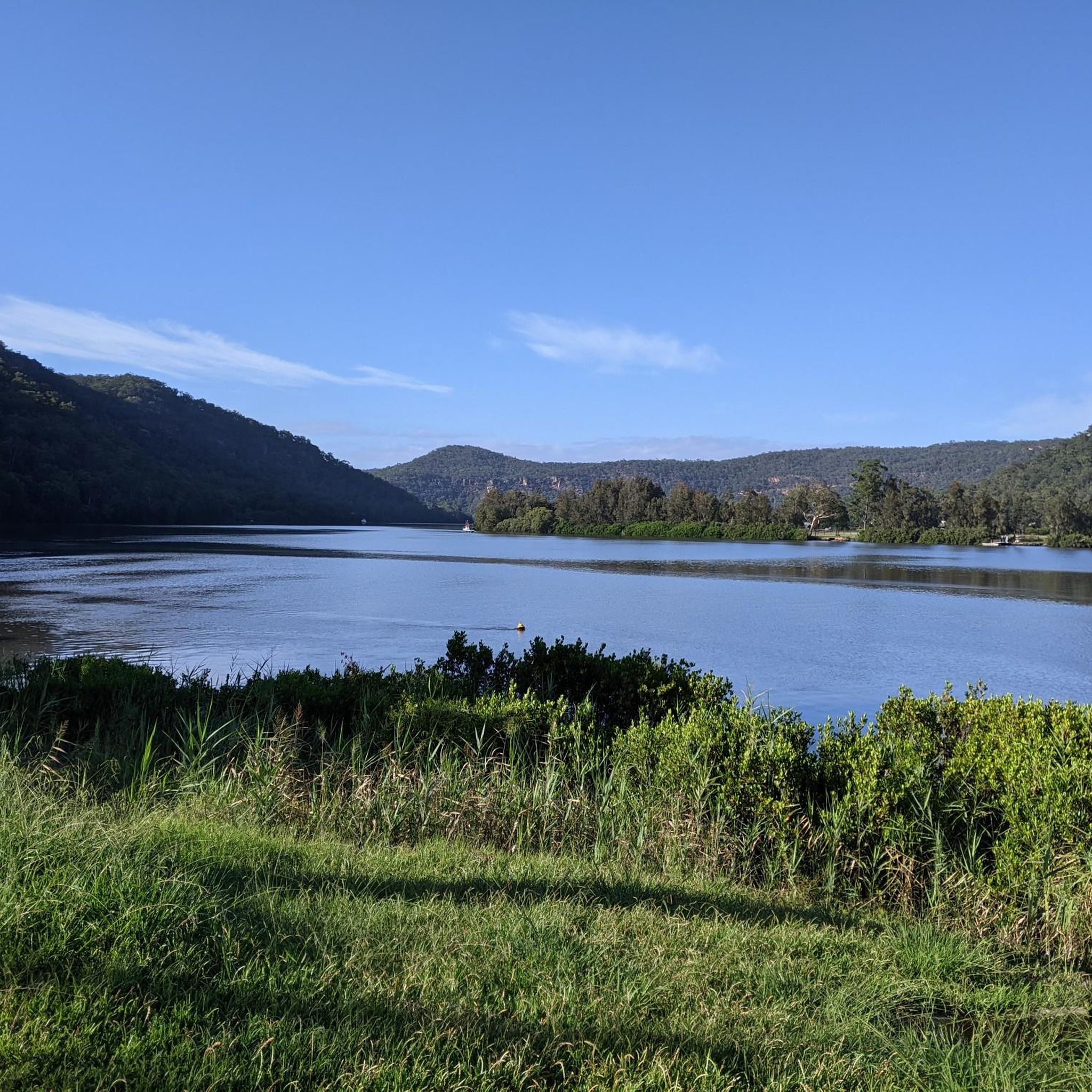
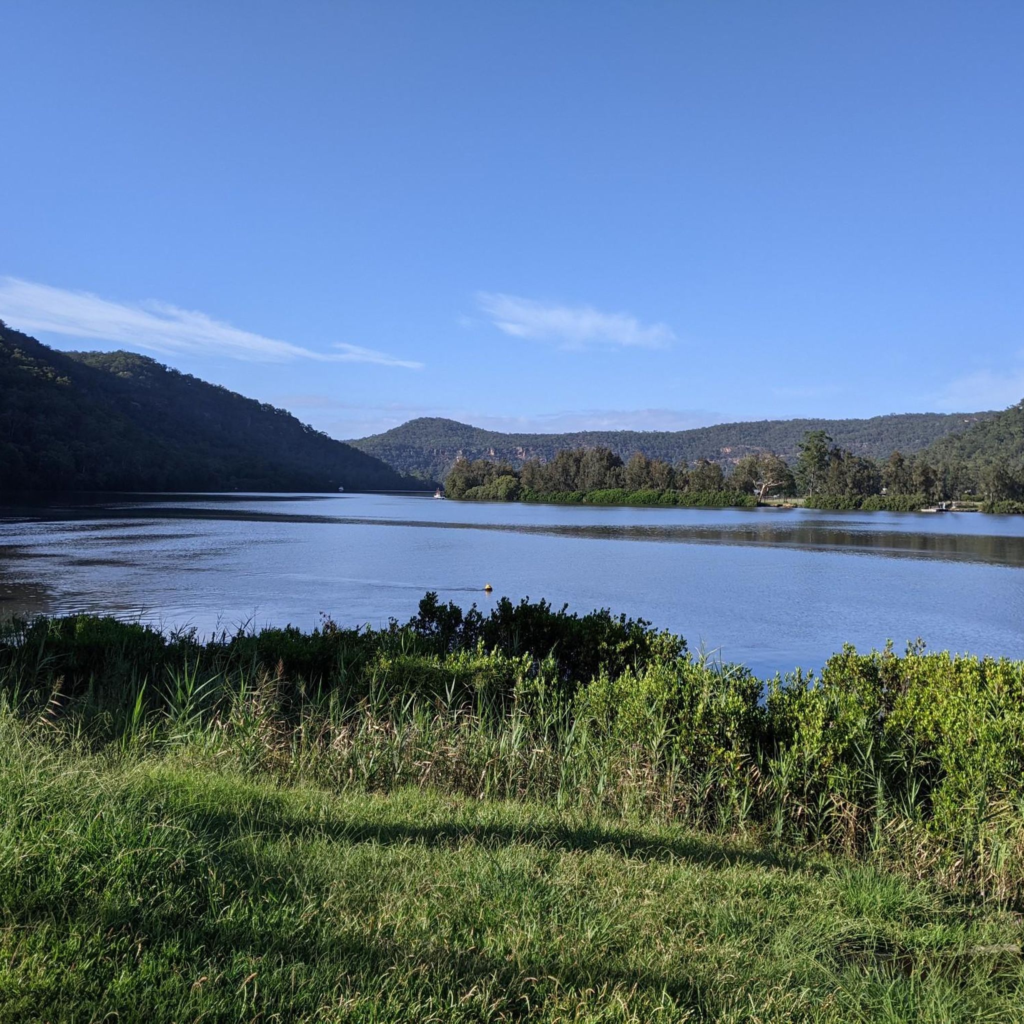
Berowra Valley National Park is a beautiful bushland reserve in northern Sydney, stretching along Berowra Creek between Pennant Hills and Berowra. The park is known for its rugged sandstone terrain, with steep ridges, deep valleys and dense eucalypt forest. It offers a network of walking tracks and lookouts, perfect for exploring peaceful natural areas without travelling too far from the city.
0
0
Refuge Rock is a wide sandstone rock platform, with extensive exposed outcrops that stretch for hundreds of metres. The open rock surface is a fantastic space to explore and relax, with beautiful views across the surrounding bushland. There is a natural sandstone arch, known as “London Bridge,” that sits at the south-eastern edge of the rock platform and is reached via a short, sometimes faint side track.
0
0
Refuge Rock Trail is a short loop in Berowra Valley National Park that follows a mix of fire trail and narrower bush tracks from Trevors Lane. It passes through open forest and sandstone terrain, leading to Refuge Rock, a wide exposed platform with beautiful views across the valley, before continuing to a hidden natural rock arch. The track is generally easy but can be unclear in places, with rocky sections and informal paths around the key features, so it's a good idea to have your offline komoot GPS route handy to stay on course.
0
0
Frequently Asked Questions
How many hiking trails are available in Berowra Valley Regional Park?
Berowra Valley Regional Park offers a wide network of over 70 hiking trails, ranging from easy strolls to more challenging routes. This includes 28 easy trails, 40 moderate trails, and 4 difficult trails, ensuring options for various fitness levels.
Are there any family-friendly hiking options in Berowra Valley Regional Park?
Yes, the park has several easy trails suitable for families. For a short and tranquil experience, consider the Greenway Park Trail loop, an easy 1.2 km path through open forests. Many trails are accessible and offer a great way to introduce children to bushwalking.
Can I bring my dog on the trails in Berowra Valley Regional Park?
Yes, specific sections of Berowra Valley Regional Park are dog-friendly. You can enjoy the bushland with your leashed companion on the Bellamy, Daphne, and Clarinda fire trails. Always ensure your dog is on a leash and you clean up after them.
What kind of natural features or landmarks can I expect to see while hiking?
Hikers can discover diverse natural features, including fern-filled gullies, open forests with tall blue gum trees, and impressive sandstone gorges. Notable spots include the Waitara Creek rock pools, locally known as "The Washtub," and Fishponds, a natural waterhole surrounded by sandstone cliffs. You might also encounter overhanging rock formations at Callicoma Caves and Coachwood Grotto, and scenic viewpoints like Barnetts Lookout and Elouera Lookout offer panoramic views.
Are there any circular hiking routes in the park?
Yes, Berowra Valley Regional Park features several circular routes. A popular choice is the Blue Gum Loop Trail, an easy 4.2 km path that includes creek crossings and sections of the Great North Walk. For a longer, moderate option, the Waitara Creek Rock Pools loop from Thornleigh is a 15.3 km trail leading through varied bushland.
What is the best time of year to go hiking in Berowra Valley Regional Park?
The park is enjoyable year-round, but spring (September-November) and autumn (March-May) offer particularly pleasant conditions with milder temperatures and vibrant flora. Summer can be hot, so early morning or late afternoon hikes are recommended, while winter provides cooler, crisp air ideal for longer walks.
Are there any historical or cultural sites to explore in the park?
Yes, beyond its natural beauty, the park holds historical significance. Hikers can discover remnants of the historic Thornleigh Quarry and Zig Zag railway. There are also Aboriginal rock carvings and other Aboriginal sites, adding a layer of cultural discovery to your outdoor experience.
How accessible is Berowra Valley Regional Park by public transport?
The park is quite accessible, with some trails conveniently starting and finishing at train stations. This makes it an ideal destination for a day trip from Sydney's suburbs, allowing visitors to reach trailheads without needing a car.
What do other hikers enjoy most about Berowra Valley Regional Park?
The area is highly rated by the komoot community, with an average score of 4.7 stars from over 150 reviews. Reviewers often praise the diverse bushland scenery, the tranquility of the creek systems, and the variety of trails that cater to different abilities, from easy strolls to challenging climbs.
Are there any challenging trails for experienced hikers?
Yes, for those seeking a challenge, the park offers routes with steep ascents, descents, and even rock scrambling sections. The challenging Galston Gorge via Tunks Trail is popular for endurance training, and the park includes a 25-kilometer stretch of the iconic Great North Walk, which can be undertaken as day walks or overnight adventures. For more information on the Great North Walk, you can visit nsw.gov.au.
Where can I find parking for the hiking trails?
Parking is available at various trailheads throughout Berowra Valley Regional Park. Specific parking areas are usually indicated on detailed trail maps or at the start of popular routes. It's advisable to check the starting point of your chosen trail for the most convenient parking options.
Most popular routes in Berowra Valley Regional Park

Get inspired with the komoot mobile app


Explore more
Browse the best Hikes in other regions.
