The best MTB trails in Berowra Valley Regional Park
4.4
(14)
162
riders
8
rides
Mountain biking in Berowra Valley Regional Park offers diverse terrain across its expansive bushland scenery. The park features a network of trails that traverse wide, open ridges and deep, lush gullies, providing varied experiences for mountain bikers. Eucalyptus forests and sandstone features characterize much of the landscape, creating a dynamic environment for riding. This area north of Sydney is known for its extensive trail system, catering to different skill levels.
Best mountain bike trails in Berowra Valley Regional Park
- The most popular mountain bike trail is Bobbin Head – Bobbin Head Picnic Area loop from Waitara, a 16.2 miles (26.1 km) trail that takes 1 hour 57 minutes to complete. This moderate route offers significant elevation changes and scenic sections.
- Another top favourite among local mountain bikers is Duckys Waterhole – Browns Waterhole loop from Epping, a moderate 11.6 miles (18.6 km) path. This trail winds through varied bushland and offers a quintessential taste of the valley's terrain.
- Local mountain bikers also love the Eucalyptus Forest loop from Thornleigh, a 4.7 miles (7.5 km) trail leading through beautiful forests, often completed in about 36 minutes.
- Mountain biking in Berowra Valley Regional Park is defined by expansive bushland, eucalyptus forests, and deep gullies. The network offers options for different ability levels, from easy paths to more challenging routes.
- The routes in Berowra Valley Regional Park are highly rated by the komoot community with an average score of 4.7 stars from more than 5 reviews. More than 150 mountain bikers have used komoot to explore Berowra Valley Regional Park's varied terrain.
Last updated: July 4, 2026
5.0
(3)
65
riders
7.50km
00:36
70m
70m
Hard mountain bike ride. Great for any fitness level. Advanced riding skills necessary. Some portions of the route may require you to push your bike.
8
riders
26.9km
02:00
480m
480m
Moderate mountain bike ride. Good fitness required. Suitable for all skill levels.

Sign up for free
4.9
(7)
12
riders
19.7km
01:35
280m
280m
Moderate mountain bike ride. Great for any fitness level. Advanced riding skills necessary.
5.0
(1)
13
riders
27.3km
02:05
400m
400m
Moderate mountain bike ride. Good fitness required. Suitable for all skill levels.
3.0
(1)
3
riders
28.6km
01:41
210m
210m
Easy mountain bike ride. Great for any fitness level. Suitable for all skill levels.
Get access to more routes and recommendations from other explorers.
Sign up for free
Already have an account?
Our route recommendations are based on thousands of hikes, rides, and runs completed by other people on komoot.
Start today with a free account
Your next adventure awaits.
Login or Signup

Tips from the Community

Parramatta Valley Cycleway is a mostly flat shared walking and cycling route that follows the Parramatta River through western Sydney, connecting Parramatta Park with several riverside reserves, wetlands, and Sydney Olympic Park. The route is a lovely combination of dedicated paths, boardwalks, and quiet foreshore sections, with plenty of views across the river and surrounding parklands. The riverside scenery, native vegetation, and mix of urban and natural landscapes make it a picturesque and accessible way to explore the Parramatta region by bike or on foot.
0
0

Devlins Creek Trail follows the creek corridor through shaded bushland, linking narrower single-track sections with rocky creek crossings and sandstone terrain. Compared to the wider fire trails higher in the park, this route feels more enclosed, with dense vegetation and a rougher surface underfoot. Tree roots, rocks, and smaller creek crossings slow the pace in sections, especially after rain when parts of the track can become muddy or slippery. The trail also forms part of the wider Great North Walk network through Lane Cove National Park.
0
0
Devlins Creek is a sandstone creek system flowing through the upper sections of Lane Cove National Park before joining Terrys Creek to form the Lane Cove River. Along the trail, the creek passes through shaded bushland with rocky banks, shallow crossings, and small waterholes tucked beneath the forest canopy. Water flow varies depending on rainfall, with calmer pools in drier periods and stronger movement after rain. The creek is named after James Devlin, a nineteenth century landowner connected to the area.
0
0
Pennant Hills Trail follows a management-style bush track through eucalypt forest on the upper edges of Lane Cove National Park. The trail is wider and more open than the narrower river tracks below, with long stretches of dirt and gravel surface underfoot. Sections connect into older fire trails and parts of the wider Great North Walk network, with steady climbs and descents through the bushland. Wildlife such as wallabies, water dragons, and birdlife are commonly seen along quieter sections of the trail.
0
0
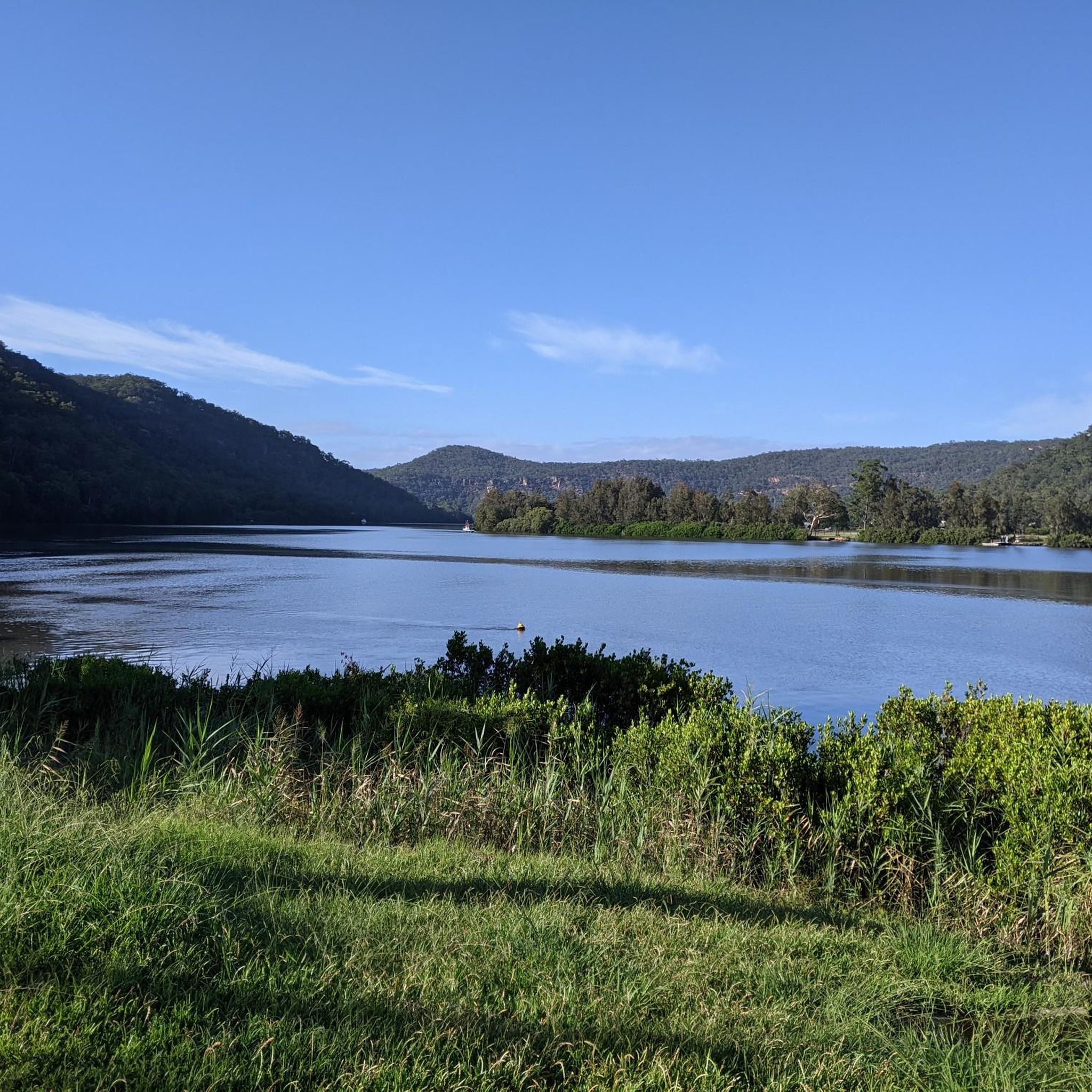
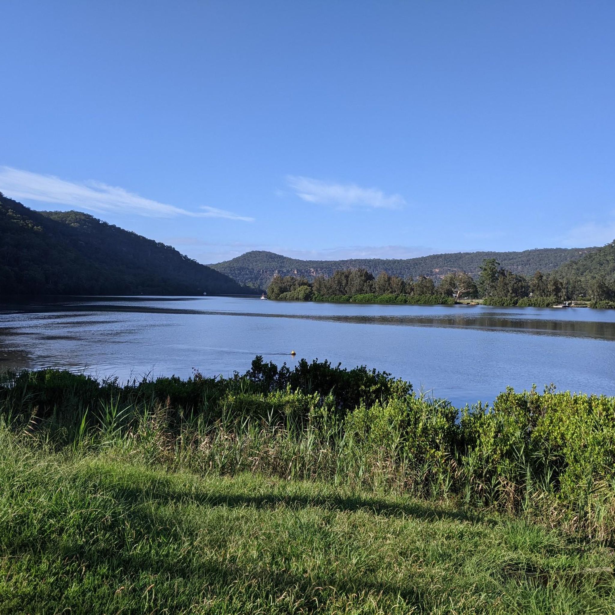
Parramatta River runs from the west of Sydney into Sydney Harbour, forming a major waterway through the city. In this section, the river is lined with parkland and mangroves, with calmer water and reflections along the edges. The surrounding paths bring you close to the shoreline in parts, with views across to the opposite bank and occasional bridges crossing overhead.
0
0
Escarpment Boardwalk forms a key section of the Parramatta Valley Cycleway, linking Parramatta Park with the river foreshore through a fully off-road path. The elevated boardwalk runs beside mangroves and below the escarpment, with some sections passing directly through the tree canopy above the river. Opened as the final missing link in the cycleway network, the structure sits close to the water while carrying both pedestrians and cyclists through an area that previously had no direct foreshore access.
0
0

I love riding along the Cycleway, especially the sections where they have separate the pedestrians from the cyclists
0
0
the is a great ride, especially when you are coming back down the hill
0
0
Frequently Asked Questions
How many mountain bike trails are there in Berowra Valley Regional Park?
Berowra Valley Regional Park offers a network of over 10 mountain bike trails, catering to various skill levels. These routes traverse diverse terrain, from wide fire trails to challenging single tracks.
What kind of terrain can I expect on mountain bike trails in Berowra Valley Regional Park?
The park features diverse terrain, including wide, open ridges and deep, lush gullies. You'll encounter eucalyptus forests, sandstone features, and varied elevation changes. Trails like the Bobbin Head – Bobbin Head Picnic Area loop from Waitara offer significant elevation, while others provide a mix of open paths and technical sections.
Are there any family-friendly mountain bike trails in Berowra Valley Regional Park?
Yes, the park offers trails suitable for families. For an easier ride, consider routes with less elevation gain and wider paths. The park's extensive network includes options that are less technical, allowing families to enjoy the bushland scenery together. For example, the Lane Cove National Park – Lane Cove National Park loop from Gordon is rated as easy.
Are dogs allowed on mountain bike trails in Berowra Valley Regional Park?
Berowra Valley Regional Park is part of the NSW National Parks system. Generally, dogs are not permitted in national parks and reserves, including on mountain bike trails, to protect wildlife and natural habitats. It's always best to check the official NSW National Parks website for the most current regulations regarding pets: nsw.gov.au.
What are some challenging mountain bike trails for experienced riders in Berowra Valley Regional Park?
Experienced riders seeking a challenge will find routes with significant elevation and technical sections. The Eucalyptus Forest loop from Thornleigh is rated as difficult, offering a more demanding experience. Other trails like the Berkeley Fire Trail are known for substantial climbs.
What natural features and landmarks can I see while mountain biking in Berowra Valley Regional Park?
The park is rich in natural beauty, featuring expansive bushland, eucalyptus forests, and dramatic sandstone rock formations. You can explore fern-filled gullies, serene sections along Berowra Creek, and discover natural attractions like the tranquil Waitara Creek rock pools (The Washtub) and Fishponds. Lookouts throughout the park also offer scenic views.
Are there any loop mountain bike trails in Berowra Valley Regional Park?
Yes, many of the mountain bike trails in Berowra Valley Regional Park are designed as loops, offering a convenient way to explore the area without retracing your steps. Examples include the popular Bobbin Head – Bobbin Head Picnic Area loop from Waitara and the Duckys Waterhole – Browns Waterhole loop from Epping.
What is the best time of year to go mountain biking in Berowra Valley Regional Park?
The best time to go mountain biking in Berowra Valley Regional Park is generally during the cooler, drier months, typically autumn and spring. This avoids the intense heat of summer and the potentially muddy conditions after heavy winter rains. Always check local weather forecasts and trail conditions before heading out.
Where can I find parking for mountain biking in Berowra Valley Regional Park?
Parking is available at various access points around Berowra Valley Regional Park. Specific parking areas can be found near popular trailheads and picnic spots like Crosslands Reserve. It's advisable to check the starting point of your chosen route for the most convenient parking options.
What do other mountain bikers enjoy most about the trails in Berowra Valley Regional Park?
The trails in Berowra Valley Regional Park are highly rated by the komoot community, with an average score of 4.7 stars. Reviewers often praise the diverse terrain, from open ridges to lush gullies, and the extensive network of trails that cater to different skill levels. The scenic bushland and varied landscapes are frequently highlighted as key attractions.
Are there any cafes or amenities near the mountain bike trails in Berowra Valley Regional Park?
While the park itself is primarily natural bushland, there are amenities available in nearby towns and suburbs surrounding Berowra Valley Regional Park. Crosslands Reserve within the park offers picnic and barbecue facilities. For cafes and other services, you would typically find them in adjacent areas like Thornleigh, Epping, or Waitara.
How long are the mountain bike trails in Berowra Valley Regional Park?
Trail lengths vary significantly in Berowra Valley Regional Park, offering options for short rides and longer excursions. For instance, the Eucalyptus Forest loop from Thornleigh is about 4.7 miles (7.5 km), while the Bobbin Head Picnic Area – Bobbin Head loop from Warrawee extends to approximately 16.7 miles (26.8 km).
Most popular routes in Berowra Valley Regional Park

Get inspired with the komoot mobile app


Explore more
Browse the best MTB trails in other regions.
