Attractions and Places To See in Lower Seymour Conservation Reserve - Top 9
Best attractions and places to see in Lower Seymour Conservation Reserve include a diverse range of natural features and recreational opportunities within its 5,668 hectares. This protected area serves as a crucial water source for Metro Vancouver and features extensive rainforests, forested slopes, and waterways. Visitors can explore a network of trails and enjoy scenic views of mountains and valleys. The reserve offers a natural escape with varied landscapes for outdoor activities.
Best attractions and places to see in Lower…
Last updated: October 9, 2026
Mount Seymour
Highlight • Summit
Tip by

Varley Trail
Highlight (Segment) • Trail
Tip by

Sign up now to discover places like this
Get recommendations on the best single tracks, peaks, & plenty of other exciting outdoor places.
View of Rice Lake
Highlight • Lake
Tip by

Elbow Pool
Highlight • River
Tip by
Canyon and river view - Seymour River
Highlight • Canyon
Tip by
Sign up for free to discover even more attractions in Lower Seymour Conservation Reserve.
Already have an account?
Start today with a free account
Your next adventure awaits.
Popular around Lower Seymour Conservation Reserve
Tips from the Community

The Varley Trail is a multi-use trail in North Vancouver consisting of mostly loose gravel. The trail offers plenty of great views as it winds along Lynn Creek.
0
0

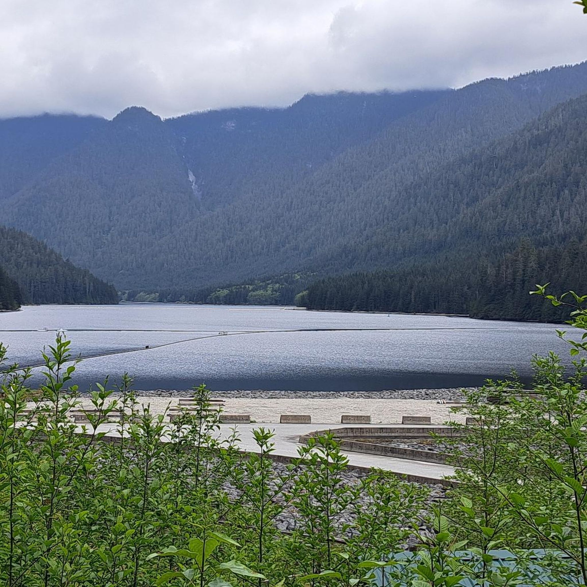
The raging Seymour River has carved a deep rocky gorge. You can cross the river on the Baden Powell Pipeline Bridge and then climb countless steps up the gorge.
2
0
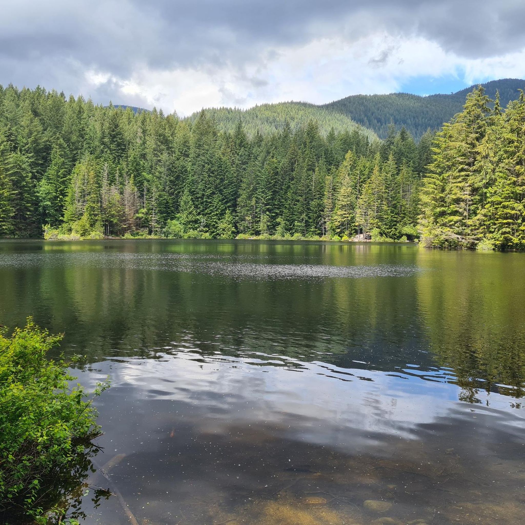
Rice Lake is located in the Lower Seymour Conservation Reserve, a few hundred meters north of the end of Lillooet Road. The lake is stocked with rainbow trout and is a popular fishing spot. A 3-km-long, mostly flat trail surrounds the lake, making it ideal for walking.
2
0
The Elbow Trail leads from Fisherman's Trail (North) to a prominent bend in the Seymour River. Its watershed lies within the Lower Seymour Conservation Reserve. In the summer months, you can swim in Elbow Pool. Two picnic tables are located on the embankment. (Visit May 23, 2025)
3
0

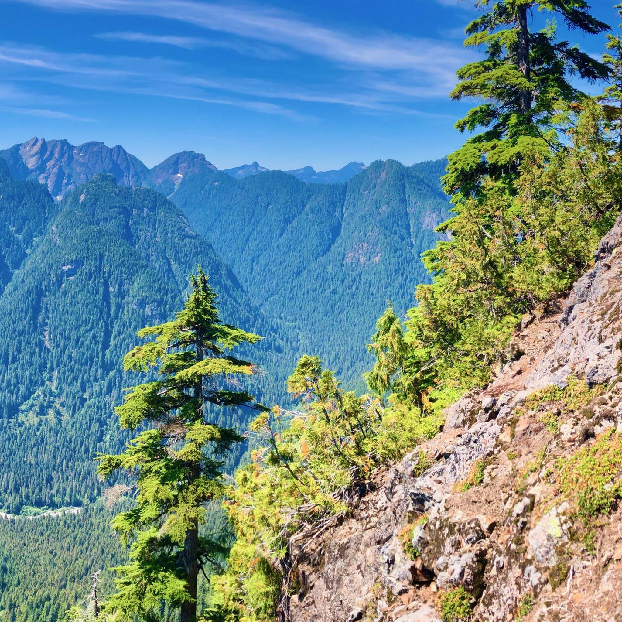
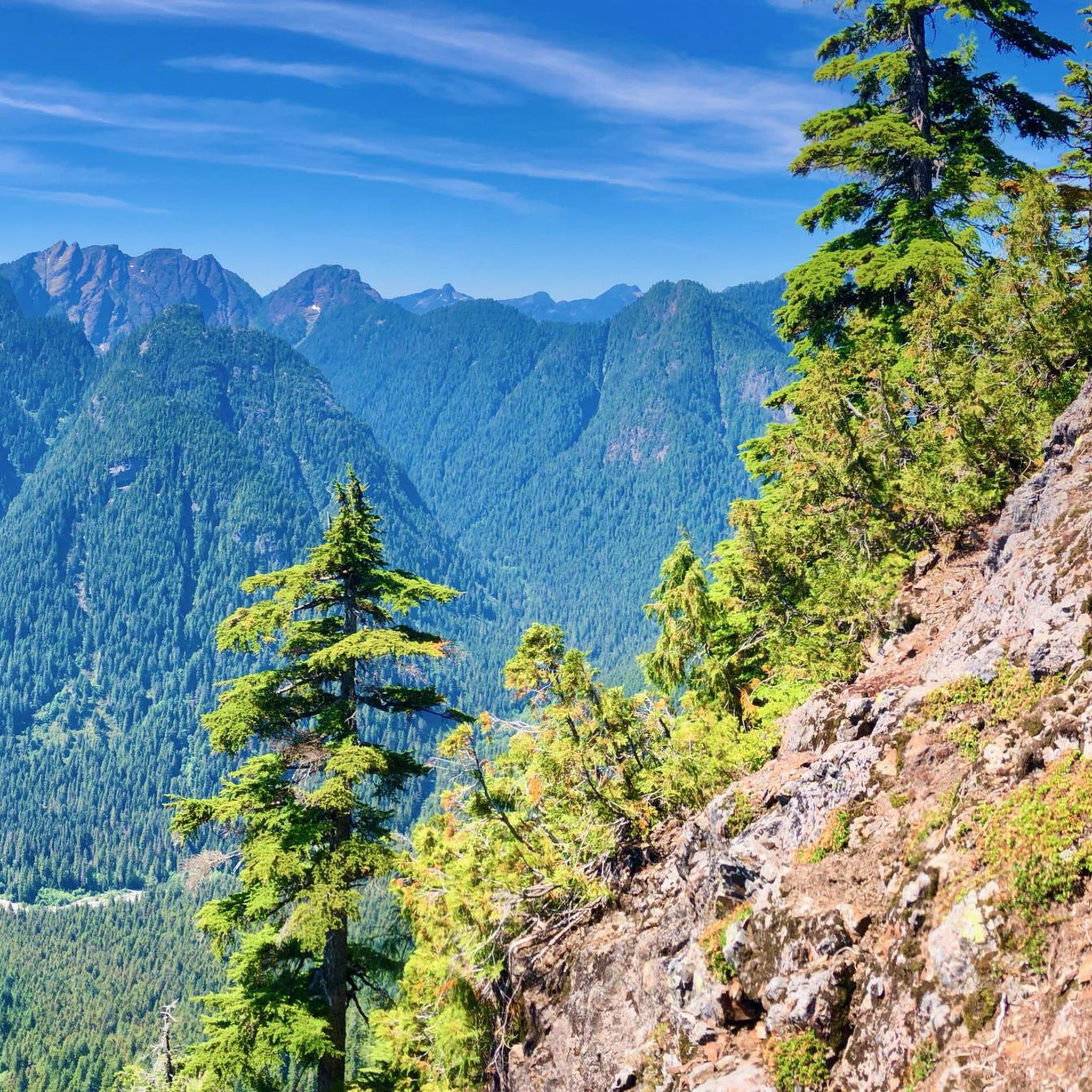
Mt Seymour is located in the District of North Vancouver, BC. It is a part of the North Shore Mountains, rising to the north from the shores of Burrard Inlet and Indian Arm to a summit of 1,449 m (4,754 ft) above the Indian River and Deep Cove neighbourhoods. Mount Seymour is most commonly identified for its ski area of the same name, and as a popular mountain biking and hiking area. It is named in honour of Frederick Seymour, second governor of the Colony of British Columbia. The name is used to refer to the ridge although the main summit is one of several, and is also known as Third Pump Peak.
3
0
Frequently Asked Questions
What natural features can I explore in Lower Seymour Conservation Reserve?
The reserve is rich in natural beauty, featuring extensive rainforests, dense forested areas, and significant waterways like the Seymour River and Lynn Creek. You can also visit picturesque Rice Lake, which is popular for fishing and surrounded by an easy walking trail. The area also boasts 21 named peaks, including Mount Seymour, offering scenic views.
Are there family-friendly attractions or activities in the Lower Seymour Conservation Reserve?
Yes, the reserve offers several family-friendly options. The View of Rice Lake is a great spot, with a mostly flat 3-kilometer loop trail perfect for walking with children. The Seymour Valley Trailway is also excellent for strollers, cycling, and walking, featuring five picnic sites with amenities like outhouses.
What kind of trails are available for cycling in the reserve?
The Lower Seymour Conservation Reserve is a prime location for cycling. The 10-kilometer paved Seymour Valley Trailway is ideal for road cycling and inline skating. For those interested in off-road adventures, there are many kilometers of gravel roads and trails suitable for gravel biking, as well as intermediate mountain bike trails like the Richard Juryn Trail and the Circuit 8 Trails. You can find various gravel biking routes in the area, such as the 'Seymour Demonstration Forest – Seymour Trailway loop', by checking the Gravel biking in Lower Seymour Conservation Reserve guide.
What hiking opportunities are there in Lower Seymour Conservation Reserve?
The reserve offers over 65 kilometers of hiking trails for all skill levels. Options range from easy strolls like the Rice Lake loop to more challenging routes such as the Seymour River and Lynn Creek Loop, Twin Bridges Trail, and Fisherman's Trail. For specific routes, you can explore the Hiking in Lower Seymour Conservation Reserve guide, which includes routes like the 'Mount Seymour – First Peak loop' and 'View of Vancouver loop'.
Where can I find scenic viewpoints in the Lower Seymour Conservation Reserve?
For panoramic views, the Seymour River Suspension Bridge offers excellent vistas of the river and its natural surroundings. The Mid-Valley Viewpoint also provides great perspectives of the mountains and valley. Additionally, the summit of Mount Seymour provides expansive views, especially of Vancouver and the surrounding sounds.
What is the Seymour River Suspension Bridge?
The Seymour River Suspension Bridge is a modern pedestrian and bicycle bridge that crosses the Seymour River. Opened in 2018, it significantly improved access and connectivity to surrounding natural areas and trails, offering visitors beautiful panoramic views of the river.
Can I go running in the Lower Seymour Conservation Reserve?
Yes, the reserve has numerous trails suitable for running. You can find a variety of routes, from moderate to difficult, including loops like 'Third Debris Chute loop' and 'Lynn Valley Suspension Bridge – Moderate Uphill loop'. For more detailed running routes and their difficulties, refer to the Running Trails in Lower Seymour Conservation Reserve guide.
What amenities are available along the trails in the reserve?
Along the Seymour Valley Trailway, you'll find five designated picnic sites equipped with outhouses, benches, and garbage cans. Numerous other picnic spots are scattered throughout the reserve, including locations near Rice Lake, Hydraulic Creek, and Seymour Falls.
What is the Varley Trail?
The Varley Trail is a multi-use trail in North Vancouver, primarily composed of loose gravel. It winds along Lynn Creek, offering many scenic views as you traverse its intermediate-level terrain.
What is the best time to visit Lower Seymour Conservation Reserve?
The reserve is accessible year-round, with activities varying by season. While Mount Seymour is known for its ski area in winter, the warmer months are ideal for hiking, cycling, and enjoying the lakes and trails. Views of Vancouver and the surrounding sounds are particularly clear on sunny days.
What is the significance of Mount Seymour in the reserve?
Mount Seymour is a prominent summit within the North Shore Mountains, rising to 1,449 meters. It's well-known for its ski area, but also serves as a popular destination for mountain biking and hiking, offering challenging climbs and rewarding views.
Are there any cultural or historical sites within the Lower Seymour Conservation Reserve?
While the reserve is primarily celebrated for its natural environment and recreational opportunities, specific historical cultural sites are not prominently highlighted as tourist attractions within the reserve itself. However, the area holds modern cultural significance as a vital source of drinking water for Metro Vancouver, managed for both preservation and public enjoyment.
Most popular routes in Lower Seymour Conservation Reserve

Get inspired with the komoot mobile app


Explore more
Still not found the Highlight you’re looking for? See guides of the top attractions in other regions:
