The best road cycling routes in Lower Seymour Conservation Reserve
4.3
(97)
5,265
riders
27
rides
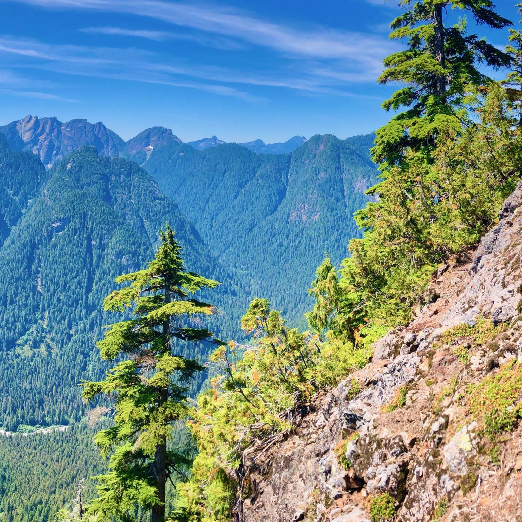
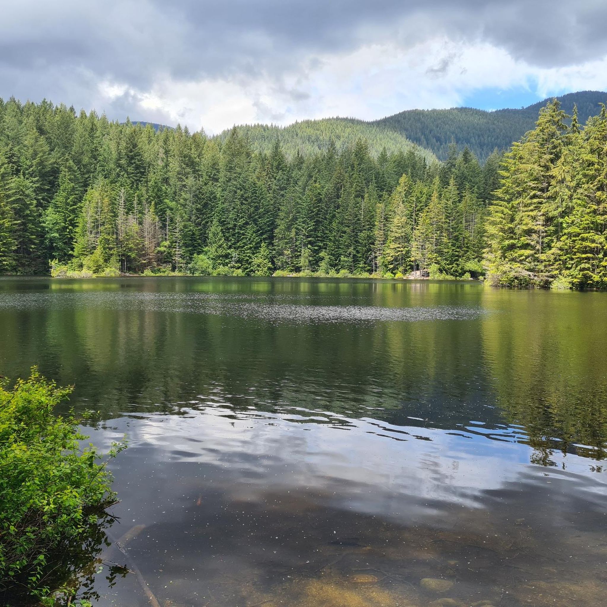
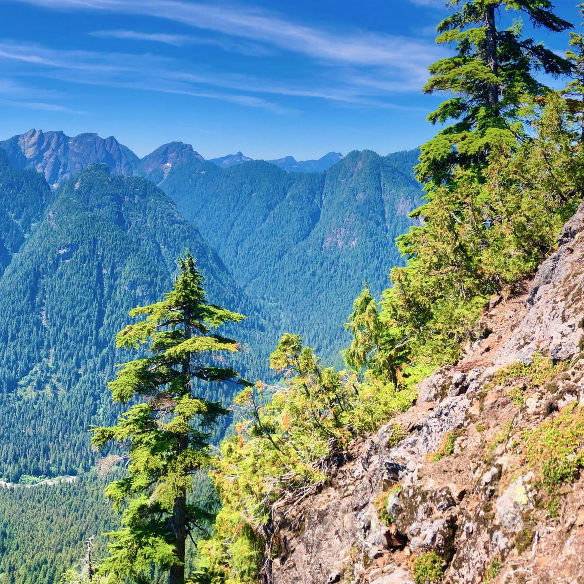
Road cycling in Lower Seymour Conservation Reserve features diverse landscapes within its 5,668 hectares of terrain. The area is characterized by dense rainforest, the Seymour River, and gentle rolling hills, providing a varied environment for cyclists. The paved Seymour Valley Trailway offers a car-free experience through the forest, leading to the Seymour Dam. The reserve includes extensive forested slopes and pristine waters, with elevations generally under 200 meters, making many routes accessible.
Best road cycling routes in Lower Seymour Conservation Reserve
- The most popular road cycling route is Seymour Demonstration Forest loop from Blueridge, a 13.5 miles (21.7 km) trail that takes 1 hour 13 minutes to complete. This moderate route winds through the scenic demonstration forest.
- Another top favourite among local road cyclists is Capilano Lake – Grouse Mountain Summit loop from Capilano University, a moderate 19.8 miles (31.9 km) path. This route offers varied terrain and requires good fitness.
- Local road cyclists also love the Stanley Park Drive – Lions Gate Bridge loop from Seymour, a 28.1 miles (45.2 km) trail leading through urban and coastal landscapes, often completed in about 2 hours 15 minutes.
- Road cycling in Lower Seymour Conservation Reserve is defined by dense rainforest, the Seymour River, and gentle rolling hills. The network offers options for different ability levels, from paved trailways to more challenging loops.
- The routes in Lower Seymour Conservation Reserve are highly rated by the komoot community with an average score of 4.6 stars from over 100 reviews. More than 6,000 road cyclists have used komoot to explore Lower Seymour Conservation Reserve's varied terrain.
Last updated: October 8, 2026
30
riders
Moderate road ride. Good fitness required. Mostly well-paved surfaces and easy to ride.
4.8
(19)
572
riders
44.7km
02:12
380m
380m
Moderate road ride. Good fitness required. Mostly well-paved surfaces and easy to ride.

7
riders
15.2km
00:51
180m
180m
Moderate road ride. Great for any fitness level. Some segments of this route may be unpaved and difficult to ride.
33
riders
17.2km
00:51
220m
220m
Easy road ride. Great for any fitness level. Mostly well-paved surfaces and easy to ride.
5.0
(1)
14
riders
14.1km
00:48
320m
320m
Moderate road ride. Good fitness required. Mostly well-paved surfaces and easy to ride.
Get access to more routes and recommendations from other explorers.
Already have an account?
Our route recommendations are based on thousands of hikes, rides, and runs completed by other people on komoot.
Start today with a free account
Your next adventure awaits.
Tips from the Community

Here, the Avison Trail crosses over Stanley Park Causeway via a sidewalk on Stanley Park Drive and gives one of the best viewpoints over Lions Gate Bridge. There is an informational sign on the sidewalk about the bridge, and the viewpoints look straight down the bridge from between the forests.
1
0

Ray Perrault Park is located in the Grandview–Woodland neighborhood and covers a full city block. The park features open green space, a playground, sports courts, and a splash pad that is popular with families during the summer months. It also includes a community garden, which adds to its role as a local gathering place.
0
0
Grand Boulevard Park is a long, linear park located in the North Vancouver. The park runs through the center of the historic Grand Boulevard, creating a wide green corridor that stretches several blocks through the neighborhood. It features open lawns, mature trees, and paved pathways that are popular for walking, jogging, and cycling. The park is also used for community gatherings and seasonal events.
0
0
On the east side of the bridge’s northern end, near the base of the bridge is a memorial to honor 27 workers who lost their lives on June 17, 1958, when a section of the original Second Narrows Bridge collapsed during construction.
0
0
The bike and foot path on the Ironworkers Memorial Bridge is part of the Spirit Trail and regional cycling network. It spans 1.3 km across Second Narrows, sitting 60 meters above the water. This well-maintained paved trail has awesome views of Downtown Vancouver, Mount Seymour, and the North Shore Mountains. It can get loud and often windy up there.
1
0

A nice monument to workers who lost their lives.
0
0

The Robert Burns Memorial is an outdoor memorial and statue of Scottish poet Robert Burns, located in Stanley Park in Vancouver, British Columbia, Canada.
0
0

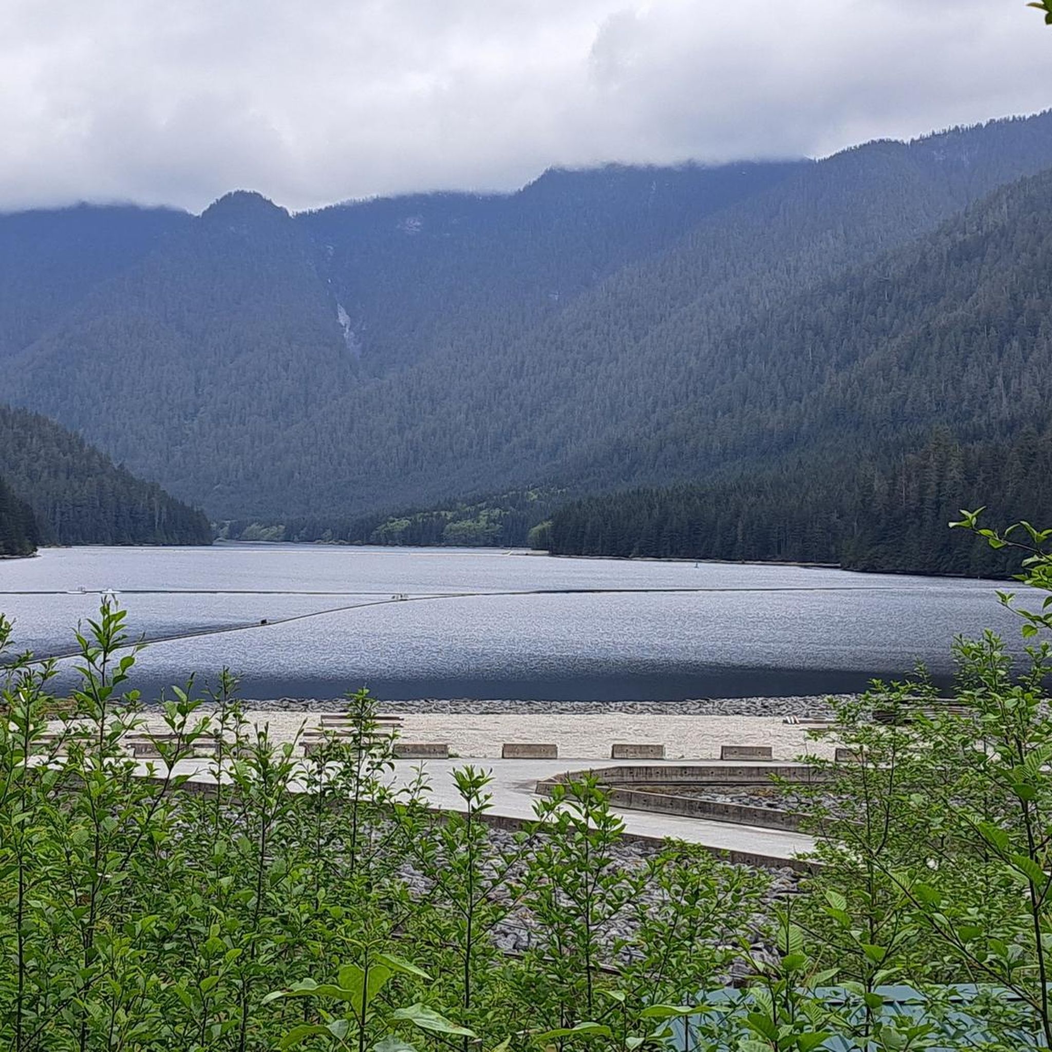
The trail that runs through the Seymour Demonstration Forest, or the Lower Seymour Conservation Reserve (https://metrovancouver.org/services/regional-parks/park/lower-seymour-conservation-reserve), is probably the most pleasant car-free paved trail in the Vancouver area. From the gazebo at the Rice Lake entrance to the gate at Seymour Dam, the path is 11 km long, with gentle rolling hills and curves. There are washrooms and a drinking fountain near the Rice Lake entrance. It is sometimes a few degrees chillier on this trail, even on a hot summer day, due to the trees, the elevation, and the valley that can trap a pocket of cool air. Cautions: - The road to the park is gated, and therefore inaccessible to cars, at night. - Throttle-actuated bikes are prohibited on the trail. - The trail has multiple speed gates with flexible bollards. - Since much of the trail is off-limits to cars and also out of range of cell phone service, be sure that your bike is in good working order, and that you are able to handle any likely mechanical issues. - Bears roam the area. (https://www.nsnews.com/local-news/glad-to-be-alive-man-t-bones-bear-while-cycling-in-north-vancouver-7015380)
2
0
Frequently Asked Questions
How many road cycling routes are available in Lower Seymour Conservation Reserve?
There are over 35 road cycling routes in the Lower Seymour Conservation Reserve, offering a wide range of experiences for different skill levels. The komoot community has explored these routes over 6,000 times.
What is the best time of year for road cycling in Lower Seymour Conservation Reserve?
The Lower Seymour Conservation Reserve is accessible year-round. However, for the most pleasant road cycling experience, spring through fall offers ideal conditions with milder weather. Winter cycling is possible, but be prepared for cooler temperatures and potentially wet conditions, as the area is known for its dense rainforest.
Are there family-friendly road cycling options in the reserve?
Yes, the Lower Seymour Conservation Reserve is excellent for family-friendly road cycling. The Seymour Demonstration Forest loop from North Vancouver is a moderate 14.7 km route with gentle rolling hills, making it suitable for families. The paved, car-free Seymour Valley Trailway is particularly popular for its safe and enjoyable ride through the forest.
What kind of natural landmarks or attractions can I see along the road cycling routes?
Road cycling routes in the reserve offer access to several natural landmarks. You can cycle towards the Seymour Dam, one of Vancouver's water reservoirs, and visit the Seymour Fish Hatchery nearby. Other notable features include the Seymour River Suspension Bridge and scenic views of Rice Lake. The routes are surrounded by towering western red cedar, Douglas fir, and hemlock rainforest.
What are the difficulty levels of road cycling routes in Lower Seymour Conservation Reserve?
The reserve offers a range of difficulty levels. You'll find 11 easy routes, 23 moderate routes, and 3 difficult routes. The paved Seymour Valley Trailway is generally considered easy with gentle rolling hills, while routes like Capilano Lake – Grouse Mountain Summit loop from Capilano University are moderate and require good fitness due to varied terrain and elevation changes.
Are there any loop trails for road cyclists?
Yes, many road cycling routes in the Lower Seymour Conservation Reserve are designed as loops. For instance, the popular Seymour Demonstration Forest loop from Blueridge is a 21.7 km moderate trail. Another option is the Seymour Lake Gazebo – Seymour Demonstration Forest loop from North Vancouver, which covers 30.9 km.
What do other road cyclists enjoy most about cycling in this area?
The Lower Seymour Conservation Reserve is highly rated by the komoot community, with an average score of 4.6 stars from over 100 reviews. Cyclists often praise the car-free environment of the Seymour Valley Trailway, the immersive experience of riding through dense rainforest, and the well-maintained paths that offer a peaceful and scenic ride.
Is parking available for road cyclists accessing the reserve?
Yes, parking is available at various access points to the Lower Seymour Conservation Reserve. The main entrance typically offers parking facilities, providing convenient access to the Seymour Valley Trailway and other routes. It's advisable to check specific access points for detailed parking information.
Can I bring my dog on the road cycling trails?
While the Lower Seymour Conservation Reserve is generally dog-friendly for activities like hiking, specific restrictions may apply to the paved Seymour Valley Trailway and other road cycling paths. It's best to check the official reserve guidelines regarding dog access on cycling trails to ensure compliance.
Are there places to eat or get refreshments near the reserve's cycling routes?
While the reserve itself focuses on natural conservation and has picnic areas with basic amenities, there are cafes and pubs in the nearby communities of North Vancouver, particularly closer to the entrance points. These establishments offer options for refreshments before or after your ride.
What is the elevation gain like on the main Seymour Valley Trailway?
The Seymour Valley Trailway is known for its gentle rolling hills, making it accessible for various fitness levels. While specific elevation data for the entire trailway isn't provided, the overall elevation changes within the reserve are generally under 200 meters, indicating a relatively mild gradient suitable for a comfortable ride.
Are there any viewpoints offering scenic vistas along the road cycling routes?
Yes, certain points within the reserve offer stunning views. While cycling, you might catch glimpses of Vancouver Harbour, Stanley Park, and the North Shore mountains. The area around Rice Lake also provides picturesque scenery.
Most popular routes in Lower Seymour Conservation Reserve
Most popular attractions in Lower Seymour Conservation Reserve

Get inspired with the komoot mobile app


Explore more
Browse the best Road cycling routes in other regions.
