The best MTB trails in Lower Seymour Conservation Reserve
4.4
(26)
1,915
riders
47
rides
Mountain biking in Lower Seymour Conservation Reserve offers an extensive network of trails across diverse terrain. The reserve encompasses dense rainforests, forested slopes, and river floodplains, providing varied ecosystems and physical features for mountain bikers. Its proximity to the coastal mountains ensures varied elevation changes and scenic routes, from wide gravel paths to challenging singletrack. This area is known for its well-maintained trails suitable for different skill levels.
Best mountain bike trails in Lower Seymour Conservation Reserve
- The most popular…
Last updated: October 8, 2026
5.0
(2)
82
riders
16.3km
02:12
710m
710m
Hard mountain bike ride. Good fitness required. Advanced riding skills necessary. Some portions of the route may require you to push your bike.
4.0
(2)
64
riders
8.46km
01:05
330m
330m
Hard mountain bike ride. Good fitness required. Advanced riding skills necessary. Some portions of the route may require you to push your bike.

6
riders
13.0km
01:28
410m
410m
Hard mountain bike ride. Good fitness required. Advanced riding skills necessary. Some portions of the route may require you to push your bike.
98
riders
10.5km
01:09
410m
420m
Hard mountain bike ride. Good fitness required. Advanced riding skills necessary. Some portions of the route may require you to push your bike.
3.0
(1)
125
riders
9.95km
01:07
400m
400m
Hard mountain bike ride. Good fitness required. Advanced riding skills necessary. Some portions of the route may require you to push your bike.
Get access to more routes and recommendations from other explorers.
Already have an account?
Our route recommendations are based on thousands of hikes, rides, and runs completed by other people on komoot.
Start today with a free account
Your next adventure awaits.
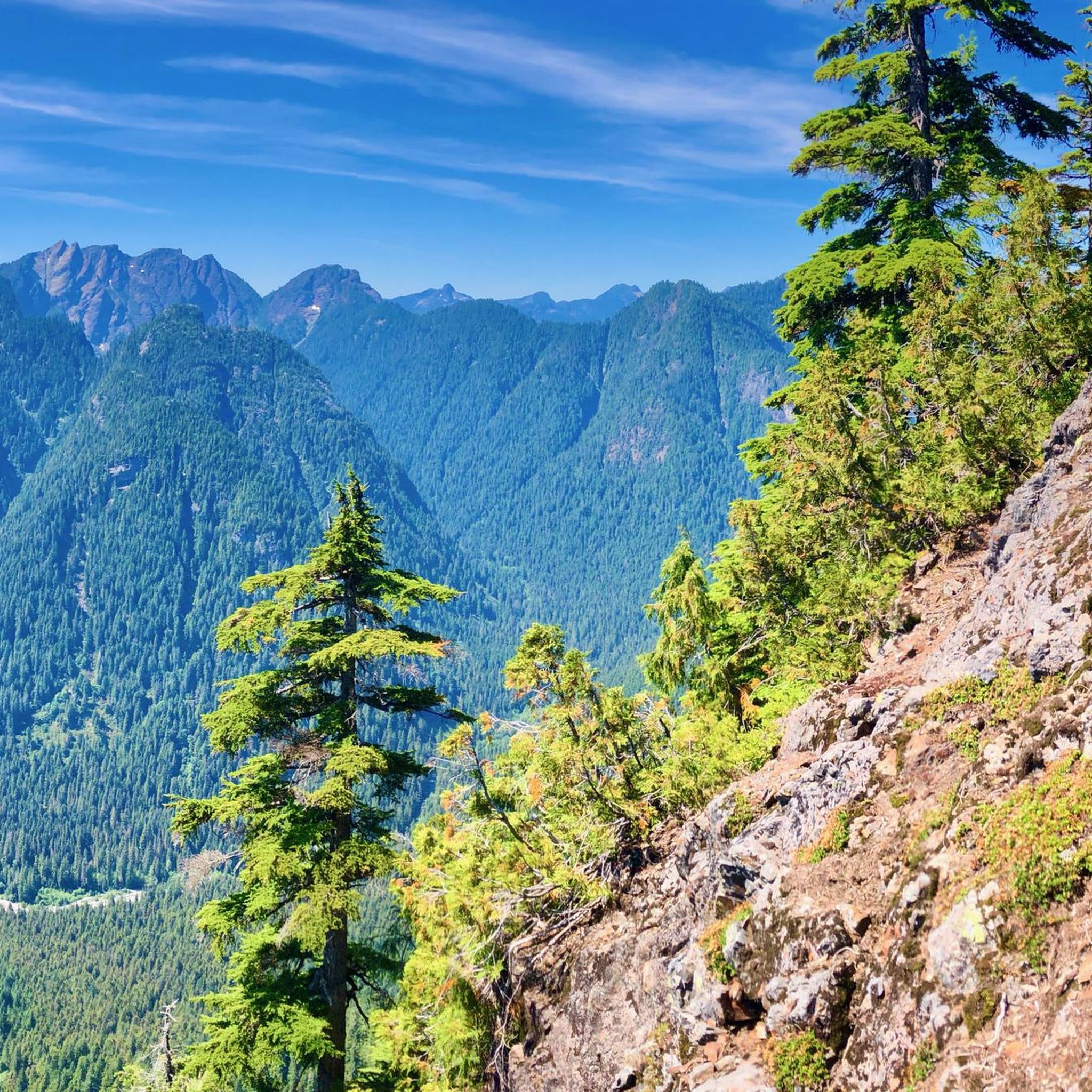
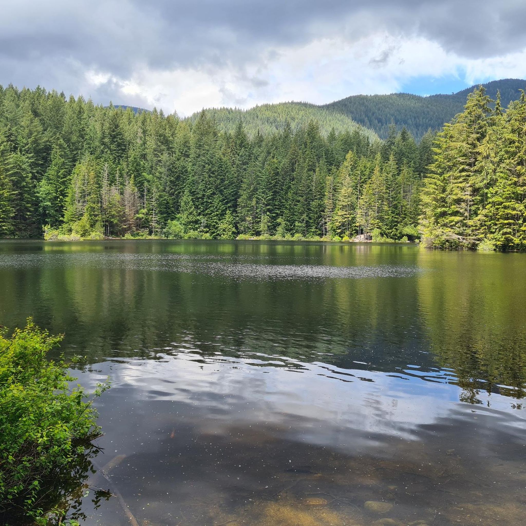
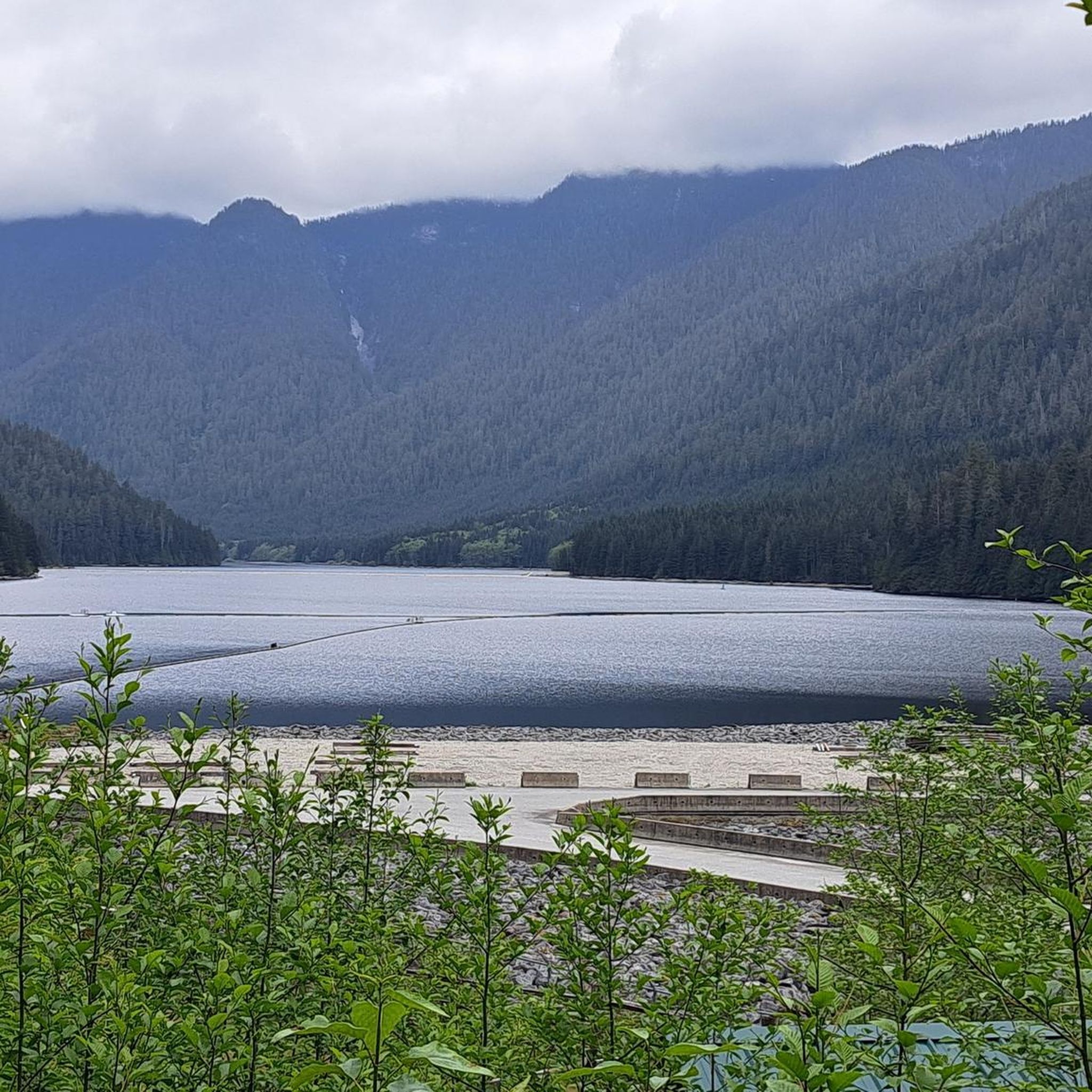
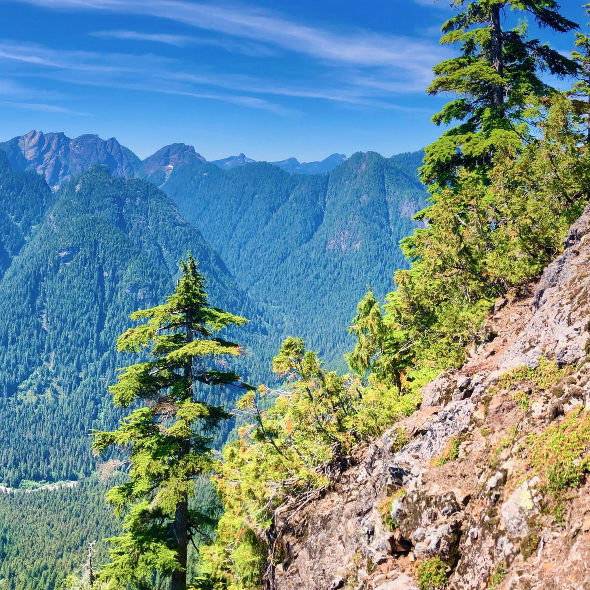
Tips from the Community

The Seymour River Suspension Bridge was completed and opened in December 2018. This made it possible to walk the Fisherman's Trail (North) all the way through again. After the former Twin Bridges had to be demolished in 2014 following a rockslide and damming of the Seymour River, there was no longer a crossing at this point in the Lower Seymour Conservation Reserve. The Twin Bridges were originally built in 1908 to carry pipelines and were later supplemented by a parallel pedestrian bridge. Years later, the two bridges were combined to form one bridge. https://www.vancouvertrails.com/blog/seymour-river-suspension-bridge/
2
0

This pedestrian and bicycle bridge crosses the Seymour River and is part of the region's network of trails and roads. Opened in 2018, the bridge is a modern structure designed to improve access and connectivity to surrounding natural areas, such as Lower Seymour Conservation Reserve Regional Park and Inter River Park. As well as being an attractive spot for walkers and cyclists, the bridge offers panoramic views of the river and its natural surroundings.
1
0

This is the least known suspension bridge on the north shore.
3
1

Bottle Top is a blue, fun trail with some loose sections. It's a perfect trail for beginner and intermediate riders.
1
0
Lower Ladies continues on the other side of the Baden Powell Trail where Ladies Only ends. A series of steep natural and some man-made technical features will increase your adrenaline level. Beginners better keep off the trail.
2
0
Great, technical trail with a bit more flow since the major overhall in 2013/2014. Watch the video to see what you can expect: https://www.youtube.com/watch?v=Ppqj1PCDKPk
1
0
Ladies Only is probably the most famous trail on Mount Fromme. Lots of tricky features challenge mountainbikers since 1992. It is also my personal favorite trail on the North Shore because is has a bit of everything: small rock faces, woodworks and a teeter totter. The trail will keep you excited from the top to the bottom. But one is for sure: Ladies Only is not for beginners.
2
0
Frequently Asked Questions
What types of mountain bike trails can I expect in Lower Seymour Conservation Reserve?
The Lower Seymour Conservation Reserve offers a diverse range of mountain biking experiences. You'll find everything from wide, accessible gravel paths suitable for cross-country riding to challenging off-road singletrack with technical sections. The terrain includes forested slopes and river floodplains, providing varied conditions for different skill levels.
Are there mountain bike trails suitable for beginners in Lower Seymour Conservation Reserve?
Yes, while many trails are challenging, the reserve also features easier paths. The 10km Seymour Valley Trailway, for instance, is a paved multi-use path that offers a calm ride through scenic forests, suitable for those looking for a less technical experience. For off-road options, look for trails described as 'easy' or 'moderate' on komoot.
How many mountain bike trails are available in Lower Seymour Conservation Reserve?
There are over 60 mountain bike trails documented in Lower Seymour Conservation Reserve on komoot, catering to various skill levels. This includes 5 easy, 14 moderate, and 44 difficult routes, ensuring a wide selection for all riders.
What are some of the more challenging mountain bike trails in the reserve?
For experienced riders seeking a challenge, trails like Top of GSM Trail – Severed D loop from Capilano University offer significant elevation gain and technical sections. Another difficult option is Floppy Bunny – Expresso Mountain Bike Trail loop from Grousewoods, which features demanding descents and climbs through varied forest terrain.
Are there any loop trails for mountain biking in Lower Seymour Conservation Reserve?
Yes, many of the mountain bike routes in the reserve are designed as loops. For example, the Bottle Top Trail loop from Blueridge is a moderate 7.2 km (4.5 miles) trail that takes you through forested slopes. Another challenging loop is Severed D – John Deer loop from Capilano University.
What natural features or landmarks can I see while mountain biking in the reserve?
The reserve is rich in natural beauty. You can encounter diverse ecosystems, from forested slopes to river floodplains. Notable attractions include the Seymour River Suspension Bridge, offering unique views, and the serene View of Rice Lake, a popular spot for picnicking. The Seymour River itself, with spots like Elbow Pool, is also a prominent feature.
What do other mountain bikers enjoy most about mountain biking in Lower Seymour Conservation Reserve?
The area is highly rated by the komoot community, with an average score of 4.2 stars from over 30 reviews. Reviewers often praise the extensive network of trails, the diverse terrain suitable for various skill levels, and the beautiful natural environment, including the dense forests and river views.
Is Lower Seymour Conservation Reserve suitable for family-friendly mountain biking?
Yes, the reserve offers options for families. The paved Seymour Valley Trailway is particularly suitable for a relaxed family ride. For off-road experiences, look for the 'easy' graded trails which are generally smoother and less technical, providing a good introduction to mountain biking for younger or less experienced family members.
Are dogs allowed on the mountain bike trails in Lower Seymour Conservation Reserve?
The Lower Seymour Conservation Reserve has specific rules regarding dogs to protect wildlife and ensure visitor safety. While dogs are generally permitted in certain areas, they must be on a leash. It's always best to check the official Metro Vancouver Parks website for the most current regulations regarding dog access on specific trails within the reserve.
What are the parking options for mountain bikers in Lower Seymour Conservation Reserve?
The reserve is known for its accessibility. There are various parking areas available at different entry points to the reserve. Specific parking information can often be found on detailed trail maps or through local park authority websites, helping you choose the most convenient starting point for your ride.
What is the best time of year to go mountain biking in Lower Seymour Conservation Reserve?
The Lower Seymour Conservation Reserve is open 365 days a year from dawn to dusk, making it accessible year-round. However, the best time for mountain biking is typically during the drier months from spring through fall when trails are less muddy and conditions are generally more favorable. Winter riding is possible, but trails can be wet and some higher elevation areas might experience snow.
Are there any cafes or food options near the mountain bike trails?
While the reserve itself is a natural conservation area, its proximity to North Vancouver means there are cafes and food establishments available in the surrounding communities. You'll find various options for refreshments and meals a short drive from the reserve's entry points.
Most popular routes in Lower Seymour Conservation Reserve
Most popular attractions in Lower Seymour Conservation Reserve

Get inspired with the komoot mobile app


Explore more
Browse the best MTB trails in other regions.
