The best cycling routes in Lower Seymour Conservation Reserve
4.6
(302)
4,088
riders
70
rides
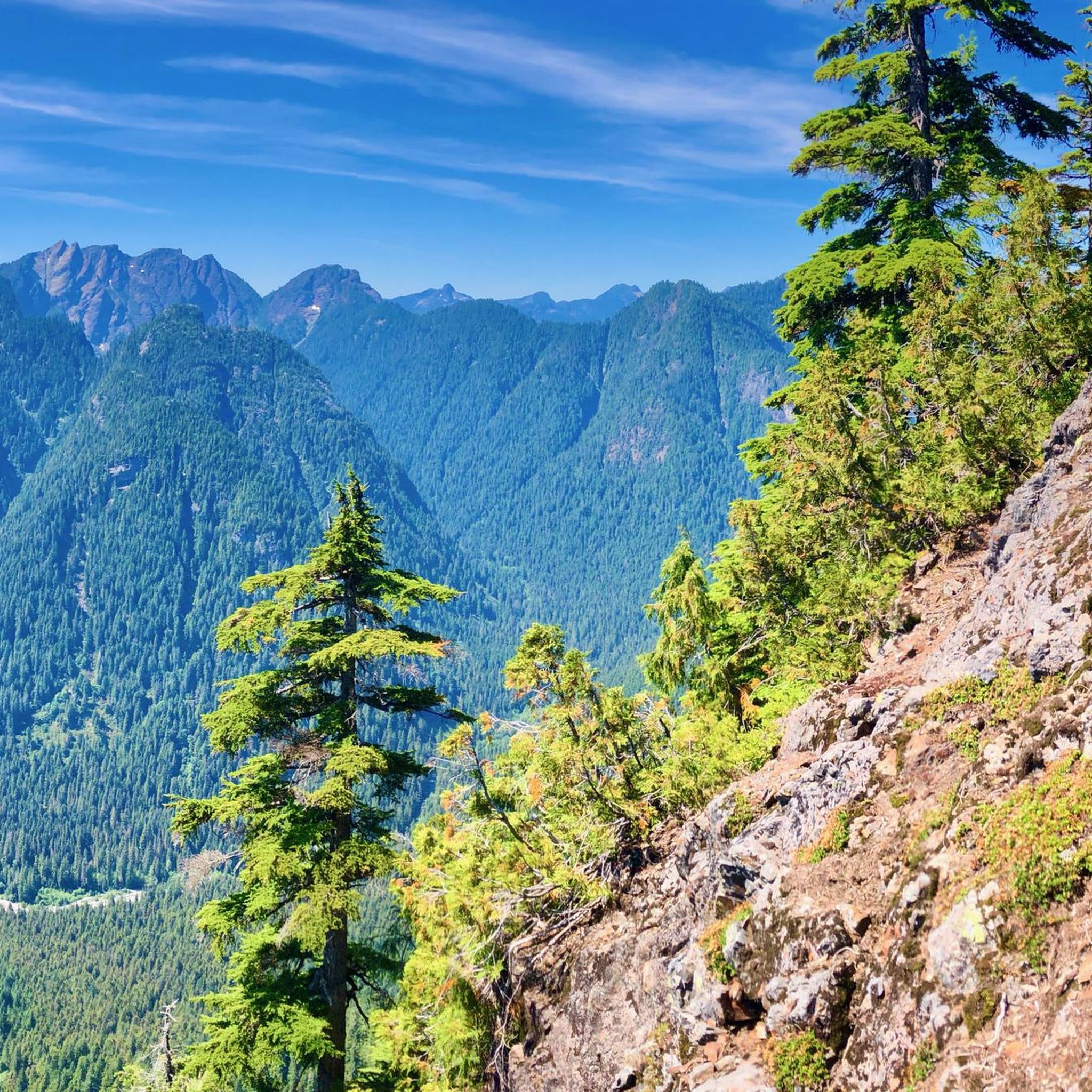
Touring cycling routes in Lower Seymour Conservation Reserve traverse a 5,668-hectare protected area characterized by diverse topography. The reserve features a network of paved and gravel trails winding through towering forests, offering scenic views of the Seymour River and its valley. Elevation changes vary across the area, from gentle rolling hills on paved paths to more rugged sections on multi-use trails.
Best touring cycling routes in Lower Seymour Conservation Reserve
- The most popular touring cycling route is Pipeline Bridge loop from Lynn Valley, a 5.0 miles (8.0 km) trail that takes about 50 minutes to complete. This route offers a moderate cycling experience through forested areas.
- Another top favourite among local touring cyclists is Bike loop from Blueridge, a moderate 5.4 miles (8.6 km) path. This trail provides a ride through varied terrain with some elevation gain.
- Local touring cyclists also love the Bridgeman Park Bridge loop from Seymour Heights, an 11.7 miles (18.8 km) trail leading through parkland and along waterways, often completed in about 1 hour 11 minutes.
- Touring cycling in Lower Seymour Conservation Reserve is defined by towering forests, river valley views, and a mix of paved and gravel paths. The network offers options for various ability levels, from relaxed rides to more challenging routes.
- The routes in Lower Seymour Conservation Reserve are highly rated by the komoot community with an average score of 4.6 stars from over 230 reviews. More than 4000 touring cyclists have used komoot to explore Lower Seymour Conservation Reserve's varied terrain.
Last updated: October 8, 2026
7
riders
8.09km
00:50
180m
180m
Moderate bike ride. Good fitness required. Mostly paved surfaces. Suitable for all skill levels.
7
riders
9.05km
00:58
250m
250m
Moderate bike ride. Good fitness required. Mostly paved surfaces. Suitable for all skill levels.

7
riders
7.90km
00:44
150m
150m
Hard bike ride. Good fitness required. You may need to push your bike for some segments of this route.
16
riders
16.4km
01:03
180m
180m
Moderate bike ride. Good fitness required. Mostly paved surfaces. Suitable for all skill levels.
59
riders
Moderate bike ride. Good fitness required. Mostly paved surfaces. Suitable for all skill levels.
Get access to more routes and recommendations from other explorers.
Already have an account?
Our route recommendations are based on thousands of hikes, rides, and runs completed by other people on komoot.
Start today with a free account
Your next adventure awaits.
Popular around Lower Seymour Conservation Reserve
Tips from the Community

Parkgate Park is a handy green launchpad near Mount Seymour, with playgrounds, sports fields, picnic spots, and a skatepark for an easy outdoor break. It also connects well with local walking routes and bigger North Shore adventures, including access toward the Baden-Powell network and Old Buck Trail.
0
0

The Lynn Canyon suspension bridge is 40 metres long and was originally built in 1912. It is wide enough for two people to pass each other and is suspended 50 metres above the clear waters of Lynn Creek. The bridge will sway and shake, but take a peek over the edge for a breathtaking view.
1
0

A really beautiful place to walk.
3
0
Scary! It's wobbling everywhere.
3
0
Just north a few yards form here across Main Street is Phibbs Exchange, a large bus terminal. It's a great place to get off to hike or bike across the Second Narrows Bridge Trail if you don't have access to a car.
0
0


The Seymour River Suspension Bridge was completed and opened in December 2018. This made it possible to walk the Fisherman's Trail (North) all the way through again. After the former Twin Bridges had to be demolished in 2014 following a rockslide and damming of the Seymour River, there was no longer a crossing at this point in the Lower Seymour Conservation Reserve. The Twin Bridges were originally built in 1908 to carry pipelines and were later supplemented by a parallel pedestrian bridge. Years later, the two bridges were combined to form one bridge. https://www.vancouvertrails.com/blog/seymour-river-suspension-bridge/
2
0
The Pipeline Bridge is a pedestrian bridge over Lynn Creek, offering views of the creek in the gorge. The bridge was built in 1993 and serves as one of the park entrances to Lynn Canyon Park and Rice Lake in the Lower Seymour Conservation Reserve. The bridge was built over existing pipelines. A few meters upstream is the Old Pipe Bridge, which is not open to the public.
3
0
Frequently Asked Questions
How many touring cycling routes are available in Lower Seymour Conservation Reserve?
The Lower Seymour Conservation Reserve offers a wide selection of touring cycling routes, with over 80 options available. These routes cater to various skill levels, including easy, moderate, and some more challenging paths.
What kind of terrain can I expect on touring cycling routes in Lower Seymour Conservation Reserve?
You'll find a diverse range of terrain. The reserve features a network of paved and gravel trails winding through towering forests. The Pipeline Bridge loop from Lynn Valley, for example, offers a moderate experience through forested areas. While some paths have gentle rolling hills, others, like sections of the multi-use trails, can present more rugged terrain and elevation changes.
Are there any family-friendly touring cycling routes in the reserve?
Yes, the Lower Seymour Conservation Reserve is well-suited for families. The Seymour Valley Trailway, a paved, car-free road, is particularly popular for its smooth surface and gentle inclines, making it ideal for a relaxed family ride. Many of the 28 easy routes available are also suitable for families.
What are some notable natural features or landmarks I can see while cycling?
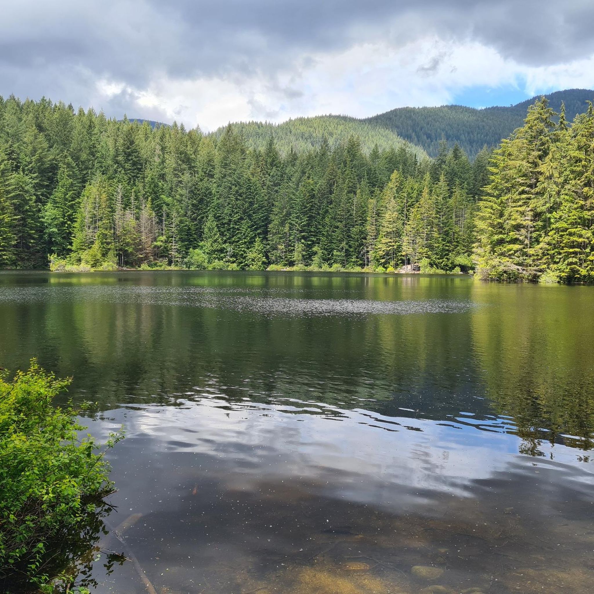
While cycling, you can experience towering forests and scenic views of the Seymour River and its valley. Points of interest include the Seymour River Suspension Bridge and the beautiful View of Rice Lake. The journey towards the Seymour Dam also offers picturesque scenery, and you might encounter other suspension bridges along the way.
Are there any loop trails for touring cyclists?
Yes, many touring cycling routes in the reserve are designed as loops, offering a convenient way to explore without retracing your steps. Popular loop options include the Bike loop from Blueridge and the Bridgeman Park Bridge loop from Seymour Heights, which leads through parkland and along waterways.
How can I get to Lower Seymour Conservation Reserve using public transport?
The Lower Seymour Conservation Reserve is accessible by public transit from Vancouver, making it convenient for those without a car. You can check local transit schedules for the best routes to the reserve's entry points.
Where can I park my car when visiting for cycling?
Parking is available at various access points to the reserve. The Rice Lake parking lot is a common starting point, especially for those looking to access the Seymour Valley Trailway. There are other designated parking areas throughout the reserve.
What is the best time of year to go touring cycling in the reserve?
The Lower Seymour Conservation Reserve is open year-round from dawn to dusk. At lower elevations, trails generally remain snow-free through most of the winter, making it a consistent option for cycling. Spring, summer, and fall offer pleasant conditions with lush scenery.
Are there options for less experienced touring cyclists?
Absolutely. The reserve has 28 easy touring cycling routes, perfect for beginners or those seeking a relaxed ride. The Seymour Valley Trailway is particularly recommended for its paved, car-free surface and gentle profile, providing an enjoyable experience for all skill levels.
What do other cyclists enjoy most about touring in Lower Seymour Conservation Reserve?
The area is highly rated by the komoot community, with an average score of 4.6 stars from over 230 reviews. Cyclists often praise the diverse network of trails, the immersive experience of cycling through towering forests, and the scenic views of the Seymour River. The availability of well-maintained paved and gravel paths for various abilities is also frequently highlighted.
Can I find places to rest or picnic along the routes?
Yes, the reserve is well-equipped with amenities for cyclists. You'll find several well-maintained picnic sites conveniently located every few kilometers along routes like the Seymour Valley Trailway. These spots often include outhouses, benches, and tables, providing perfect opportunities for mid-ride breaks and refreshments.
Are there any longer touring cycling routes for a more extended ride?
For those looking for a longer ride, routes like the Bridgeman Park Bridge – 3rd Street Bike Bridge loop from Hoskin Rd (SB) at Dempsey Rd offer a substantial distance of over 23 kilometers, providing a more extended touring experience through varied landscapes.
Are dogs allowed on the touring cycling routes?
The Lower Seymour Conservation Reserve is generally dog-friendly, but specific rules may apply to certain areas or trails. It's always best to keep dogs on a leash and ensure you clean up after them to maintain the natural environment for all visitors.
Most popular routes in Lower Seymour Conservation Reserve
Most popular attractions in Lower Seymour Conservation Reserve

Get inspired with the komoot mobile app


Explore more
Browse the best Cycling routes in other regions.
