The best road cycling routes in Riserva Naturale Alto Merse
4.6
(109)
7,744
riders
73
rides
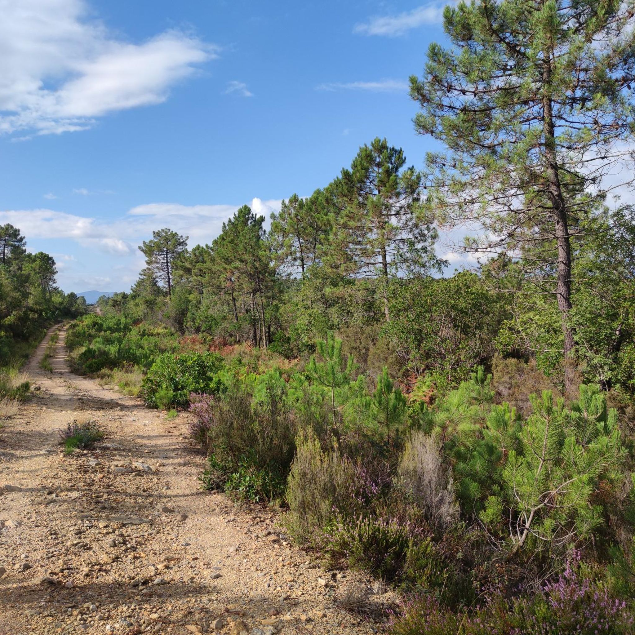
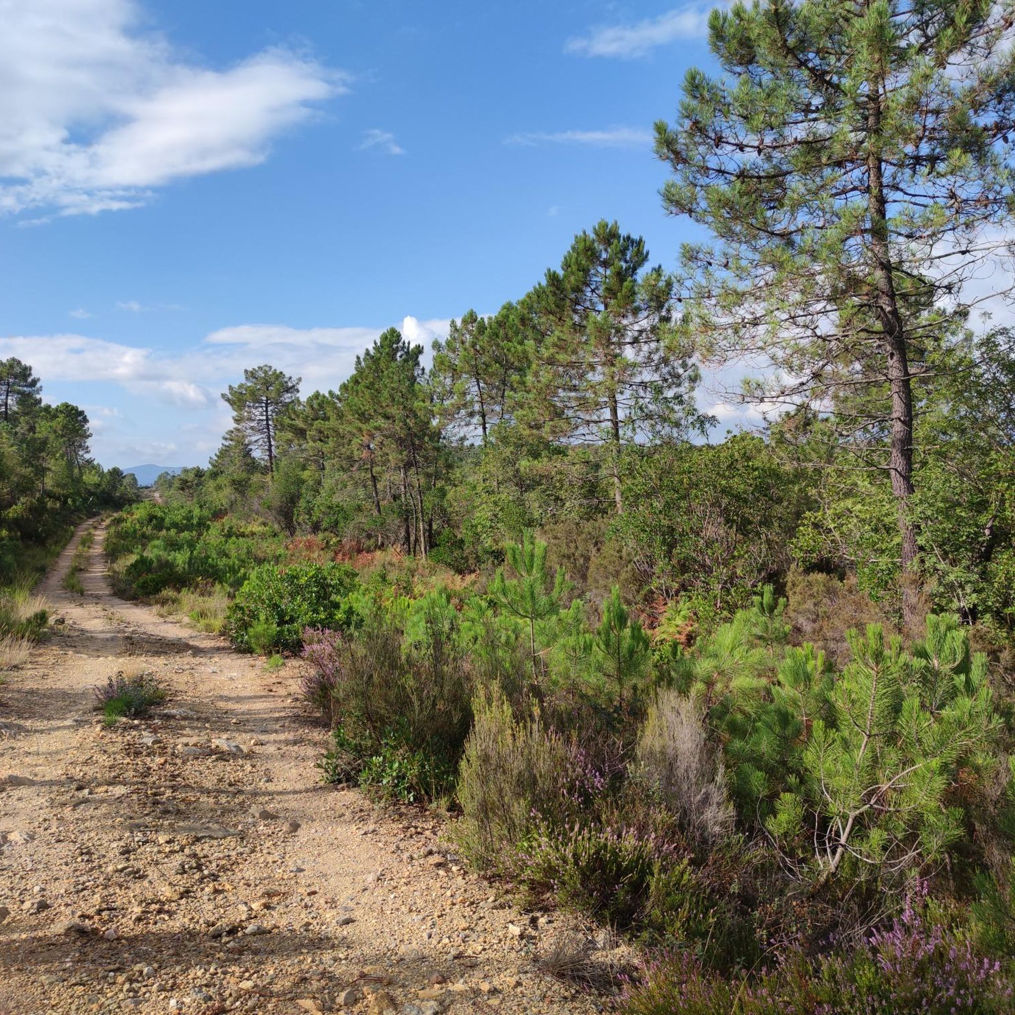
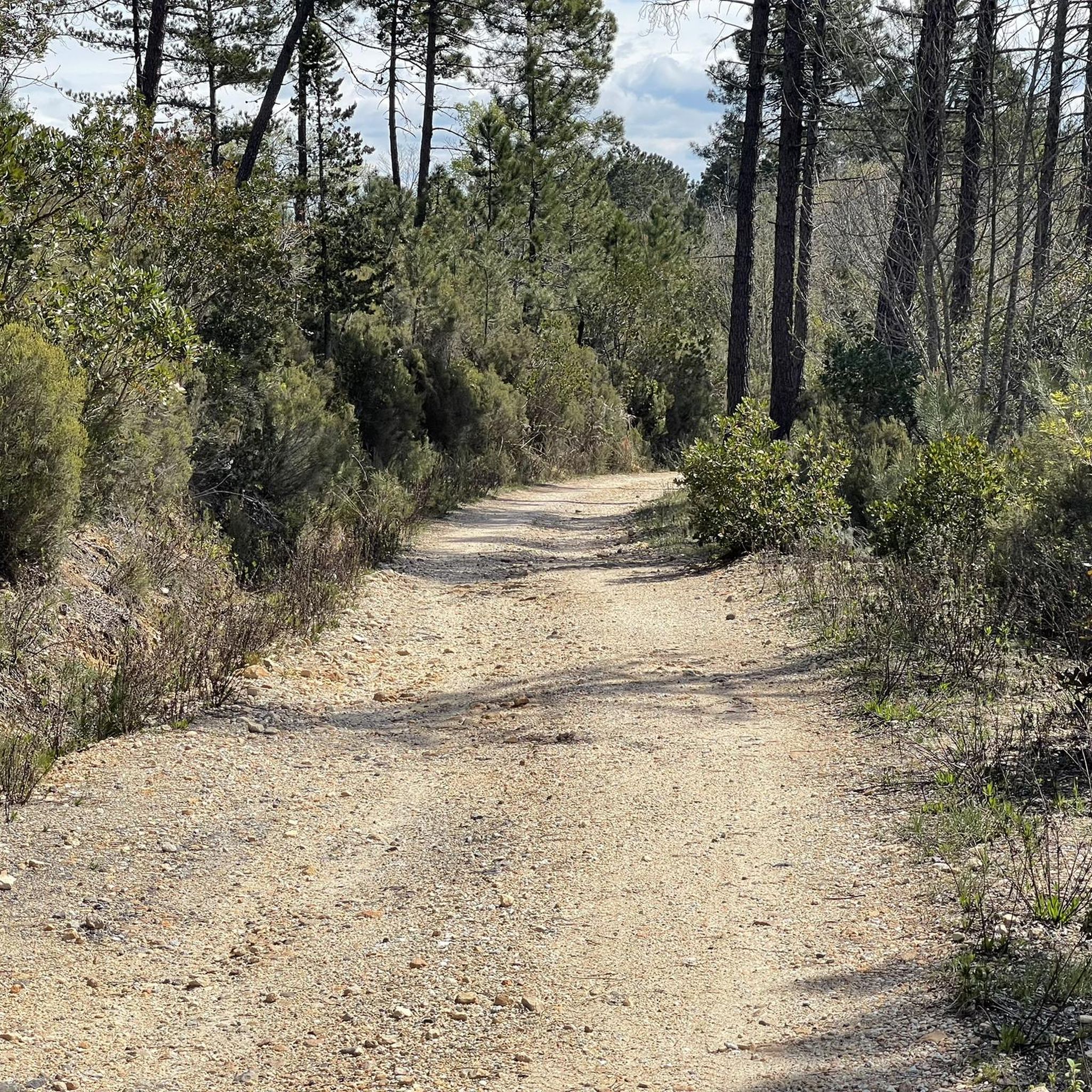
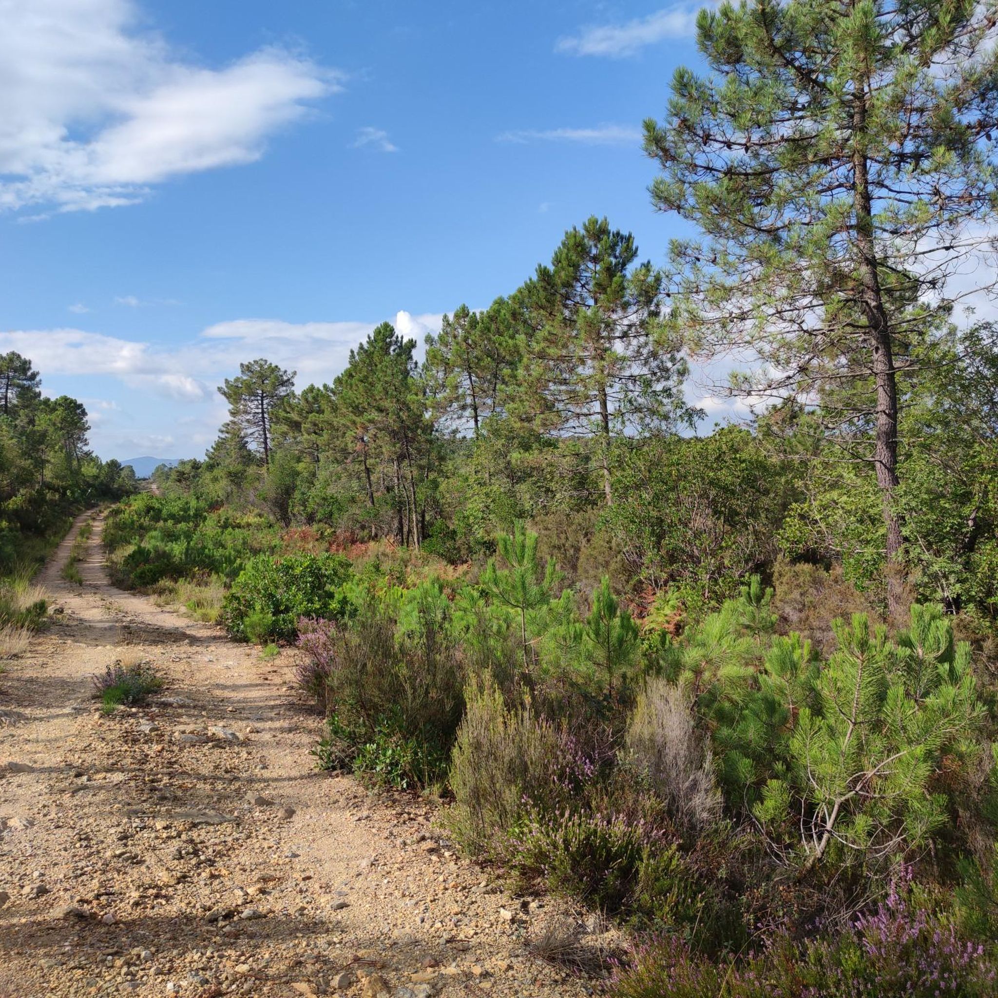
Road cycling in Riserva Naturale Alto Merse offers diverse terrain across lush forests, clear river valleys, and rolling hills southwest of Siena. The region features extensive oak and chestnut woodlands and waterways like the Merse River. Many routes utilize paved secondary roads with low traffic, making them suitable for road bikes. The area also includes historical sites and medieval villages, providing varied landscapes for cyclists.
Best road cycling routes in Riserva Naturale Alto Merse
- The most popular road cycling route is Chiusdino – Scenic Route to Chiusdino loop from Hapimag Parkplatz P1, a 23.5 miles (37.9 km) trail that takes 2 hours 1 minute to complete. This moderate route offers scenic views around the historic village of Chiusdino.
- Another top favourite among local road cyclists is Casole d'Elsa – Volterra loop from Hapimag Parkplatz P1, a difficult 97.1 miles (156.4 km) path. This challenging route connects several medieval towns, providing extensive Tuscan landscapes.
- Local road cyclists also love the Casole d'Elsa – Duomo di San Gimignano loop from Hapimag Parkplatz P1, a 67.4 miles (108.4 km) trail leading through rolling hills and towards the iconic towers of San Gimignano, often completed in about 5 hours 10 minutes.
- Road cycling in Riserva Naturale Alto Merse is defined by lush forests, river valleys, and medieval villages. The network offers options for easy, moderate, and difficult ability levels.
- The routes in Riserva Naturale Alto Merse are highly rated by the komoot community with an average score of 4.6 stars from over 70 reviews. More than 6000 road cyclists have used komoot to explore Riserva Naturale Alto Merse's varied terrain.
Last updated: October 25, 2026
5.0
(7)
87
riders
63.9km
03:02
880m
880m
Moderate road ride. Good fitness required. Mostly well-paved surfaces and easy to ride.
21
riders
32.0km
01:45
530m
530m
Moderate road ride. Good fitness required. Some segments of this route may be unpaved and difficult to ride.

28
riders
41.8km
02:04
630m
630m
Moderate road ride. Good fitness required. Mostly well-paved surfaces and easy to ride.
4.3
(4)
39
riders
50.8km
02:26
630m
630m
Moderate road ride. Good fitness required. Some segments of this route may be unpaved and difficult to ride.
10
riders
107km
05:28
1,820m
1,820m
Hard road ride. Very good fitness required. Mostly well-paved surfaces and easy to ride.
Get access to more routes and recommendations from other explorers.
Already have an account?
Our route recommendations are based on thousands of hikes, rides, and runs completed by other people on komoot.
Start today with a free account
Your next adventure awaits.

Tips from the Community

more here: https://igmi.esercito.difesa.it/descrizione-prodotti/elementi-geodetici/#alta-precisione
0
0
further info here: https://www.assoporti.it/sites/www.assoporti.it/files/eventiEsterni/Pierozzi.pdf
0
0

The historic center of Chiusdino is a charming, fortified medieval village perched on the Sienese Metalliferous Hills. It preserves its ancient urban structure with stone alleys, red and white houses in pure Sienese style, and offers a spectacular panoramic view of the Val di Merse. The village is deeply linked to the figure of Saint Galgano, the famous knight who became a hermit.
0
0

From Chiusdino, you can enjoy a magnificent and wide view of the green Val di Merse, a Tuscan territory made of wooded hills and clear rivers. From the panoramic terraces of the medieval village, your gaze sweeps over the valley below, where dense woods and the symbolic places of local history stand out.
0
0
The Leopoldina Column (also called the Lorraine column) is an imposing neoclassical signpost structure made of stone and cast iron. It was commissioned in 1840 by the Grand Duke of Tuscany Leopold II of Lorraine. It served to indicate directions and distances along the ancient "royal roads" of the Grand Duchy. Today, only 18 historical examples of these columns survive throughout Tuscany. They represent an exceptional example of enlightened infrastructure and pre-Liberty design.
0
0
The medieval village of Prata (part of Massa Marittima) is located at an altitude of 620 meters. From its dominant position on the Colline Metallifere, it offers a 360-degree panorama ranging from the summit of Monte Amiata to the Gulf of Follonica, even offering views of the Island of Elba and, on the clearest days, Corsica.
0
0
Le Roste are striking reddish badlands located in the upper valley of the Merse river, near Boccheggiano (in the municipality of Montieri). Although they look like natural formations, they are actually artificial deposits of mining waste, sculpted over decades by the elements. These geological and landscape mounds have formed through very specific dynamics: Mining origin: The materials derive from the sorting and open-air roasting of chalcopyrite, a mineral extracted in the nearby Merse Mine. The red color: The characteristic vivid coloration is due to the high concentration of copper and iron sulfates. Erosion: In the decades following the closure of the plant (which occurred in the early twentieth century), rain and wind have eroded these mounds, creating pinnacles and gullies reminiscent of American canyons.
1
0
Sovicille is an Italian municipality in the province of Siena in Tuscany, located about 10 kilometers west of the provincial capital, in the suggestive territory of Val di Merse and at the foot of the Montagnola Senese. With a population of almost 10,000 inhabitants, it is famous for being one of the areas in the region with the highest concentration of medieval villages, Romanesque churches, castles, and imposing patrician villas.
0
0
Frequently Asked Questions
How many road cycling routes are available in Riserva Naturale Alto Merse?
There are over 70 road cycling routes in Riserva Naturale Alto Merse, offering a wide range of options for different skill levels. This includes 6 easy routes, 35 moderate routes, and 36 difficult routes.
What kind of terrain can I expect on road cycling routes in Riserva Naturale Alto Merse?
The region offers diverse terrain, from lush forests and clear river valleys to rolling hills. Most routes utilize paved secondary roads with low traffic, ideal for road bikes. However, some longer tours, like the Grand Tour of the Val di Merse, may include short gravel sections, some of which are part of the professional Strade Bianche or Eroica routes. Cyclists can often find alternatives to bypass these dirt sections if preferred.
What historical landmarks or natural features can I see along the road cycling routes?
Road cycling routes in Riserva Naturale Alto Merse often pass by significant historical and natural sites. You can explore ancient ironworks and mills, or visit the Roman-origin Ponte della Pia, mentioned in Dante's Divine Comedy. The Hermitage of Santa Lucia is also accessible via scenic routes. For nature lovers, the Merse River Trail offers a chance to immerse yourself in the local biodiversity.
Are there any challenging road cycling routes for experienced cyclists?
Yes, Riserva Naturale Alto Merse offers several challenging routes. For instance, the Casole d'Elsa – Volterra loop from Hapimag Parkplatz P1 is a difficult 156 km path with significant elevation gain, connecting several medieval towns. Another demanding option is the Casole d'Elsa – Duomo di San Gimignano loop from Hapimag Parkplatz P1, a 108 km trail through rolling hills.
Are there options for easier or beginner-friendly road cycling?
Yes, the region provides options for easier rides. There are 6 routes classified as 'easy' in Riserva Naturale Alto Merse. These routes typically feature less elevation gain and shorter distances, making them suitable for beginners or those seeking a more relaxed ride.
What is the best time of year for road cycling in Riserva Naturale Alto Merse?
The Riserva Naturale Alto Merse is generally pleasant for road cycling during spring and autumn. These seasons offer milder temperatures and beautiful scenery, with spring bringing blooming wildflowers and autumn showcasing vibrant foliage. Summer can be hot, especially in July and August, while winter might be cooler and wetter.
Are the road cycling routes in Riserva Naturale Alto Merse suitable for families?
Many of the paved secondary roads in Riserva Naturale Alto Merse have low traffic, which can make them suitable for families. While specific 'family-friendly' routes are not explicitly designated, the 6 easy routes available would be the most appropriate starting point for families looking for less strenuous rides.
Can I bring my dog on the road cycling routes?
While the natural environment of Riserva Naturale Alto Merse is welcoming, specific regulations regarding dogs on cycling routes can vary. Generally, dogs are permitted on public roads and trails if kept on a leash. It's always advisable to ensure your dog is comfortable with cycling speeds and traffic, and to carry water for them.
Is parking available for cyclists in Riserva Naturale Alto Merse?
Yes, parking is generally available in and around the medieval villages and starting points of many routes. For example, routes often start from locations like 'Hapimag Parkplatz P1', indicating designated parking areas for visitors.
Are there places to stop for refreshments or accommodation along the routes?
Yes, the medieval villages scattered throughout the region, such as Chiusdino, Monticiano, Murlo, Sovicille, Casole d'Elsa, and Radicondoli, offer services for cyclists. These villages typically provide water fountains, cafes, restaurants, and accommodation options. Some even have e-bike charging stations.
What do other road cyclists enjoy the most about road cycling in Riserva Naturale Alto Merse?
The area is highly rated by the komoot community, with an average score of 4.6 stars from over 70 reviews. Cyclists often praise the diverse terrain, the authentic Tuscan landscapes, and the quiet, low-traffic paved roads that wind through lush forests and past charming medieval villages. The combination of natural beauty and historical sites makes for a very engaging ride.
Are there any circular road cycling routes in the region?
Yes, many of the road cycling routes in Riserva Naturale Alto Merse are designed as loops, allowing you to start and end in the same location. An example is the Chiusdino – Scenic Route to Chiusdino loop from Hapimag Parkplatz P1, which offers scenic views around the historic village of Chiusdino.
What is the 'Grand Tour of the Val di Merse' and is it suitable for road bikes?
The 'Grand Tour of the Val di Merse' is a notable permanent cycling route in the region, approximately 173 kilometers long with a 3100-meter elevation gain. It is mostly on paved secondary roads with low traffic, making it ideal for road bikes. However, it does include some gravel sections, two of which correspond to the professional Strade Bianche race route and one to the Eroica route. Cyclists using road bikes are advised that alternatives are available to bypass these dirt road sections if preferred. You can find more information about this tour on Visit Tuscany.
Most popular routes in Riserva Naturale Alto Merse
Most popular attractions in Riserva Naturale Alto Merse

Get inspired with the komoot mobile app


Explore more
Browse the best Road cycling routes in other regions.
