The best walks and hikes in Saarn-Mendener Ruhraue
4.5
(38872)
155,431
hikers
13
hikes
Hiking trails in Saarn-Mendener Ruhraue are situated within a nature reserve spanning approximately 156 hectares in Mülheim an der Ruhr. The area is characterized by valuable floodplain locations along the Ruhr river, encompassing old river arms, wetlands, and groves. This diverse biotope complex provides a significant natural space for outdoor activities. The terrain includes riverine landscapes and various water bodies, offering varied walking experiences.
Best hiking trails in Saarn-Mendener Ruhraue
- The most popular hiking route is Heaven's Ladder (Forstbachtal) –…
Last updated: July 8, 2026
4.7
(99)
344
hikers
Moderate hike. Good fitness required. Easily-accessible paths. Suitable for all skill levels.
4.8
(148)
554
hikers
Moderate hike. Good fitness required. Easily-accessible paths. Suitable for all skill levels.

Sign up for free
4.8
(14)
153
hikers
Easy hike. Great for any fitness level. Easily-accessible paths. Suitable for all skill levels.
4.4
(12)
113
hikers
2.38km
00:36
10m
10m
Easy hike. Great for any fitness level. Easily-accessible paths. Suitable for all skill levels.
4.4
(10)
65
hikers
Easy hike. Great for any fitness level. Easily-accessible paths. Suitable for all skill levels.
Get access to more routes and recommendations from other explorers.
Sign up for free
Already have an account?
Our route recommendations are based on thousands of hikes, rides, and runs completed by other people on komoot.
Start today with a free account
Your next adventure awaits.
Login or Signup
Tips from the Community

A tranquil wooden bridge over the stream, offering a beautiful backdrop for walkers and cyclists. Today's mouth is located directly opposite the Mülheim City Hall. The Rumbach originates in Essen-Haarzopf, initially flows naturally through Holthausen, and is laid underground from Walkmühlenstraße. Historically, due to frequent floods, the stream was channelized in Mülheim's city center in the 19th century.
1
0

The Ruhrtalbrücke is a landmark from all sides and a beautiful photo motif
0
0


Beautifully constructed staircase on the hiking trail through the Rumbach valley
0
0
Beautiful path for pedestrians and cyclists through the Menden Ruhr meadows.
0
0

For the ferry ride, which is actually a White Fleet ride (1 stop), plan extra time and check the timetable beforehand, otherwise you may end up waiting for an hour.
1
0


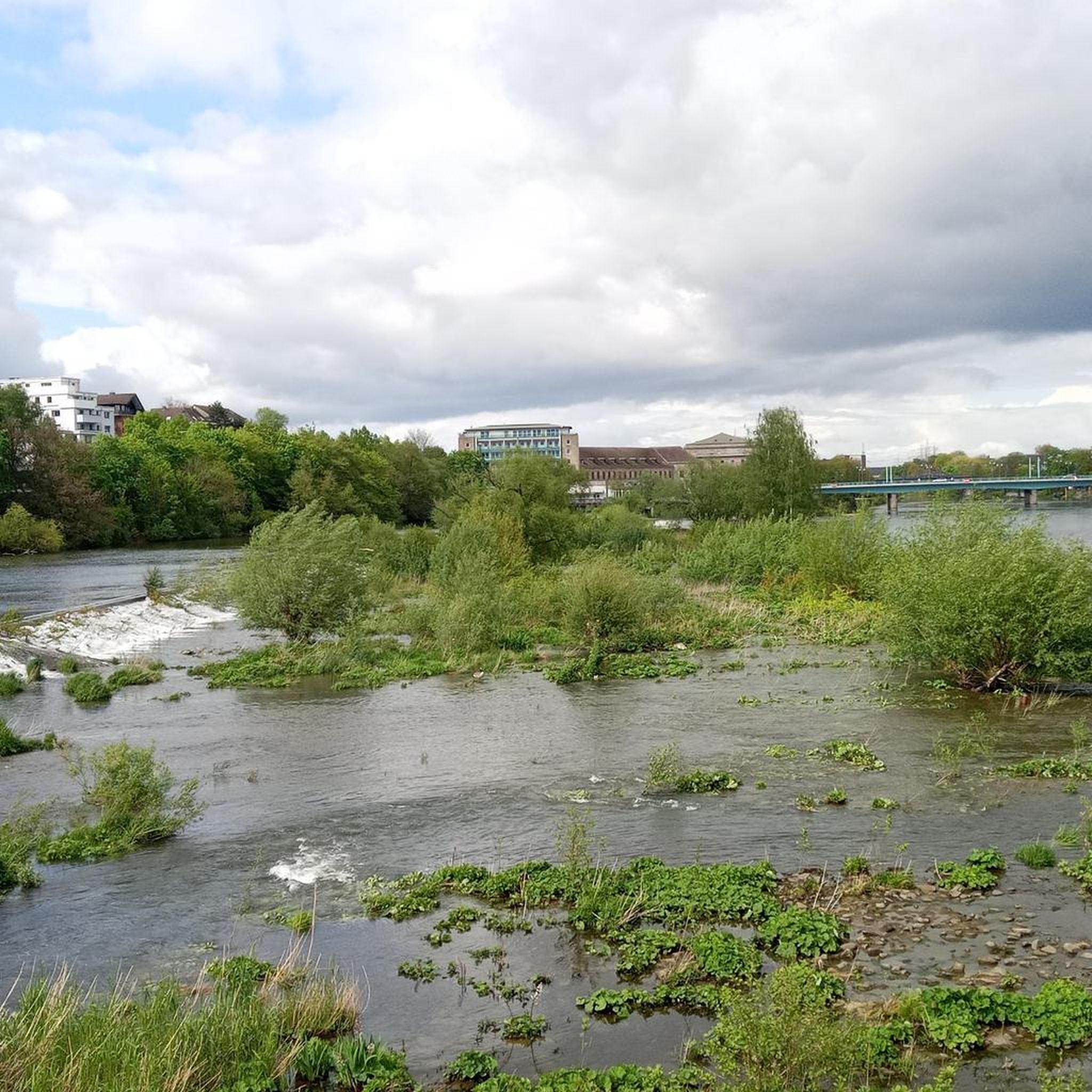
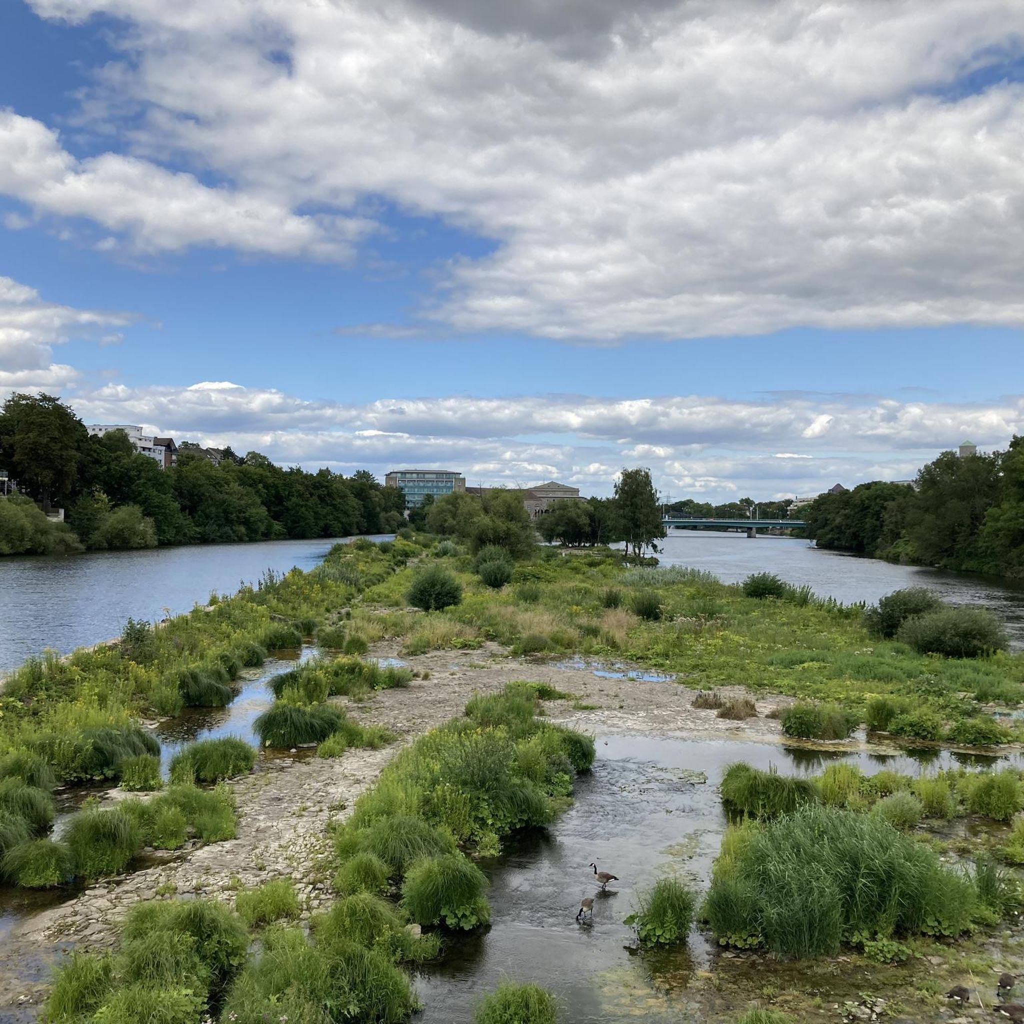
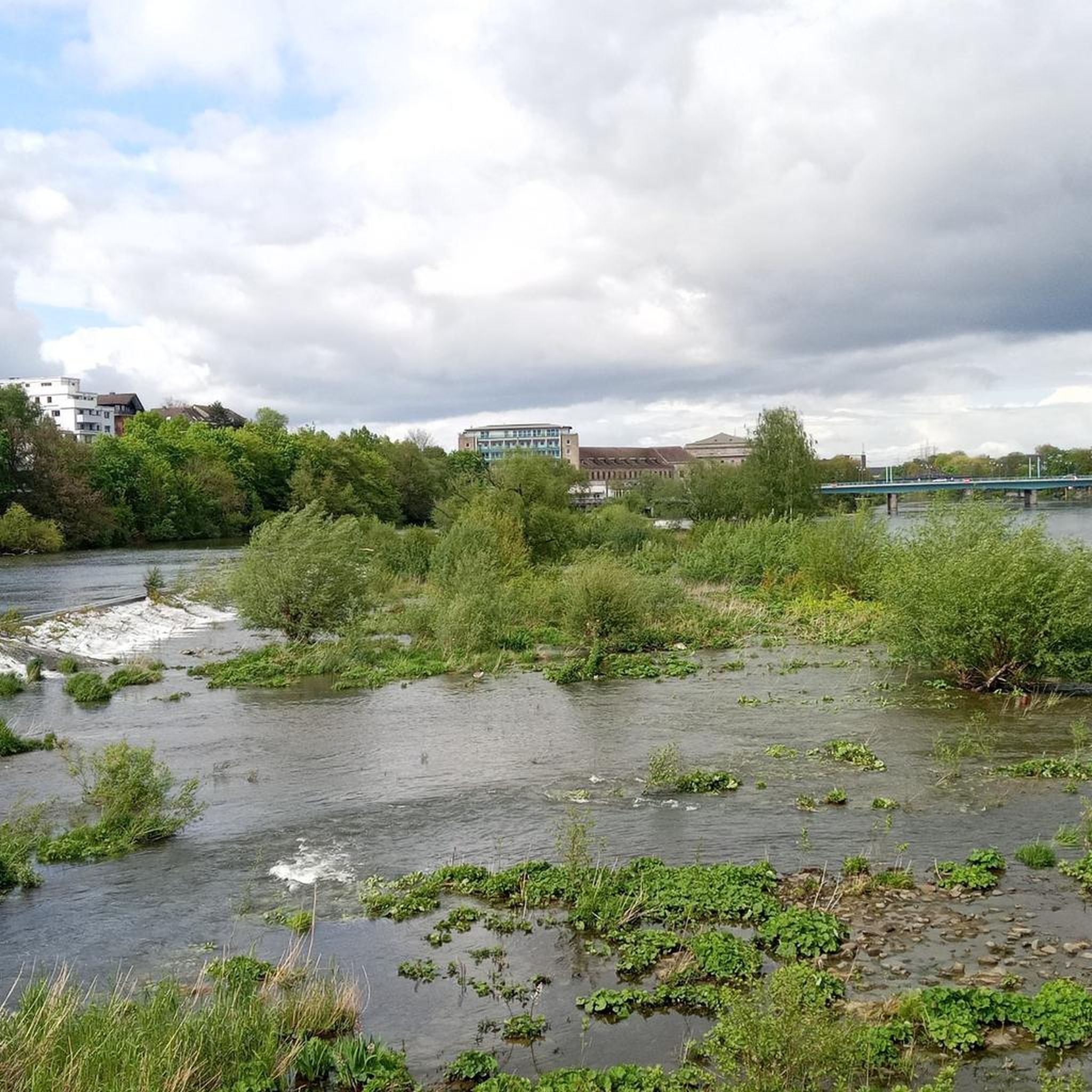
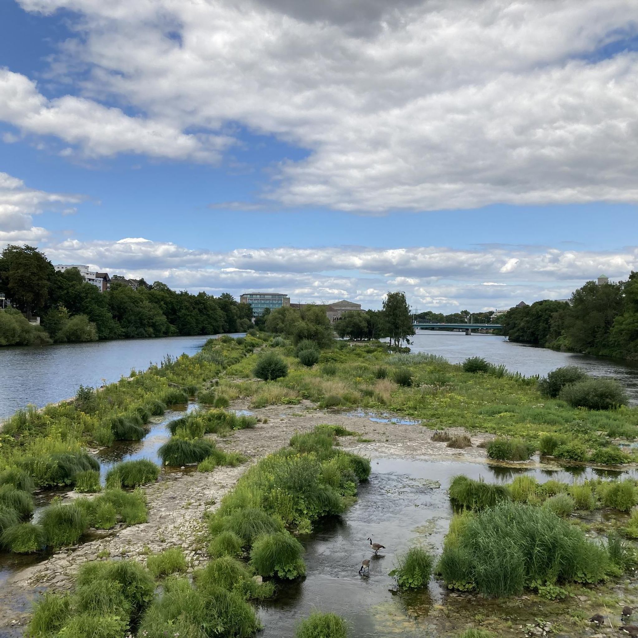
Saarner Aue – A Natural Paradise on the Ruhr The Saarner Aue in Mülheim is a vast nature reserve along the Ruhr River. It offers a mixture of riparian forests, wet meadows, old river branches, ponds, and the renaturalized Mühlenbach stream. A wide variety of animals live here – including kingfishers, grey herons, swans, ducks, and dragonflies. Despite its proximity to the city, the floodplain remains a quiet, natural retreat. The Ruhr Valley Cycle Path and other trails lead through the floodplain – ideal for walks, bike rides, and nature observation. If you're lucky, you might even spot a kingfisher. Important: The Saarner Aue is not a park, but a sensitive ecosystem. Do not leave the paths, keep dogs on leashes, and do not leave any litter behind – consideration is a must here.
0
0
Frequently Asked Questions
How many hiking trails are available in Saarn-Mendener Ruhraue?
There are over 10 hiking trails in Saarn-Mendener Ruhraue, offering a variety of experiences. These include 9 easy routes and 4 moderate options, ensuring there's something for every ability level.
What kind of terrain can I expect when hiking in Saarn-Mendener Ruhraue?
The Saarn-Mendener Ruhraue is characterized by lush riverine landscapes, extensive floodplains along the Ruhr, and diverse ecosystems. You'll find paths winding through old river arms, wetlands, and groves, offering varied walking experiences with generally low elevation changes.
Are there any circular walks in Saarn-Mendener Ruhraue?
Yes, many routes in the area are designed as loops. For example, the easy Saarner floodplain – Ruhr Island, Mülheim an der Ruhr loop takes you through the scenic floodplain, while the moderate Heaven's Ladder (Forstbachtal) – Forstbachtal Nature Reserve loop explores a different natural reserve.
What natural features or landmarks can I see along the trails?
Hikers can discover several interesting natural features and landmarks. Keep an eye out for the Ruhr Valley view, the Broicher Schlagd Water Staircase, and the Dohne Island within the nature reserve. You might also spot the Geographical Center of Mülheim an der Ruhr.
Is Saarn-Mendener Ruhraue suitable for family hikes?
Absolutely. The area offers many easy, relatively flat trails that are ideal for families. The diverse natural environment with its wetlands and groves provides an engaging setting for children to explore. Consider routes like the Birdwatching Shelter loop for a shorter, accessible option.
Can I bring my dog on the hiking trails in Saarn-Mendener Ruhraue?
Yes, the trails in Saarn-Mendener Ruhraue are generally dog-friendly, making it a great place to hike with your canine companion. Given it's a nature reserve, always ensure your dog is kept on a leash and that you clean up after them to protect the local wildlife and environment.
What is the best time of year to visit Saarn-Mendener Ruhraue for hiking?
The Saarn-Mendener Ruhraue is beautiful year-round. Spring and summer offer lush greenery and abundant wildlife, while autumn brings vibrant colors. In winter, the floodplains can become seasonally flooded, creating dynamic wetland habitats, though some paths might be muddy. Early morning or late afternoon are often best for wildlife observation.
Are there opportunities for wildlife observation in the nature reserve?
The Saarn-Mendener Ruhraue is a haven for wildlife. You might spot kingfishers, grey herons, various amphibians, reptiles, and water birds like Canada geese. The extensive meadows are home to insects such as grasshoppers and green bush-crickets in summer. Early mornings or late afternoons are the best times for sightings.
What do other hikers say about the trails in Saarn-Mendener Ruhraue?
The trails in Saarn-Mendener Ruhraue are highly rated by the komoot community, with an average score of 4.5 stars from over 13,000 reviews. Hikers often praise the area's natural beauty, the peaceful riverine landscapes, and the well-maintained paths that make for enjoyable walks.
Are there any places to eat or rest near the hiking routes?
Yes, the Mülheim Water Station (Wasserbahnhof Mülheim) is a popular spot for breaks. It serves as a main landing stage for boat trips and features a restaurant, making it a convenient place to refuel during or after your hike.
Can I combine hiking with other activities in the area?
Absolutely. The historical towpath (Leinpfad) and the RuhrtalRadweg (Ruhr Valley Cycle Path) run through the area, making it ideal for combining hiking with cycling. You can also enjoy boat trips from the Wasserbahnhof Mülheim, offering a different perspective of the Ruhr landscape.
Are there any longer, more challenging routes for experienced hikers?
While the area is generally known for its easy to moderate trails, you can find longer routes that offer more distance. For instance, the Kettwig's Historic Old Town – Saarner Ruhraue Nature Reserve loop is a moderate 17.3 km path that connects historic areas with the natural landscapes, providing a good option for those seeking a longer outing.
Most popular routes in Saarn-Mendener Ruhraue
Most popular attractions in Saarn-Mendener Ruhraue

Get inspired with the komoot mobile app


Explore more
Browse the best Hikes in other regions.
