The best running trails in Schulenburgscher Drömling
4.5
(84)
1,411
runners
130
runs
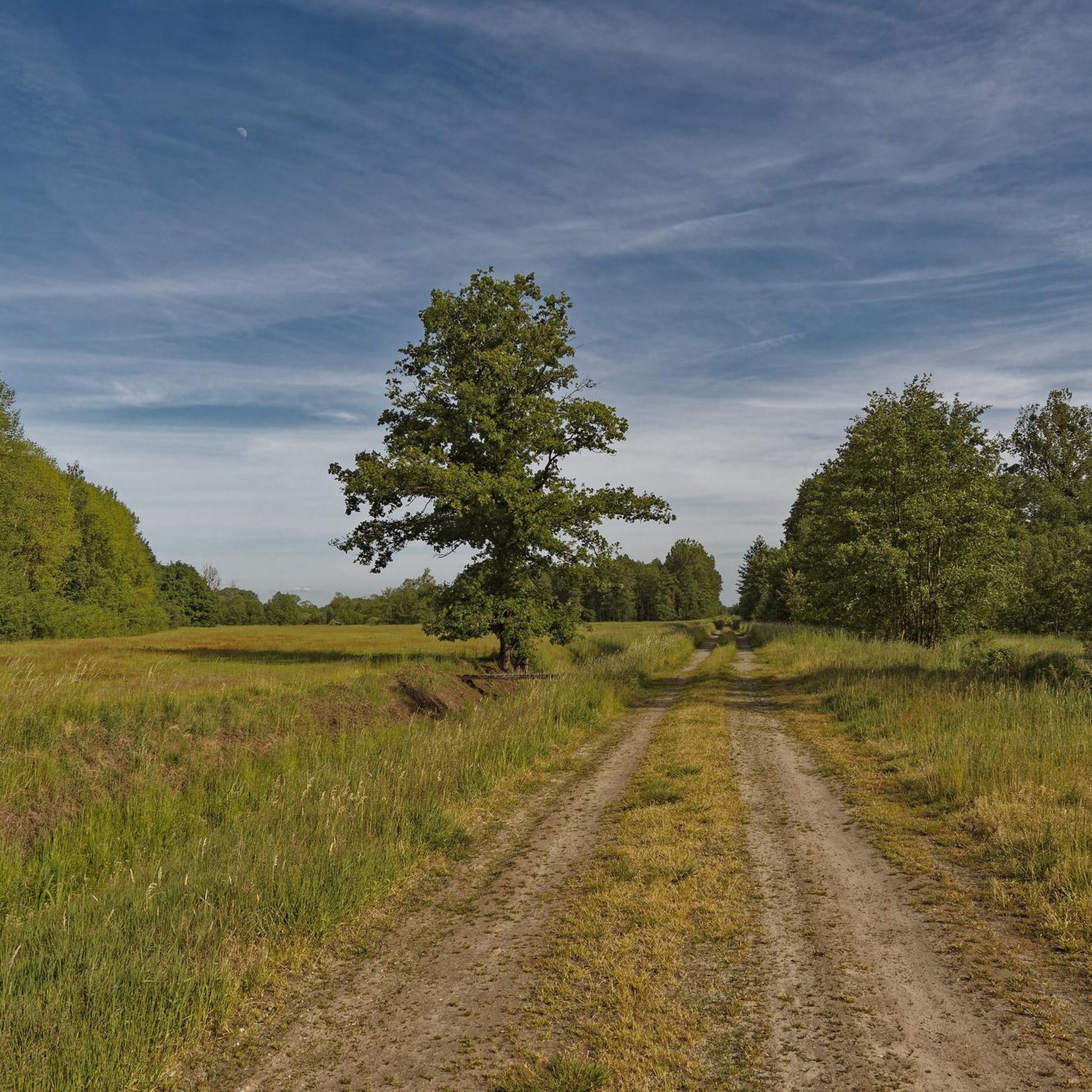
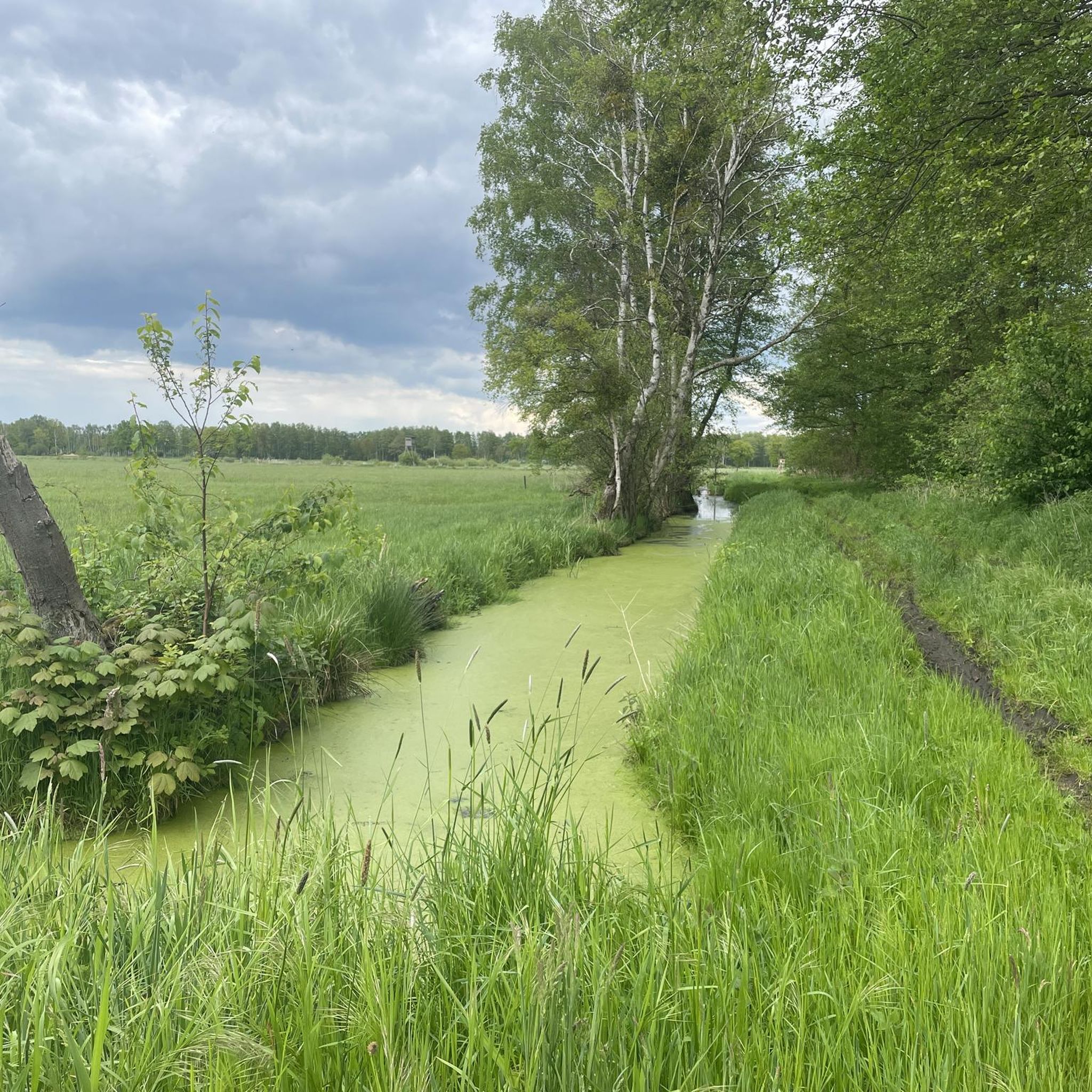
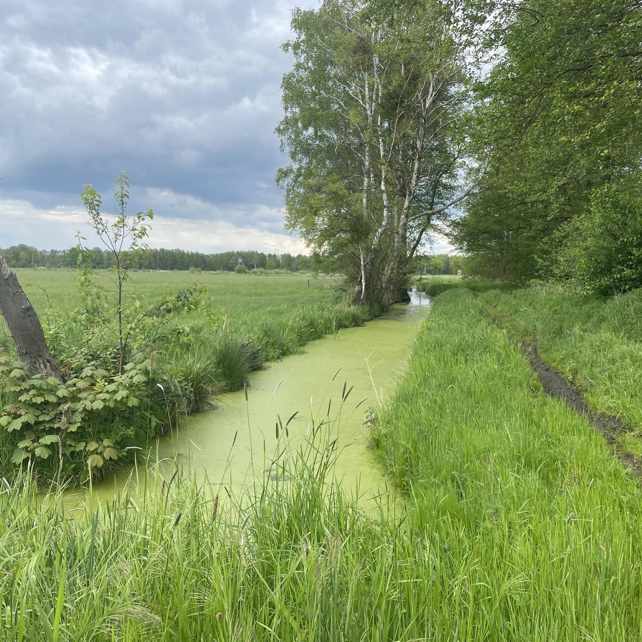
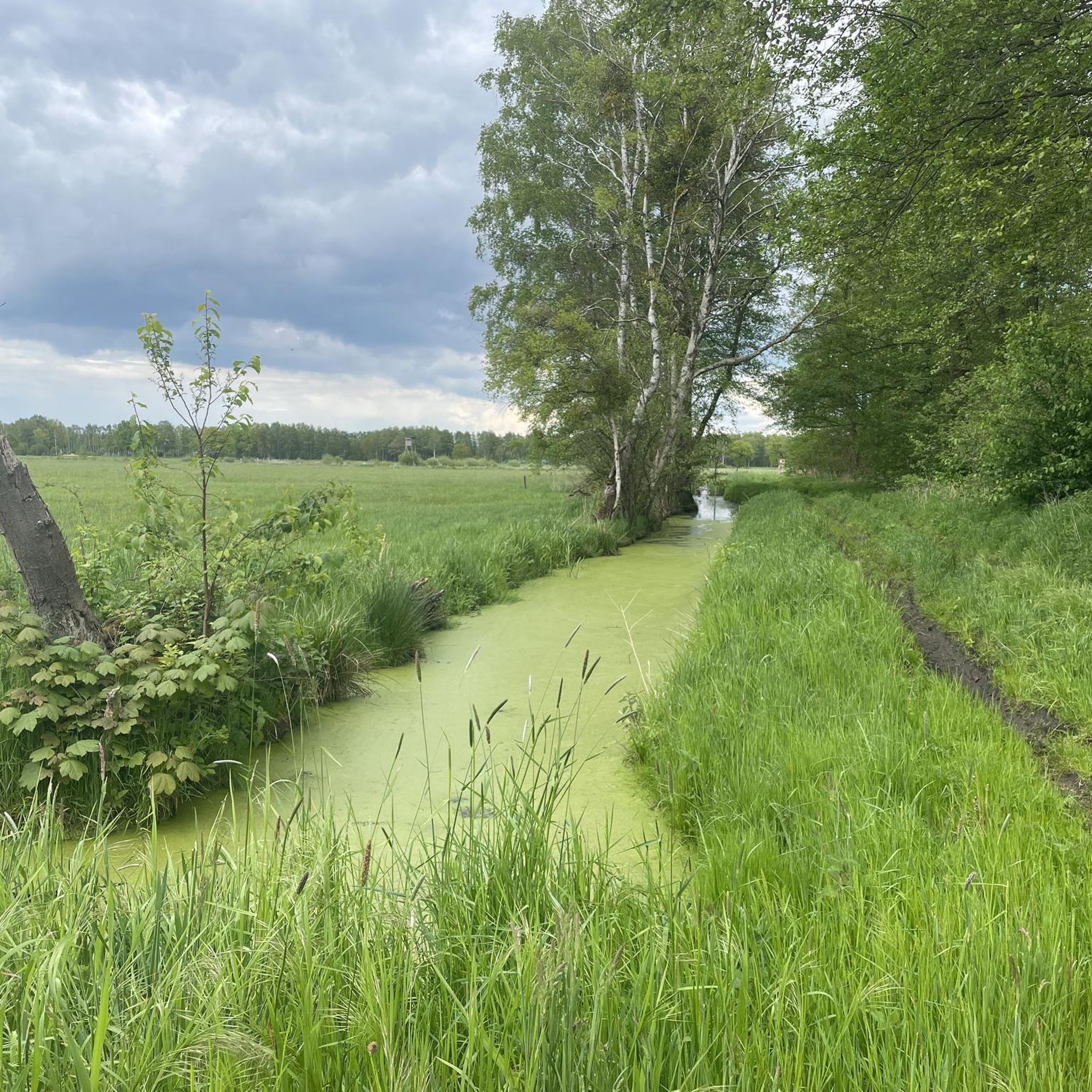
Jogging in Schulenburgscher Drömling offers routes through a unique landscape characterized by expansive wet forests and low moorlands. This region, part of the UNESCO-recognized Drömling Biosphere Reserve, is known as the "land of a thousand ditches" due to its intricate network of waterways. The terrain is generally flat, with minimal elevation changes, making it suitable for various running abilities. Runners can experience diverse forest types, including alder and birch bog forests, alongside open meadows.
Best jogging routes in Schulenburgscher Drömling
…Last updated: June 28, 2026
3
runners
8.31km
00:54
10m
10m
Moderate run. Good fitness required. Mostly paved surfaces. Suitable for all skill levels.
4
runners
10.5km
01:10
10m
10m
Moderate run. Good fitness required. Mostly paved surfaces. Suitable for all skill levels.

Sign up for free
3
runners
6.48km
00:40
10m
10m
Moderate run. Good fitness required. Mostly paved surfaces. Suitable for all skill levels.
5.0
(5)
3
runners
4.95km
00:34
10m
10m
Easy run. Great for any fitness level. Mostly paved surfaces. Suitable for all skill levels.
5.0
(1)
6
runners
4.90km
00:30
10m
10m
Easy run. Great for any fitness level. Mostly paved surfaces. Suitable for all skill levels.
Get access to more routes and recommendations from other explorers.
Sign up for free
Already have an account?
Our route recommendations are based on thousands of hikes, rides, and runs completed by other people on komoot.
Start today with a free account
Your next adventure awaits.
Login or Signup

Tips from the Community

The former inner-German border near Böckwitz (Saxony-Anhalt) and the directly neighboring Zicherie (Lower Saxony) is considered one of the most striking symbols of the German division. Here the border did not run through forests or fields, but through the middle of an established village structure.
0
0

no lightweight construction of the ear bridge
0
0

A wonderful river - the Ohre. Flows through many beautiful nature reserves.
0
0

On the left of the picture you can see the column path of the GDR border troops. In the middle of the picture is the 6m wide lane safety strip. A raked area where tracks were immediately visible.
0
0
The vehicle barrier was intended to prevent vehicles from breaking through the border. As a rule, the rear side of the trench was reinforced with concrete slabs.
0
0
Here you can see how the GDR border fortifications were tightened over time.
0
0
A detour to the Böckwitz Border Museum is definitely worth it. Well-preserved facilities of the former GDR border regime.
1
0
Frequently Asked Questions
How many running routes are available in Schulenburgscher Drömling?
Schulenburgscher Drömling offers a wide selection of over 130 running routes. These include 24 easy paths, 97 moderate trails, and 12 more challenging options, ensuring there's something for every runner.
What kind of terrain can I expect on the jogging trails in Schulenburgscher Drömling?
The terrain in Schulenburgscher Drömling is generally flat, characterized by expansive wet forests, low moorlands, and an intricate network of ditches. You'll find paths winding through diverse forest types, including alder and birch bog forests, with minimal elevation changes, making for a smooth running experience.
Are there any family-friendly running routes in the area?
Yes, many of the routes in Schulenburgscher Drömling are suitable for families due to their generally flat and accessible nature. For an easier option, consider the Running loop from Samtgemeinde Brome, which is 4.9 km long and classified as easy.
Can I bring my dog on the running trails?
Schulenburgscher Drömling is a natural area, and many trails are suitable for running with dogs. However, as it's part of a nature reserve and biosphere reserve, it's important to keep dogs on a leash to protect wildlife and respect the natural environment. Always check local signage for specific restrictions.
What natural features or landmarks can I see while running in Schulenburgscher Drömling?
While running, you'll experience the unique 'land of a thousand ditches' with its intricate network of waterways. The diverse wet forests, including alder and birch bog forests, provide varied scenery. You might also spot interesting domestic animal breeds like Heck cattle and Konik horses grazing in semi-open pastures, and observe various bird species, especially during migration seasons.
Are there circular running routes available?
Yes, many of the running routes in Schulenburgscher Drömling are designed as loops. For example, the popular Running loop from Böckwitz offers a 8.3 km circular path through wet forests and alongside ditches. Another option is the Black Bridge over the Ohre River loop from Jahrstedt, a 10.4 km moderate route.
What do other runners enjoy most about jogging in Schulenburgscher Drömling?
The running routes in Schulenburgscher Drömling are highly rated by the komoot community, with an average score of 4.5 stars from over 60 reviews. Runners often praise the tranquil and undisturbed environment, the unique natural scenery of wet forests and waterways, and the opportunity for wildlife observation.
What is the best season for running in Schulenburgscher Drömling?
The Drömling offers a fascinating landscape in all seasons. Spring and summer bring vibrant wildflowers and active wildlife. Autumn is ideal for bird migration, with thousands of geese and cranes resting in the area. Even winter can be beautiful, with floods transforming meadows into reflective surfaces. Each season provides a unique experience, though spring and autumn are often favored for comfortable running temperatures.
Is parking available near the running trails?
While specific parking areas for each trail are not detailed, the region is generally accessible. It's advisable to check the starting points of individual routes on komoot for information on nearby parking facilities, which are typically available in or near the small towns and villages bordering the reserve.
How can I access Schulenburgscher Drömling using public transport?
Access to Schulenburgscher Drömling primarily relies on local public transport options to reach the surrounding villages. Given its nature as a sparsely populated lowland area, direct public transport links to trailheads might be limited. Planning your route on komoot can help identify the closest public transport stops to your chosen starting point.
Are there any longer running routes for experienced runners?
Yes, for those looking for a longer run, the Running loop from Jahrstedt offers a 12.8 km moderate trail. This route provides an extended experience through the region's diverse landscapes, taking approximately 1 hour 20 minutes to complete.
What is the general difficulty level of the running routes?
The majority of running routes in Schulenburgscher Drömling are classified as moderate, making them suitable for most runners. There are also easier options for beginners and a few more challenging trails for those seeking a greater workout, though the overall flat terrain means significant elevation is rare.
Most popular routes in Schulenburgscher Drömling

Get inspired with the komoot mobile app


Explore more
Browse the best Running Trails & Routes in other regions.
