The best road cycling routes in Schulenburgscher Drömling
4.6
(97)
699
riders
51
rides
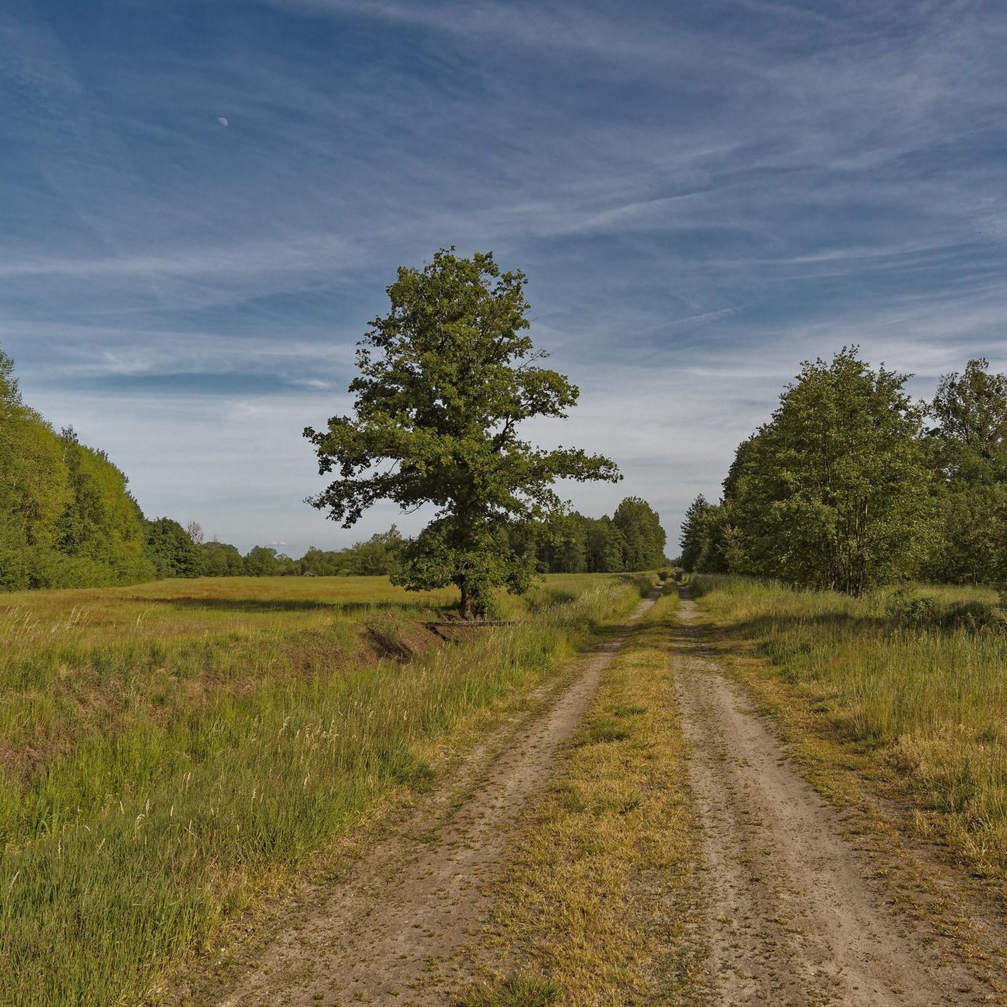
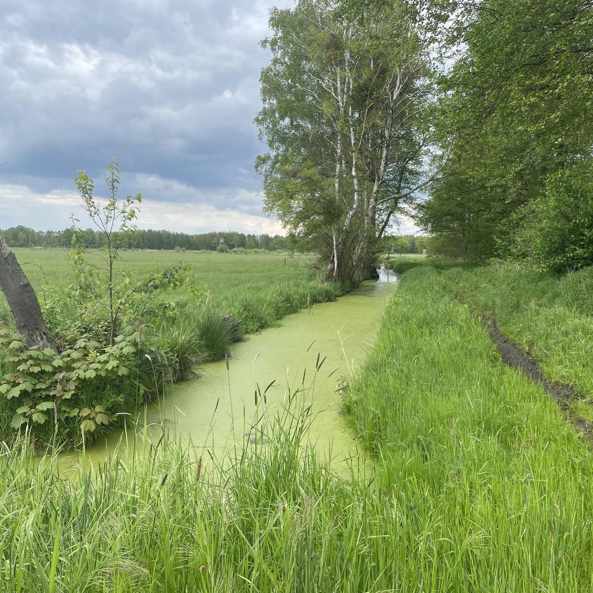
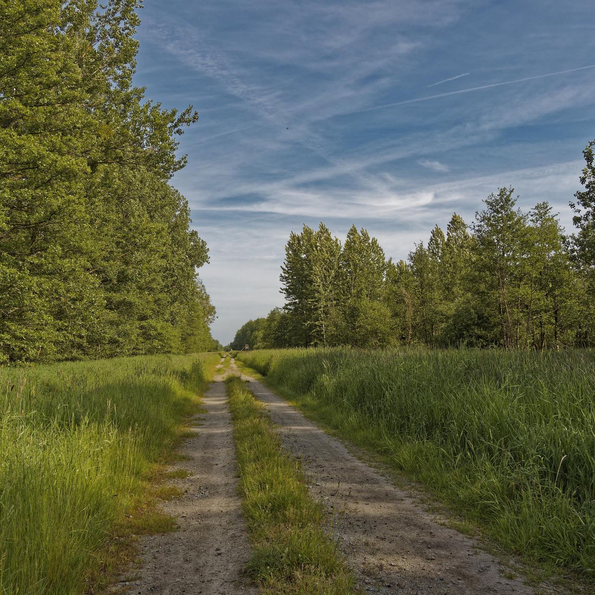
Road cycling in Schulenburgscher Drömling features predominantly flat terrain, making it accessible for various fitness levels. The region is characterized by expansive wet forests on low moorland, with diverse trees such as alder, birch, and oak. An intricate network of small canals and ditches, known as the "Land of a thousand ditches," defines the landscape. This environment provides a tranquil setting for cycling, often on well-paved surfaces.
Best road cycling routes in Schulenburgscher Drömling
- The most popular road cycling route…
Last updated: June 28, 2026
3.7
(3)
17
riders
23.5km
00:56
50m
50m
Moderate road ride. Great for any fitness level. Some segments of this route may be unpaved and difficult to ride.
5.0
(1)
3
riders
28.1km
01:07
70m
70m
Moderate road ride. Great for any fitness level. Some segments of this route may be unpaved and difficult to ride.

Sign up for free
5.0
(5)
9
riders
Easy road ride. Great for any fitness level. Mostly well-paved surfaces and easy to ride.
4.0
(1)
2
riders
Moderate road ride. Good fitness required. Some segments of this route may be unpaved and difficult to ride.
5.0
(3)
24
riders
57.5km
02:17
100m
100m
Moderate road ride. Good fitness required. Mostly well-paved surfaces and easy to ride.
Get access to more routes and recommendations from other explorers.
Sign up for free
Already have an account?
Our route recommendations are based on thousands of hikes, rides, and runs completed by other people on komoot.
Start today with a free account
Your next adventure awaits.
Login or Signup

Tips from the Community

The eternal crooked church tower of Trippigleben is a rewarding stop for anyone exploring the Altmark on foot or by bike. The quiet, expansive landscape around Trippigleben offers predominantly flat paths and little traffic – ideal for a relaxed tour. A short break at the crooked church tower is worthwhile to admire the extraordinary structure and enjoy the rural atmosphere. Beautiful photo opportunities arise especially in the morning or evening hours, when the warm light showcases the historic tower. Those who like to venture off the beaten tourist paths will find a small, charming highlight with regional character here.
0
0
The Mittelland Canal near Buchhorst lies in a rather quiet section of the major west-east waterway in Lower Saxony, approximately between Gifhorn, Wolfsburg, and Calvörde. This area is among the more open and less urbanized stretches of the canal.
0
0
The Aller near Grafhorst is a quiet stretch of the Aller river (river), which is particularly suitable for walks and nature observation.
0
0
The Lüneburger Heide offers ideal conditions for a relaxing excursion with a nature experience. Combinations of heathlands and quiet resting places are particularly beautiful, for example in the Büsenbachtal or around the Totengrund, where well-signposted paths lead through the typical heath landscape and picnic opportunities with a view of the greenery constantly emerge.
0
0

Very elaborate and created with great attention to detail.
0
0
The Drömling, often referred to as the „Land of a Thousand Ditches“, is a fascinating low moor landscape on the border between Saxony-Anhalt and Lower Saxony. Since 2023, the Drömling officially bears the title UNESCO Biosphere Reserve. Previously, it had already been recognized as a national biosphere reserve (according to state law of Saxony-Anhalt) since 2019.
0
0
Without the canal, Wolfsburg would probably not exist in its current form. When the city and the Volkswagen factory were planned in the late 1930s, the connection to the Mittelland Canal was crucial for transporting coal for its own power plant and for the removal of manufactured vehicles.
0
0
The Allersee in Wolfsburg is a prime example of safety at bathing lakes. Since 2009, it has carried the official certificate „Bewachter Strand (Lifeguarded Beach)“, awarded by the DLRG and the International Life Saving Federation of Europe (ILS-E). This makes it one of the safest inland waters in the region.
0
0
Frequently Asked Questions
How many road cycling routes are available in Schulenburgscher Drömling?
There are over 50 road cycling routes available in Schulenburgscher Drömling. These routes offer a variety of distances and experiences, primarily through flat landscapes.
What is the typical terrain like for road cycling in this region?
Road cycling in Schulenburgscher Drömling is characterized by its predominantly flat terrain, making it accessible for all fitness levels. You'll cycle through expansive wet forests on low moorland and alongside an intricate network of watercourses, often referred to as the 'Land of a thousand ditches'. The routes generally feature well-paved surfaces.
Are there routes suitable for beginners or those looking for an easy ride?
Yes, Schulenburgscher Drömling offers 13 easy road cycling routes. These are perfect for beginners or those seeking a relaxed ride through the tranquil natural landscape. An example of an easy route is the View of Allersee – Allersee Beach loop from Samtgemeinde Brome, which is 19.9 miles (32.1 km) long.
What kind of natural features can I expect to see while cycling?
The region is rich in natural beauty, featuring diverse wet forests with alder, birch, and oak, as well as unique flora like royal ferns. The extensive network of small canals and ditches is a defining characteristic. You might also spot various bird species, as the Drömling is a vital habitat for rare and endangered wildlife.
What do other road cyclists enjoy most about cycling in Schulenburgscher Drömling?
The area is highly rated by the komoot community, with an average score of 4.6 stars from over 90 reviews. Cyclists often praise the peaceful, serene environment, the predominantly flat and well-paved routes, and the opportunity to experience 'pure nature' away from heavy traffic.
Are there any loop routes available for road cycling?
Yes, many routes in Schulenburgscher Drömling are designed as loops, allowing you to start and end at the same point. For instance, the popular Drömling Biosphere Reserve loop from Jahrstedt is a 14.6 miles (23.5 km) circular route that traverses the flat landscape of the Drömling Biosphere Reserve.
Can I find routes that pass by specific landmarks or points of interest?
While the region is primarily known for its natural landscapes, some routes offer views of local points of interest. For example, the Ehra Church loop from Böckwitz provides views of the local countryside and the Ehra Church. Other routes may pass by sections of the Aller River or offer glimpses of the Katharinenbach Bridge within the wider Drömling area.
What is the best time of year to go road cycling in Schulenburgscher Drömling?
The predominantly flat terrain makes Schulenburgscher Drömling enjoyable for road cycling across many seasons. Spring and autumn offer pleasant temperatures and beautiful scenery, especially with the changing colors of the diverse forests. Bird migration seasons can also add an appealing dimension to your ride.
Are there any longer road cycling routes for more experienced riders?
Yes, for those seeking longer distances, there are routes like the Volkswagen Test Facility – Brauerei Wittinger loop from Samtgemeinde Brome, which covers 40.1 miles (64.5 km) and is rated as moderate. Another option is the View of the Aller – Crossing Mittelland Canal loop from Parsau, a 35.7 miles (57.5 km) moderate route.
Is Schulenburgscher Drömling suitable for family-friendly road cycling?
Given its predominantly flat terrain and generally well-paved surfaces, Schulenburgscher Drömling is well-suited for family-friendly road cycling. The absence of challenging climbs allows for relaxed rides, making it enjoyable for cyclists of various ages and fitness levels. Easy routes are particularly good for families.
Are there options for parking when visiting Schulenburgscher Drömling for cycling?
While specific parking locations are not detailed for every route, as part of the larger Drömling Biosphere Reserve, you can typically find parking options in nearby towns or designated areas that serve as starting points for cycling routes. It's advisable to check the komoot tour details for specific routes for recommended starting points and potential parking information.
Most popular routes in Schulenburgscher Drömling

Get inspired with the komoot mobile app


Explore more
Browse the best Road cycling routes in other regions.
