The best walks and hikes in Schulenburgscher Drömling
4.6
(633)
2,579
hikers
281
hikes
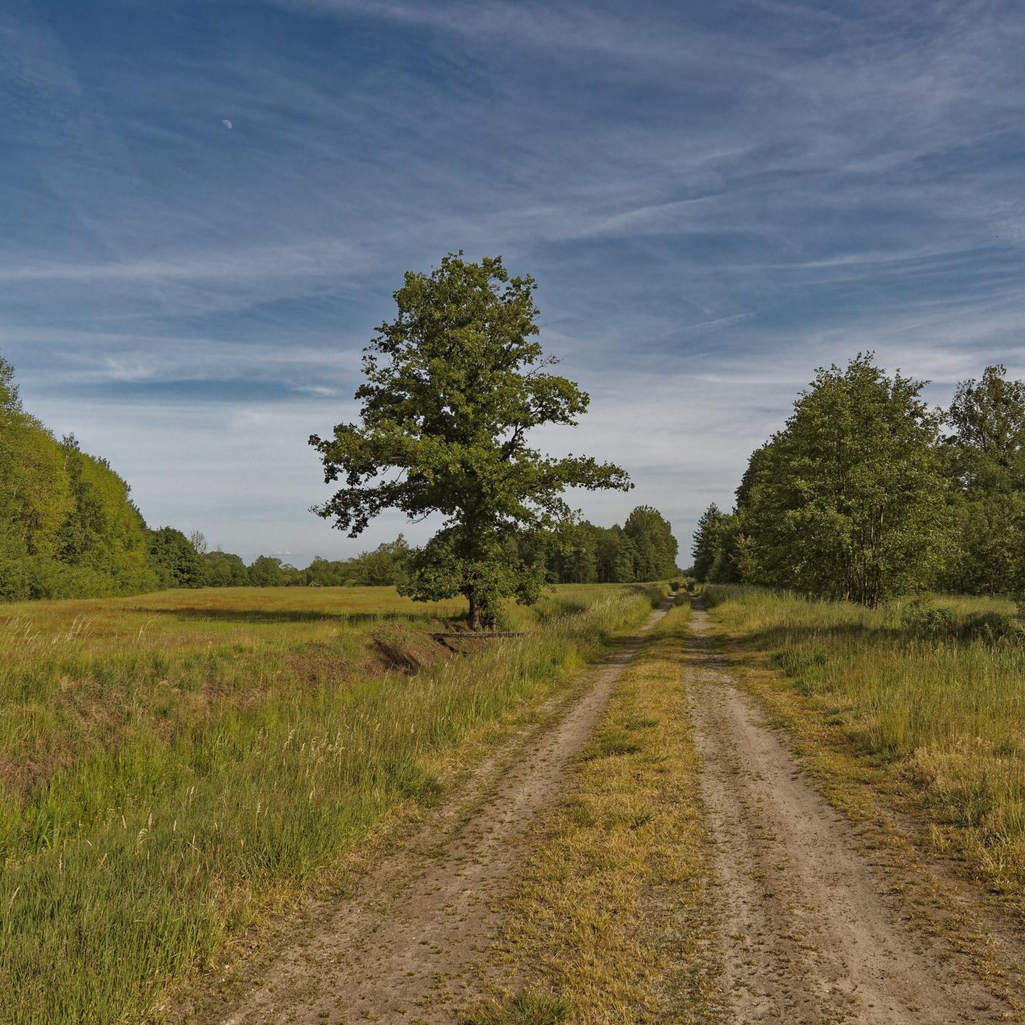
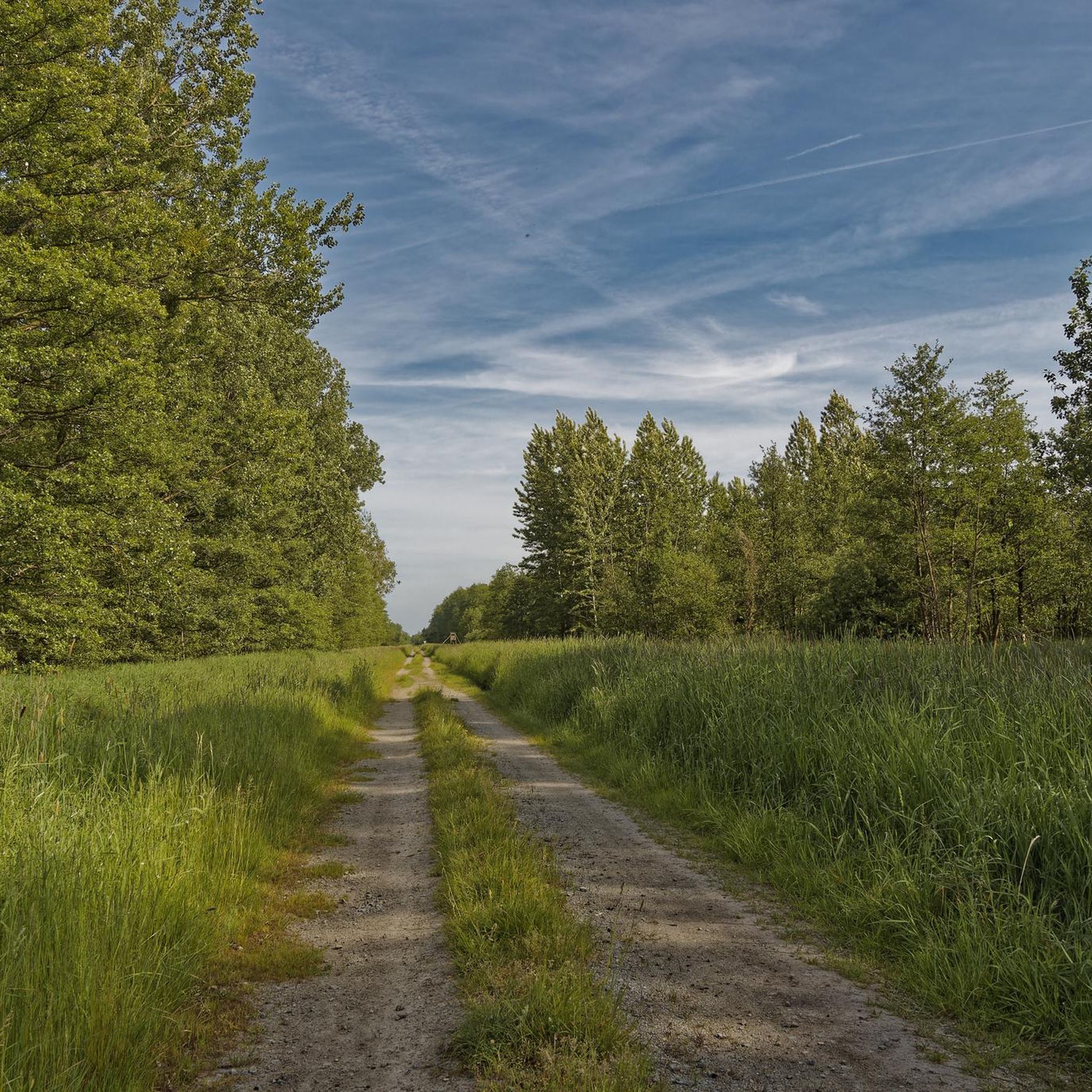
Hiking trails in Schulenburgscher Drömling traverse a diverse landscape within a 450 square kilometer biosphere reserve. The region features varied topography, including deciduous forests, open meadows, cultivated fields, and distinctive bogs, all interwoven with numerous watercourses. The terrain is generally flat, with minimal elevation changes, making it accessible for various activity levels. This area offers a blend of natural features and historical landmarks for exploration.
Best hiking trails in Schulenburgscher Drömling
- The most popular hiking route is Kaiserwinkel Observation Tower…
Last updated: October 1, 2026
4.3
(4)
12
hikers
Moderate hike. Good fitness required. Easily-accessible paths. Suitable for all skill levels.
3
hikers
Moderate hike. Good fitness required. Easily-accessible paths. Suitable for all skill levels.

6
hikers
Moderate hike. Good fitness required. Easily-accessible paths. Suitable for all skill levels.
4.0
(2)
3
hikers
5.73km
01:26
10m
10m
Easy hike. Great for any fitness level. Easily-accessible paths. Suitable for all skill levels.
5.0
(1)
2
hikers
Easy hike. Great for any fitness level. Easily-accessible paths. Suitable for all skill levels.
Get access to more routes and recommendations from other explorers.
Already have an account?
Our route recommendations are based on thousands of hikes, rides, and runs completed by other people on komoot.
Start today with a free account
Your next adventure awaits.

Tips from the Community

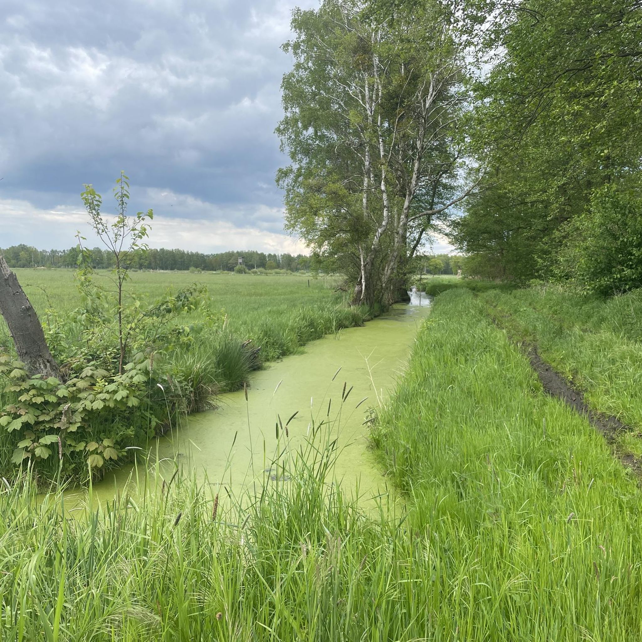
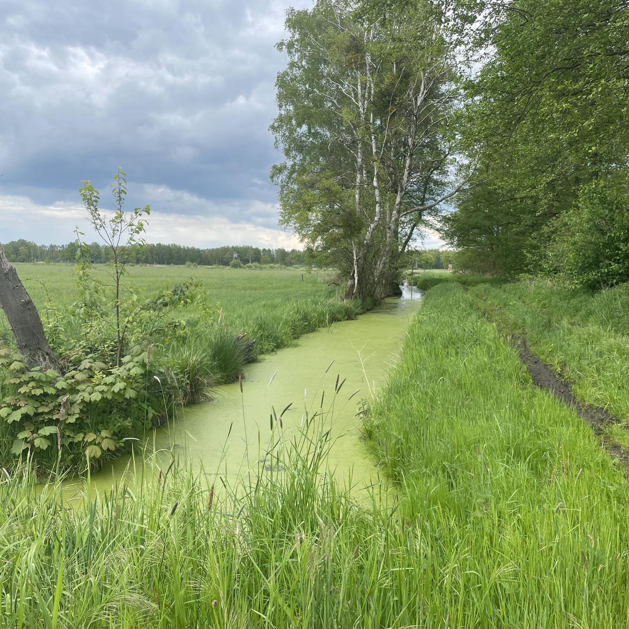
Observation tower Agnes-Steinmann-Turm to supplement visitor management in the Drohmling The tower offers views of the semi-open landscape with diverse willow thickets and the typical Drohmling Rimpauschen dam cultures with natural ditches alternating with species-rich wet and moist meadows. see tour 2026 Tour 15 - On the Trail of the Great + Small Beetle Path https://www.komoot.com/de-de/tour/3277500757 have fun watching and riding along Greetings Klaus🟢
0
0

Opt for extensive year-round or seasonal grazing in small herds, ideally with robust breeds (e.g. cold-blooded types or Koniks). What is crucial in the Drömling is not a "clean pasture", but a mosaic-like structure: the horses should use areas with varying intensity – this simultaneously creates short-grazed areas, taller grass, and overgrown zones. It is precisely this diversity that promotes typical species of the floodplain and wet meadow landscape.
0
0
The Drömling, often referred to as the „Land of a Thousand Ditches“, is a fascinating low moor landscape on the border between Saxony-Anhalt and Lower Saxony. Since 2023, the Drömling officially bears the title UNESCO Biosphere Reserve. Previously, it had already been recognized as a national biosphere reserve (according to state law of Saxony-Anhalt) since 2019.
0
0
The Kaiserwinkel memorial and remembrance site (often mentioned in connection with the neighboring village of Zicherie) is a significant place of remembrance on the former inner-German border between Lower Saxony and Saxony-Anhalt. On October 12, 1961 – just two months after the construction of the Berlin Wall – West German journalist Kurt Lichtenstein was shot by GDR border troops at the border near Kaiserwinkel.
0
0
The Drömling is an important nature reserve in the Gifhorn district, Lower Saxony. It is part of the larger fen landscape of the Drömling, which has been recognized as a cross-border UNESCO Biosphere Reserve since 2023.
0
0
Directly on the Ohre, in the idyllic district of Jahrstedt (town of Klötze), there is a lovingly designed rest area that is particularly popular with cycle tourists and nature lovers.
0
0

no lightweight construction of the ear bridge
0
0

Frequently Asked Questions
How many hiking trails are available in Schulenburgscher Drömling?
Schulenburgscher Drömling offers a wide selection of routes, with over 290 hiking trails to explore. These range from easy strolls to more challenging paths, catering to various fitness levels.
What kind of terrain can I expect when hiking in Schulenburgscher Drömling?
The region, a 450 square kilometer biosphere reserve, features a diverse and generally flat topography. You'll encounter deciduous forests, open meadows, cultivated fields, and distinctive bogs, all interwoven with numerous watercourses. The minimal elevation changes make it accessible for many.
Are there easy hiking trails suitable for beginners or families with children?
Yes, Schulenburgscher Drömling has over 180 easy hiking trails. A great option for families or beginners is the Hiking loop from Schulenburgscher Drömling, which is 3.6 miles (5.8 km) and leads through varied landscapes of the biosphere reserve.
Are there any circular hiking routes in Schulenburgscher Drömling?
Many trails in the region are designed as loops, offering convenient circular walks. For instance, the Kaiserwinkel Observation Tower – Drömling Biosphere Reserve loop from Giebel (gemeindefreies Gebiet) is a popular 6.9-mile (11.2 km) route that provides panoramic views.
What notable landmarks or attractions can I see along the hiking trails?
Hikers can discover several interesting features. You can trace the path of the historical Former Inner-German Border Ditch (Grenzgraben), or visit the picturesque Schwarze Brücke over the Ohre River. For expansive views, the Kaiserwinkel Observation Tower offers panoramic vistas across the wide meadow landscapes.
Are dogs allowed on the hiking trails in Schulenburgscher Drömling?
Generally, dogs are welcome on trails in Schulenburgscher Drömling, but it's always advisable to keep them on a leash, especially within the biosphere reserve, to protect wildlife and ensure a pleasant experience for all hikers. Always check local signage for specific restrictions.
What is the best time of year to go hiking in Schulenburgscher Drömling?
The diverse landscape of Schulenburgscher Drömling makes it enjoyable throughout the warmer months, from spring to autumn. Spring brings blooming meadows, while autumn offers vibrant foliage. The generally flat terrain can also be suitable for winter walks, though conditions may vary.
Are there any trails that feature historical sites or monuments?
Yes, the region's history is woven into its landscape. You can explore routes that pass by historical markers, such as the Drömling Biosphere Reserve – Memorial and monument loop from Schulenburgscher Drömling, which is an easy 4.3-mile (6.9 km) trail.
What do other hikers enjoy most about the trails in Schulenburgscher Drömling?
The trails in Schulenburgscher Drömling are highly rated by the komoot community, with an average score of 4.7 stars from over 500 reviews. Hikers often praise the diverse natural landscapes, the tranquility of the biosphere reserve, and the well-maintained paths that offer a blend of natural beauty and historical context.
Is there a trail that offers views of the Ohre River?
Yes, the Drömling Biosphere Reserve – Black Bridge over the Ohre River loop from Schulenburgscher Drömling is a moderate 6.9-mile (11.2 km) path that leads along the Ohre River, passing the picturesque Black Bridge, offering scenic views of the water.
Are there any trails that lead to the Kaiserwinkel Observation Tower?
Yes, you can hike to the Kaiserwinkel Observation Tower. A popular route is the Kaiserwinkel Observation Tower – Drömling Biosphere Reserve loop from Schulenburgscher Drömling, an easy 4-mile (6.5 km) trail that provides access to the tower and its panoramic views.
Most popular routes in Schulenburgscher Drömling

Get inspired with the komoot mobile app


Explore more
Browse the best Hikes in other regions.
