The best cycling routes in Schulenburgscher Drömling
4.6
(1927)
7,418
riders
453
rides
Touring cycling in Schulenburgscher Drömling offers routes through a unique landscape characterized by extensive wet forests and low moorland sites. The region, part of the larger Drömling UNESCO Biosphere Reserve, features a dense network of waterways and ditches. Its flat topography ensures generally easy navigation with minimal elevation changes, making it suitable for various fitness levels. This lowland area provides a mosaic of deciduous forests, meadows, and moors.
Best touring cycling routes in Schulenburgscher Drömling
- The most popular touring cycling…
Last updated: June 28, 2026
4.6
(16)
49
riders
Moderate bike ride. Good fitness required. Mostly paved surfaces. Suitable for all skill levels.
5.0
(40)
22
riders
19.3km
01:05
30m
30m
Easy bike ride. Great for any fitness level. Mostly paved surfaces. Suitable for all skill levels.

Sign up for free
5.0
(3)
16
riders
28.2km
01:41
80m
80m
Hard bike ride. Great for any fitness level. You may need to push your bike for some segments of this route.
4.5
(4)
15
riders
Easy bike ride. Great for any fitness level. Mostly paved surfaces. Suitable for all skill levels.
5.0
(3)
11
riders
8.65km
00:30
20m
20m
Easy bike ride. Great for any fitness level. Mostly paved surfaces. Suitable for all skill levels.
Get access to more routes and recommendations from other explorers.
Sign up for free
Already have an account?
Our route recommendations are based on thousands of hikes, rides, and runs completed by other people on komoot.
Start today with a free account
Your next adventure awaits.
Login or Signup

Tips from the Community

The rest area at the angler's pond in Jahrstedt is a quiet, natural place right next to the old swimming pool or the small pond in the Jahrstedt district. It is located a bit off the beaten track between fields and wooded areas – ideal if you simply want to switch off for a while or take a break while hiking or fishing.
0
0
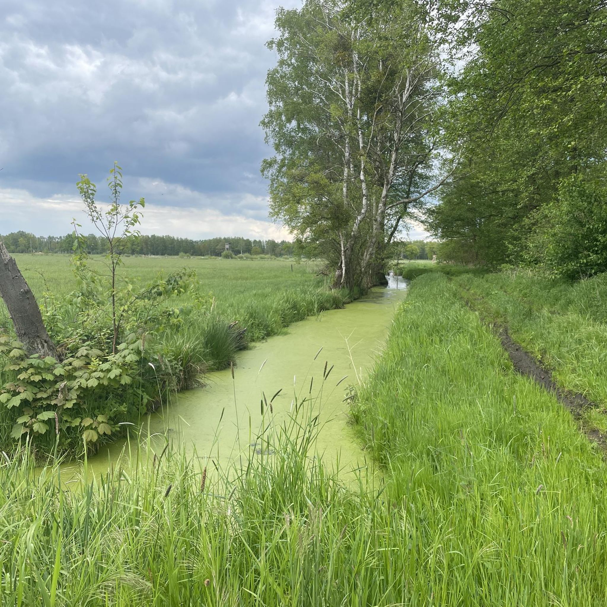
The Drömling is a very flat, marshy nature reserve – perfect for relaxed bike or hiking tours, but you should keep a few things in mind. A good tip: Plan your tour preferably for the morning or early evening, especially in summer. Then it is not only cooler, but you also have the best chance of seeing roe deer, storks, or cranes. The paths are often straight and open, so sun and wind can have a stronger effect than expected – sun protection and a light windbreaker are therefore worthwhile even on a "leisurely" route.
0
0
When you are there, don't just walk over it, but take time for a short walk by the water. The bridge looks particularly beautiful if you photograph or view it slightly from the side of the bank – this way you capture the entire wooden structure with its reflection in the water. In the immediate surroundings, it is also worth taking a look at the old mill or river landscape: The combination of the wooden bridge, water, and nature makes the place particularly calm and atmospheric – ideal for a short break or a brief stroll.
0
0
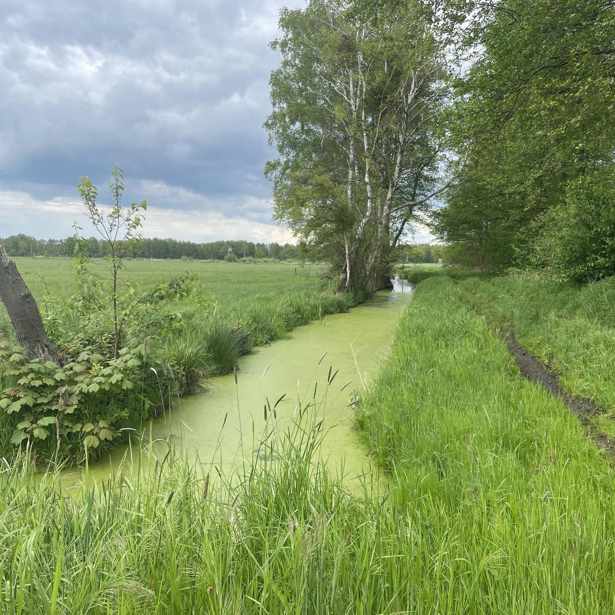
The „concrete path through the Ohre-Drömling“ is a rather inconspicuous, but scenically interesting section of the path in the area of the Drömling nature and cultural landscape region, which extends between Lower Saxony and Saxony-Anhalt. The term usually refers to a paved economic or cycle path (concrete slab path) that leads through the typical, very flat and water-rich lowland landscape. These paths were originally created in the Drömling for agriculture, drainage and ditch maintenance – today they are also frequently used by cyclists and walkers.
0
0
The Wappeneiche Steimke is a striking tree and a well-known landmark of the village Steimke. It owes its name to the numerous coats of arms that have been attached to its trunk over the years. These shields come from clubs, communities, and visitor groups, making the oak a special symbol of connection, homeland, and community.
0
0
The tour is particularly appealing due to its vastness and tranquility. Cyclists experience a typical Altmark cultural landscape with fields, meadows, and small woodlands. The route is suitable for both leisurely excursions and longer cycling tours, as it is predominantly flat with only slight inclines. In the surrounding area, small villages such as Röwitz, Kusey, and Kunrau invite you to take short breaks.
0
0
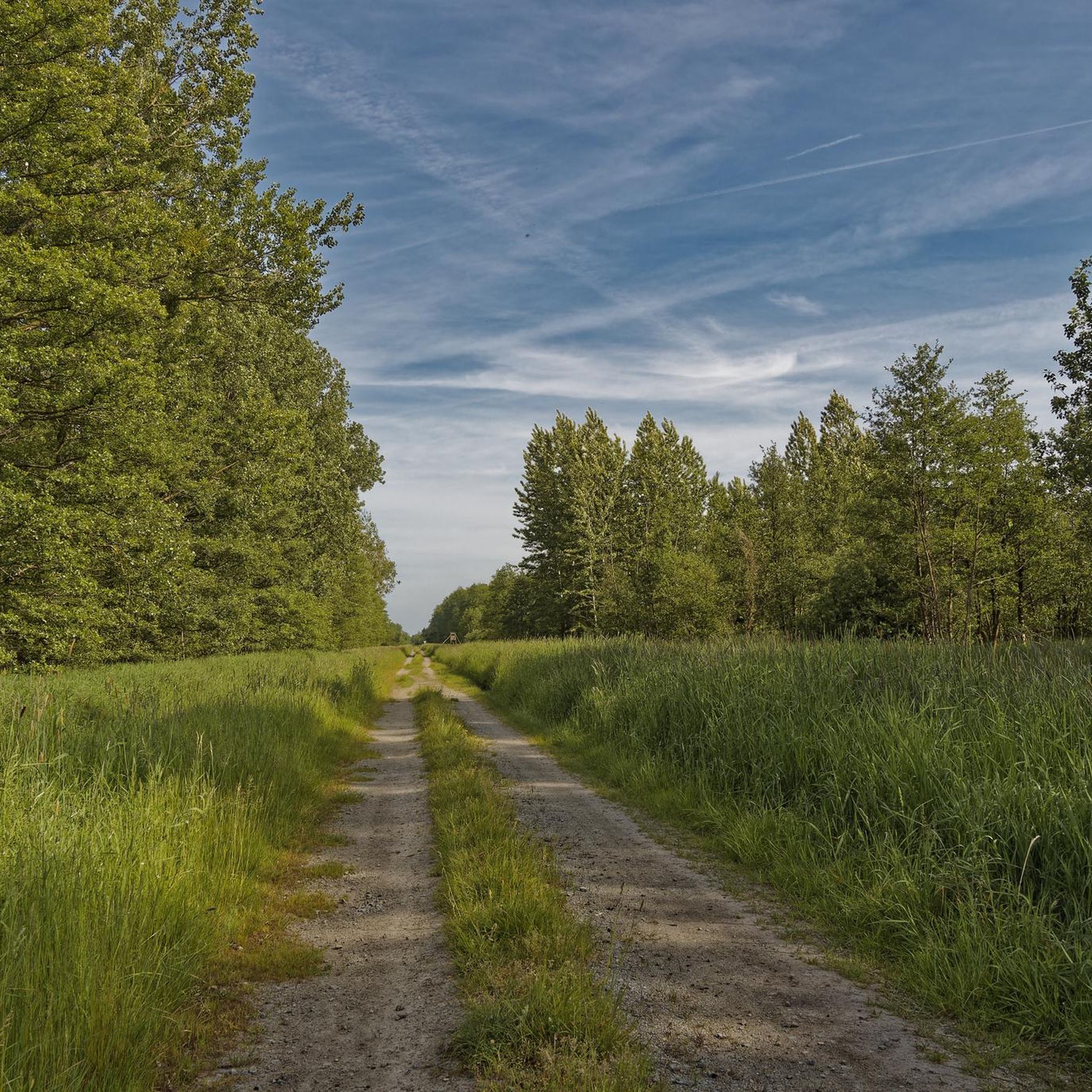
The Drömling cycle path leads through one of the quietest and most nature-rich landscapes in Northern Germany in the area of the Drömling Nature Park. A short tip: Plan enough time for breaks – the route is mostly flat and relaxed to ride, but that's precisely what makes it appealing. You'll ride through wide meadows, ditches, and wetlands where, with a bit of luck, you can observe cranes or storks. The tour is particularly beautiful in spring or early autumn when nature is most vibrant. Binoculars are definitely worthwhile.
0
0

Mittellandkanal: Uphill and downhill with cobblestones. Otherwise good to ride.
0
0
Frequently Asked Questions
How many touring cycling routes are available in Schulenburgscher Drömling?
Schulenburgscher Drömling offers a wide selection of touring cycling routes, with over 470 options available. These include more than 310 easy routes, 78 moderate routes, and 80 difficult routes, catering to various skill levels.
What is the typical terrain for touring cycling in Schulenburgscher Drömling?
The region is characterized by its flat topography, making it ideal for touring cycling with minimal elevation changes. You'll cycle through extensive wet forests, low moorland sites, and a dense network of waterways, often referred to as the 'Land of a thousand ditches'.
Are there family-friendly touring cycling routes in Schulenburgscher Drömling?
Yes, the flat terrain and numerous easy routes make Schulenburgscher Drömling very suitable for families. Many paths utilize dedicated cycle trails, ensuring a safe and enjoyable experience for all ages. An example of an easy route is the Kusey Half-Timbered Church – Immekath Church loop from Jahrstedt.
What natural features or landmarks can I see along the cycling routes?
Cyclists can explore a mosaic of deciduous forests, meadows, and moors. Notable features include the extensive network of ditches, which are remnants of 18th-century melioration efforts, and the rich biodiversity of the UNESCO Biosphere Reserve. You might also encounter the Aussichtsturm Kaiserwinkel, offering panoramic views.
Are there circular touring cycling routes available?
Many of the touring cycling routes in Schulenburgscher Drömling are designed as loops, allowing you to start and end at the same point. An excellent example is the Path Through the Drömling – Drömling Biosphere Reserve loop from Jahrstedt, which explores the core of the biosphere reserve.
Can I bring my dog on the touring cycling routes?
While the Drömling is a nature reserve, many paths are suitable for cycling with dogs, provided they are kept on a leash and you adhere to local regulations regarding protected areas. Always ensure your dog is comfortable with the distance and terrain.
What do other touring cyclists enjoy most about the region?
The area is highly rated by the komoot community, with an average score of 4.6 stars from over 1800 reviews. Cyclists often praise the tranquil and scenic experience, the well-developed infrastructure for cycling, and the opportunity to immerse themselves in a unique cultural and ecological environment.
Are there any historical sites to explore by bike?
Yes, the region has historical significance, particularly as a former inner-German border area. You can find sites like the 'Denk- und Mahnmal' and the 'Böckwitz Border Memorial and Educational Trail' along some routes. The Mühlen Café Brome – Former inner-German border loop from Jahrstedt is one such route that passes historical points.
What is the best time of year for touring cycling in Schulenburgscher Drömling?
The spring, summer, and early autumn months generally offer the most pleasant weather conditions for touring cycling. During these seasons, the natural landscapes are vibrant, and the extensive network of waterways provides picturesque views.
Are there routes that pass by castles or churches?
Yes, some routes connect historical and cultural landmarks. For instance, the Brome Castle – Brome–Mellin Cycle Path loop from Jahrstedt takes you past Brome Castle, and the Rimpau Memorial Stone – Neuferchau Church loop from Jahrstedt leads past cultural landmarks like the Neuferchau Church.
Is parking available for cyclists, and can I reach the routes by public transport?
While specific parking details vary by starting point, many trailheads and villages in the Drömling region offer parking facilities for visitors. Public transport options may be limited, so checking local bus or train schedules to nearby towns is advisable if you plan to arrive without a car.
Most popular routes in Schulenburgscher Drömling

Get inspired with the komoot mobile app


Explore more
Browse the best Cycling routes in other regions.
