The best MTB trails in Schulenburgscher Drömling
4.6
(107)
242
riders
64
rides
Mountain bike trails in Schulenburgscher Drömling traverse a predominantly flat, lowland landscape, historically marshland that was transformed through drainage. The terrain is characterized by a network of ditches and watercourses, alongside wet meadows, alder marsh, and alder-ash forests. This region, part of a UNESCO Biosphere Reserve, offers tranquil routes with minimal elevation changes, making it suitable for less technical mountain biking. The highest points are considered hills, with the overall elevation around 53 meters above sea level.
Best mountain bike…
Last updated: October 1, 2026
5.0
(1)
3
riders
24.4km
01:23
30m
30m
Moderate mountain bike ride. Great for any fitness level. Advanced riding skills necessary.
1.0
(1)
2
riders
Easy mountain bike ride. Great for any fitness level. Suitable for all skill levels.

5.0
(1)
2
riders
45.4km
02:54
110m
110m
Moderate mountain bike ride. Good fitness required. Advanced riding skills necessary.
4.2
(5)
11
riders
37.1km
02:10
50m
50m
Moderate mountain bike ride. Good fitness required. Suitable for all skill levels.
2
riders
30.8km
01:51
50m
50m
Easy mountain bike ride. Great for any fitness level. Suitable for all skill levels.
Get access to more routes and recommendations from other explorers.
Already have an account?
Our route recommendations are based on thousands of hikes, rides, and runs completed by other people on komoot.
Start today with a free account
Your next adventure awaits.

Tips from the Community

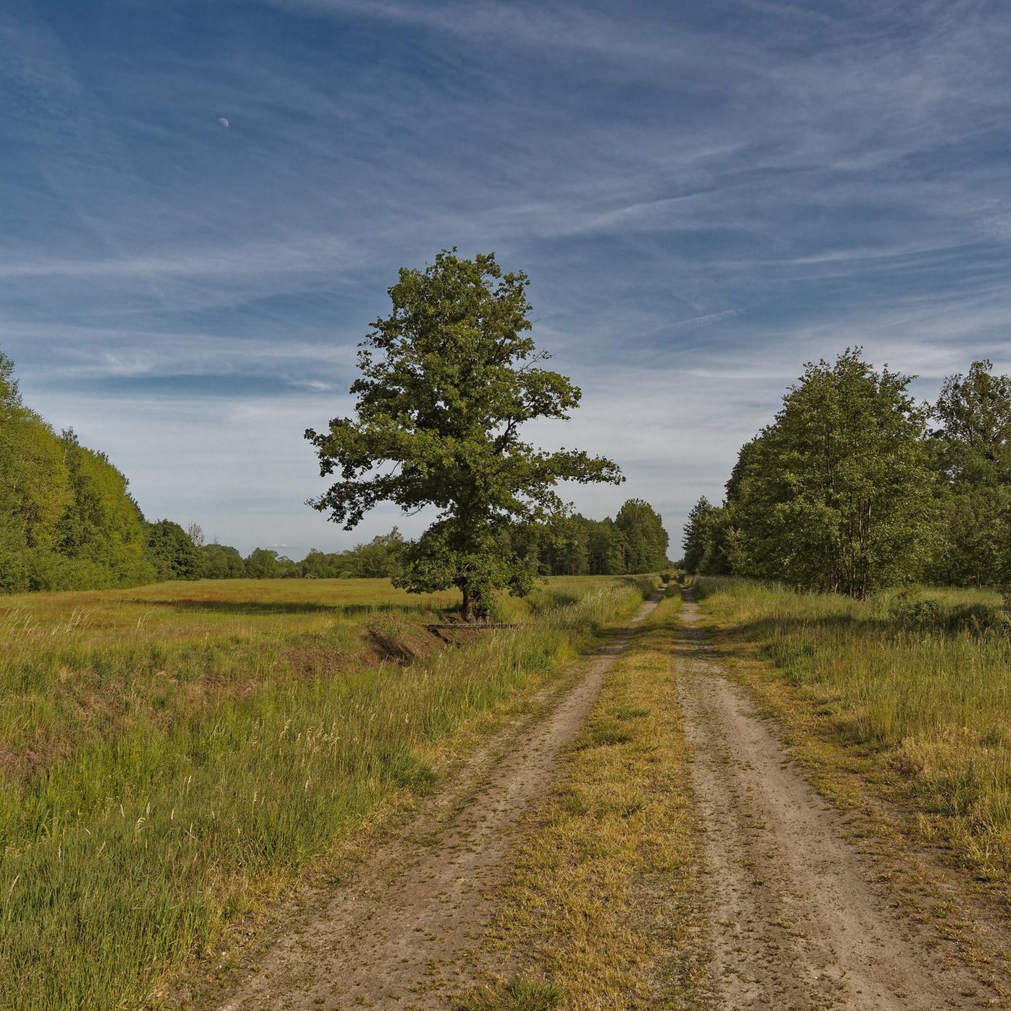
The majestic pedunculate oak near Eischott is an impressive natural monument and invites you to take a short break in the middle of nature. With its mighty trunk and wide-spreading crown, it is a beautiful destination all year round. Especially in the morning or evening light, the old tree unfolds its special atmosphere – ideal for a short walk and beautiful photos.
0
0
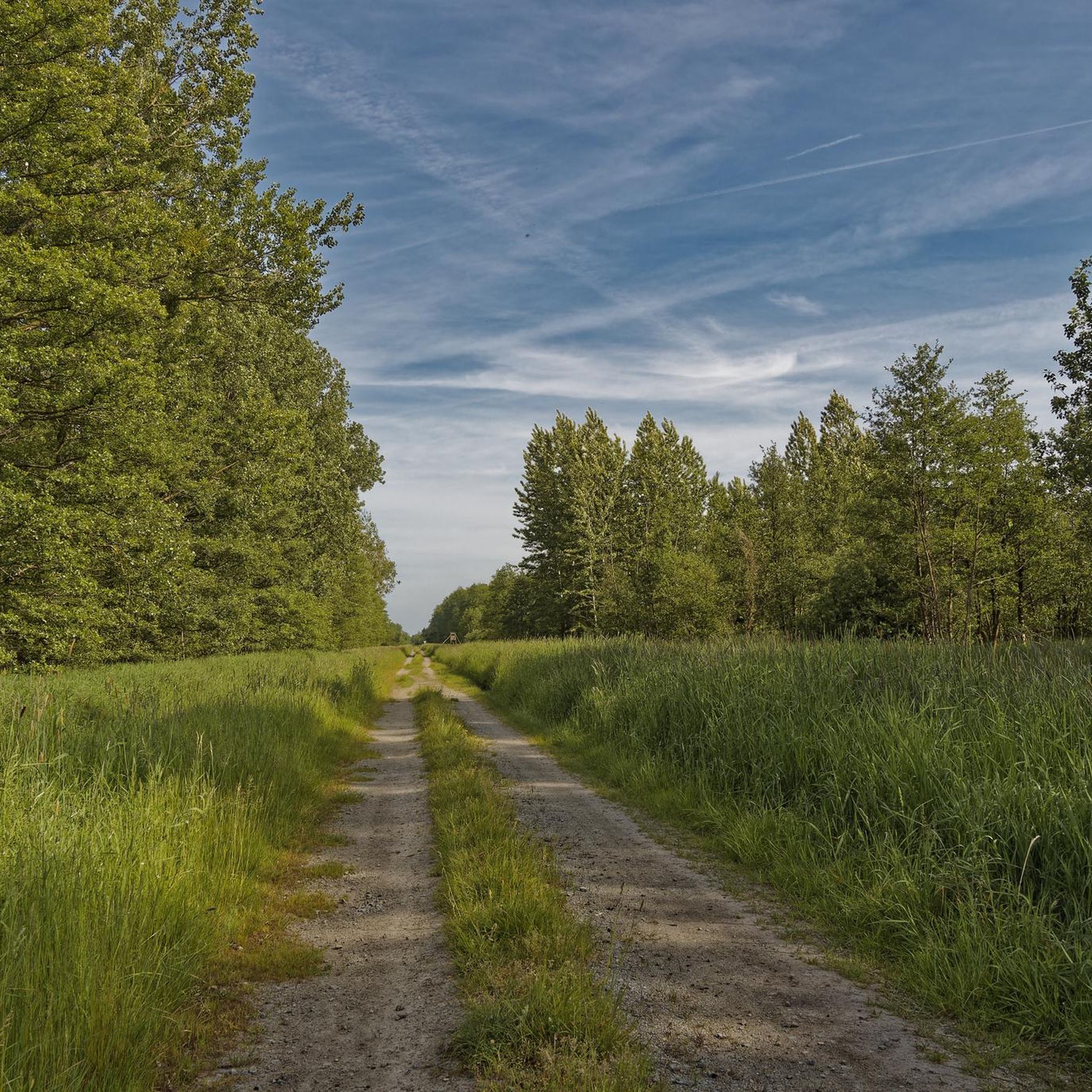
The nature trail with a rest area near Belfort in the Drömling is a beautiful place for a short break in the middle of nature. Information boards provide knowledge about the unique flora and fauna of the biosphere reserve, while the spacious rest area with seating invites you to linger. Ideal for hikers and cyclists who want to enjoy the tranquility of the landscape and at the same time learn more about the nature of the Drömling.
0
0
The resting place on the nature trail in Ohre-Drömling is located in one of the quietest and most natural landscapes in Northern Germany – in the middle of the Drömling nature and wetland area, which stretches between Lower Saxony and Saxony-Anhalt. The region is also called the „Land of a thousand ditches“ because of its many ditches, wet meadows, and floodplains. The resting place itself is part of a nature trail or a cycle and hiking path system along the Ohre and its floodplains. It serves as a small, natural stopover for visitors exploring the area on foot or by bike. Typical for such resting places in the Drömling are simple seating facilities, a quiet location directly on watercourses or ponds, and good integration into the landscape.
0
0
The Ohre-Drömling nature reserve is located in the border region between Lower Saxony and Saxony-Anhalt and is one of the characteristic lowland wetlands of Northern Germany. At its center is the region around the Ohre River and the large moor and meadow area of the Drömling. The Drömling is an originally very marshy landscape that has been heavily altered over the centuries by drainage and agricultural use. Nevertheless, it has remained an important refuge for many animal and plant species to this day. Typical features include extensive ditches, wet meadows, swamp forests, and small streams.
0
0
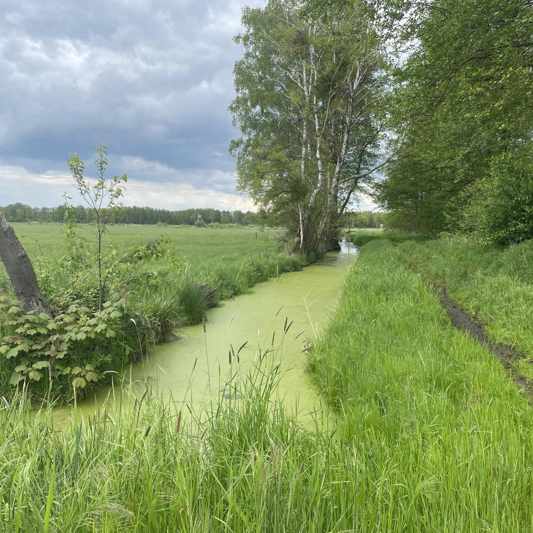
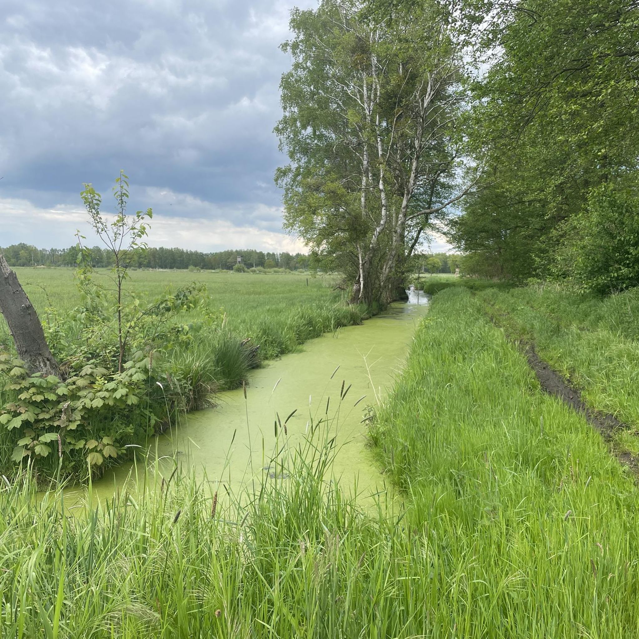
A nice tip for the route along the Steimker Graben: It's best to walk the route early in the morning or late in the afternoon, when it's quieter and the light is particularly pleasant. The route is well-suited for walking or cycling and offers plenty of greenery and a relaxed atmosphere right by the water – ideal for switching off for a while.
0
0

As I said, I would have liked to have seen it in peace, if it had been dry and I had had enough time.
0
0
It's a shame it was drizzling and I absolutely had to catch my train, otherwise I would have gladly taken my time again!
0
0
Very elaborate and created with great attention to detail.
0
0
Frequently Asked Questions
What kind of mountain biking can I expect in Schulenburgscher Drömling?
Mountain biking in Schulenburgscher Drömling is characterized by a predominantly flat, lowland landscape, historically marshland. The terrain features a network of ditches and watercourses, wet meadows, and alder forests. This region, part of a UNESCO Biosphere Reserve, offers tranquil routes with minimal elevation changes, making it suitable for less technical mountain biking. While most routes are easy to moderate, there are a few more challenging options available.
How many mountain bike trails are available in Schulenburgscher Drömling?
There are over 70 mountain bike trails in Schulenburgscher Drömling documented on komoot. These routes cater to various skill levels, with 29 easy, 41 moderate, and 2 difficult trails.
Are there any family-friendly mountain bike trails in Schulenburgscher Drömling?
Yes, the flat and gentle terrain of Schulenburgscher Drömling makes it ideal for family-friendly rides. Many of the 29 easy trails are suitable for families. For example, the Backhaus Croya loop from Zicherie is an easy 12.3-mile (19.7 km) path that offers a relaxed ride through tranquil natural surroundings, perfect for enjoying the diverse flora and fauna with children.
What do other mountain bikers enjoy most about the trails in Schulenburgscher Drömling?
The trails in Schulenburgscher Drömling are highly rated by the komoot community, with an average score of 4.6 stars from over 100 reviews. Riders often praise the tranquil wetland and forest landscapes, the well-maintained paths, and the opportunity to experience the unique natural beauty of the UNESCO Biosphere Reserve.
Are there any loop mountain bike trails in Schulenburgscher Drömling?
Yes, many of the mountain bike trails in Schulenburgscher Drömling are loops, allowing you to start and end at the same point. Popular loop options include the Black Bridge – Kunrau Castle loop from Böckwitz, a moderate 15.2-mile (24.4 km) trail, and the Black Bridge – Rimpau Memorial Stone loop from Jahrstedt, a longer 28.2-mile (45.4 km) moderate route.
What is the best time of year for mountain biking in Schulenburgscher Drömling?
The Drömling region, with its lowland and wetland characteristics, is generally pleasant for cycling from spring through autumn. Spring offers blooming flora, while autumn provides beautiful colors. Summer is also suitable, though some paths might be more exposed. Winter riding is possible, but be prepared for potentially damp or icy conditions on the flat terrain.
Are there any challenging mountain bike routes for advanced riders?
While Schulenburgscher Drömling is predominantly flat and offers mostly easy to moderate trails, there are a couple of routes classified as difficult. These might involve slightly rougher terrain or longer distances, but significant elevation changes or technical descents typical of traditional mountain biking are rare due to the region's natural landscape.
Where can I find parking for mountain bike trails in Schulenburgscher Drömling?
Many trailheads for routes in Schulenburgscher Drömling are located near villages or accessible points where parking is typically available. For specific routes, such as the Giebelmoor loop from Rühen or the Baggersee Ehra-Lessien – Old Pond loop from Samtgemeinde Brome, you can usually find parking in or near the starting villages mentioned in the route descriptions.
Are there any viewpoints along the mountain bike trails in Schulenburgscher Drömling?
Given the flat nature of the Drömling, panoramic views are often found from observation towers rather than natural elevations. The region is known for its tranquility and opportunities for birdwatching. While specific viewpoints directly on mountain bike trails are not highlighted, you can often find observation towers, such as the Aussichtsturm im Drömling, within the broader Drömling Nature Park, offering expansive views of the wetland landscape.
What is the average distance of mountain bike trails in Schulenburgscher Drömling?
The mountain bike trails in Schulenburgscher Drömling vary in length. For example, the Backhaus Croya loop from Zicherie is 12.3 miles (19.7 km), while the Black Bridge – Rimpau Memorial Stone loop from Jahrstedt extends to 28.2 miles (45.4 km). You'll find a good range of distances to suit different preferences and fitness levels.
Can I find cafes or places to eat near the mountain bike trails?
The Drömling region is sparsely populated, but you can often find cafes or small eateries in the villages that serve as starting points or pass-through locations for the trails. It's advisable to check local listings for villages like Böckwitz, Zicherie, Jahrstedt, Rühen, or Samtgemeinde Brome to plan your refreshment stops.
Most popular routes in Schulenburgscher Drömling

Get inspired with the komoot mobile app


Explore more
Browse the best MTB trails in other regions.
