The best walks and hikes around The Municipal District of Wicklow
4.6
(4582)
27,383
hikers
207
hikes
Hiking around The Municipal District of Wicklow reveals a landscape shaped by glacial activity, featuring majestic mountains, serene upland lakes, and dramatic valleys. The region is characterized by the extensive Wicklow Mountains National Park, which includes diverse terrain from forest tracks to mountain paths. This area offers a comprehensive network of well-marked trails, catering to various levels of hiking experience.
Best hiking trails around The Municipal District of Wicklow
- The most popular hiking route is Spinc and the White Route…
Last updated: August 27, 2026
4.9
(939)
5,070
hikers
Moderate hike. Good fitness required. Mostly accessible paths. Sure-footedness required.
4.6
(98)
315
hikers
11.0km
03:24
410m
410m
Moderate hike. Good fitness required. Mostly accessible paths. Sure-footedness required.

Sign up for free
4.5
(116)
372
hikers
10.1km
02:50
200m
200m
Moderate hike. Good fitness required. Easily-accessible paths. Suitable for all skill levels.
4.8
(56)
235
hikers
15.3km
05:42
630m
630m
Hard hike. Very good fitness required. Mostly accessible paths. Sure-footedness required.
4.5
(39)
141
hikers
11.4km
03:59
480m
480m
Moderate hike. Good fitness required. Mostly accessible paths. Sure-footedness required.
4.7
(27)
106
hikers
7.30km
02:05
170m
170m
Moderate hike. Good fitness required. Easily-accessible paths. Suitable for all skill levels.
4.7
(26)
166
hikers
11.4km
02:58
70m
70m
Moderate hike. Good fitness required. Easily-accessible paths. Suitable for all skill levels.
4.6
(19)
174
hikers
6.44km
01:59
30m
30m
Easy hike. Great for any fitness level. Easily-accessible paths. Suitable for all skill levels.
4.8
(27)
84
hikers
12.8km
04:06
490m
490m
Moderate hike. Good fitness required. Mostly accessible paths. Sure-footedness required.
5.0
(8)
47
hikers
21.3km
07:36
900m
910m
Hard hike. Very good fitness required. Mostly accessible paths. Sure-footedness required.
Get access to more routes and recommendations from other explorers.
Sign up for free
Already have an account?
Our route recommendations are based on thousands of hikes, rides, and runs completed by other people on komoot.
Start today with a free account
Your next adventure awaits.
Login or Signup
Popular around The Municipal District of Wicklow
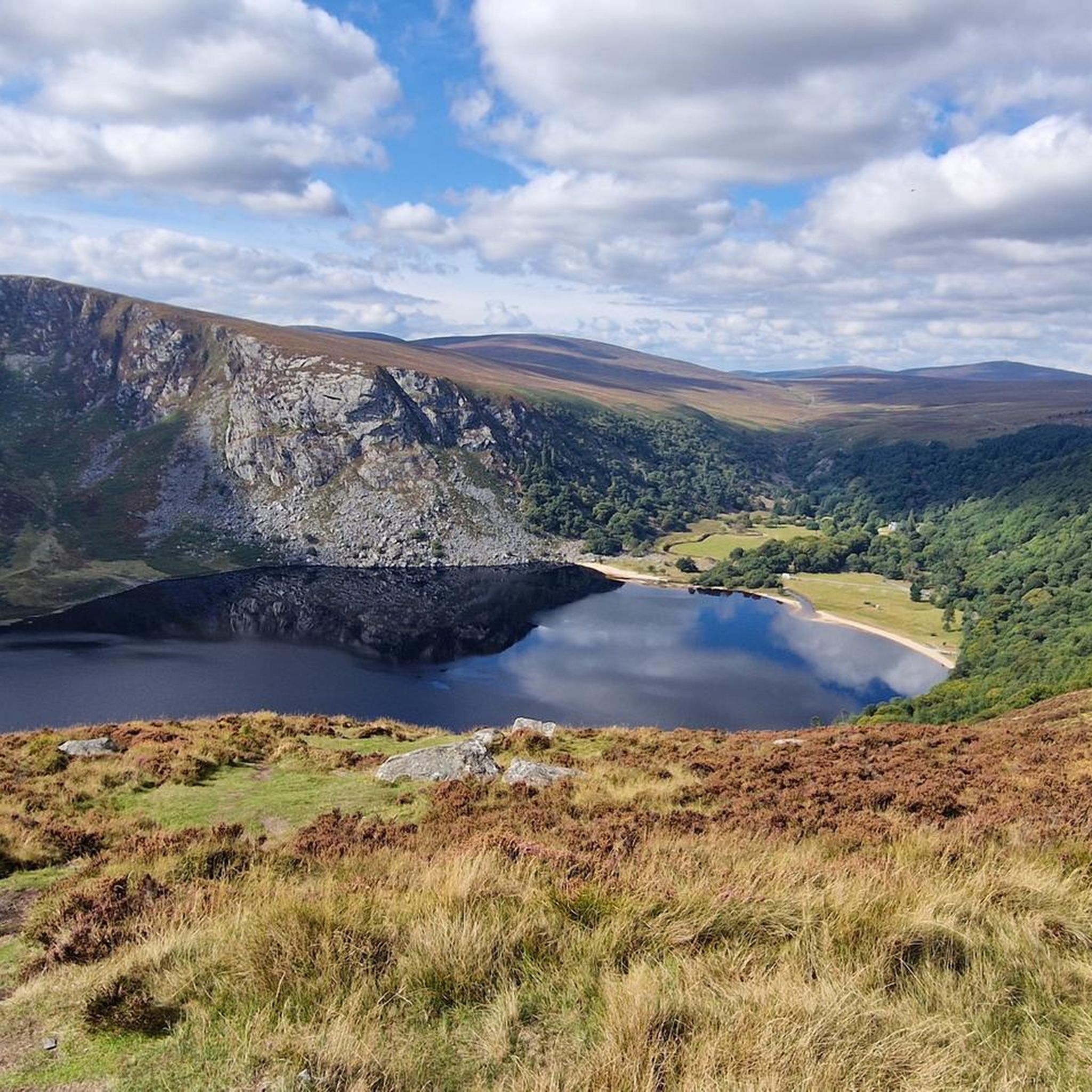
Hiking around Lough Tay
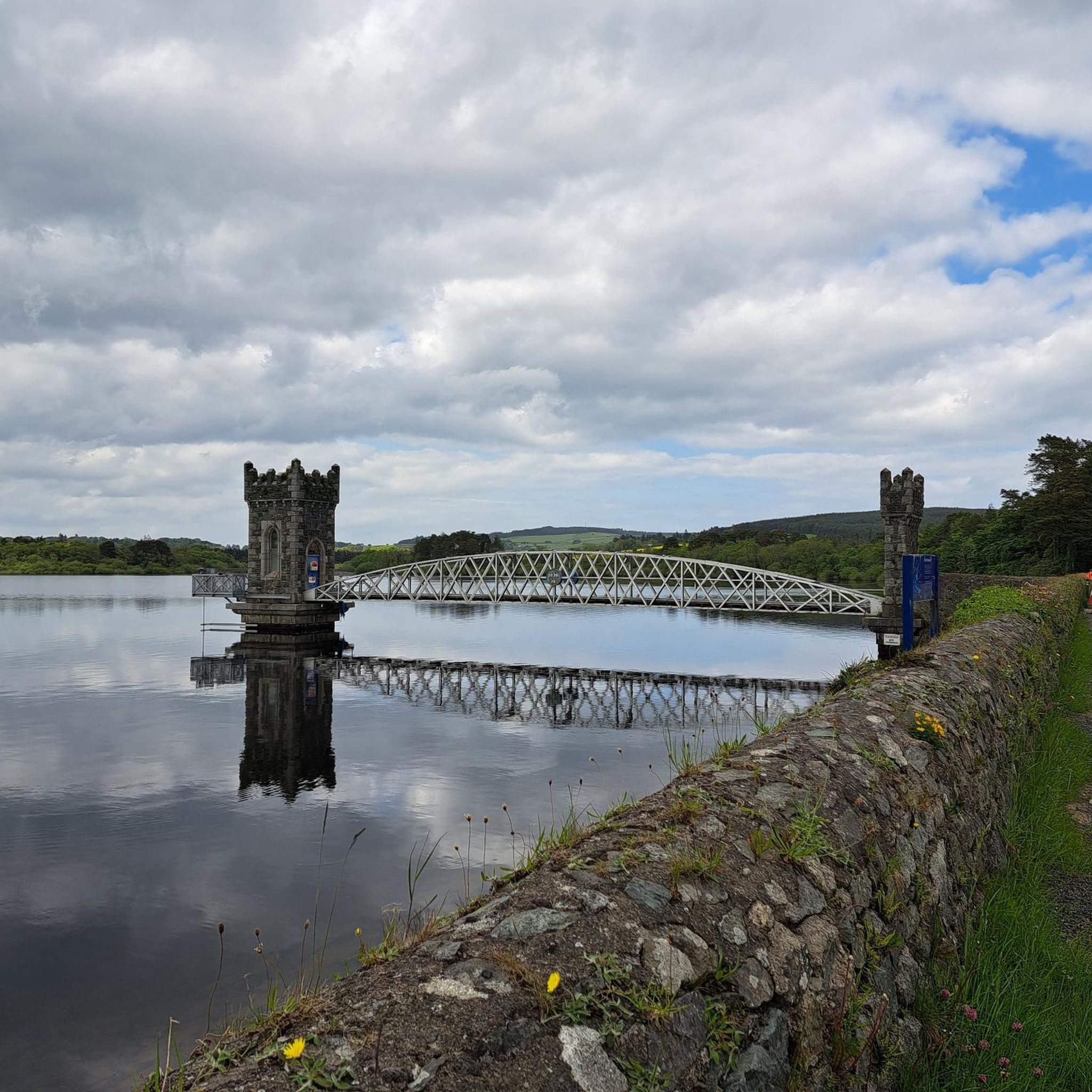
Hiking around Vartry Reservoir Lower
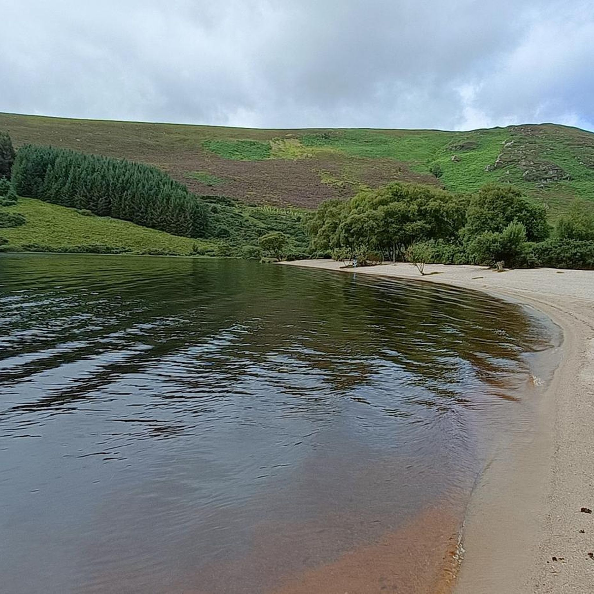
Hiking around Lough Dan
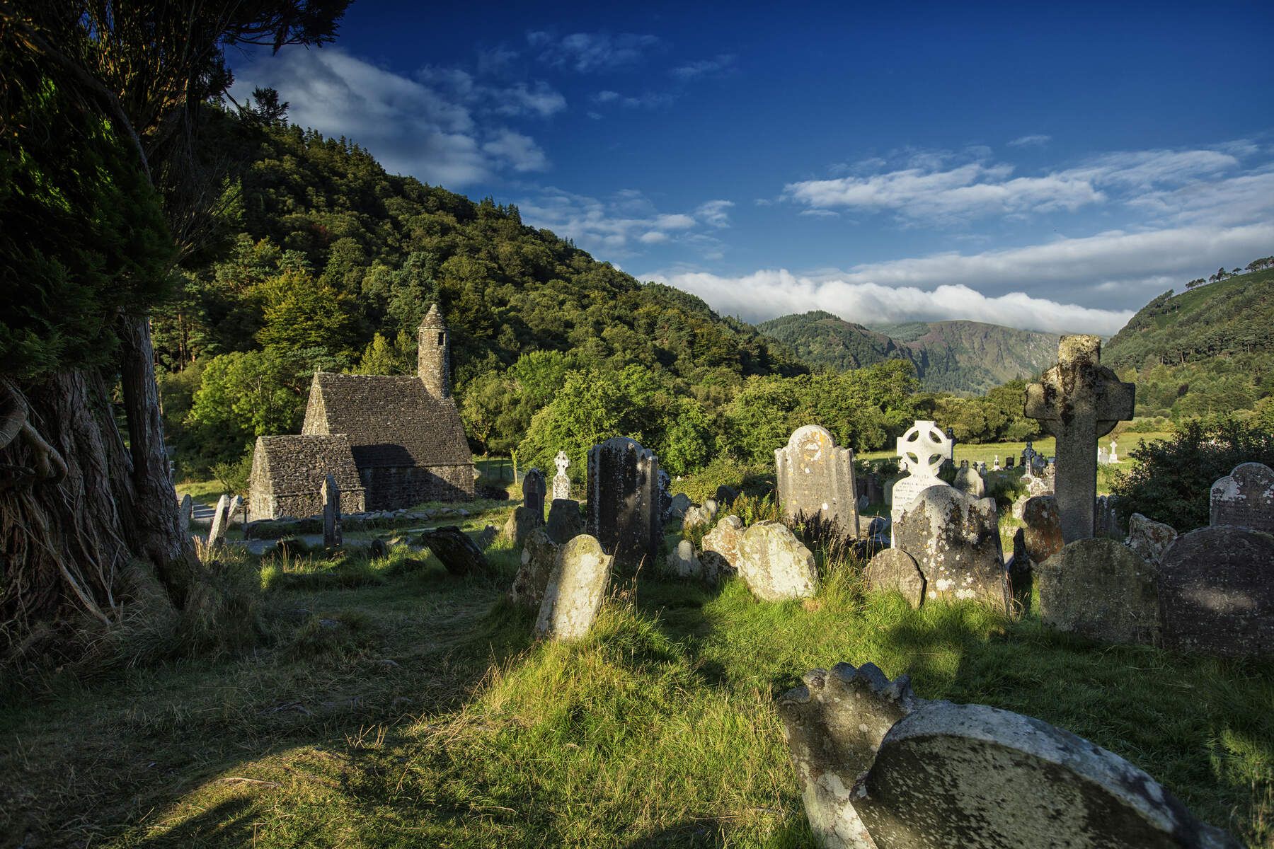
The Wicklow Way — discover Ireland's east

Follow the water - Along Ireland's rivers and lakes
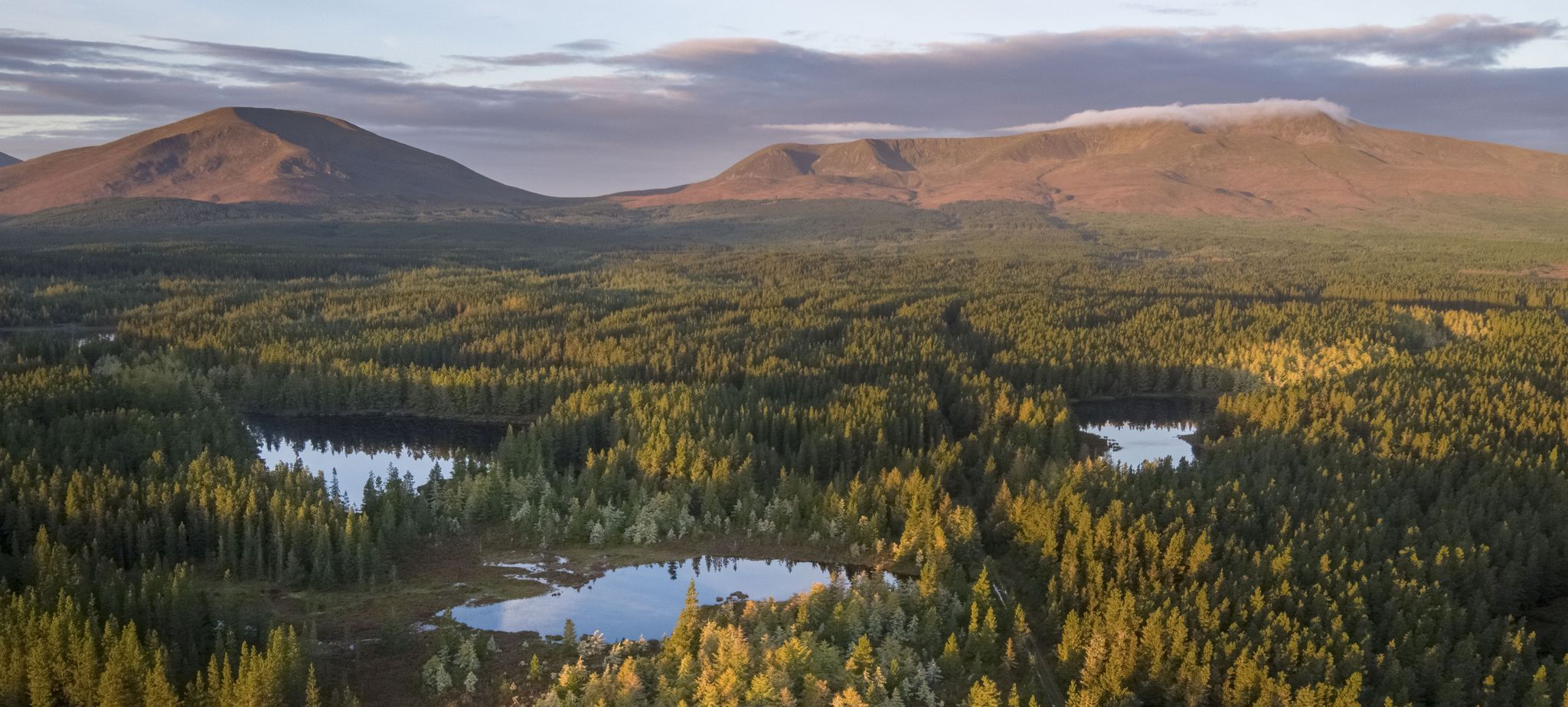
Discover Ireland's unspoilt nature in its national parks

Ireland's blue rivers and lakes – walks along the water

Discover Ireland's past – historical walks on the Emerald Isle
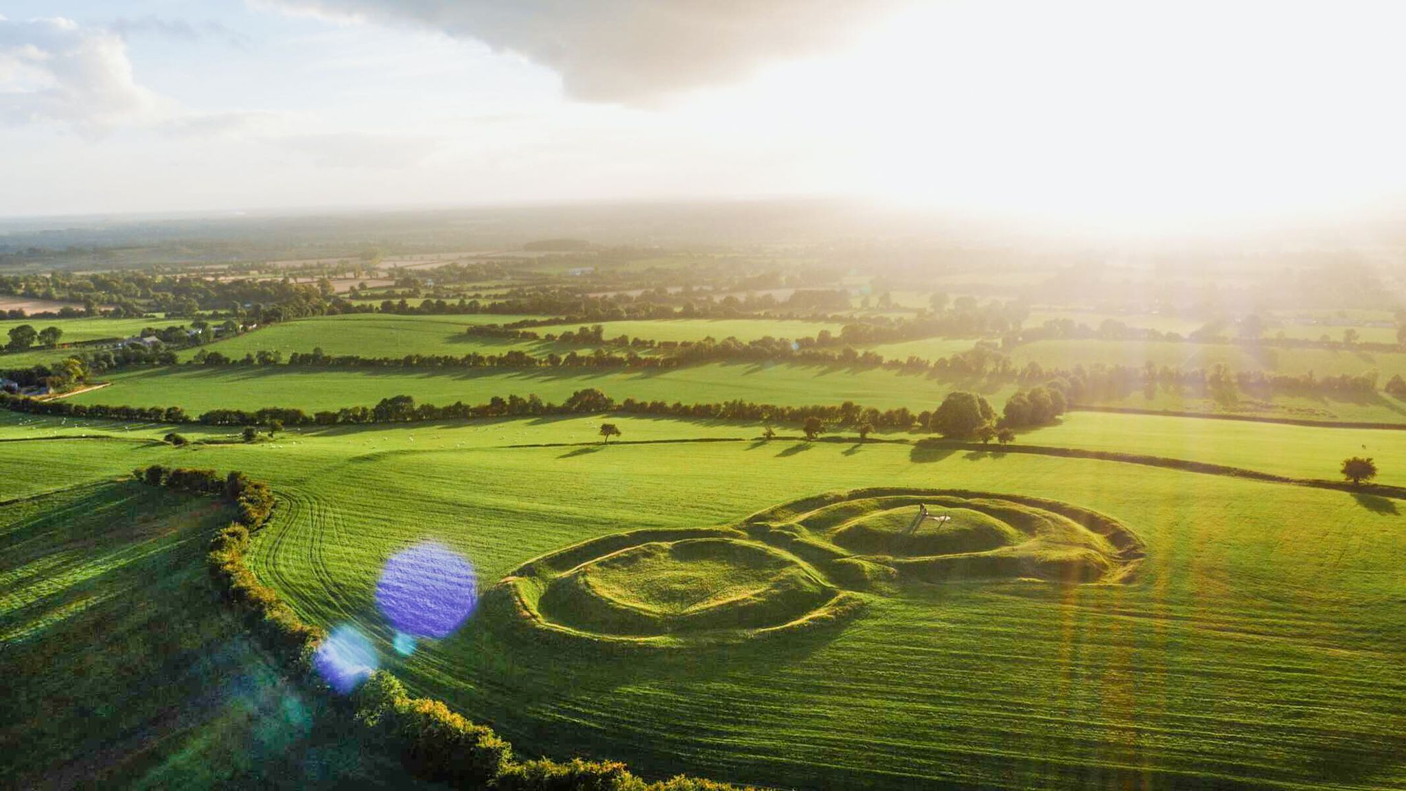
The magical east of Ireland – ancient places, scenic lakes and rocky mountains
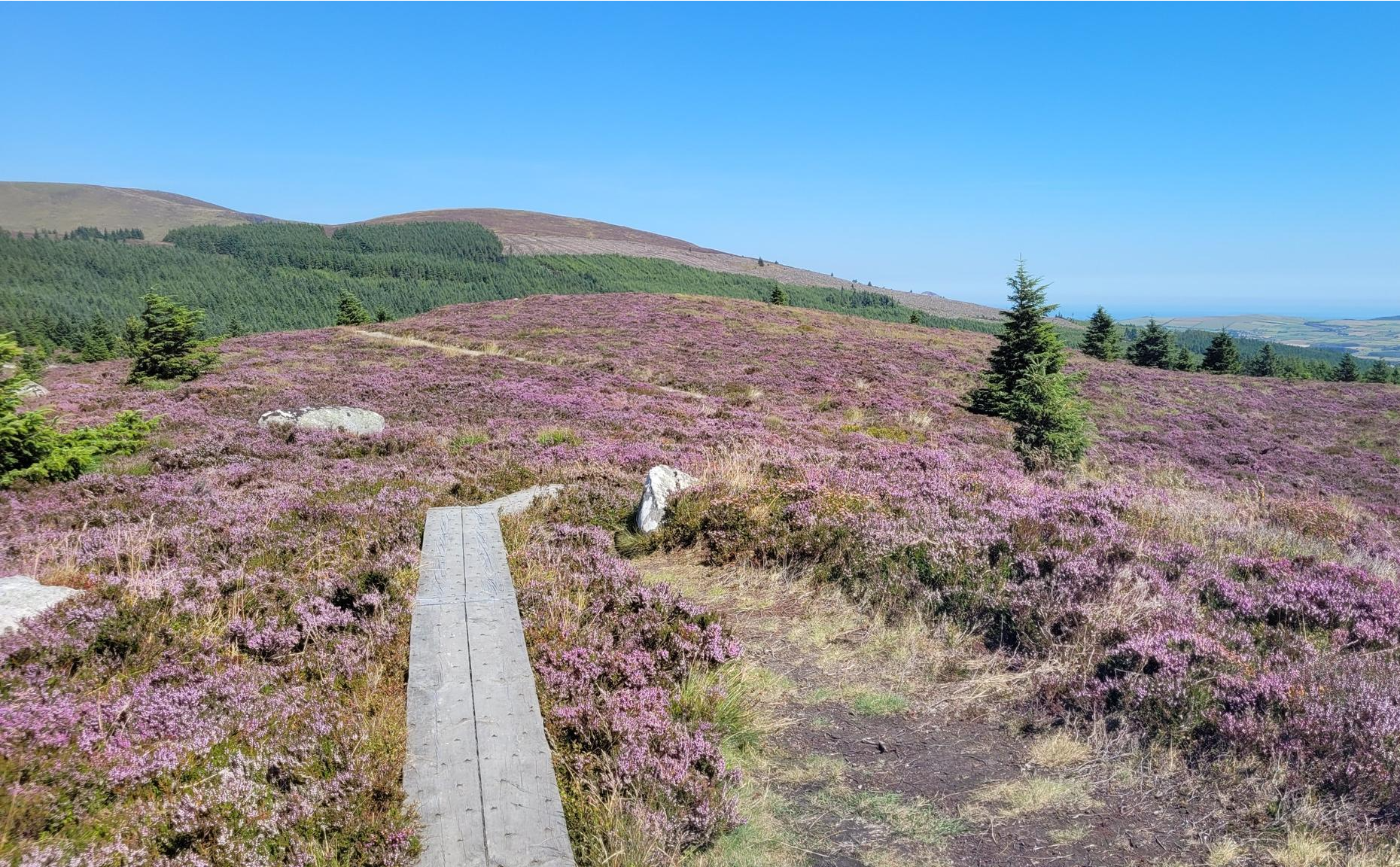
Running the Wicklow Way – From the city to the mountains
Other adventures around The Municipal District of Wicklow


Tips from the Community

Breathtaking natural beauty with a view of the monastery complex.
0
0

A really great old monastery complex - there is a lot to see
0
0
A great view from there!
0
0

From here you have a beautiful view over the river to the Tower.
0
0
Entrance to the monastery settlement.
0
0

Very special place with old graves standing askew. The whole area breathes a distant mystical history.
0
0
Frequently Asked Questions
How many hiking trails are available in The Municipal District of Wicklow?
The Municipal District of Wicklow offers a vast network of trails, with over 200 hiking routes available. These range from easy strolls to challenging mountain ascents, catering to all levels of experience.
What do other hikers enjoy most about the trails in The Municipal District of Wicklow?
The area is highly rated by the komoot community, with an average score of 4.6 stars from over 2,500 reviews. Hikers frequently praise the diverse landscapes, from majestic mountains and serene lakes to dramatic glacial valleys, and the extensive network of well-marked trails.
What is the best time of year to go hiking in The Municipal District of Wicklow?
The Municipal District of Wicklow is beautiful year-round, but spring (April-May) and autumn (September-October) often provide the most pleasant hiking conditions with milder temperatures and stunning scenery. Summer offers longer daylight hours, while winter can be challenging with colder weather and potentially icy conditions at higher elevations.
Are there easy hiking options suitable for beginners or casual walkers?
Yes, The Municipal District of Wicklow has plenty of easy hiking options. There are 59 easy routes available, many of which are tranquil strolls around lakes or through forests. For example, the Upper Vartry Trail is an easy option, and the Green Road Walk in Glendalough offers a gentle experience around the Lower Lake.
Are there challenging hikes for experienced trekkers in the region?
Absolutely. For experienced trekkers, there are 53 difficult routes available. Trails like Scarr, Laragh & Lough Ouler loop from Glenmacnas Waterfall offer significant elevation gain and longer distances. The Wicklow Mountains National Park, with its rugged terrain and mountain ascents, provides ample opportunities for challenging expeditions.
Can I find circular hiking routes in The Municipal District of Wicklow?
Yes, many of the trails in The Municipal District of Wicklow are circular, allowing you to start and end at the same point. Examples include the popular J. B. Malone Memorial & Djouce loop and the Glendalough Monastic Site loop from Laragh.
Are there any hikes that feature waterfalls?
Yes, several hikes in The Municipal District of Wicklow feature beautiful waterfalls. The Spinc and the White Route from Glendalough descends past Poulanass Waterfall. Powerscourt Waterfall, Ireland's tallest, is also a prominent feature in the region, and the Devil's Glen Forest Walks include a beautiful waterfall.
What natural features or landmarks can I expect to see on the trails?
The trails in The Municipal District of Wicklow showcase diverse natural beauty. You can expect to see majestic mountains like Djouce Summit and the distinctive Great Sugarloaf, serene upland lakes such as Upper Lake, Glendalough and Lough Tay (Guinness Lake), and dramatic glacial valleys like Glendalough. The region is also home to extensive forests and vigorous mountain streams.
Are there any historical sites to explore while hiking?
Yes, the region is rich in history. The Glendalough valley is home to a historic 6th-century monastic settlement established by Saint Kevin, including the iconic Glendalough Monastic Site and Round Tower. You can explore these sites on trails like the Glendalough Monastic Site loop from Laragh.
Are the hiking trails in The Municipal District of Wicklow dog-friendly?
Many trails in The Municipal District of Wicklow are dog-friendly, but it's important to check specific regulations for each route, especially within the Wicklow Mountains National Park where dogs may need to be kept on a lead to protect wildlife and livestock. Always ensure your dog is under control and clean up after them.
Are there family-friendly hiking options in the region?
Yes, The Municipal District of Wicklow offers several family-friendly hiking options. Many easy and moderate trails are suitable for families, such as the gentle walks around Glendalough's Lower Lake or the Upper Vartry Trail. Powerscourt Estate also provides family-friendly amenities alongside its impressive waterfall.
Is public transport available to reach hiking trailheads?
While some areas are accessible by public transport, particularly Glendalough, many trailheads in the more remote parts of the Wicklow Mountains National Park are best reached by car. It's advisable to check local bus schedules and routes in advance if you plan to rely on public transport for specific trails.
Where can I find parking for hiking trails in The Municipal District of Wicklow?
Parking is generally available at popular trailheads and visitor centers, such as Glendalough. Some car parks may require a fee. For more remote trails, parking might be limited to roadside pull-offs. Always park responsibly and considerately, especially in rural areas.
Most popular routes around The Municipal District of Wicklow
Most popular attractions around The Municipal District of Wicklow

Get inspired with the komoot mobile app


Didn’t find what you were looking for?
Check out more Hikes throughout The Municipal District of Wicklow below and find the perfect route in your destination.
Explore more
Browse the best Hikes in other regions.
