The best road cycling routes around The Municipal District of Wicklow
4.4
(36)
3,063
riders
95
rides
Road cycling routes around The Municipal District of Wicklow traverse a landscape characterized by the Wicklow Mountains National Park, featuring prominent mountain passes and glacial valleys. The region offers varied terrain, from the challenging climbs of Sally Gap and Wicklow Gap to the gentler routes around Blessington Lakes. Cyclists encounter a mix of moorland, forested sections, and scenic reservoir views on minor roads.
Best road cycling routes in The Municipal District of Wicklow
- The most popular road cycling route is…
Last updated: August 31, 2026
4.7
(3)
141
riders
73.9km
03:33
1,000m
1,000m
Hard road ride. Very good fitness required. Mostly well-paved surfaces and easy to ride.
5.0
(1)
79
riders
69.6km
03:24
1,020m
1,020m
Hard road ride. Very good fitness required. Mostly well-paved surfaces and easy to ride.

Sign up for free
42
riders
101km
05:02
1,540m
1,540m
Hard road ride. Very good fitness required. Mostly well-paved surfaces and easy to ride.
4.3
(3)
17
riders
47.8km
02:12
500m
500m
Moderate road ride. Good fitness required. Mostly well-paved surfaces and easy to ride.
12
riders
55.9km
02:48
870m
870m
Moderate road ride. Good fitness required. Mostly well-paved surfaces and easy to ride.
5.0
(2)
92
riders
60.9km
03:34
1,170m
1,170m
Hard road ride. Very good fitness required. Some segments of this route may be unpaved and difficult to ride.
4.0
(1)
64
riders
33.0km
01:51
590m
600m
Moderate road ride. Good fitness required. Mostly well-paved surfaces and easy to ride.
46
riders
67.8km
03:46
1,390m
1,390m
Hard road ride. Very good fitness required. Some segments of this route may be unpaved and difficult to ride.
46
riders
33.8km
01:32
280m
280m
Easy road ride. Great for any fitness level. Mostly well-paved surfaces and easy to ride.
30
riders
77.3km
03:42
1,040m
1,040m
Hard road ride. Very good fitness required. Mostly well-paved surfaces and easy to ride.
Get access to more routes and recommendations from other explorers.
Sign up for free
Already have an account?
Our route recommendations are based on thousands of hikes, rides, and runs completed by other people on komoot.
Start today with a free account
Your next adventure awaits.
Login or Signup
Popular around The Municipal District of Wicklow
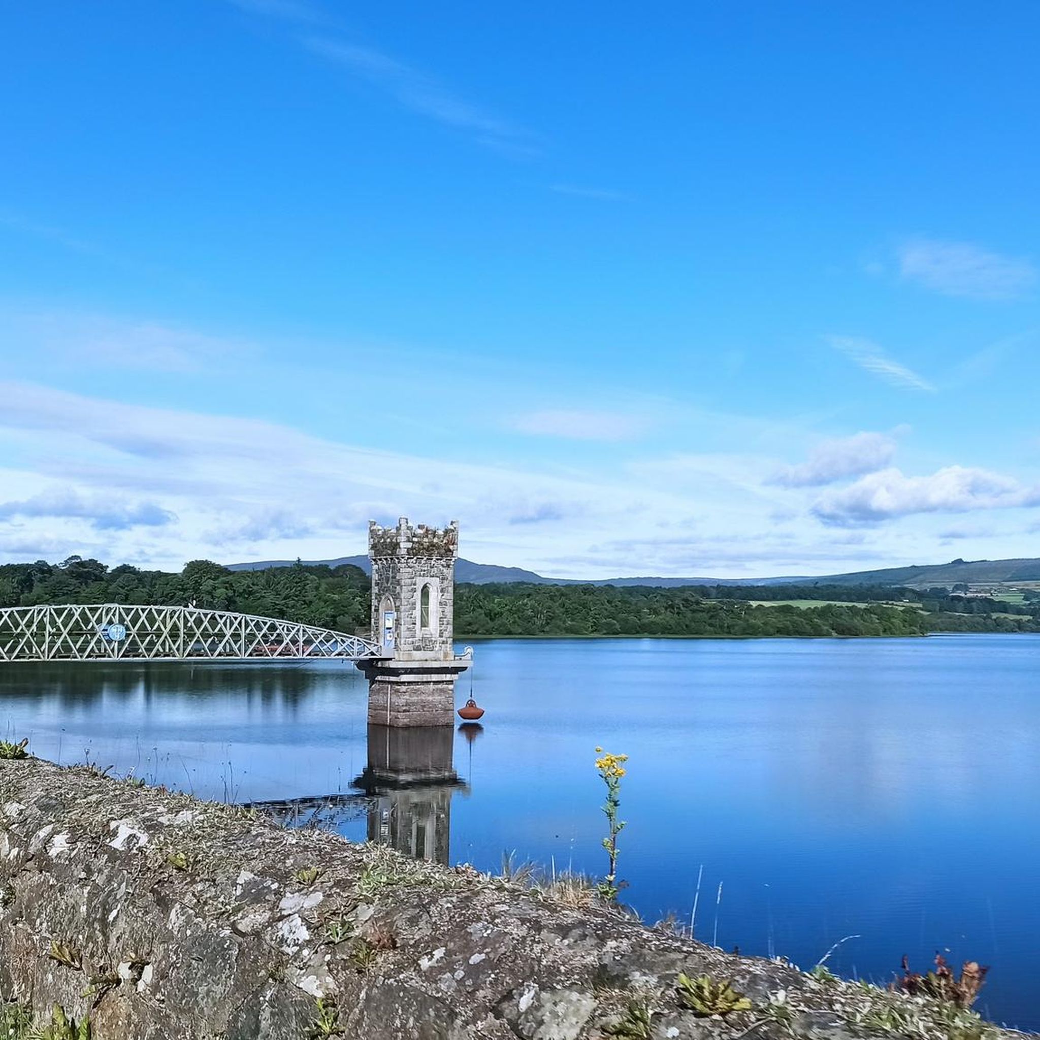
Road Cycling Routes around Vartry Reservoir Lower
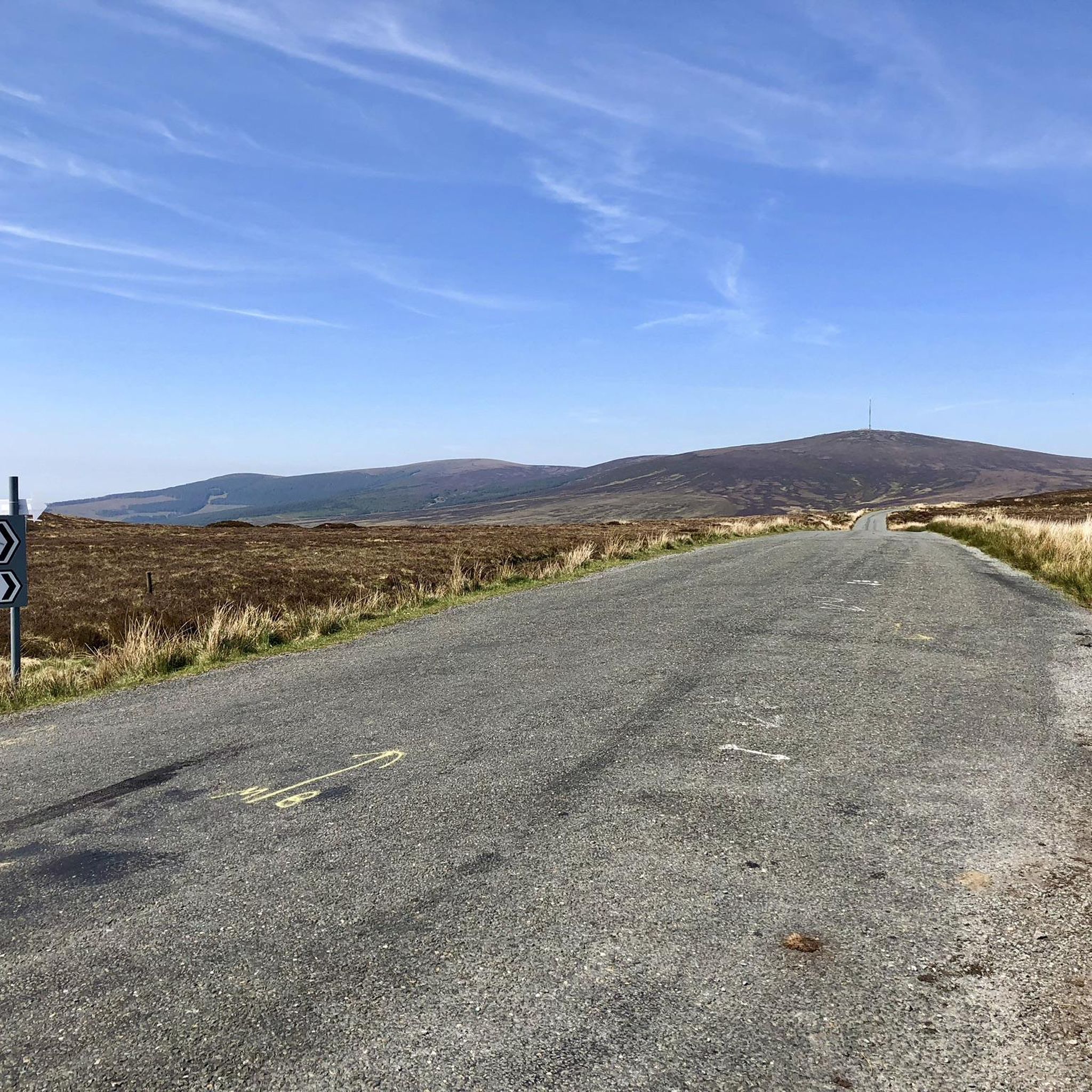
Road Cycling Routes around Lough Tay
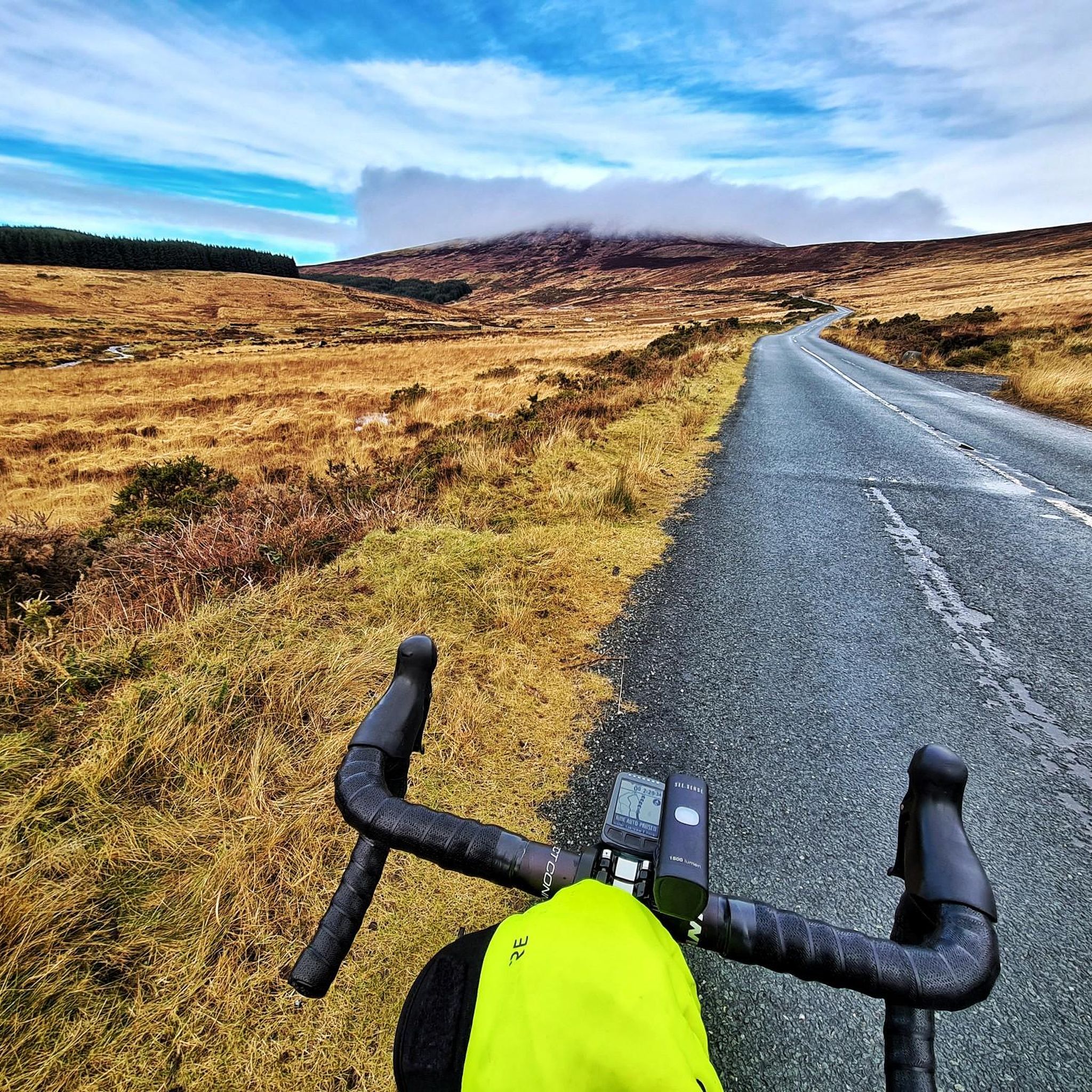
Road Cycling Routes around Lough Dan
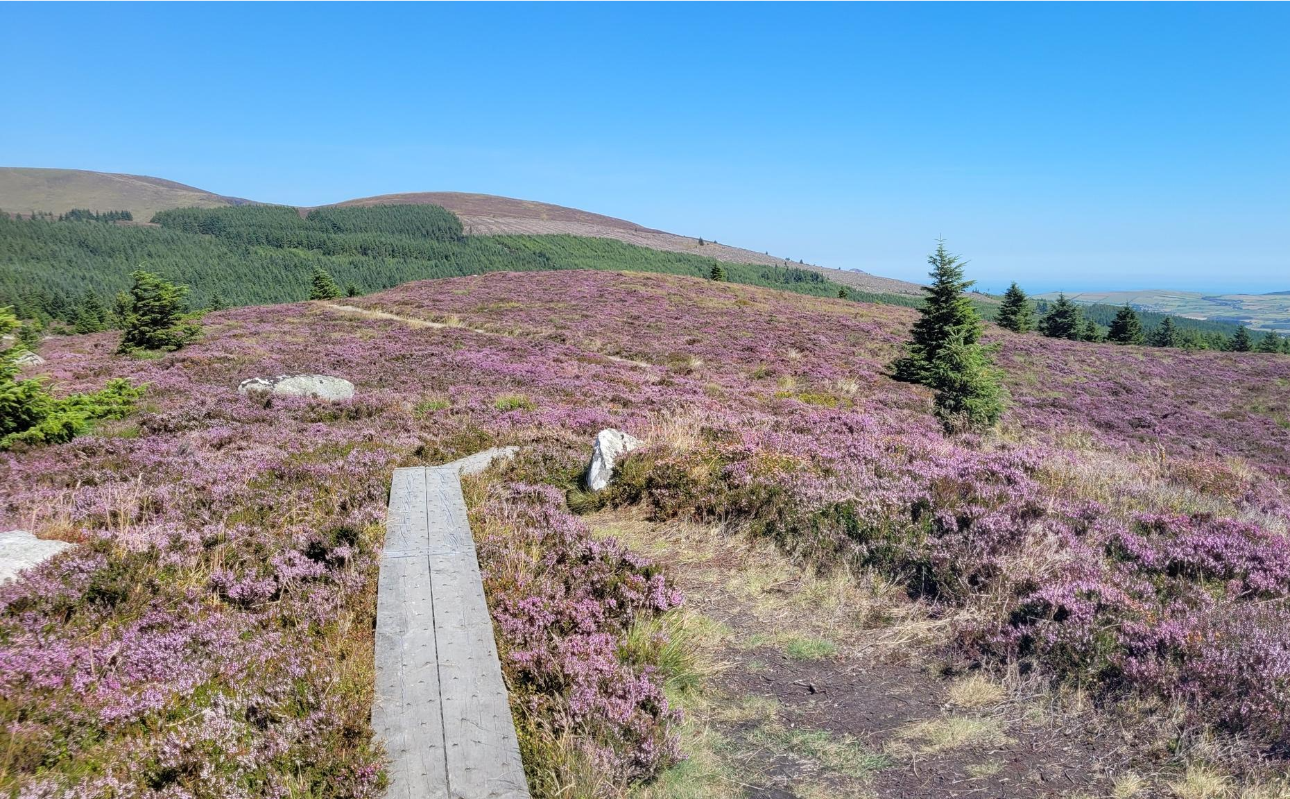
Running the Wicklow Way – From the city to the mountains
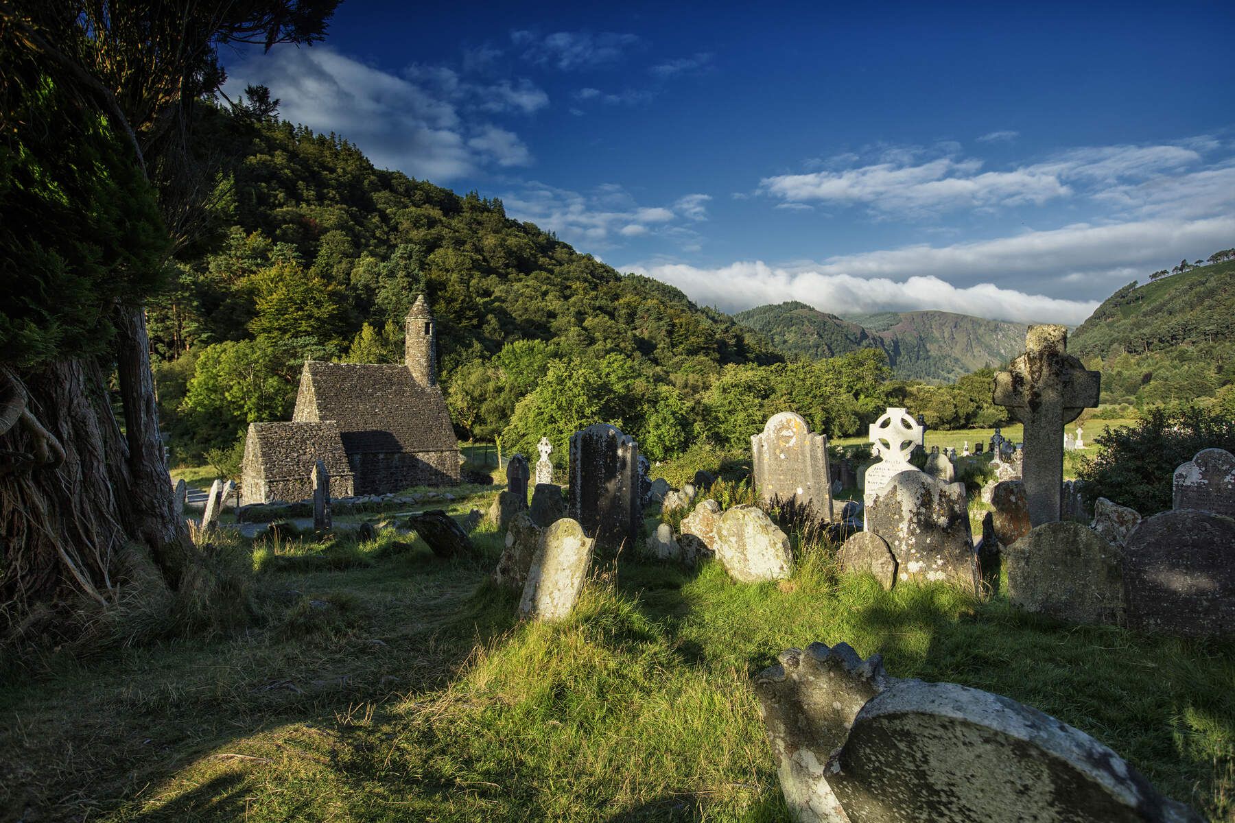
The Wicklow Way — discover Ireland's east

Follow the water - Along Ireland's rivers and lakes
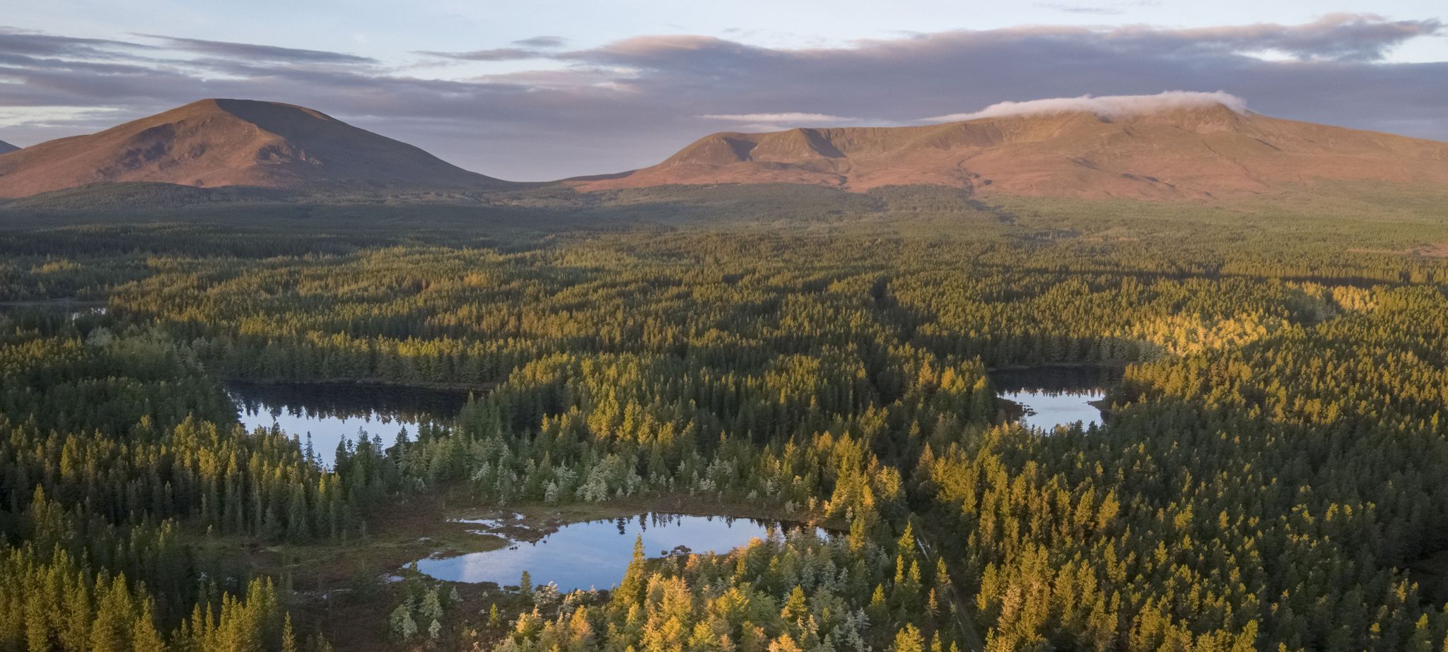
Discover Ireland's unspoilt nature in its national parks

Ireland's blue rivers and lakes – walks along the water

Discover Ireland's past – historical walks on the Emerald Isle
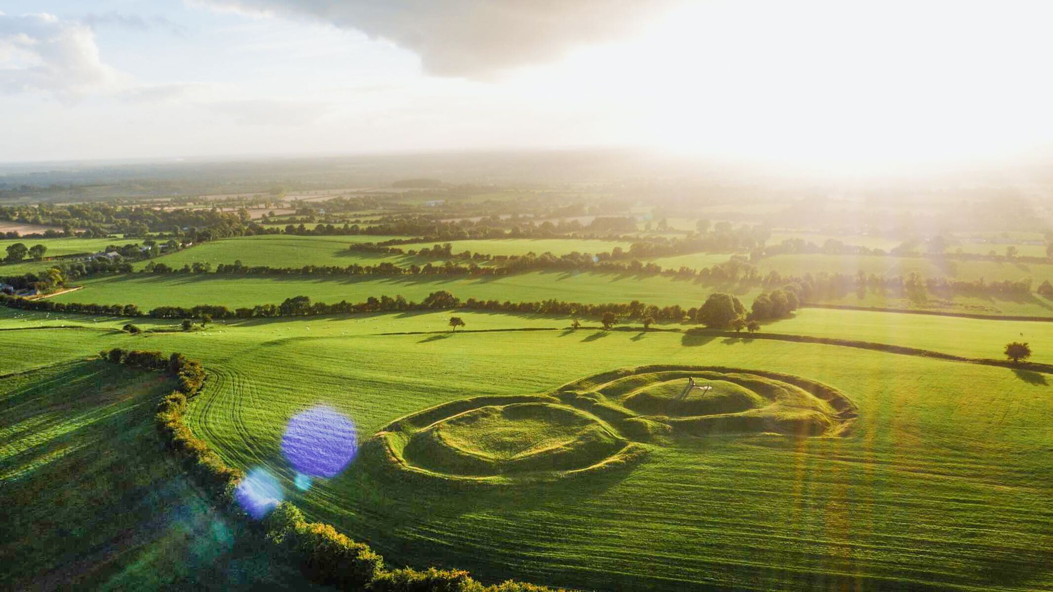
The magical east of Ireland – ancient places, scenic lakes and rocky mountains
Other adventures around The Municipal District of Wicklow


Tips from the Community

The Newcastle Heritage Way is a 3.5 km (2.2 mile) loop west of Newcastle village. Mainly on quiet roads it takes in the castle and church from where the village gets its name.
0
0

A really great old monastery complex where there is a lot to discover.
0
0

Friendly service and plenty of space inside and outside.
8
0
The Glenmacnass Waterfall cascades 80–100 metres down several broad steps into a carved U‑shaped valley, one of the wildest landscapes in the Wicklow Mountains. From the R115, you have a frontal view of the granite ledge over which the water falls, with open moorland, peat slopes, and the river winding its way towards Laragh.
8
0
The waterfall plunges in multiple stages, 80–100 meters, down a wide granite ledge. The combination of steep walls, open highlands, and the winding river below makes this one of the most dramatic panoramas in the entire R115 corridor.
6
0
Sally Gap, one of the highest and most open crossroads in the Wicklow Mountains. Here, the R759 and the Old Military Road (R115) intersect at over 500 meters altitude, in the middle of a vast moorland and heath landscape without buildings or shelter. The panorama is a full 360°: the dark bogs of Liffey Head Bog, the flanks of Kippure, the valleys towards Glencree, and the long, empty Military Road that runs like a pencil line through the highlands. This location is world-famous as a backdrop for films and series such as Braveheart, Vikings, and P.S. I Love You.
8
0
For the cyclist, this is the main attraction. The café is located in the old armoury and is known for its hearty soups, homemade cakes, and good coffee. You could almost call it a cycling café.
7
0
Frequently Asked Questions
How many road cycling routes are available in The Municipal District of Wicklow?
The Municipal District of Wicklow offers a wide selection of road cycling routes, with over 100 tours available on komoot. These routes cater to various skill levels, including 18 easy, 63 moderate, and 23 difficult options.
What kind of terrain can I expect when road cycling in Wicklow?
Wicklow's landscape is incredibly varied, offering everything from challenging mountain passes like Sally Gap and Wicklow Gap with significant elevation gains, to more gentle routes around the Blessington Lakes. You'll encounter moorland, forested sections, and scenic reservoir views on quiet country roads.
What do other road cyclists enjoy most about the routes in The Municipal District of Wicklow?
The area is highly rated by the komoot community, with an average score of 4.5 stars from over 10 reviews. Cyclists frequently praise the stunning and varied landscapes, the challenging climbs, and the breathtaking scenery, making it a premier cycling destination.
Are there any routes that feature waterfalls?
Yes, several routes offer views of beautiful waterfalls. For instance, the Glenmacnass Waterfall – Sally Gap loop from Roundwood passes by the prominent Glenmacnass Waterfall. Other waterfalls like Poulanass Waterfall can also be found in the region.
Can I find routes that pass by lakes or reservoirs?
Absolutely. The Blessington Lakes (Poulaphouca Reservoir) area provides picturesque lake views on quiet country roads. The Wicklow Gap, Blessington and Sally Gap loop from Laragh offers views of the Blessington Lakes. The Vartry Reservoir also features serene water views, such as on the Glendalough Grocery – Wicklow Way loop from Vartry Reservoir Upper.
What are some notable landmarks or attractions I can see along the cycling routes?
Wicklow is rich in historical and natural landmarks. You can cycle near the historic Glendalough Monastic Site, enjoy panoramic views from Sally Gap, or pass by the View of Lough Tay. Powerscourt Estate and Russborough House are also notable attractions in the region.
Are there any family-friendly road cycling options in Wicklow?
While many routes are challenging, the Blessington Lakes area offers gentler, family-friendly options on quiet country roads. The Blessington Greenway is a dedicated path suitable for cycling, connecting Blessington town with Russborough House, providing a safe and scenic experience for families.
What are some of the most challenging climbs for advanced cyclists?
For advanced cyclists seeking a challenge, the Sally Gap and Wicklow Gap are iconic mountain passes known for their extensive ascents and steep gradients. The Great Sugar Loaf also presents a demanding climb that rewards with expansive 360-degree views. Routes like the Sally Gap and Slieve Man loop from Roundwood offer significant elevation gain.
What is the best time of year for road cycling in The Municipal District of Wicklow?
The Municipal District of Wicklow is a popular cycling destination year-round, but the spring and summer months (April to September) generally offer the most favorable weather conditions for road cycling, with longer daylight hours and milder temperatures. Autumn can also be beautiful with vibrant foliage, though weather can be more unpredictable.
Are there routes that include stops for refreshments or cafes?
Many routes in Wicklow pass through or near towns and villages where you can find cafes, pubs, and accommodation. Areas around Glendalough, Roundwood, and Blessington Lakes are good starting points for routes that offer opportunities for refreshment stops.
Where can I find parking for my car when starting a cycling route?
Parking is generally available in the towns and villages that serve as common starting points for routes, such as Laragh, Roundwood, and Blessington. Many routes within the Wicklow Mountains National Park also have designated parking areas, though these can fill up during peak times.
Can I access cycling routes using public transport?
While public transport options are available to some towns in Wicklow, direct access to all trailheads with a bicycle can be limited. It's advisable to check local bus or train services for their bicycle carriage policies and specific routes to plan your journey effectively.
Most popular routes around The Municipal District of Wicklow
Most popular attractions around The Municipal District of Wicklow

Get inspired with the komoot mobile app


Didn’t find what you were looking for?
Check out more Road cycling routes throughout The Municipal District of Wicklow below and find the perfect route in your destination.
Explore more
Browse the best Road cycling routes in other regions.
