The best traffic-free bike rides around The Municipal District of Wicklow
4.8
(7)
39
riders
8
rides
No traffic gravel bike trails around The Municipal District of Wicklow traverse a landscape characterized by diverse terrain, including extensive forest roads, mountain paths, and open moorlands. The region features significant elevation changes and a mix of surfaces, from gravel tracks to some paved sections. Glacial valleys and prominent natural features like Lough Tay contribute to the varied scenery. This area offers a network of routes suitable for different skill levels, primarily utilizing fire roads and quiet country lanes.
Best no traffic gravel bike trails around The Municipal District of Wicklow
- The most popular no traffic gravel bike trail is Exploring the Wicklow mountains loop from Wicklow, a 61.5 miles (98.9 km) trail that takes 8 hours 48 minutes to complete, offering extensive mountain views and varied surfaces.
- Another top favourite among local gravel bikers is From Roundwood to Three Rock mountain loop, a difficult 47.4 miles (76.2 km) path. This route navigates through mountainous terrain with notable elevation gains.
- Local gravel bikers also love the Exploring Deputy Pass woods from Rathdrum, a 15.8 miles (25.4 km) trail leading through woodlands and hills, often completed in about 2 hours 9 minutes.
- Gravel biking around The Municipal District of Wicklow is defined by extensive forest roads, challenging mountain paths, and open moorlands. The network offers options for different ability levels, from moderate to difficult routes.
- The routes in The Municipal District of Wicklow are highly rated by the komoot community with an average score of 4.7 stars from over 6 reviews. More than 30 gravel bikers have used komoot to explore The Municipal District of Wicklow's varied terrain.
Last updated: July 10, 2026
4
riders
98.9km
08:48
1,890m
1,890m
Hard gravel ride. Very good fitness required. Mostly paved surfaces. Suitable for all skill levels.
1
riders
76.2km
06:42
1,610m
1,620m
Hard gravel ride. Very good fitness required. Mostly paved surfaces. Suitable for all skill levels.

Sign up for free
112km
11:03
2,420m
2,420m
Hard gravel ride. Very good fitness required. You may need to push your bike for some segments of this route.
4.0
(1)
1
riders
25.4km
02:09
420m
420m
Moderate gravel ride. Good fitness required. Mostly paved surfaces. Suitable for all skill levels.
5.0
(1)
12
riders
13.7km
01:04
310m
310m
Moderate gravel ride. Good fitness required. Mostly paved surfaces. Suitable for all skill levels.
Get access to more routes and recommendations from other explorers.
Sign up for free
Already have an account?
Our route recommendations are based on thousands of hikes, rides, and runs completed by other people on komoot.
Start today with a free account
Your next adventure awaits.
Login or Signup
Popular around The Municipal District of Wicklow

Traffic-free bike rides around Lough Tay

Traffic-free bike rides around Vartry Reservoir Lower

Traffic-free bike rides around Lough Dan
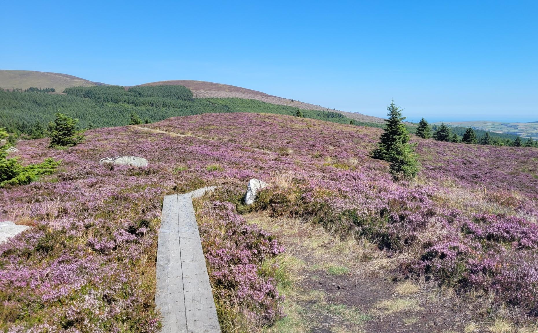
Running the Wicklow Way – From the city to the mountains
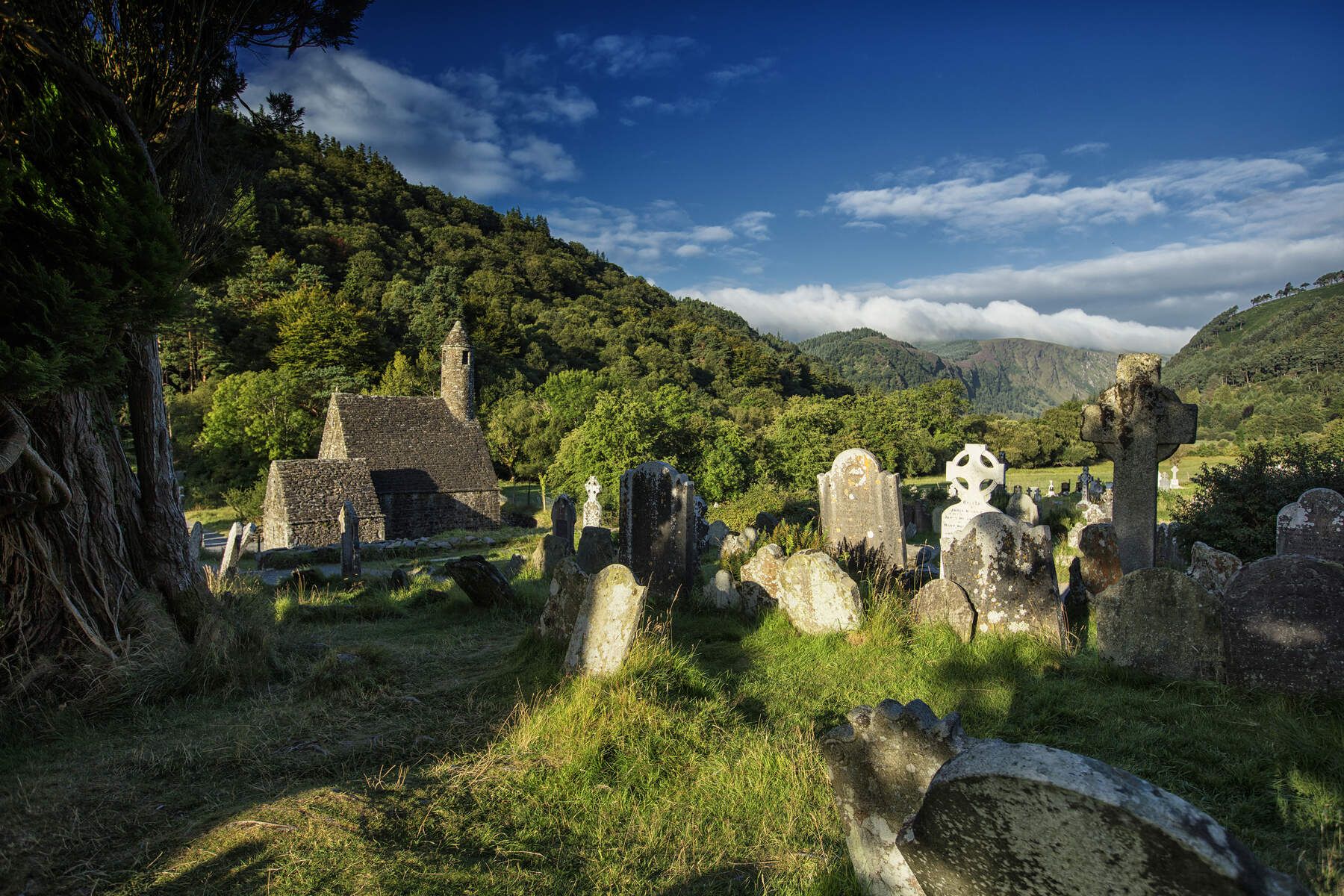
The Wicklow Way — discover Ireland's east

Follow the water - Along Ireland's rivers and lakes
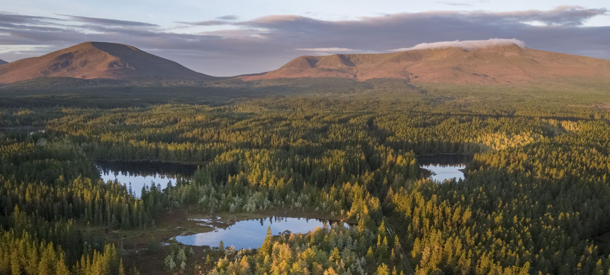
Discover Ireland's unspoilt nature in its national parks

Ireland's blue rivers and lakes – walks along the water

Discover Ireland's past – historical walks on the Emerald Isle
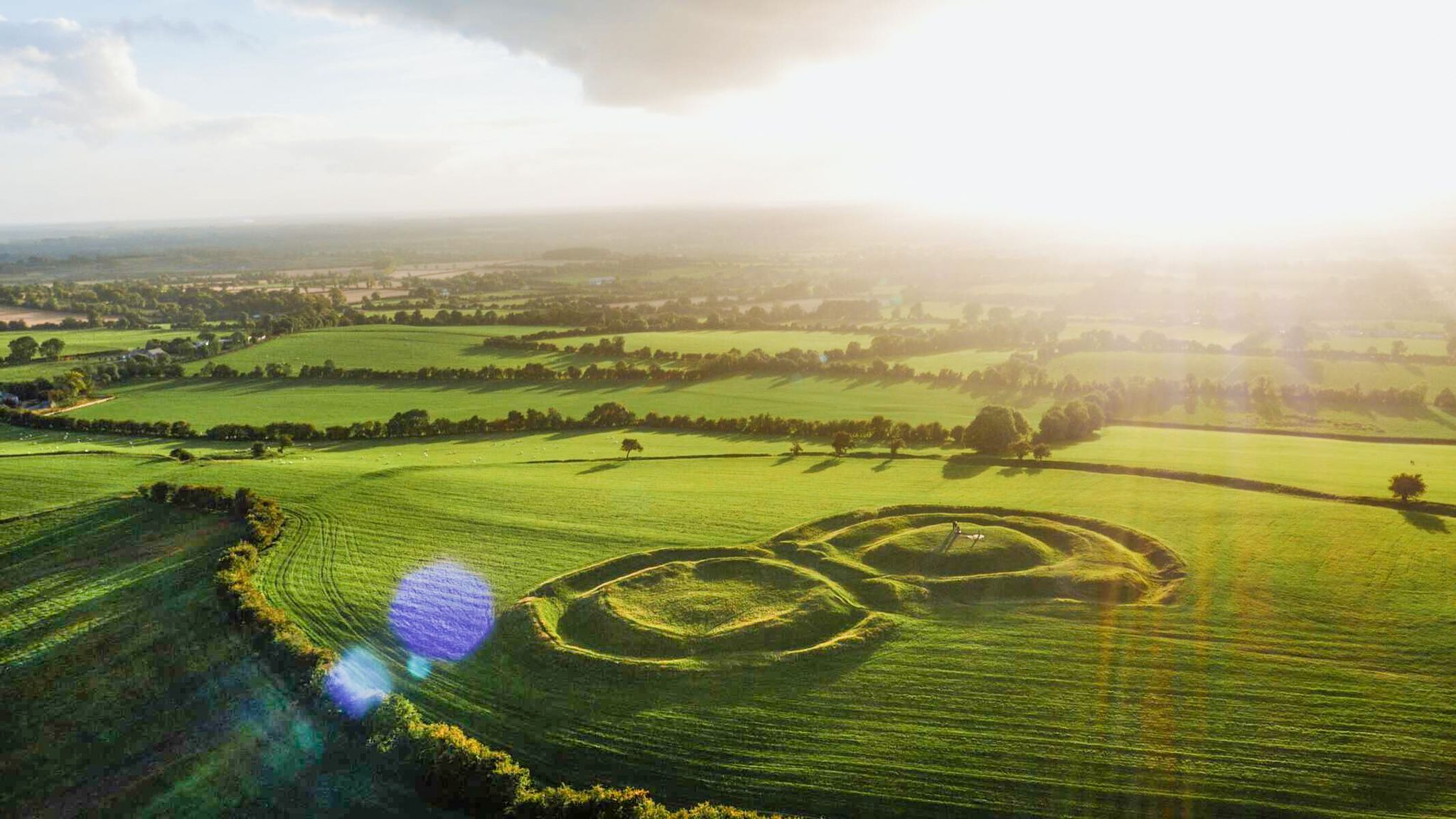
The magical east of Ireland – ancient places, scenic lakes and rocky mountains
Other adventures around The Municipal District of Wicklow


Tips from the Community

A really great old monastery complex where there is a lot to discover.
0
0

Located at the foot of the Wicklow Mountains, this bridge offers a picturesque view of the babbling Avonmore River. The current five-arch stone bridge was built around 1754 by John Braddel and connects the lower part of Rathdrum with the charming hilltop village centre. Look downstream from the bridge to catch a glimpse of the impressive Victorian railway viaduct, a masterpiece of civil engineering from the 1860s. This area was once the beating heart of the local wool industry and corn mills.
7
0

Large area with an ancient monastery settlement, hiking trails, and 2 lakes.
0
0

Wicklow is a town with approx. 13,000 inhabitants and the administrative seat of County Wicklow. The 33-kilometer-long river Vartry flows through the town.
1
0

Open face helmet or full face with removable chin, it will get warm.
0
0

The name "Deputy’s Pass" is believed to refer to a historic route through the mountains that was once used for traveling between the town of Rathdrum and the surrounding areas. Deputy’s Pass Woods offers a stunning variety of landscapes, including lush forests, rugged terrain, and beautiful views of the surrounding Wicklow Mountains.
1
0
Frequently Asked Questions
How many no-traffic gravel bike trails are available in The Municipal District of Wicklow?
There are 8 dedicated no-traffic gravel bike routes in The Municipal District of Wicklow, offering a range of experiences from moderate to difficult. These trails allow you to explore the region's stunning landscapes without vehicle interference.
What kind of terrain can I expect on no-traffic gravel bike trails in Wicklow?
The Municipal District of Wicklow, often called the 'Garden of Ireland,' offers incredibly diverse terrain. You'll encounter extensive forest roads, challenging mountain paths, gravel tracks, and some sections of singletrack. Expect significant elevation changes, especially in the Wicklow Mountains National Park, with surfaces ranging from well-maintained fire roads to rougher gravel and even quiet country lanes around areas like the Vartry Lakes.
Are there any family-friendly no-traffic gravel bike routes in The Municipal District of Wicklow?
While many routes in Wicklow involve significant climbs, there are options suitable for families looking for less challenging terrain. For example, the Exploring Deputy Pass woods from Rathdrum route is rated moderate and offers a shorter, more manageable distance. Additionally, areas around Glendalough offer leisure cycling on walking/off-road trails, such as those around the lower lake and Deerybawn woodland trail.
Can I bring my dog on the gravel bike trails in Wicklow?
Many of the forest roads and trails in The Municipal District of Wicklow are dog-friendly, especially within Coillte forests and parts of the Wicklow Mountains National Park. However, it's crucial to keep dogs under control, ideally on a leash, to protect local wildlife and livestock, particularly in areas with sheep. Always check specific trail regulations before you go.
What natural attractions can I see along the no-traffic gravel bike trails?
The trails often lead through or near some of Wicklow's most beautiful natural features. You might pass by the dramatic Upper Lake, Glendalough, or the serene Vartry Reservoir. The region is also home to several stunning waterfalls, such as Poulanass Waterfall and Glenmacnass Waterfall, which can be a refreshing stop on your ride.
Are there any circular no-traffic gravel bike routes in the area?
Yes, many of the no-traffic gravel bike routes in The Municipal District of Wicklow are designed as circular loops, allowing you to start and end at the same point. Examples include the challenging Exploring the Wicklow mountains loop from Wicklow and the shorter, moderate Gravel loop from Ballinastoe Wood.
What is the best time of year for gravel biking in Wicklow to avoid traffic?
While the focus of these routes is on avoiding traffic, the best time to enjoy the trails with fewer people overall is typically during the shoulder seasons (spring and autumn). The vibrant colours of autumn in Glenmalure Valley are particularly stunning. Summer offers longer daylight hours but can be busier, while winter can bring challenging weather conditions, though some trails remain accessible.
Where can I park my car when accessing these no-traffic gravel bike trails?
Many trailheads and popular starting points, such as Ballinastoe Mountain Bike Trails, offer dedicated parking facilities. For routes like Exploring Deputy Pass woods from Rathdrum, you'll find parking available in or near the starting towns. Always check local signage for parking restrictions and fees.
Is public transport an option to reach gravel biking areas in Wicklow?
Public transport access to some of the more remote gravel biking areas in Wicklow can be limited. However, larger towns like Wicklow, Kilcoole, and Rathdrum, which serve as starting points for routes such as Wicklow mountains loop from Kilcoole, are generally accessible by bus or train. From these points, you may need to cycle a short distance to reach the dedicated no-traffic trails.
Are there any permits required for cycling in the Wicklow Mountains National Park?
Generally, cycling on designated trails and forest roads within the Wicklow Mountains National Park and Coillte lands does not require a specific permit for recreational use. However, off-road mountain biking is restricted to designated trails. Always adhere to signage and local regulations, especially concerning protected areas and private land.
What do other gravel bikers enjoy most about the no-traffic trails in The Municipal District of Wicklow?
The Municipal District of Wicklow is highly rated by the komoot community, with an average score of 4.7 stars. Reviewers often praise the region's stunning, wild landscapes, the sense of escape offered by the extensive network of quiet forest roads, and the challenging yet rewarding climbs that lead to breathtaking panoramic views, particularly around iconic spots like Sally Gap and Lough Tay.
Are there cafes or pubs conveniently located near these gravel trails?
Yes, you'll find cafes and pubs in the villages and towns that serve as gateways or pass-through points for many of the gravel trails. For instance, Roundwood, a starting point for the From Roundwood to Three Rock mountain loop, offers options for refreshments. Ballinastoe Mountain Bike Trails also serves as a good base with amenities. Planning your route with potential stops in mind is recommended.
Most popular routes around The Municipal District of Wicklow
Most popular attractions around The Municipal District of Wicklow

Get inspired with the komoot mobile app


Didn’t find what you were looking for?
Check out more Gravel rides throughout The Municipal District of Wicklow below and find the perfect route in your destination.
Explore more
Browse the best Gravel rides in other regions.
