The 1 Most Amazing Peaks in the Deister
Best mountain peaks in the Deister, a low mountain range southwest of Hanover, Germany, offer numerous elevated points and scenic views. Rising to a maximum height of 405 meters above sea level, the Deister is characterized by dense forests primarily composed of beech and spruce. These elevated points provide recreational value and are popular for hiking. The region features a variety of natural and man-made landmarks.
Best mountain peaks in the Deister
- The most popular mountain peaks is Nordmannsturm and…
Last updated: July 1, 2026
Annaturm and Annaturm Forest Inn
Highlight • Viewpoint
Translated by Google •
Tip by

Nordmannsturm and forest restaurant
Highlight • Viewpoint
Translated by Google •
Tip by

Sign up now to discover places like this
Get recommendations on the best single tracks, peaks, & plenty of other exciting outdoor places.
Sign up for free
Barsinghausen Telecommunications Tower
Highlight • Monument
Translated by Google •
Tip by

View from Rodenberger Höhe
Highlight • Viewpoint
Translated by Google •
Tip by

Start today with a free account
Your next adventure awaits.
Login or Signup
Popular around Deister

Hanover trails – hiking between Steinhuder Meer and Deister
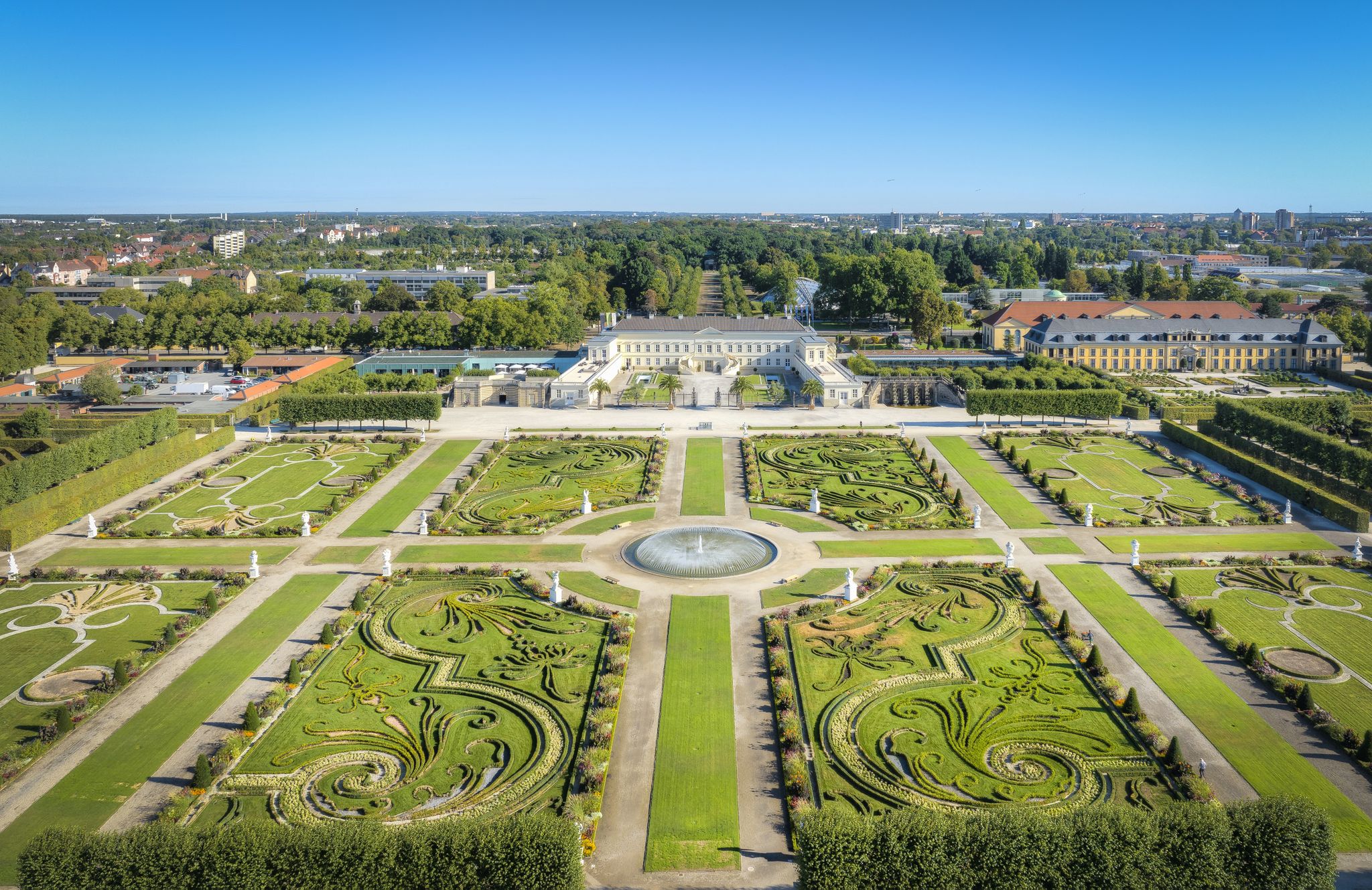
Hannover holiday region – varied cycling experiences in culture and nature
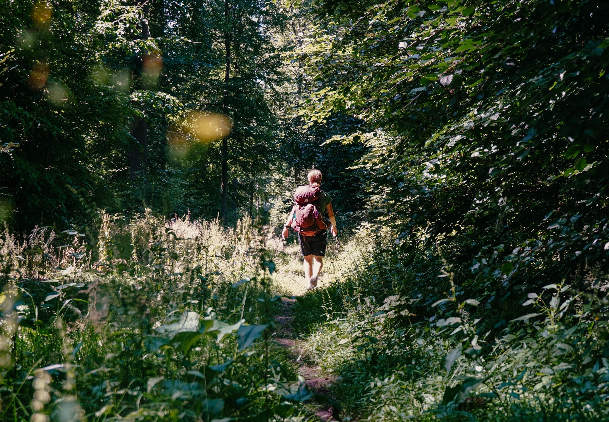
Experience nature with all your senses in the Weserbergland
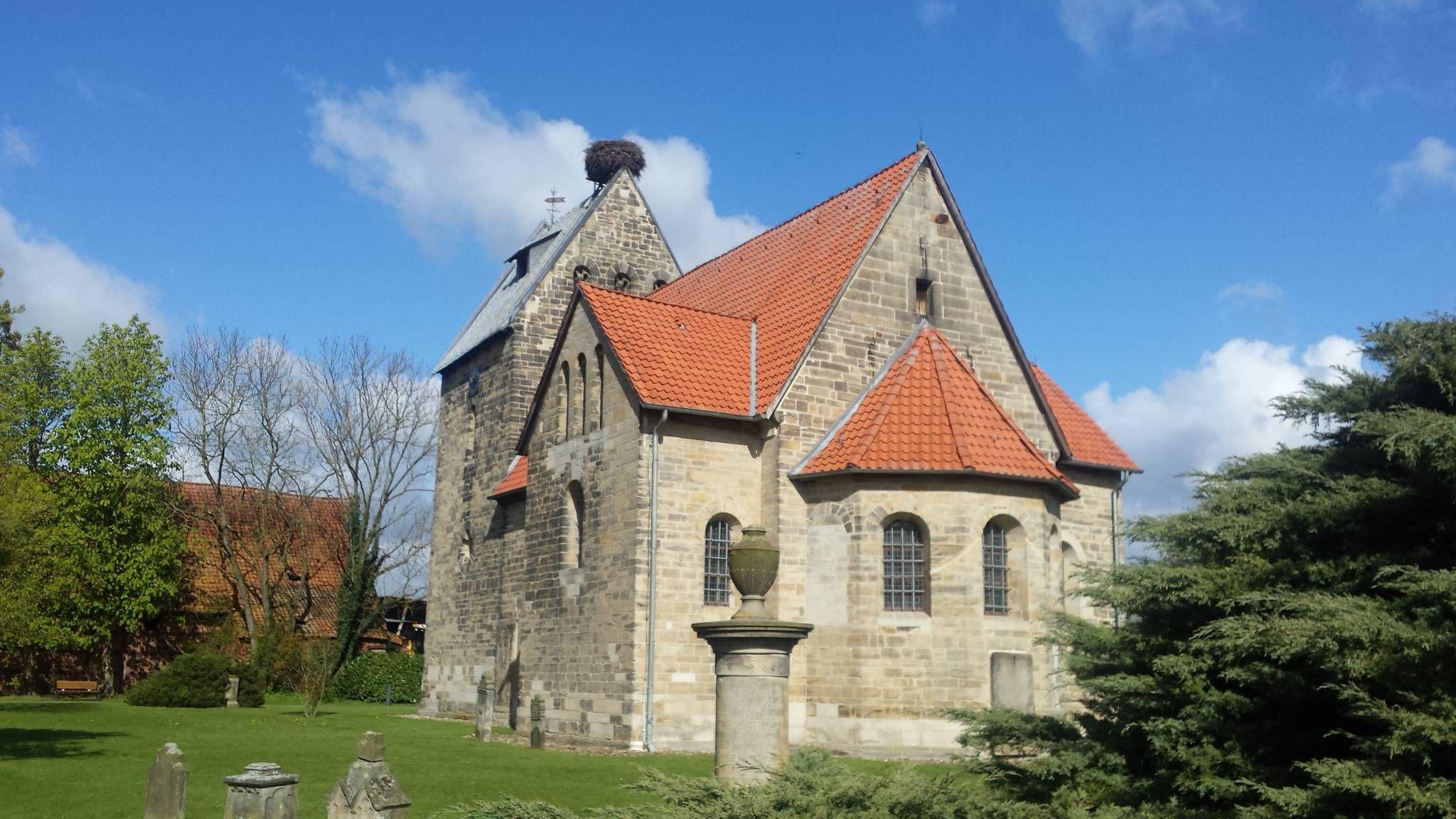
A 10-day pilgrimage in Lower Saxony – Sigwardsweg

33 MTB trails through German forests
Hiking in the Deister
Cycling in the Deister
MTB Trails in the Deister
Road Cycling Routes in the Deister
Running Trails in the Deister
Other adventures in the Deister


Tips from the Community

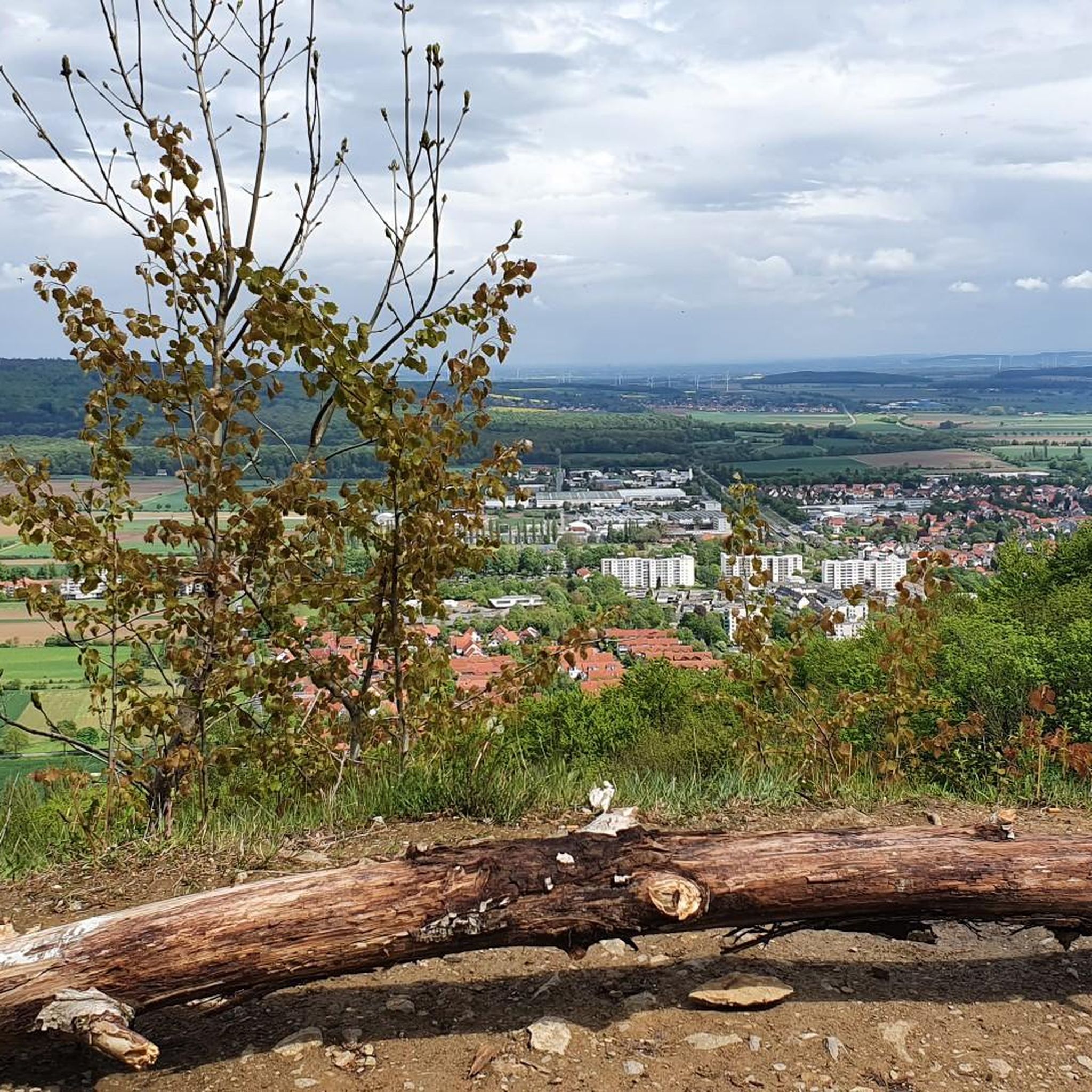
The Rodenberger Höhe rises west of Heisterburg Castle at 322 m above sea level. It is a trigonometric point for the national survey and the site of a tower with telecommunications equipment. About 600 meters northwest of this spot – still in the parcel of land of the same name – is the Rodenberger Hütte, which is why many Deister hikers also call it the "Rodenberger Höhe." As early as the reign of Kaiser Wilhelm II, the Hanover Tourist Association built a shelter here from rubble stone with a flat roof serving as an observation platform, offering a magnificent view of Lake Steinhude, the Süntel Valley, the Süntel, and the Bückeberge Mountains. Today, the view is limited by the fast-growing trees below the hut and will surely soon become overgrown unless the responsible Saupark (Springe) Forestry Office takes countermeasures. Source: https://guentherklapproth.hier-im-netz.de/nachtrag_5_rodenberger_hoehe.html
1
0
The Rodenberger Höhe rises to the west of the Heisterburg at 322 m above sea level. It is a trigonometric point for the national survey and the location for a tower with telecommunications equipment. About 600 meters northwest of this point you will find the Rodenberger Hütte - still in the parcel of land of the same name - which is why many Deister hikers also call it the "Rodenberger Höhe". As early as the reign of Kaiser Wilhelm II, the Hanover Tourist Association had built a shelter here out of quarry stone with a flat roof that served as a viewing platform, from which a wonderful view of the Steinhuder Meer, Sünteltal, Süntel and Bückeberge was possible. Source: https://guentherklapproth.hier-im-netz.de/nachtrag_5_rodenberger_hoehe.html
2
0
The Rodenbergerhöhe rises to the west of the Heisterburg at 322 m above sea level. It is a trigonometric point for national surveying and a location for a tower with telecommunications facilities. About 600 meters north-west of this point you will find - still in the field of the same name - the Rodenberger Hütte, which is why many Deister hikers also call it "Rodenbergerhöhe". Source: http://www.guentherklapproth.privat.t-online.de/nachtrag_5_rodenberger_hoehe.html
2
0
The communications tower Barsinghausen (internal: radio transmission point Barsinghausen 2) is a 150 meter high communications tower of Deutsche Funkturm. It is located on the 361 meter high Great Neck within the Deister and was put into operation in 1969. Structurally, it is an FMT 2 type tower. Radio programs are broadcast from here in addition to non-public directional radio. Source: https://de.wikipedia.org/wiki/Fernmeldeturm_Barsinghausen
5
0
The Rodenbergerhöhe rises to the west of the Heisterburg at 322 m above sea level. It is a trigonometric point for national surveying and a location for a tower with telecommunications facilities. About 600 meters northwest of this point you will find the Rodenberger Hütte - still in the parcel of the same name - which is why many Deister hikers also refer to it as "Rodenbergerhöhe". Already during the reign of Kaiser Wilhelm II, the Hanover Tourist Association had built a shelter here from rubble stones with a flat roof serving as a viewing platform, from which a magnificent view of the Steinhuder Meer, Sünteltal, Süntel and Bückeberge was possible. Source: http://guentherklapproth.homepage.t-online.de/nachtrag_5_rodenberger_hoehe.html
3
0

Small restaurant for the hunger in between 👍, to be recommended.
11
1

From here, on a clear day, you have a wonderful view of the Weser Mountains on the right and the Süntel on the left.
2
0

The Nordmannsturm is a 19-metre-high observation tower in the Deister in the municipality of Nienstedt, a district of the town of Bad Münder. It is located on the Reinekensiekskopf on the ridge path of the Deister at a height of 382 metres above sea level. There is a restaurant at the foot of the tower.
9
1
Frequently Asked Questions
Which mountain peaks in the Deister offer the best panoramic views?
For stunning panoramic views, you should visit the Annaturm and Annaturm Forest Inn on the Bröhn, which is the highest point in the Deister. Another excellent spot is the Nordmannsturm and forest restaurant, where you can enjoy extensive vistas of the Calenberger Land and Weserbergland. The View from Rodenberger Höhe also provides a magnificent outlook towards the Steinhuder Meer, Sünteltal, Süntel, and Bückeberge.
What kind of hiking opportunities are available in the Deister mountain range?
The Deister offers countless signposted hiking routes of varying lengths and difficulty levels. A popular option is the "Kammweg" (ridge trail) that traverses the entire Deister ridge, connecting many notable points. For specific routes, you can explore the Hiking in the Deister guide, which includes routes like the "Deisterkamm and back – via Köllnischfeld and Annaturm".
Are there family-friendly mountain peaks or attractions in the Deister?
Yes, the Deister is very family-friendly. While the elevated points themselves are accessible, a particularly enchanting attraction for families is the Wennigsen Water Wheels. Every summer, around 20 miniature water mills depicting fairy tales are set up in a stream, powered by water. This spot is easily reached via a forest adventure trail from the Wennigsen "Waldkater" parking lot.
When is the best time of year to visit the mountain peaks in the Deister?
The Deister is beautiful year-round. In spring, you'll find blooming wildflowers, while autumn offers vibrant colors in the dense forests. The observation towers provide great views on clear days, regardless of the season. Even in winter, the Deister offers opportunities for hiking, though conditions may vary.
Are there refreshment options or restaurants near the Deister's elevated points?
Yes, several elevated points in the Deister feature refreshment options. The Annaturm has a cozy restaurant at its foot, and the Nordmannsturm also has an adjacent forest restaurant, making them convenient stops during your outing.
How accessible are the mountain peaks in the Deister by public transport?
The Deister is easily accessible by public transport. The S-Bahn runs directly to its foot, and bus lines can even take visitors up to the Deister ridge, making it convenient to reach various starting points for exploring the elevated areas.
What historical or cultural insights can I find around the Deister's peaks?
The Deister region has a rich history, particularly related to coal mining. You can find former tunnels and even a visitor mine (Klosterstollen in Barsinghausen) to learn about this past. Additionally, the Anna Tower on the Bröhn is located directly on the Kammweg, an ancient traffic route where traces from the 16th and 17th centuries can still be found.
What other outdoor activities can I do near the Deister's mountain peaks?
Beyond hiking, the Deister offers excellent opportunities for cycling and mountain biking. You can find various routes in the Cycling in the Deister guide and the MTB Trails in the Deister guide. These include routes like the "Deisterkreisel" for cycling and the "Ridge Trail in Köllnischfeld" for mountain biking.
Are there any challenging hikes for experienced trekkers in the Deister?
While the Deister is a low mountain range, there are routes that offer a more challenging experience. For instance, the Barsinghausen Telecommunications Tower area is known for good trails, and some MTB routes in the region are rated as difficult, suggesting varied terrain for experienced hikers as well. The "Deisterkamm and back" trail can also be extended for longer, more demanding hikes.
What natural beauty and wildlife can I expect to see in the Deister forest?
The Deister is a green paradise characterized by dense forests, primarily beech and spruce, with some mixed beech-oak stands. You'll find lush forests that transform with the seasons, from blooming wildflowers to vibrant autumn colors. The region is also home to the rare and mystical gnarled Süntel beech trees, offering a unique natural sight.
What do visitors enjoy most about the elevated points in the Deister?
Visitors frequently praise the fantastic panoramic views from observation towers like the Annaturm and Nordmannsturm. The presence of cozy restaurants and forest inns nearby is also highly appreciated, offering a convenient stop for refreshments. Many also enjoy the well-maintained trails and the peaceful atmosphere for relaxation and rejuvenation.
Can I bring my dog on hikes to the Deister's elevated points?
The Deister is generally a dog-friendly region, with many trails suitable for walks with your canine companion. While specific regulations might apply in certain areas or establishments, the extensive network of forest paths and the natural environment make it a great place to hike with dogs. Always ensure your dog is on a leash where required and respect local wildlife.
Most popular routes in the Deister
Most popular attractions in the Deister

Get inspired with the komoot mobile app


Explore more
See even more amazing summits in the Deister with these guides:
