The best road cycling routes in Cherokee National Forest
4.0
(1)
314
riders
75
rides
Road cycling routes in Cherokee National Forest traverse a landscape characterized by rugged mountains, dense woodlands, swift rivers, and serene lakes. The region offers an extensive network of scenic byways and forest service roads, providing varied terrain and elevation changes. Cyclists can explore valley floors, challenging mountain vistas, and winding roads through the forest's diverse ecosystems. These routes are generally well-maintained and offer a range of experiences for different skill levels.
Best road cycling routes in Cherokee National Forest
- The…
Last updated: October 3, 2026
11
riders
40.3km
02:31
740m
740m
Moderate road ride. Good fitness required. Mostly well-paved surfaces and easy to ride.
9
riders
38.3km
02:24
720m
730m
Moderate road ride. Good fitness required. Mostly well-paved surfaces and easy to ride.

9
riders
61.9km
02:45
550m
550m
Moderate road ride. Good fitness required. Mostly well-paved surfaces and easy to ride.
6
riders
65.3km
02:58
620m
620m
Moderate road ride. Good fitness required. Mostly well-paved surfaces and easy to ride.
3
riders
Moderate road ride. Good fitness required. Some segments of this route may be unpaved and difficult to ride.
Get access to more routes and recommendations from other explorers.
Already have an account?
Our route recommendations are based on thousands of hikes, rides, and runs completed by other people on komoot.
Start today with a free account
Your next adventure awaits.
Popular around Cherokee National Forest

Benton MacKaye Trail — Hiking from Georgia to the Smokies

The Appalachian Trail — America's most iconic long-distance hike
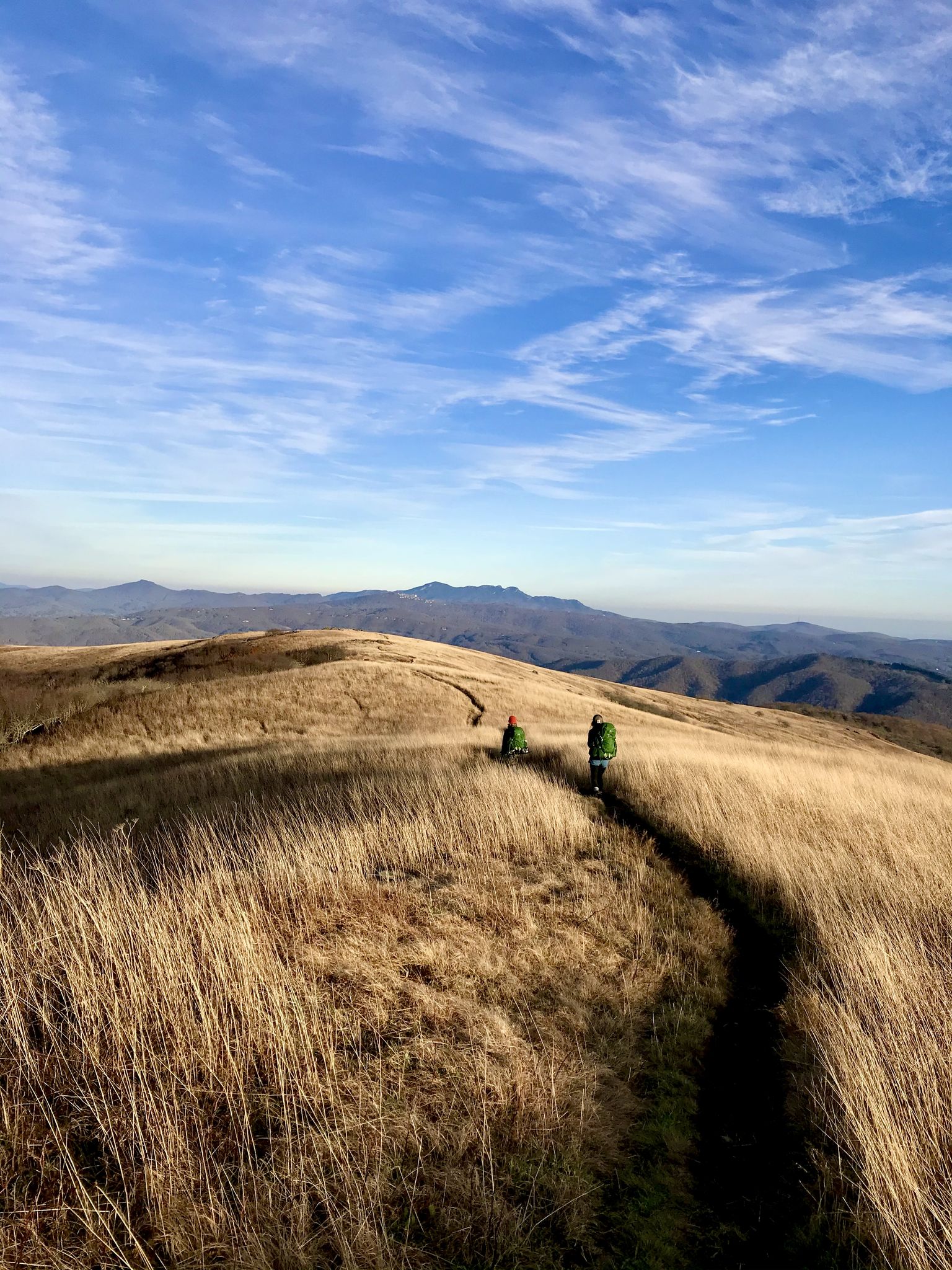
Appalachian Trail: Carvers Gap to US 19E — Over the balds of Roan Highlands
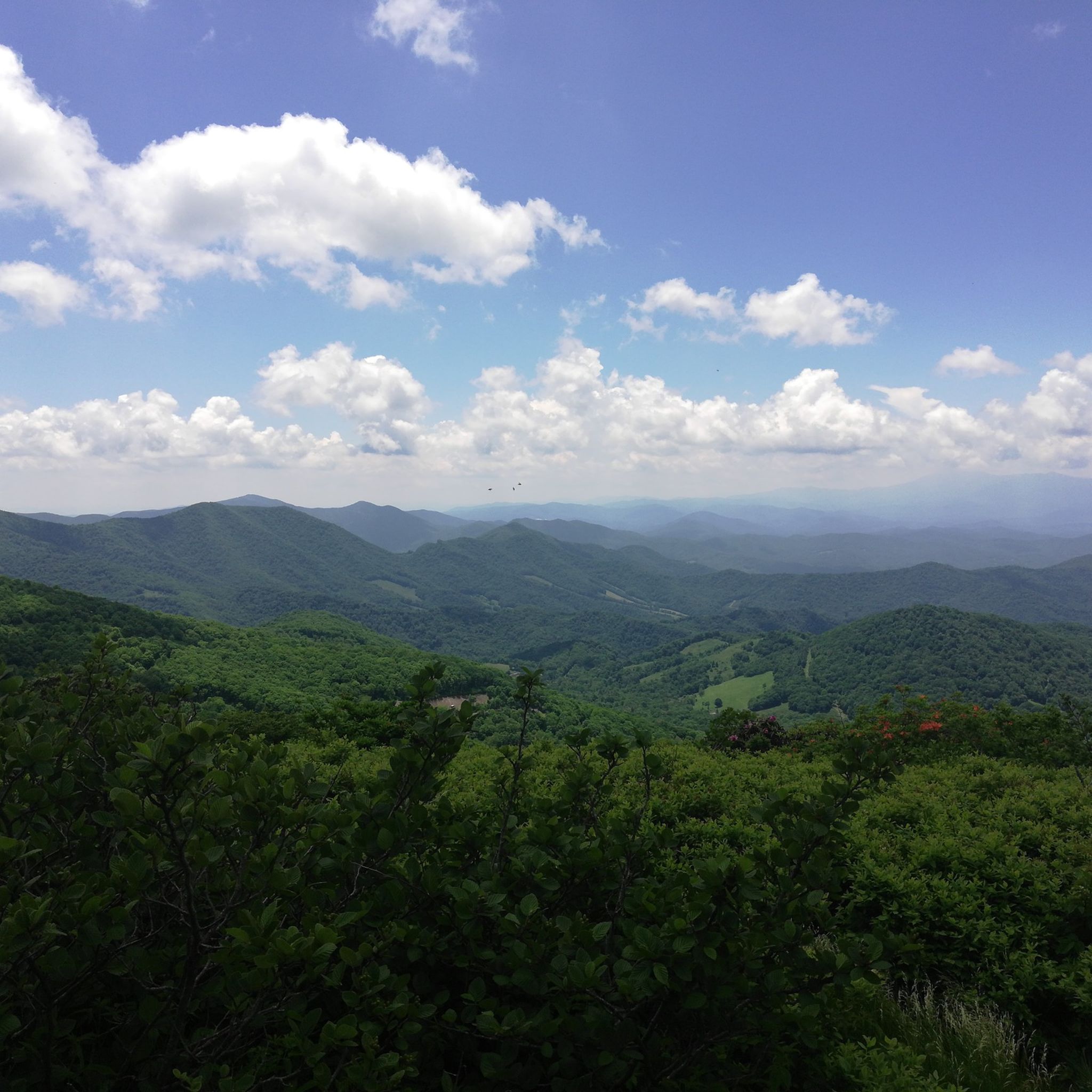
Hiking in Cherokee National Forest
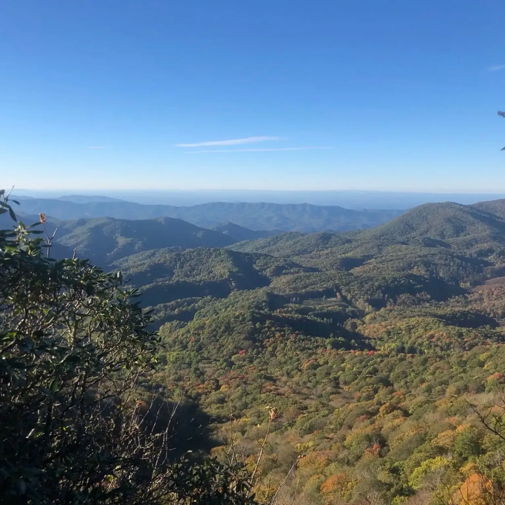
Running Trails in Cherokee National Forest
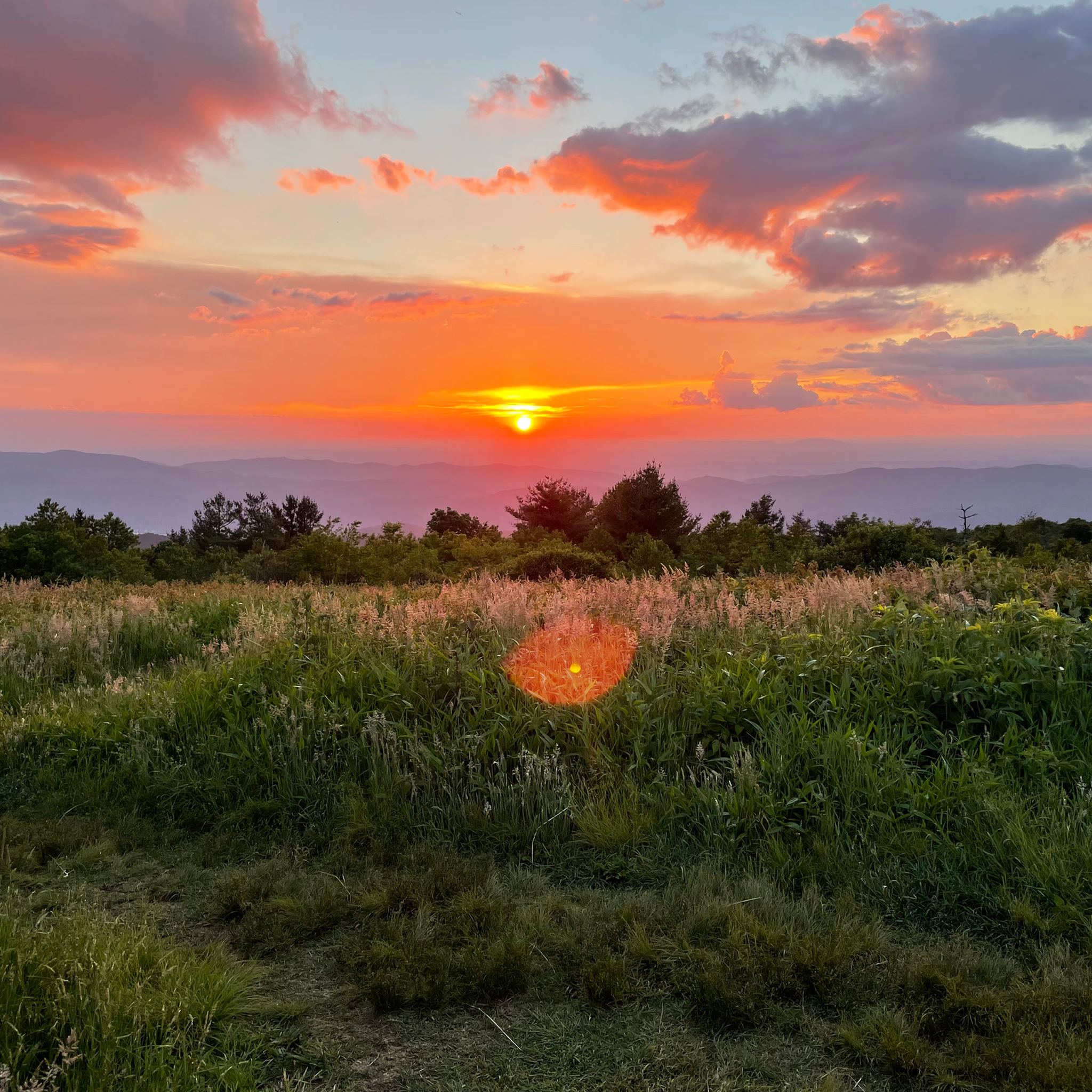
Cycling in Cherokee National Forest
MTB Trails in Cherokee National Forest

Gravel biking in Cherokee National Forest
Other adventures in Cherokee National Forest


Tips from the Community

Johnson City is situated at the Appalachian foothills and is a popular destination for hikers. There are several multiuse trails that cut through the city, as well as numerous trails in the nearby hills.
0
0
Founders Park is a 5-acre green space located in downtown Johnson City. There are several trails that take you through the park, as well as picnic tables and benches.
0
0
The State of Franklin Linear Trail is a 5 mile mulituse trail. The path is popular with hikers, cyclists and runners. The trail is fully paved, without much elevation gain, so it is not a challenging trail.
0
0
The C&O Depot in Johnson City, Tennessee, originally served as the Carolina, Clinchfield & Ohio Railway station, playing a pivotal role in the city's development as a major rail hub in the early 20th century. Today, the restored building functions as the Johnson City Visitor Center, preserving its historical significance while welcoming travelers to the region.
0
0
Fort Watauga is a historic fortification constructed by early frontier settlers in the Watauga region during the late 18th century. It served as a key defensive outpost designed to protect the community from external threats. It is now open to visitors who want to learn more about the history of the local area.
0
0
The Elizabethton Covered Bridge, was built in 1882 over the Doe River It is a 154-foot-long truss bridge that has survived numerous floods, including the 1901 flood and Hurricane Helene in 2024. It is closed to vehicles but open to pedestrians and cyclists.
0
0

Fort Watauga is actually a reconstruction of the original fort that was here. Each year there are several different educational events that take place here. Sycamore Shoals State Historic Park surrounds the fort and is also interesting to visit. It is not far off the Tweetsie Trail, making it an easy and interesting stop while out on a bike.
0
0
This bridge was built in 1882 in order to allow the town of Elizabethton to grow to the south. Each June there is a festival/parade that honors the bridge. Although the bridge is no longer open to motor vehicle traffic, it is still open to both bicycles and pedestrians throughout the year. Cyclists must dismount before crossing.
0
0
Frequently Asked Questions
How many road cycling routes are available in Cherokee National Forest?
The Cherokee National Forest offers over 60 road cycling routes. These routes cater to various skill levels, with 8 easy, 41 moderate, and 17 difficult options, ensuring there's a suitable ride for almost every cyclist.
Are there easy road cycling routes suitable for beginners or families?
Yes, the forest provides several easy routes perfect for beginners or families. These often feature gentle hills and winding roads through the foothills. For instance, the "Blue Springs loop from Unaka High School" mentioned in the region research offers a moderate 10.4-mile path through the forest's foothills, providing a less strenuous option.
What are some challenging road cycling routes for experienced riders?
Experienced cyclists seeking a challenge will find several difficult routes. The Foothills Tour is a demanding 93 km route with over 2200 meters of elevation gain. Additionally, the Cherohala Skyway, a 43- to 54.8-mile National Scenic Byway, is renowned for its significant elevation gains, offering over 5,497 feet of climbing and breathtaking mountain scenery.
Are there road cycling routes that feature waterfalls or scenic viewpoints?
Absolutely. The Cherokee National Forest is rich in natural beauty. You can find routes near stunning waterfalls like Benton Falls or Bald River Falls. The Cherohala Skyway is particularly famous for its numerous overlooks, providing some of the best mountain scenery in the world.
Can I find loop road cycling routes in Cherokee National Forest?
Many of the road cycling routes in Cherokee National Forest are designed as loops, allowing you to start and finish at the same point. Examples include the Roadbike loop from Shady Beach, the Roadbike loop from Willis Springs, and the Roadbike loop from Tellico Beach, all offering varied terrain and scenic views.
What kind of landscapes will I encounter while road cycling in this region?
Road cycling in the Cherokee National Forest offers a diverse range of landscapes. You'll traverse rugged mountains, dense woodlands, and winding roads alongside swift rivers like the Tellico River and Pigeon River. Routes also feature serene lakes such as Watauga Lake and Indian Boundary Lake, providing picturesque views throughout your ride.
What do other road cyclists enjoy most about road cycling in Cherokee National Forest?
The komoot community highly rates the road cycling experience in Cherokee National Forest. Cyclists often praise the varied terrain, from challenging mountain climbs to gentle valley rides, and the stunning natural beauty, especially the vibrant fall foliage and the well-maintained scenic byways like the Cherohala Skyway.
Are there any specific attractions or landmarks to look out for along the routes?
Beyond the natural beauty, you can explore various attractions. Keep an eye out for waterfalls like Turn for Jones Falls and Wildcat Falls. The Watauga Dam and its visitor center also offer interesting sights along the Watauga Lake loop. The region's rich history and diverse ecosystems provide many points of interest.
What is the best time of year for road biking in Cherokee National Forest?
The Cherokee National Forest offers beautiful cycling conditions across multiple seasons. Spring and fall are particularly popular, with spring bringing lush greenery and fall showcasing vibrant foliage. While specific winter conditions vary, many routes remain accessible, though higher elevations might experience colder temperatures or occasional snow.
Are there routes that follow river valleys or pass by lakes?
Yes, many routes in the Cherokee National Forest offer scenic rides alongside rivers and lakes. The "Tellico River Out-and-Back" route, for example, runs for 18 miles alongside the swift waters of the Tellico River. You can also find routes with stunning views of Watauga Lake, such as the challenging 18.6-mile "Watauga Dam and Watauga Dam Visitor Center loop from Watauga Valley".
Are there options for less crowded road bike routes?
While popular routes like the Cherohala Skyway can attract many visitors, the extensive network of forest service roads and quiet country lanes means you can often find less crowded options. Exploring routes through areas like Hartford, Tennessee, along Rt. 32 and S.R. 1397, can offer miles of winding roads with classic Smoky Mountain scenery in a more tranquil setting.
Most popular routes in Cherokee National Forest
Most popular attractions in Cherokee National Forest

Get inspired with the komoot mobile app


Explore more
Browse the best Road cycling routes in other regions.
