The best gravel rides in Cherokee National Forest
4.5
(4)
183
riders
23
rides
Gravel biking in Cherokee National Forest offers diverse landscapes across over 650,000 acres of Appalachian wilderness. The region features rugged mountains, extensive trail systems, and numerous rivers and waterfalls. Miles of gravel roads wind through dense woodlands, providing varied terrain for gravel cyclists. These routes combine practical, rideable surfaces with the natural features of Tennessee's only national forest.
Best gravel bike trails in Cherokee National Forest
- The most popular gravel bike trail is Rich Mountain Fire Tower loop from Pine Spring, a 40.9 miles (65.9 km) difficult trail that takes 4 hours 48 minutes to complete. This route features significant elevation gain and offers views from the fire tower area.
- Another top favourite among local gravel bikers is Bald River Falls Overlook loop from North River, a difficult 35.7 miles (57.5 km) path. This route leads to an overlook of Bald River Falls, traversing varied forest terrain.
- Local gravel bikers also love the Buzzard Roost loop from Hartford, a 52.4 miles (84.3 km) trail leading through dense woodlands and mountain ascents, often completed in about 8 hours 52 minutes.
- Gravel biking in Cherokee National Forest is defined by rugged mountains, extensive gravel roads, and dense woodlands. The network offers options for different ability levels, including challenging climbs and long-distance routes.
- The routes in Cherokee National Forest are highly rated by the komoot community with an average score of 5.0 stars from 4 reviews. More than 100 gravel bikers have used komoot to explore Cherokee National Forest's varied terrain.
Last updated: October 1, 2026
5.0
(2)
13
riders
65.9km
04:49
1,430m
1,430m
Hard gravel ride. Very good fitness required. Mostly paved surfaces. Suitable for all skill levels.
8
riders
57.4km
03:44
1,000m
1,000m
Hard gravel ride. Very good fitness required. Mostly paved surfaces. Suitable for all skill levels.

7
riders
72.3km
06:13
1,700m
1,700m
Hard gravel ride. Very good fitness required. Mostly paved surfaces. Suitable for all skill levels.
5
riders
74.2km
06:14
1,730m
1,730m
Hard gravel ride. Very good fitness required. Mostly paved surfaces. Suitable for all skill levels.
8
riders
143km
10:34
3,210m
3,210m
Hard gravel ride. Very good fitness required. Mostly paved surfaces. Suitable for all skill levels.
Get access to more routes and recommendations from other explorers.
Already have an account?
Our route recommendations are based on thousands of hikes, rides, and runs completed by other people on komoot.
Start today with a free account
Your next adventure awaits.
Popular around Cherokee National Forest

Benton MacKaye Trail — Hiking from Georgia to the Smokies

The Appalachian Trail — America's most iconic long-distance hike
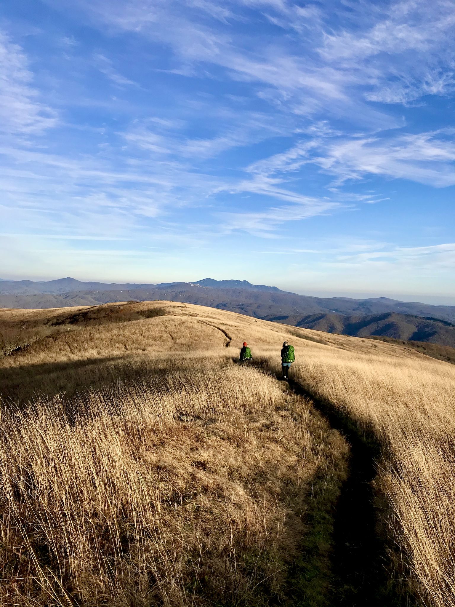
Appalachian Trail: Carvers Gap to US 19E — Over the balds of Roan Highlands
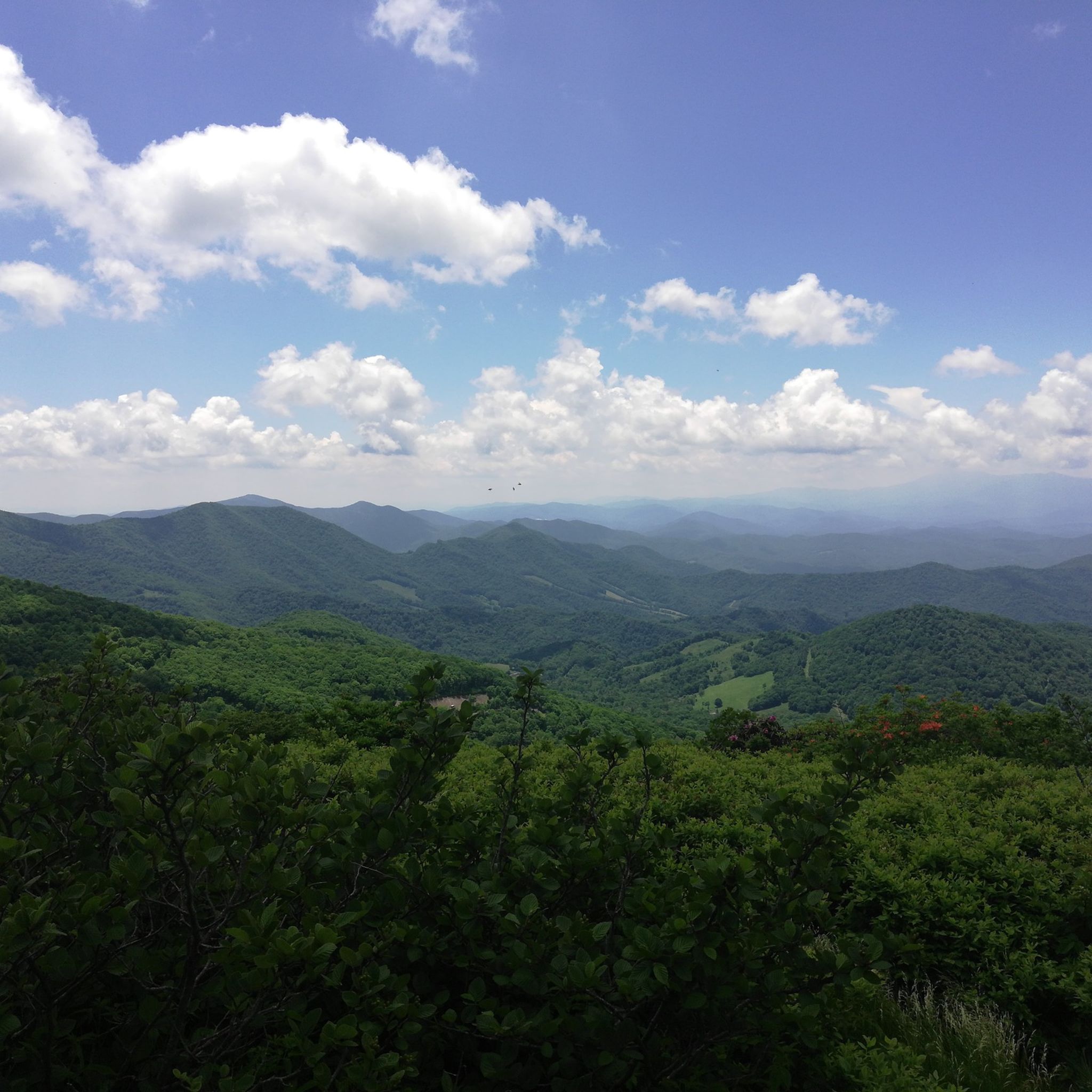
Hiking in Cherokee National Forest
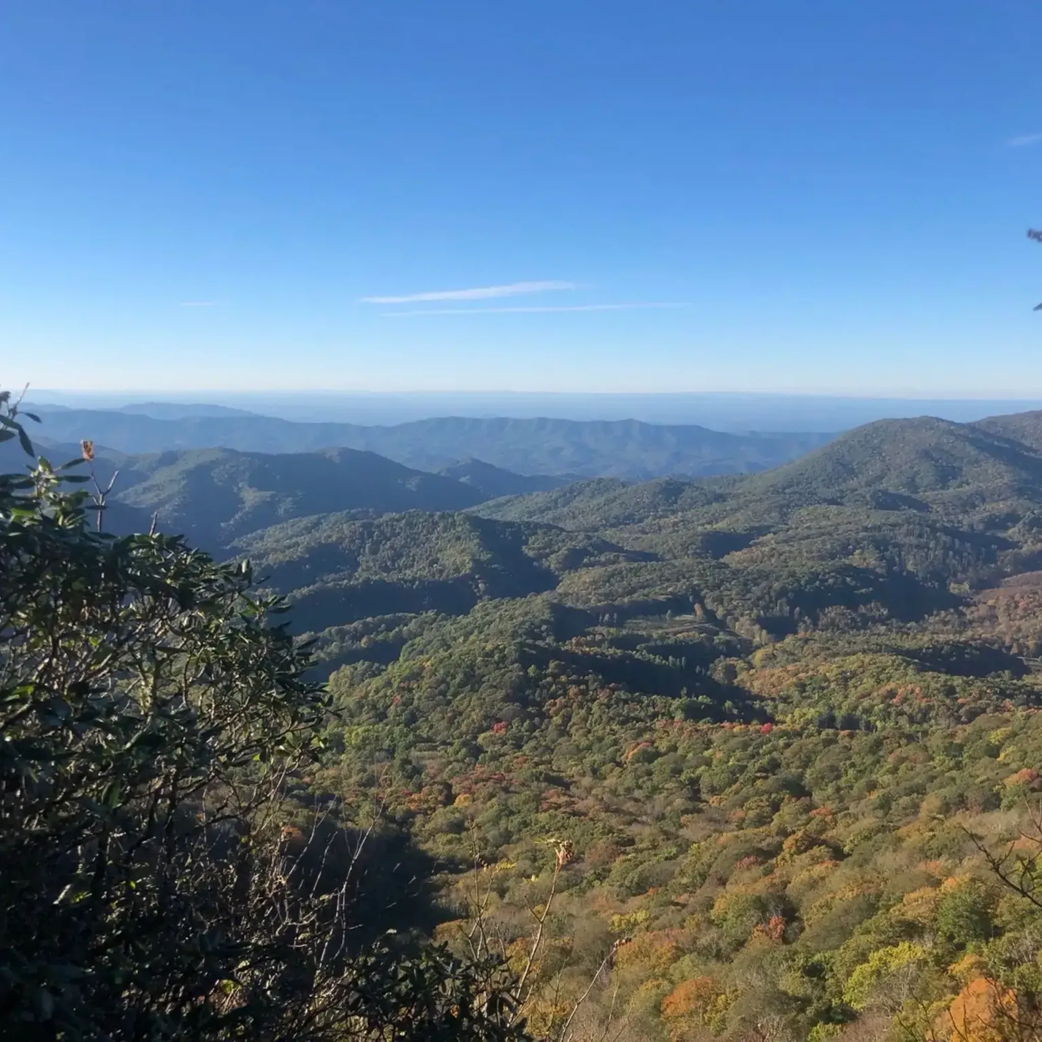
Running Trails in Cherokee National Forest
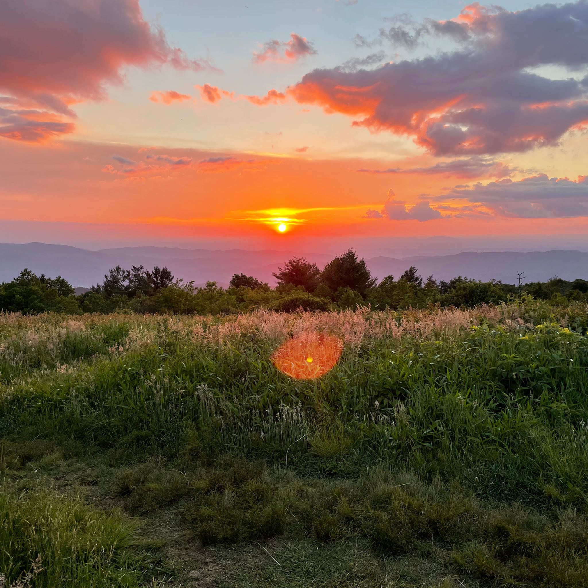
Cycling in Cherokee National Forest
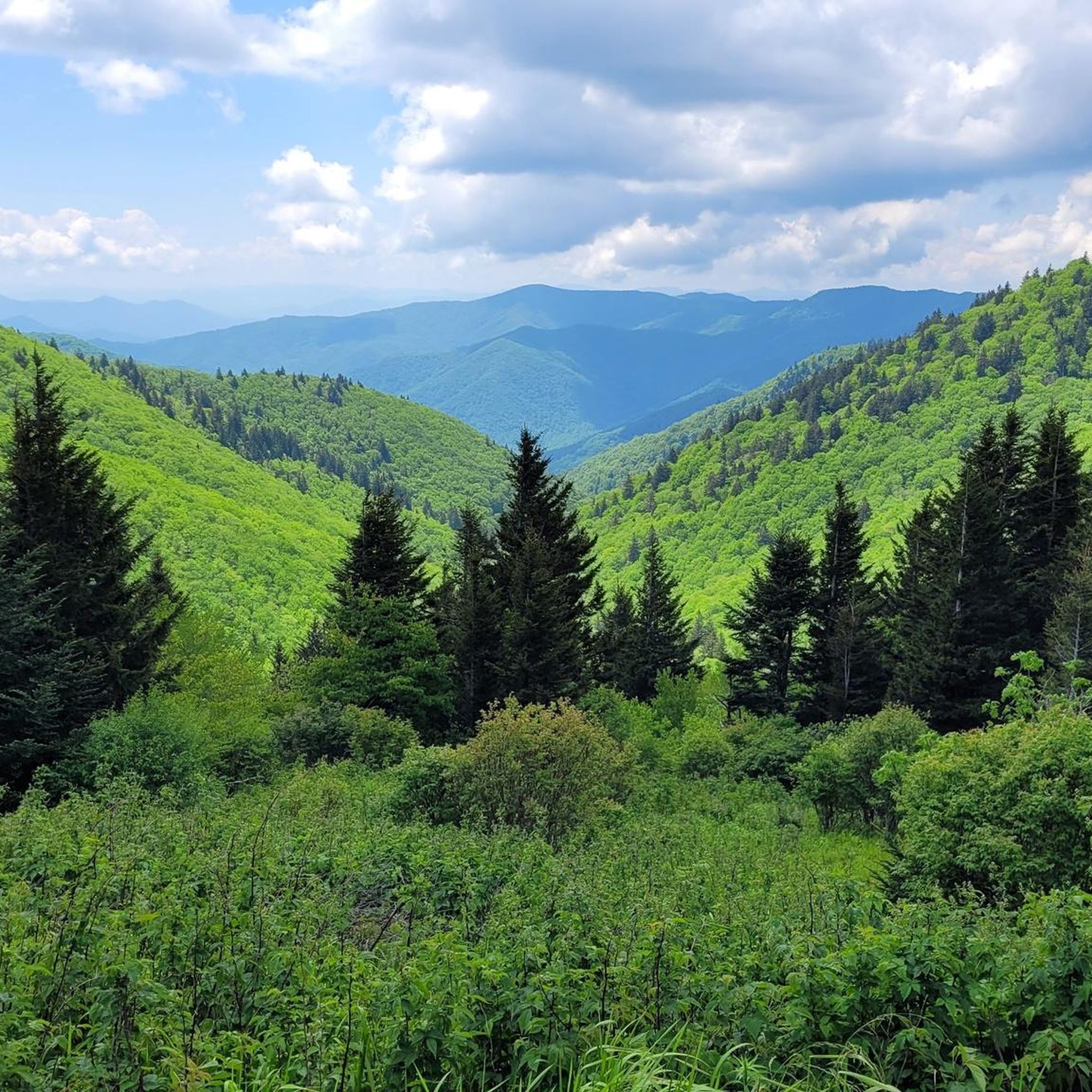
MTB Trails in Cherokee National Forest
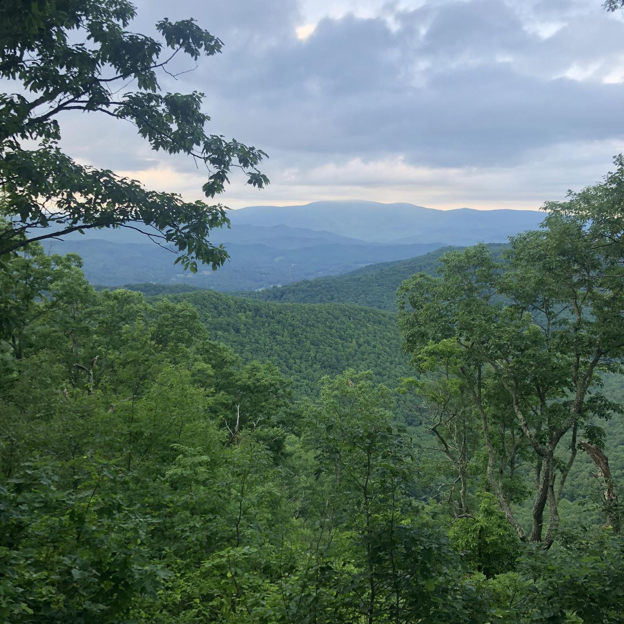
Road Cycling Routes in Cherokee National Forest
Other adventures in Cherokee National Forest


Tips from the Community

This small historic community along the Hiwassee River is worth a stop. Highlights include a vintage Texaco gas station, the Hiwassee Meeting Hall, and the remnants of 19th-century mills that helped shape the town. A neat spot to stretch your legs and enjoy a touch of local history while hiking.
0
0
A small, rustic campground set beside Big Lost Creek. It has basic facilities, reliable water, and a peaceful forest setting that makes it a good overnight spot. The creek adds a refreshing touch after a long day on the trail, and the quiet atmosphere makes it easy to rest up before the next stretch of hiking.
0
0

There are many spectacular spots to stand on the road/bridge here to view the waterfalls. Depending on the time of year, there might even be side streams coming from different areas of the rock face. There are several side trails leading down to the water if you want a closer view, but be careful as this water is fast moving and can be extremely cold in the fall and winter months!
1
0
At the midway point of the hike, enjoy 360 views of the surrounding Cherokee and Pisgah National Forests. The sheltered fire tower is directly off the side of the trail and is accessible year-round. Be courteous of other visitors, as there is a forest road providing alternate access to the viewing area.
0
0
Frequently Asked Questions
How many gravel bike trails are available in Cherokee National Forest?
Cherokee National Forest offers a diverse network of over 20 gravel bike routes. These trails vary in length and difficulty, providing options for different experience levels, though many feature significant elevation changes.
What kind of terrain can I expect on gravel bike trails in Cherokee National Forest?
The terrain in Cherokee National Forest is predominantly compacted gravel, winding through dense woodlands. While many routes feature challenging climbs and descents, some sections may include rougher patches and rocky stretches. Areas like the Ocoee Forest Service roads are known for relatively smooth surfaces and steady, manageable climbing grades.
Are there any gravel bike routes that feature waterfalls or scenic viewpoints?
Yes, several routes offer access to stunning natural features. For instance, the Bald River Falls Overlook loop from North River leads to a viewpoint of the impressive Bald River Falls. You can also explore highlights like Bald River Falls itself, Benton Falls, or the View from Little Rock Knob for panoramic vistas.
What is the best time of year for gravel biking in Cherokee National Forest?
Spring and fall are generally the best seasons for gravel biking in Cherokee National Forest. Spring brings vibrant wildflowers, while fall offers spectacular foliage. Wildlife sightings are also common during early morning rides in these seasons. Summer can be warm, and winter may present colder temperatures and potential for icy conditions on higher elevation routes.
Are there any long-distance gravel routes for experienced riders?
Absolutely. For those seeking a longer challenge, the Rattlesnake Rock – Hemlock Knob loop from Baby Falls is a demanding 97 km route with over 2,100 meters of elevation gain. Another significant option is the Buzzard Roost loop from Hartford, which covers 84 km and includes substantial mountain ascents.
Are there any circular gravel bike routes in the forest?
Yes, many of the gravel bike routes in Cherokee National Forest are designed as loops, allowing you to start and end at the same point. Examples include the Rich Mountain Fire Tower loop from Pine Spring and the Reliance – Lost Creek Campground loop from Woody Island. These circular routes are convenient for day trips.
What do other gravel bikers enjoy most about riding in Cherokee National Forest?
The area is highly rated by the komoot community, with an average score of 5.0 stars. Reviewers often praise the diverse landscapes, the extensive network of gravel roads that wind through dense woodlands, and the blend of challenging climbs with rewarding descents. The scenic beauty, including river views and shaded canopy corridors, is also frequently highlighted.
Are there any specific areas within Cherokee National Forest known for gravel biking?
The Ocoee gravel region is particularly well-regarded for its gravel biking opportunities, offering routes with relatively smooth surfaces and steady climbing grades. The Hiwassee River area is also known for its scenic gravel loops, providing quiet backroads and river views.
Where can I find more information about the Cherokee National Forest itself?
For general information about the Cherokee National Forest, including details on its various recreation zones and natural features, you can visit the Visit Monroe TN website.
What are some notable landmarks or attractions I might encounter near the gravel trails?
Beyond the trails, the Cherokee National Forest is rich with attractions. You might find yourself near the Watauga Lake Zone, known for its waterfalls, or the Ocoee Scenic Byway. The forest also features several impressive peaks like Round Bald and the Holston Mountain Fire Tower, offering additional exploration opportunities.
Are there options for moderate difficulty gravel rides in Cherokee National Forest?
While many routes are rated as difficult, there are 5 routes classified as moderate, offering a less intense experience than the most challenging trails. These routes provide a good balance of distance and elevation, suitable for riders with some gravel biking experience looking for a solid day out without extreme demands.
Most popular routes in Cherokee National Forest
Most popular attractions in Cherokee National Forest

Get inspired with the komoot mobile app


Explore more
Browse the best Gravel rides in other regions.
