The best running trails in Cherokee National Forest
4.5
(2)
126
runners
20
runs
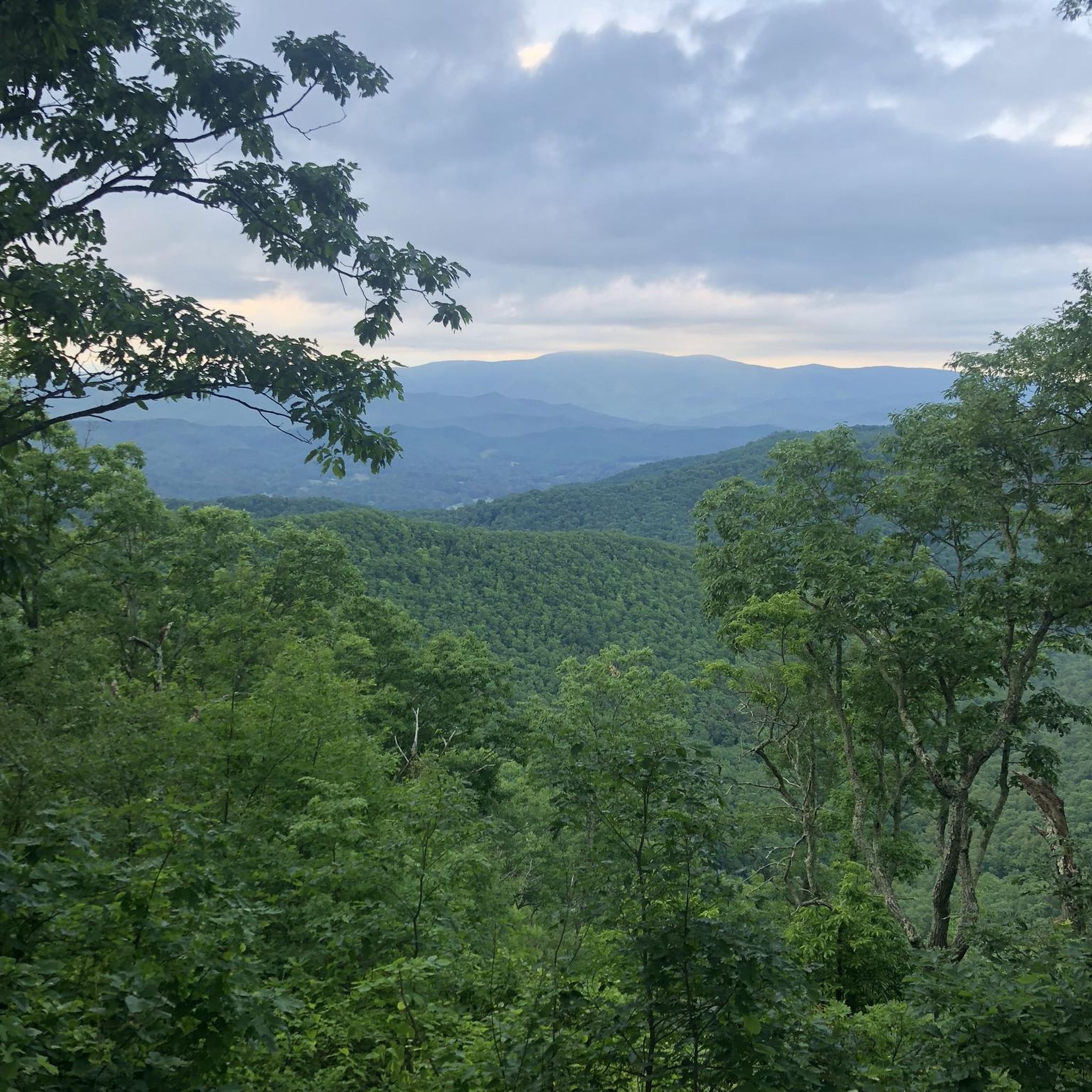
Jogging in Cherokee National Forest offers diverse landscapes across the Southern Appalachian Mountains. The region features an extensive network of trails, including sections of the Appalachian National Scenic Trail, alongside numerous waterfalls, river gorges, and mountainous terrain. Runners can explore routes near lakes like Watauga Lake and South Holston Lake, or challenge themselves on elevated areas such as Iron Mountain and Bald Mountains. The forest's varied topography provides options ranging from dense woods to open fields, often featuring creeks and smaller waterfalls.
Best jogging routes in Cherokee National Forest
- The most popular jogging route is Appalachian Trail: Carvers Gap to Grassy Ridge Bald, a 4.9 miles (7.9 km) trail that takes 1 hour 6 minutes to complete. This route offers panoramic 360-degree vistas over the surrounding landscape.
- Another top favourite among local runners is Appalachian Trail: Shook Branch to Watauga Dam, a moderate 5.5 miles (8.9 km) path. This section provides lake views and crosses a historic dam.
- Local runners also love the Appalachian Trail to Laurel Falls, a 4.7 miles (7.5 km) trail leading through forested areas to an 80-foot waterfall, often completed in about 57 minutes.
- Jogging in Cherokee National Forest is defined by sections of the Appalachian Trail, numerous waterfalls, and scenic river gorges. The extensive network offers options for various ability levels, from easy paths to challenging mountain ascents.
- The routes in Cherokee National Forest are highly rated by the komoot community with an average score of 5.0 stars from more than 1 review. More than 130 runners have used komoot to explore Cherokee National Forest's varied terrain.
Last updated: June 23, 2026
10
runners
7.94km
01:06
340m
340m
Prepare for a challenging jogging experience on the Appalachian Trail from Carvers Gap to Grassy Ridge Bald, a difficult route spanning 4.9 miles (7.9 km). You will gain 1107 feet (337 metres) in elevation, with an estimated duration of 1 hour and 6 minutes. This trail takes you through the unique Roan Highlands, known for their expansive grassy balds. As you jog, you will encounter varied terrain, moving from well-maintained sections to more rugged, rocky paths. The route offers panoramic views, especially as you traverse iconic treeless mountaintops like Round Bald and Jane Bald, leading up to Grassy Ridge Bald itself. Expect to be surrounded by rhododendron thickets and pockets of balsam fir forests along the way, creating a diverse and engaging landscape.
Accessing the trailhead at Carvers Gap is straightforward, as it is located directly off a paved road, providing easy parking options. The trail is open throughout the year, but conditions can change rapidly, so always check the forecast before you go. Be aware that the open balds offer significant sun exposure, making a hat and sunscreen essential for your comfort and safety. Planning your visit during cooler parts of the day or year might enhance your jogging experience.
This section of the Appalachian Trail is notable for being one of the highest stretches of grassy balds in the entire Appalachian mountain range. The continuous 360-degree vistas from these treeless mountaintops are a defining feature, setting it apart from many other trails in the region. The unique ecosystem of the Roan Highlands, with its distinct flora and open landscapes, provides a memorable backdrop for your jogging adventure. It is a prime example of the natural beauty and ecological significance found within Pisgah National Forest.
6
runners
8.92km
01:06
120m
120m
This section of the Appalachian Trail, from Shook Branch to Watauga Dam, offers a delightful jogging experience through the Cherokee National Forest. You'll trace the shoreline of Watauga Lake, enjoying captivating views and passing through diverse hardwood forests dotted with mountain laurel and rhododendron. The initial two miles are flat and shaded, providing easy footing before the trail bends inland for a steady climb on a dirt and root-filled path, culminating in the impressive Watauga Dam. This moderate 5.5-mile (8.9 km) route, with 400 feet (122 metres) of elevation gain, typically takes about 1 hour and 6 minutes.
Access to the trail is easy, with the trailhead located near the Shook Branch Swimming Area. Parking is generally available, but arriving earlier in the day is advisable, especially during peak season. The trail is open year-round, making it a flexible option for your jogging schedule, and it's a dog friendly Appalachian Trail section, so feel free to bring your leashed canine companion.
The most distinctive feature of this route is the opportunity to cross the historic Watauga Dam itself, which was once the highest earth dam in the world and remains the highest in the eastern U.S. This provides a unique perspective of the surrounding landscape and the deep gorge below. Beyond the dam, the trail offers a sense of solitude, passing through a wild and secluded part of the AT, bordered by the Pond Mountain Wilderness and Big Laurel Branch Wilderness.

Sign up for free
5
runners
17.2km
02:32
790m
790m
Embark on a difficult jogging route along the Appalachian Trail from US 19E to Hump Mountain, covering 10.7 miles (17.2 km) with a substantial 2600 feet (792 metres) of elevation gain. This challenging section rewards your effort with incredible vistas as you climb through rocky paths and significant elevation changes. You will find overlooks offering views around 4,000 feet, and Doll Flats provides expansive views into North Carolina. The true highlight is reaching Hump Mountain itself, standing at 5,587 feet, where you can enjoy unobstructed 360-degree panoramic views of the entire Roan Highlands, including distant landmarks like Mt. Rogers. Expect a demanding journey that will take you approximately 2 hours and 31 minutes to complete. The terrain is rugged, making a continuous jogging pace impractical for most. You will experience the raw beauty of the Appalachian wilderness with every step.
When planning your visit, be aware that this route is consistently rated as difficult due to its steep ascents and rocky terrain. Parking is generally available at the US 19E trailhead, which serves as your starting point for this adventure. Prepare for challenging conditions, especially at higher elevations; strong winds and clouds are common at the exposed peaks of the Roan Highlands. Always check weather forecasts before you go and dress in layers to adapt to changing conditions. Make sure you carry enough water and snacks for the duration of your trip, as services are not available along the trail.
This segment of the Appalachian Trail is nestled within the vast Cherokee National Forest, offering a deep immersion into a protected natural environment. The Roan Highlands are renowned for their unique ecosystem, characterized by high-elevation grassy balds and diverse plant life. The trail's demanding nature and the stunning, far-reaching views from Hump Mountain make it a notable and memorable experience in the region. It stands out as a prime example of the rugged beauty and challenging rewards that the Appalachian Trail offers to those willing to tackle its slopes.
3
runners
7.53km
00:57
130m
130m
The Appalachian Trail to Laurel Falls offers a refreshing escape into the Cherokee National Forest, winding through dense rhododendron forests and alongside the clear waters of Laurel Fork Creek. You'll navigate rocky and sometimes muddy sections, cross charming wooden footbridges, and eventually reach the dramatic 55-foot Laurel Falls, nestled between impressive cliffs. It's a scenic journey that feels wilder than many other waterfall trails.
To start this adventure, you can access the trail from the US 321 trailhead, connecting via the Hampton Blueline Trail, or directly from the Laurel Fork Falls Trailhead. Another option is a 1.3-mile (2.1 km) one-way route from Dennis Cove, which is mostly flat for the first mile. This trail is generally less crowded, making it a good choice if you prefer a more solitary experience.
This moderate jogging route covers 4.7 miles (7.5 km) with 443 feet (135 metres) of elevation gain, typically taking about 57 minutes. It stands out by offering a more rugged and traditional Appalachian Trail experience compared to its paved namesake in the Great Smoky Mountains National Park, even traversing sections of an old railroad bed.
2
runners
11.0km
01:23
320m
320m
Prepare for a challenging jogging experience on the Appalachian Trail to Roan High Bluff, a difficult 6.8-mile (11.0 km) route. You will gain 1046 feet (319 metres) in elevation over about 1 hour and 23 minutes, making it ideal for experienced trail runners. The path winds through a lush, high-elevation spruce-fir forest, where you'll navigate rocky, mossy sections and lichen-crusted boulders. As you push towards the summit, the ascent becomes nearly unrelenting, leading you to the observation deck at Roan High Bluff. From there, you can enjoy expansive, panoramic views of distant mountain ranges and the farmland below.
While some parts of the trail are partially paved, be ready for rocky terrain and blocky boulders that demand careful footing, especially on the final ascent to the bluff. This makes the route best suited for experienced trail runners. Parking is available directly at the trailhead, but it is always wise to check local conditions before you go. The trail's difficulty increases significantly on the approach to the bluff, so plan your visit accordingly.
This trail offers a unique contrast to other areas in the Roan Highlands, where you might find sun-drenched balds. Here, you are immersed in a high-elevation spruce-fir forest, a distinct ecosystem. If you visit in late June, you might also be able to see the world's largest natural rhododendron garden in full bloom nearby, adding another layer of natural beauty to your outing.
Get access to more routes and recommendations from other explorers.
Sign up for free
Already have an account?
Our route recommendations are based on thousands of hikes, rides, and runs completed by other people on komoot.
Start today with a free account
Your next adventure awaits.
Login or Signup
Popular around Cherokee National Forest

Benton MacKaye Trail — Hiking from Georgia to the Smokies

The Appalachian Trail — America's most iconic long-distance hike
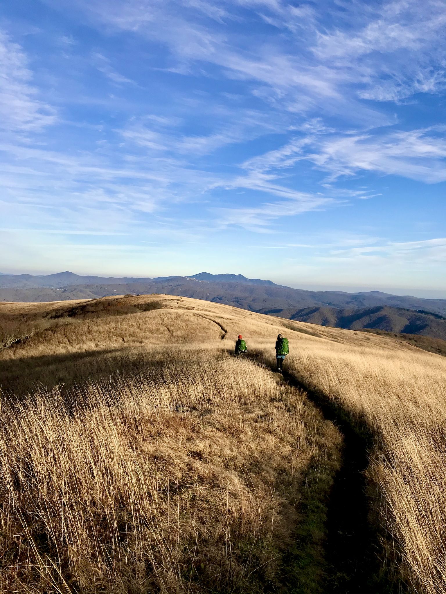
Appalachian Trail: Carvers Gap to US 19E — Over the balds of Roan Highlands
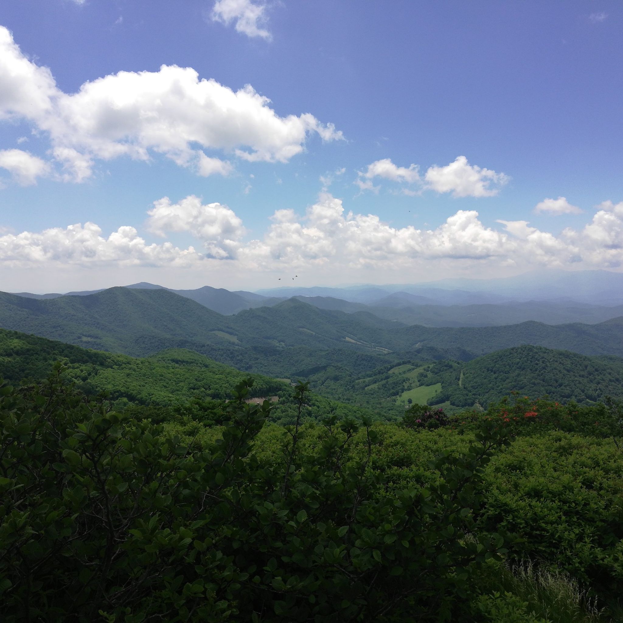
Hiking in Cherokee National Forest
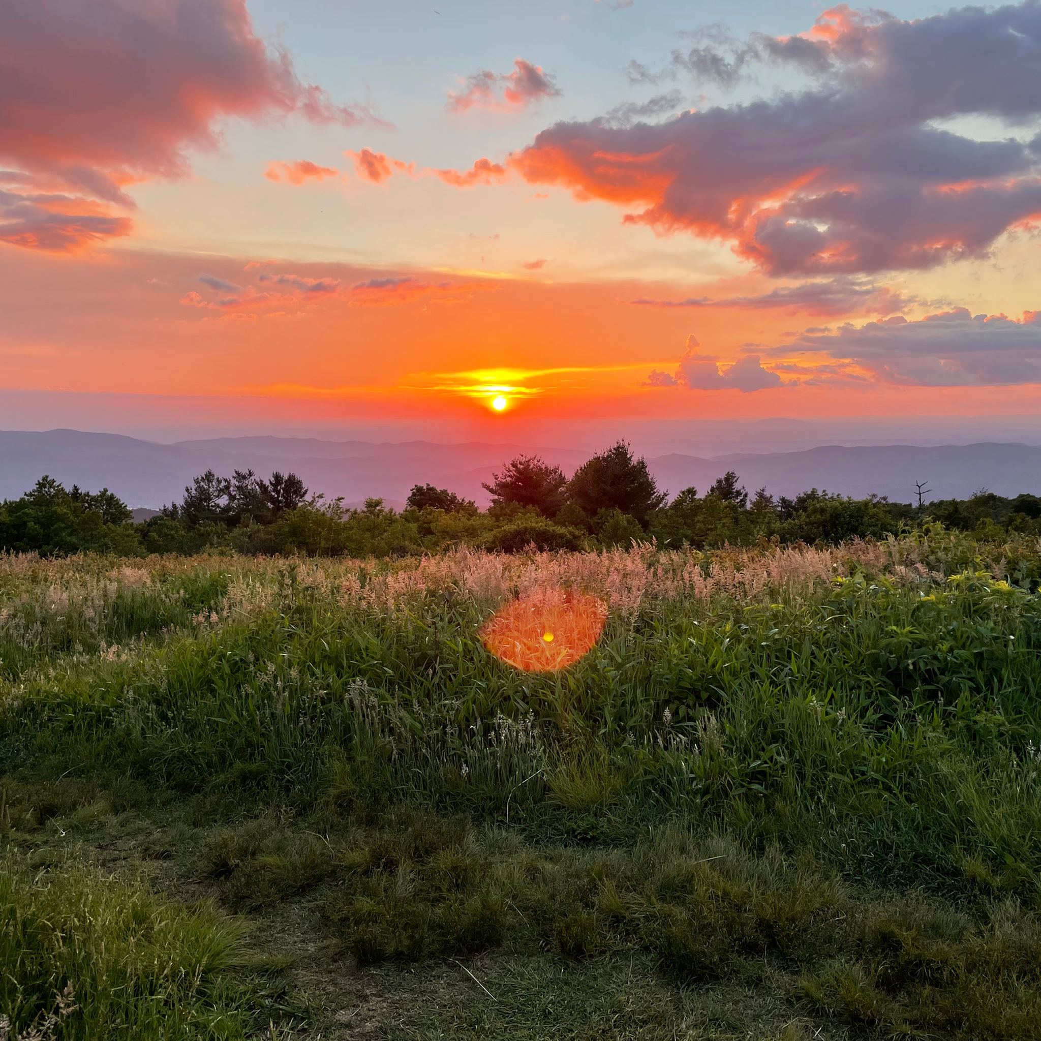
Cycling in Cherokee National Forest
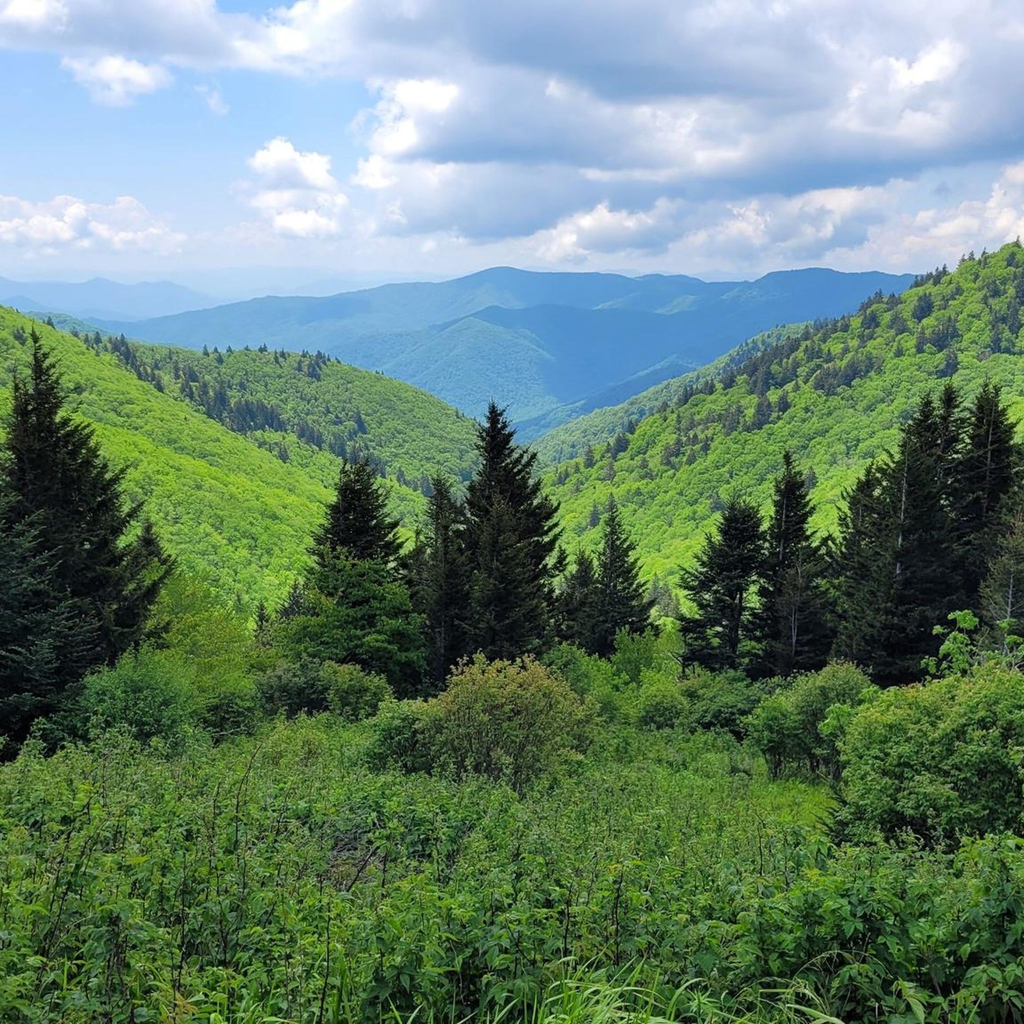
MTB Trails in Cherokee National Forest
Road Cycling Routes in Cherokee National Forest

Gravel biking in Cherokee National Forest
Other adventures in Cherokee National Forest


Tips from the Community

In late spring and early summer this trail has lovely wildflowers from wild blueberries, flame azaleas, to rhododendron. This trail is frequently windy and colder than lower elevations so it is good to wear layers on this trail even in summer.
0
0
Excellent hike on a full moon night. Bring a jacket since it is almost always windy up there. My photo in the highlights is on a full moon night.
0
0

The Appalachian Trail passes right over the top of Watauga Dam and looks over Watauga Lake. With the Pond Mountain Wilderness to the south and the Big Laurel Branch Wilderness to the north, this is a wild and secluded part of the AT. Once you get away from the boaters at the marina, you'll have a lot of solitude in either direction.
0
0
This bridge crosses over the Laurel Fork waterway, which gets pretty full in the spring and summer months. You actually have to cross the water a handful of times between here and Laurel Falls.
0
0
Laurel Falls is a really popular hiking destination. You can get there by taking the Appalachian Trail from Dennis Cove or by starting over in Hampton on the Blueline Trail. Note while out here that the white blazes on the trees and rocks are for the Appalachian Trail and the blue blazes are for the Blueline Trail. There is a super steep set of rock stairs for the final 200 meters down to the water. Be prepared to get in a workout once you leave the falls area!
0
0
Laurel Falls is a really popular hiking destination. You can get there by taking the Appalachian Trail from Dennis Cove or by starting over in Hampton on the Blueline Trail. Note while out here that the white blazes on the trees and rocks are for the Appalachian Trail and the blue blazes are for the Blueline Trail. There is a super steep set of rock stairs for the final 200 meters down to the water. Be prepared to get in a workout once you leave the falls area. If you can run up all the steps without having to hike at all, you're an absolute beast!
0
0
At 6,220 feet and just a short distance off of the highway, Roan High Bluff is an excellent lookout spot. The viewpoint on the Tennessee/North Carolina border offers views of Pisgah National Forest and many of the high summits in the Roan Mountain area. If you're already running over Cloudland Mountain, this overlook is a great add-on to your run.
0
0
Cloudland Mountain is a high point along the Appalachian Trail that is locked in the trees and rhododendrons. The Roan Bluffs Trail and Appalachian Trail intersect here, both of which provide access to nearby bluffs, summits, and overlooks.
0
0
Frequently Asked Questions
How many running routes are available in Cherokee National Forest?
Cherokee National Forest offers a wide array of running opportunities, with over 20 dedicated routes for you to explore. These range from easy paths to challenging mountain ascents, ensuring options for all skill levels.
What types of terrain can I expect on the jogging trails?
The trails in Cherokee National Forest traverse diverse landscapes, from dense woods and open fields to mountainous terrain. You'll find routes featuring creeks, smaller waterfalls, and sections along lakes like Watauga Lake and South Holston Lake. Elevated areas such as Iron Mountain and Bald Mountains provide more rugged options.
Are there any easy running trails suitable for beginners or a relaxed jog?
Yes, the forest includes several easy trails perfect for beginners or those seeking a more relaxed run. While specific easy routes aren't highlighted here, the extensive network of over 700 miles of non-motorized trails means you can find gentler paths. Look for trails with minimal elevation gain in areas like the Chilhowee Recreation Area.
Can I find trails with scenic views or natural landmarks?
Absolutely! The Cherokee National Forest is renowned for its scenic beauty. For panoramic vistas, consider the Appalachian Trail: Carvers Gap to Grassy Ridge Bald, which offers 360-degree views. You can also run to stunning waterfalls like Benton Falls or Laurel Falls, or explore sections with lake views, such as the Appalachian Trail: Shook Branch to Watauga Dam.
Are there any running routes that lead to waterfalls?
Yes, the forest is home to numerous waterfalls that can be incorporated into your run. The Appalachian Trail to Laurel Falls is a popular moderate route leading to an 80-foot waterfall. Other notable waterfalls in the forest include Benton Falls, Bald River Falls, and Jones Falls.
What do other runners say about the trails in Cherokee National Forest?
The running routes in Cherokee National Forest are highly regarded by the komoot community, boasting an average rating of 5.0 stars from numerous reviews. Runners frequently praise the diverse terrain, the stunning natural beauty, and the variety of options available, from challenging mountain runs to serene lakeside jogs.
Are there any challenging running trails for experienced runners?
For experienced runners seeking a challenge, Cherokee National Forest offers several difficult routes with significant elevation gain. The Appalachian Trail: US 19E to Hump Mountain is a demanding 10.7-mile route with over 2,600 feet of ascent. Another challenging option is the Appalachian Trail to Roan High Bluff, which offers rugged landscapes and rewarding views.
Are the running trails in Cherokee National Forest dog-friendly?
Many trails within the Cherokee National Forest are dog-friendly, allowing you to bring your canine companion along for a run. However, it's always recommended to keep dogs on a leash and to check specific trail regulations before you go, as rules can vary in certain protected areas or recreation zones.
What is the best time of year to go jogging in Cherokee National Forest?
The Cherokee National Forest offers excellent running conditions throughout much of the year. Spring brings lush greenery and blooming rhododendrons, while autumn showcases spectacular fall foliage. Summer is popular, but be mindful of heat and humidity, especially at lower elevations. Winter can offer serene, quiet runs, but some higher elevation trails may be inaccessible due to snow or ice.
Are there any loop or circular running routes available?
While many sections of the Appalachian Trail are point-to-point, the extensive network within Cherokee National Forest does include options for loop or circular routes. For example, the Ocoee River Loop Trail offers a moderate 9.7-mile roundtrip. Exploring areas like the Chilhowee Recreation Area can also provide opportunities for creating your own circular jogs on their trail systems.
What kind of wildlife might I encounter while running?
The Cherokee National Forest is rich in wildlife. While jogging, you might spot various bird species, including raptors, as well as reptiles and amphibians. Keep an eye out for deer and other forest creatures, adding to the immersive natural experience of your run.
Is public transport available to access the running trails?
Public transport options directly to the trailheads within the vast Cherokee National Forest are generally limited. Most visitors access the forest and its running routes by private vehicle. It's advisable to plan your trip with a car to ensure convenient access to your chosen starting points.
Most popular routes in Cherokee National Forest
Most popular attractions in Cherokee National Forest

Get inspired with the komoot mobile app


Explore more
Browse the best Running Trails & Routes in other regions.
