Easy hikes and walks in Cherokee National Forest
4.7
(98)
1,630
hikers
115
hikes
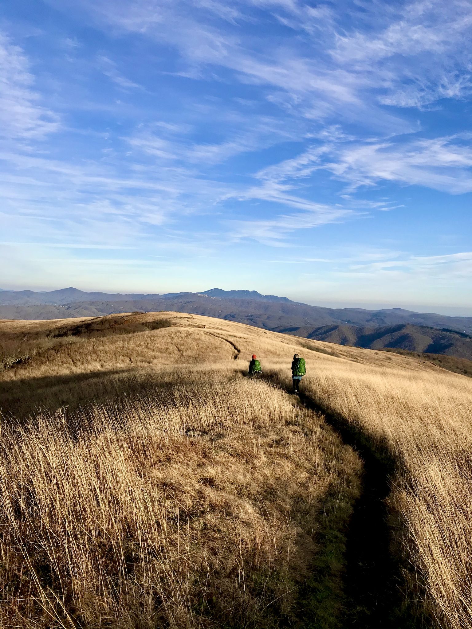
Easy hiking trails in Cherokee National Forest traverse a landscape characterized by extensive woodlands, diverse mountains, and numerous rivers and waterfalls. The forest features over 600 miles of trails, including sections of the Appalachian Trail, offering varied terrain for outdoor exploration. Hikers can experience serene lake settings, mountain views, and dense forest environments. This region provides a wide range of easy paths suitable for different activity levels.
Best easy hiking trails in Cherokee National Forest
- The most popular easy hiking…
Last updated: June 24, 2026
5.0
(1)
26
hikers
4.79km
01:13
20m
20m
Easy hike. Great for any fitness level. Easily-accessible paths. Suitable for all skill levels.
5.0
(1)
21
hikers
4.11km
01:21
260m
80m
Easy hike. Great for any fitness level. Easily-accessible paths. Suitable for all skill levels.

Sign up for free
10
hikers
5.82km
01:55
290m
200m
Easy hike. Great for any fitness level. Easily-accessible paths. Suitable for all skill levels.
7
hikers
3.77km
01:02
100m
0m
Easy hike. Great for any fitness level. Easily-accessible paths. Suitable for all skill levels.
5.0
(1)
6
hikers
2.36km
00:36
0m
10m
Easy hike. Great for any fitness level. Easily-accessible paths. Suitable for all skill levels.
Get access to more routes and recommendations from other explorers.
Sign up for free
Already have an account?
Our route recommendations are based on thousands of hikes, rides, and runs completed by other people on komoot.
Start today with a free account
Your next adventure awaits.
Login or Signup


Other adventures in Cherokee National Forest


Tips from the Community

On your way to Grassy Bald, you’ll pass through a natural rhododendron tunnel, one of the many found along the Appalachian Trail. It adds to the magic of the hike, especially when the branches are covered in pink blooms during spring and summer.
0
0

Buffalo Mountain Park is a 725-acre nature preserve featuring steep, forested terrain. There are several miles of hiking trails that have great views of the nearby mountains and valleys.
0
0

In late spring and early summer this trail has lovely wildflowers from wild blueberries, flame azaleas, to rhododendron. This trail is frequently windy and colder than lower elevations so it is good to wear layers on this trail even in summer.
0
0
Excellent hike on a full moon night. Bring a jacket since it is almost always windy up there. My photo in the highlights is on a full moon night.
0
0

This bridge crosses over the Laurel Fork waterway, which gets pretty full in the spring and summer months. You actually have to cross the water a handful of times between here and Laurel Falls.
0
0
Laurel Falls is a really popular hiking destination. You can get there by taking the Appalachian Trail from Dennis Cove or by starting over in Hampton on the Blueline Trail. Note while out here that the white blazes on the trees and rocks are for the Appalachian Trail and the blue blazes are for the Blueline Trail. There is a super steep set of rock stairs for the final 200 meters down to the water. Be prepared to get in a workout once you leave the falls area!
0
0
Laurel Falls is a really popular hiking destination. You can get there by taking the Appalachian Trail from Dennis Cove or by starting over in Hampton on the Blueline Trail. Note while out here that the white blazes on the trees and rocks are for the Appalachian Trail and the blue blazes are for the Blueline Trail. There is a super steep set of rock stairs for the final 200 meters down to the water. Be prepared to get in a workout once you leave the falls area. If you can run up all the steps without having to hike at all, you're an absolute beast!
0
0
Round Bald is a 5,826-foot bump along Grassy Ridge within the Roan Highlands. It's barely over a kilometer from the car, so it sees a lot of crowds and picture-enthusiasts. Once you continue your run towards Jane Bald and Grassy Ridge Bald, you'll get a lot more solitude.
0
0
Frequently Asked Questions
How many easy hiking trails are available in Cherokee National Forest?
Cherokee National Forest offers a wide selection of easy hiking trails, with over 50 routes specifically categorized as easy. In total, the forest boasts more than 120 hiking routes, catering to various skill levels.
Are there any easy loop trails in Cherokee National Forest?
Yes, there are several easy loop trails. For a serene experience around a scenic lake, consider the Indian Boundary Lake Trail. Another option is the Osceola Island Loop, which offers a pleasant, short walk.
What are some family-friendly easy hikes in Cherokee National Forest?
Many easy trails are suitable for families. The Indian Boundary Lake Trail is a popular choice due to its flat terrain and scenic lake views. Trails leading to waterfalls, such as Laurel Falls, are also often enjoyed by families.
Can I bring my dog on easy hikes in Cherokee National Forest?
Yes, dogs are generally welcome on trails in Cherokee National Forest, provided they are kept on a leash. Always check specific trail regulations before heading out, but most easy hiking trails are dog-friendly.
Are there easy hikes that feature waterfalls in Cherokee National Forest?
Absolutely. The forest is known for its numerous waterfalls. An easy hike to experience this is the Laurel Falls Trail. Other notable waterfalls in the area include Benton Falls and Bald River Falls, some of which have accessible viewing points or easy trails nearby.
What kind of natural features or landmarks can I expect to see on easy trails?
Easy trails in Cherokee National Forest often lead through dense woodlands, alongside rivers like the Ocoee and Hiwassee, and to serene lakes such as Indian Boundary Lake. You might also encounter stunning waterfalls like Benton Falls or enjoy open views from balds, such as those found near the Grassy Ridge Bald via Appalachian Trail.
What is the best time of year for easy hikes in Cherokee National Forest?
The Cherokee National Forest is beautiful year-round. Spring brings lush greenery and blooming wildflowers, while autumn offers spectacular fall foliage. Summer is popular for shaded trails and water features. Winter can provide peaceful, less crowded experiences, though some higher elevation trails might have snow or ice.
How long do easy hikes typically take in Cherokee National Forest?
The duration of easy hikes varies depending on the trail length and your pace. For example, the Indian Boundary Lake Trail, at about 3 miles, typically takes around 1 hour and 15 minutes. Shorter loops like the Osceola Island Loop can be completed in under an hour.
Do I need a permit for day hikes in Cherokee National Forest?
Generally, day hikes in Cherokee National Forest do not require a permit. However, some specific recreation areas or campgrounds may have day-use fees or require passes. It's always best to check with the specific ranger district for the area you plan to visit.
What do other hikers enjoy most about easy trails in Cherokee National Forest?
The easy trails in Cherokee National Forest are highly rated by the komoot community, with an average score of 4.8 stars. Reviewers often praise the quiet woodlands, the beauty of the rivers and lakes, and the accessibility of trails leading to stunning natural features like waterfalls and scenic overlooks.
Are there any easy trails with mountain views?
Yes, even easy trails can offer rewarding mountain views. The Grassy Ridge Bald via Appalachian Trail provides open, expansive views from a bald. Additionally, the Buffalo Mountain Tip Top Trail, while leading through mountain terrain, is categorized as easy and offers scenic vistas.
Most popular routes in Cherokee National Forest
Most popular attractions in Cherokee National Forest

Get inspired with the komoot mobile app


Explore more
Browse the best Hikes in other regions.
