The 12 Most Amazing Peaks around Belmonte De Miranda
Best mountain peaks around Belmonte De Miranda are found within a mountainous landscape, part of the Cantabrian Mountains in Asturias, Spain. This region is characterized by its biodiversity and cultural heritage, including historical Roman gold mining. The area offers a variety of peaks for nature enthusiasts and hikers. Many of these peaks are located within or near the Somiedo Natural Park, highlighting their ecological importance.
Best mountain peaks around Belmonte De Miranda
- The most popular mountain peaks is Alto de…
Last updated: October 11, 2026
Alto de la Farrapona
Highlight • Mountain Pass
Translated by Google •
Tip by

Ventana Pass
Highlight • Mountain Pass
Translated by Google •
Tip by

Sign up now to discover places like this
Get recommendations on the best single tracks, peaks, & plenty of other exciting outdoor places.
Peña Orniz Summit (2,191 m)
Highlight • Summit
Translated by Google •
Tip by

Pico Cornón
Highlight • Summit
Translated by Google •
Tip by
Alto de l'Angliru Summit Monument
Highlight • Monument
Translated by Google •
Tip by

Alto de Gamoniteiro
Highlight • Summit
Translated by Google •
Tip by

Summit of the Puertos de Marabio
Highlight • Summit
- San Pedro, with a length of 19.40 km and a …
Translated by Google •
Tip by
Ascent to Altu d'El Gamoniteiru / Alto Gamoniteiro from Pola de Lena
Highlight (Segment) • Climb
15 kilometers and …
Translated by Google •
Tip by

Sanctuary of the Virgin of Alba
Highlight • Religious Site
Translated by Google •
Tip by

Views of Pico el Comal
Highlight • Viewpoint
Translated by Google •
Tip by

Sign up for free to discover even more peaks around Belmonte De Miranda.
Already have an account?
Start today with a free account
Your next adventure awaits.
Popular around Belmonte De Miranda
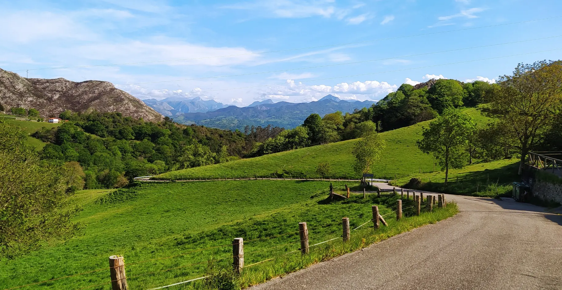
Great mountain passes of Picos de Europa on road bikes

12 hiking gems throughout Spain
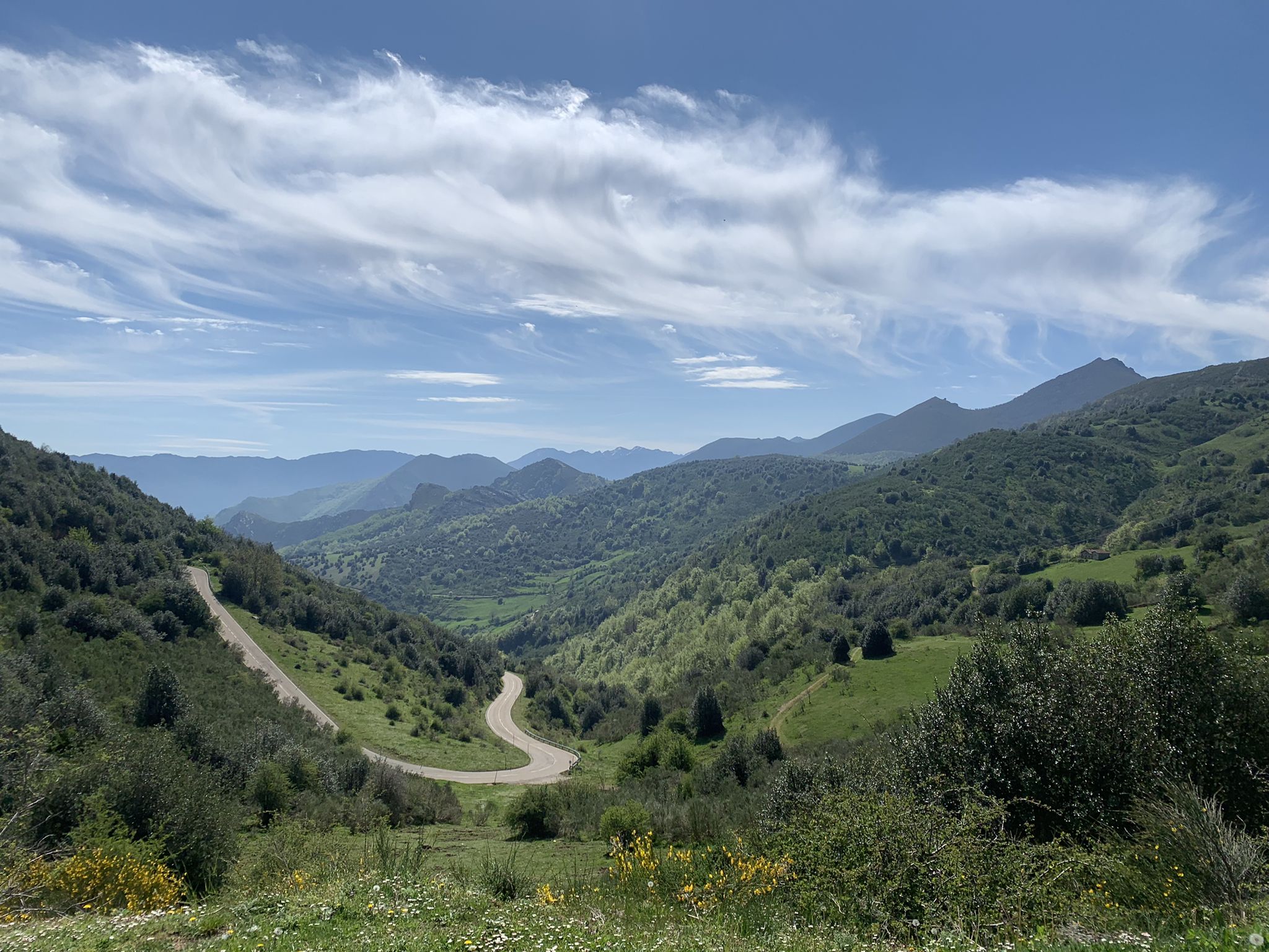
Along a Roman road to Asturias in Spain – Camino Real de la Mesa (GR 101)

TransCantabrica – Extreme mountain biking in northern Spain
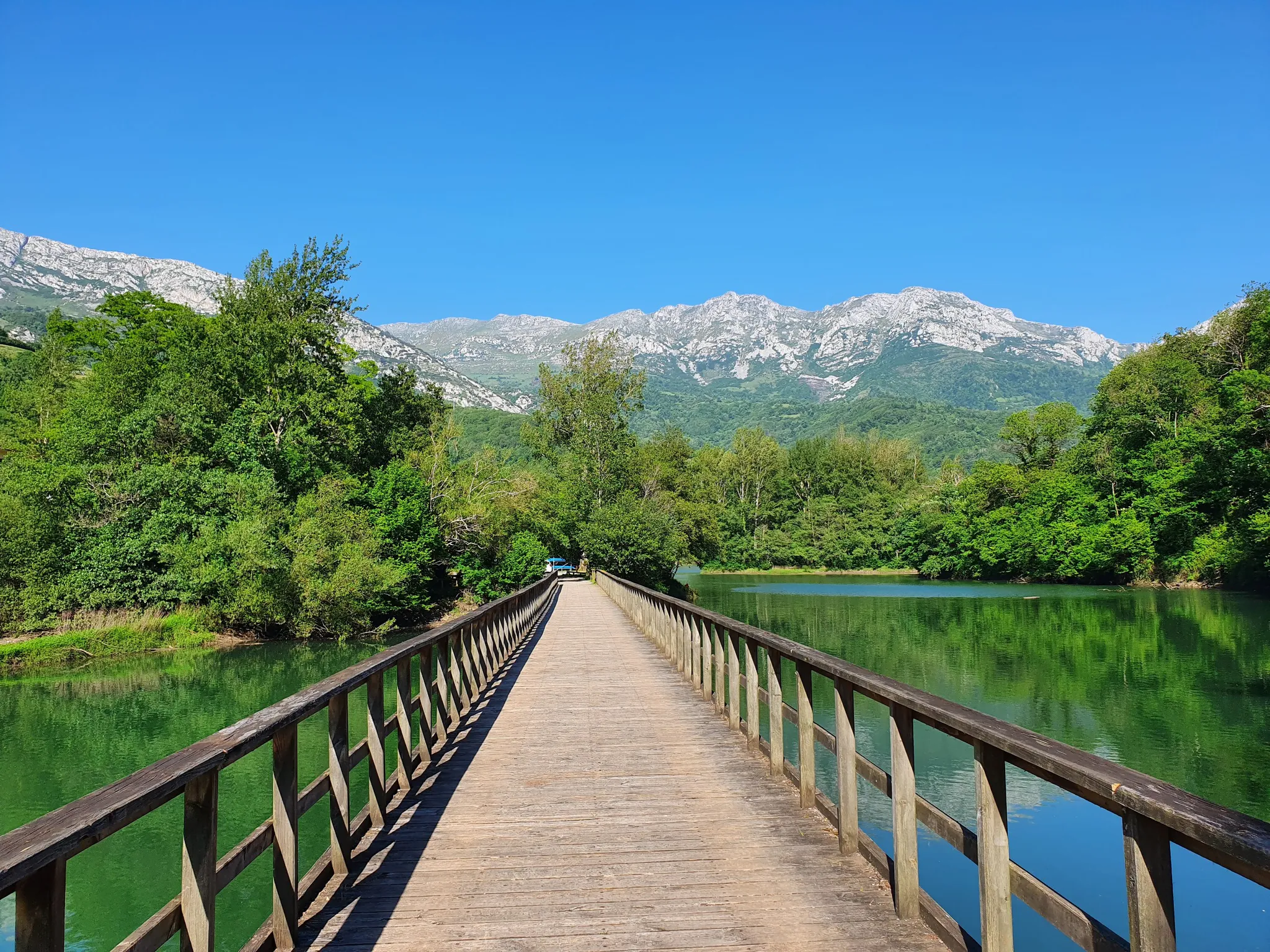
The secrets of the Cantabrian Mountains – GR 109 Asturias Interior
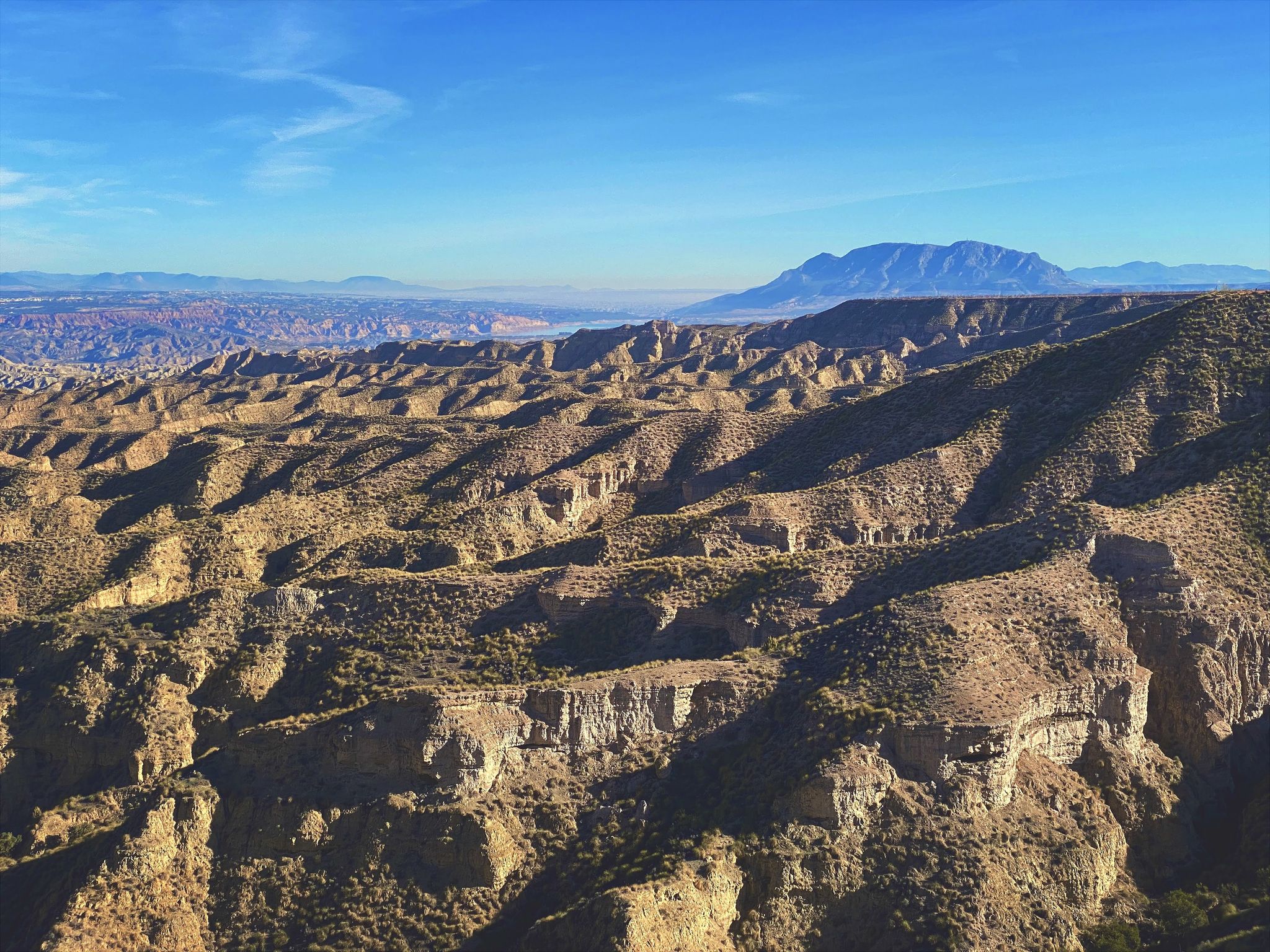
Discover Spain by gravel — a selection of must-see routes
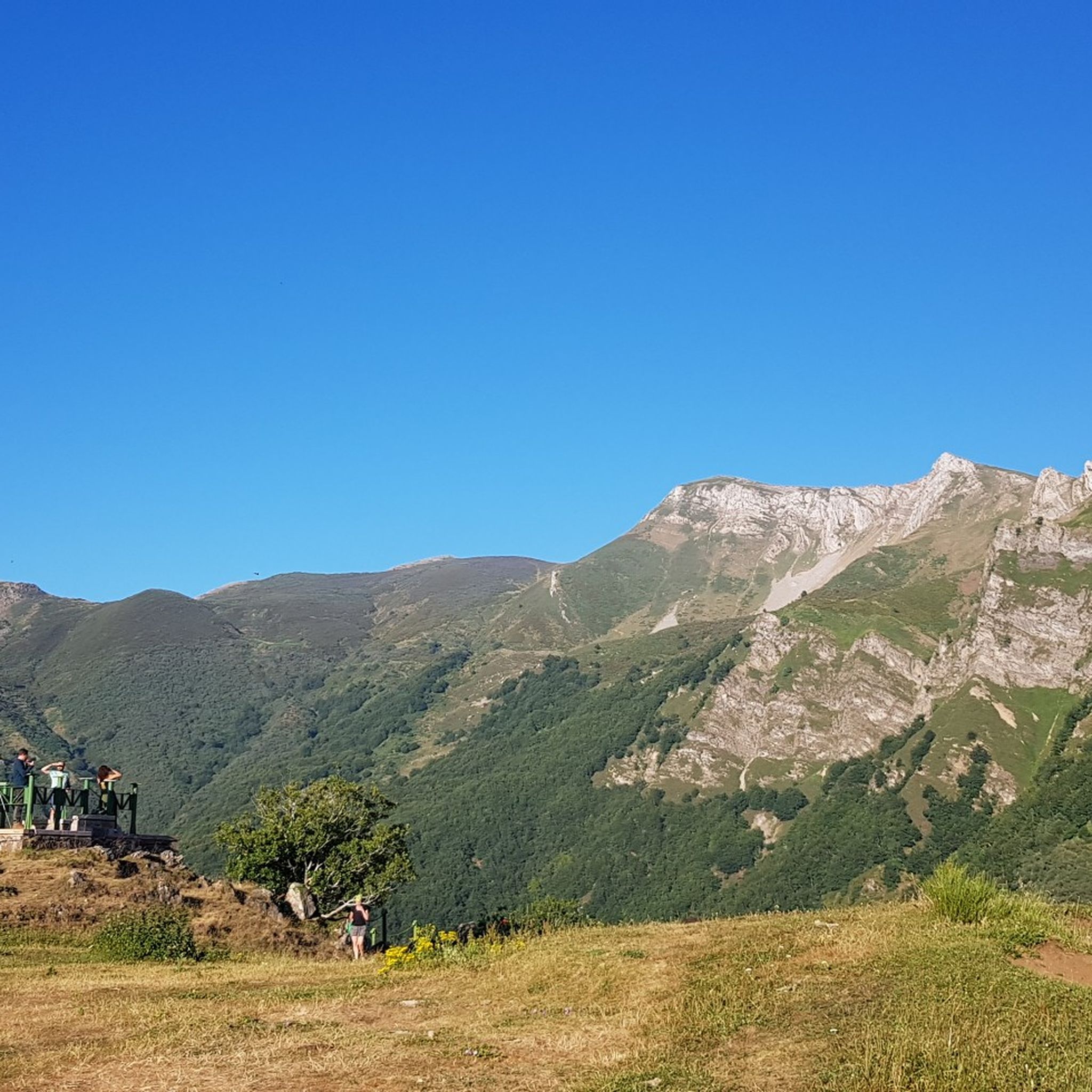
Hiking around Belmonte De Miranda
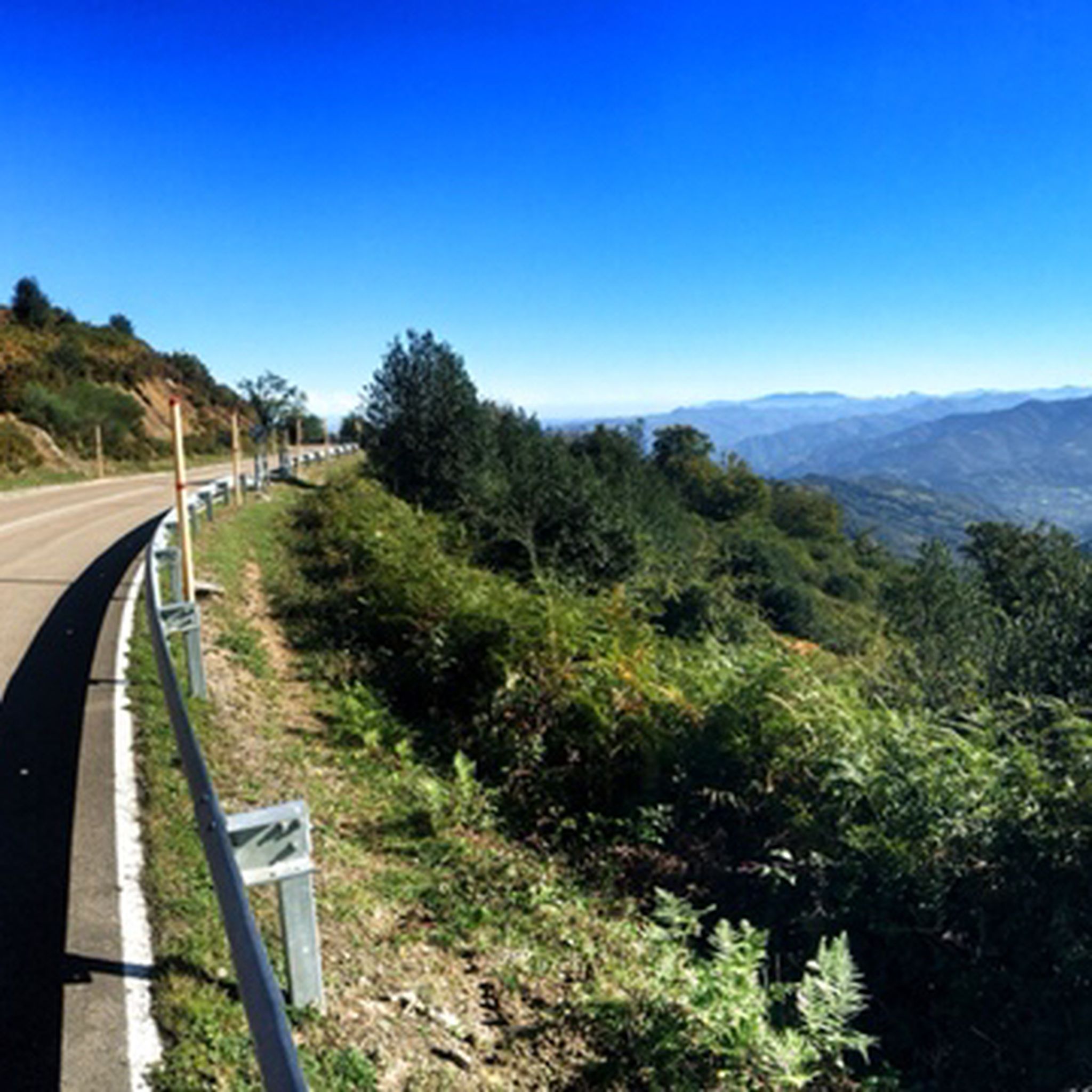
Road Cycling Routes around Belmonte De Miranda
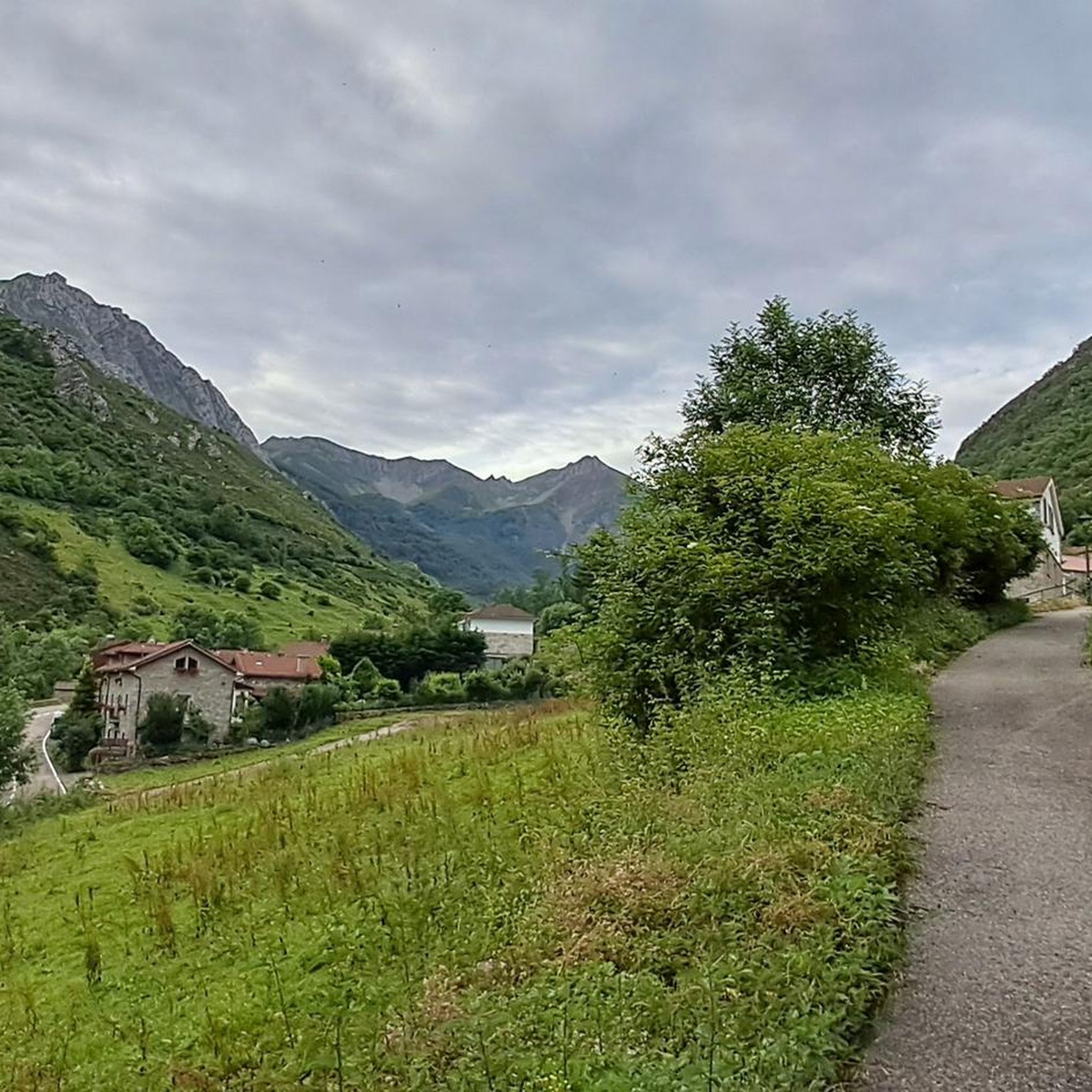
Cycling around Belmonte De Miranda
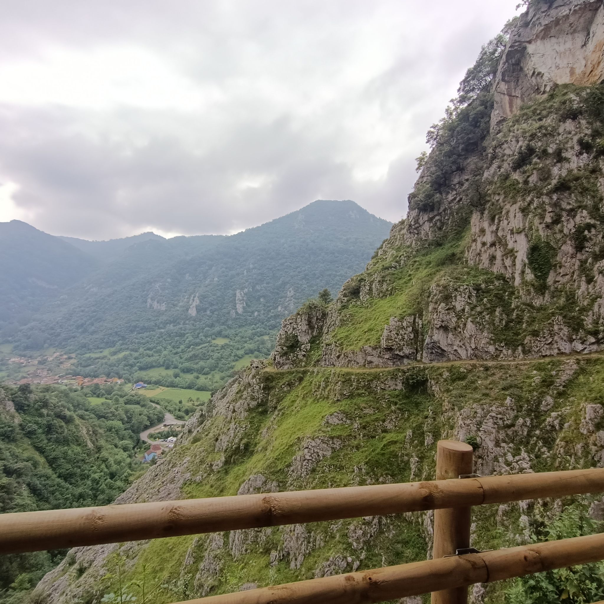
MTB Trails around Belmonte De Miranda
Other adventures around Belmonte De Miranda


Tips from the Community

Gamoniteiru is the highest peak in the Aramo mountain range, located in the geographical center of Asturias. Its 1791 meters stand out above the other peaks in the area. It has an average gradient of approximately 10% and a maximum of 18%, is about 15 km long, and climbs 1465 meters. It's a tough climb with little respite. If you start too fast, it feels incredibly long.
0
0

The pass is now paved and can be driven on by car.
1
0

During the mining era, this pass served as a discreet link between mines on either side, and minimal traces of old cart and mule traffic remain, though they don't coincide with the current road. From above, the wind is almost constant, and the view towards the Saliencia lakes has that air of a "natural viewpoint" before the term even existed. It's perfect to mark on Komoot as a key point on your route due to its spaciousness, its somewhat hidden history, and its character as a natural border.
1
0
One of the toughest climbs in Europe, try to save your strength, the hard part is at the end.
0
0

Only the most avid cyclists dare to climb this plain in the middle of nowhere. The satisfaction of summiting this extremely tough pass and taking in the views is within reach of only a few.
0
0
The climb can be tough, but the descent shouldn't be underestimated, especially for those with caliper brakes, as the tires can get very hot, and my advice is to stop every two or three minutes to give it time to cool down.
0
0
save your strength at the beginning, the hardest part is at the end
0
0
One of the toughest climbs in Europe, take it easy, the hardest part is at the end.
0
0
Frequently Asked Questions
What are some of the most notable mountain peaks in the Belmonte de Miranda region?
The Belmonte de Miranda region, part of the Cantabrian Mountains, offers several significant peaks. Among them, Alto de Gamoniteiro is popular for its impressive views as clouds fill the valleys. Pico Cornón is known for its natural beauty and as a destination for mountaineers. Additionally, Peña Orniz Summit (2,191 m) provides extensive views of the Somiedo Natural Park and the Cantabrian mountain range.
Are there any particularly high or challenging peaks for experienced hikers in Belmonte de Miranda?
Yes, for experienced hikers, the region offers challenging ascents. Peña Orniz Summit (2,191 m) is one of the highest peaks, bordering León and Asturias, with spectacular views. Pico Cornón, at 2,182 meters, is another high peak popular with mountaineers. Within the municipality, Pico Horru (also known as Peña Manteca) is the highest point at 1,527 meters, offering rewarding views after a significant challenge.
What kind of views can I expect from the mountain peaks in Belmonte de Miranda?
The mountain peaks in Belmonte de Miranda offer diverse and stunning panoramic views. From Alto de Gamoniteiro, visitors often witness an 'otherworldly environment' as clouds fill the valleys below. El Courío (or Peña Aguda) provides excellent panoramic views over the basins of the Pigüeña and Narcea rivers. From Peña Orniz Summit (2,191 m), you can see the Somiedo Natural Park and a large part of the Cantabrian mountain range.
Are there any historical or cultural sites associated with the mountain peaks in this area?
Yes, the region has a rich historical context. The area around El Courío (Peña Aguda) is mentioned in connection with Roman gold mining. Additionally, the mountains reflect the pastoral history of Asturias, with old cabins and shepherds' huts ('brañas') found along routes to peaks like Pico Horru. The Sanctuary of the Virgin of Alba is also a historical and religious site located at a summit.
What outdoor activities can I do near the mountain peaks of Belmonte de Miranda?
The mountainous landscape around Belmonte de Miranda is ideal for various outdoor activities. You can find numerous hiking routes, including moderate trails like the Saliencia Lakes Loop and the Circular Route of the Lake Valley, or more difficult ones like the Cornón Route. For cyclists, there are challenging road cycling routes such as the San Lorenzo, Somiedo, and Ventana Passes Loop, and touring bicycle options like the Lagos de Saliencia circular route. You can explore more options on the Hiking around Belmonte De Miranda, Road Cycling Routes around Belmonte De Miranda, and Cycling around Belmonte De Miranda guide pages.
Are there any mountain passes in the Belmonte de Miranda area that offer scenic routes or viewpoints?
Absolutely. Ventana Pass is a notable mountain pass located in the Cantabrian Mountains, offering breathtaking views of the San Emiliano Valley. It's a popular spot for road cycling, with challenging ascents. Another significant pass is the Summit of the Puertos de Marabio, which also provides scenic routes with various ascent options.
What kind of wildlife can be spotted in the mountains around Belmonte de Miranda?
The mountains around Belmonte de Miranda are part of a region known for its rich biodiversity, including the Somiedo Natural Park. This area is home to varied fauna, including wolves, foxes, and brown bears. The diverse habitats, from forests to native flora, support a wide range of species, making it an excellent region for wildlife spotting.
Are there any less crowded mountain trails or peaks for a more tranquil experience?
For those seeking a wilder, less-traveled experience, La Forca, situated in the Sierra de La Bustariega, offers routes through terrain that can be challenging and may lack clear paths, especially in certain seasons. Its location on the municipal border provides unique vantage points and a chance to explore a more tranquil part of the Asturian mountains, particularly for experienced hikers.
What is the highest peak within the municipality of Belmonte de Miranda itself?
The highest peak located entirely within the municipality of Belmonte de Miranda is Pico Horru, also known as Peña Manteca. It reaches an altitude of 1,527 meters and is situated in the Sierra de la Manteca. The ascent offers formidable panoramic views and passes through traditional Asturian villages.
What makes the Sierra de la Manteca significant in Belmonte de Miranda?
The Sierra de la Manteca is a prominent mountain range in Belmonte de Miranda, home to several key peaks. It includes Pico Horru, the highest point in the municipality, as well as Pico La Chana and Los Calostros del Pousadoiro. This sierra offers diverse hiking opportunities, varied vegetation, and contributes significantly to the expansive mountain views and natural beauty of the area.
What do visitors particularly enjoy about the mountain peaks in Belmonte de Miranda?
Visitors appreciate the stunning natural beauty and the rewarding views from the peaks. Many find the climbs visually impressive, with highlights like Alto de Gamoniteiro offering magical experiences as clouds fill the valleys. The opportunity to explore traditional Asturian rural life and the tranquil environment also adds to the appeal, as noted by the komoot community who have shared numerous photos and upvotes for the region's highlights.
Most popular routes around Belmonte De Miranda
Most popular attractions around Belmonte De Miranda

Get inspired with the komoot mobile app


Didn’t find what you were looking for?
Discover Belmonte De Miranda’s best peaks and summits by region:
Explore more
See even more amazing summits around Belmonte De Miranda with these guides:
