Easy hikes and walks around Belmonte De Miranda
4.5
(1242)
9,908
hikers
143
hikes
Easy hiking trails around Belmonte De Miranda traverse a landscape characterized by mountains, valleys, and the Pigüeña River. The region is situated at the gateway to the Somiedo Natural Park, an area known for its native forests and diverse biodiversity. Hikers can explore varied terrain, including traditional shepherd's hut settlements and natural viewpoints.
Best easy hiking trails around Belmonte De Miranda
- The most popular easy hiking route is Senda del Oso: Valdemurio Reservoir Loop, a 2.0 miles (3.3 km)…
Last updated: August 20, 2026
5.0
(3)
17
hikers
3.29km
00:53
40m
40m
Hike the easy 2.0-mile Senda del Oso: Valdemurio Reservoir Loop, enjoying reservoir views and a tunnel in Asturias, Spain.
5.0
(1)
4
hikers
4.23km
01:10
80m
80m
Hike the easy Senda del Oso Greenway, a 2.6-mile trail through Asturian nature, featuring old mining tunnels and bear enclosures.

Sign up for free
4.7
(7)
103
hikers
Easy hike. Great for any fitness level. Easily-accessible paths. Suitable for all skill levels.
4.9
(9)
78
hikers
6.30km
01:53
200m
200m
Easy hike. Great for any fitness level. Easily-accessible paths. Suitable for all skill levels.
4.4
(5)
16
hikers
4.45km
01:27
190m
190m
Easy hike. Great for any fitness level. Easily-accessible paths. Suitable for all skill levels.
4.4
(5)
16
hikers
Easy hike. Great for any fitness level. Easily-accessible paths. Suitable for all skill levels.
5.0
(3)
16
hikers
6.33km
01:45
110m
110m
Easy hike. Great for any fitness level. Easily-accessible paths. Suitable for all skill levels.
4.8
(5)
17
hikers
6.47km
01:55
190m
190m
Easy hike. Great for any fitness level. Easily-accessible paths. Suitable for all skill levels.
4.9
(7)
75
hikers
5.28km
01:51
290m
290m
Easy hike. Great for any fitness level. Easily-accessible paths. Suitable for all skill levels.
5.0
(1)
19
hikers
2.58km
00:43
50m
50m
Easy hike. Great for any fitness level. Easily-accessible paths. Suitable for all skill levels.
Get access to more routes and recommendations from other explorers.
Sign up for free
Already have an account?
Our route recommendations are based on thousands of hikes, rides, and runs completed by other people on komoot.
Start today with a free account
Your next adventure awaits.
Login or Signup
Popular around Belmonte De Miranda
Easy hikes in Las Ubiñas-La Mesa
Easy hikes around National Park Ubiñas-La Mesa

Easy hikes around National Park Somiedo

Easy hikes in Somiedo

12 hiking gems throughout Spain
Along a Roman road to Asturias in Spain – Camino Real de la Mesa (GR 101)
The secrets of the Cantabrian Mountains – GR 109 Asturias Interior
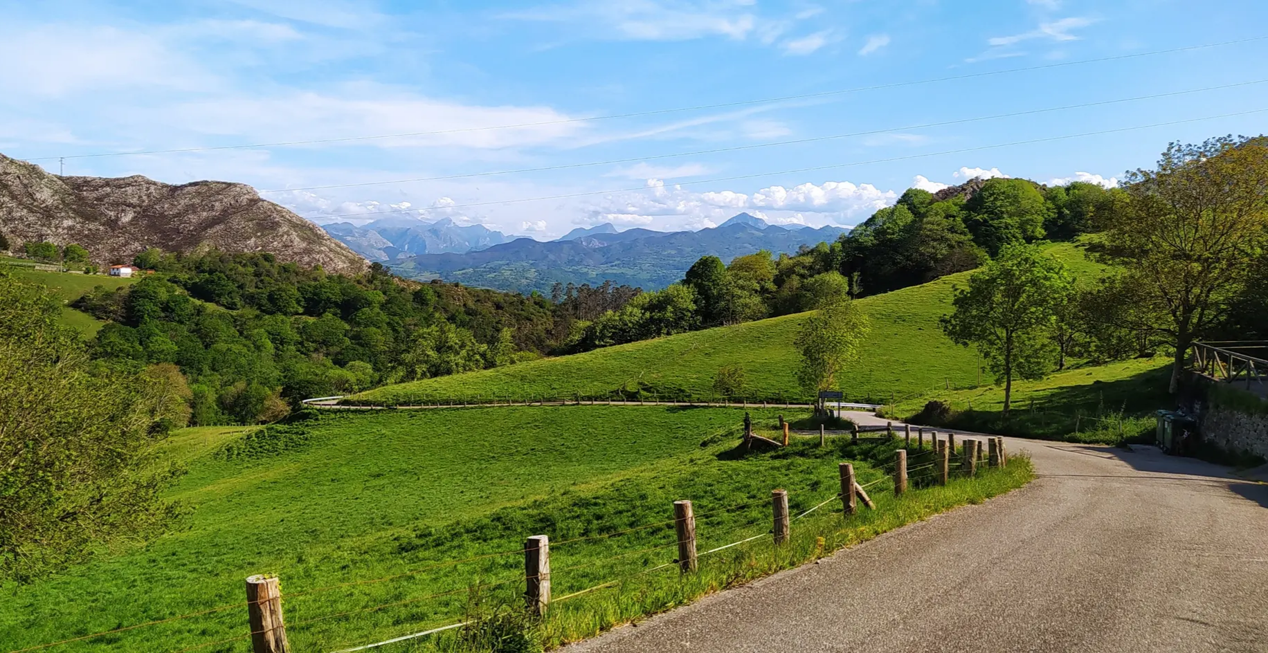
Great mountain passes of Picos de Europa on road bikes

TransCantabrica – Extreme mountain biking in northern Spain
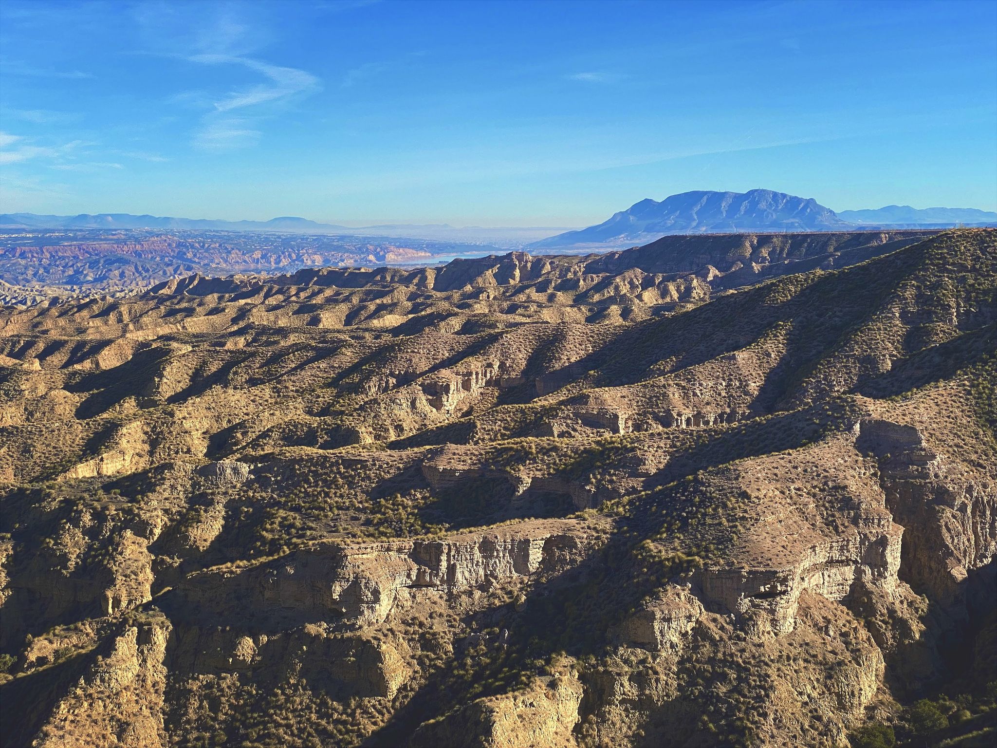
Discover Spain by gravel — a selection of must-see routes
Other adventures around Belmonte De Miranda


Tips from the Community

The pass is now paved and can be driven on by car.
1
0

During the mining era, this pass served as a discreet link between mines on either side, and minimal traces of old cart and mule traffic remain, though they don't coincide with the current road. From above, the wind is almost constant, and the view towards the Saliencia lakes has that air of a "natural viewpoint" before the term even existed. It's perfect to mark on Komoot as a key point on your route due to its spaciousness, its somewhat hidden history, and its character as a natural border.
1
0
A glacial lake nestled between limestone walls, with a little-known detail: beneath the surrounding meadow, remnants of the old road used to transport materials for the region's former water network are still visible—a nearly erased trace that lends the place a dual character, both natural and industrious. The lake changes dramatically with the light: on cloudy days it appears opaque and heavy, but in sunlight it displays an intense green that reveals its depth and rocky bottom. It's a good spot to pause and appreciate the contrast between the wild landscape and the barely visible but still present vestiges of human activity.
1
0

Do not lean on the railing; someone has already fallen and died because there are sections of rotten wood.
0
0

You can park your car here if you're heading into the Las Xanas Gorge. Alternatively, you can continue uphill for another 500 meters and park there (there are 3-4 spaces), saving yourself 50 meters of ascent and descent. It's still steep enough!
0
0
The descent via Dosango (as an alternative to the path through the Las Xanas Gorge) has a steep gradient throughout and can be very slippery in wet weather.
0
1
In reality, you can see the Trubia Valley from the Desfiladero de las Xanas
1
0
The mountain path along the edge of the "Nymphs' Gorge" (Desfiladero de las Xanas) leads through several tunnels. These represent preparatory work from the 1930s for a road that was ultimately never built.
2
0
Frequently Asked Questions
How many easy hiking trails are available in Belmonte de Miranda?
Belmonte de Miranda offers 19 easy hiking trails, part of a larger network of over 125 routes catering to various skill levels.
What kind of landscapes can I expect on easy hikes in Belmonte de Miranda?
Easy hikes in Belmonte de Miranda showcase diverse landscapes, from river valleys along the Pigüeña River to native forests and traditional Asturian settlements. You'll find routes that offer views of the Somiedo Natural Park's rich biodiversity and glimpses of rural life.
Are there any family-friendly easy hikes in Belmonte de Miranda?
Yes, several easy trails are suitable for families. The Senda del Oso: Valdemurio Reservoir Loop is a great option, offering gentle terrain and scenic views. Another excellent choice is the Senda del Oso Greenway, which follows an old railway line, providing a flat and accessible surface perfect for all ages.
Can I bring my dog on the easy hiking trails?
Many trails in Belmonte de Miranda are dog-friendly, but it's always recommended to keep your dog on a leash, especially in areas with wildlife or livestock. The Senda del Oso: Valdemurio Reservoir Loop and the Senda del Oso Greenway are popular choices for hikers with dogs due to their accessible nature.
What interesting landmarks or natural features can I see on easy hikes?
Easy hikes can lead you to various points of interest. You might encounter traditional shepherd's hut settlements like Braña de Mumián, or explore natural formations such as the Route of the Xanas or the Desfiladero de Peñas Juntas on the Senda del Oso. Many trails also offer panoramic views from natural viewpoints.
Are there any circular easy walks in Belmonte de Miranda?
Yes, several easy circular routes are available. The Braña de Mumián loop from El Campu is a great example, allowing you to experience the scenery and return to your starting point without retracing your steps.
What is the best time of year for easy hiking in Belmonte de Miranda?
The spring and autumn months generally offer the most pleasant conditions for easy hiking, with mild temperatures and vibrant natural colors. Summer can also be enjoyable, especially in the mornings or late afternoons, while winter hikes are possible but may require checking trail conditions for snow or ice, particularly at higher elevations.
What do other hikers enjoy most about easy trails in Belmonte de Miranda?
The easy trails in Belmonte de Miranda are highly rated by the komoot community, with an average score of 4.6 stars. Hikers often praise the region's diverse natural beauty, the tranquility of the routes, and the opportunity to explore traditional Asturian landscapes and settlements.
Is public transport available to reach easy hiking trailheads?
While public transport options exist in the broader region, direct access to all easy hiking trailheads in Belmonte de Miranda can be limited. It's advisable to check local bus schedules for routes connecting to larger towns or popular starting points like those for the Senda del Oso, and plan accordingly.
Where can I find parking for easy hikes?
Parking is generally available near popular trailheads and villages. For routes like the Senda del Oso: Valdemurio Reservoir Loop, designated parking areas are usually provided. It's recommended to check specific route details for parking information before you go.
Are there any easy hikes that offer views of lakes or reservoirs?
Yes, you can find easy hikes with beautiful water views. The Senda del Oso: Valdemurio Reservoir Loop, for instance, provides lovely vistas of the Valdemurio Reservoir, making it a popular choice for those seeking waterside scenery.
What kind of wildlife might I encounter on easy hikes?
Belmonte de Miranda is rich in biodiversity. While on easy hikes, you might spot various birds, foxes, or roe deer. The region is also known for its larger mammals like wild boars and even brown bears, especially in areas bordering the Somiedo Natural Park, though sightings are less common on well-trafficked easy trails.
Most popular routes around Belmonte De Miranda
Most popular attractions around Belmonte De Miranda

Get inspired with the komoot mobile app


Didn’t find what you were looking for?
Check out more Hikes throughout Belmonte De Miranda below and find the perfect route in your destination.
Explore more
Browse the best Hikes in other regions.
