The best cycling routes around Belmonte De Miranda
4.7
(169)
2,523
riders
56
rides
Touring cycling routes around Belmonte De Miranda traverse a landscape characterized by the Somiedo Natural Park, a UNESCO Biosphere Reserve, featuring glacial lakes, dense forests of oaks and beeches, and varied river valleys. The region includes mountain ranges like the Sierra de Arceyo and the foothills of the Sierra de Begega, offering diverse terrain for cyclists. River basins, such as the Pigüeña valley, provide routes through areas dedicated to livestock farming and showcase defiles and high-mountain environments. This topography presents…
Last updated: August 31, 2026
2.0
(1)
23
riders
44.7km
03:59
1,370m
1,370m
Hard bike ride. Very good fitness required. You may need to push your bike for some segments of this route.
25
riders
Hard bike ride. Very good fitness required. Mostly paved surfaces. Suitable for all skill levels.

Sign up for free
11
riders
55.7km
04:45
1,700m
1,700m
Hard bike ride. Very good fitness required. Mostly paved surfaces. Suitable for all skill levels.
1
riders
60.8km
05:34
1,880m
1,870m
Hard bike ride. Very good fitness required. Some segments of this route may be unpaved and difficult to ride.
51.6km
04:08
1,310m
1,310m
Hard bike ride. Very good fitness required. Mostly paved surfaces. Suitable for all skill levels.
4.9
(52)
593
riders
34.8km
02:38
630m
630m
Hard bike ride. Very good fitness required. Mostly paved surfaces. Suitable for all skill levels.
4.9
(62)
653
riders
38.1km
03:11
730m
730m
Hard bike ride. Very good fitness required. You may need to push your bike for some segments of this route.
4.5
(6)
61
riders
51.1km
04:52
1,500m
1,500m
Hard bike ride. Very good fitness required. Mostly paved surfaces. Suitable for all skill levels.
5.0
(2)
59
riders
27.8km
02:36
1,160m
1,160m
Hard bike ride. Very good fitness required. Mostly paved surfaces. Suitable for all skill levels.
4.3
(3)
49
riders
20.0km
01:36
320m
320m
Hard bike ride. Good fitness required. You may need to push your bike for some segments of this route.
Get access to more routes and recommendations from other explorers.
Sign up for free
Already have an account?
Our route recommendations are based on thousands of hikes, rides, and runs completed by other people on komoot.
Start today with a free account
Your next adventure awaits.
Login or Signup
Popular around Belmonte De Miranda
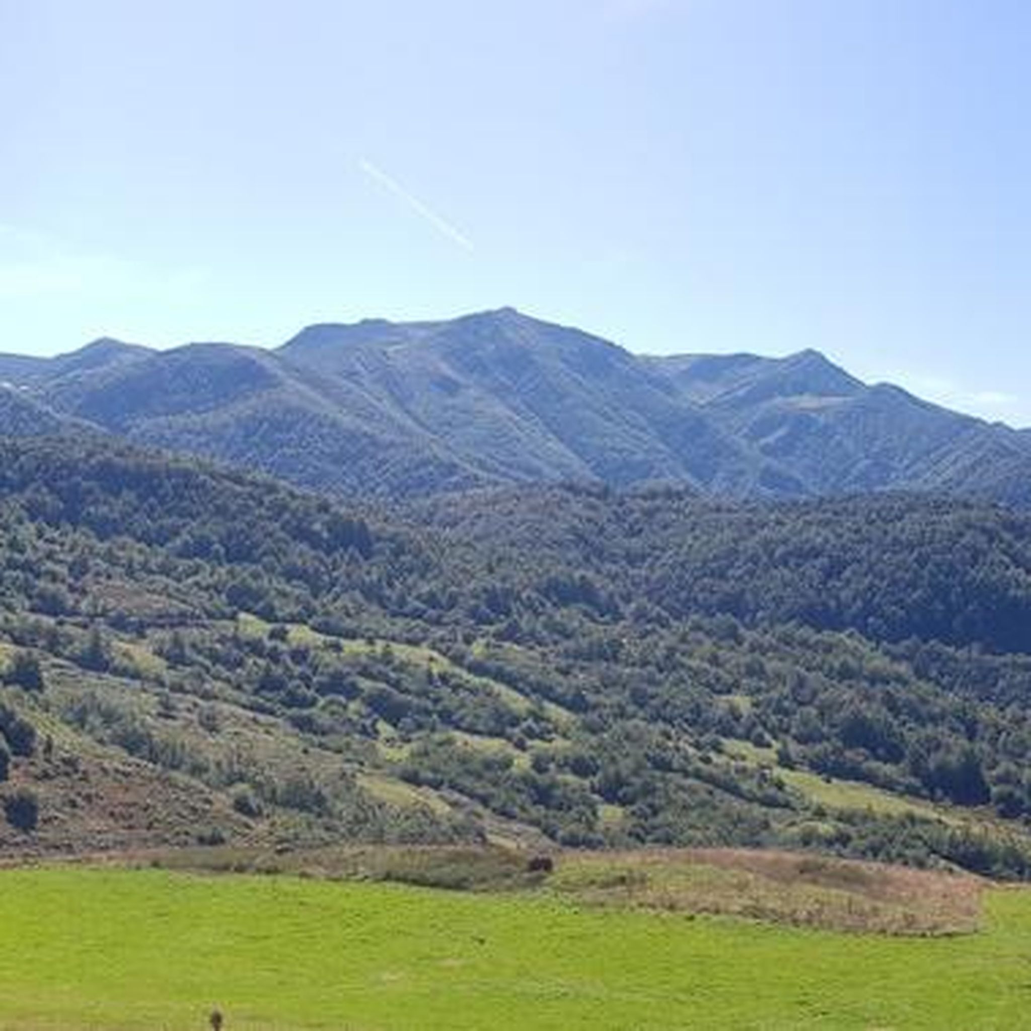
Cycling around National Park Ubiñas-La Mesa
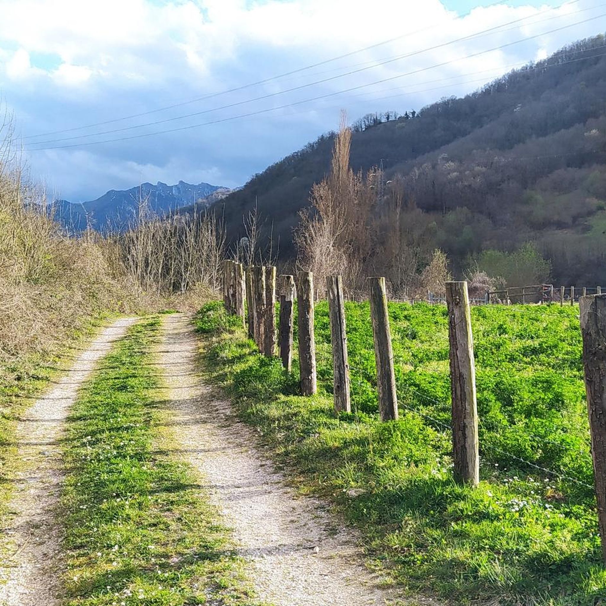
Cycling in Las Ubiñas-La Mesa
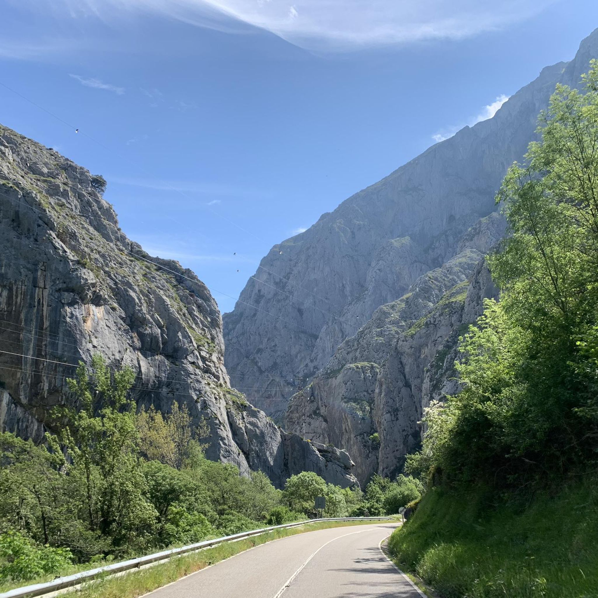
Cycling around Teverga
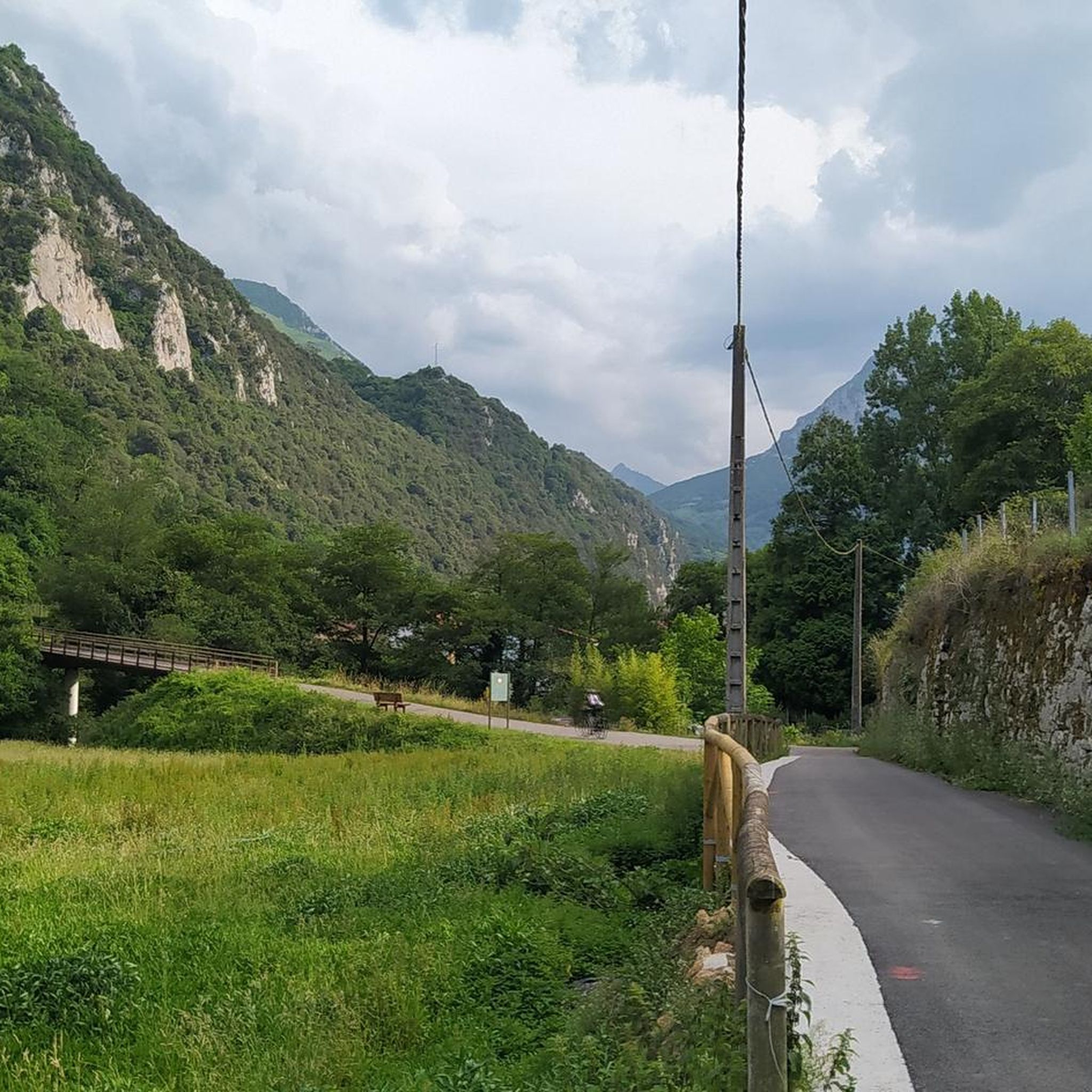
Cycling around Santo Adriano
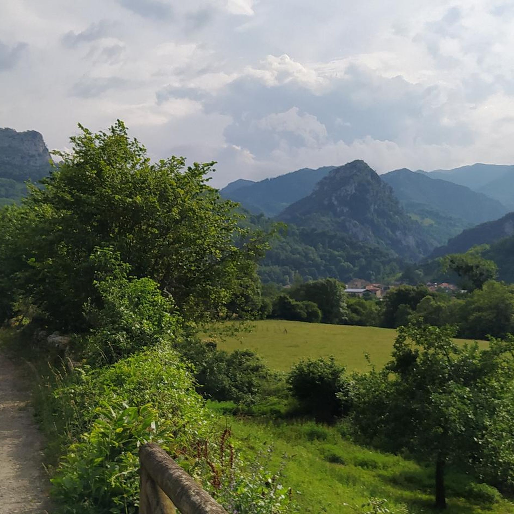
Cycling around Proaza
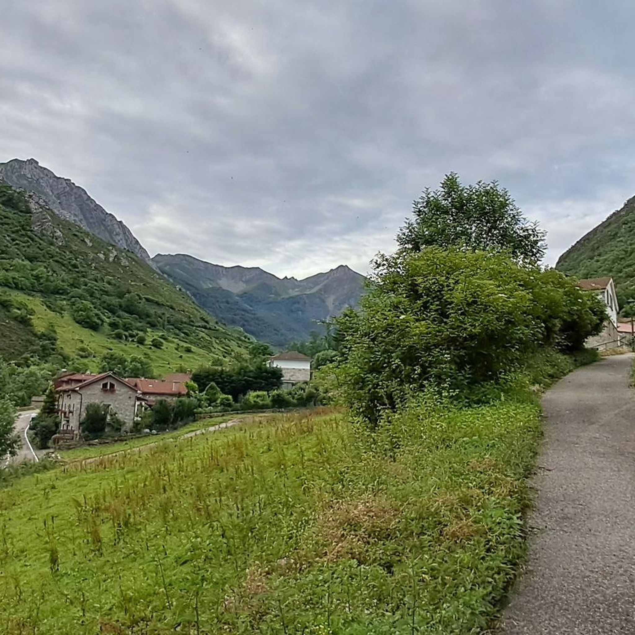
Cycling around National Park Somiedo
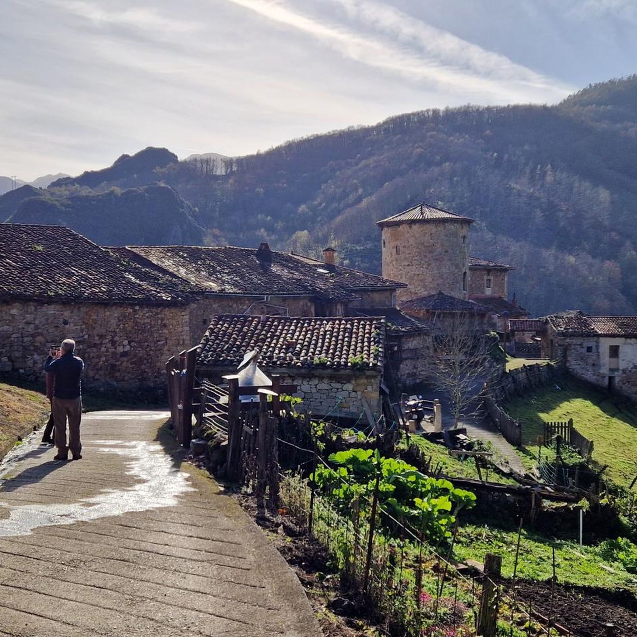
Cycling around Yernes Y Tameza
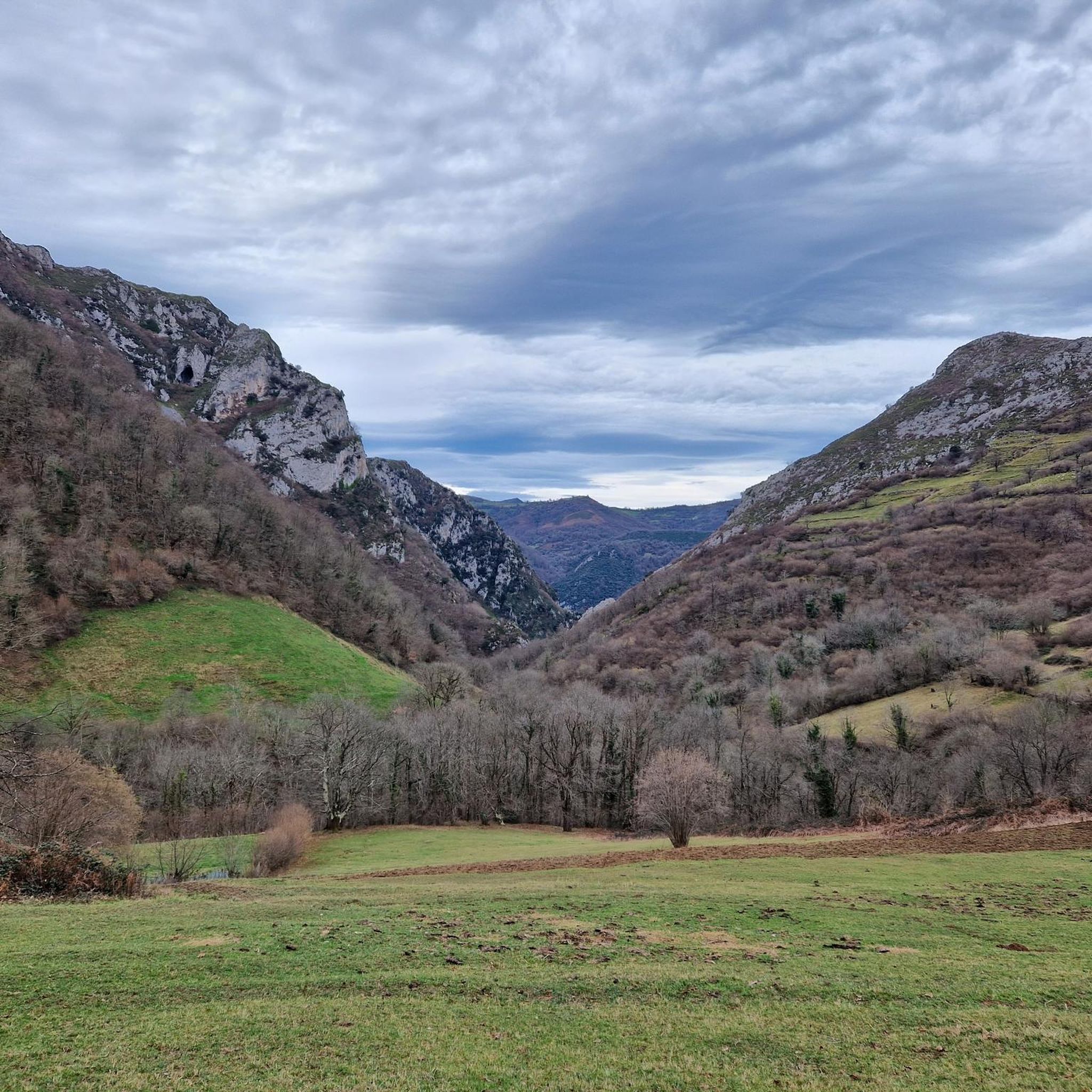
Cycling around Quirós
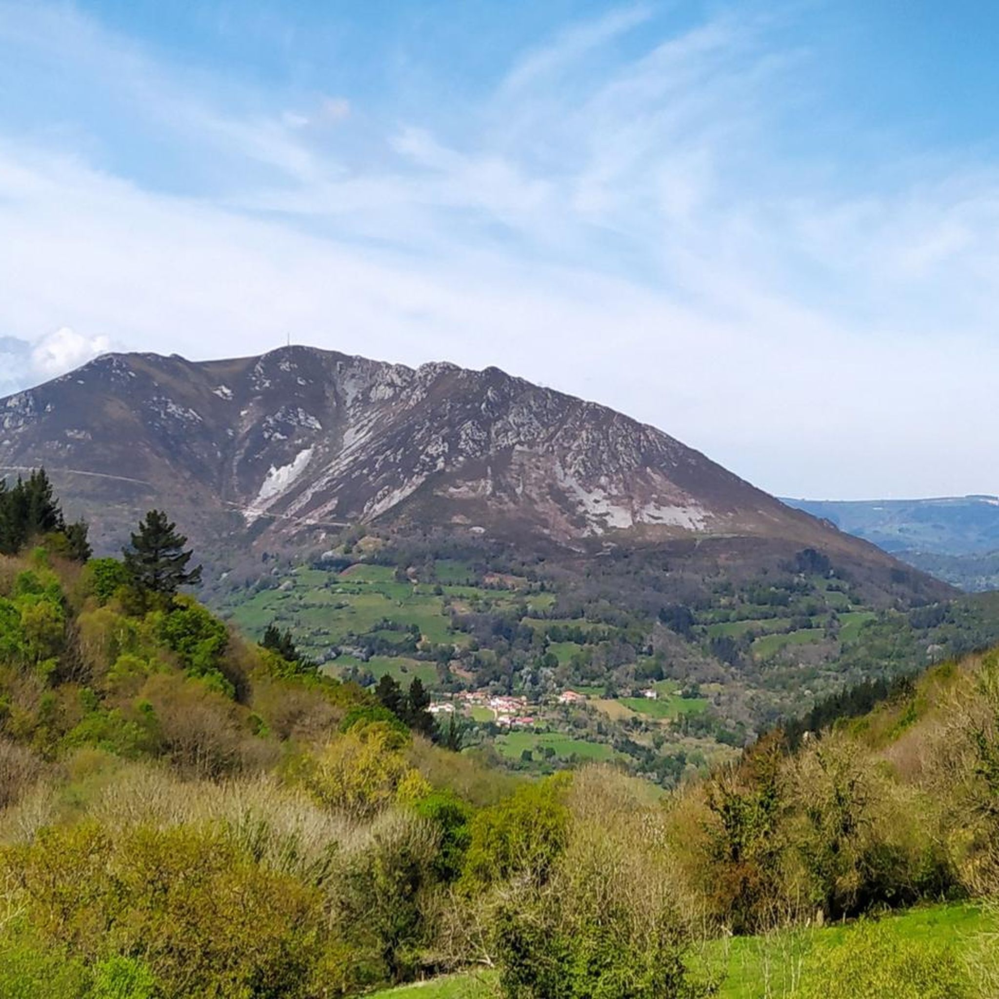
Cycling around Belmonte De Miranda
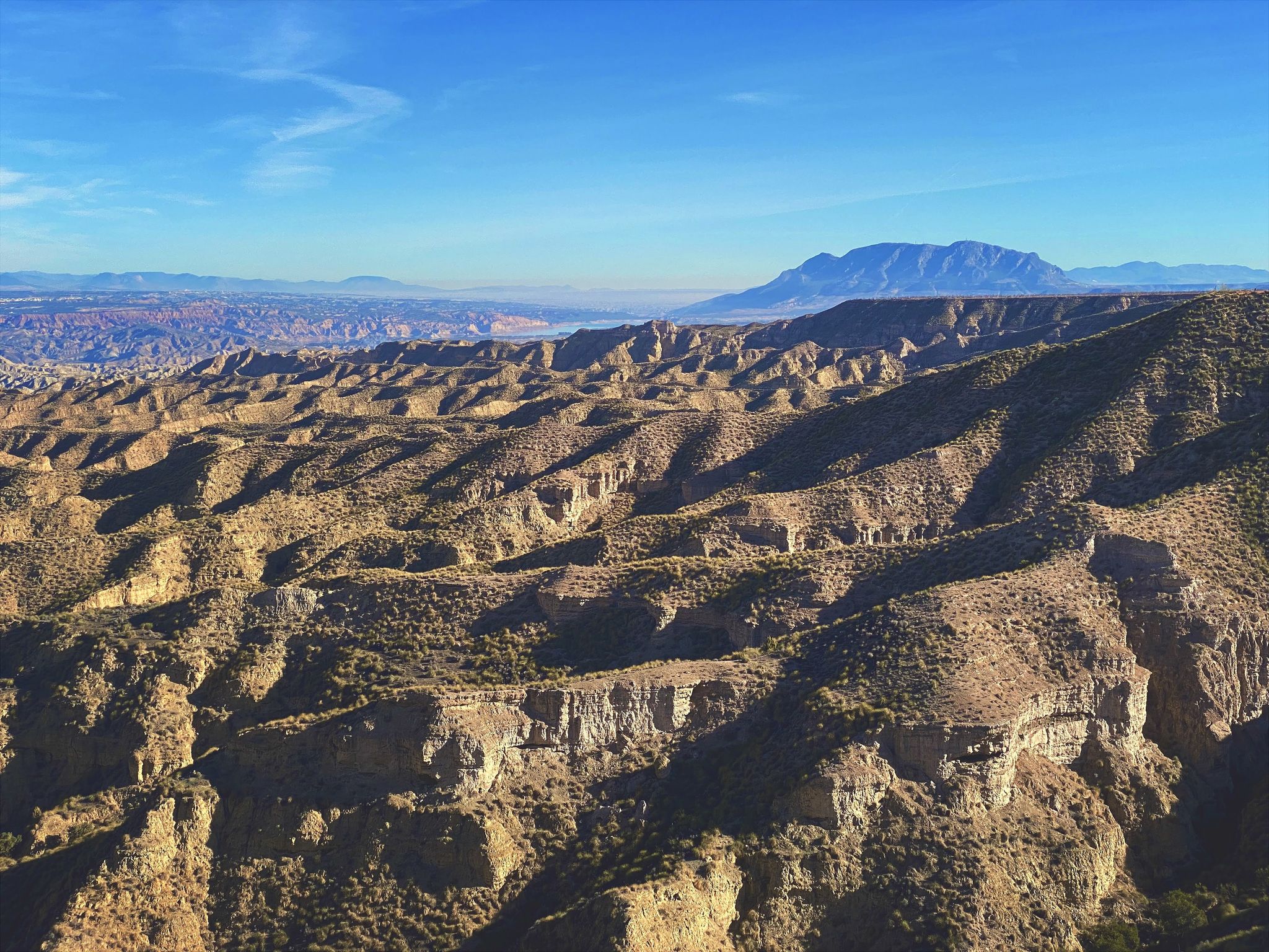
Discover Spain by gravel — a selection of must-see routes
Other adventures around Belmonte De Miranda


Tips from the Community

It's very interesting to take a look at
0
0
Very interesting to visit
0
0

The pass is now paved and can be driven on by car.
1
0

During the mining era, this pass served as a discreet link between mines on either side, and minimal traces of old cart and mule traffic remain, though they don't coincide with the current road. From above, the wind is almost constant, and the view towards the Saliencia lakes has that air of a "natural viewpoint" before the term even existed. It's perfect to mark on Komoot as a key point on your route due to its spaciousness, its somewhat hidden history, and its character as a natural border.
1
0


A port that you can grab from any of its sides
0
0

Do not lean on the railing; someone has already fallen and died because there are sections of rotten wood.
0
0

Pola de Lena is a town steeped in industrial history. It is strategically located at the entrance to Asturias via the highway from León and is an important commercial hub. It is also perfectly situated for starting cycling routes in the surrounding mountains.
0
0
Frequently Asked Questions
How many touring cycling routes are available around Belmonte De Miranda?
There are over 40 touring cycling routes in the Belmonte De Miranda area, offering a wide range of experiences for cyclists. These routes are highly rated by the komoot community, with an average score of 4.7 stars.
What is the general difficulty level of touring cycling routes in Belmonte De Miranda?
Most touring cycling routes around Belmonte De Miranda are considered difficult, with 38 out of 42 routes falling into this category. There are also 4 moderate routes, but no easy routes are listed. This indicates the terrain often involves significant elevation changes and challenging conditions, typical of the Cantabrian Mountains and Somiedo Natural Park.
Are there any family-friendly cycling options in the region?
Yes, the Senda del Oso (Bear's Path) is an excellent option for families. This 50-kilometer rail-trail is known for its accessibility, winding through lush forests and impressive gorges. It's designed to be accessible, with a gentle downward slope if starting from Entrago, and offers bike rental and transport services, making it ideal for a relaxed family outing.
What kind of natural features can I expect to see along the cycling routes?
The routes traverse diverse landscapes, including glacial lakes, dense forests of oaks, chestnuts, and beeches, and varied river valleys. You'll encounter mountain ranges like the Sierra de Arceyo and the foothills of the Sierra de Begega. The region is part of the Somiedo Natural Park, a UNESCO Biosphere Reserve, known for its rich flora and fauna, including wolves, brown bears, and roe deer. You can also explore traditional shepherd's huts known as 'brañas' with their unique 'teitos' (thatched roofs).
Are there any circular touring cycling routes available?
Yes, many routes in the area are circular. For example, the challenging Lagos de Saliencia — circular in the Parque Natural de Somiedo is a 44.7 km loop exploring glacial lakes. Another extensive circular option is Samartín, Puerto San Lorenzo, Alto de La Farrapona, Puerto de Ventana, Cueva Huerta — circular through the Parque Natural de Somiedo, which navigates multiple mountain passes.
What are some notable landmarks or points of interest along the cycling routes?
Cyclists can discover several interesting points. Within the Somiedo Natural Park, you might encounter traditional 'teitos' huts, such as the Teito of Braña La Corba or the El Veneiru Teito Hut. Natural monuments include the impressive Desfiladero de Peñas Juntas on the Senda del Oso, the Huerta Cave, and the scenic Lake of the Valley.
What is the best time of year to go touring cycling in Belmonte De Miranda?
The region's climate, typical of the Cantabrian Mountains, means that late spring, summer, and early autumn generally offer the most favorable conditions for cycling. During these months, the weather is usually milder and more stable, making the high-mountain environments and river valleys more accessible and enjoyable. Winter can bring snow and colder temperatures, especially at higher elevations.
Are there any routes that follow historical paths?
Yes, the region has a rich history reflected in its trails. Stage 19 of the GR-109 Nature Trail, connecting Belmonte/Balmonte to Bueinás, follows historical communication routes, including the Camín Francés, which was used in Roman times for gold transport and by 'vaqueiros de alzada' (transhumant herders). While primarily a hiking route, sections can be suitable for cycling.
What do other touring cyclists enjoy most about cycling in Belmonte De Miranda?
The area is highly rated by the komoot community, with an average score of 4.7 stars from over 90 reviews. Reviewers often praise the stunning natural landscapes, the challenging yet rewarding ascents, and the immersive experience within the protected Somiedo Natural Park. The variety of terrain, from river valleys to high mountain passes, is also frequently highlighted.
Is public transport available to access cycling routes in Belmonte De Miranda?
While specific public transport details for accessing individual trailheads are not readily available, Asturias generally offers some public transport options. For popular routes like the Senda del Oso, there are often dedicated services for bike rental and transport, which can help with logistics. It's advisable to check local transport schedules for the specific starting points of your chosen routes.
Are there any specific permits required for cycling in the Somiedo Natural Park?
Generally, cycling on marked trails and roads within natural parks like Somiedo does not require special permits for recreational use. However, it's always good practice to check the official regulations of the Somiedo Natural Park before your visit, especially if you plan to venture off established paths or participate in organized events, as rules can change.
Can I find places to eat or stay near the cycling routes?
Yes, the region offers various amenities. You can find traditional mountain inns like Casa Generosa Mountain Inn or restaurants such as La Posada de Proaza, which are often located near popular routes or within villages. For accommodation, Belmonte de Miranda and surrounding towns provide options ranging from rural guesthouses to hotels, catering to cyclists and other visitors.
Most popular routes around Belmonte De Miranda
Most popular attractions around Belmonte De Miranda

Get inspired with the komoot mobile app


Didn’t find what you were looking for?
Check out more Cycling routes throughout Belmonte De Miranda below and find the perfect route in your destination.
Explore more
Browse the best Cycling routes in other regions.
