The best running trails around Belmonte De Miranda
5.0
(5)
514
runners
21
runs
Jogging around Belmonte De Miranda offers a diverse natural environment in the western part of Asturias, Spain. The landscape is characterized by mountains, valleys, and rivers, with a significant portion of its southeastern area falling within Somiedo Natural Park. The municipality is traversed by the Pigüeña River basin, a tributary of the Narcea River, providing scenic river routes. This region features varied terrain, from ancient geological formations to extensive native forests, making it suitable for a range of running experiences.
…Last updated: May 10, 2026
5
runners
4.97km
00:46
120m
120m
Hard run. Good fitness required. Sure-footedness, sturdy shoes and alpine experience required.
1
runners
8.05km
01:05
350m
350m
Jog the difficult 5.0-mile Medieval Route of Alesga Castle Loop, gaining 1164 feet in 1 hour 4 minutes through historic ruins and scenic val

Sign up for free
16.7km
02:30
770m
770m
Hard run. Very good fitness required. Sure-footedness, sturdy shoes and alpine experience required.
3.29km
00:23
40m
40m
Enjoy an easy 2.0-mile (3.3 km) circular jogging route around Embalse de Valdemurio, offering scenic views of the reservoir and mountains.
79
runners
40.9km
06:16
2,020m
2,020m
Hard run. Very good fitness required. Sure-footedness, sturdy shoes and alpine experience required.
46
runners
9.28km
01:21
470m
470m
Hard run. Very good fitness required. Mostly paved surfaces. Suitable for all skill levels.
35
runners
30.0km
04:27
1,480m
1,480m
Hard run. Very good fitness required. Sure-footedness, sturdy shoes and alpine experience required.
33
runners
30.1km
03:55
620m
620m
Hard run. Very good fitness required. Sure-footedness, sturdy shoes and alpine experience required.
5.0
(1)
30
runners
Hard run. Good fitness required. Sure-footedness, sturdy shoes and alpine experience required.
18
runners
24.4km
03:12
830m
830m
Hard run. Very good fitness required. Sure-footedness, sturdy shoes and alpine experience required.
Get access to more routes and recommendations from other explorers.
Sign up for free
Already have an account?
Our route recommendations are based on thousands of hikes, rides, and runs completed by other people on komoot.
Start today with a free account
Your next adventure awaits.
Login or Signup
Popular around Belmonte De Miranda
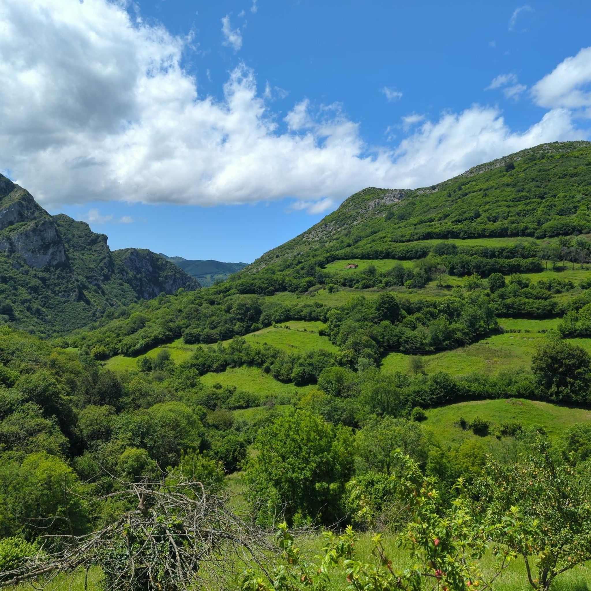
Running Trails around Quirós
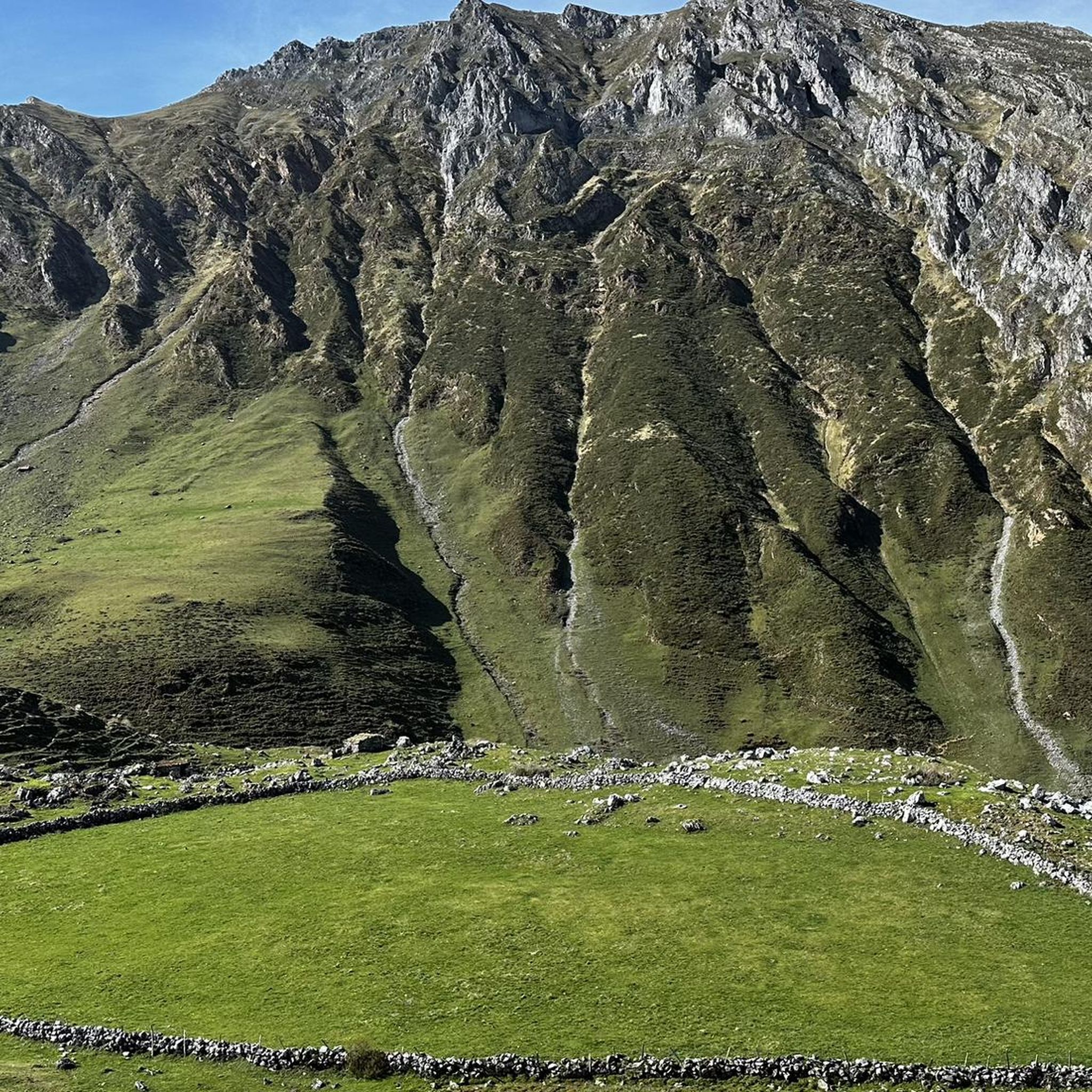
Running Trails in Las Ubiñas-La Mesa
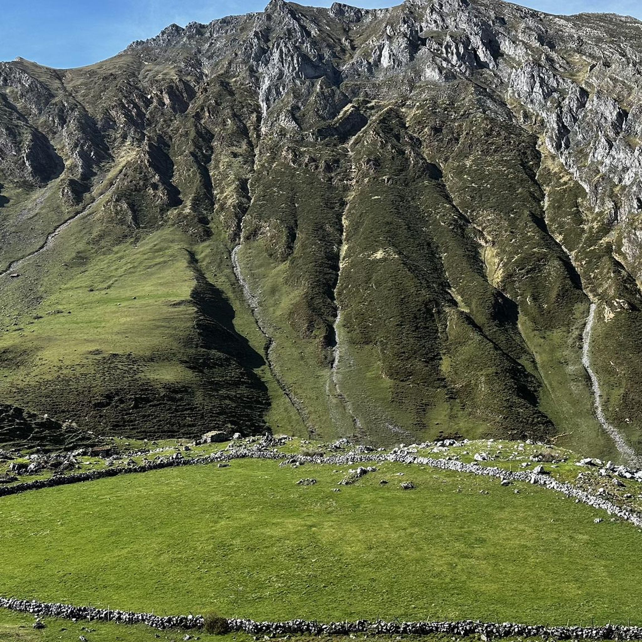
Running Trails around National Park Ubiñas-La Mesa
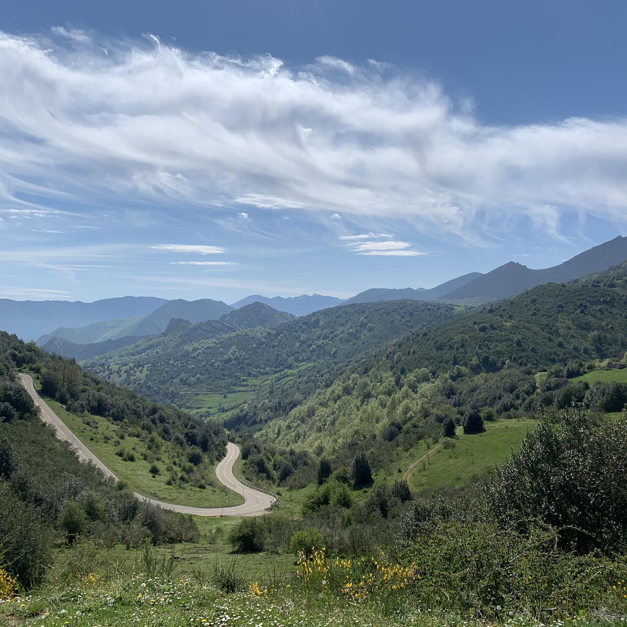
Running Trails around Teverga
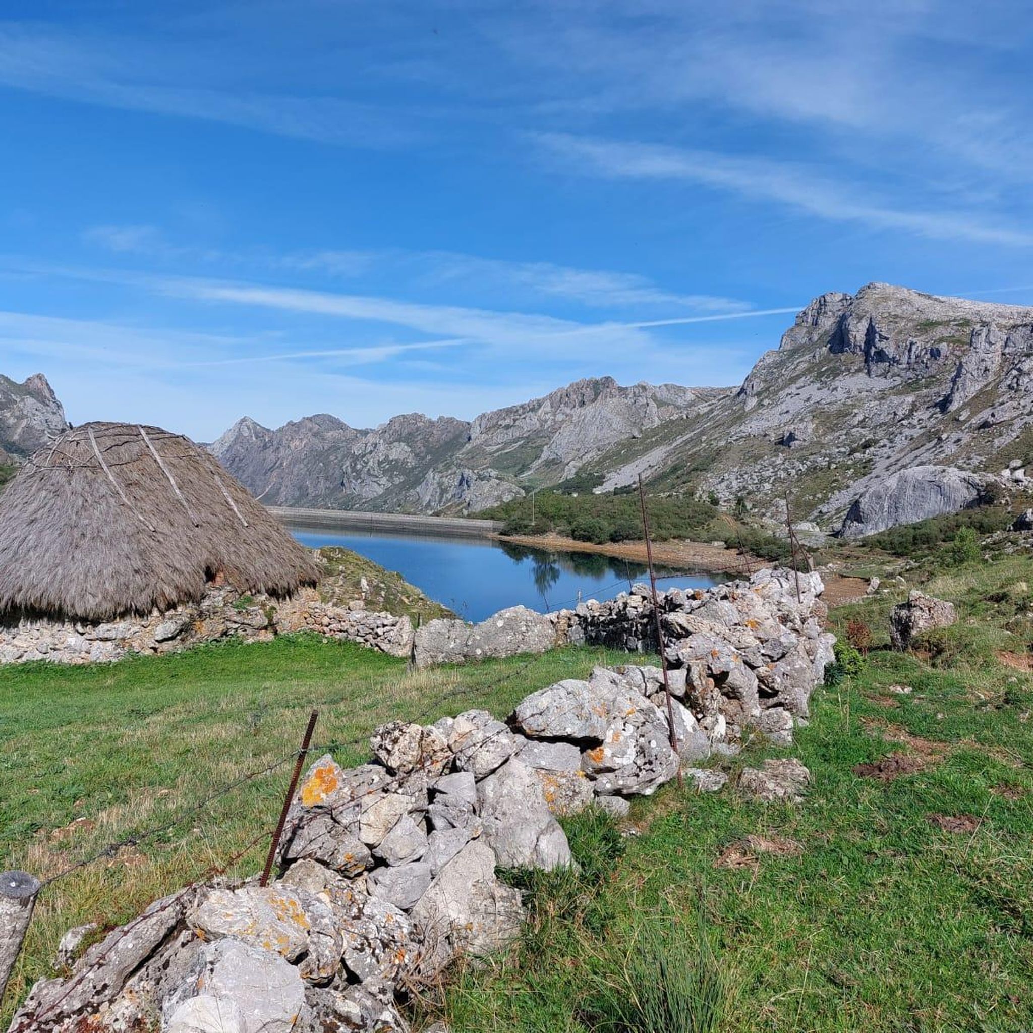
Running Trails around National Park Somiedo
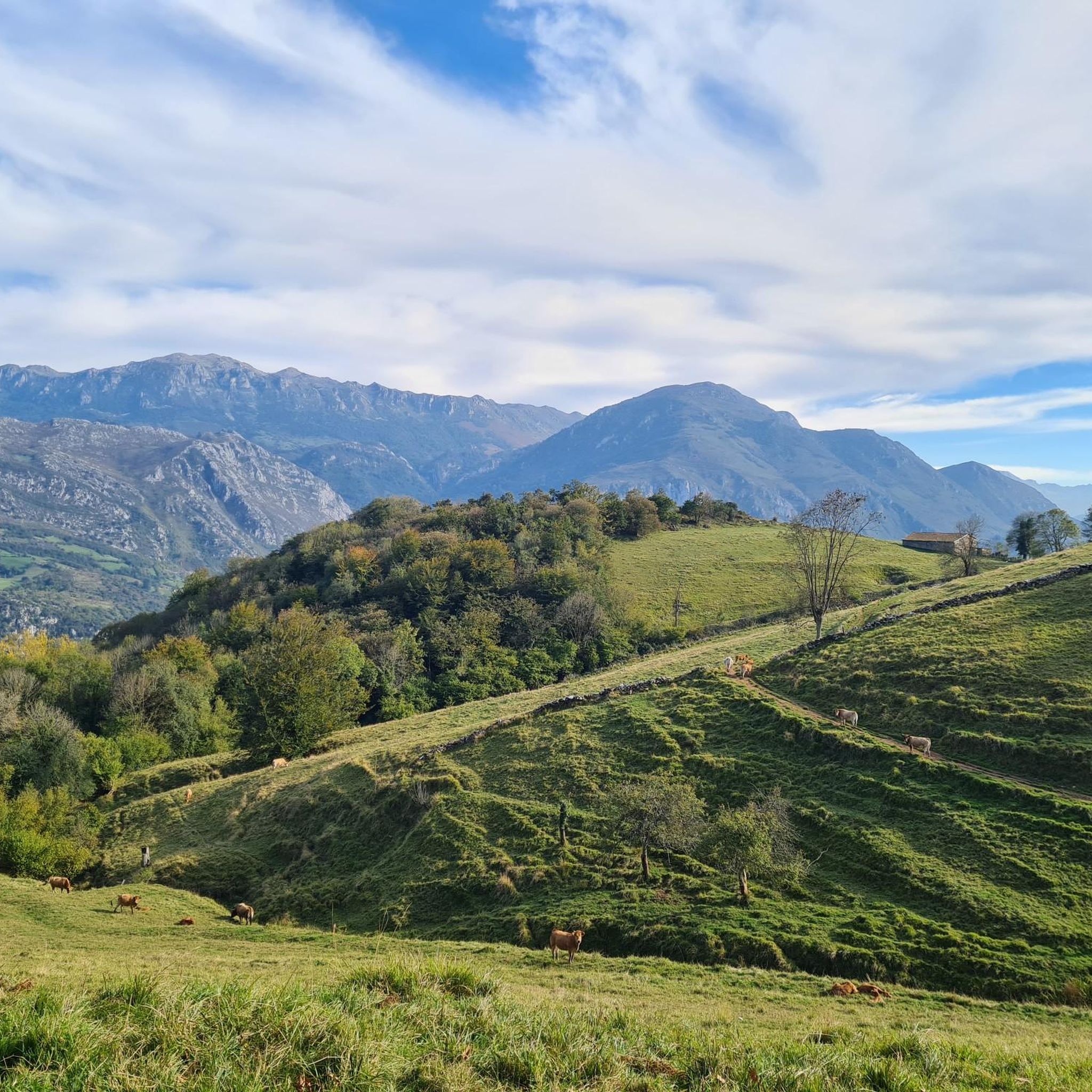
Running Trails around Proaza
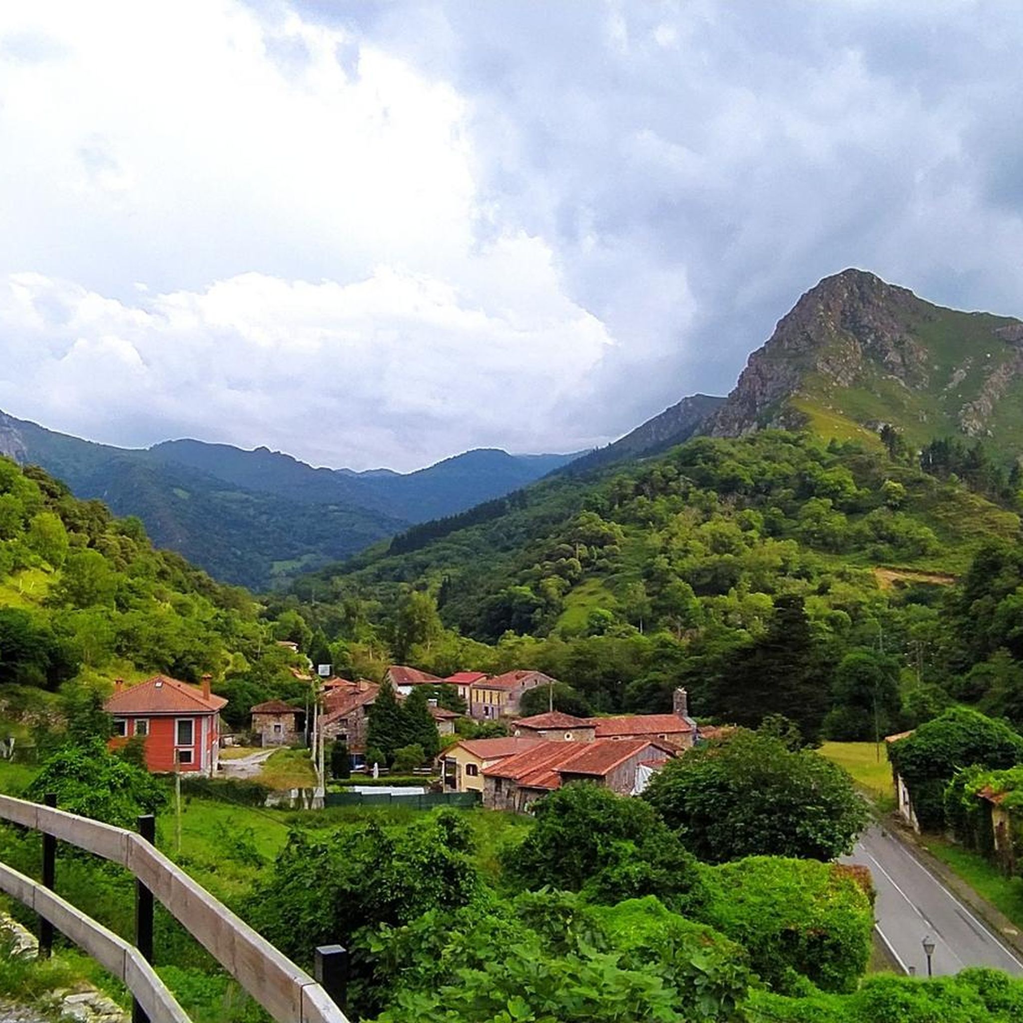
Running Trails around Yernes Y Tameza
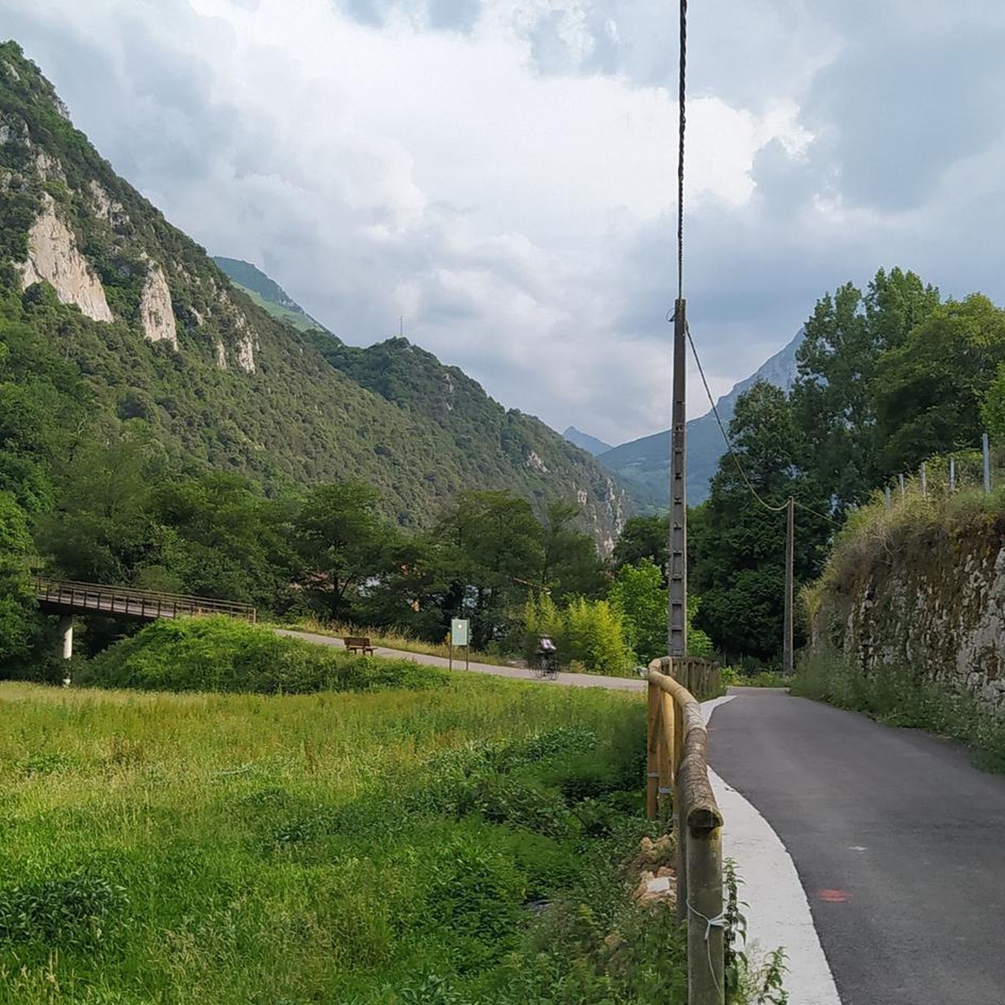
Running Trails around Santo Adriano
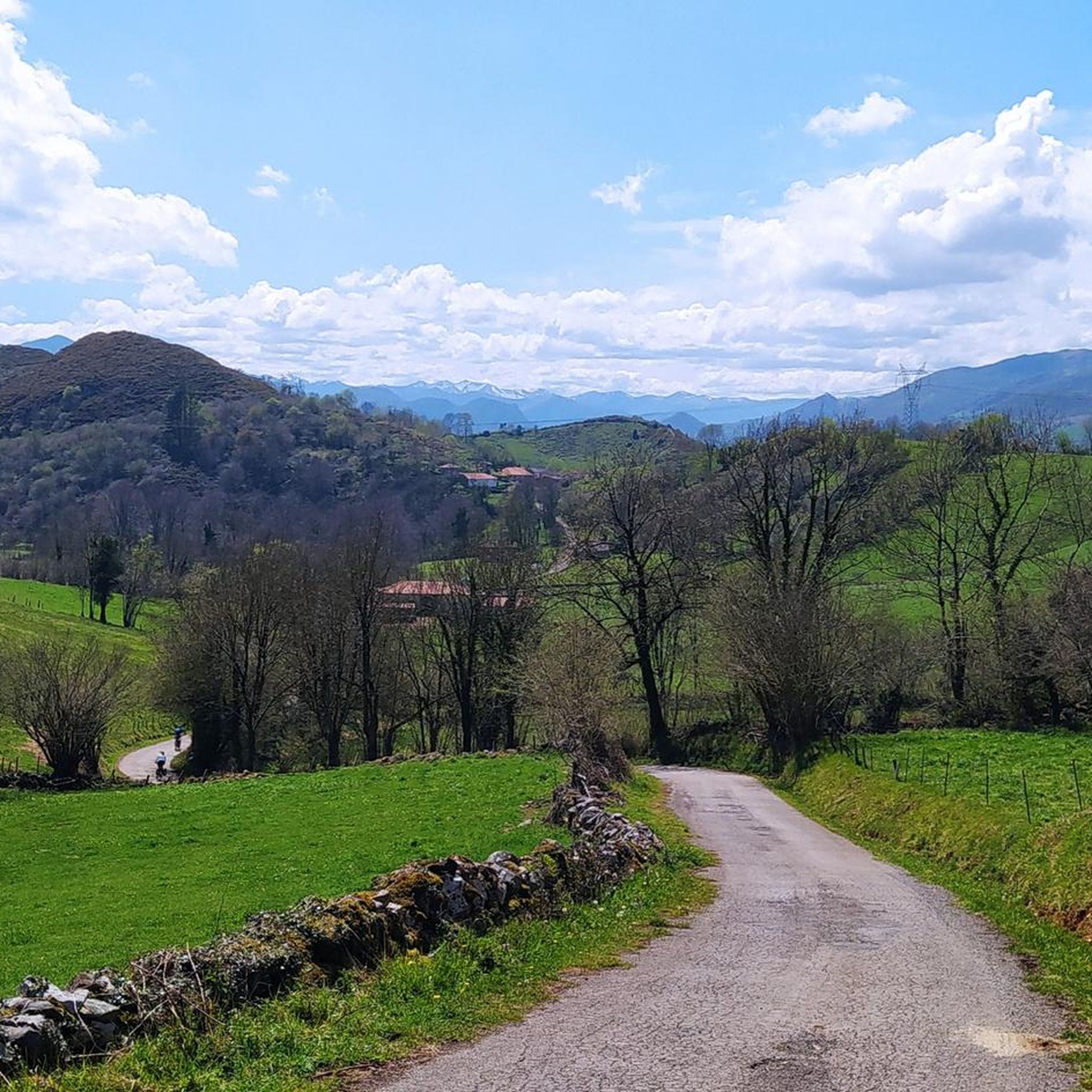
Running Trails around Belmonte De Miranda
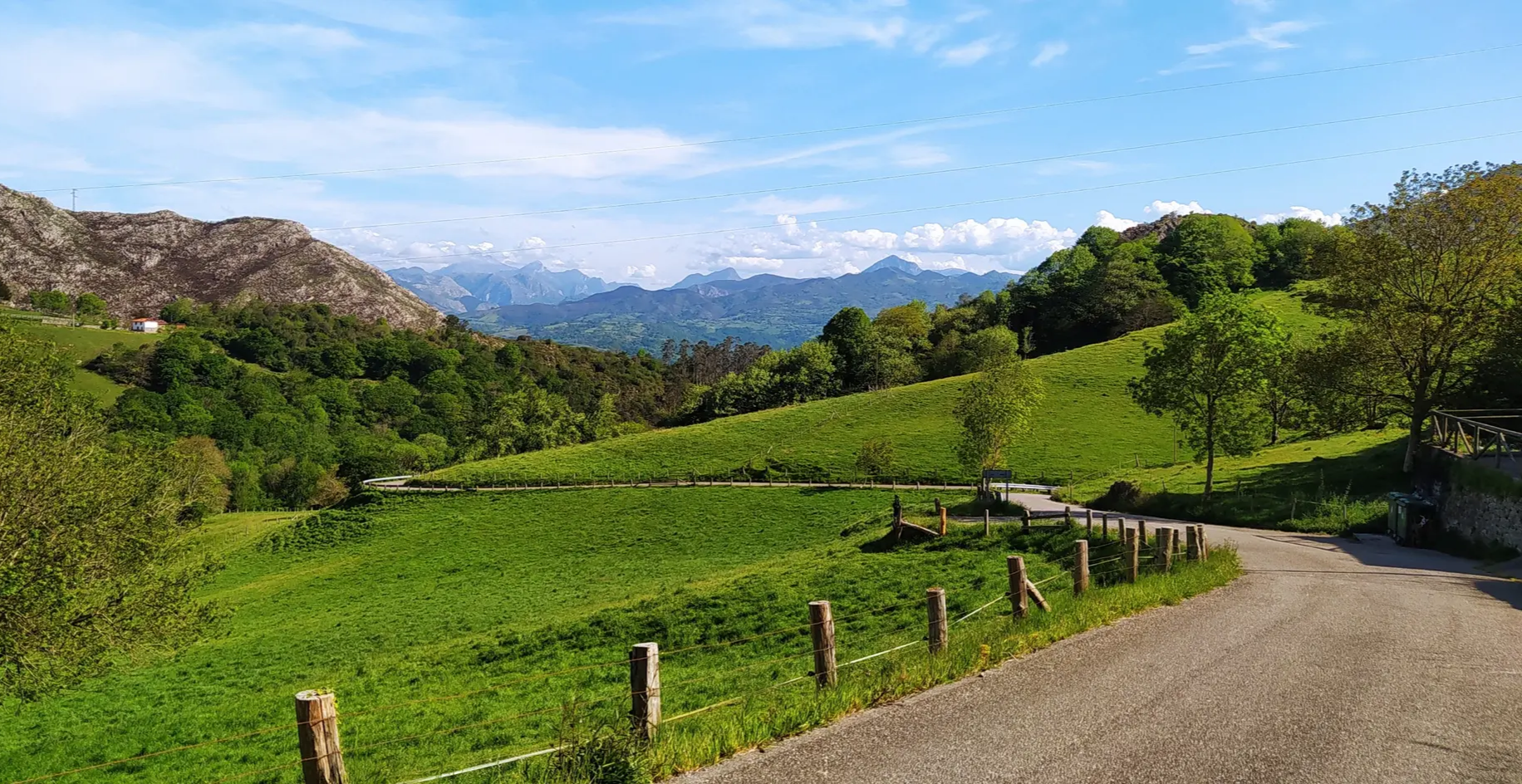
Great mountain passes of Picos de Europa on road bikes
Other adventures around Belmonte De Miranda


Tips from the Community

The pass is now paved and can be driven on by car.
1
0

During the mining era, this pass served as a discreet link between mines on either side, and minimal traces of old cart and mule traffic remain, though they don't coincide with the current road. From above, the wind is almost constant, and the view towards the Saliencia lakes has that air of a "natural viewpoint" before the term even existed. It's perfect to mark on Komoot as a key point on your route due to its spaciousness, its somewhat hidden history, and its character as a natural border.
1
0
A glacial lake nestled between limestone walls, with a little-known detail: beneath the surrounding meadow, remnants of the old road used to transport materials for the region's former water network are still visible—a nearly erased trace that lends the place a dual character, both natural and industrious. The lake changes dramatically with the light: on cloudy days it appears opaque and heavy, but in sunlight it displays an intense green that reveals its depth and rocky bottom. It's a good spot to pause and appreciate the contrast between the wild landscape and the barely visible but still present vestiges of human activity.
1
0

From this point you can enjoy a beautiful view of Pedroveya from Dosango
2
0

Puerto de Ventana is a mountain pass located in the Cantabrian Mountains, between the Principality of Asturias and the province of León. It lies at an altitude of 1,587 meters and connects the municipality of San Emiliano in León with the Asturian municipality of Teverga. From the pass, you can enjoy a breathtaking view of the San Emiliano Valley, known as Babia de Yuso.
2
0
The Teverga Gorges are an impressive part of the Senda del Oso, a very popular hiking and cycling route in Asturias. This trail follows the route of an old mining railway and crosses the Valles del Oso, which include the municipalities of Quirós, Santo Adriano, Proaza and Teverga.
2
0
The Bear Trail Tunnel, also known as the Valdecerezales Gorge, is one of the highlights of the Bear Trail in Asturias. This tunnel runs through an impressive gorge, offering a unique experience for hikers and cyclists who follow the route.
2
1
The Valdemurio Reservoir Footbridge is a structure that allows visitors to enjoy panoramic views of the reservoir and its natural surroundings. This footbridge is part of the Senda del Oso, a very popular hiking and cycling route in Asturias.
2
0
Frequently Asked Questions
How many running routes are available in Belmonte de Miranda?
Belmonte de Miranda offers a diverse selection of over 20 running routes, catering to various preferences and fitness levels. These routes traverse the region's mountains, valleys, and rivers, providing a rich outdoor experience.
Are there any easy or beginner-friendly jogging routes in the area?
Yes, while many routes are challenging, there are options suitable for beginners. For instance, the Valdemurio Reservoir Bear's Path Loop is an easy 3.3 km route that offers a pleasant run without significant elevation changes.
What kind of natural features or landmarks can I expect to see while running in Belmonte de Miranda?
Jogging in Belmonte de Miranda allows you to experience stunning natural beauty. You might encounter features like the dramatic Desfiladero de Peñas Juntas, the serene Lake of the Valley, or the historic Ventana Pass. The region is characterized by its mountainous terrain, river basins, and extensive native forests, with a significant portion within Somiedo Natural Park.
Are there any circular running routes in Belmonte de Miranda?
Yes, the region features several excellent circular routes. Beyond those mentioned in the guide's introduction, you could explore the challenging Lake of the Valley – El Veneiru Teito Hut loop from Rio del Valle, which is a substantial 40.9 km loop, or the Pola de Somiedo – Braña de Mumián loop from Somiedo, covering 30 km through varied landscapes.
Can I run with my dog on the trails in Belmonte de Miranda?
Belmonte de Miranda's natural environment is generally welcoming for dogs, but it's crucial to check specific trail regulations, especially within protected areas like Somiedo Natural Park, where wildlife conservation is a priority. Always keep your dog on a leash and ensure they are well-behaved to protect the local fauna, which includes species like brown bears, wolves, and roe deer.
What is the best time of year for running in Belmonte de Miranda?
The best time for running in Belmonte de Miranda is typically during spring and autumn. These seasons offer milder temperatures and vibrant natural scenery, making for more comfortable and picturesque runs. Summer can also be pleasant, especially in the mornings or late afternoons, but be prepared for warmer conditions. Winter runs are possible but may require appropriate gear due to colder temperatures and potential snow in higher elevations.
Are there any running routes that follow rivers or offer waterside views?
Absolutely. The municipality is traversed by the Pigüeña River basin, a tributary of the Narcea River. The 'Ruta Salmones Arriba' (P.R. AS-138), for example, follows the course of the Pigüeña River, allowing runners to enjoy the natural beauty and sounds of the riverbed. Many routes will offer glimpses or stretches along these significant waterways.
What makes the running experience in Belmonte de Miranda unique?
The running experience in Belmonte de Miranda is unique due to its blend of rugged mountainous terrain, ancient geological formations, and rich biodiversity within the Somiedo Natural Park. Runners can explore historic paths like sections of the Camín Real de la Mesa, encounter traditional 'Brañas Vaqueiras' (seasonal pastures), and enjoy the tranquility of extensive native forests, often accompanied by the murmur of rivers.
What do other runners say about the trails in Belmonte de Miranda?
The running routes in Belmonte de Miranda are highly rated by the komoot community, holding an average score of 5.0 stars from over 5 reviews. More than 500 runners have explored the varied terrain, often praising the stunning natural landscapes, the tranquility of the environment, and the diverse challenges offered by the trails.
Are there any long-distance running options for experienced runners?
Yes, experienced runners will find several challenging long-distance options. For example, the Foz de los Pícaros – Peñas Juntas Gorge loop from Proaza is a demanding 30.3 km route, and the El Curuxéu Thatched Cottage – Lake of the Valley loop from Rio del Valle spans 24.4 km, both offering significant elevation gains and immersive experiences in the Asturian wilderness.
Are there any routes that offer panoramic views or viewpoints?
Many routes in Belmonte de Miranda provide breathtaking panoramic views. The region's mountainous folds, part of the Somiedo Fold and Thrust Region, naturally create numerous vantage points. Locations like Alto Carricéu and Alto El Mouro are known for their stunning natural viewpoints, offering rewarding stops during a run. Trails within Somiedo Natural Park, such as the Saliencia Lakes Loop, also provide expansive vistas of glacial lakes and the surrounding peaks.
Most popular routes around Belmonte De Miranda
Most popular attractions around Belmonte De Miranda

Get inspired with the komoot mobile app


Didn’t find what you were looking for?
Check out more Running Trails & Routes throughout Belmonte De Miranda below and find the perfect route in your destination.
Explore more
Browse the best Running Trails & Routes in other regions.
