The best walks and hikes in the Cambrian Mountains
4.5
(28813)
259,195
hikers
5,307
hikes
Hikes in the Cambrian Mountains explore a sparsely populated region of rolling hills and open moorland in the heart of Wales. The landscape is characterized by its sense of wildness, with expansive plateaus and the sources of major rivers like the Severn and the Wye. The area offers a network of trails through a landscape that is often less crowded than the nearby national parks.
Best hiking trails in the Cambrian Mountains
- The most popular hiking route is Pyg Track & Miners Track loop to Yr Wyddfa / Snowdon from Pen y Pass — Parc Cenedlaethol Eryri / Snowdonia National Park, a 7.6 mile (12.3 km) trail that takes about 4 hours 56 minutes to complete. This is a classic mountain ascent with well-defined paths.
- Another top favourite among local hiking enthusiasts is Corn Du & Pen y Fan loop from Storey Arms — Bannau Brycheiniog / Brecon Beacons National Park, a moderate 4.7 mile (7.6 km) path. The route involves a significant ascent over open terrain to reach two prominent peaks.
- Local hiking enthusiasts also love the Ystradfellte Four Waterfalls Walk from Cwm Porth —Bannau Brycheiniog / Brecon Beacons National Park, a 4.5 mile (7.3 km) trail leading through wooded river valleys, often completed in about 2 hours.
- Hiking in the Cambrian Mountains is defined by expansive moorlands, quiet river valleys, and rolling hills. The extensive network of footpaths provides options for various fitness levels, from gentle riverside strolls to more demanding upland hikes.
- The routes in Cambrian Mountains are highly rated by the komoot community with an average score of 4.5 stars from over 25,000 reviews. More than 240,000 hikers have used komoot to explore Cambrian Mountains's varied terrain.
Last updated: June 24, 2026
4.8
(891)
9,155
hikers
12.3km
04:56
680m
690m
Embark on the Snowdon via Pyg and Miners' Track Loop, a moderate hiking route that takes you to the summit of Yr Wyddfa. This 7.7 miles (12.3 km) journey involves a significant ascent of 2245 feet (684 metres), typically completed in about 4 hours and 56 minutes. As you climb the Pyg Track, you'll experience dramatic mountain scenery, with views opening up towards Llanberis Pass and the imposing cliffs of Y Lliwedd. The return via the Miners' Track offers a different perspective, tracing the shores of Llyn Llydaw and Llyn Glaslyn, providing a varied and engaging experience.
Your adventure begins at Pen-y-Pass, a high starting point that helps reduce the overall vertical climb to Snowdon's summit. Be aware that parking here is very limited and often requires advance booking, particularly during busy periods. It's highly recommended to explore public transport options to reach the trailhead, ensuring a smoother start to your hike. Both the Pyg and Miners' Tracks are rated as strenuous by the National Park Authority, so come prepared with a good level of fitness and essential navigation skills for a safe and enjoyable outing.
This popular circular trail offers more than just a summit experience; it's a journey through the rich history of Eryri / Snowdonia National Park. The Miners' Track, in particular, follows the historic routes once used by quarrymen, passing old mining structures and a notable stone causeway across Llyn Llydaw. This blend of natural beauty and industrial heritage makes the route a distinctive way to explore Snowdon's majestic landscape.
4.8
(539)
4,873
hikers
7.56km
02:44
450m
460m
Embark on the Pen y Fan and Corn Du Circular Walk, a moderate hike that takes you through the heart of Bannau Brycheiniog National Park. As you ascend, you will experience well-trodden upland footpaths that give way to uneven surfaces and steep steps near the summits. This 4.7-mile (7.6 km) route, with an elevation gain of 1491 feet (454 metres), offers a true mountain experience, typically completed in about 2 hours and 43 minutes, surrounded by grassy hills and heather.
Before you set out, remember that weather conditions on these peaks can change quickly; always check the forecast and pack waterproof clothing, a map, and a compass. You can find parking for the Pen y Fan circular walk at the popular Pont ar Daf car park, which serves as a convenient starting point. Be aware that a section of the route might be closed for forestry work between December 2025 and March 2026, so plan your visit accordingly.
This trail is renowned for its spectacular panoramic views from the Pen y Fan and Corn Du summits. On a clear day, you can see far-reaching vistas that include the Black Mountains, the Bristol Channel, and even the distant Cambrian Mountains. The route provides a fantastic opportunity to immerse yourself in the rugged beauty and expansive landscapes that define this iconic Welsh national park.

Sign up for free
4.7
(399)
3,068
hikers
Embark on the Ystradfellte Four Waterfalls Walk from Cwm Porth, an easy 4.5-mile (7.3 km) hike through the Bannau Brycheiniog / Brecon Beacons National Park. This route, which takes around 1 hour and 59 minutes to complete, guides you through ancient woodlands, rolling fields, and serene riverside paths, offering 394 feet (120 metres) of elevation gain. You will discover four impressive waterfalls, including the iconic Sgwd yr Eira, where you can walk behind the curtain of water. Expect diverse terrain with some muddy and rocky sections, especially near the waterfalls, which add to the adventure.
To begin your journey, head to the Cwm Porth car park, a popular starting point that often provides facilities like toilets. It is wise to arrive early, particularly during peak seasons, as parking spaces can fill up quickly. While the overall trail is rated easy, be prepared for some steep descents and ascents on uneven steps when approaching the waterfalls directly. Sturdy, grippy walking boots are highly recommended for navigating these sections safely, especially after rain.
This trail is a highlight of "Waterfall Country," an area known for having one of the highest concentrations of waterfalls in Wales. Beyond the four main cascades, you will encounter lush woodlands, hidden plunge pools, and smaller cascades, creating a tranquil atmosphere. For the adventurous, there are opportunities for wild swimming in some of the plunge pools along the route, adding a unique element to your hiking experience.
4.9
(415)
3,231
hikers
10.5km
05:09
850m
850m
The Cadair Idris loop on the Minffordd path offers a challenging hike, covering 6.5 miles (10.5 km) with a significant elevation gain of 2776 feet (846 metres). You can expect to spend around 5 hours and 8 minutes on this difficult route. It begins with a steep climb through the wooded gorge of Nant Cadair, where you will see impressive waterfalls. The path then opens up, circling the dramatic glacial lake of Llyn Cau, nestled beneath towering cliffs. As you ascend towards the summit, Penygadair, you'll get glimpses of the peak and eventually be rewarded with panoramic views across southern Snowdonia and the coast.
This difficult route requires a good level of fitness due to its consistent steepness. While the path is generally easy to follow, some sections are very steep and can be tricky, with loose rocks underfoot. Be prepared for a demanding hike, and note that navigation skills are essential for certain parts of the trail. Always check local conditions before you go.
The Minffordd path is celebrated as one of the most picturesque routes up Cadair Idris, offering diverse landscapes from ancient woodlands to expansive mountain vistas. Cadair Idris, meaning "Idris's Chair," is steeped in Welsh mythology; legends say anyone spending a night on the peak will wake up a poet or a "madman." This trail also provides a less crowded experience compared to other peaks in northern Snowdonia, making its challenging ascent even more rewarding.
4.8
(323)
1,901
hikers
Embark on a challenging 15.5-mile (25.0 km) hike through the Bannau Brycheiniog (Brecon Beacons) National Park, tackling the iconic peaks of Pen y Fan, Cribyn, and Fan y Big. This difficult route involves a significant 3658 feet (1115 metres) of elevation gain, with rocky paths and multiple steep climbs and descents, including the famous "Jacob's Ladder." You will experience dramatic panoramic views from the summits, especially from Cribyn, looking out towards Pen y Fan's steep eastern flank and the distant Bristol Channel on clear days. The distinctive "diving board" at Fan y Big offers a memorable photo opportunity.
This loop typically takes around 8 hours and 16 minutes to complete, requiring very good fitness and sure-footedness. The trail starts from Storey Arms, a well-known access point for the central Brecon Beacons. Be prepared for varied terrain that can be muddy after rain, and ensure you wear sturdy shoes. While the main path to Pen y Fan can be busy, extending your hike to include Cribyn and Fan y Big often provides a less crowded experience on these sections.
The Pen y Fan, Cribyn & Fan y Big loop is a classic component of the
4.8
(294)
1,845
hikers
The Pen y Fan Horseshoe Ridge offers a challenging and rewarding hike through Bannau Brycheiniog National Park. This classic circular route covers 11.5 miles (18.5 km) with a significant elevation gain of 2370 feet (722 metres), typically taking around 5 hours and 55 minutes to complete. You will traverse well-worn mountain trails, rocky sections, and grassy ridges, encountering numerous steep ascents and descents, including pitched stone staircases. From the summits of Corn Du, Pen y Fan, and Cribyn, you can enjoy magnificent 360-degree views across the Brecon Beacons and towards the Neuadd Reservoirs below.
Rated as difficult, this route demands good fitness and sturdy footwear. The trail can be a mixture of mud, rock, and stony paths, with some sections becoming boggy, especially in winter. The ridge sections are exposed, so be prepared for rapidly changing mountain weather and potential wind. Starting your hike early is often recommended to secure parking and experience quieter sections of this popular trail.
This route is celebrated as one of the best ridge walks in southern Britain, forming a distinctive U-shape around the Taf Fechan glacial valley. It includes Pen y Fan, the highest mountain in South Wales, along with Corn Du and Cribyn, all featuring Bronze Age burial cairns. The challenging conditions and varied terrain also make it a famous training ground, notably used by UK Special Forces for their selection process.
4.7
(182)
2,680
hikers
Embark on the Ystradfellte Four Waterfalls main route from Gwaun Hepste, a moderate hike spanning 4.9 miles (8.0 km) with an elevation gain of 611 feet (186 metres), typically taking 2 hours and 16 minutes to complete. This circular trail immerses you in picturesque woodlands and ancient oak forests, following the banks of rivers like the Mellte and Hepste. While the main path is generally wide and stone-surfaced, the optional descents to the waterfalls are considerably more challenging, involving steep steps and potentially slippery, muddy terrain. You will discover a serene riverside setting with moss-covered rocks, leading to the highlight of Sgwd yr Eira, where you can walk directly behind the curtain of falling water.
Planning your visit requires good fitness and sure-footedness, especially if you intend to explore the paths leading directly to the waterfalls. These sections feature narrow, unsurfaced, and steep descents, numerous steps, and loose ground, sometimes requiring rock scrambling. Be aware that the humidity in the gorge can make paths persistently muddy and extremely slippery, particularly after rain, with limestone rocks near the water becoming slick. Proper walking boots are essential for navigating this varied and sometimes demanding terrain, ensuring a safer and more enjoyable experience.
This route is renowned for its four spectacular waterfalls: Sgwd Clun-Gwyn, Sgwd Isaf Clun-Gwyn, Sgwd y Pannwr, and the famous Sgwd yr Eira. Each waterfall offers a distinct perspective and awe-inspiring cascades, showcasing the wild character of Waterfall Country within the Brecon Beacons National Park, now known as Bannau Brycheiniog. The descent to Sgwd yr Eira, involving around 170 steep steps, is particularly taxing but offers a truly unique and memorable experience, making the effort well worthwhile for its natural beauty.
4.9
(254)
1,506
hikers
Embark on the Waun Fach loop via the Dragon's Back for a memorable hike through the Bannau Brycheiniog / Brecon Beacons National Park. This moderate route covers 6.7 miles (10.8 km) with a significant elevation gain of 1815 feet (553 metres), typically taking around 3 hours and 41 minutes to complete. You will traverse rugged landscapes, including gravel paths, worn tracks, and grassy ridgelines, leading you to the distinctive Dragon's Back with its humps and bluffs. As you ascend towards Waun Fach, the terrain shifts to moorland, which can be boggy after rain, but rewards you with expansive 360-degree panoramic views that stretch across southern Wales and even include Pen y Fan in the distance.
To plan your visit, the trail commonly starts from the village of Pengenffordd. Many hikers utilize the car park located at the Dinas Castle Inn, which provides convenient access to the trailhead. You have the option to tackle the Dragon's Back either on your ascent or descent; some prefer to reach Waun Fach first via a track in a side valley for a gentler climb, then descend the exciting
4.9
(151)
1,520
hikers
Embark on a difficult 8.2-mile (13.3 km) loop up Snowdon via the Watkin Path, starting from Nant Gwynant. This route offers a significant challenge with 3212 feet (979 metres) of elevation gain, typically taking around 5 hours and 21 minutes to complete. You will begin by winding through ancient woodlands and past the Rhaeadrau Waterfalls, before the path opens up to reveal impressive mountain views and eventually leads to a tough uphill scree climb towards the summit, offering vistas of Snowdon's South Ridge and Yr Aran.
Planning your hike requires good fitness, sturdy shoes, and sure-footedness, especially for the upper sections where the terrain becomes loose, rocky, and very steep. The path starts at a low elevation, giving it the greatest total ascent of all Snowdon routes. In winter, this challenging part demands extreme care and appropriate equipment like micro-spikes or crampons, as the path can lose definition and navigation becomes difficult in poor weather.
The Watkin Path holds historical importance as Britain's first designated footpath, opened in 1892 by Prime Minister William Gladstone, whose speech from Gladstone Rock is a notable detail along the way. This trail is often quieter than other routes, providing a more serene experience, and offers a greater variety of natural scenery, from woodlands to open mountain. You will also pass Bwlch y Saethau, a pass steeped in legend, believed to be where King Arthur fought his treacherous son Mordred.
4.8
(173)
972
hikers
4.77km
01:32
200m
200m
Embark on the Llyn Idwal loop from Ogwen Cottage, an easy 3.0-mile (4.8 km) hike that takes about 1 hour and 32 minutes to complete, with an elevation gain of 658 feet (201 metres). You will experience a dramatic glacial landscape with rugged, rocky terrain and uneven paths. The trail offers spectacular views of the crystal-clear Llyn Idwal, nestled within Cwm Idwal, and is framed by towering peaks like Tryfan and Glyder Fawr. Keep an eye out for the prominent Idwal Slabs, popular with rock climbers, and cascading streams along the way.
Starting from Ogwen Cottage, this route is generally accessible for most fitness levels, providing a mountain experience without excessive physical effort. However, some sections are moderately strenuous with steep, rough mountain paths, especially as you gain height towards the southern end of the lake. Due to the stony and sometimes boggy ground, sturdy hiking boots are essential for sure-footedness, particularly after rain. The path is not suitable for wheelchairs or pushchairs.
This area is home to Cwm Idwal National Nature Reserve, Wales' first, renowned for its impressive ice-sculpted landscape and unique plant life. The crater-like Cwm Idwal is a result of significant geological activity, making it one of the best places to observe glacial aftermath in the National Park; Charles Darwin even conducted scientific work here. You can also see iconic features like the
Get access to more routes and recommendations from other explorers.
Sign up for free
Already have an account?
Our route recommendations are based on thousands of hikes, rides, and runs completed by other people on komoot.
Start today with a free account
Your next adventure awaits.
Login or Signup
Popular around Cambrian Mountains
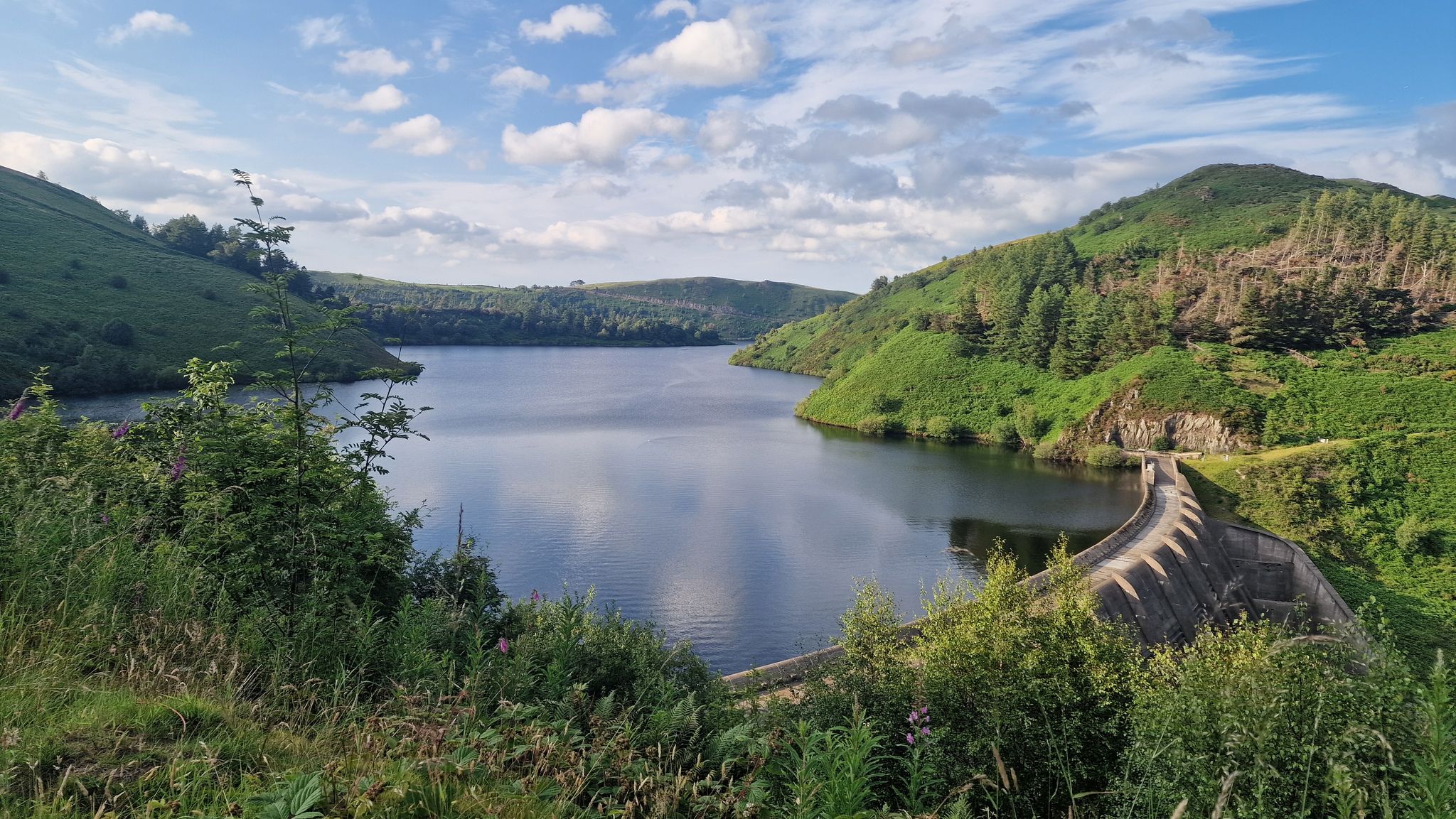
Glyndŵr’s Way – hiking in the footsteps of a Welsh hero
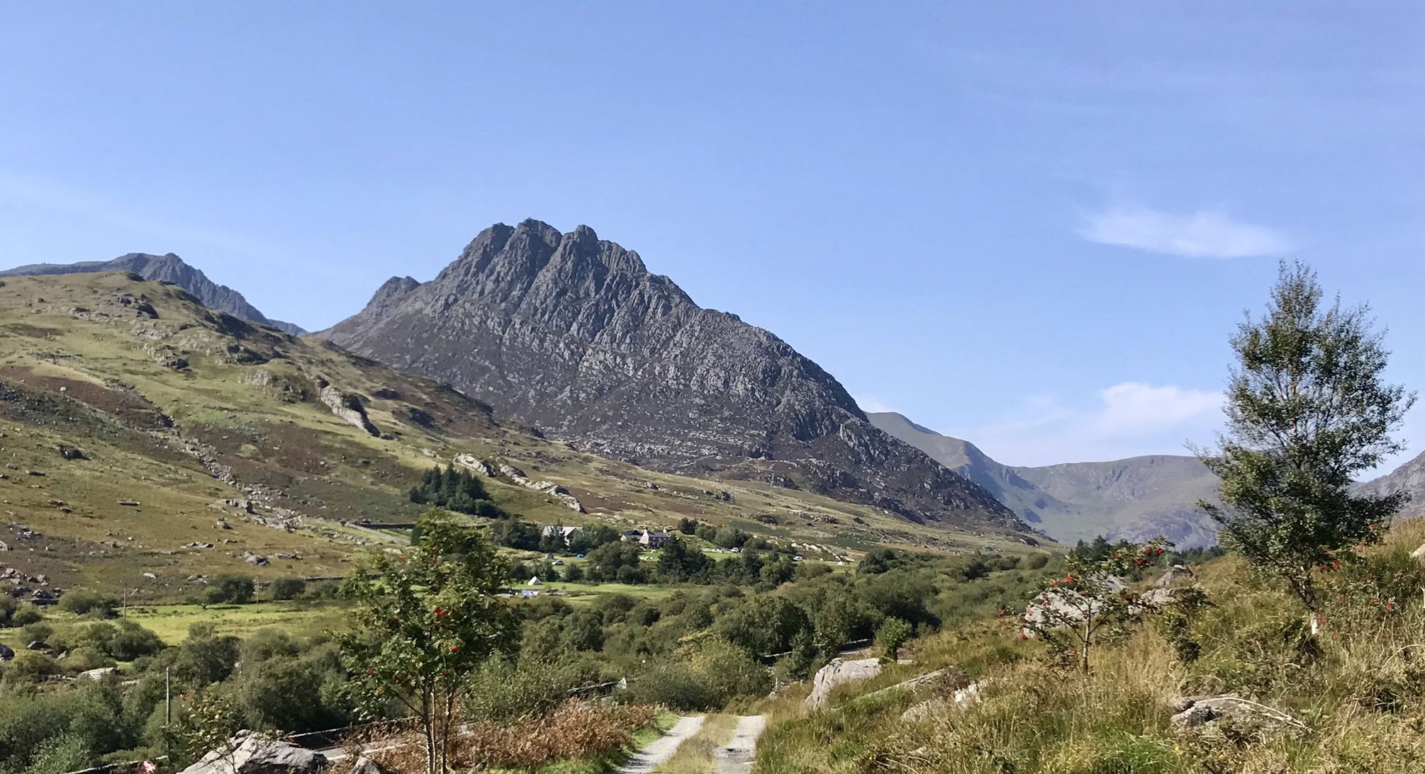
Snowdonia Way – A dramatic hike through Eryri's mountainous heart
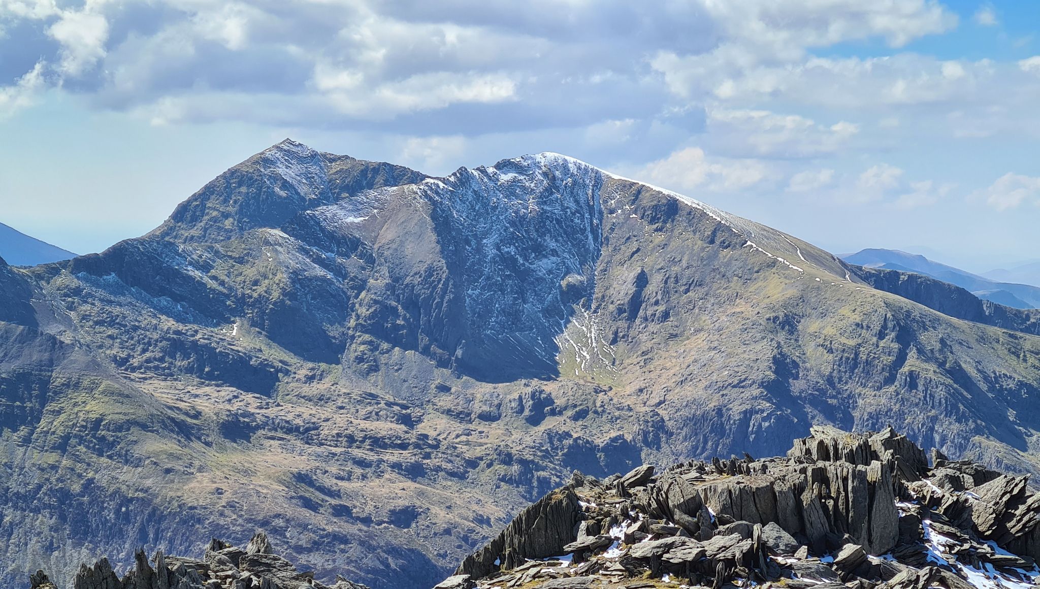
Snowdonia Way Mountain Route – Rise to Eryri's awesome summits
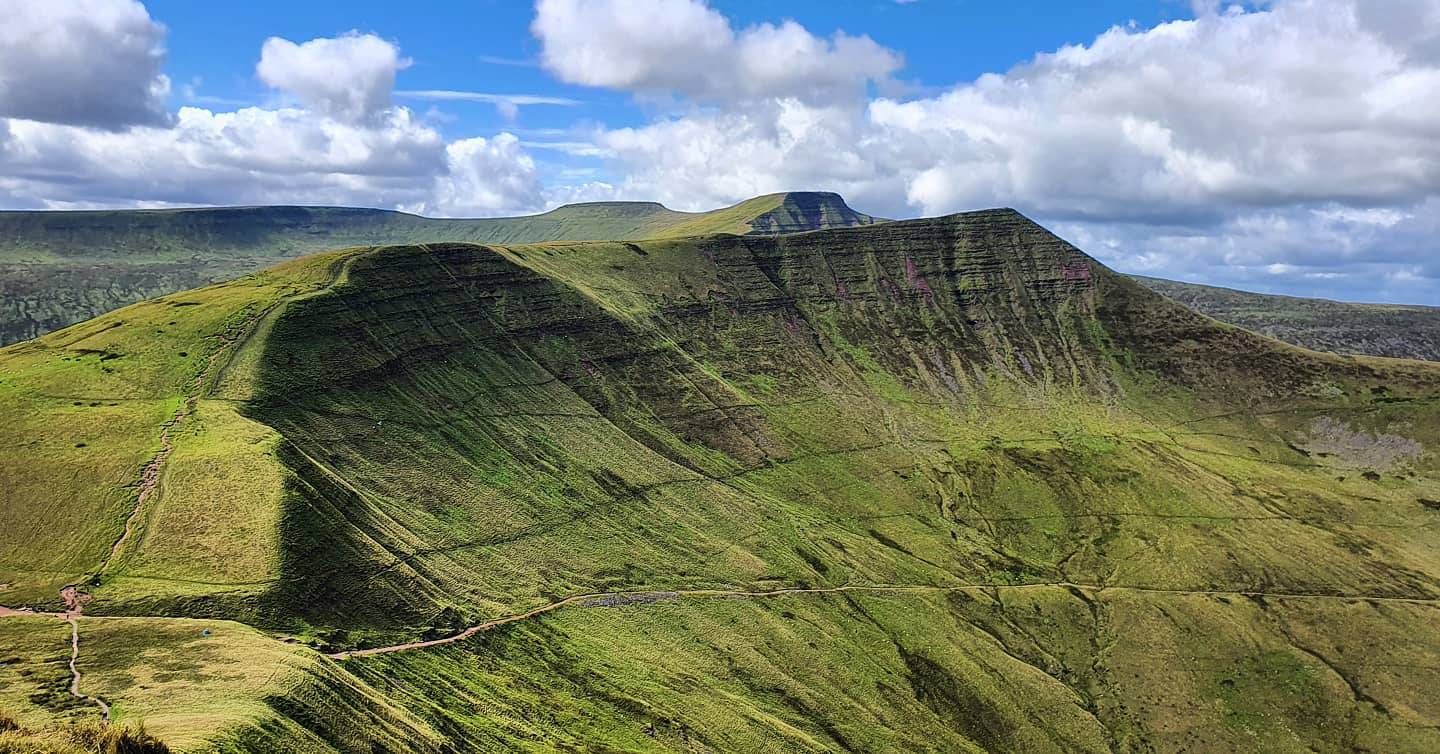
Beacons Way — Hike the high, emerald spine of South Wales

Celtic Way — An epic pilgrimage through prehistory and wild beauty

O Fon i Fynwy — Exploring Wales on foot from top to bottom
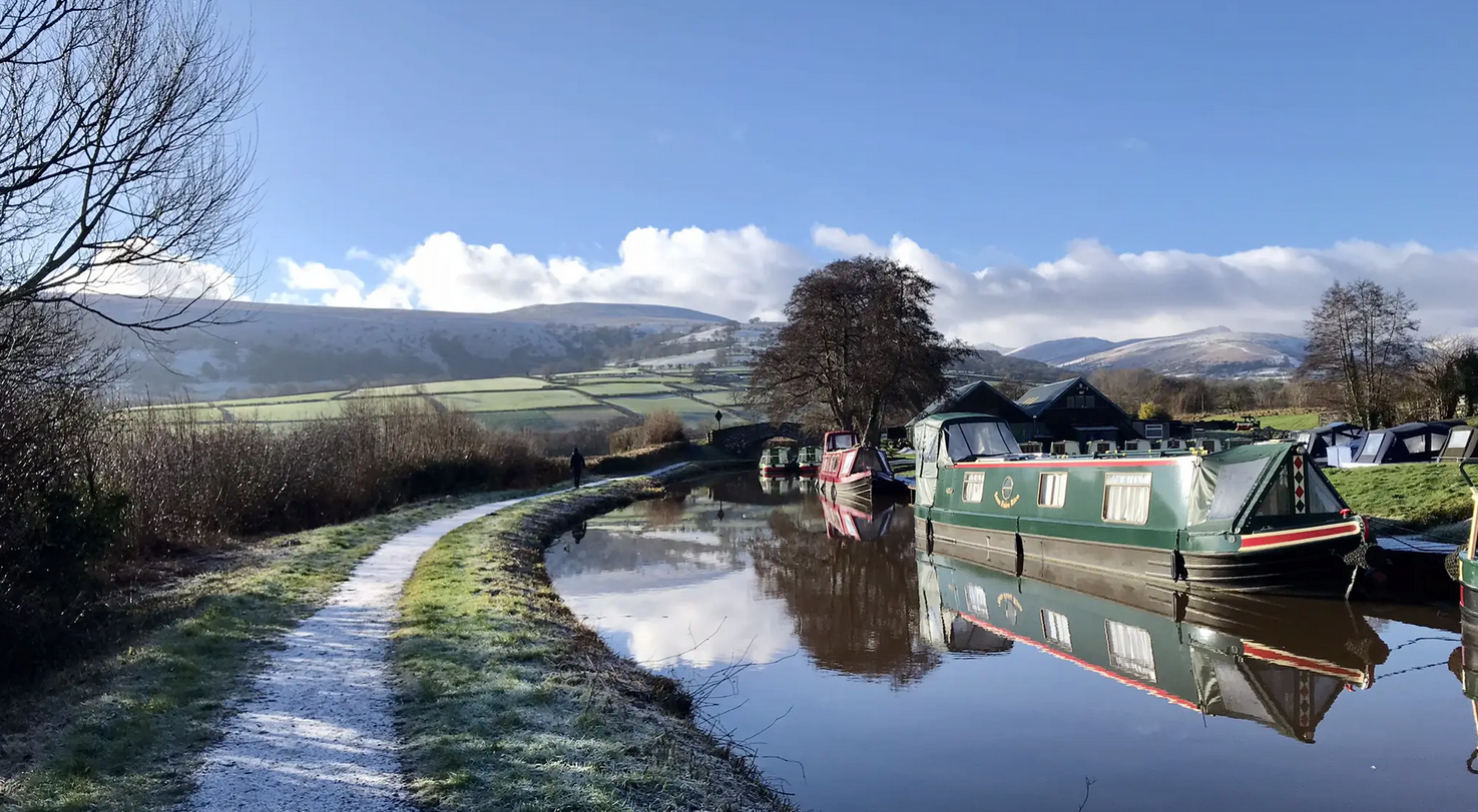
Usk Valley Walk — A river ramble into the Brecon Beacons
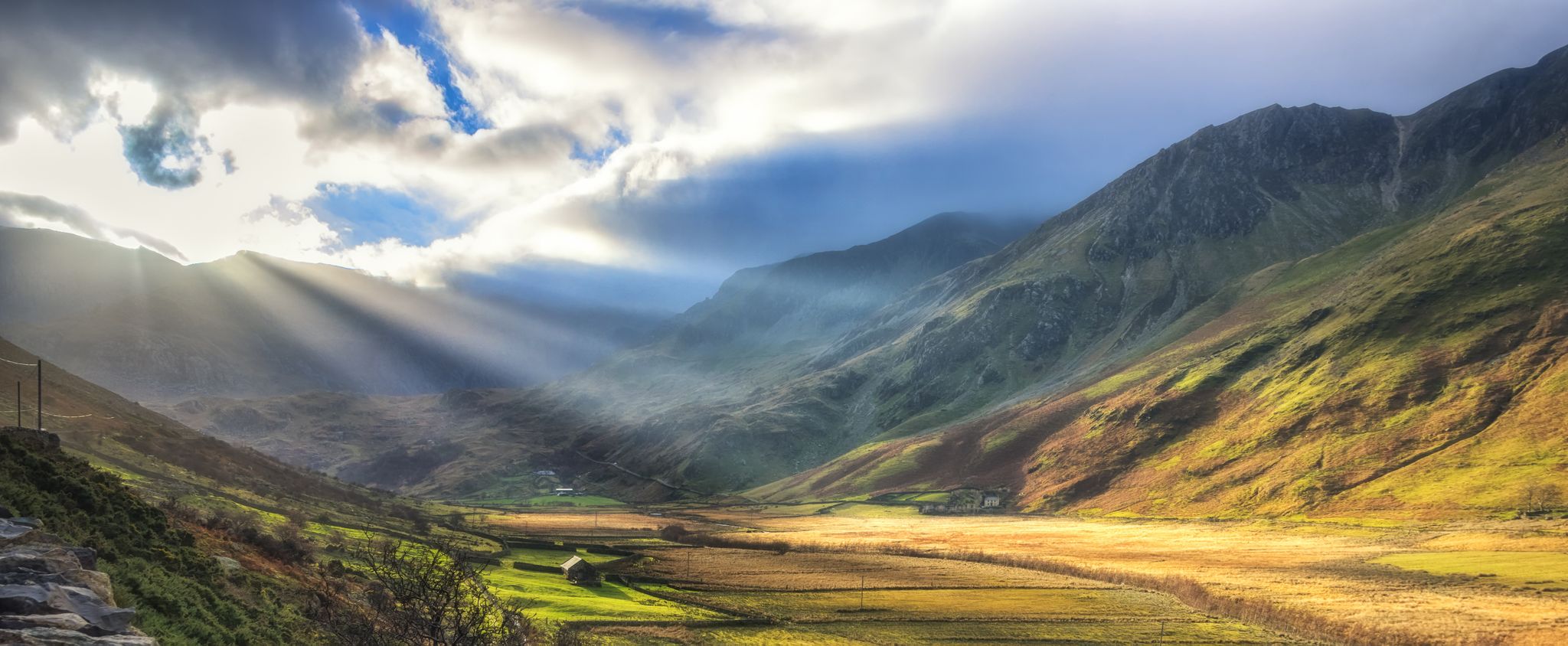
Snowdonia Slate Trail — Unearth one of Wales' most spectacular hikes
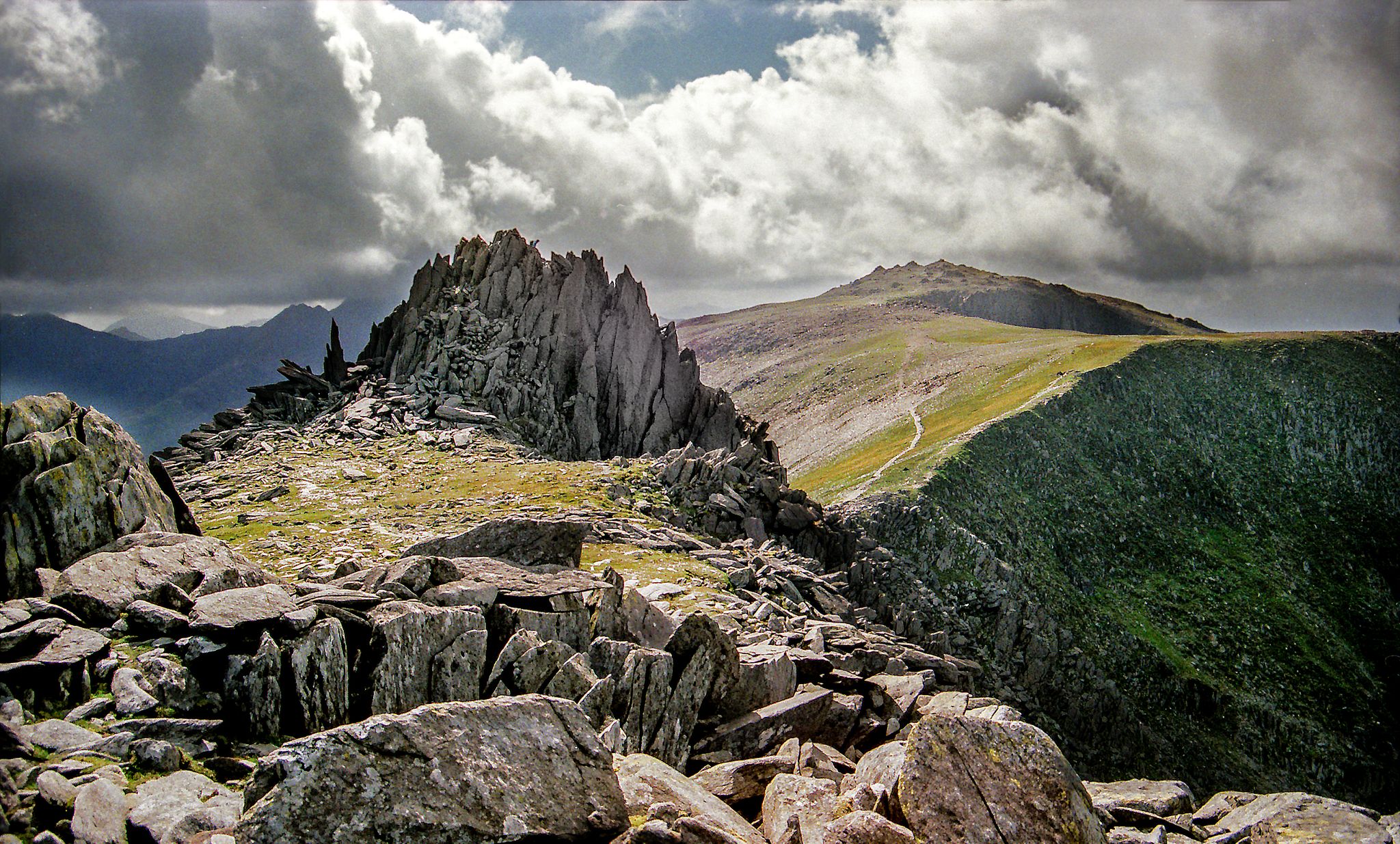
Hiking the Paddy Buckley Round — An epic Snowdonian adventure
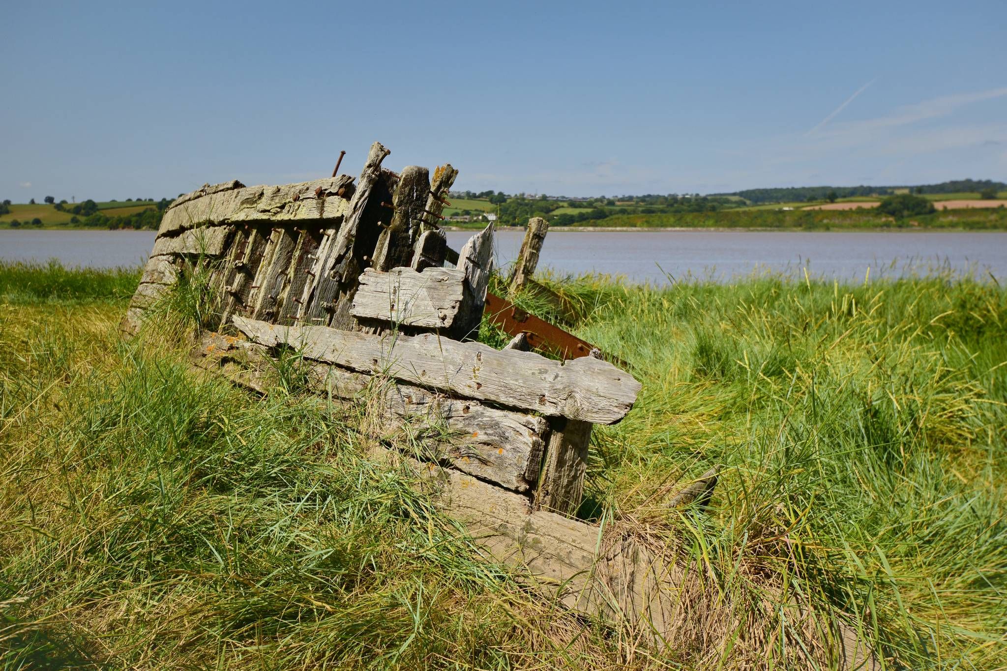
Severn Way — Hike Britain's longest river from source to sea
Other adventures in the Cambrian Mountains


Tips from the Community


According to legend, Cader is named after a giant called Idris Gawr. 'Cadair Idris' means 'Chair of Idris' in English, while 'Cader' can also refer to an ancient fortress. The place is known as Cader Idris rather than Cadair, but both names are used. The most famous local fable is that if you spend the night on the mountain, you will go mad or become a poet. (Visit Wales)
6
0
It is worth the effort. At the top, you enjoy a beautiful view in all directions. It cannot be captured in photos.
6
0
Craig Cwm Amarch is separated from Cadair Idris by a short, narrow ridge around Craig Cau, which encloses the beautiful lake Llyn Cau.
7
0

A reminder of when the area was heavily worked, part of the old Slate Level. This is not the Devil's Kitchen, which is high up on Cwm Idwal.
0
0

Llyn Idwal is a stunning glacial lake nestled in the Glyderau mountains of Eryri (Snowdonia), North Wales. Designated as Wales’ first National Nature Reserve, its dramatic landscape was famously studied by Charles Darwin to prove glacial action. Legend says the lake is named after a drowned prince and that birds refuse to fly over its crystal-clear waters.
0
0
Idwal Gorge is a dramatic, steep-sided ravine located above Llyn Idwal in Eryri (Snowdonia). Known for the Idwal Staircase, it offers a challenging "Grade 2" scramble through mossy, water-worn rock and hidden cascades. In winter, it is a premier destination for ice climbers. Carved by glacial meltwater, this rugged cleft provides a raw encounter with the powerful geological forces that sculpted the iconic Ogwen Valley landscape.
0
0
Frequently Asked Questions
How does hiking in the Cambrian Mountains compare to Snowdonia or the Brecon Beacons?
The Cambrian Mountains offer a different experience compared to the more famous national parks. You'll find a wilder, more remote landscape with rolling hills and expansive moorland. It's generally much quieter, providing a sense of solitude that can be harder to find in the busier areas of Snowdonia and the Brecon Beacons.
Are there any good waterfall walks in the region?
Yes, the area is known for its beautiful river valleys. While the most famous waterfall walk is in the nearby Brecon Beacons, you can find stunning water features throughout the Cambrians. For a classic experience, the Ystradfellte Four Waterfalls Walk is a fantastic choice, leading you through a wooded gorge to several impressive cascades.
Can I bring my dog on hikes in the Cambrian Mountains?
Yes, dogs are welcome on many trails, but it's important to be responsible. The region is characterized by open moorland with grazing sheep, so you must keep your dog on a lead, especially during lambing season (typically March to July). Always check for specific restrictions at trailheads and respect the local wildlife and livestock.
What are some good hikes for beginners or families?
The Cambrian Mountains have numerous options for easier walks. The Elan Valley offers well-maintained trails around its scenic reservoirs, which are great for all abilities. For a slightly more adventurous but still manageable outing, the main route to the Ystradfellte waterfalls is a moderate trail that is very rewarding for families.
What are the most challenging hikes available?
For those seeking a challenge, the region offers demanding ascents with significant elevation gain. The Cadair Idris loop on the Minffordd path is a difficult but classic mountain hike with steep sections and incredible views. Another strenuous option is the Pen y Fan, Cribyn & Fan y Big loop, a long day out covering multiple peaks.
Are there any good circular walks?
Circular walks are very common in the Cambrian Mountains. A great example is the Waun Fach loop via the Dragon's Back, which provides a fantastic day of hiking with varied terrain and stunning ridge views. Many routes around the Elan Valley and Llanwrtyd Wells are also designed as loops.
How do I get to the Cambrian Mountains using public transport?
Reaching the heart of the Cambrian Mountains by public transport can be challenging due to the region's remoteness. The most practical approach is to take a train to a larger town on the periphery, such as Aberystwyth or Llandrindod Wells, and then use local bus services. However, services are infrequent and may not reach all trailheads, so planning your journey in advance is essential.
What should I pack for a day hike in the Cambrian Mountains?
The weather in the Welsh mountains can change rapidly. Essential items include waterproof and windproof clothing, sturdy hiking boots, extra layers, and plenty of water and food. A map and compass (and knowing how to use them) are vital, as phone signal can be unreliable in remote areas. For navigation, downloading your route on komoot for offline use is highly recommended.
Is the area good for stargazing?
Absolutely. The Cambrian Mountains have very little light pollution, making them one of the best places in the UK for stargazing. The Elan Valley Estate is a designated International Dark Sky Park and even has an 'Astro Trail' with specific sites perfect for observing the night sky. On a clear night, the views are spectacular.
What is the hike to Pumlumon Fawr like?
Pumlumon Fawr is the highest peak in the Cambrian Mountains. The hike to its summit is a rewarding challenge across open, boggy moorland. The paths can be indistinct in places, so good navigation skills are required. From the top, you are rewarded with panoramic views that can stretch to Snowdonia and the Brecon Beacons on a clear day. It's also the source of the rivers Severn and Wye.
What do other hikers enjoy most about the Cambrian Mountains?
The region is highly rated by the komoot community, with an average score of 4.5 stars. Hikers frequently praise the profound sense of peace and wildness. Reviewers often highlight the uncrowded trails, the vast, open landscapes, and the chance to spot wildlife like the iconic red kite.
Are there any quiet trails or hidden gems?
One of the main attractions of the Cambrian Mountains is the abundance of quiet trails. While popular spots can get busy, it's easy to find solitude by exploring lesser-known paths. The area around the Cors y Llyn National Nature Reserve offers peaceful walks through unique wetland habitats. Exploring the Cwmystwyth Valley or the trails in Hafren Forest will also lead you away from the main crowds.
Most popular routes in the Cambrian Mountains
Most popular attractions in the Cambrian Mountains

Get inspired with the komoot mobile app


Explore more
Browse the best Hikes in other regions.
