The best traffic-free bike rides in the Cambrian Mountains
4.6
(259)
2,314
riders
147
rides
Gravel biking in the Cambrian Mountains offers an extensive upland area characterized by wild, remote, and unspoiled nature. This region provides diverse and challenging terrain, featuring a network of no traffic gravel bike trails ranging from smooth gravel roads to rocky singletrack and ancient ridge roads. Riders can explore extensive moorlands, rounded hills, and deep river valleys, encountering varied landscapes including grassy hills and forest tracks. The low population density contributes to a sense of solitude, making it suitable for year-round riding due to rocky rather than muddy surfaces.
Best no traffic gravel bike trails in the Cambrian Mountains
- The most popular no traffic gravel bike trail is Trans Cambrian Way Loop, a 48.0 miles (77.2 km) trail that takes 6 hours 49 minutes to complete. This route showcases the remote beauty of the area with significant elevation changes.
- Another top favourite among local gravel bikers is Nant y Moch loop from Machynlleth — Cambrian Mountains, a difficult 31.9 miles (51.4 km) path. This loop offers expansive views around the Nant-y-Moch reservoir.
- Local gravel bikers also love the Mach 1, 2, and 3 Loop, a 30.4 miles (48.8 km) trail leading through mountain and valley landscapes, often completed in about 4 hours 44 minutes.
- Gravel biking in the Cambrian Mountains is defined by extensive moorlands, rounded hills, and deep river valleys. The network offers options for different ability levels, from smooth gravel roads to more technical rocky singletrack.
- The routes in Cambrian Mountains are highly rated by the komoot community with an average score of 4.6 stars from around 250 reviews. More than 2,000 gravel bikers have used komoot to explore Cambrian Mountains's varied terrain.
Last updated: July 12, 2026
5.0
(3)
45
riders
77.2km
06:50
1,280m
1,280m
Embark on the Trans Cambrian Way Loop, a demanding gravel biking route that spans 48.0 miles (77.2 km) and climbs 4191 feet (1277 metres) through the remote Cambrian Mountains. This difficult trail, estimated to take 6 hours and 49 minutes, offers expansive landscapes and rolling hills, often called the "desert of Wales." You will navigate a mix of top-quality gravel tracks, rocky singletrack, and ancient ridge roads, with the serene Teifi Pools and the impressive Claerwen Dam in the Elan Valley as notable landmarks along the way.
Planning your ride requires self-reliance due to the trail's remote nature and limited facilities. You should be prepared for varied conditions, including numerous river crossings that may require dismounting your bike. Boggy sections can appear, especially after rain, so consider the weather forecast before you go. Factor in potential delays from gates along the route, and remember that carrying a water filter is highly recommended to ensure you stay hydrated throughout your journey.
This route takes you deep into the Claerwen National Nature Reserve, a wild and untamed environment where sheep are often your only companions. The Cambrian Mountains themselves are known for their vastness and isolation, offering a true escape into nature. The trail's blend of challenging terrain and stunning natural beauty makes it a rewarding off-road bikepacking experience, showcasing the unique character of this less-traveled part of Wales.
5.0
(1)
10
riders
48.8km
04:45
930m
930m
Embark on the Mach 1, 2, and 3 Loop, a difficult gravel biking adventure spanning 30.4 miles (48.8 km) with a significant 3067 feet (935 metres) of elevation gain. This route takes you deep into the Plynlimon mountains, offering a true sense of wilderness and isolation. You'll navigate open, exposed trails that provide expansive views of forestry, valleys, and distant peaks. Keep an eye out for red kites soaring above, particularly along the Valley Balcony Gravel Track, a highlight of this nearly 4-hour and 44-minute journey. The combination of three distinct loops ensures a comprehensive experience.
Planning for this difficult route requires preparation. The Mach 1, 2, and 3 Loop primarily follows natural tracks and gravel roads, leading you into remote areas. Specifically, the Mach 3 section ventures deep into the Northern Cambrian Mountains, where services are non-existent. Make sure to pack ample snacks and water, as you won't find any refueling options along the way. A strong level of fitness and good mountain-sense are essential to safely complete this challenging gravel biking experience.
This route stands out for its comprehensive exploration of the Welsh mountains, combining three distinct loops into one challenging ride. It offers a unique opportunity to experience the wild beauty of the Plynlimon range, with its varied terrain and sweeping vistas. The trail's remote nature means you will encounter few others, allowing for a truly immersive journey through this rugged landscape.

Sign up for free
5.0
(1)
11
riders
51.4km
04:59
960m
960m
Embark on the Nant y Moch loop from Machynlleth, a difficult gravel biking adventure spanning 31.9 miles (51.4 km) with a significant 3164 feet (964 metres) of elevation gain. This route, which typically takes around 4 hours and 59 minutes, treats you to expansive mountain and valley views, including the picturesque Nant y Moch Reservoir. You will navigate a variety of surfaces, from a spectacular 'balcony' gravel road and thrilling forested descents to rocky doubletrack around the reservoir and slate tracks, often encountering wet sections and large puddles.
This challenging ride demands very good fitness, as some segments may even require you to push your bike. While it offers a good challenge on a gravel bike, it is not unrideable for those prepared for its demands. Ensure you are well-equipped for varied terrain and potential wet conditions, even in summer, to fully enjoy the diverse landscapes of the Cambrian Mountains.
The Nant y Moch loop is celebrated as one of Wales's best double track trails for gravel riders, with the rocky doubletrack around the reservoir being a particular highlight. Situated within the UNESCO-designated Dyfi Biosphere Reserve, the trail showcases the natural beauty of rolling hills and moorland. The Cambrian Mountains are recognized as a premier destination for gravel riding in the UK, and this route exemplifies the region's appeal for adventurous cyclists.
4.2
(9)
46
riders
31.0km
03:07
640m
640m
Embark on the Gwydir Mawr Trail, a challenging gravel biking route spanning 19.3 miles (31.0 km) with a significant 2108 feet (643 metres) of elevation gain. This difficult ride, typically completed in about 3 hours and 6 minutes, takes you through the lush green landscapes of Gwydir Forest Park. You'll experience panoramic views of the Snowdonia mountains, riding a mix of wider forest roads and technical singletrack. The route traverses dark forests and exposed ridgelines, offering a varied and engaging experience. Keep an eye out for scenic spots like Llyn Geirionydd, a beautiful lake nestled within the forest.
When planning your visit, be prepared for challenging conditions, especially if the weather is wet. Descending sections can become slippery with leaf-covered rocks and flowing water, so exercise caution. Some parts of the trail are steep and rocky; consider riding north to south, which allows you to hike up particularly difficult sections rather than riding down them. A suitable quality off-road mountain bike is recommended for this terrain, though experienced gravel bikers can also tackle it.
This trail is situated within the stunning Eryri National Park, offering a unique opportunity to explore its natural beauty on two wheels. The Gwydir Mawr Trail is known for its blend of fast-flowing sections and technical challenges, making it a rewarding experience for those seeking an adventurous ride. It stands out in the region for its diverse terrain and the immersive forest environment it provides.
5.0
(1)
13
riders
33.0km
03:31
840m
840m
Prepare for a difficult gravel biking adventure on the Ride the Clwyds: Loop de Loop, a challenging route covering 20.5 miles (33.0 km). You will climb 2749 feet (838 metres) over varied terrain, from compacted gravel to exciting singletrack, all set within the distinctive heather-clad hills. As you ride, you will encounter untamed trails, steep climbs, and exhilarating berms. The route offers impressive vistas over the Vale of Clwyd and across the East of the Clwydian Range. You can also expect to pass by the Moel Famau Summit, a memorable landmark on your journey. This ride typically takes around 3 hours and 31 minutes to complete.
This route is consistently rated as difficult, so you should have a very good level of fitness and advanced riding skills before you set out. While you can tackle this on a gravel bike, wide, knobbly tires are highly recommended. This is due to the rocky and loose descents you will encounter along the way. Make sure your bike is well-maintained and ready for a demanding ride.
The Ride the Clwyds: Loop de Loop is designed with five interlinked sections, offering flexibility for your ride. If you prefer a less demanding experience, you can choose to complete shorter sections of the route. This allows you to tailor your adventure to your energy levels or time constraints. The varied terrain and challenging climbs make this a notable route within the Clwydian Range.
Get access to more routes and recommendations from other explorers.
Sign up for free
Already have an account?
Our route recommendations are based on thousands of hikes, rides, and runs completed by other people on komoot.
Start today with a free account
Your next adventure awaits.
Login or Signup
Popular around Cambrian Mountains
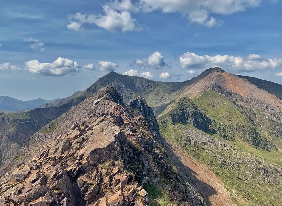
The Dragon's Back – running the spine of Wales
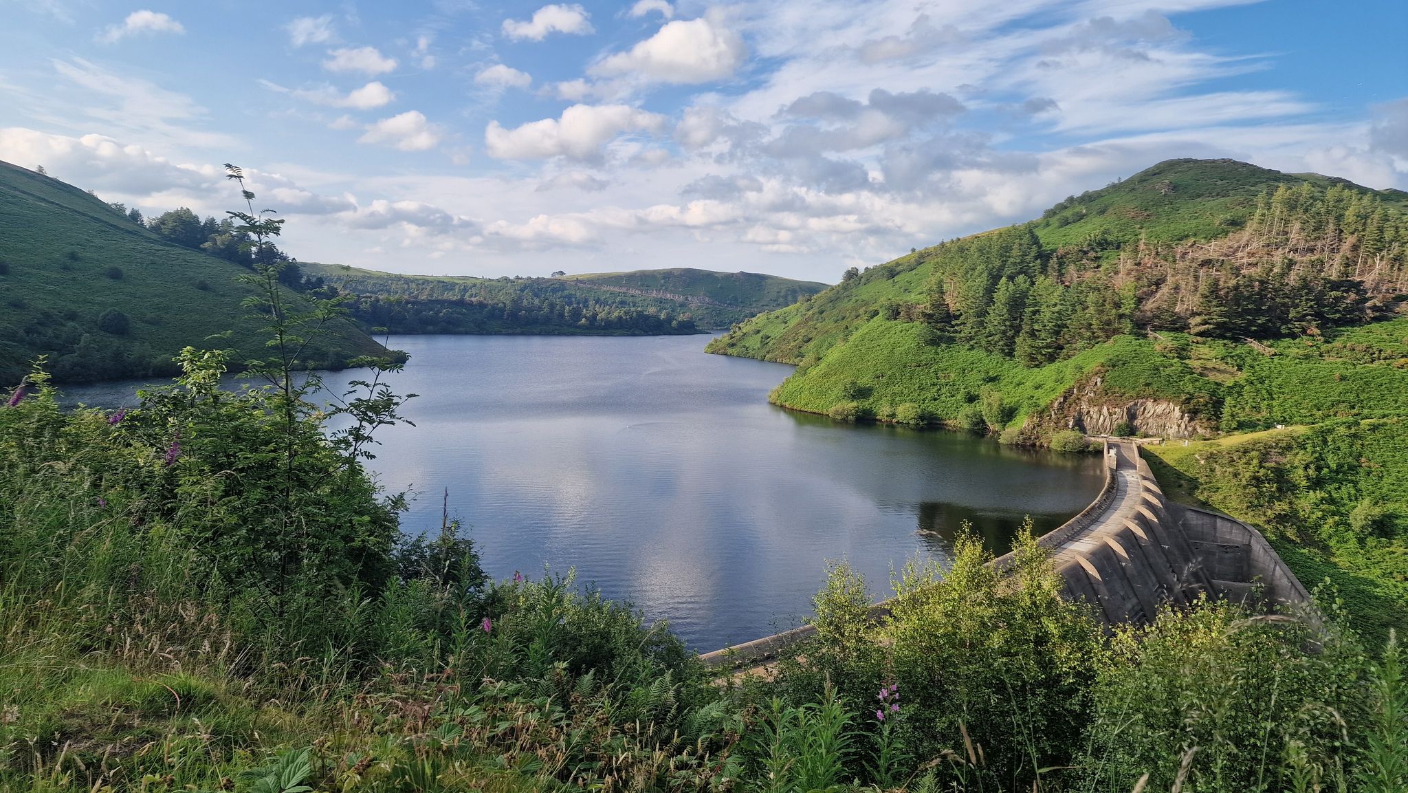
Glyndŵr’s Way – hiking in the footsteps of a Welsh hero
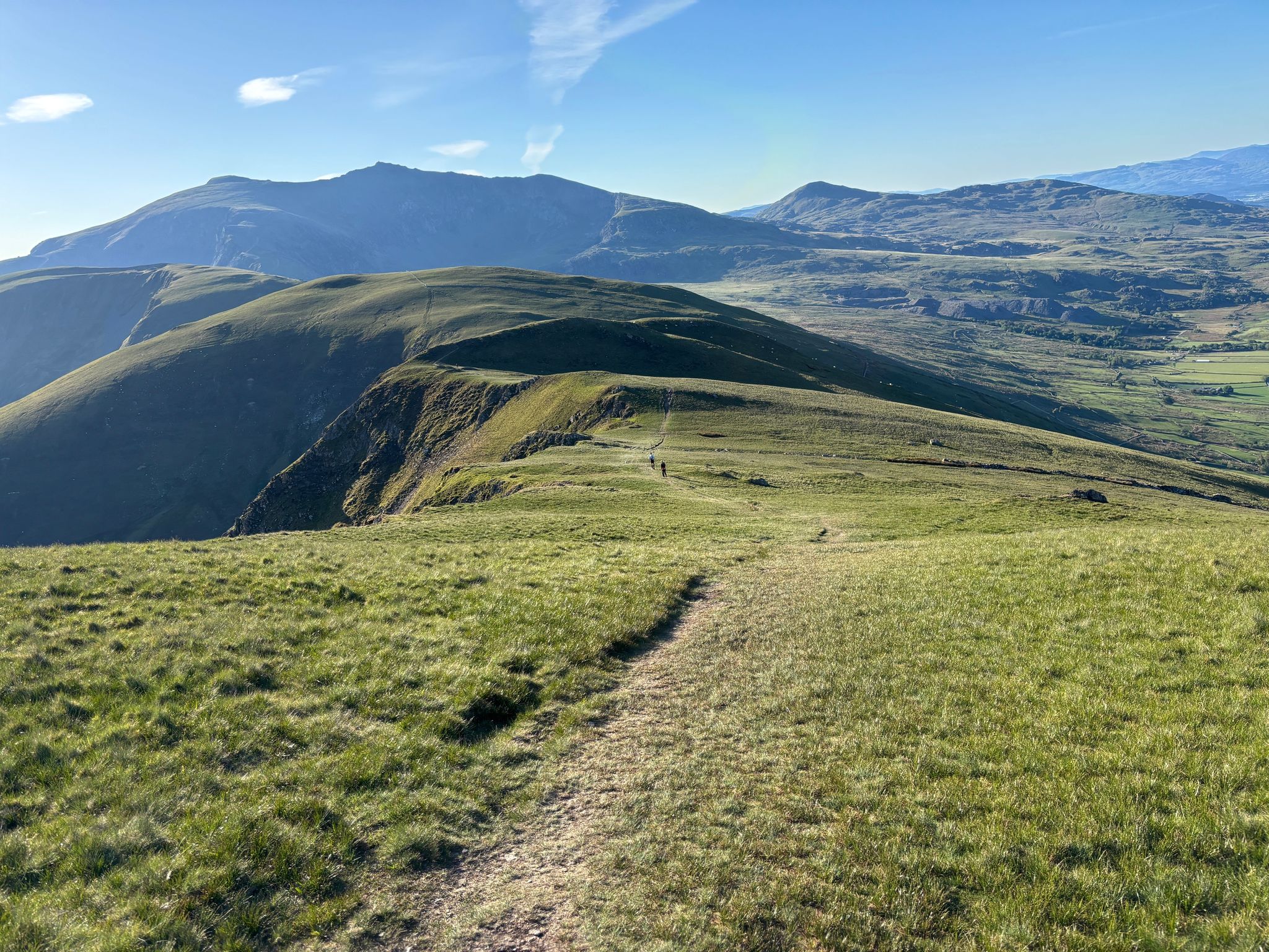
Ultra Trail Snowdonia by UTMB – 100 epic miles in Eryri
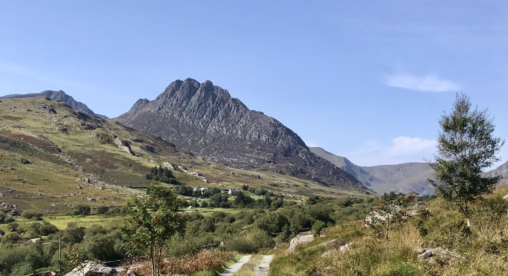
Snowdonia Way – A dramatic hike through Eryri's mountainous heart
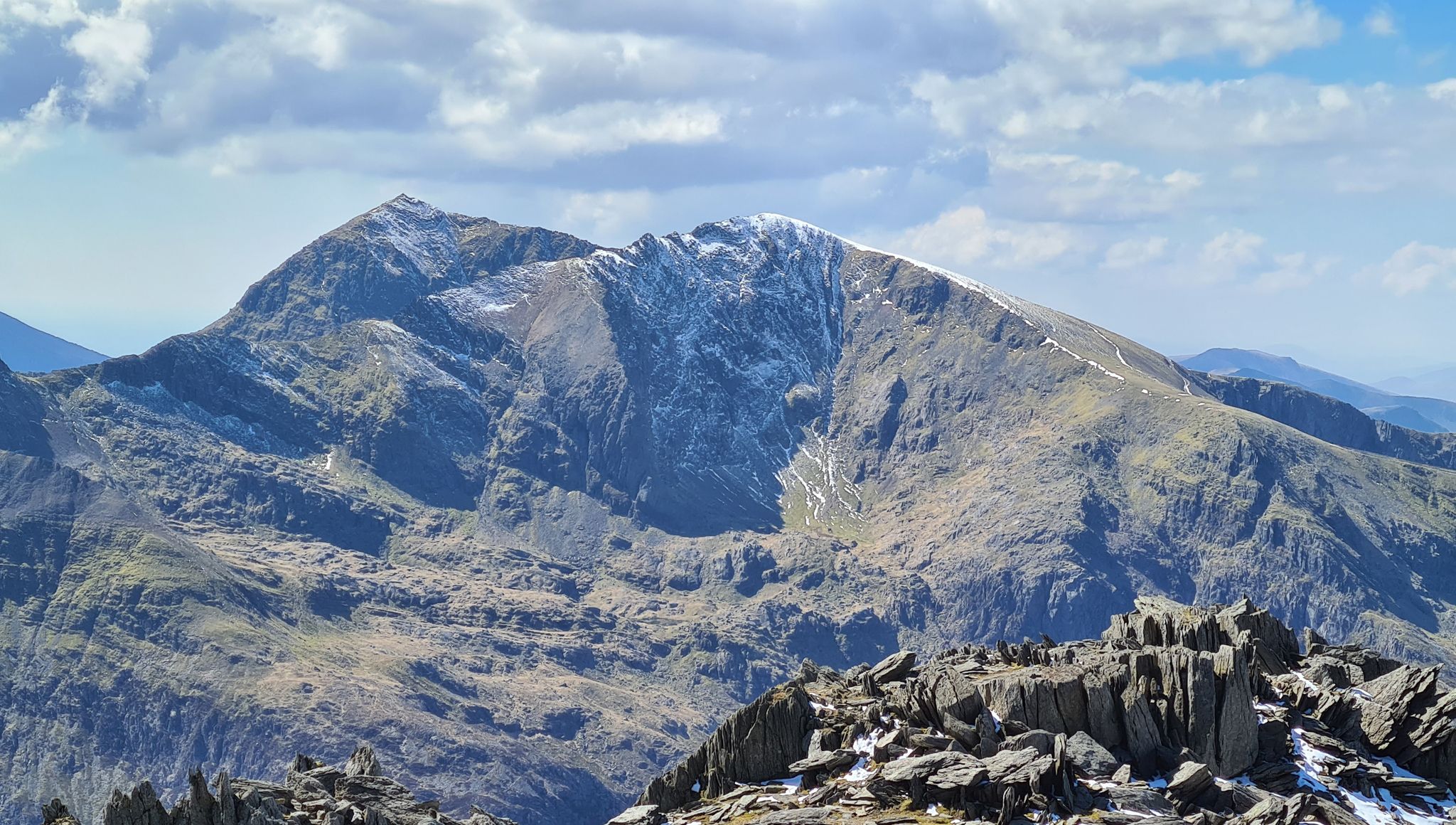
Snowdonia Way Mountain Route – Rise to Eryri's awesome summits
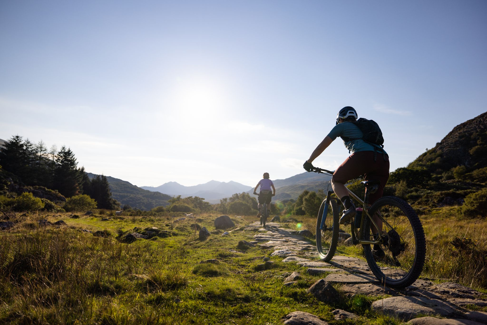
Traws Eryri — Bikepacking Snowdonia from Machynlleth to Conwy
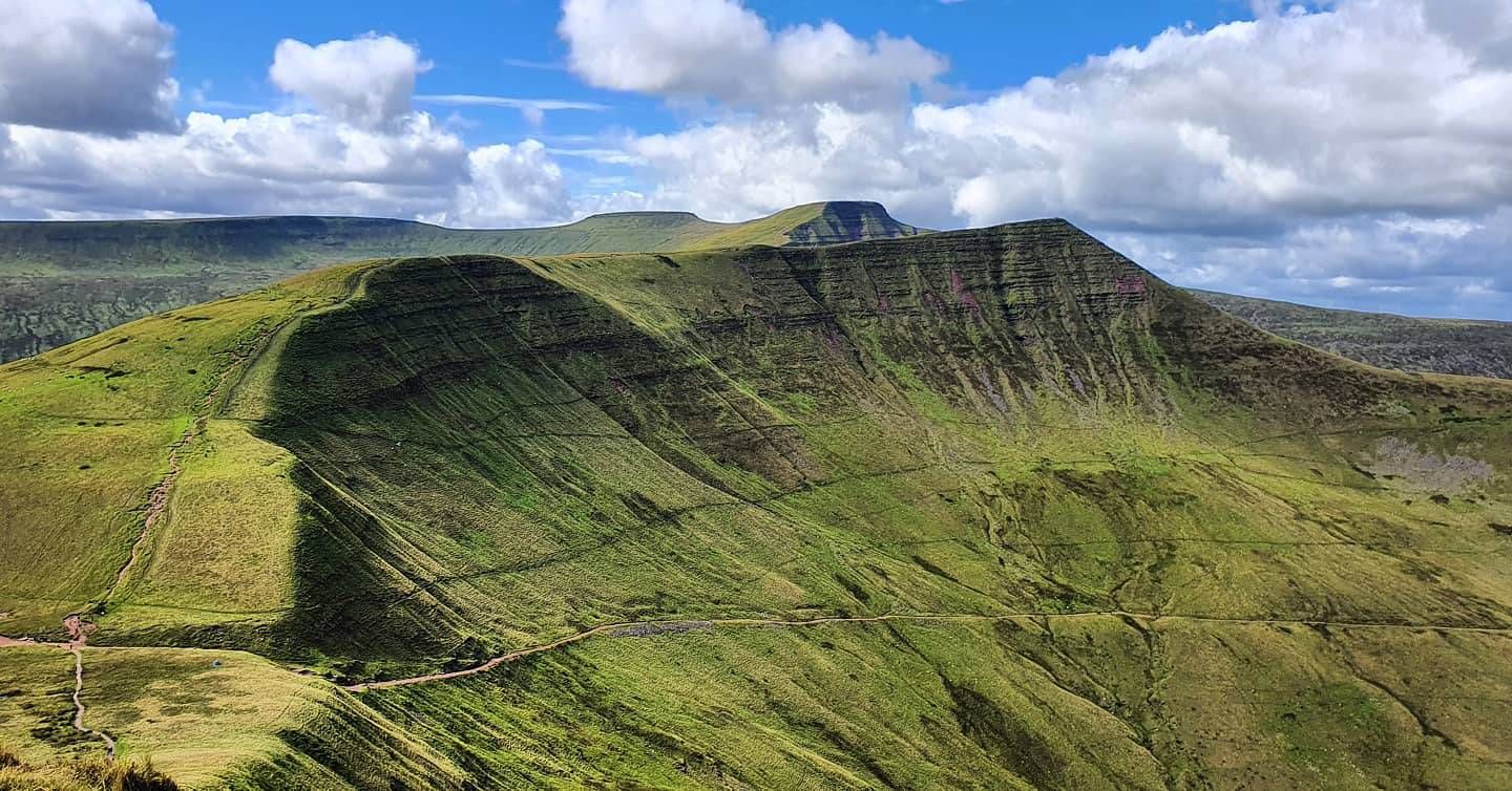
Beacons Way — Hike the high, emerald spine of South Wales
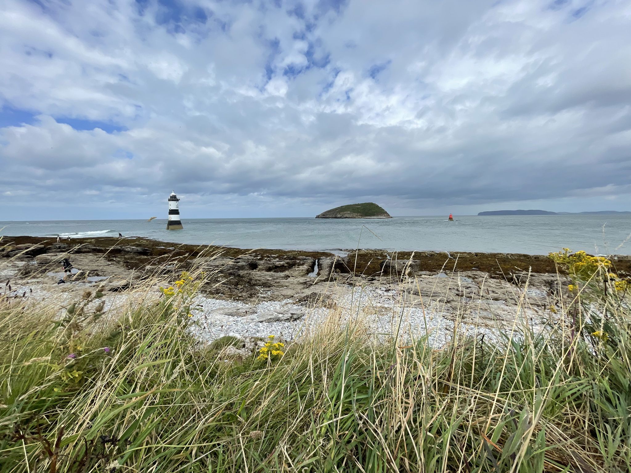
Cycling on Anglesey — in search of the wild on Wales' largest island

Celtic Way — An epic pilgrimage through prehistory and wild beauty

O Fon i Fynwy — Exploring Wales on foot from top to bottom
Other adventures in the Cambrian Mountains


Tips from the Community

Not all trails in this area permit mountain bikes. Check it first. The rangers over there are zealots.
0
0


A good way into the valley. A flat out gravel surface that winds around the dams for miles
0
0

Nant y Moch Reservoir is a significant water reservoir located in the Cambrian Mountains of Wales, specifically in the county of Ceredigion. It was constructed in the late 20th century and is primarily used for water supply. The reservoir is situated near the village of Llanidloes and is part of the larger infrastructure managed by Welsh Water. The area surrounding Nant y Moch Reservoir is known for its natural beauty, featuring rolling hills, moorland, and diverse wildlife. It is a popular destination for outdoor activities such as walking, birdwatching, and fishing. The reservoir itself is also used for recreational purposes, and there are walking trails around its perimeter that offer stunning views of the water and the surrounding landscape. In terms of ecology, the reservoir and its surroundings support various plant and animal species, making it an important area for conservation as well as recreation. The combination of natural beauty and recreational opportunities makes Nant y Moch a valued spot in the Welsh countryside.
0
0


Stayed at The Wynnstay, perfect place to prepare for starting the Traws Eryri the following day...
0
0

One of the biggest challenges I've done in a long time absolutely fantastic scenery. Some crazy climbs but a real self achievement at the top
4
0
This area is one of the best for fantastic views and some very hard climbs
4
0
Frequently Asked Questions
How many no-traffic gravel bike trails are available in the Cambrian Mountains?
The Cambrian Mountains offer a wide selection of quiet gravel biking opportunities, with over 150 routes available. These range from easier rides to more challenging adventures, ensuring there's something for every skill level seeking solitude.
What kind of terrain can I expect on these no-traffic gravel trails?
The Cambrian Mountains are known for their diverse and often remote terrain. You'll encounter a mix of smooth gravel roads, forest tracks, ancient ridge roads, and sometimes more technical rocky sections. Unlike some other regions, many Welsh gravel roads here are rocky rather than muddy, making them suitable for year-round riding. Expect extensive moorlands, rounded hills, and deep river valleys.
What is the best season for gravel biking in the Cambrian Mountains?
While many of the gravel roads are rocky and can be ridden year-round, the best seasons are generally spring, summer, and early autumn. During these times, you'll experience more favorable weather conditions, clearer views, and easier navigation. Winter can be challenging due to colder temperatures and potentially harsher conditions in the exposed uplands.
Are there any long-distance no-traffic gravel routes in the Cambrian Mountains?
Yes, the region is ideal for longer, more immersive rides. A notable option is the Trans Cambrian Way Loop, a challenging 48-mile (77.2 km) trail that showcases the remote beauty of the area. The full Trans-Cambrian Way itself spans approximately 100 miles across Wales, with a significant portion being unpaved and traffic-free.
Are there beginner-friendly no-traffic gravel bike trails in the Cambrian Mountains?
While many routes in the Cambrian Mountains are rated as difficult, there are some easier options available, with around 7 routes specifically categorized as easy. These typically feature smoother surfaces and less elevation gain, providing a gentler introduction to gravel biking in the region. Always check the route details on komoot for specific difficulty ratings.
What natural landmarks or viewpoints can I see along these no-traffic gravel trails?
The Cambrian Mountains are rich in natural beauty. You might encounter stunning panoramic views from summits like Cnicht Summit or Tor y Foel Summit. The Elan Valley, often called 'the Welsh Lake District,' offers breathtaking scenery around its reservoirs, including Claerwen. The The Gap Pass also provides impressive vistas.
Are there any historical sites or cultural attractions near the gravel routes?
Yes, the region has a rich history. You could visit the ruins of Strata Florida Abbey, a significant 12th-century Cistercian abbey, offering a glimpse into Welsh heritage. Another unique attraction is Devil's Bridge, known for its three bridges built one on top of the other and local folklore.
Can I bring my dog on these gravel bike trails?
Many trails in the Cambrian Mountains are suitable for dogs, especially those on public bridleways and forest tracks. However, it's crucial to keep dogs under close control, particularly in areas with livestock or ground-nesting birds. Always check local signage and be respectful of the natural environment and other users.
Are these trails suitable for families with children?
For families, look for routes specifically marked as 'easy' or those that stick to well-maintained forest tracks, such as those found in Hafren Forest or around the Elan Valley reservoirs. These areas often provide smoother, less challenging surfaces and a more controlled environment away from traffic. Always assess the route's distance and elevation gain to match your family's capabilities.
What do other gravel bikers enjoy most about the no-traffic trails in the Cambrian Mountains?
The Cambrian Mountains are highly rated by the komoot community, with an average score of 4.6 stars. Reviewers often praise the profound sense of solitude and wildness, the stunning panoramic views, and the diverse, challenging terrain that offers a true escape from traffic. The extensive network of quiet gravel roads and tracks is a major draw for those seeking an immersive outdoor experience.
Are there opportunities for wild swimming along the gravel trails?
The Cambrian Mountains feature numerous rivers and lakes, particularly in areas like the Elan Valley and around Llyn Brianne. While not explicitly designated for wild swimming, many riders enjoy cooling off in natural pools or quiet lake shores. Always prioritize safety, check water conditions, and be aware of private land or environmental restrictions.
What are the parking options for accessing these quiet gravel trails?
Parking is generally available at key access points, trailheads, and visitor centers, especially in popular areas like the Elan Valley or near larger towns. Some remote routes may have limited or informal parking. Always park responsibly, ensuring you don't block access or cause inconvenience to local residents or farmers. For specific routes, check the tour details on komoot for recommended starting points and parking information.
Can I reach these trails using public transport?
Public transport options in the Cambrian Mountains can be limited due to the region's remote nature. While some larger towns on the periphery may have bus or train connections, reaching specific trailheads deep within the mountains often requires personal transport. It's advisable to research specific bus routes or train lines to nearby towns and plan accordingly if relying on public transport.
Most popular routes in the Cambrian Mountains
Most popular attractions in the Cambrian Mountains

Get inspired with the komoot mobile app


Explore more
Browse the best Gravel rides in other regions.
