The best mountain hikes in the Cambrian Mountains
4.9
(30)
373
hikers
33
hikes
Mountaineering in the Cambrian Mountains offers a remote and expansive upland experience in Mid Wales. This region, often called the "Green Desert," features the Pumlumon Massif, which rises to 752 meters (2,467 feet) and includes five distinct peaks. The landscape is characterized by vast moorlands, rolling hills, and deep, glacially sculpted valleys, providing extensive wilderness for exploration. Numerous rivers, including the Severn and Wye, originate here, and the area is dotted with lakes and waterfalls, contributing to its rugged character.
…Last updated: July 4, 2026
4.7
(6)
68
hikers
15.3km
05:37
940m
940m
Hard mountaineering route. Very good fitness required. Mostly accessible paths. Sure-footedness required.
4.5
(2)
36
hikers
6.43km
02:25
440m
440m
Moderate mountaineering route. Good fitness required. Easily-accessible paths. Suitable for all skill levels.

Sign up for free
36
hikers
6.74km
03:34
610m
610m
Hard mountaineering route. Good fitness required. Sure-footedness, sturdy shoes and alpine experience required.
5.0
(5)
30
hikers
14.0km
04:36
610m
610m
Moderate mountaineering route. Good fitness required. Easily-accessible paths. Suitable for all skill levels.
4.5
(2)
8
hikers
19.6km
07:29
1,060m
1,060m
Hard mountaineering route. Very good fitness required. Sure-footedness, sturdy shoes and alpine experience required.
5.0
(3)
20
hikers
17.8km
06:22
1,020m
1,020m
Hard mountaineering route. Very good fitness required. Easily-accessible paths. Suitable for all skill levels.
5.0
(2)
22
hikers
12.2km
04:48
840m
840m
Hard mountaineering route. Good fitness required. Sure-footedness, sturdy shoes and alpine experience required.
10
hikers
Moderate mountaineering route. Good fitness required. Mostly accessible paths. Sure-footedness required.
5.0
(1)
24
hikers
7.22km
03:10
580m
580m
Hard mountaineering route. Good fitness required. Sure-footedness, sturdy shoes and alpine experience required.
5.0
(3)
13
hikers
Hard mountaineering route. Very good fitness required. Mostly accessible paths. Sure-footedness required.
Get access to more routes and recommendations from other explorers.
Sign up for free
Already have an account?
Our route recommendations are based on thousands of hikes, rides, and runs completed by other people on komoot.
Start today with a free account
Your next adventure awaits.
Login or Signup
Popular around Cambrian Mountains
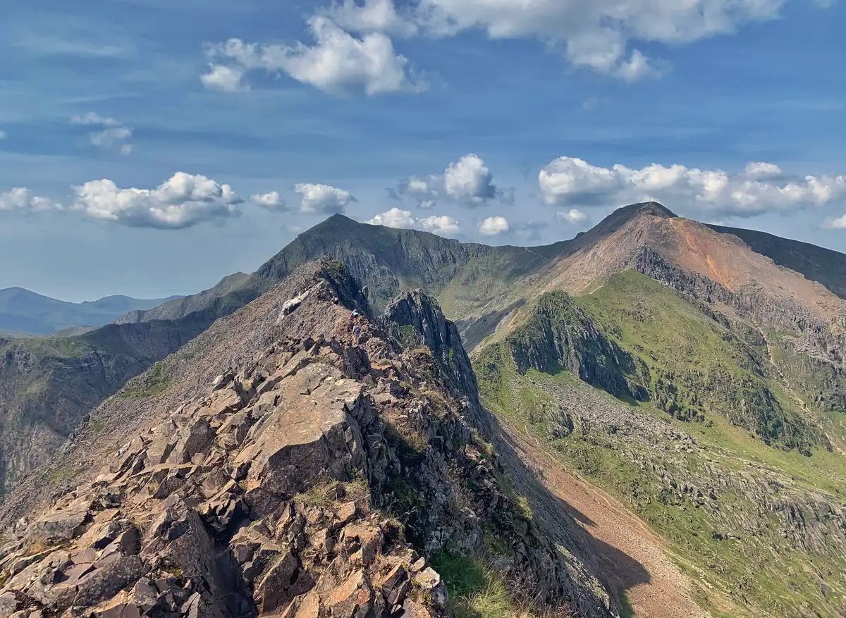
The Dragon's Back – running the spine of Wales
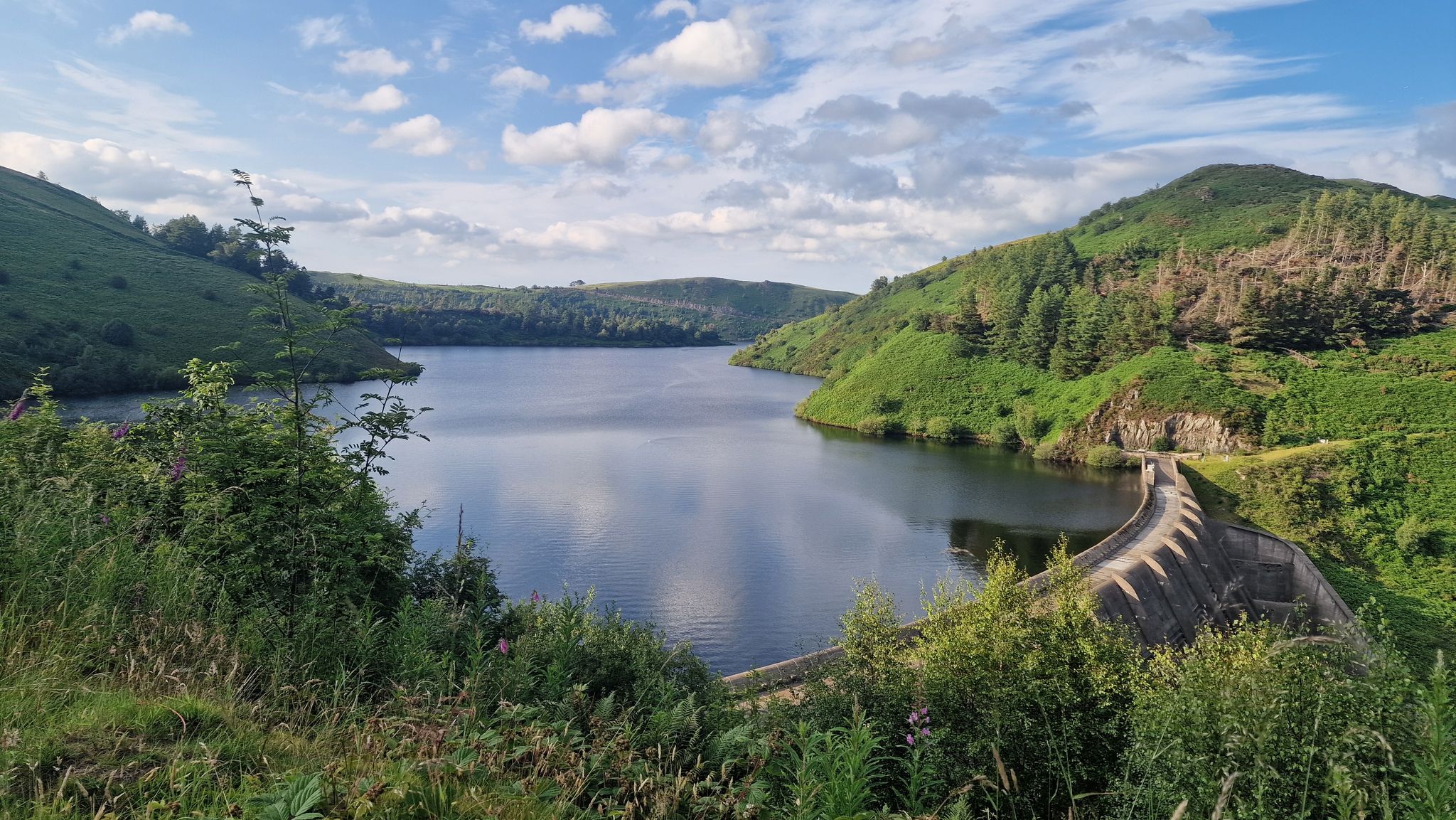
Glyndŵr’s Way – hiking in the footsteps of a Welsh hero
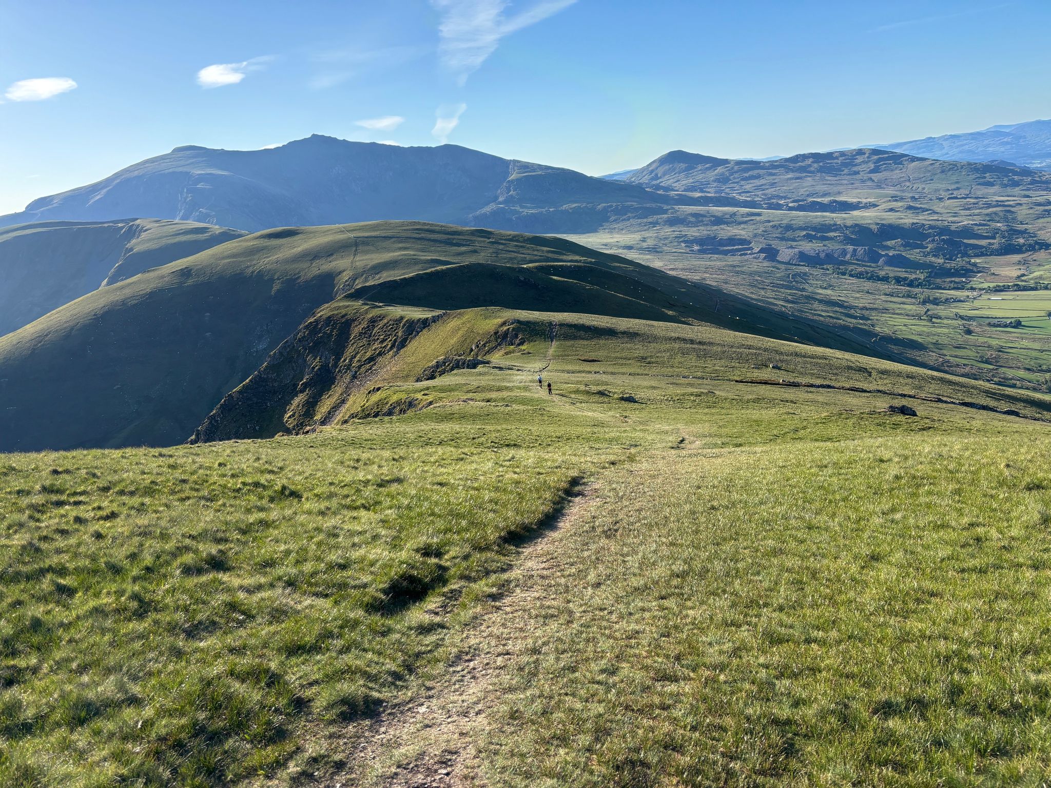
Ultra Trail Snowdonia by UTMB – 100 epic miles in Eryri
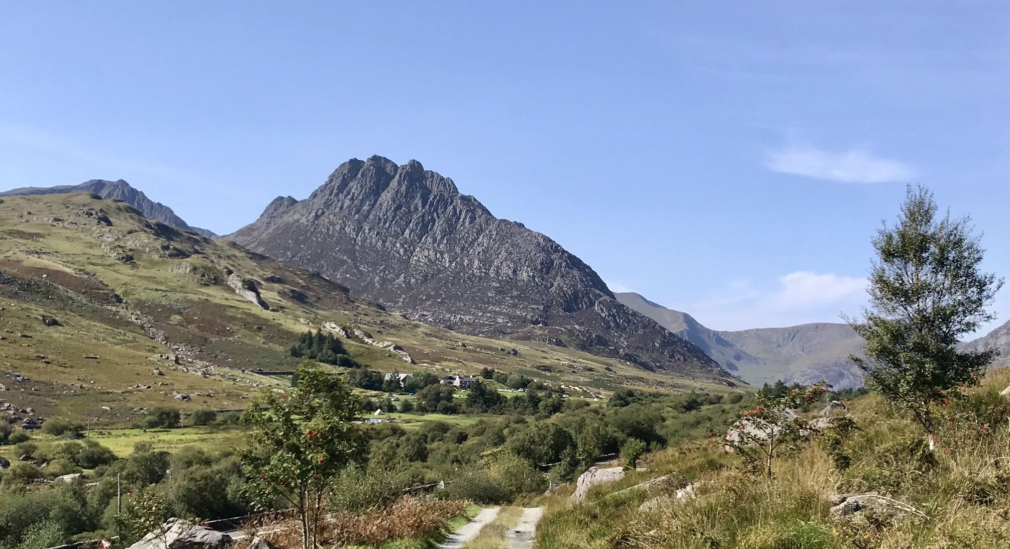
Snowdonia Way – A dramatic hike through Eryri's mountainous heart
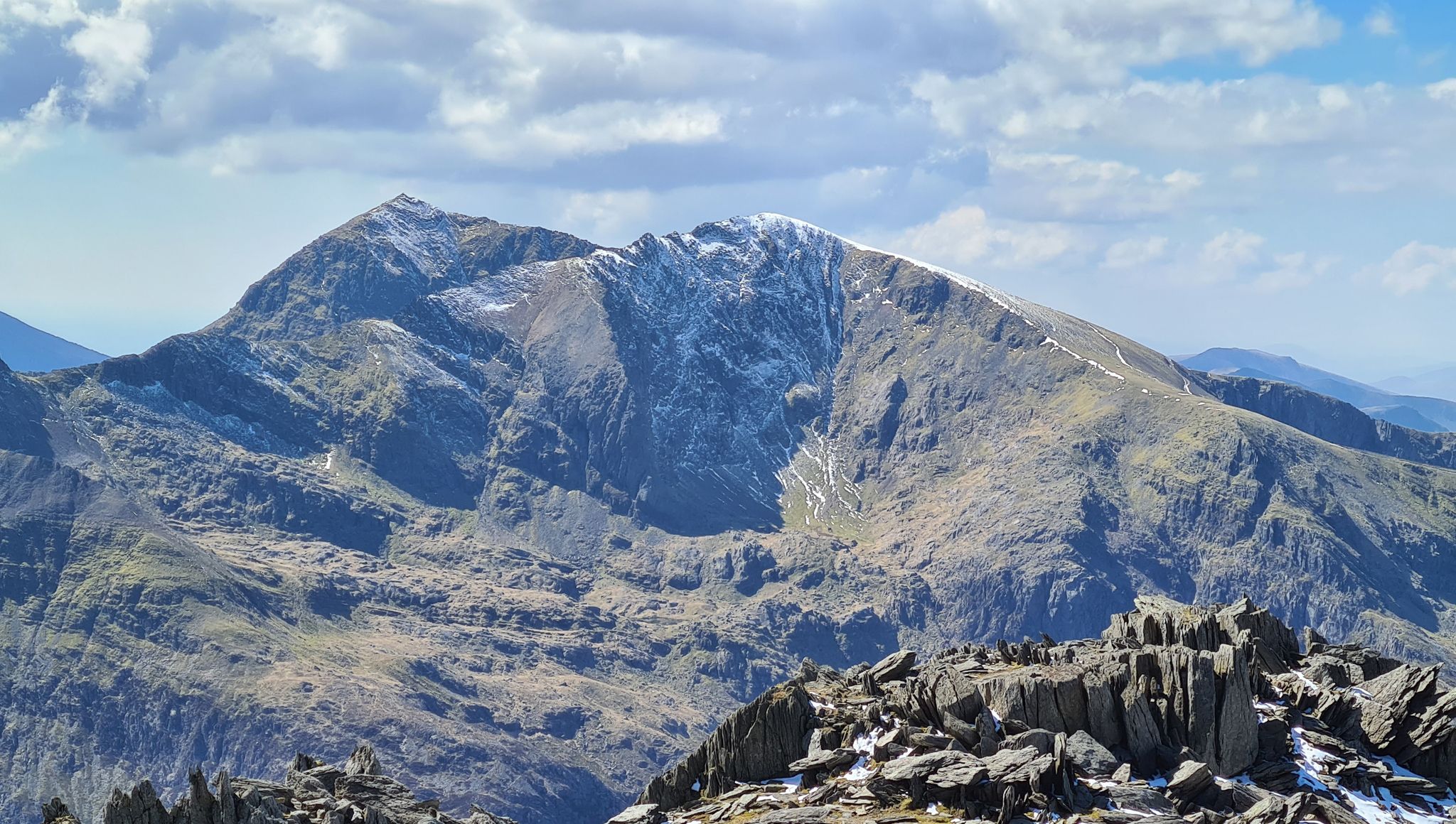
Snowdonia Way Mountain Route – Rise to Eryri's awesome summits
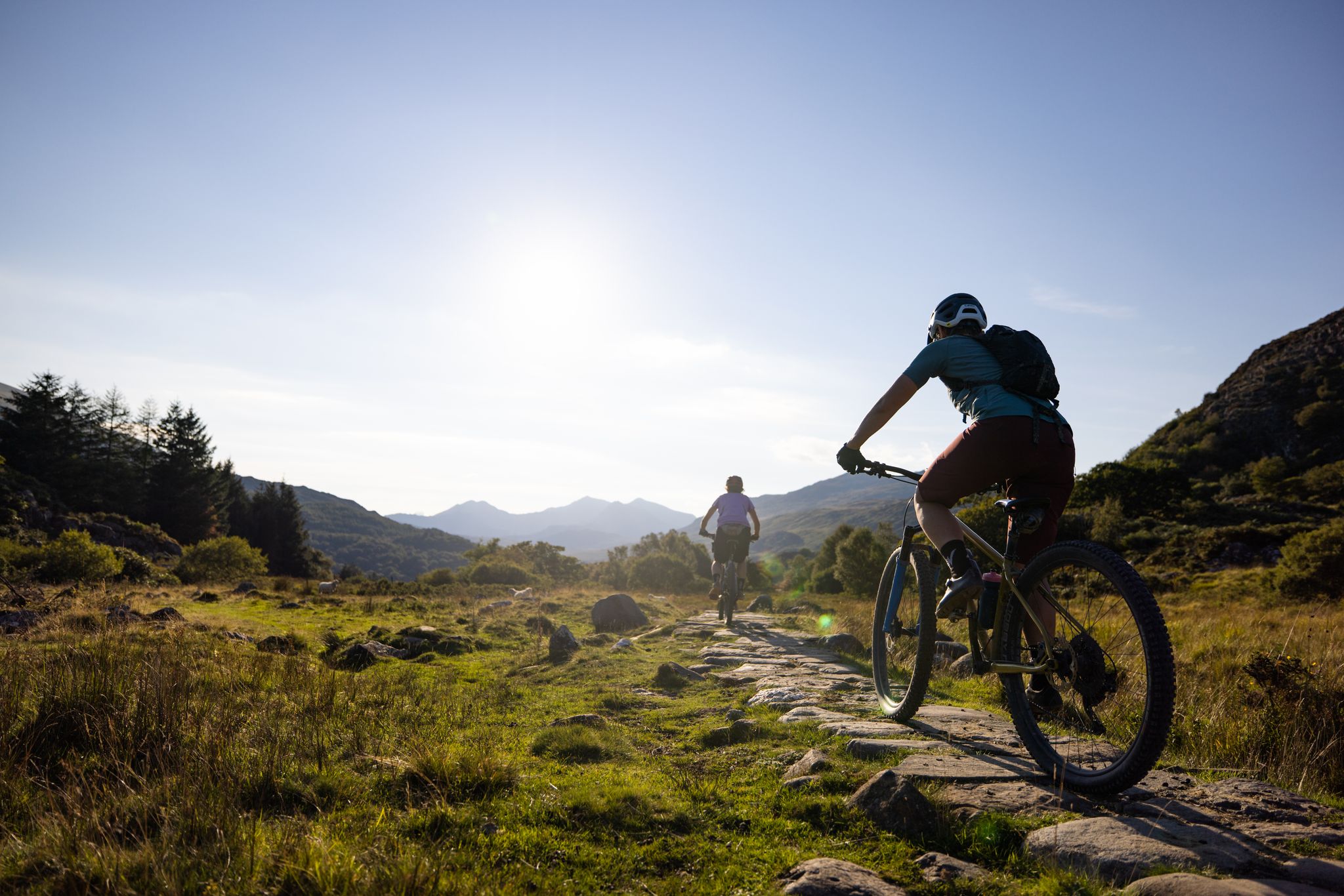
Traws Eryri — Bikepacking Snowdonia from Machynlleth to Conwy
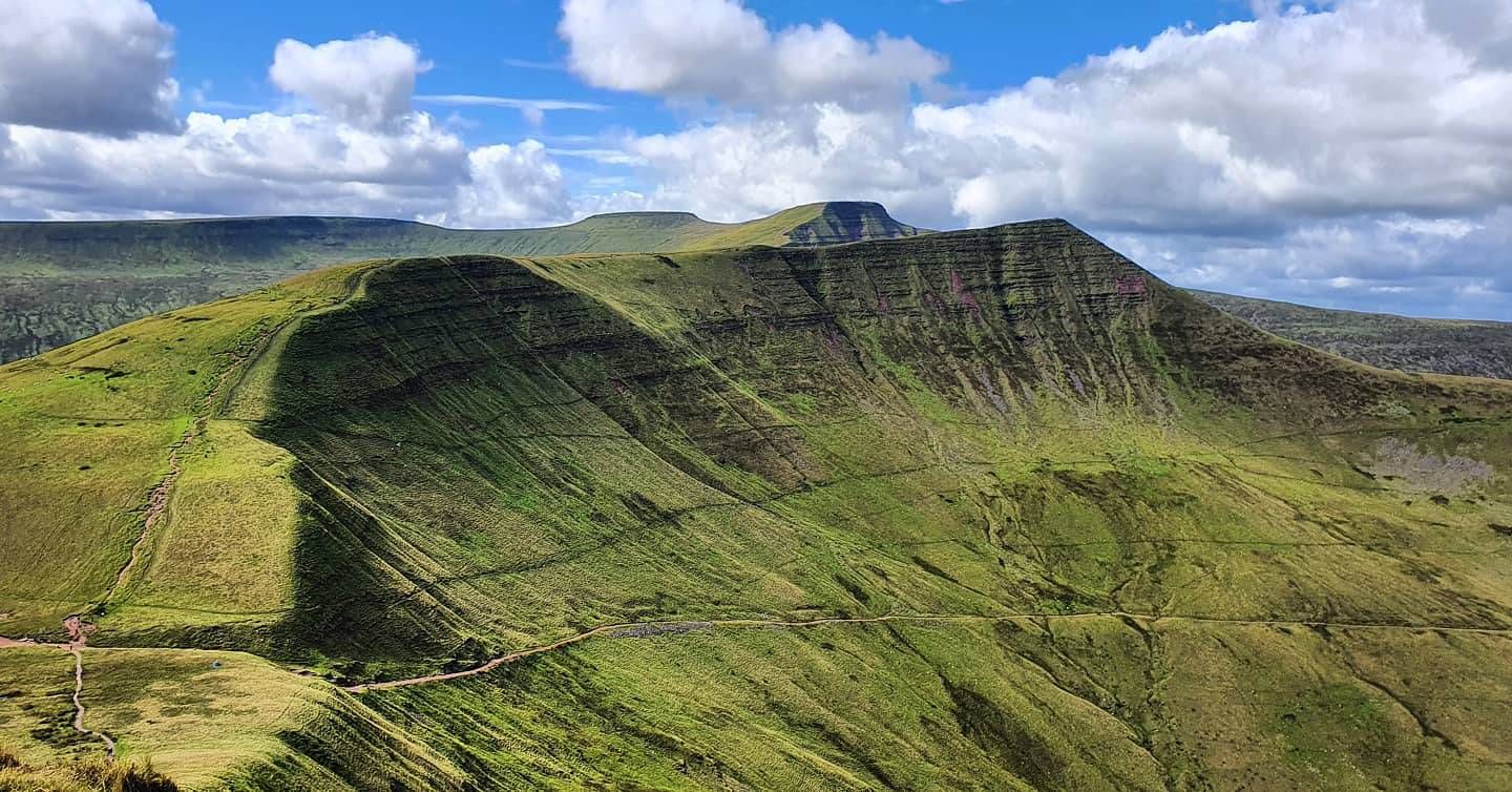
Beacons Way — Hike the high, emerald spine of South Wales
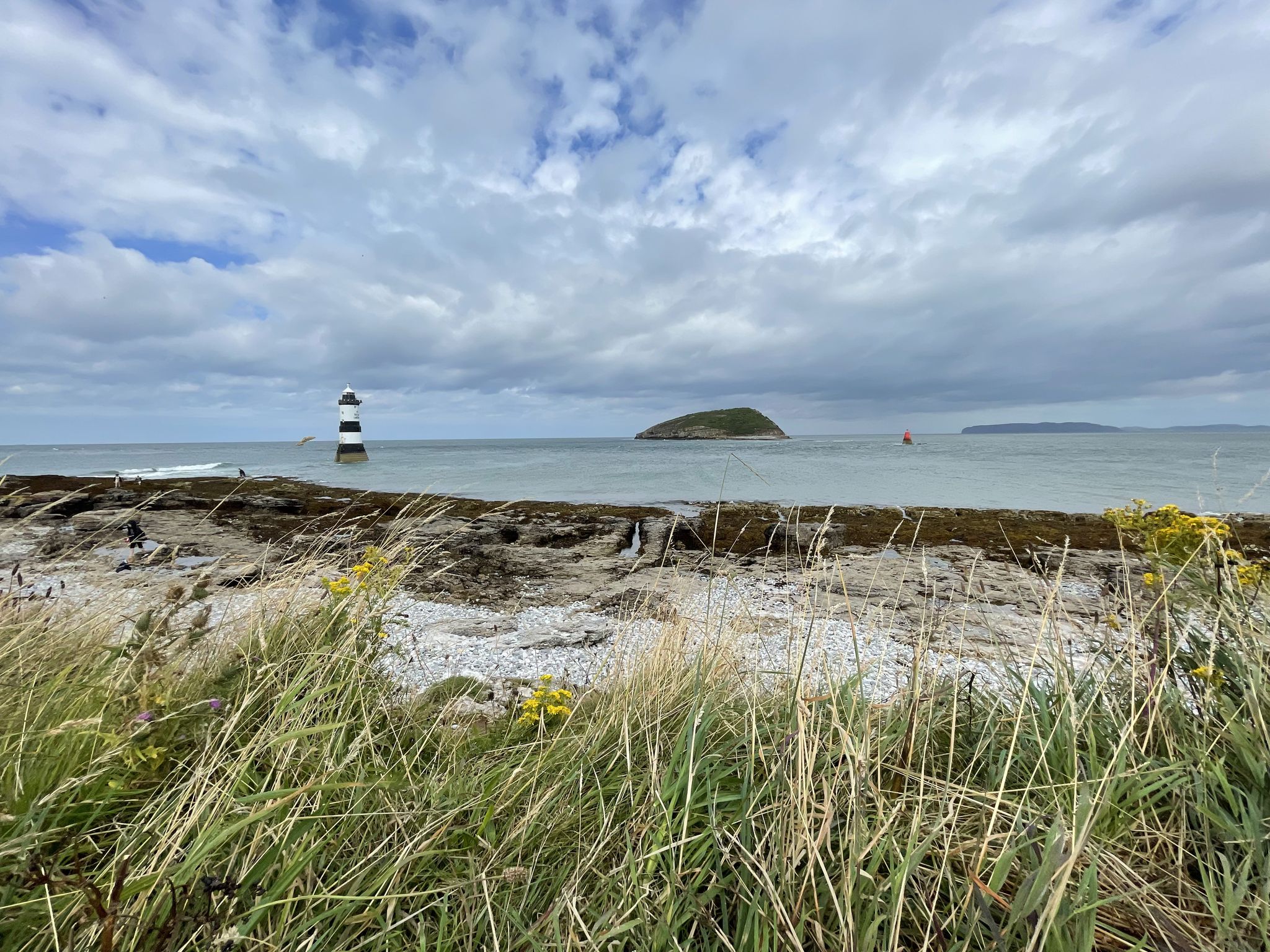
Cycling on Anglesey — in search of the wild on Wales' largest island

Celtic Way — An epic pilgrimage through prehistory and wild beauty

O Fon i Fynwy — Exploring Wales on foot from top to bottom
Other adventures in the Cambrian Mountains


Tips from the Community

Wonderful view of the surrounding hills. The views reward the effort it takes to climb this mountain.
0
0

Just below the rocky summit stands a sturdy stone hut. It is a modern version of a 19th-century hut that became famous through an old lady who climbed to the summit early in the morning and offered a cup of tea (paned o de) to everyone who passed by. "Paned o De" is said to be the name of this shelter. (Snowdonia active)
8
0
According to legend, Cader is named after a giant called Idris Gawr. 'Cadair Idris' means 'Chair of Idris' in English, while 'Cader' can also refer to an ancient fortress. The place is known as Cader Idris rather than Cadair, but both names are used. The most famous local fable is that if you spend the night on the mountain, you will go mad or become a poet. (Visit Wales)
6
0
It is worth the effort. At the top, you enjoy a beautiful view in all directions. It cannot be captured in photos.
6
0
A triangulation station, also known as a trigonometric point, or sometimes informally a trig, is a fixed measurement point used in geodetic surveys and other land surveying projects in the surrounding area. The station is usually established by a cartographic organization with known coordinates and published elevation data. Numerous stations are placed on mountain tops for better visibility and prominence. An engraved metal plate on top of a pillar can serve as a mounting point for a theodolite or reflector, often using a kinematic coupling to ensure reproducible positioning. (Wikipedia)
8
0
This last climb is very difficult due to the many loose stones and rocky ground.
9
0
I don't know if this is a bridle path or not. This is in any case the start of the Rhyd-ddu path to the summit of Snowdon. It starts at the Rhyd-ddu station of the Welsh Highland Railway, where ample paid parking is available.
9
0

If you are lucky enough to get a nice day there are views for miles
0
0
Frequently Asked Questions
How many mountaineering routes are available in the Cambrian Mountains?
The Cambrian Mountains offer over 50 mountaineering routes, catering to various skill levels. You'll find a wide selection, including 20 moderate and 37 difficult trails, ensuring options for both experienced mountaineers and those seeking a strenuous day out.
What kind of landscapes can I expect to see while mountaineering in the Cambrian Mountains?
The Cambrian Mountains, often called the 'Green Desert,' feature remote and expansive upland landscapes. Expect vast moorlands, rolling hills, and deep, glacially sculpted valleys. The region is home to the Pumlumon Massif, with Pumlumon Fawr being the highest peak, offering panoramic views. You'll also encounter numerous rivers, lakes, and waterfalls, contributing to its rugged character.
Are there any routes suitable for beginners or those new to mountaineering?
While many routes in the Cambrian Mountains are challenging, there are options for those new to mountaineering. For example, the Castell Fawr rock formation – Parc Cenedlaethol Eryri loop from Tryfan is a moderate route that offers a good introduction to the region's terrain without being overly strenuous.
What are some notable natural features or landmarks I can see along the routes?
The Cambrian Mountains are rich in natural landmarks. You can explore impressive summits like Snowdon Summit (Yr Wyddfa), Pen y Fan, and Penygadair summit, Cadair Idris. The region also boasts stunning waterfalls such as Sgwd Uchaf Clun-Gwyn Waterfall and Swallow Falls, as well as the unique Devil's Kitchen (Twll Du) gorge.
Are there any circular mountaineering routes in the Cambrian Mountains?
Yes, many mountaineering routes in the Cambrian Mountains are circular. For instance, the challenging Garnedd Ugain Summit – Snowdon Summit loop from Rocky Valley Halt offers a demanding circular experience. Another option is the moderate Corn Du summit – Pen y Fan loop from Neuadd Car Park.
What is the best time of year for mountaineering in the Cambrian Mountains?
The Cambrian Mountains offer rewarding experiences throughout the year, but the best time for mountaineering is typically from late spring to early autumn (May to October) when the weather is generally milder and more stable. During these months, you'll find clearer paths and better visibility for enjoying the panoramic views. Winter mountaineering is possible but requires appropriate gear and experience due to potentially harsh conditions.
What do other mountaineers say about the routes in the Cambrian Mountains?
The mountaineering routes in the Cambrian Mountains are highly rated by the komoot community, with an average score of 4.8 stars from over 80 reviews. Mountaineers often praise the remote wilderness feel, the challenging ascents, and the rewarding vistas from peaks like Pumlumon Fawr. The diverse terrain and sense of solitude are frequently highlighted as key attractions.
Can I find routes that feature waterfalls?
Absolutely. The Cambrian Mountains are known for their beautiful water features. The difficult Cadair Idris Range – Nant Cader Waterfall loop from Cader Idris National Nature Reserve specifically highlights the natural beauty of the Nant Cader Waterfall. You can also find other waterfalls like Sgwd Isaf Clun-Gwyn and Henrhyd Falls in the wider region.
Are there any routes that offer views of multiple peaks?
Yes, several routes provide expansive views across multiple peaks. The challenging Pen Yr Ole Wen – Carnedd Llewelyn Summit loop from Tryfan is an excellent example, allowing you to traverse and view several significant summits within the range.
What kind of wildlife might I encounter while mountaineering?
The diverse habitats of the Cambrian Mountains support a rich array of wildlife. You might spot various bird species, including the iconic red kite, which has seen successful conservation efforts in the region. Other birds like merlin and peregrine falcon are also present. The remote moorlands and woodlands provide a home for many other native species.
Are there any particularly challenging routes for experienced mountaineers?
For experienced mountaineers seeking a significant challenge, the Cambrian Mountains offer several demanding routes. The Tryfan Summit – View of Tryfan loop from Tryfan is a difficult option, as is the Tryfan Scramble – Tryfan Summit loop from Tryfan, both known for their rugged terrain and requiring good navigational skills.
Most popular routes in the Cambrian Mountains
Most popular attractions in the Cambrian Mountains

Get inspired with the komoot mobile app


Explore more
Browse the best Mountain Hikes & Routes in other regions.
