The best cycling routes around Saintes
4.5
(833)
5,699
riders
458
rides
Touring cycling around Saintes offers routes through varied landscapes along the Charente River, marshlands, and vineyards. The region features a mix of flat river paths and gently rolling hills, providing diverse terrain for cyclists. Saintes is situated along the La Flow Vélo route, which connects to other major French cycling itineraries. The area's natural features include the Charente River valley, classified as a Natura 2000 site, and sections of forests and marshlands.
Best touring cycling routes around Saintes
- The most popular touring cycling route is The Seudre Paths, a 37.2 miles (59.8 km) trail that takes 3 hours 33 minutes to complete. This route explores the scenic Seudre estuary and its surrounding landscapes.
- Another top favourite among local touring cyclists is La Flow Vélo: Saintes and Saintonge Loop, a moderate 24.1 miles (38.9 km) path. It follows sections of the Charente River, offering views of historical towns and tranquil river scenery.
- Local touring cyclists also love the Coastal path in Mortagne-sur-Gironde, a 18.9 miles (30.4 km) trail leading through coastal landscapes and marshlands, often completed in about 1 hour 54 minutes.
- Touring cycling around Saintes is defined by river valleys, marshlands, and vineyards. The network offers options for various ability levels, from easy riverside paths to more challenging routes through hilly countryside.
- The routes in Saintes are highly rated by the komoot community with an average score of 4.4 stars from over 750 reviews. More than 5000 touring cyclists have used komoot to explore Saintes's varied terrain.
Last updated: August 17, 2026
4.6
(20)
74
riders
59.8km
03:33
120m
120m
Cycle 37.2 miles (59.8 km) through the Marine natural park of the Gironde Estuary and the Sea of Pertuis, a moderate touring route with dive
4.1
(10)
26
riders
38.9km
02:34
170m
170m
Cycle the La Flow Vélo: Saintes and Saintonge Loop, a moderate 24.1-mile route through historic towns and scenic river landscapes.

Sign up for free
4.8
(4)
14
riders
30.4km
01:54
220m
220m
Moderate bike ride. Good fitness required. Mostly paved surfaces. Suitable for all skill levels.
4.0
(3)
4
riders
43.1km
02:38
230m
220m
Moderate bike ride. Good fitness required. Mostly paved surfaces. Suitable for all skill levels.
5
riders
38.5km
02:13
130m
130m
Moderate bike ride. Good fitness required. Mostly paved surfaces. Suitable for all skill levels.
4.5
(2)
2
riders
90.4km
05:37
360m
360m
Hard bike ride. Very good fitness required. Mostly paved surfaces. Suitable for all skill levels.
71.3km
04:10
310m
310m
Moderate bike ride. Good fitness required. Mostly paved surfaces. Suitable for all skill levels.
4.5
(65)
306
riders
66.1km
04:32
210m
210m
Moderate bike ride. Good fitness required. Mostly paved surfaces. Suitable for all skill levels.
4.6
(44)
269
riders
40.0km
02:48
190m
190m
Moderate bike ride. Good fitness required. Mostly paved surfaces. Suitable for all skill levels.
4.0
(22)
200
riders
146km
09:11
540m
540m
Hard bike ride. Very good fitness required. Mostly paved surfaces. Suitable for all skill levels.
Get access to more routes and recommendations from other explorers.
Sign up for free
Already have an account?
Our route recommendations are based on thousands of hikes, rides, and runs completed by other people on komoot.
Start today with a free account
Your next adventure awaits.
Login or Signup



Tips from the Community

The Chaniers ferry (Charente-Maritime) is one of the last traditional river ferries still in operation in France. It allows crossing the Charente River between Chaniers and Courcoury, a few kilometers downstream from Saintes. A crossing used for centuries History of the Chaniers ferry The ferry crossing at Chaniers is very old: it dates back to the Middle Ages. In the mid-17th century, it was already an important crossing point on the Charente. It was not only used to cross the river: it also allowed residents to access the meadows on the other side, particularly for agricultural activities. In the early 20th century, the Chaniers ferry was part of a much larger network of crossings on the Charente. In 1909, thirteen ferries were still recorded in Charente-Inférieure, including the one in Chaniers. Ferries were essential at the time before the proliferation of bridges. Why "chain ferry"? The principle consists of holding the ferry on a chain connecting the two banks. The ferryman uses this chain to move the boat forward and keep it on its course despite the current. In Chaniers, the current ferry is motorized, unlike the ferry in Dompierre-sur-Charente, which is operated manually. The Tourist Office, however, still describes it as a "chain ferry," and the municipality as the traditional crossing method connecting Chaniers to Courcoury. The ferry today The crossing takes place between Le Communal in Chaniers and the Courcoury bank. It is free and can transport pedestrians, cyclists, and motorized vehicles. Its operation depends in particular on the flow of the Charente River. The municipality of Chaniers officially presents "the port of Chaniers and its chain ferry" as an element of its local heritage. Important point: I am correcting my previous message: the Chaniers ferry is not simply a "19th-century ferry." The crossing has been attested since the Middle Ages; it is its mode of operation and its equipment that have evolved over the centuries.
0
0
🏛️ Construction: 18-19 AD The arch was built around 18-19 AD, during the reign of Emperor Tiberius. It stood at the entrance to the Roman bridge crossing the Charente, at the outlet of the Via Agrippa, which connected Lyon to Saintes. It is therefore not truly a "triumphal arch": it was both a road monument and a monumental gate marking the entrance to Mediolanum Santonum, the capital of Roman Aquitaine. 👤 Who had it built? The arch was financed by Caius Julius Rufus, a Romanized notable from Saintonge. He dedicated it to Tiberius as well as his nephew Germanicus. The inscriptions engraved on the entablature still allow us today to know the figures to whom it was dedicated. The name "Arch of Germanicus" therefore comes from this dedication, and not from the fact that Germanicus personally had the arch built or crossed it. 🏗️ A rather exceptional monument The arch has two bays, likely allowing for the differentiation of traffic flows. It measures approximately 15 m high by 16 m wide. Its Corinthian and composite capitals bear witness to particularly meticulous Roman architecture. It constituted a true demonstration of the power and Romanization of Saintes. ⚠️ The moment the arch almost disappeared This is probably the most interesting episode in its history. For centuries, the arch was always located at the level of the Roman bridge and then the medieval bridge, on the right bank of the Charente. In the 19th century, the old bridge had become dilapidated. When it was decided to demolish it, around 1843, the arch was also threatened with destruction. It was then that Prosper Mérimée, Inspector General of Historical Monuments, intervened. He advocated for its preservation and arranged for its dismantling, relocation, and reassembly on the new bank. Another figure is also associated with this preservation: Victor Hugo, who stayed in Saintes in September 1843 and intervened in favor of the monument's conservation with Mérimée. 📍 Why is the arch no longer exactly in its ancient location? The arch we see today, on Place Bassompierre, is therefore no longer in its original location. It was moved a few dozen meters during the transformation of the quays and the disappearance of the old bridge. It was dismantled stone by stone and then reassembled in order to preserve it. It is now located in the immediate vicinity of the ancient Roman bridge crossing. 🏛️ Protection The Arch of Germanicus was finally classified as a historical monument in July 1905. An interesting detail The Crazannes quarries, located near Saintes, supplied a limestone widely used in the region's ancient constructions. Crazannes stone was notably used for monuments such as the Arch of Germanicus. In summary: 18-19 → construction of the arch at the entrance to the Roman bridge ↓ Antiquity → Middle Ages → the arch remains associated with the crossing of the Charente ↓ 1843 → demolition of the old bridge and threat to the arch ↓ 1843-1844 → Mérimée's intervention and relocation of the arch ↓ 1905 → classified as a Historical Monument
0
0

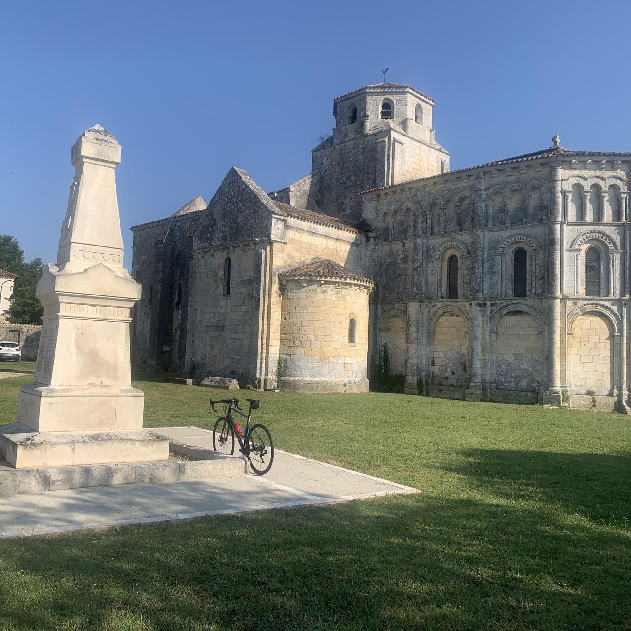
For this nature and its church
0
0
Very nice walk or bike ride
0
0

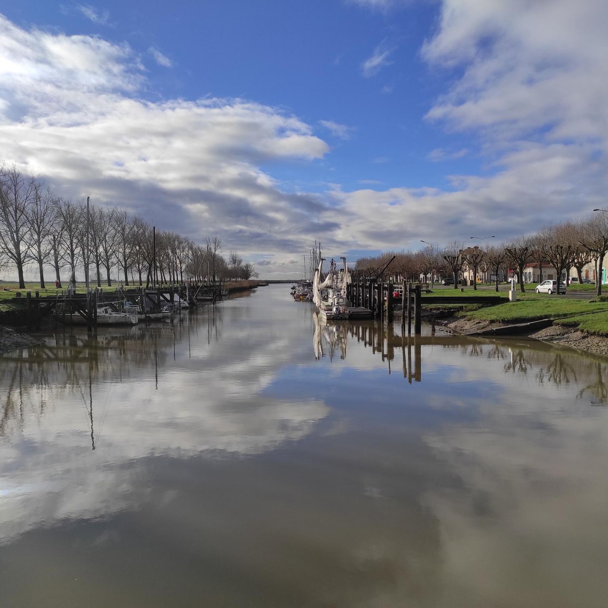
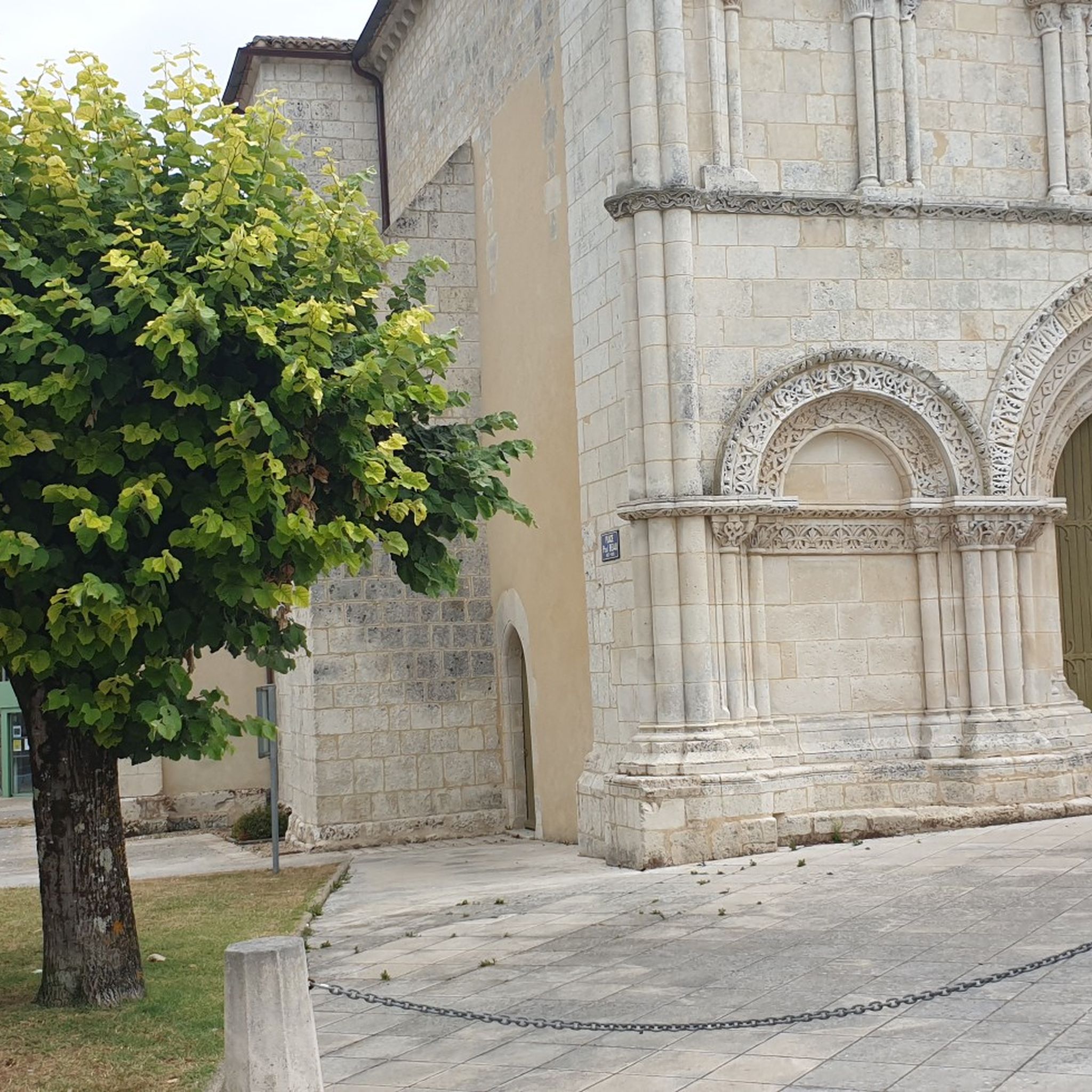
Very beautiful Romanesque church and small port.
0
0

Sometimes the church is open.
0
0

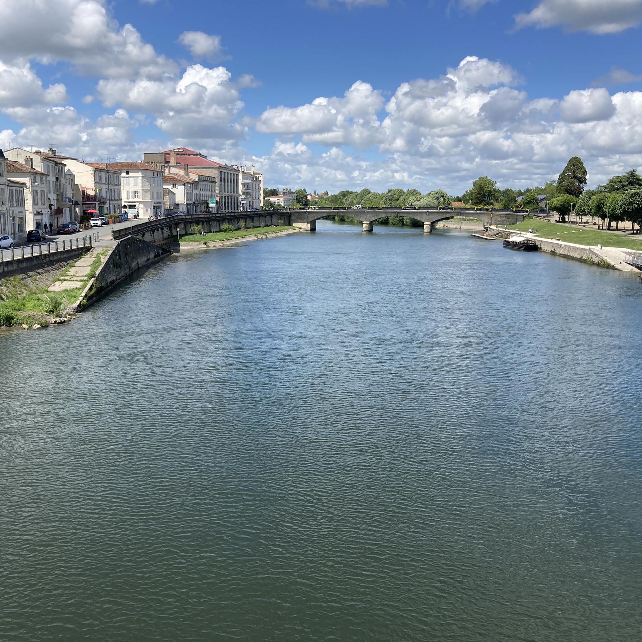
beautiful passages along the Charente with pretty monuments and small waterfront cafés in Port d’Envaux and Saintes.
0
0

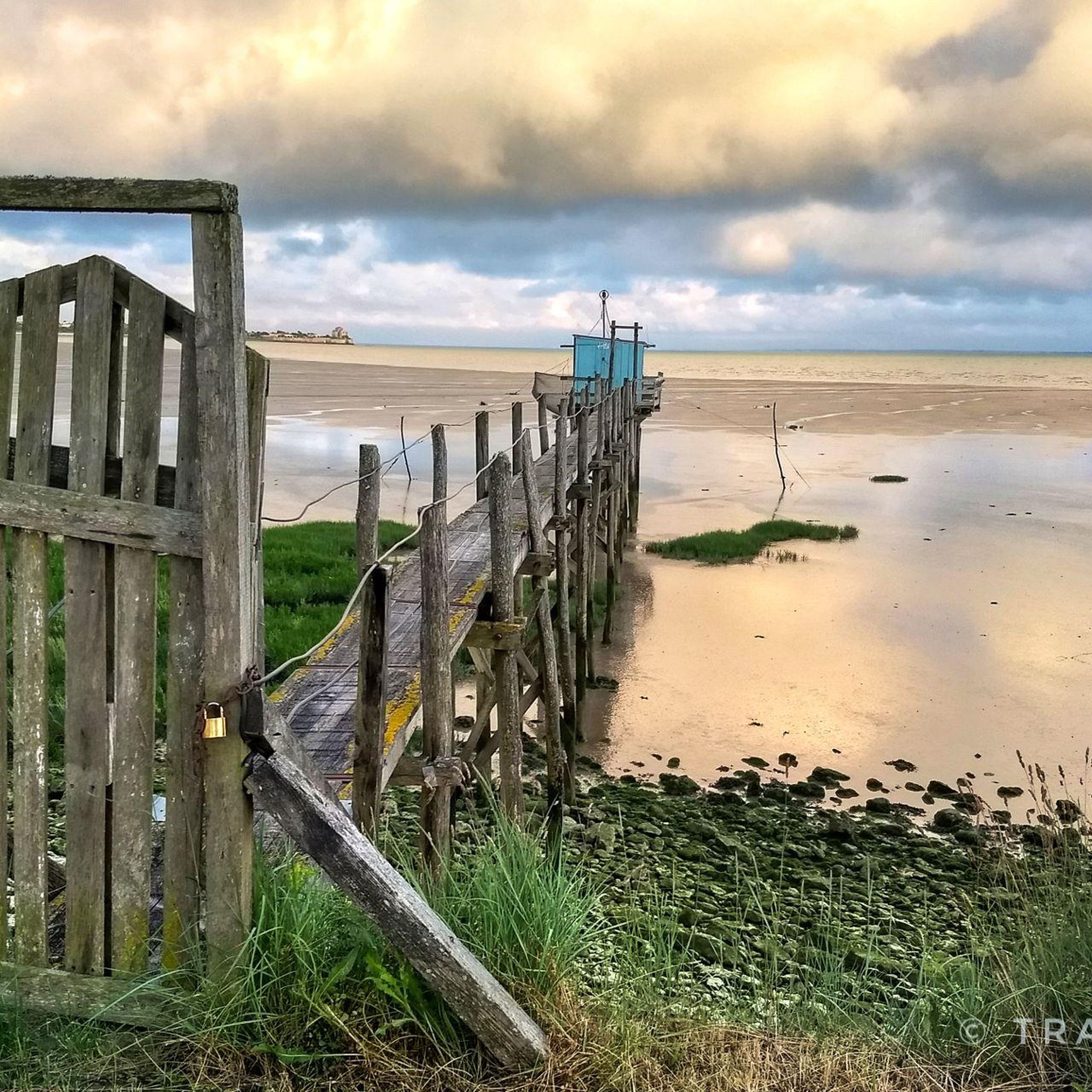
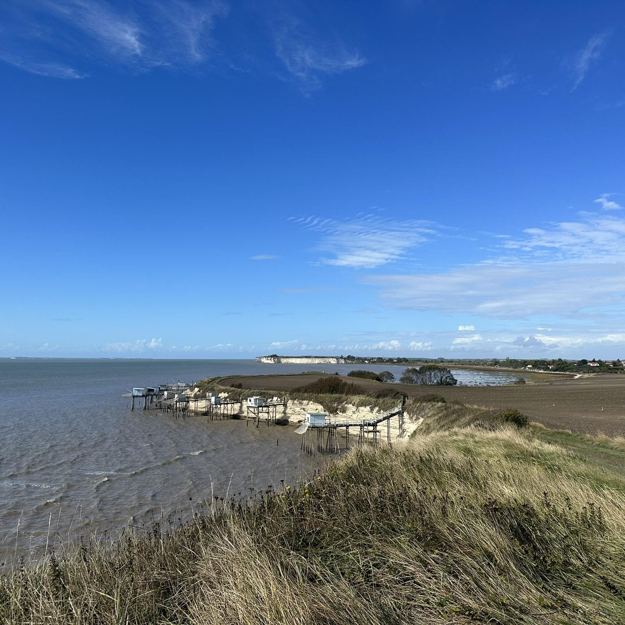
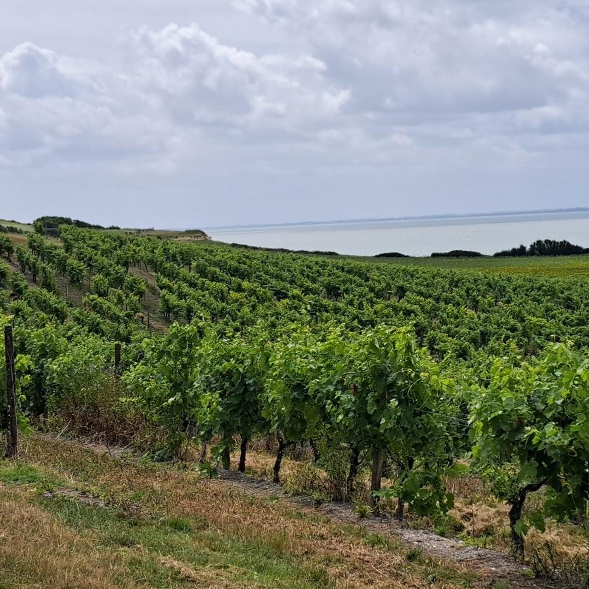
From the height of the coastal plateau the view reaches to the Gironde estuary, and the white cliffs of Pilou, with the tradition fishing huts on stilts (carelets).
1
0
Frequently Asked Questions
How many touring cycling routes are available around Saintes?
Saintes offers a wide selection of touring cycling routes, with over 440 options recorded on komoot. These routes cater to various preferences, including over 200 easy routes, 170 moderate routes, and 60 more challenging options.
What kind of landscapes can I expect to see while cycling around Saintes?
The region around Saintes provides a diverse cycling experience, featuring the tranquil Charente River valley, extensive marshlands, and picturesque vineyards. You'll also encounter sections of forests and gently rolling hills, offering varied scenery throughout your ride. The Charente River valley itself is a protected Natura 2000 site, known for its ecological importance.
Are there family-friendly touring cycling routes in Saintes?
Yes, many sections of the La Flow Vélo, which passes through Saintes, are designed to be family-friendly with secure paths. These routes often follow the Charente River, providing easy and scenic rides suitable for all ages. An example of a moderate route that follows the river is La Flow Vélo: Saintes and Saintonge Loop.
What historical sites or attractions can I visit along the cycling routes?
Saintes is rich in history, and many routes pass by significant sites. You can explore Gallo-Roman and medieval heritage, including the Roman Amphitheatre and the Arch of Germanicus. The Loop around Crazannes, its Castle and the stone sculptures, for instance, takes you near Crazannes Castle and the Pole Nature de Crazannes, a former quarry with nature reserves and sculptures. Other highlights include Abbaye de Fontdouce.
Are there any circular touring cycling routes around Saintes?
Yes, there are several circular routes available for touring cyclists. For example, the Loop to visit 3 churches from Pisany offers a moderate 38.5 km ride, allowing you to start and finish at the same point while exploring local heritage. Another option is the Crazannes Sculptures – Crazannes Castle loop from Crazannes.
What is the best time of year to go touring cycling in Saintes?
Spring and autumn are generally the most pleasant seasons for touring cycling in Saintes. The weather is typically mild, and the landscapes are vibrant, whether with spring blossoms or autumn colors. The summer months can be warm, but riverside routes offer refreshing breezes.
Can I combine cycling with other activities on the Charente River?
Absolutely! The Charente River is central to outdoor recreation in Saintes. You can enjoy river cruises, or hire electric boats, canoes, kayaks, or paddleboards. Notably, the electro-solar boat Bernard Palissy III is equipped to accommodate bicycles, allowing for unique bike and boat excursions.
What do other touring cyclists say about the routes in Saintes?
The touring cycling routes around Saintes are highly regarded by the komoot community, holding an average rating of 4.4 stars from over 750 reviews. Cyclists often praise the varied terrain, from easy riverside paths to more challenging routes through hilly countryside, and the well-maintained sections of the Flow Vélo.
Are there longer touring cycling routes for more experienced cyclists?
Yes, Saintes serves as an excellent base for longer tours. The La Flow Vélo itself is a 400 km route, and it connects with major French cycling itineraries like La Scandibérique (EuroVelo 3) and La Vélodyssée. For a challenging day trip, consider the Loop around Crazannes, its Castle and the stone sculptures, which is over 90 km long.
Are there routes that explore the coastal areas near Saintes?
Yes, some routes venture towards the coast, offering a different landscape experience. The Coastal path in Mortagne-sur-Gironde is a moderate 30.4 km trail that leads through coastal landscapes and marshlands. Another option is the Tour de Cozes on the coast - with pump track deviation.
What natural features or viewpoints can I discover along the routes?
Beyond the Charente River valley, you can explore diverse natural features. The region includes marshlands like the Talmont marshes and Seugne Marsh, as well as forests and vineyards. Within Saintes, the 120-hectare protected Prairie de la Palu offers a wild green space. You might also encounter highlights such as Caillaud cliff at Talmont sur Gironde or Suzac Forest.
Can I access the cycling routes using public transport?
While specific public transport connections directly to trailheads are not extensively detailed, Saintes is a well-connected city. The mention of the Bernard Palissy III electro-solar boat accommodating bicycles on the Charente River suggests opportunities for combining boat travel with cycling, especially along the Flow Vélo. For detailed local public transport information, it's best to consult local Saintes tourism resources.
Most popular routes around Saintes
Most popular attractions around Saintes

Get inspired with the komoot mobile app


Didn’t find what you were looking for?
Check out more Cycling routes throughout Saintes below and find the perfect route in your destination.
Explore more
Browse the best Cycling routes in other regions.
