Saint-Michel-De-Maurienne
Saint-Michel-De-Maurienne
Top 14 Mountain Passes around Saint-Michel-De-Maurienne
Mountain passes around Saint-Michel-De-Maurienne are a central feature of the Maurienne Valley, a region known for its concentration of mountain passes in the French Alps. This area serves as a gateway to challenging routes, many of which are frequently featured in major cycling events. The terrain offers varied ascents and descents, attracting cyclists and drivers seeking alpine experiences.
Best mountain passes around Saint-Michel-De-Maurienne
- The most popular mountain pass is Col du Télégraphe, a mountain pass that serves as the…
Last updated: May 14, 2026
Col du Télégraphe
Highlight • Mountain Pass
Translated by Google •
Tip by

Ascent to the Col du Télégraphe from Saint-Michel-de-Maurienne
Highlight (Segment) • Climb
Translated by Google •
Tip by

Sign up now to discover places like this
Get recommendations on the best single tracks, peaks, & plenty of other exciting outdoor places.
Sign up for free
Ascent of the Col de Tougnète from Les Ménuires
Highlight (Segment) • Mountain Pass
Translated by Google •
Tip by

Col du Sapey
Highlight (Segment) • Mountain Pass
In my opinion, more suitable as a descent than as …
Translated by Google •
Tip by

Ascent to Col du Galibier from Saint-Michel-de-Maurienne
Highlight (Segment) • Mountain Pass
Translated by Google •
Tip by
Sign up for free to discover even more mountain passes around Saint-Michel-De-Maurienne.
Sign up for free
Already have an account?
Start today with a free account
Your next adventure awaits.
Login or Signup
Popular around Saint-Michel-De-Maurienne
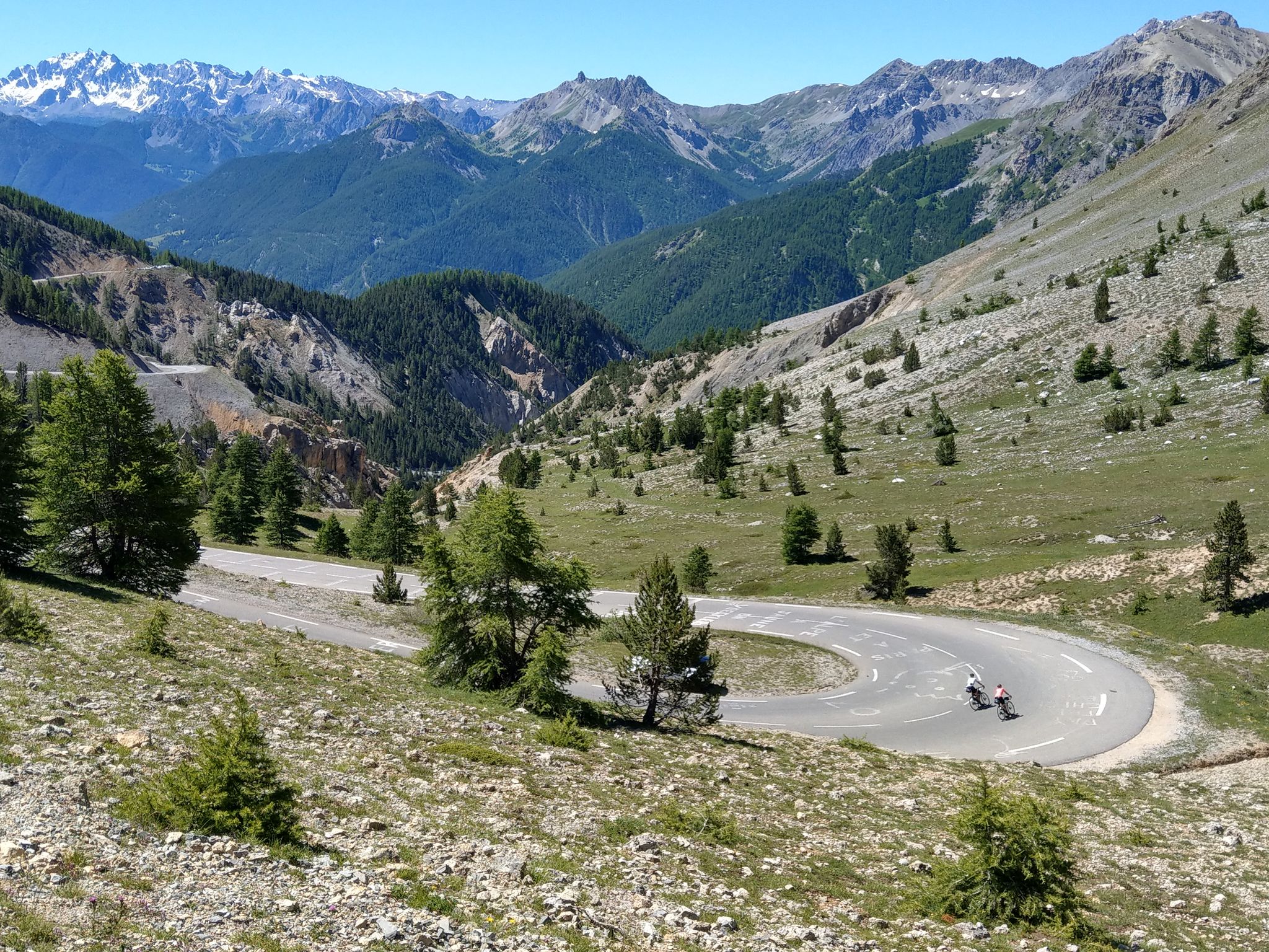
Route des Grandes Alpes – in 6 days from Evian to Nice
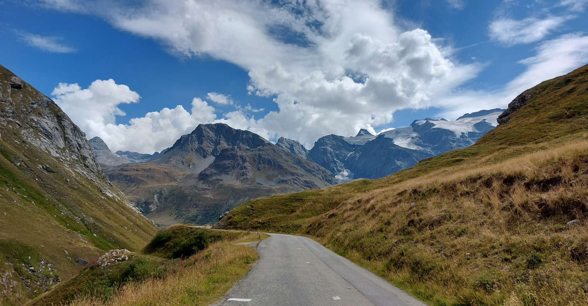
Briançon to Aosta – travelling across the Alps (part 2)
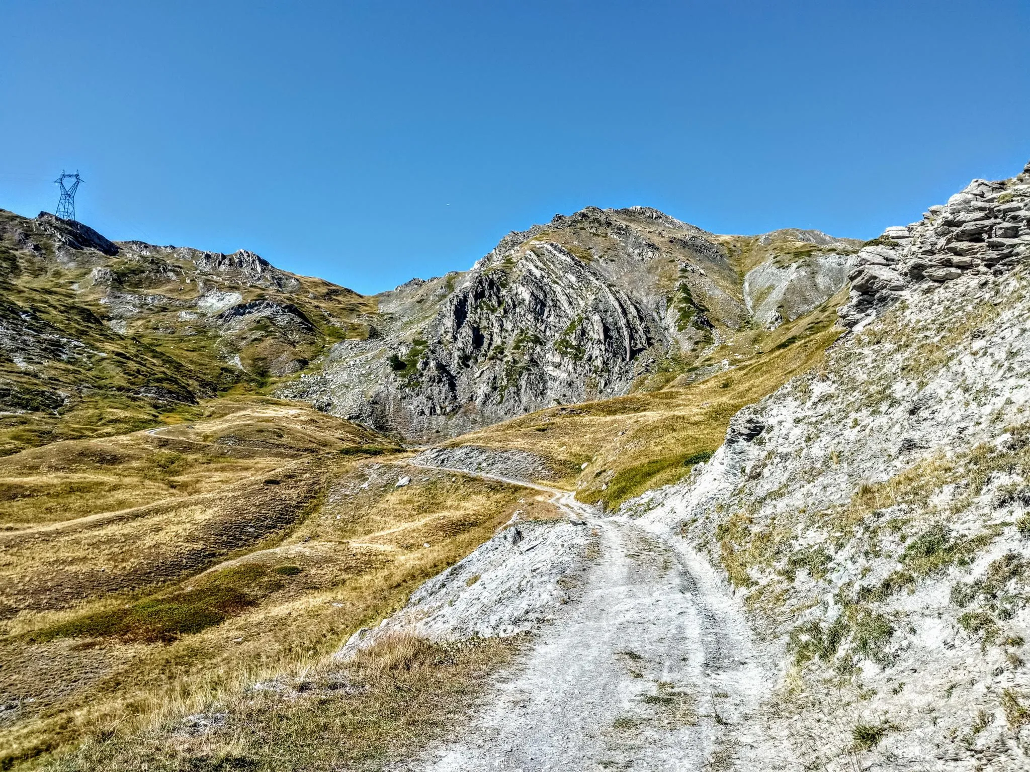
Between valleys and peaks – Ultra Gravel Tour des Alpes
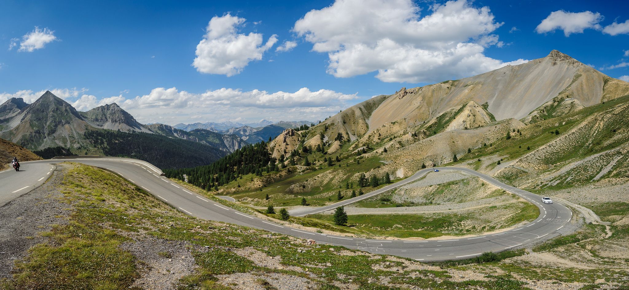
From Thonon to Menton — the great crossing of the French Alps
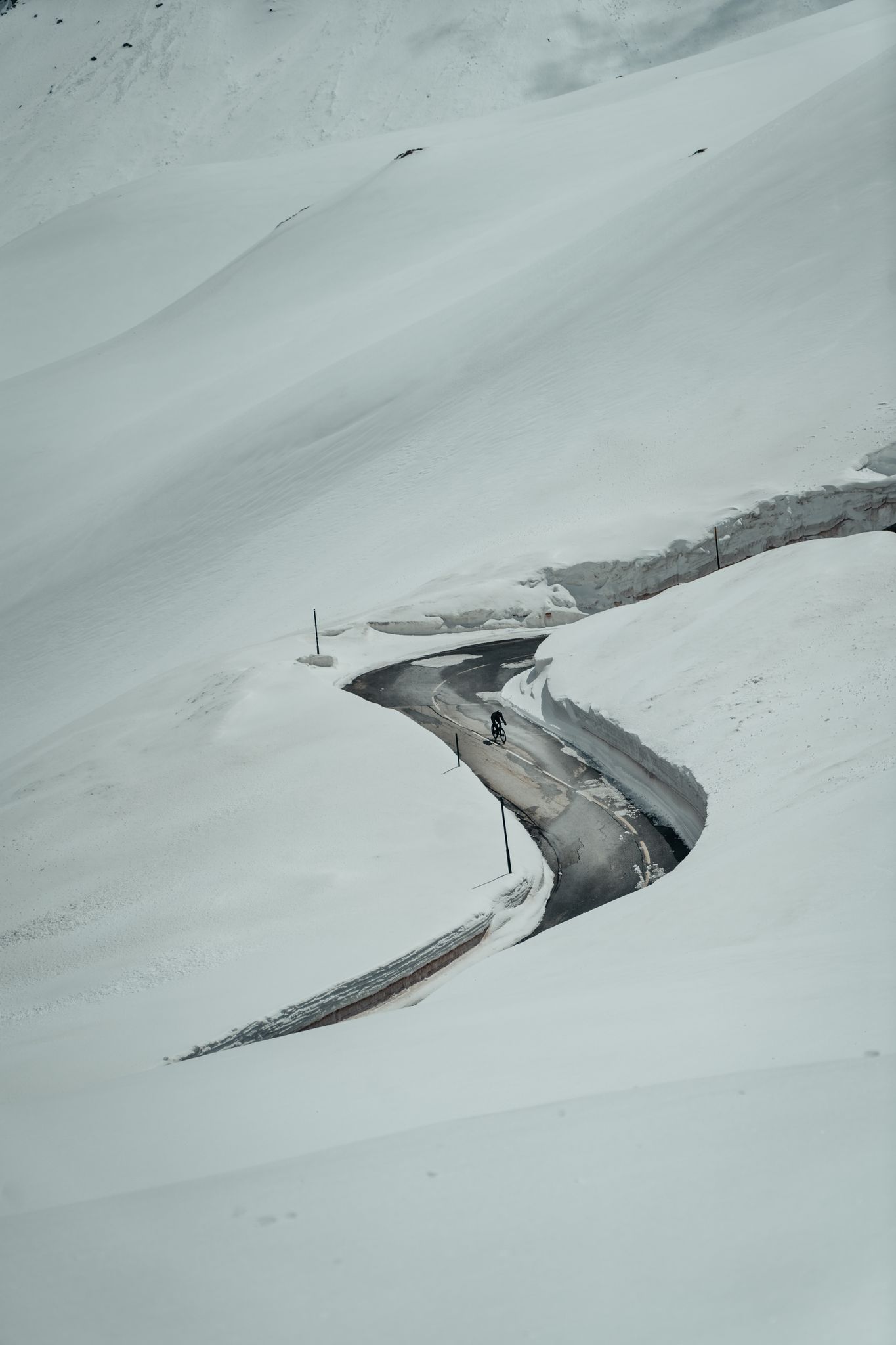
Finding the last bits of snow — early spring riding in the Alps
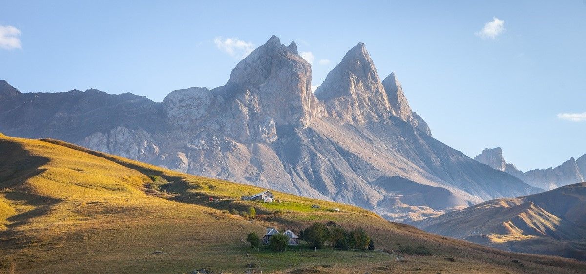
France’s breathtaking Alpine world — road bike routes around Maurienne
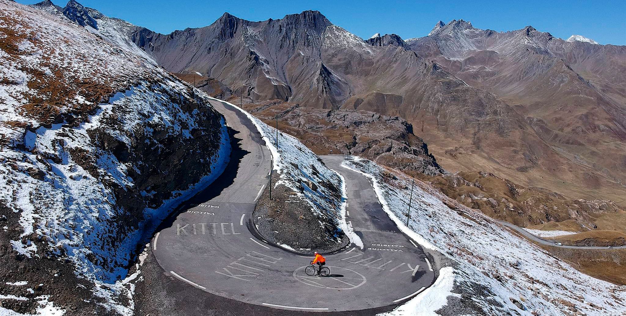
Tracing the Tour de France – spectacular passes in the Auvergne-Rhône-Alps
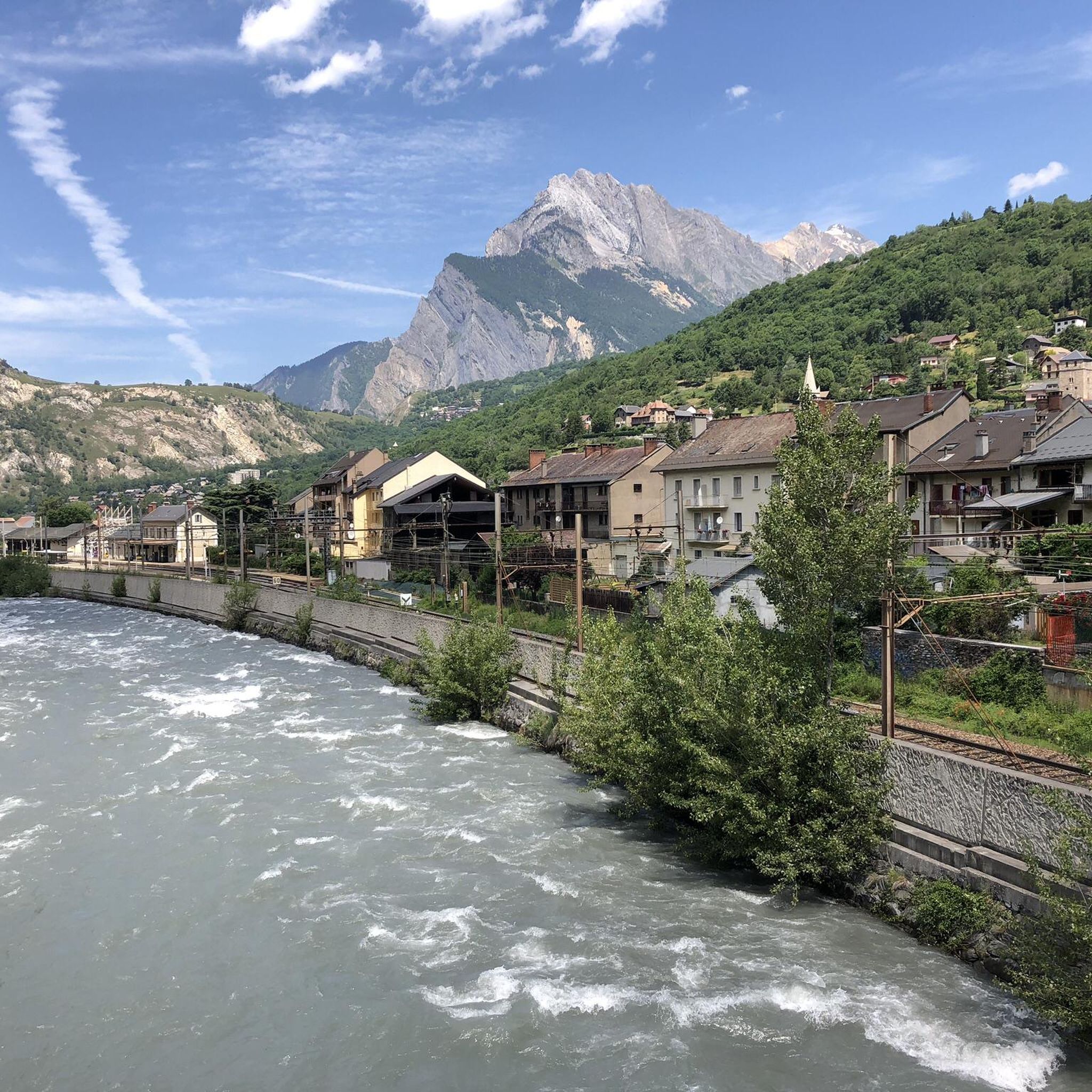
Road Cycling Routes around Saint-Michel-De-Maurienne
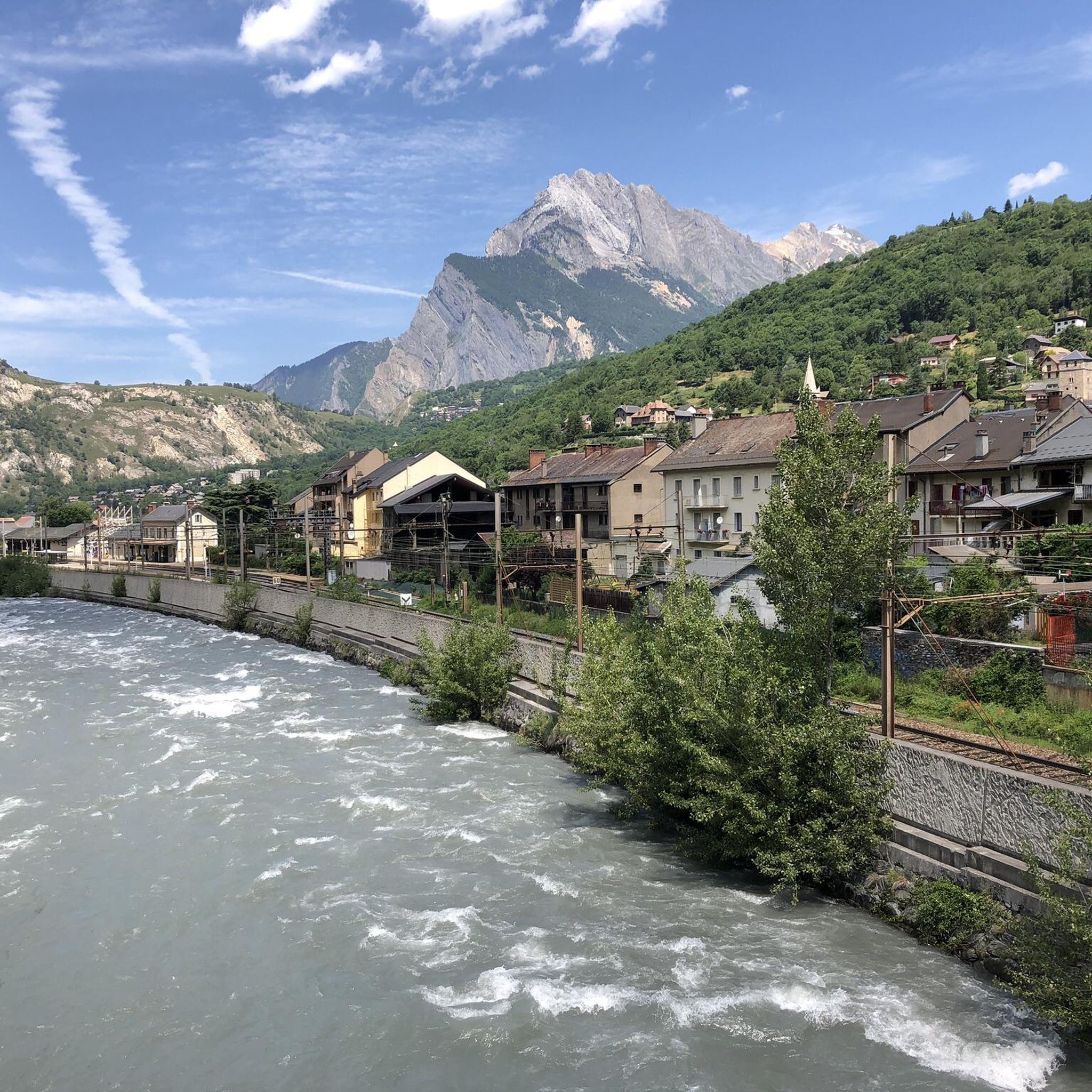
Cycling around Saint-Michel-De-Maurienne
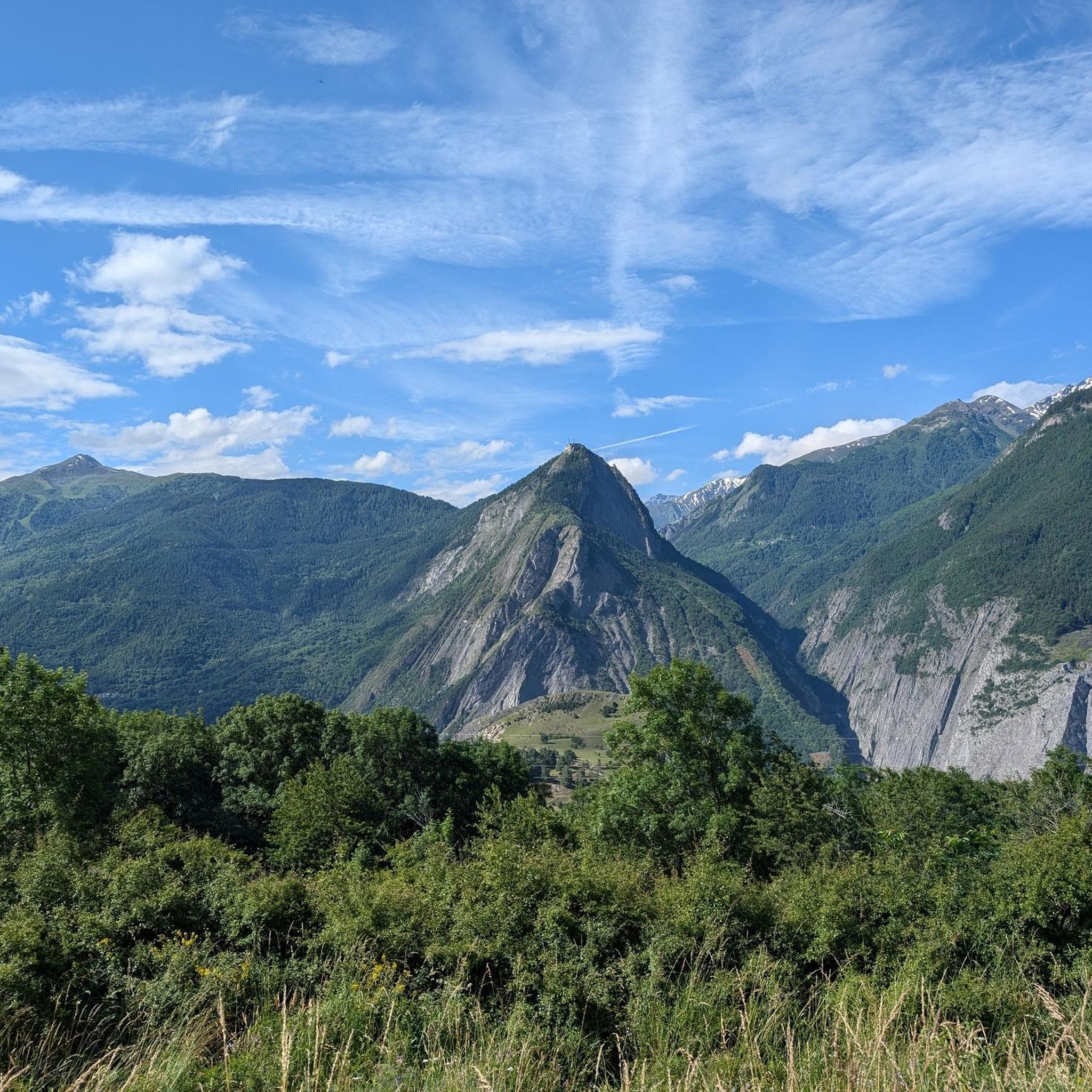
MTB Trails around Saint-Michel-De-Maurienne
Other adventures around Saint-Michel-De-Maurienne


Tips from the Community

Even more beautiful downhill
2
0

I must say that this climb is no joke with its gradients, very beautiful.
19
0
After the Galibier, if that's not enough for you, you can also get the Tèlègraphe.
20
1
A very long climb with very challenging sections. Of course, the view is breathtaking.
15
0

Dream climb. Beautiful!
0
0

To experience despite the difficulty, a must for cyclists...
0
0

A legendary pass in the Tour de France, located at an altitude of 2,642 meters, it has been the highlight of many editions. Starting from Saint-Michel-de-Maurienne and including the preliminary climb to the Col du Télégraphe, it is a 35-kilometer climb. More than just a climb, it is a true journey for cycling fans.
1
0

The Col de Tougnète is a new challenge that was created during the summer of 2022 in the Vanoise massif in the heart of the "Three Valleys." The access road was built on the same principle as the Col de la Loze (which is a short distance away) by paving a ski slope in the Les Ménuires ski area. Unlike the Col de la Loze, the Col de Tougnète only offers one slope. The "cycle" path is, of course, closed to motorized vehicles. From the entrance to the Les Ménuires resort (alt. 1,732 meters), it's a "short" climb of 8.350 kilometers, offering 699 meters of elevation gain at an average of... 8.5%!
1
1
Frequently Asked Questions
Which mountain passes are most popular with visitors around Saint-Michel-De-Maurienne?
The region boasts several highly-regarded mountain passes. Among the most popular is Col du Télégraphe, which serves as a crucial initial section for the ascent to the Col du Galibier. Visitors also appreciate Col du Sapey for its winding roads and great views. The community has shared over 220 photos and given more than 670 upvotes for the mountain passes in this area.
What makes the mountain passes around Saint-Michel-De-Maurienne unique?
The Maurienne Valley, where Saint-Michel-De-Maurienne is located, is renowned as the 'largest mountain cycling area in the world.' Many of its passes, such as the Col du Galibier and Col de l'Iseran, are legendary climbs frequently featured in the Tour de France. This concentration of challenging and iconic routes, combined with spectacular high-alpine scenery, makes the area a prime destination for cyclists and scenic drivers.
How challenging are the mountain passes near Saint-Michel-De-Maurienne?
The passes offer a range of challenges, from steady climbs to very steep sections. Many are considered difficult or 'Hors Catégorie' climbs, with significant elevation gains and gradients. For instance, the Ascent to Col du Galibier from Saint-Michel-de-Maurienne is a very long climb with challenging sections, while the Col du Glandon is known for its very steep final kilometers and numerous hairpin turns.
What kind of scenery can I expect on the mountain passes?
You can expect spectacular and varied landscapes. Passes like the Col du Galibier offer exposed high alpine terrain above 2,000 meters. The Col de l'Iseran provides magnificent views of Val-d'Isère and the Maurienne valley. The Col du Mont Cenis features a large alpine lake at its summit, offering an exceptional panorama. Other passes, like the Col du Télégraphe, are well-sheltered by forests, providing a different kind of scenic beauty.
Are there any particularly high-altitude passes in the region?
Yes, the region is home to some of the highest passes in the Alps. The Col de l'Iseran is the highest paved mountain pass in the Alps, reaching an altitude of 2,770 meters. The Col du Galibier is another legendary high-altitude pass at 2,642 meters, offering breathtaking views from its summit.
What is the best time of year to visit the mountain passes around Saint-Michel-De-Maurienne?
Most mountain passes in the French Alps are generally open from late May or early June to early October, depending on snowfall. The Col de l'Iseran, for example, is typically open during this period and is traditionally the last pass in Savoie to be cleared of snow. During winter months, many passes, including the Col de la Madeleine, are closed.
Are there any passes with historical significance?
Absolutely. The Col du Galibier has a rich history, first crossed by the Tour de France in 1911, solidifying its legendary status. The Col du Télégraphe takes its name from a fort built between 1885 and 1893. The Col du Mont Cenis, located on the border with Italy, is historically known as an important passageway through the Alps, offering a unique historical perspective on Alpine crossings.
What outdoor activities can I do near these mountain passes?
The area is a hub for outdoor enthusiasts. Besides cycling the famous passes, you can find numerous hiking and mountaineering opportunities. For hiking, explore routes like the 'Lac Blanc – Lac Peclet loop from Val Thorens' or the 'Col du Télégraphe loop from Col du Télégraphe'. You can find more details on these and other trails in the Mountain Hikes around Saint-Michel-De-Maurienne guide. For road cycling, routes like the 'Col du Galibier – Itinéraires pour vélo de route en Maurienne' are available in the Road Cycling Routes around Saint-Michel-De-Maurienne guide.
Are there specific routes for cyclists looking to tackle the Col du Galibier?
Yes, a classic approach is the Ascent to Col du Galibier from Saint-Michel-de-Maurienne. This route, which includes the preliminary climb to the Col du Télégraphe, is a 35-kilometer journey and is considered a true pilgrimage for cycling fans. The north side of the climb is often described as tougher and more beautiful, offering the biggest bottom-to-top altitude gain of any cycling climb in France.
What is the Col de la Croix de Fer known for?
The Col de la Croix de Fer is renowned for its natural beauty and is a favorite among cyclists and mountain sports enthusiasts. It offers 360-degree views, especially when combined with the nearby Col du Mollard. It's a significant pass connecting the Maurienne and Oisans valleys and is frequently part of major cycling races.
Can you tell me more about the Col du Mont Cenis?
The Col du Mont Cenis is unique as it sits on the border between France and Italy, linking the Maurienne valley in France to the Susa valley in Italy at 2,083 meters. The French side is considered an easier, yet beautiful, climb, culminating in views of a large alpine lake at the summit. It's historically significant as an important Alpine passageway.
What do visitors enjoy most about the mountain passes around Saint-Michel-De-Maurienne?
Visitors frequently highlight the stunning scenery, the challenge of the climbs, and the sense of accomplishment. Many appreciate the well-maintained roads and the rich history associated with passes like the Col du Galibier. The opportunity to cycle legendary Tour de France routes and experience the high-alpine environment is a major draw, with many describing it as an 'unforgettable experience' and a 'true journey'.
Most popular routes around Saint-Michel-De-Maurienne
Most popular attractions around Saint-Michel-De-Maurienne

Get inspired with the komoot mobile app


Explore more
See even more epic mountain passes by checking out these guides around Saint-Michel-De-Maurienne:
