The best mountain hikes around Saint-Michel-De-Maurienne
5.0
(1)
14
hikers
5
hikes
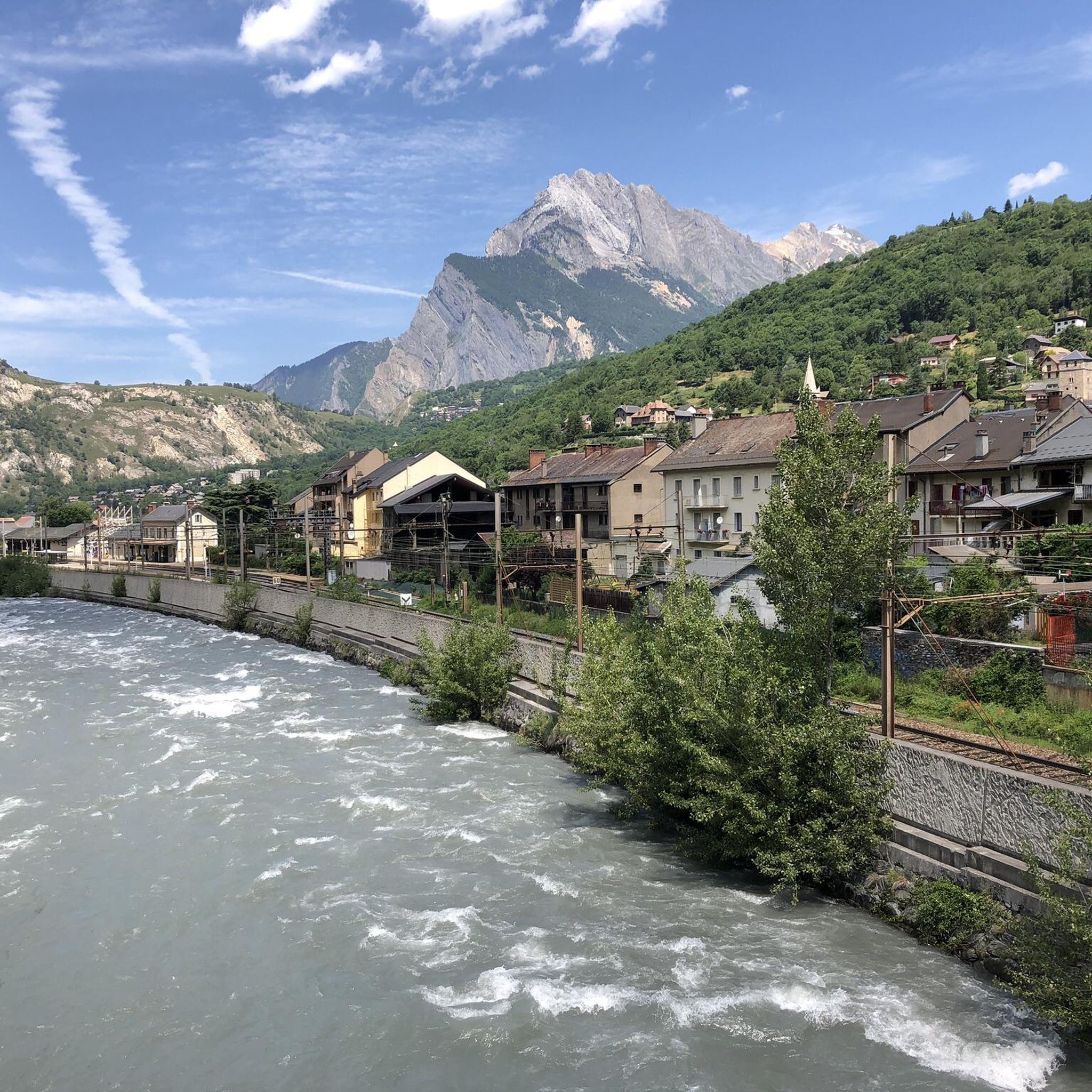
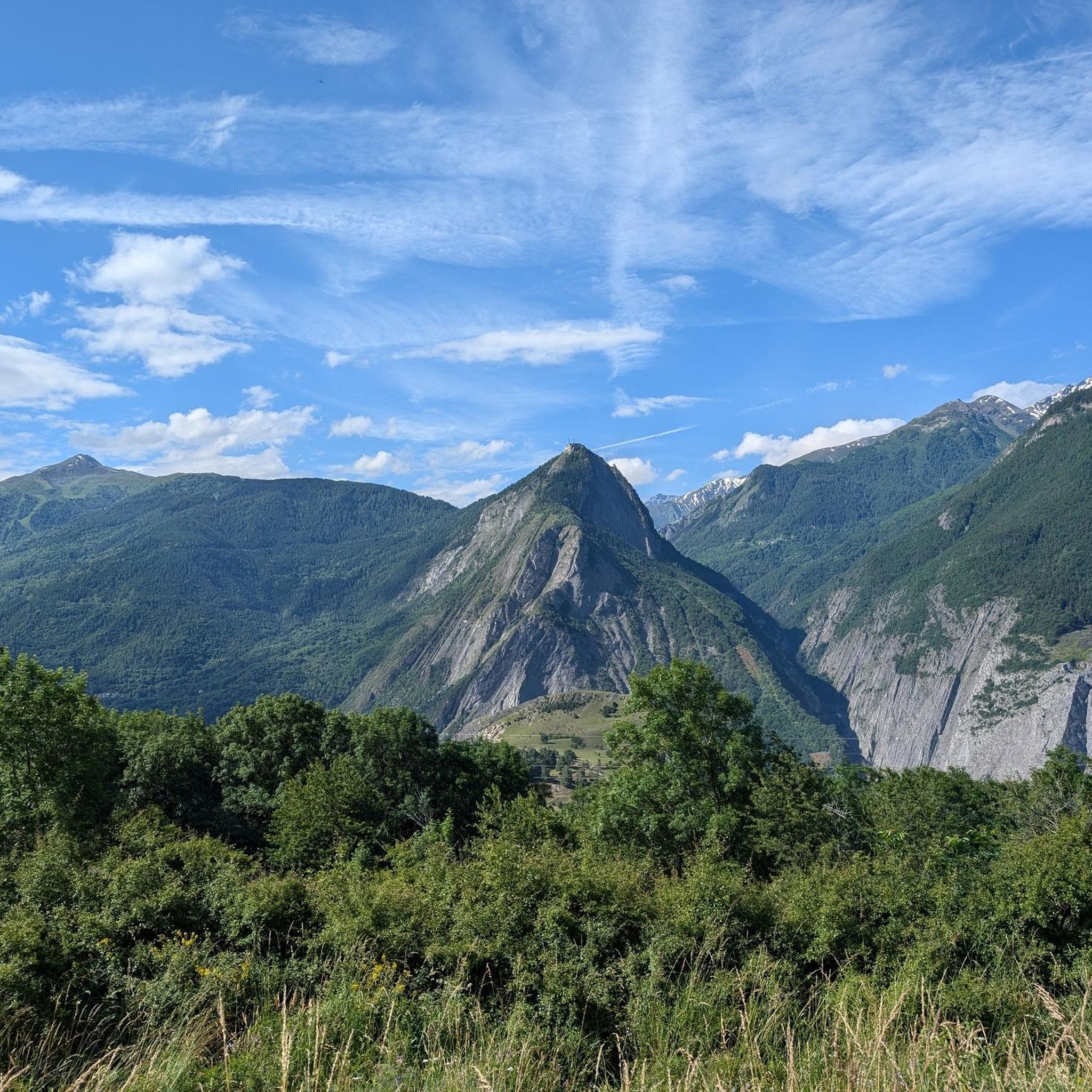
Mountaineering routes around Saint-Michel-De-Maurienne are situated in the heart of the Maurienne Valley, a region of the French Alps known for its high alpine passes and proximity to Vanoise National Park. The landscape features majestic peaks, extensive glaciers, and diverse climbing opportunities, with summits like Dent Parrachée reaching over 3,600 meters. This area provides a range of alpine environments, from challenging glacier traverses to rock climbing routes. The terrain includes deep valleys, high mountain passes, and a network of trails…
Last updated: July 6, 2026
1
hikers
9.73km
03:33
610m
610m
Moderate mountaineering route. Good fitness required. Easily-accessible paths. Suitable for all skill levels.
5
hikers
17.6km
06:25
980m
980m
Hard mountaineering route. Very good fitness required. Mostly accessible paths. Sure-footedness required.

Sign up for free
3
hikers
12.9km
05:34
850m
850m
Hard mountaineering route. Very good fitness required. Mostly accessible paths. Sure-footedness required.
2
hikers
Hard mountaineering route. Very good fitness required. Sure-footedness, sturdy shoes and alpine experience required.
5.0
(1)
3
hikers
9.57km
02:55
330m
330m
Moderate mountaineering route. Good fitness required. Easily-accessible paths. Suitable for all skill levels.
Our route recommendations are based on thousands of hikes, rides, and runs completed by other people on komoot.
Start today with a free account
Your next adventure awaits.
Login or Signup
Popular around Saint-Michel-De-Maurienne
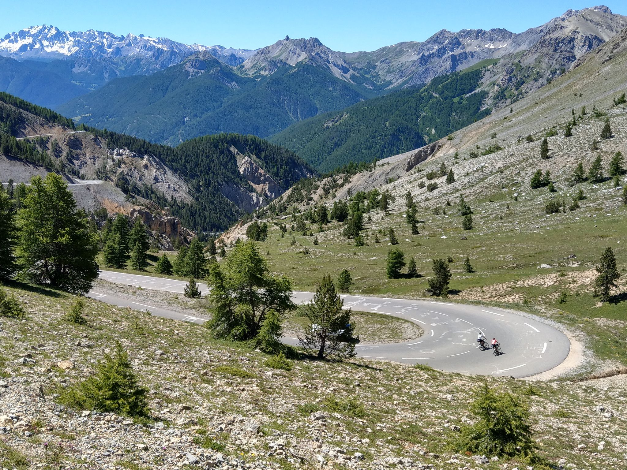
Route des Grandes Alpes – in 6 days from Evian to Nice
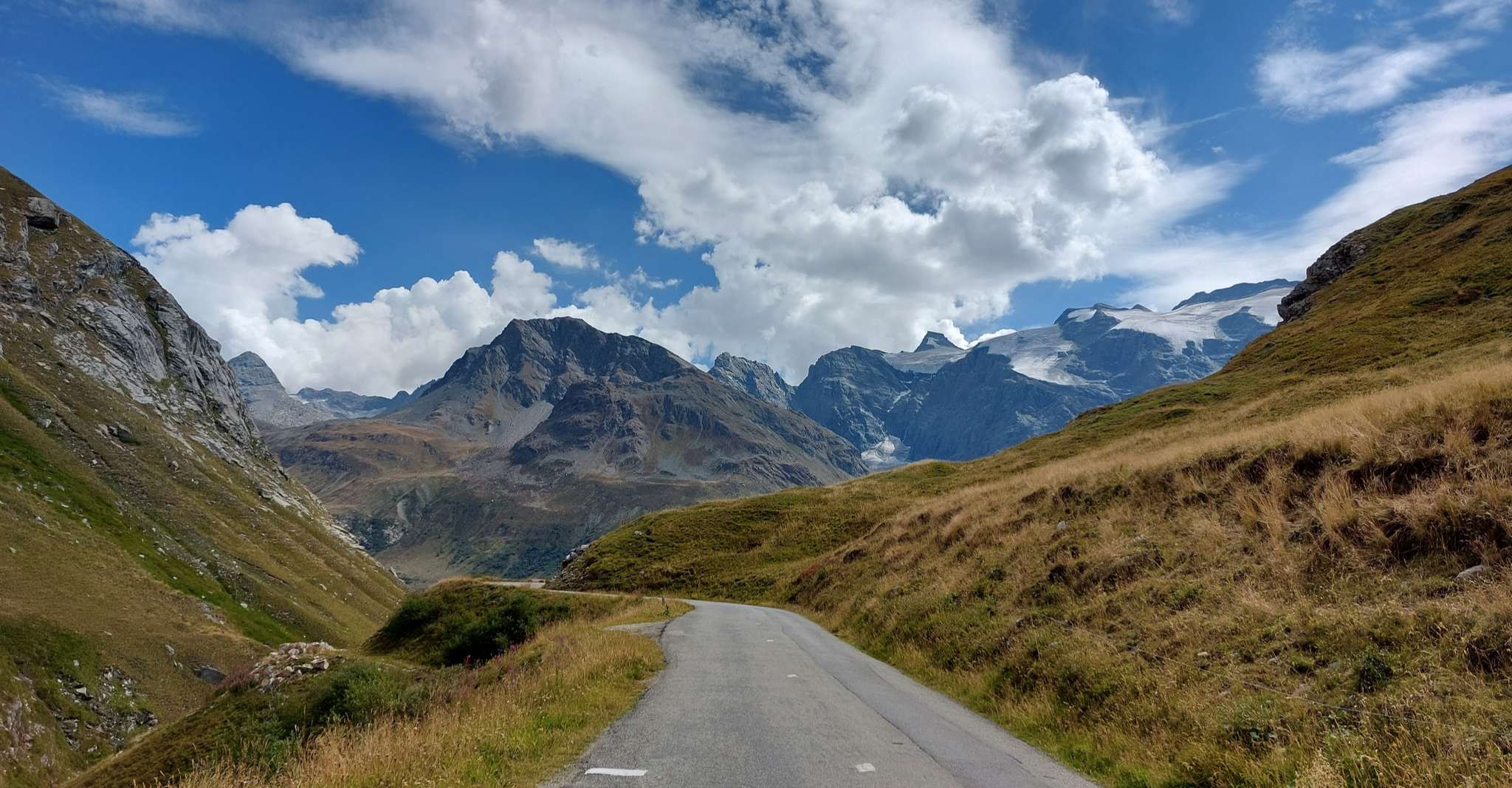
Briançon to Aosta – travelling across the Alps (part 2)
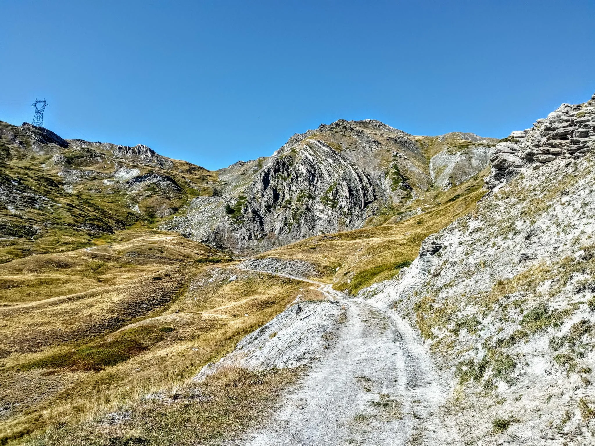
Between valleys and peaks – Ultra Gravel Tour des Alpes
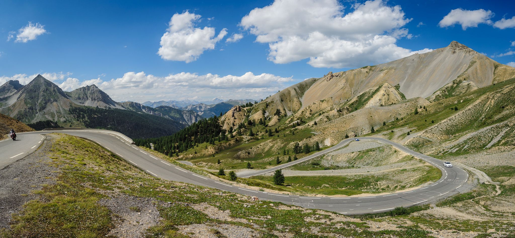
From Thonon to Menton — the great crossing of the French Alps
Finding the last bits of snow — early spring riding in the Alps
France’s breathtaking Alpine world — road bike routes around Maurienne
Tracing the Tour de France – spectacular passes in the Auvergne-Rhône-Alps
Road Cycling Routes around Saint-Michel-De-Maurienne
Cycling around Saint-Michel-De-Maurienne
MTB Trails around Saint-Michel-De-Maurienne
Other adventures around Saint-Michel-De-Maurienne


Tips from the Community

There must be several along the stream...
0
0

After the Galibier, if that's not enough for you, you can also get the Tèlègraphe.
21
1

Above Lake Lou, a beautiful walk that requires a good workout at the end. The lake is stocked with fish and is ideal for fishing.
0
0

Small, little-used watering hole. Far from the usual path.
0
0


The Refuge du Lac du Lou, located at 2,045 meters above sea level near the ski resorts of Les Menuires and Val Thorens, offers a warm welcome in both summer and winter. The 2024-2025 winter season will begin on December 7, 2024. The refuge has 33 beds in rooms for 4 to 8 people, all equipped with pillows and blankets; the use of a personal sleeping bag is mandatory. Half-board includes dinner, overnight stay and breakfast, with reservation required. The refuge is known for its quality cuisine, using organic and local products, and offers an ideal environment for those seeking a unique experience away from the daily routine.
1
0
Frequently Asked Questions
What is the general difficulty level of mountaineering routes around Saint-Michel-De-Maurienne?
The mountaineering routes in this region cater to a range of abilities, primarily focusing on moderate to difficult experiences. You'll find 2 moderate routes and 3 difficult routes, offering varied challenges from sustained climbs to significant elevation gains. For example, the Lac Blanc – Lac Peclet loop from Val Thorens is a moderate option, while the Lac du Lou – Beautiful view of Lac du Lou loop from Les Ménuires presents a more difficult challenge.
Are there any circular mountaineering routes available?
Yes, several mountaineering routes around Saint-Michel-De-Maurienne are circular, allowing you to start and end at the same point. Examples include the moderate Lac Blanc – Lac Peclet loop from Val Thorens and the more challenging Mountaineering loop from Valmeinier.
What kind of landscapes and views can I expect on these mountaineering routes?
Mountaineering in Saint-Michel-De-Maurienne offers breathtaking alpine scenery. You can expect majestic peaks, extensive glaciers, and deep valleys. The region is at the doorstep of the Vanoise National Park, known for its stunning mountain vistas and opportunities to observe wildlife like marmots. Routes often provide panoramic views of the Vanoise glaciers and the Maurienne Valley.
Are there any beginner-friendly mountaineering routes in the area?
While many routes are moderate to difficult, there are options suitable for those with some mountaineering experience looking for a less strenuous challenge. The Lac Blanc – Lac Peclet loop from Val Thorens is classified as moderate, offering beautiful alpine lake views without the extreme demands of more difficult ascents. Another moderate option is the Col du Télégraphe loop from Col du Télégraphe.
What are some of the more challenging mountaineering routes around Saint-Michel-De-Maurienne?
For experienced mountaineers seeking a significant challenge, routes like the Lac du Lou – Beautiful view of Lac du Lou loop from Les Ménuires offer substantial elevation gain and expansive mountain vistas. Another demanding option is the Mont Thabor loop from Communauté de communes Maurienne-Galibier, which is a long and difficult journey through high alpine terrain.
Can I bring my dog on the mountaineering trails?
The Maurienne Valley is a natural environment, and while many areas are dog-friendly, specific rules apply, especially within protected zones like the Vanoise National Park. It's generally recommended to keep dogs on a leash to protect wildlife and ensure their safety on challenging terrain. Always check local regulations for the specific route you plan to undertake, as some areas may have restrictions.
What notable natural features or landmarks can I see along the routes?
The region is rich in natural beauty and iconic landmarks. You might encounter stunning alpine lakes such as Lac du Lou or Lac Vert. The area is also famous for its high alpine passes, including the historic Col du Télégraphe and the challenging Col du Galibier. The majestic peaks like Dent Parrachée and the Dômes de la Vanoise are also prominent features.
What is the best season for mountaineering in Saint-Michel-De-Maurienne?
The best season for mountaineering in Saint-Michel-De-Maurienne is typically from late spring to early autumn (June to September). During these months, the snow has largely melted from lower and mid-altitudes, and weather conditions are generally more stable. However, higher altitude routes, especially those involving glaciers, may still require specific equipment and expertise even in summer. Always check current weather and trail conditions before heading out.
What do other mountaineers enjoy most about the routes in Saint-Michel-De-Maurienne?
The mountaineering routes around Saint-Michel-De-Maurienne are highly rated by the komoot community, with an average score of 5.0 stars. Mountaineers often praise the diverse alpine environments, from challenging glacier traverses to rewarding rock climbing routes, and the stunning panoramic views of the Vanoise National Park and its majestic peaks.
Are there opportunities for multi-day mountaineering trips with hut stops?
The Maurienne Valley and the adjacent Vanoise National Park offer an extensive network of trails and mountain huts, making multi-day trips possible. While specific hut stops are not detailed for the listed routes, the region's tradition of mountaineering and its preserved alpine environment are well-suited for longer expeditions. Planning in advance and booking huts is essential, especially during peak season.
How many mountaineering routes are available in Saint-Michel-De-Maurienne?
There are 5 distinct mountaineering routes detailed around Saint-Michel-De-Maurienne, offering a variety of experiences for different skill levels. These routes range from moderate to difficult, providing options for both day trips and more challenging expeditions.
Most popular routes around Saint-Michel-De-Maurienne
Most popular attractions around Saint-Michel-De-Maurienne

Get inspired with the komoot mobile app


Explore more
Browse the best Mountain Hikes & Routes in other regions.
