The best running trails around Saint-Michel-De-Maurienne
4.4
(49)
6,290
runners
16
runs
Jogging routes around Saint-Michel-De-Maurienne traverse a mountainous region in the French Alps, characterized by significant elevation changes and scenic valley floors. The landscape features a mix of forested areas, open alpine terrain, and river valleys. Many running paths offer views of the surrounding peaks and access to natural water bodies.
Best jogging routes around Saint-Michel-De-Maurienne
- The most popular jogging route is Col du Télégraphe – Col du Télégraphe loop from Saint-Michel - Valloire, a 10.6 miles (17.0 km) trail…
Last updated: July 1, 2026
25
runners
Hard run. Very good fitness required. Sure-footedness, sturdy shoes and alpine experience required.
28
runners
9.66km
01:03
140m
140m
Moderate run. Good fitness required. Mostly paved surfaces. Suitable for all skill levels.

Sign up for free
3
runners
7.39km
00:50
200m
200m
Moderate run. Good fitness required. Mostly paved surfaces. Suitable for all skill levels.
3.0
(1)
4
runners
7.11km
01:03
360m
360m
Hard run. Very good fitness required. Mostly paved surfaces. Suitable for all skill levels.
15
runners
9.06km
01:04
260m
260m
Moderate run. Good fitness required. Mostly paved surfaces. Suitable for all skill levels.
Get access to more routes and recommendations from other explorers.
Sign up for free
Already have an account?
Our route recommendations are based on thousands of hikes, rides, and runs completed by other people on komoot.
Start today with a free account
Your next adventure awaits.
Login or Signup
Popular around Saint-Michel-De-Maurienne
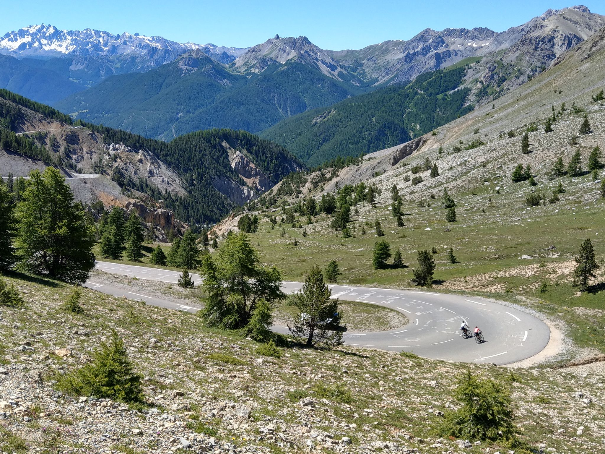
Route des Grandes Alpes – in 6 days from Evian to Nice
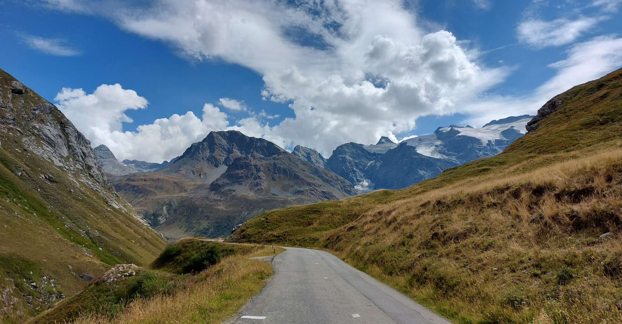
Briançon to Aosta – travelling across the Alps (part 2)
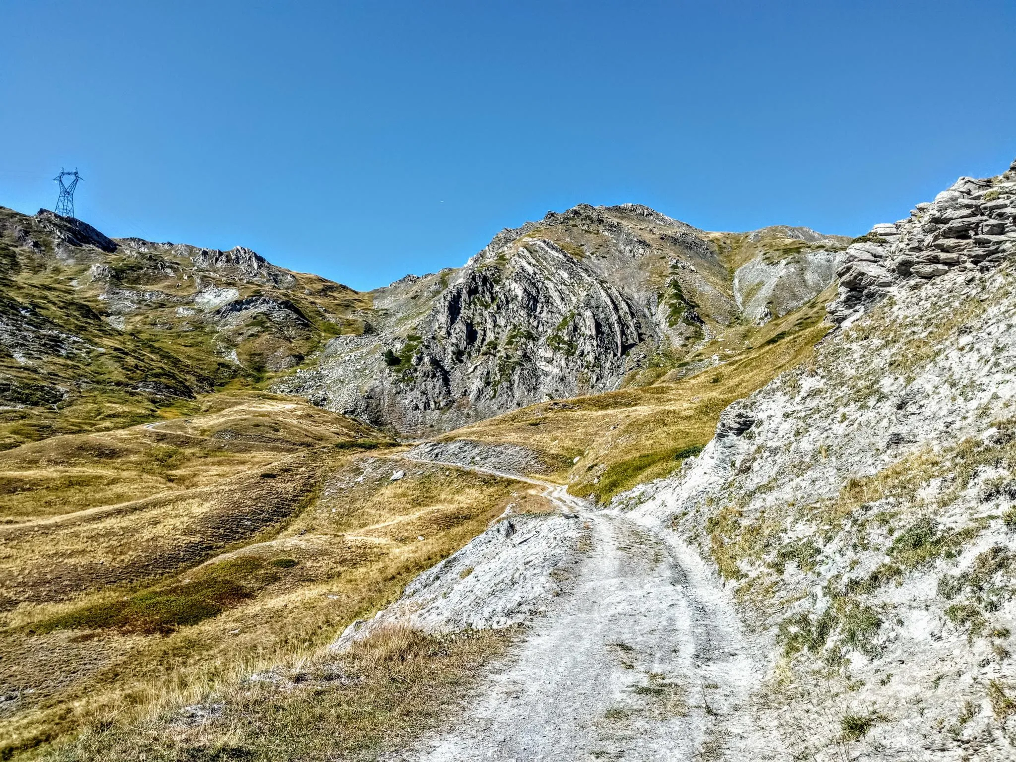
Between valleys and peaks – Ultra Gravel Tour des Alpes
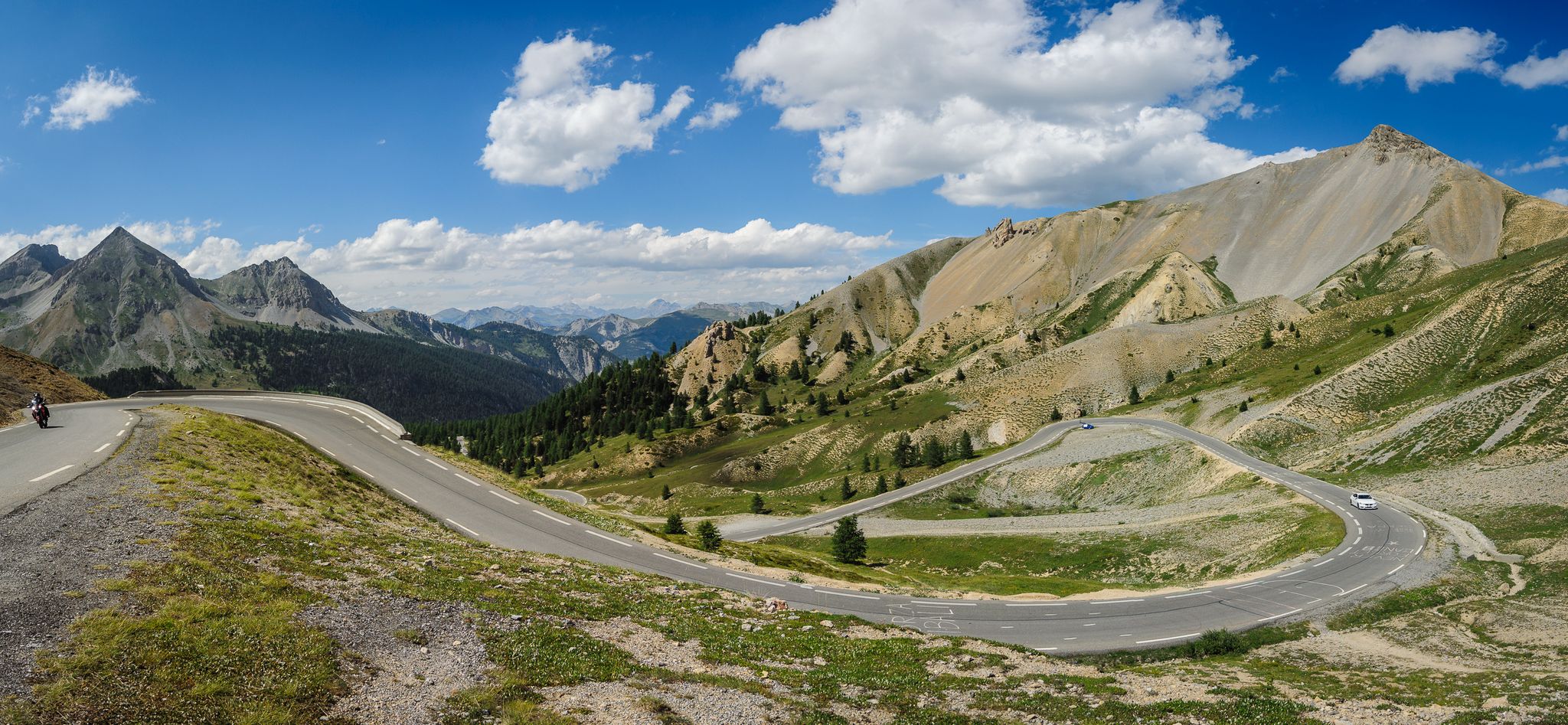
From Thonon to Menton — the great crossing of the French Alps
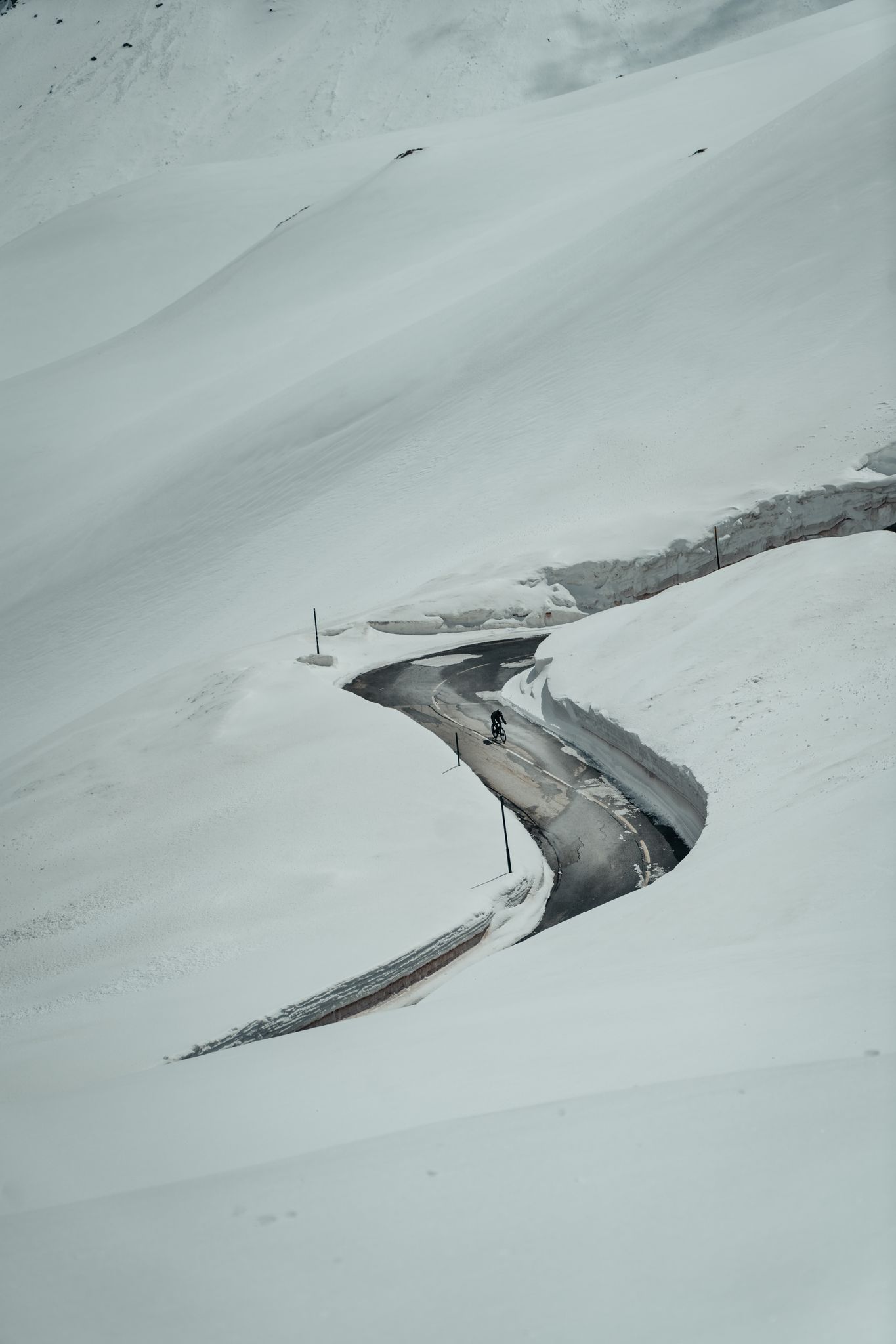
Finding the last bits of snow — early spring riding in the Alps
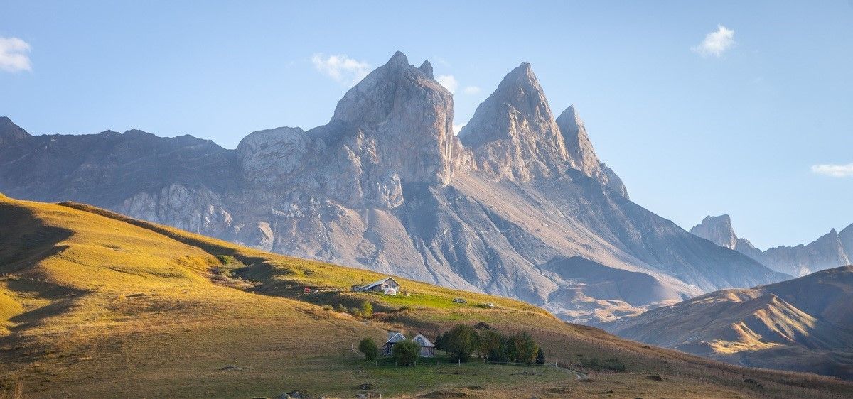
France’s breathtaking Alpine world — road bike routes around Maurienne
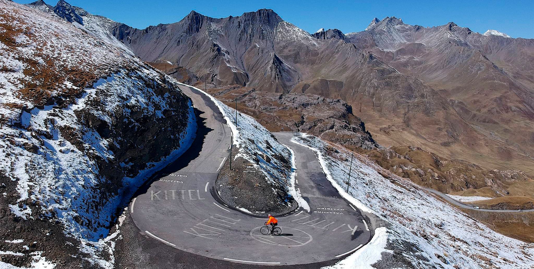
Tracing the Tour de France – spectacular passes in the Auvergne-Rhône-Alps
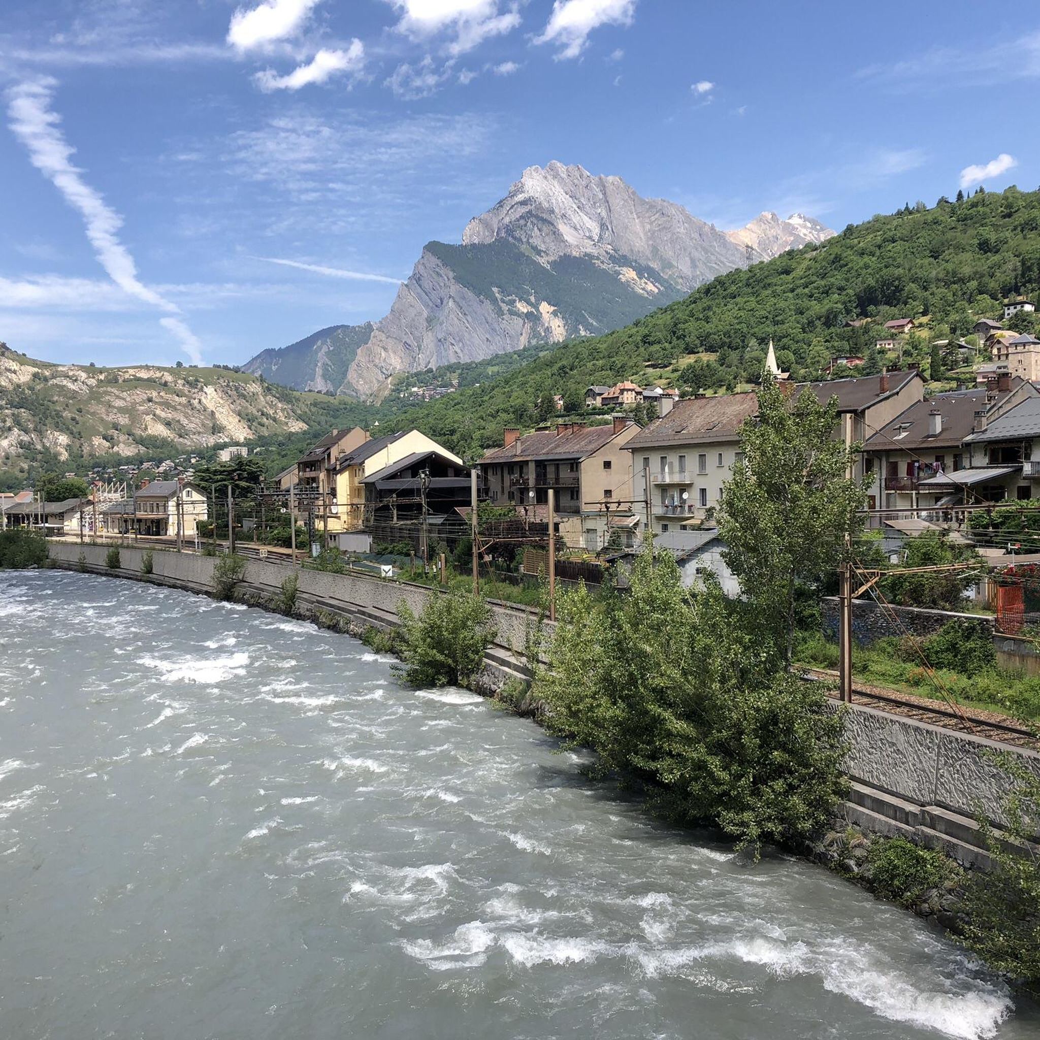
Road Cycling Routes around Saint-Michel-De-Maurienne
Cycling around Saint-Michel-De-Maurienne
MTB Trails around Saint-Michel-De-Maurienne
Other adventures around Saint-Michel-De-Maurienne


Tips from the Community

Beautiful, very welcoming town.
18
0
After the Galibier, if that's not enough for you, you can also get the Tèlègraphe.
21
1

Starting point for the Telegraphe - Galibier Double! A must-do.
0
0

This is a place that definitely deserves a stop while touring. Cyclists, walkers, motorcyclists, mountain bikers, .... all can go there. (Catering business, parking, outdoor terrace, ...) Several picnic areas and information boards in the immediate vicinity.
3
0

Starting point for the Telegraphe - Galibier Double
1
0
Memorial stone at the Col du Telegraphe
0
0

It's essential to pass the Télégraphe test before tackling the Galibier. The name "Télégraphe" is strange, but the explanation for its name is quite simple: this mid-level pass, with an altitude of 1,565 meters, takes its name from the fort that was built there between 1885 and 1893. This fort no longer exists today. The Relais du Télégraphe will instead offer you refreshments, supplies, and meals.
8
1
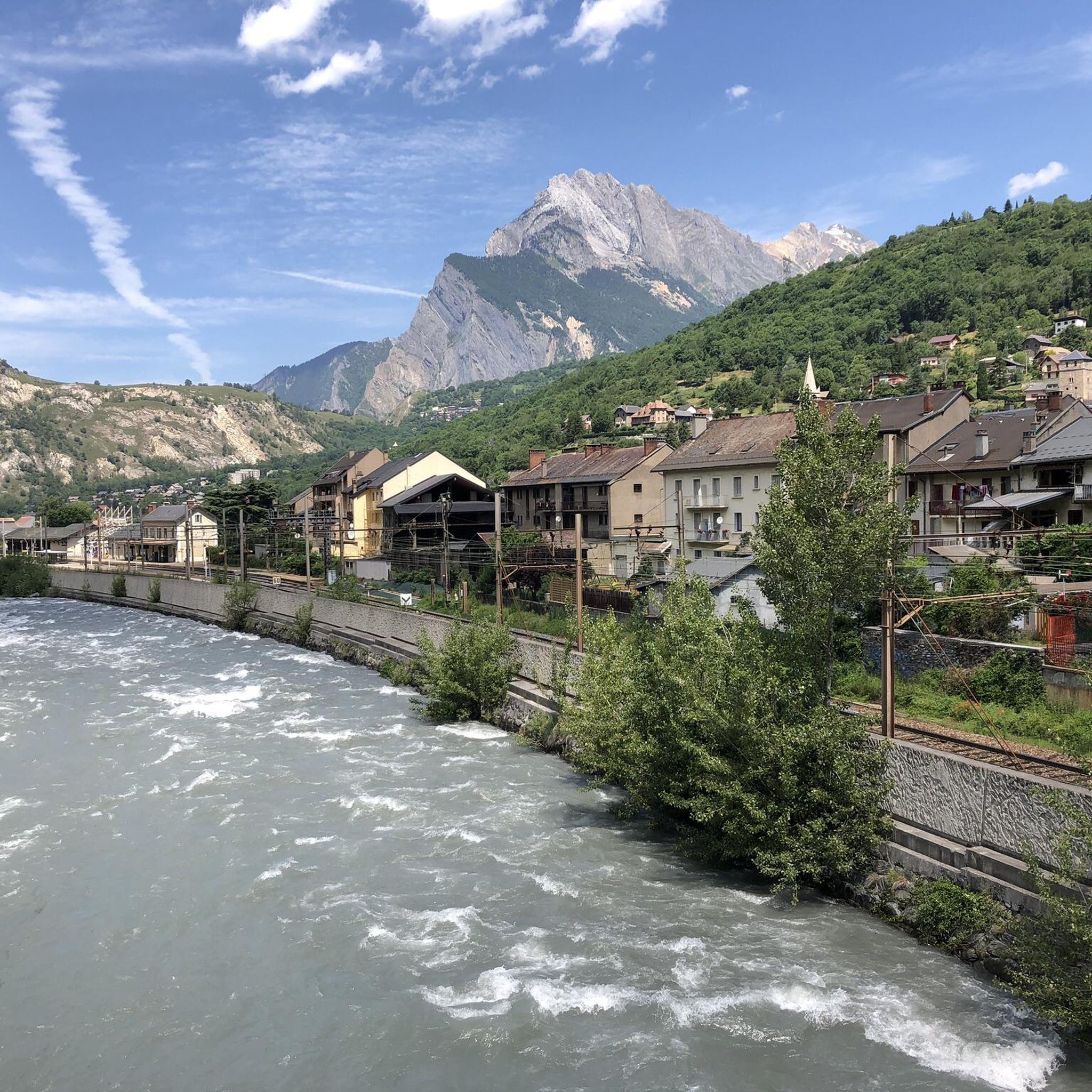
Saint-Michel-de-Maurienne on the banks of the Arc river, is ideally located in the upper Maurienne valley. It is in fact the starting point of the famous Télégraphe and Galibier passes.
1
0
Frequently Asked Questions
How many running routes are available around Saint-Michel-De-Maurienne?
There are over 15 running routes documented on komoot for the Saint-Michel-De-Maurienne area. These trails offer a variety of experiences, from moderate loops to challenging mountain ascents.
Are there any easy jogging routes in Saint-Michel-De-Maurienne?
While the region is known for its mountainous terrain, there are options for less strenuous runs. The routes around Saint-Michel-De-Maurienne are primarily rated as moderate or difficult, with 7 moderate and 11 difficult trails. For a flatter option, consider the Plan d'eau des Culées loop from Saint-Michel-de-Maurienne, which circles a local water body.
What kind of terrain can I expect on the running trails?
The running trails around Saint-Michel-De-Maurienne traverse a diverse landscape typical of the French Alps. You'll encounter significant elevation changes, forested areas, open alpine terrain, and scenic river valleys. Many paths offer stunning views of the surrounding peaks and access to natural water bodies.
Are there any loop running trails in the area?
Yes, many of the running routes in Saint-Michel-De-Maurienne are designed as loops. For example, the popular Plan d'eau des Culées loop from Saint-Michel-de-Maurienne offers a moderate circuit, and the Running loop from Saint-Michel - Valloire provides a shorter option through varied local terrain.
What are some scenic points of interest I can see while running?
The region offers beautiful alpine scenery. You can encounter mountain passes like Col du Télégraphe, or enjoy views of lakes such as Lac du Lou and Lac Vert. The trails often provide panoramic vistas of the surrounding peaks and valleys.
What do other runners say about the trails in Saint-Michel-De-Maurienne?
The running routes in Saint-Michel-De-Maurienne are highly regarded by the komoot community, with an average rating of 4.5 stars from over 20 reviews. More than 2000 runners have used komoot to explore the varied terrain, often praising the challenging ascents and beautiful alpine views.
Are there any longer distance running options for experienced runners?
Absolutely. For experienced runners looking for a challenge, the area offers several longer and more difficult routes. The Télégraphe Pass loop from Saint-Michel - Valloire is a demanding 16.5 km trail with significant elevation gain, perfect for those seeking a strenuous workout in alpine surroundings.
What is the best time of year for running in Saint-Michel-De-Maurienne?
Given its mountainous location in the French Alps, the best time for running is typically from late spring through early autumn (May to October). During these months, trails are generally clear of snow, and the weather is more favorable for outdoor activities. Always check local conditions before heading out, especially at higher elevations.
Are there any running routes that pass through or near Valloire?
Yes, several routes connect to or pass near Valloire. For instance, the Running loop from Saint-Michel - Valloire is a moderate 5.7 km trail that leads through varied local terrain between the two locations. You can also find routes that ascend towards the Valloire Village itself.
What are the typical distances of running trails in this region?
The running trails around Saint-Michel-De-Maurienne vary in length to suit different preferences. You can find shorter routes like the Col de la Porte loop from Saint-Michel-de-Maurienne at about 7.5 km, up to longer, more challenging trails such as the Col du Télégraphe – Col du Télégraphe loop from Saint-Michel - Valloire, which spans over 17 km.
Is Saint-Michel-De-Maurienne suitable for beginner runners?
While many routes feature significant elevation, there are moderate options that beginners can enjoy, especially if they are comfortable with some inclines. The Plan d'eau des Culées loop from Saint-Michel-de-Maurienne is a good starting point, offering a moderate 8 km loop with less drastic elevation changes compared to the more difficult mountain trails.
Most popular routes around Saint-Michel-De-Maurienne
Most popular attractions around Saint-Michel-De-Maurienne

Get inspired with the komoot mobile app


Explore more
Browse the best Running Trails & Routes in other regions.
