The best road cycling routes around Saint-Michel-De-Maurienne
4.4
(453)
30,196
riders
12
rides
Road cycling routes around Saint-Michel-De-Maurienne traverse the Maurienne Valley, an area defined by its prominent Alpine peaks and the Arc River. The landscape features numerous challenging ascents to legendary cols and descents through forested areas and open meadows. This environment provides varied terrain for road cyclists, from sustained climbs to routes through picturesque villages.
Best road cycling routes around Saint-Michel-De-Maurienne
- The most popular road cycling route is Col du Galibier – Itinéraires pour vélo de route en Maurienne, a…
Last updated: July 5, 2026
4.8
(56)
4,531
riders
70.8km
04:51
2,410m
2,410m
Hard road ride. Very good fitness required. Mostly well-paved surfaces and easy to ride.
4.9
(14)
1,343
riders
155km
09:58
4,650m
4,650m
Hard road ride. Very good fitness required. Mostly well-paved surfaces and easy to ride.

Sign up for free
4.7
(14)
1,167
riders
147km
07:52
2,870m
2,870m
Hard road ride. Very good fitness required. Mostly well-paved surfaces and easy to ride.
3.7
(3)
120
riders
46.4km
03:10
1,560m
1,560m
Hard road ride. Very good fitness required. Mostly well-paved surfaces and easy to ride.
60
riders
20.5km
01:21
650m
650m
Moderate road ride. Good fitness required. Mostly well-paved surfaces and easy to ride.
Get access to more routes and recommendations from other explorers.
Sign up for free
Already have an account?
Our route recommendations are based on thousands of hikes, rides, and runs completed by other people on komoot.
Start today with a free account
Your next adventure awaits.
Login or Signup
Popular around Saint-Michel-De-Maurienne
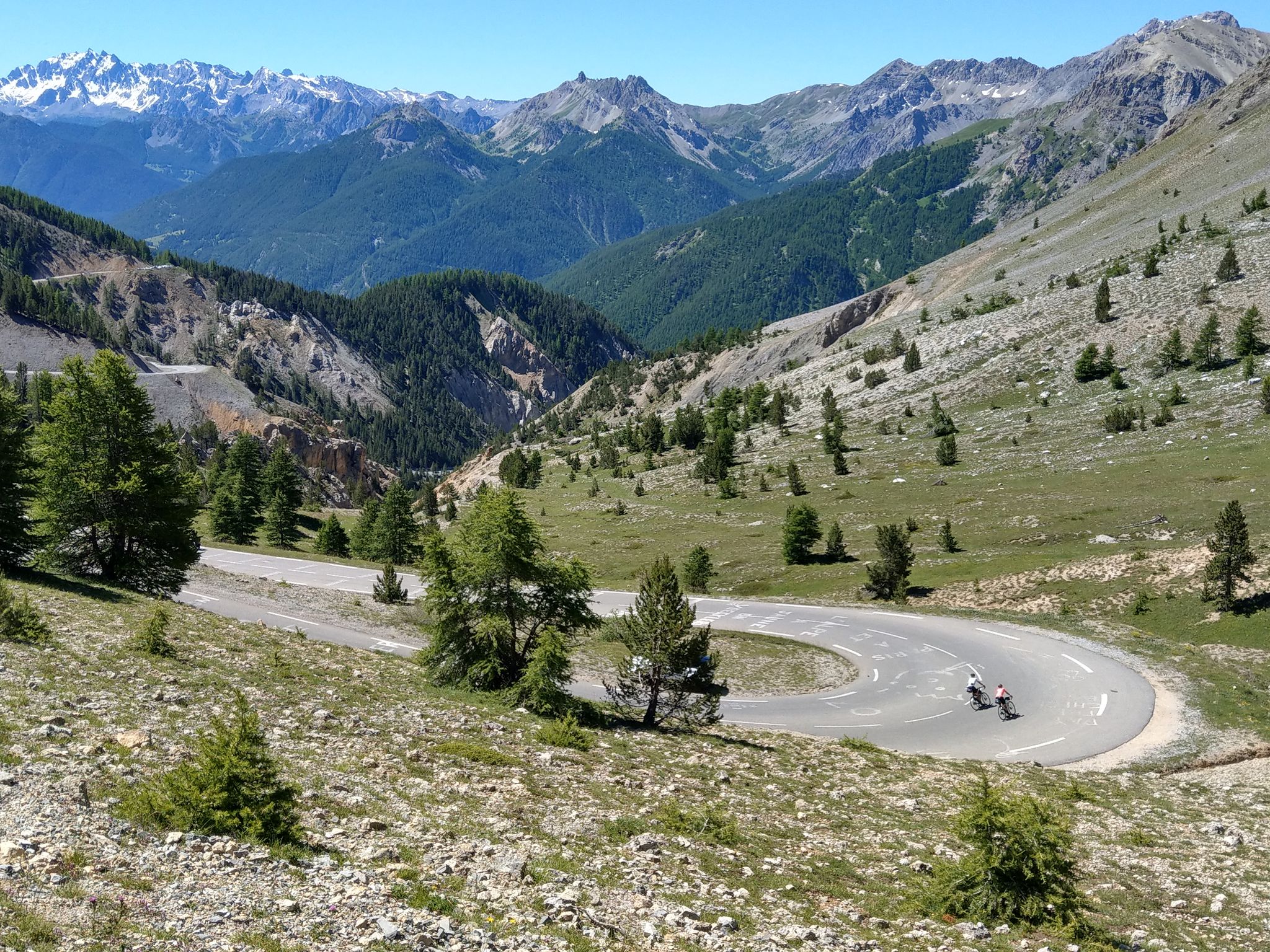
Route des Grandes Alpes – in 6 days from Evian to Nice
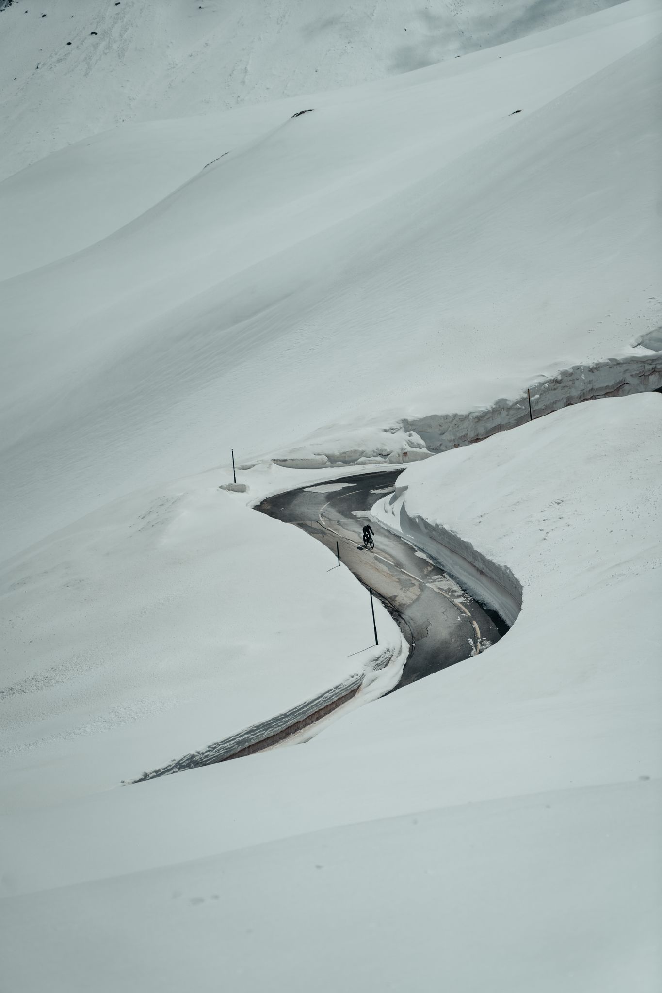
Finding the last bits of snow — early spring riding in the Alps
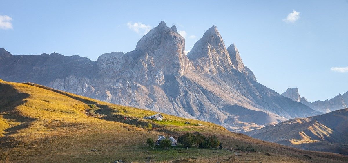
France’s breathtaking Alpine world — road bike routes around Maurienne
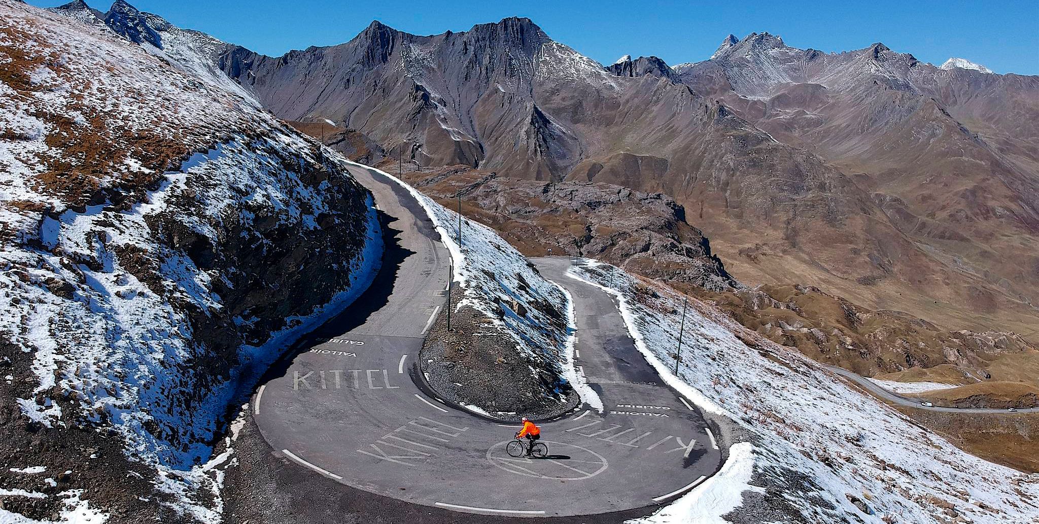
Tracing the Tour de France – spectacular passes in the Auvergne-Rhône-Alps
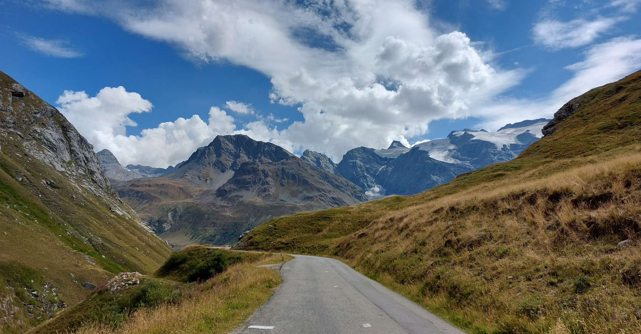
Briançon to Aosta – travelling across the Alps (part 2)
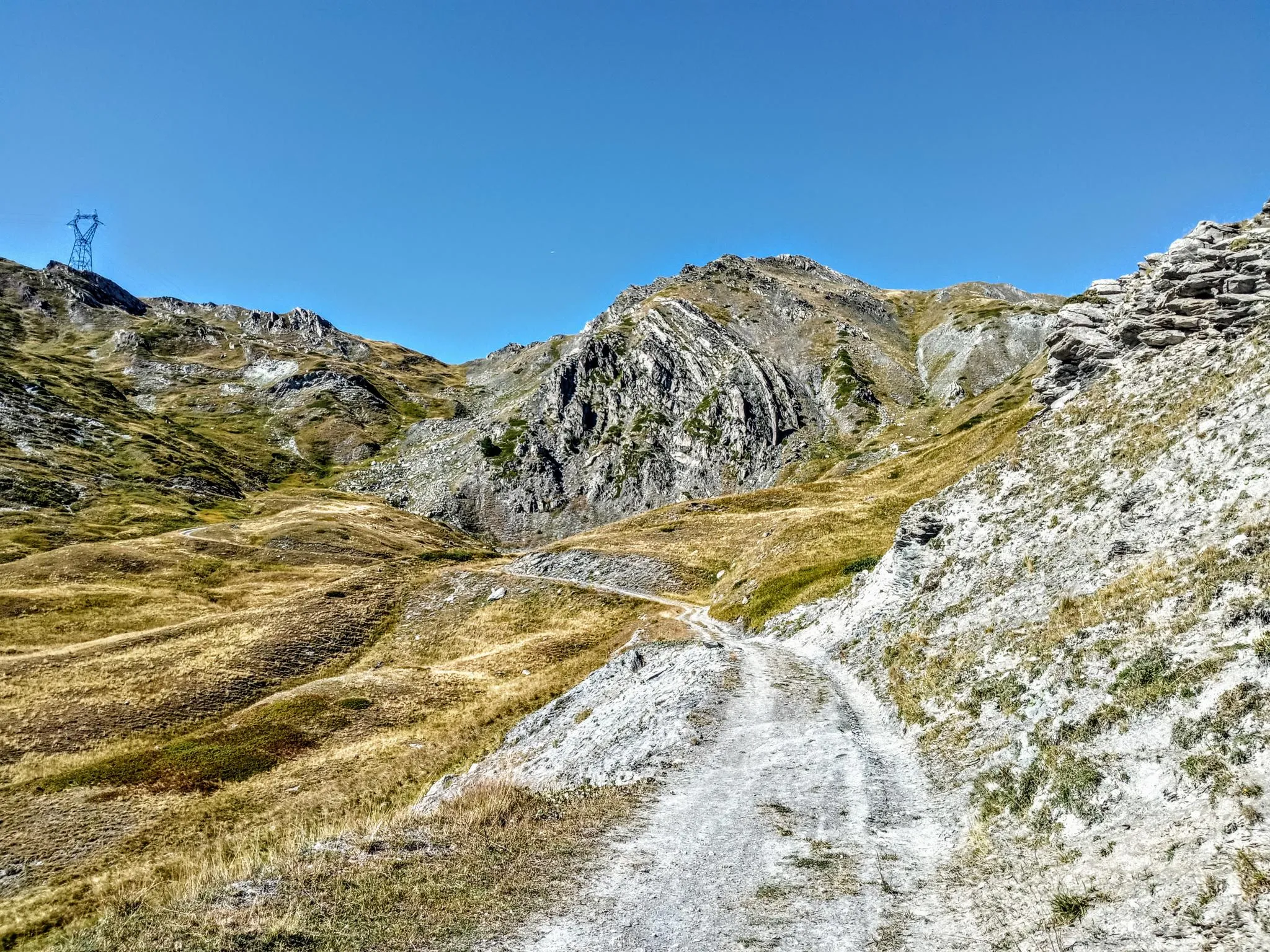
Between valleys and peaks – Ultra Gravel Tour des Alpes
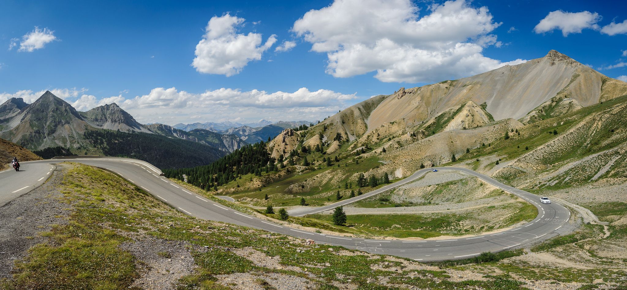
From Thonon to Menton — the great crossing of the French Alps
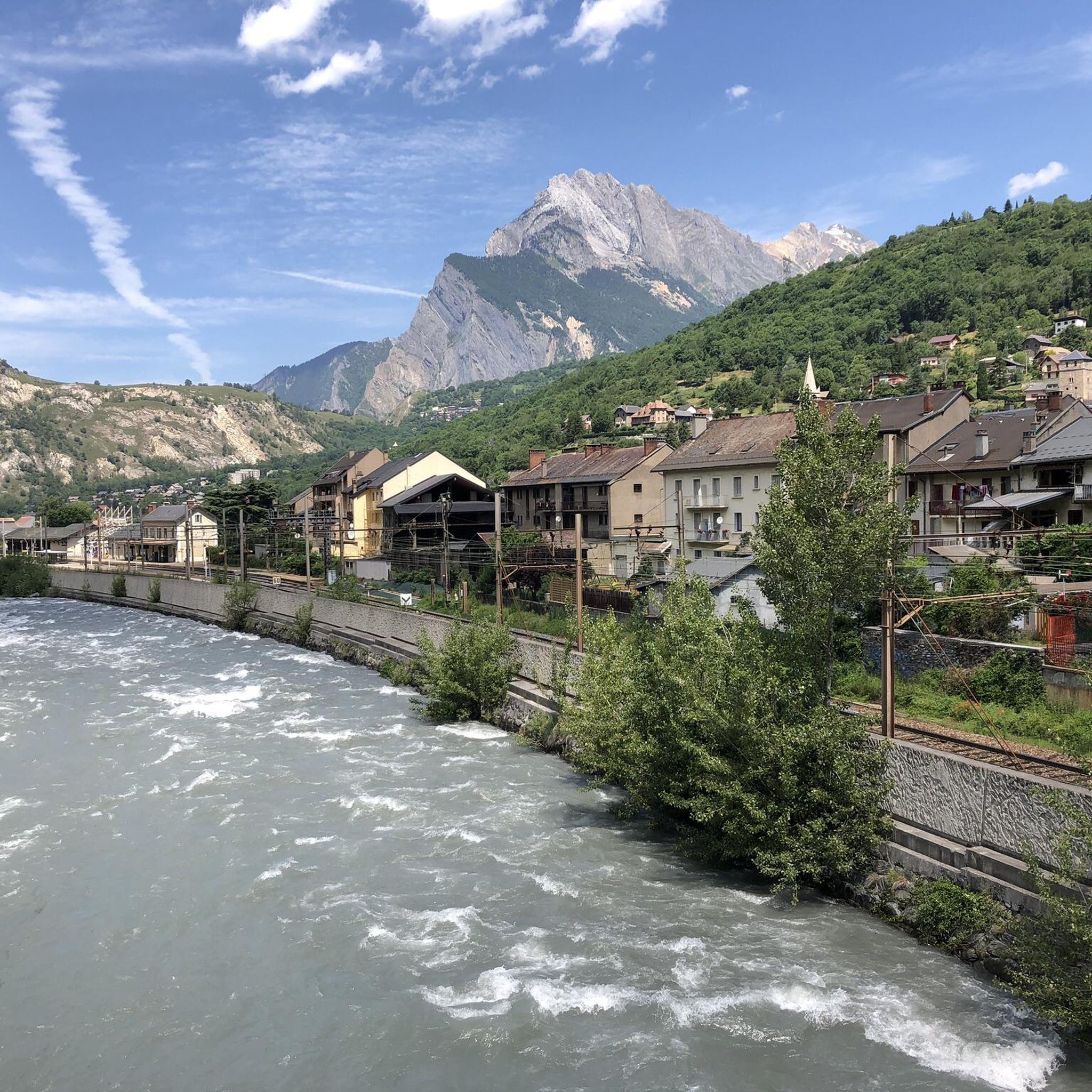
Cycling around Saint-Michel-De-Maurienne
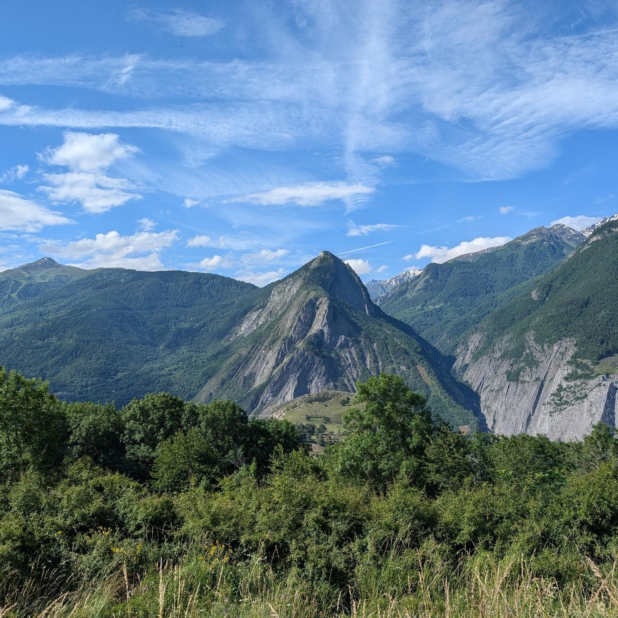
MTB Trails around Saint-Michel-De-Maurienne
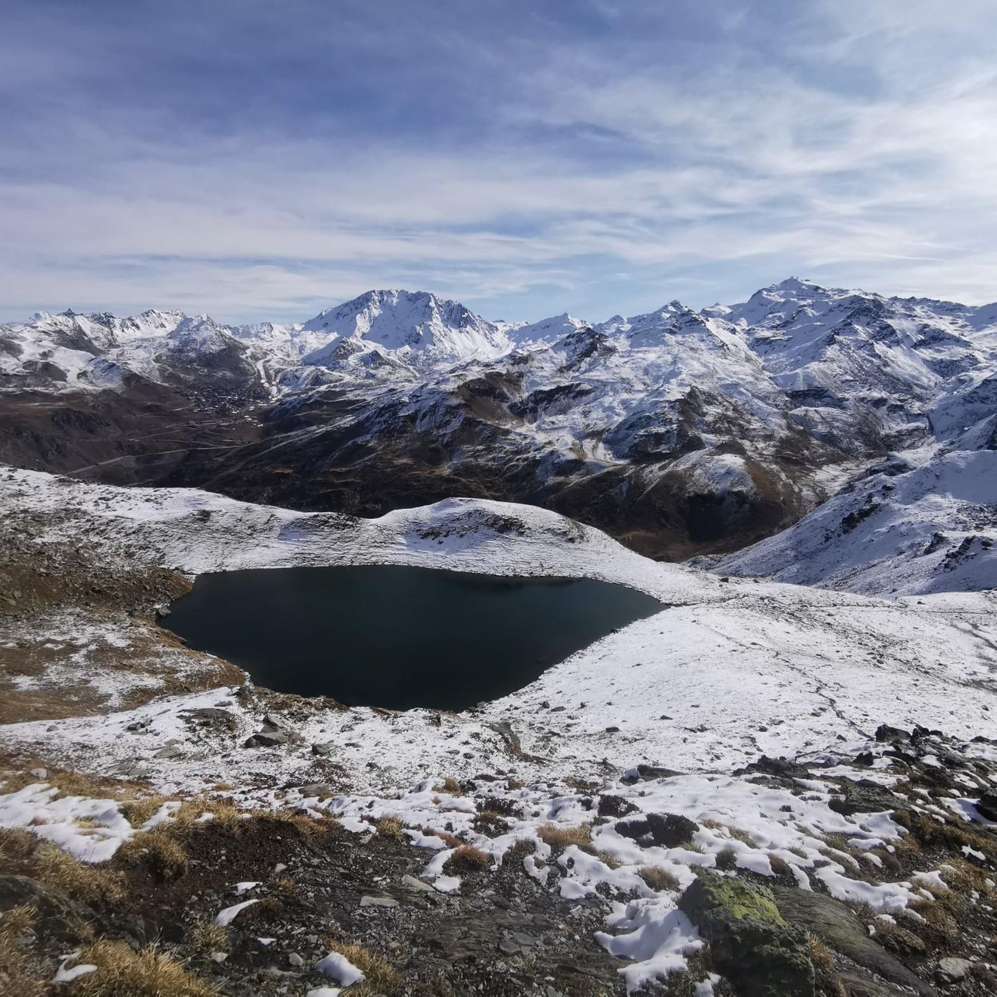
Hiking around Saint-Michel-De-Maurienne
Other adventures around Saint-Michel-De-Maurienne


Tips from the Community

Great view of the Victor Emmanuel fortress as part of a chain of fortifications.
1
0
Beautiful view of Fort Victor Emmanuel.
2
0
For me, always as a descent so far.
0
0

Even more beautiful downhill
3
0

A fantastic mountain, making this climb was very challenging, the asphalt is in excellent condition and the gradients are regular.
14
0
Beautiful, very welcoming town.
18
0
Beautiful mountain village between the Tèlègraphe and the Galibier.
16
0
I must say that this climb is no joke with its gradients, very beautiful.
20
0
Frequently Asked Questions
How many road cycling routes are available around Saint-Michel-De-Maurienne?
The Saint-Michel-De-Maurienne area offers a diverse network of over 10 road cycling routes. These routes cater to various skill levels, from moderate rides to very challenging high-mountain ascents.
What is the best time of year for road cycling in Saint-Michel-De-Maurienne?
The prime season for road cycling in Saint-Michel-De-Maurienne is typically from late spring to early autumn, generally between June and September. During this period, the major mountain passes are usually open, and the weather conditions are most favorable for high-altitude cycling.
Are there any easy or family-friendly road cycling routes in the Maurienne Valley?
While the region is famous for its challenging cols, there are also more moderate options. For a less strenuous ride, consider routes that stay within the valley floor or feature gentler ascents. For example, the Saint-Michel-de-Maurienne loop from Saint-Michel-de-Maurienne offers a moderate experience with manageable elevation.
What makes the road cycling around Saint-Michel-De-Maurienne unique?
Saint-Michel-De-Maurienne is nestled in the heart of the Maurienne Valley, often called the 'world's largest cycling area.' Its uniqueness comes from being a gateway to legendary mountain passes like the Col du Galibier and Col de l'Iseran, offering a combination of dramatic Alpine scenery, challenging climbs, and routes steeped in Tour de France history.
What natural features or landmarks can I see while road cycling in Saint-Michel-De-Maurienne?
The routes often pass through breathtaking landscapes. You can encounter high-altitude lakes such as Lac Vert and Lac du Lou, and witness iconic peaks like Les Aiguilles d’Arves. The historic Fort du Télégraphe also offers exceptional views over the valley.
Are there any specific viewpoints along the cycling routes?
Yes, many routes offer spectacular viewpoints. The ascent to Col du Galibier, often via Col du Télégraphe, provides panoramic vistas of the surrounding Alpine landscape. The Lacets de Montvernier also offer unique, winding views of the Maurienne Valley as you climb.
Is parking available for cyclists in Saint-Michel-De-Maurienne?
Yes, Saint-Michel-De-Maurienne, as a central hub in the Maurienne Valley, generally offers various parking options suitable for cyclists. You can typically find parking in the town center or near the starting points of popular routes, though it's always advisable to check local signage for specific regulations.
When do the major mountain passes typically open for cycling?
The opening dates for major mountain passes like Col du Galibier, Col du Télégraphe, and Col de l'Iseran depend on snow conditions and road clearing efforts. Generally, they open from late May or early June and remain accessible until late October, but it's crucial to check current conditions before planning your ride.
What do other road cyclists enjoy most about the routes in Saint-Michel-De-Maurienne?
The routes in Saint-Michel-De-Maurienne are highly rated by the komoot community, with an average score of 4.5 stars from over 100 reviews. Cyclists frequently praise the challenging ascents to legendary cols, the breathtaking Alpine scenery, and the well-maintained roads that make for an exceptional riding experience.
Are there any circular road cycling routes available?
Yes, the region offers several excellent circular routes. For instance, the Col du Télégraphe – Col du Galibier loop from Saint-Michel - Valloire is a challenging circular path combining two iconic climbs. Another option is the Montvernier Hairpins – Col du Chaussy loop from Saint-Michel - Valloire, which provides a different set of climbs and views.
What are some of the most challenging road cycling climbs in the region?
The Maurienne Valley is renowned for its formidable climbs. Cyclists can test their limits on legendary passes such as the Col du Galibier, often accessed via the Col du Télégraphe, and the Col de l'Iseran, the highest paved pass in the Alps. The Lacets de Montvernier also present a unique and visually stunning challenge with its tight hairpin bends.
Can I combine road cycling with other outdoor activities in the area?
Absolutely. Beyond cycling, Saint-Michel-De-Maurienne is an outdoor enthusiast's paradise. You can explore numerous hiking trails, go fishing in the local lakes and rivers, or try climbing and via ferrata, including routes at Fort du Télégraphe. The proximity to Vanoise National Park also offers opportunities for wildlife observation and forest walks.
Most popular routes around Saint-Michel-De-Maurienne
Most popular attractions around Saint-Michel-De-Maurienne

Get inspired with the komoot mobile app


Explore more
Browse the best Road cycling routes in other regions.
