The best walks and hikes around Saint-Michel-De-Maurienne
4.5
(1063)
12,989
hikers
21
hikes
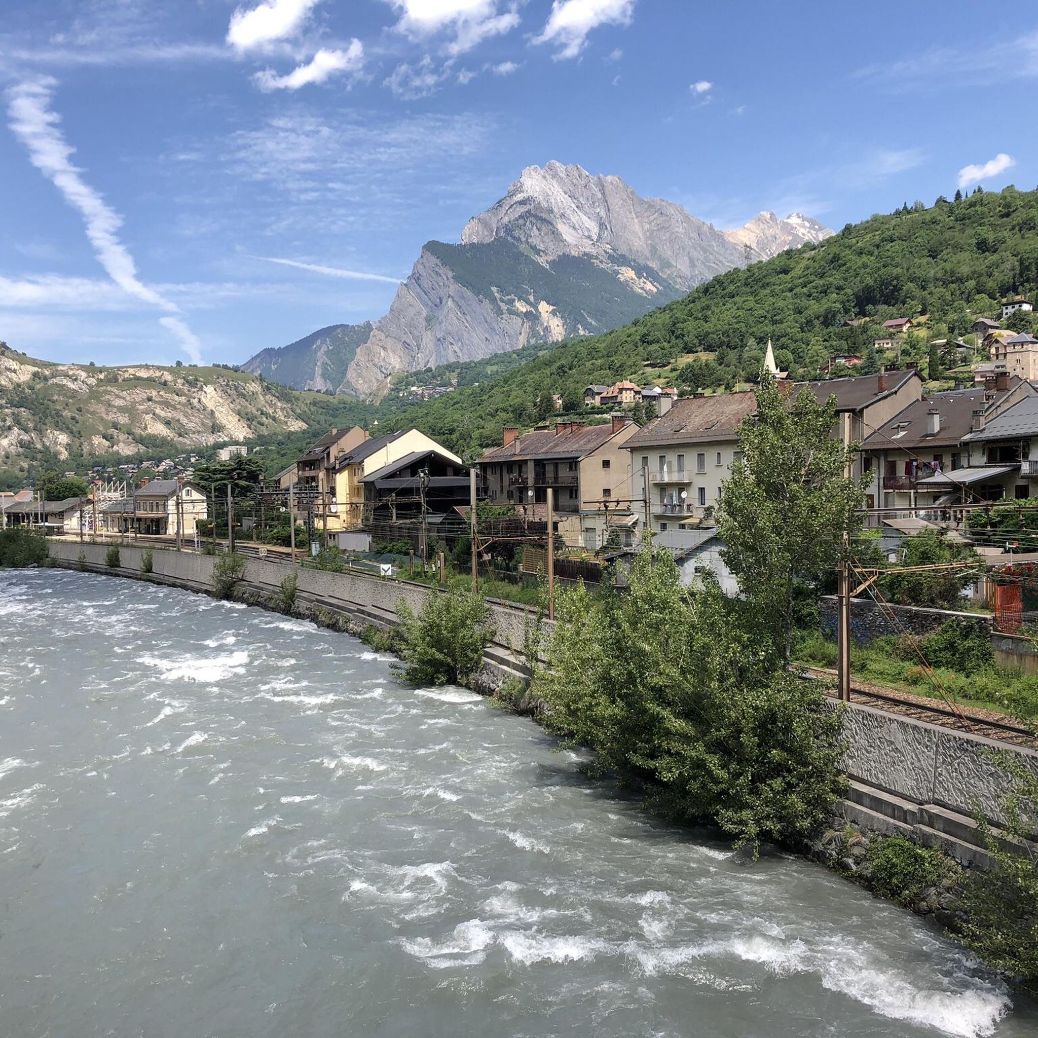
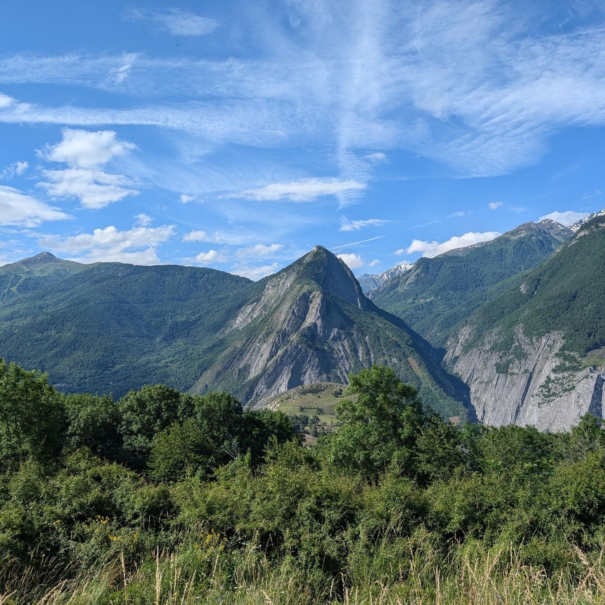
Hiking around Saint-Michel-De-Maurienne offers access to the diverse landscapes of the Maurienne Valley in the French Alps. The region is characterized by dramatic mountainous terrain, including iconic Alpine passes and prominent peaks. Numerous mountain lakes are scattered throughout the area, providing tranquil destinations. Proximity to the Vanoise National Park further enhances opportunities for exploring pristine natural environments.
Best hiking trails around Saint-Michel-De-Maurienne
- The most popular hiking route is The Combes grain mill – Bridge over the Neuvache loop from Saint-Michel - Valloire, a moderate 5.9 miles (9.5 km) trail that takes 3 hours 42 minutes to complete, exploring the valley's natural features.
- Another top favourite among local hikers is Eglise Saint Martin ... – Col du Télégraphe loop from Saint-Michel - Valloire, a difficult 10.0 miles (16.2 km) path. This route offers views towards the Col du Télégraphe and surrounding alpine scenery.
- Local hikers also love the Arméra chairlift – Moulin des Combes trail loop from Saint-Martin-d'Arc, a 5.7 miles (9.2 km) trail leading through alpine landscapes, often completed in about 3 hours 32 minutes.
- Hiking around Saint-Michel-De-Maurienne is defined by high mountain passes, the extensive Maurienne Valley, and numerous mountain lakes. The network offers options for various ability levels, from moderate walks to challenging alpine treks.
- The routes in Saint-Michel-De-Maurienne are highly rated by the komoot community with an average score of 4.5 stars from over 1100 reviews. More than 13000 hikers have used komoot to explore Saint-Michel-De-Maurienne's varied terrain.
Last updated: July 9, 2026
5.0
(2)
12
hikers
Moderate hike. Good fitness required. Mostly accessible paths. Sure-footedness required.
5.0
(1)
9
hikers
16.2km
06:08
1,030m
1,030m
Hard hike. Very good fitness required. Mostly accessible paths. Sure-footedness required.

Sign up for free
15
hikers
9.23km
03:33
630m
630m
Moderate hike. Good fitness required. Mostly accessible paths. Sure-footedness required.
4.7
(3)
8
hikers
28.8km
09:37
1,310m
1,300m
Hard hike. Very good fitness required. Mostly accessible paths. Sure-footedness required.
5.0
(1)
10
hikers
7.48km
02:47
450m
450m
Moderate hike. Good fitness required. Mostly accessible paths. Sure-footedness required.
Get access to more routes and recommendations from other explorers.
Sign up for free
Already have an account?
Our route recommendations are based on thousands of hikes, rides, and runs completed by other people on komoot.
Start today with a free account
Your next adventure awaits.
Login or Signup
Popular around Saint-Michel-De-Maurienne
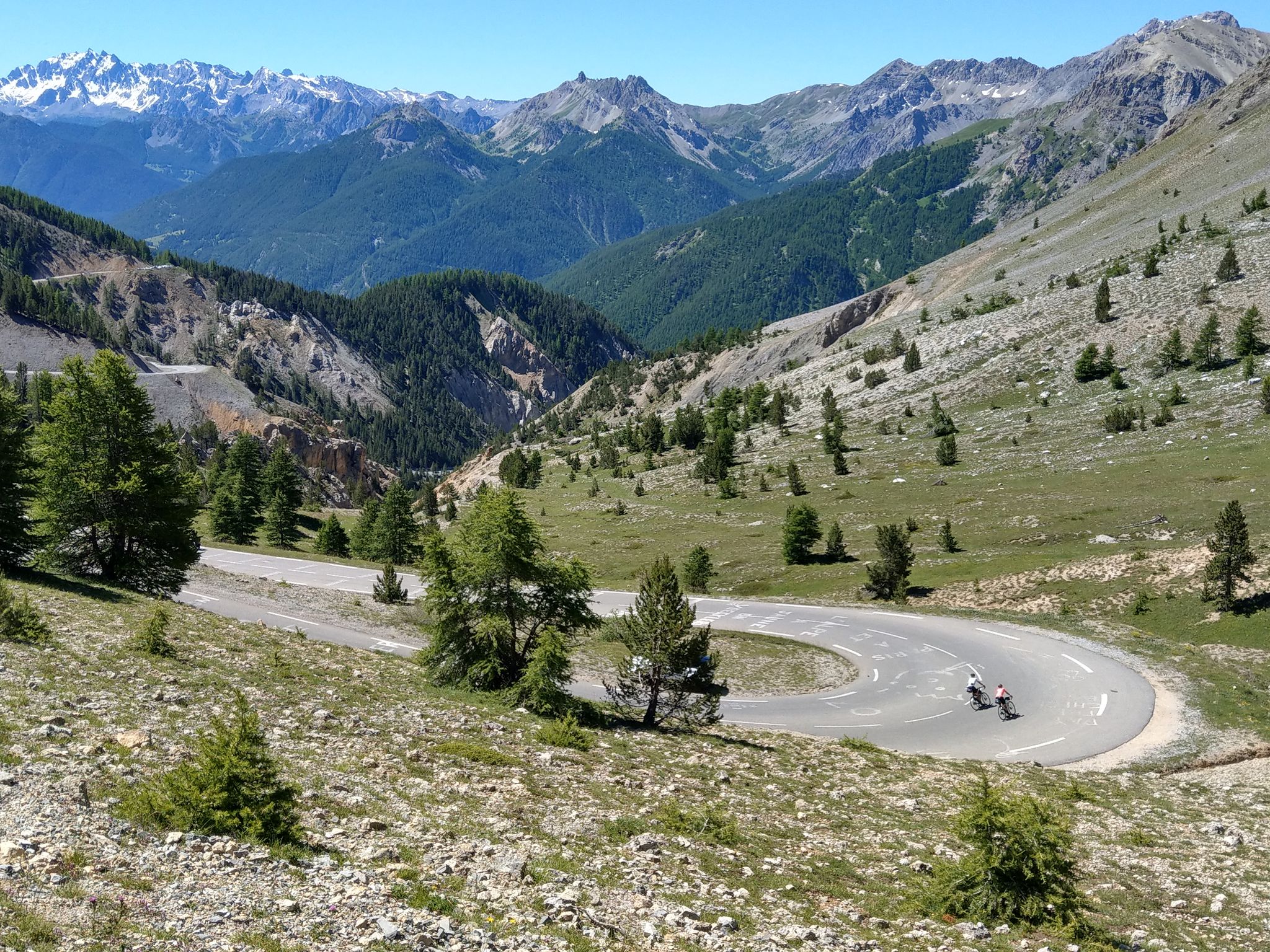
Route des Grandes Alpes – in 6 days from Evian to Nice
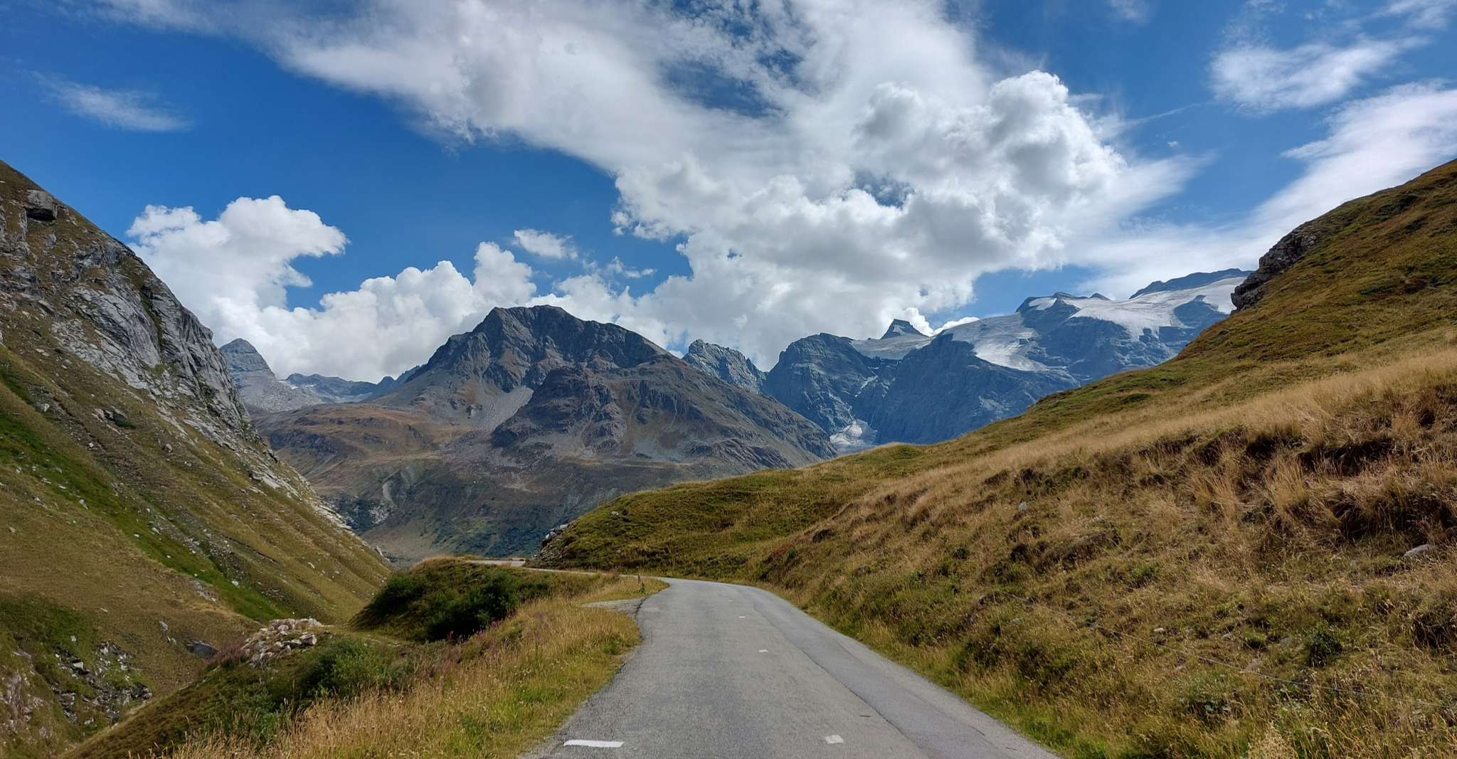
Briançon to Aosta – travelling across the Alps (part 2)
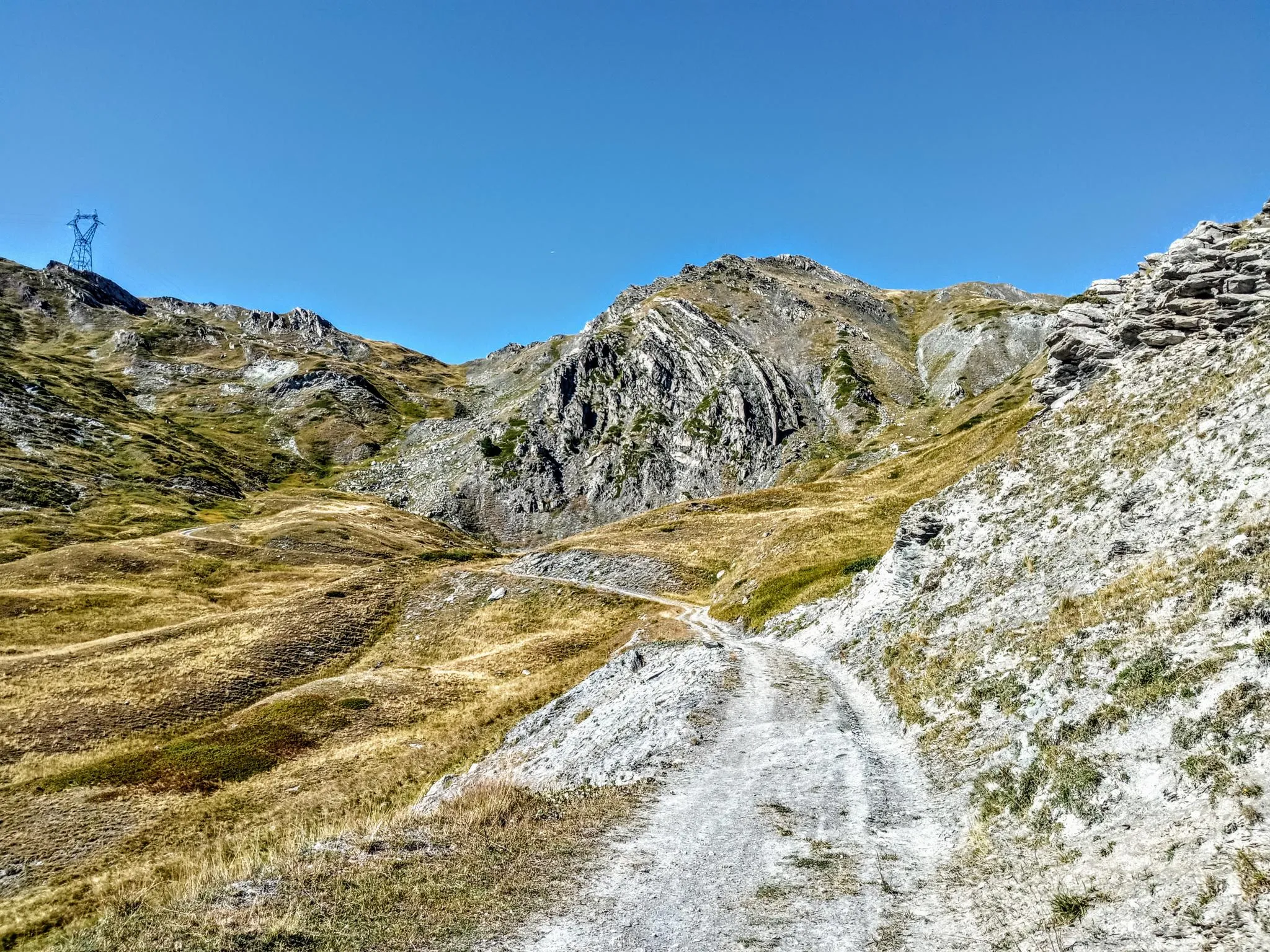
Between valleys and peaks – Ultra Gravel Tour des Alpes
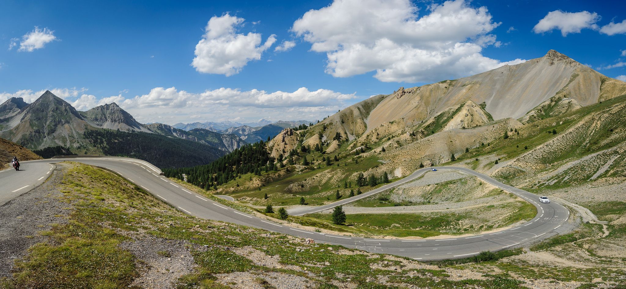
From Thonon to Menton — the great crossing of the French Alps
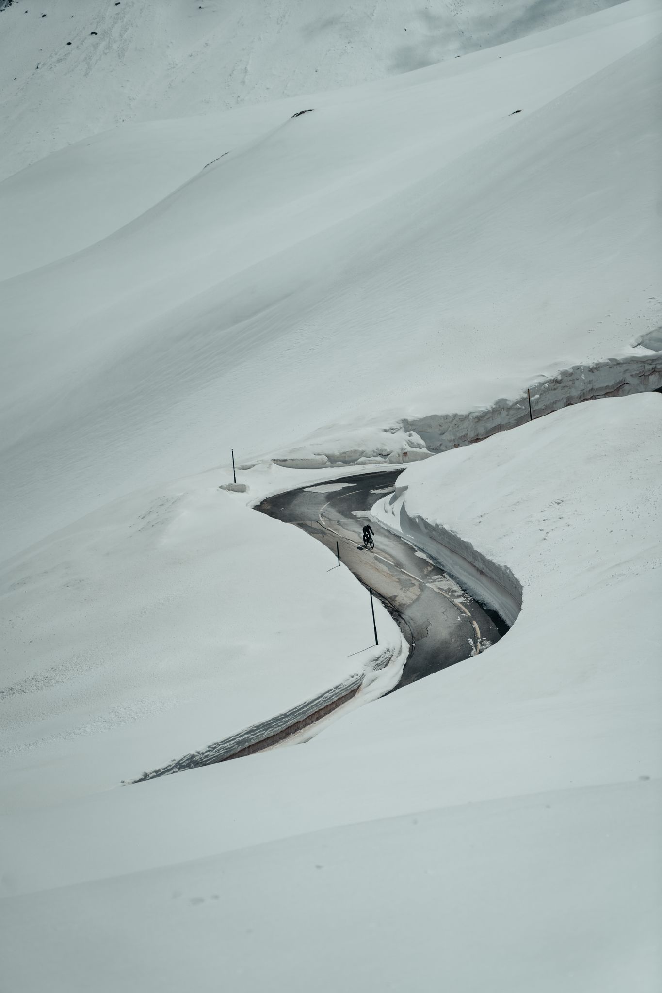
Finding the last bits of snow — early spring riding in the Alps
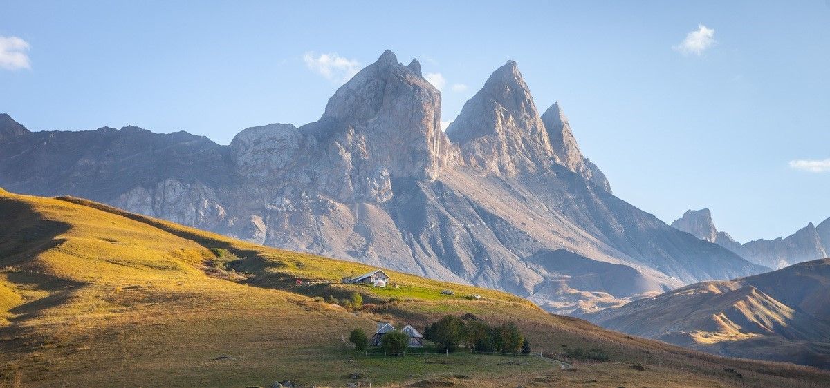
France’s breathtaking Alpine world — road bike routes around Maurienne
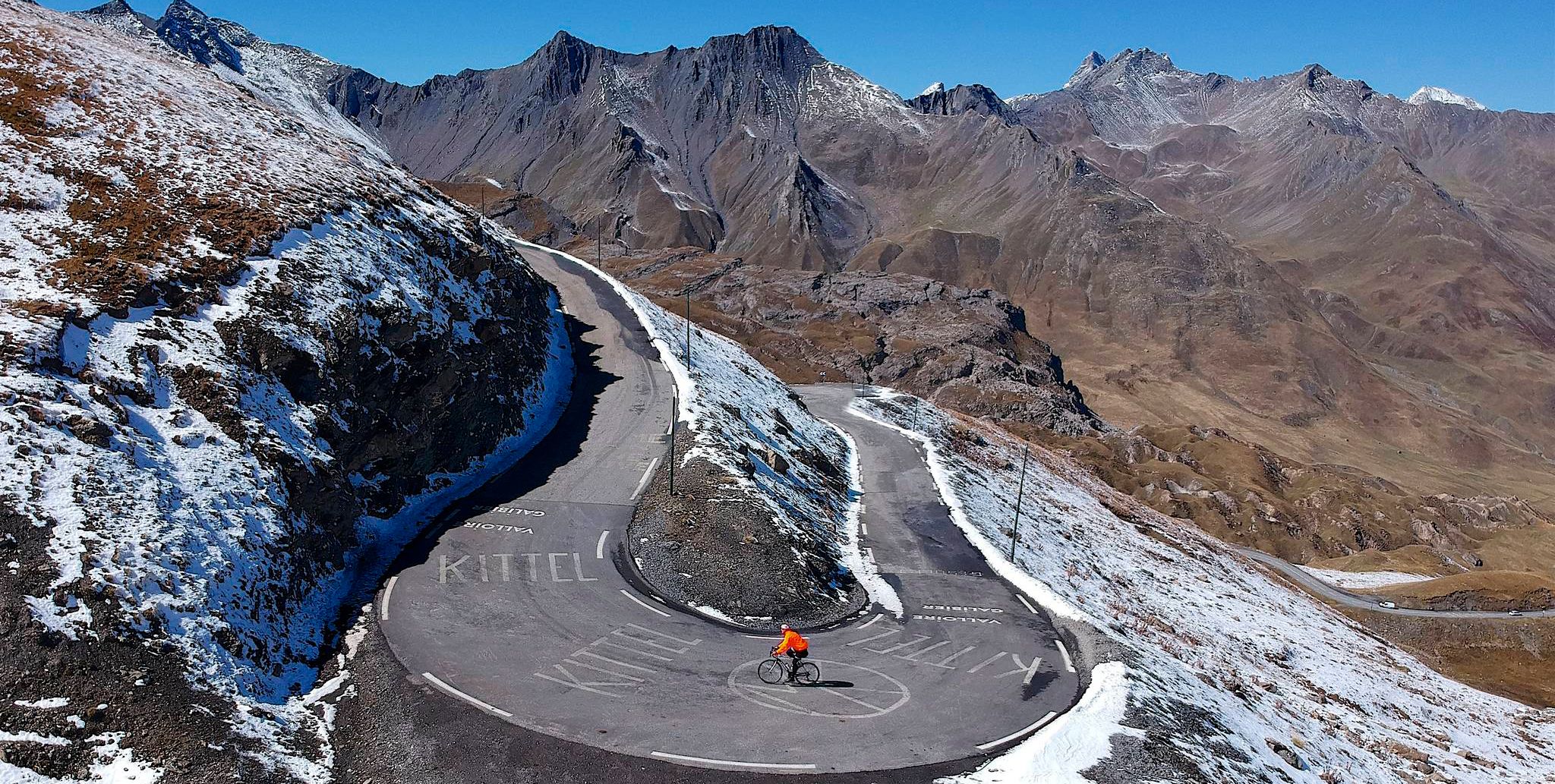
Tracing the Tour de France – spectacular passes in the Auvergne-Rhône-Alps
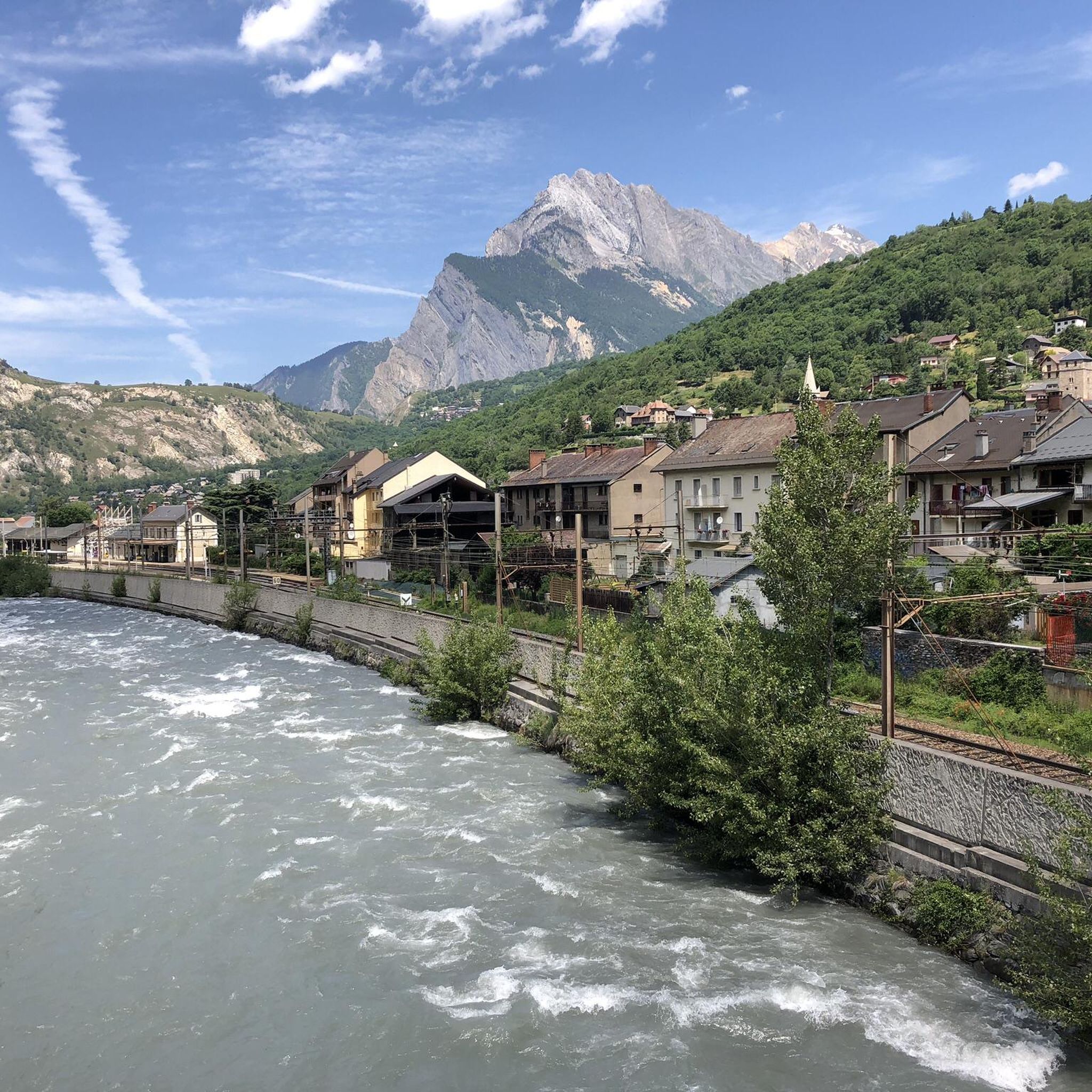
Road Cycling Routes around Saint-Michel-De-Maurienne
Cycling around Saint-Michel-De-Maurienne
MTB Trails around Saint-Michel-De-Maurienne
Other adventures around Saint-Michel-De-Maurienne


Tips from the Community

Magnifique. Les Combes is a magnificent hamlet...
0
0
Absolutely beautiful....
0
0

After the Galibier, if that's not enough for you, you can also get the Tèlègraphe.
21
1
Frequently Asked Questions
How many hiking trails are available around Saint-Michel-De-Maurienne?
There are 19 hiking trails around Saint-Michel-De-Maurienne, catering to various skill levels. This includes 5 easy routes, 11 moderate trails, and 3 difficult treks, offering a wide range of options for exploring the Maurienne Valley.
What kind of landscapes can I expect to see while hiking in this region?
The region offers diverse and dramatic mountainous terrain. You'll encounter the extensive Maurienne Valley, iconic Alpine passes like the Col du Télégraphe, and numerous beautiful mountain lakes such as Lac du Lou and Lake La Vieille. The nearby Vanoise National Park also provides opportunities for pristine forest walks.
Are there any circular hiking routes in Saint-Michel-De-Maurienne?
Yes, several routes are designed as loops. For example, the moderate Col de la Vallée Étroite loop from Thyl offers a picturesque journey, and the challenging Eglise Saint Martin ... – Col du Télégraphe loop from Saint-Michel - Valloire provides stunning views towards the famous pass.
What are some notable natural attractions or landmarks to see on a hike?
Hikers can discover several natural highlights. The region is known for its mountain passes like the Col du Télégraphe and the Col du Galibier. You can also find tranquil mountain lakes, including Lac Vert and Black Rock Lake, which are perfect destinations for a scenic walk.
What do other hikers say about the trails in Saint-Michel-De-Maurienne?
The hiking routes in Saint-Michel-De-Maurienne are highly rated by the komoot community, with an average score of 4.5 stars from over 1100 reviews. Hikers often praise the diverse terrain, from valley paths to high mountain passes, and the stunning panoramic views.
Are there any longer, more challenging hikes for experienced trekkers?
Yes, for experienced trekkers, there are challenging routes available. The Little Montfiot Lake – Lac de la Montagnette loop from Beaune is a difficult 18.77 km trail that takes nearly 8 hours to complete, offering significant elevation gain and rewarding views.
Can I find moderate hikes that offer good views without being too strenuous?
Absolutely. The moderate Arméra chairlift – Moulin des Combes trail loop from Saint-Martin-d'Arc is a great option. It's about 9.2 km long and takes around 3.5 hours, leading through beautiful alpine landscapes with rewarding vistas.
What is the best time of year to go hiking in Saint-Michel-De-Maurienne?
The best time for hiking in Saint-Michel-De-Maurienne is typically from late spring through early autumn (June to September) when the weather is mild, and the high mountain passes are clear of snow. During winter, the area transforms into a destination for snowshoeing and other snow activities.
Are there any trails that explore the Maurienne Valley's natural features?
Yes, the The Combes grain mill – Bridge over the Neuvache loop from Saint-Michel - Valloire is a moderate 9.5 km trail specifically designed to explore the valley's natural features, offering a great way to immerse yourself in the local environment.
Are there opportunities for winter hiking or snowshoeing in the area?
While many hiking trails are best in warmer months, Saint-Michel-De-Maurienne is also known for winter activities. Snowshoeing is popular, with routes leading to tranquil, snow-covered landscapes like the Chalets de Beaune and Lake Rosière, offering a different perspective of the region's beauty.
What other outdoor activities are popular in the Saint-Michel-De-Maurienne region?
Beyond hiking, the Maurienne Valley is a renowned cycling destination, especially for its iconic passes like the Col du Télégraphe and Galibier. Other popular activities include fishing in mountain lakes, paragliding, rafting, and even guided tours to observe marmots.
Are there any trails that offer views of prominent peaks like the Aiguilles d'Arves?
Many routes in the region provide spectacular views of prominent peaks. The Aiguilles d'Arves and Croix des Têtes are visual landmarks that can be admired from various hiking routes, particularly those at higher elevations or from specific viewpoints like the Croix des Trois.
Most popular routes around Saint-Michel-De-Maurienne
Most popular attractions around Saint-Michel-De-Maurienne

Get inspired with the komoot mobile app


Explore more
Browse the best Hikes in other regions.
