The best mountain hikes in Ecuador
4.8
(16)
395
hikers
17
hikes
Mountaineering in Ecuador is defined by its diverse and high-altitude Andean landscape, featuring numerous impressive peaks and active volcanoes. The country's central Andes, known as the "Avenue of the Volcanoes," offers a range of climbable summits. This region is characterized by towering mountains, glacial terrain, and varied ecosystems, providing challenging conditions for mountaineers.
Best mountaineering routes in Ecuador
- The most popular mountaineering route is Cotopaxi – Refugio José Rivas loop from Parque Nacional Cotopaxi, a 4.2 miles (6.8 km) trail that takes about 4 hours 46 minutes to complete. This route ascends one of the world's highest active volcanoes within a stunning National Park.
- Another top favourite among local mountaineers is Summit of Chimborazo Volcano – Hermanos Carrel Refuge loop from Refugio Carrel, a difficult 5.9 miles (9.5 km) path. This challenging ascent leads to Ecuador's highest mountain, offering a demanding high-altitude experience.
- Local mountaineers also love the Illiniza Norte – La Ensillada (Boquerón) loop from La Virgen, 3900m.ü.M, a 6.6 miles (10.7 km) trail leading through high Andean landscapes, often completed in about 6 hours 17 minutes.
- Mountaineering in Ecuador is defined by high-altitude peaks, active volcanoes, and glacial terrain. The network offers options for both beginners seeking high-altitude experience and experienced climbers looking for technical challenges.
- The routes in Ecuador are highly rated by the komoot community with an average score of 4.8 stars from over 10 reviews. More than 400 mountaineers have used komoot to explore Ecuador's varied terrain.
Last updated: July 11, 2026
4.3
(4)
85
hikers
10.7km
06:15
1,080m
1,080m
Hard mountaineering route. Very good fitness required. Sure-footedness, sturdy shoes and alpine experience required.
5.0
(6)
64
hikers
7.70km
07:37
1,140m
1,140m
Hard mountaineering route. Very good fitness required. Sure-footedness, sturdy shoes and alpine experience required.

Sign up for free
4.3
(3)
53
hikers
6.73km
04:44
1,200m
1,200m
Hard mountaineering route. Very good fitness required. Mostly accessible paths. Sure-footedness required.
36
hikers
11.3km
05:22
740m
740m
Hard mountaineering route. Very good fitness required. Sure-footedness, sturdy shoes and alpine experience required.
22
hikers
9.06km
03:17
550m
550m
Moderate mountaineering route. Good fitness required. Easily-accessible paths. Suitable for all skill levels.
5.0
(1)
19
hikers
12.3km
04:03
530m
530m
Moderate mountaineering route. Good fitness required. Easily-accessible paths. Suitable for all skill levels.
19
hikers
4.09km
02:07
460m
460m
Hard mountaineering route. Good fitness required. Sure-footedness, sturdy shoes and alpine experience required.
14
hikers
9.50km
08:01
1,400m
1,400m
Hard mountaineering route. Very good fitness required. Sure-footedness, sturdy shoes and alpine experience required.
5.0
(1)
11
hikers
Moderate mountaineering route. Good fitness required. Mostly accessible paths. Sure-footedness required.
5.0
(1)
13
hikers
10.8km
05:11
1,170m
1,170m
Hard mountaineering route. Very good fitness required. Easily-accessible paths. Suitable for all skill levels.
Get access to more routes and recommendations from other explorers.
Sign up for free
Already have an account?
Our route recommendations are based on thousands of hikes, rides, and runs completed by other people on komoot.
Start today with a free account
Your next adventure awaits.
Login or Signup
Popular around Ecuador
Mountain Hikes in the Cordillera Central Ecuador
Mountain Hikes in Pichincha
Mountain Hikes in Cotopaxi

Mountain Hikes in Tungurahua

Mountain Hikes in Chimborazo
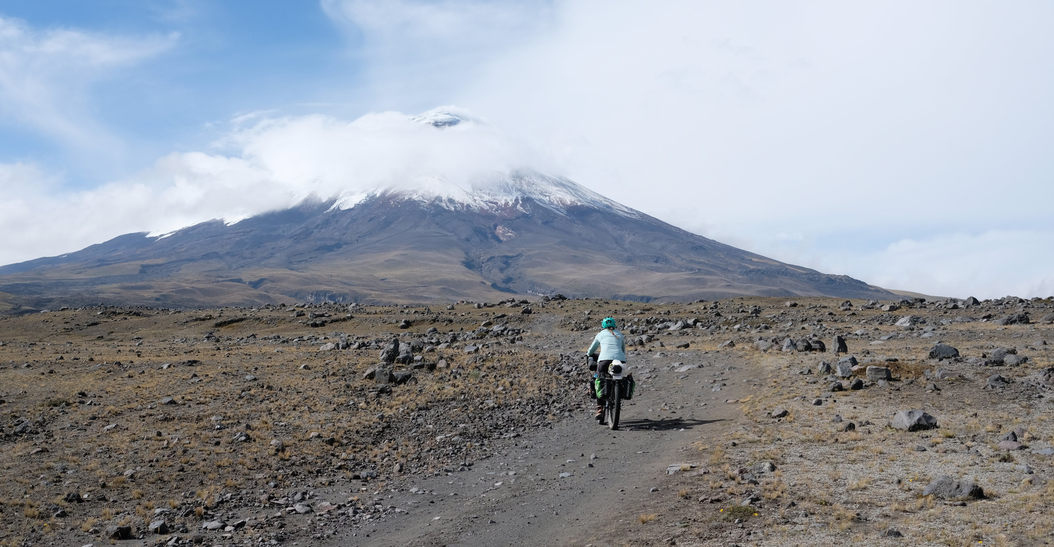
Trans Ecuador MTB Route (TEMBR) – Travel to the ends of the earth
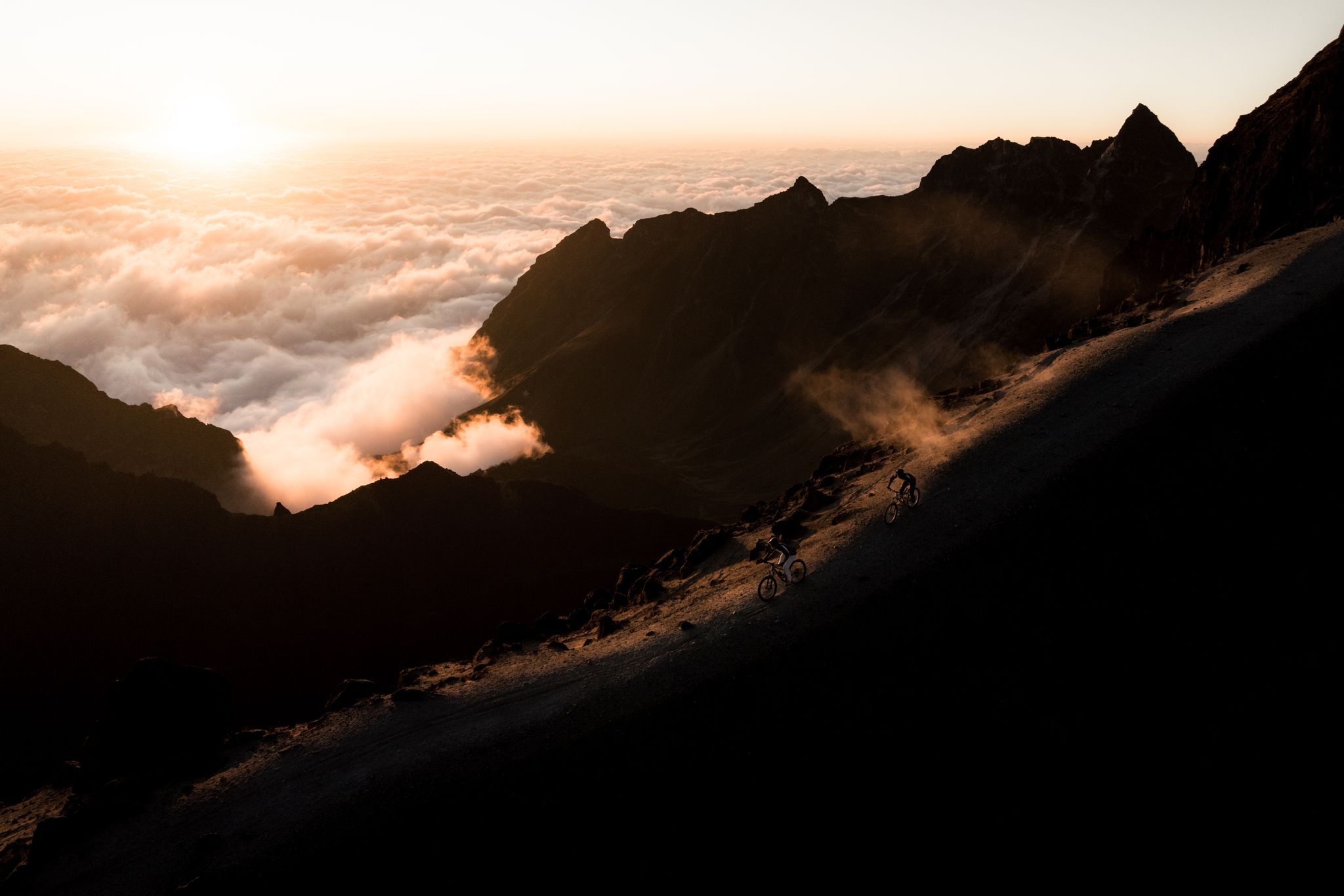
Explorer-Trip Ecuador 2024
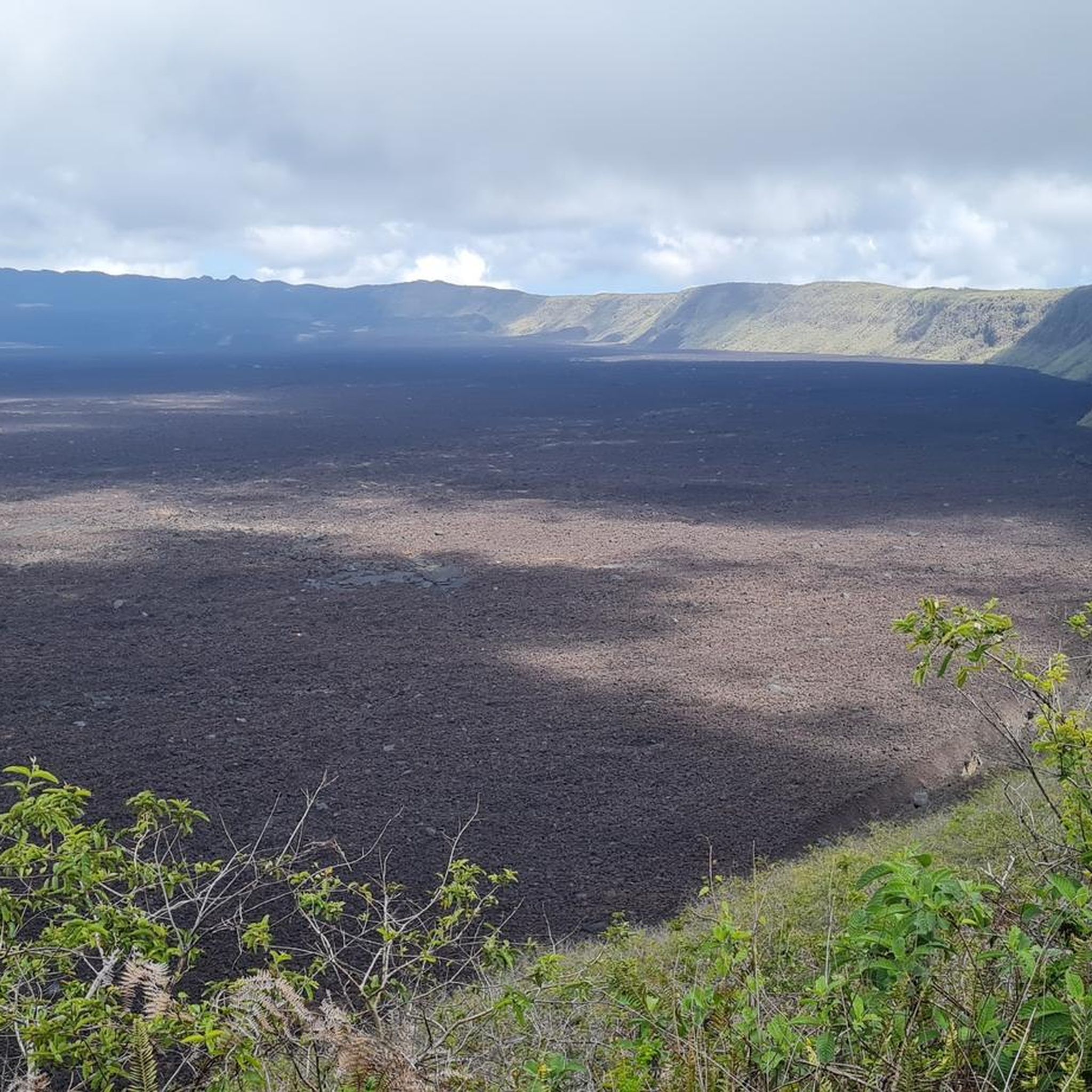
Hiking in Ecuador
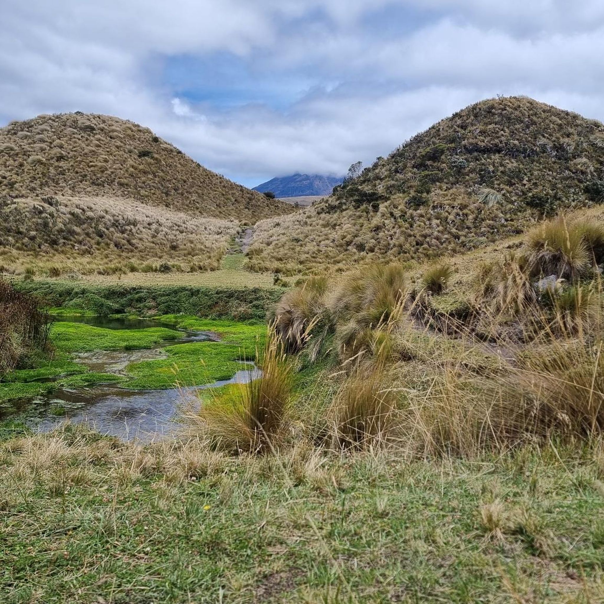
Road Cycling Routes in Ecuador
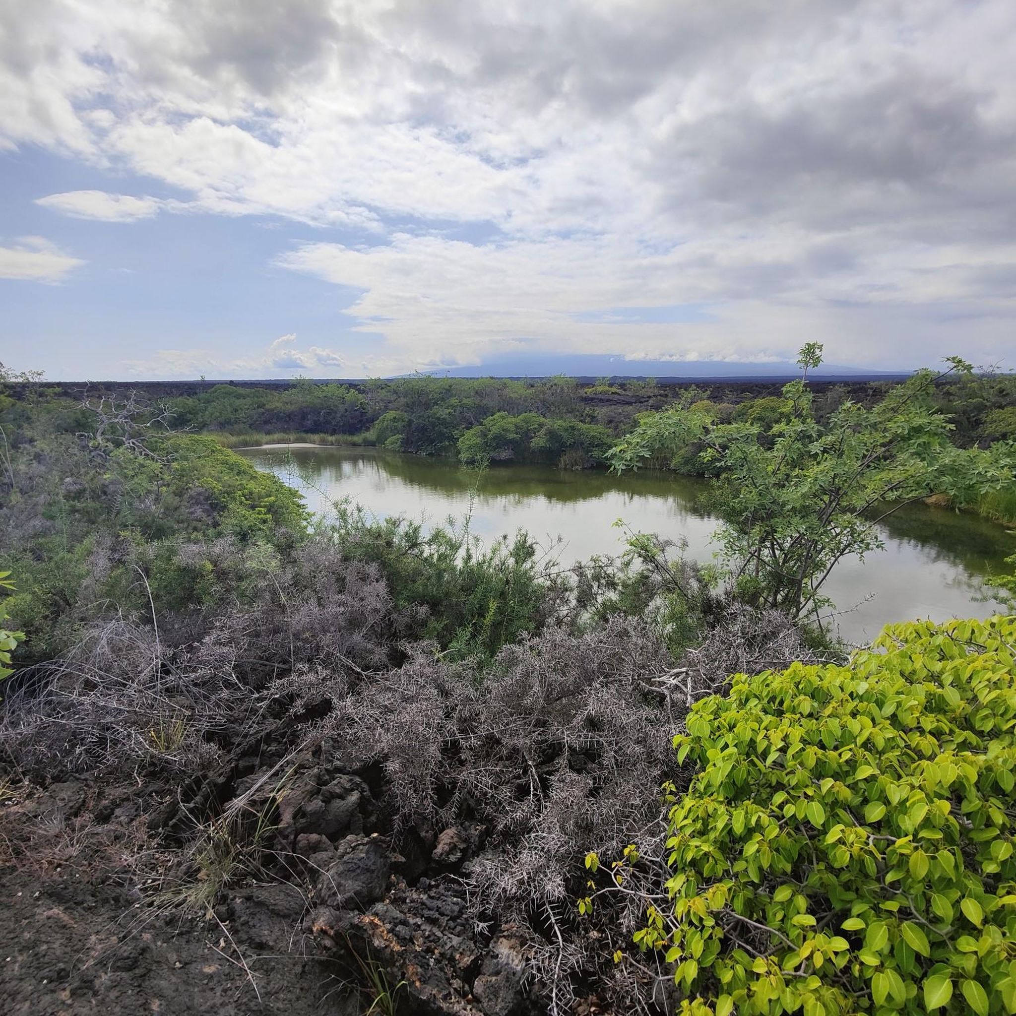
Running Trails in Ecuador


Tips from the Community

Refugio Carrel refuge at 4800 meters on volcan Chimborazo, in case of strong winds an excellent alternative to the tent. 30USD per dorm bed with dinner and breakfast
0
0

It went easier than expected. The air is thin up here but doable.
0
0

This shelter is 4864 steps closer to the moon - for us Europeans - an astonishing height. Cozy inside, it also defies the adverse conditions you'll find outside on your way to the glacier (or the summit). No alcohol is served, there is a highly concentrated cocoa-flavoured sugar solution for refreshment. They like it sweet in the south. No wonder our guide preferred a hearty soup, which is served here as if you were somewhere in the lowlands.
3
1


The Refugio José Rivas is located at 4,864 m altitude. There you can stay overnight by prior reservation or simply strengthen yourself for the hike with coca tea or hot chocolate. There are also some snacks.
1
2

There is a road from the visitor center to the Carrell cabin. Of course, you can also run and take in the fantastic landscape at icy heights. You notice the height of 4800 m with every step.
0
0
In the late afternoon with a clear sky, the panorama is overwhelming. Unfortunately, it doesn't work very often and I needed several attempts myself.
0
0

Great mountain to do. Beautiful typical conical volcano peak. Busy and tough!
3
0
Frequently Asked Questions
What level of experience is needed for mountaineering in Ecuador?
Ecuador offers a range of mountaineering experiences. While many high-altitude peaks are considered trekking peaks requiring minimal technical rock or ice climbing skills, some, like Chimborazo and Cayambe, demand a high level of physical fitness and technical expertise. Routes such as Illiniza Norte – La Ensillada (Boquerón) loop are rated difficult, involving significant elevation gain and duration, making them suitable for experienced mountaineers. For those seeking less technical challenges, there are also moderate options available.
Are there any moderate mountaineering routes in Ecuador?
Yes, there are several moderate mountaineering routes. For instance, the Pasochoa 2 – Pasochoa loop from Hacienda San Francisco de Pasochoa is a moderate 9.1 km route with an elevation gain of 546 meters. Another moderate option is the El Arrayan – Mirador loop from Parqueadero Laguna Cuicocha, which is longer at 12.3 km but still within the moderate difficulty range.
What are some notable natural features or landmarks I can see along these routes?
Ecuador's mountaineering routes often pass through stunning landscapes. You can encounter the vibrant turquoise waters of the Quilotoa Lagoon, a collapsed volcano, along routes like the View of Quilotoa Crater Lake loop. Near Cotopaxi, you might see the Limpiopungo Lagoon. The region is also home to impressive waterfalls like the Pailón del Diablo Waterfall, though not directly on these specific mountaineering routes, it's a significant regional attraction.
Do I need a guide or permits for mountaineering in Ecuador?
For many of Ecuador's high-altitude mountains, especially those with glaciers or unpredictable weather conditions like Cotopaxi, Cayambe, and Antisana, certified local guides are highly recommended or even required. This enhances safety and success rates. While specific permit requirements vary by peak and national park, it's advisable to check in advance, particularly for popular volcanoes like Cotopaxi and Chimborazo, which are often within protected areas.
What is the best time of year for mountaineering in Ecuador?
Ecuador's equatorial location means it doesn't experience traditional four seasons. Instead, weather patterns are influenced by altitude and regional microclimates. Generally, the drier months from June to August and December to January are considered the best for high-altitude mountaineering, offering clearer skies and more stable conditions. However, weather can be unpredictable in the Andes, so always be prepared for rapid changes.
Are there any circular mountaineering routes available?
Yes, many of the mountaineering routes in Ecuador are designed as loops, offering varied scenery without retracing your steps. Examples include the Cayambe – Refugio Oleas Ruales loop, the Rumiňahui central – La Base loop, and the Fuya Fuya loop from Mojanda Lakes. These circular routes provide a comprehensive experience of the local terrain.
How many mountaineering routes are there in Ecuador on komoot?
Komoot features over 15 mountaineering routes in Ecuador, ranging from moderate to difficult. These routes cover diverse terrain, from high Andean landscapes to active volcanoes, offering options for various skill levels and preferences.
What do other mountaineers say about the routes in Ecuador?
The mountaineering routes in Ecuador are highly rated by the komoot community, with an average score of 4.8 stars from over 10 reviews. Mountaineers often praise the challenging high-altitude experiences, the stunning volcanic landscapes, and the unique opportunity to explore the 'Avenue of the Volcanoes'.
What are some good options for acclimatization before attempting higher peaks?
Quito, due to its high altitude, serves as an ideal base for acclimatization. Peaks like Illiniza Norte, accessible via the Illiniza Norte – La Ensillada (Boquerón) loop, are often used for training before attempting higher peaks like Cotopaxi or Chimborazo. Rucu Pichincha, easily accessible by cable car from Quito, is also a popular choice for acclimatization hikes, offering stunning views.
Are there any refuges or huts available on the mountaineering routes?
Yes, some of the higher-altitude routes feature refuges that can serve as base camps or overnight stops. For example, the Cotopaxi – Refugio José Rivas loop includes the José Rivas Refuge. Similarly, the Summit of Chimborazo Volcano – Hermanos Carrel Refuge loop utilizes the Hermanos Carrel Refuge, providing essential shelter and facilities for climbers.
What kind of wildlife can I expect to see while mountaineering in Ecuador?
Ecuador's diverse ecosystems mean you can encounter a variety of wildlife. In the high Andes, you might spot Andean condors soaring overhead, various species of hummingbirds, and perhaps even vicuñas or llamas. The protected national parks and reserves, which encompass many mountaineering areas, are dedicated to preserving this rich biodiversity.
How accessible are the trailheads for these mountaineering routes?
Accessibility varies depending on the specific peak. Major volcanoes like Cotopaxi and Chimborazo often have established routes to their base camps or refuges, which can sometimes be reached by vehicle. However, for many high-altitude areas, public transport might be limited, and arranging private transport or guided tours is often the most practical way to reach trailheads. It's always recommended to research specific transport options for your chosen route in advance.
Most popular routes in Ecuador
Most popular attractions in Ecuador

Get inspired with the komoot mobile app


Didn’t find what you were looking for?
Check out more Mountain Hikes & Routes throughout Ecuador below and find the perfect route in your destination.
