The best walks and hikes around Ahorntal
4.7
(3032)
10,119
hikers
113
hikes
Hiking around Ahorntal offers diverse landscapes within Franconian Switzerland, characterized by rugged rock formations, dense forests, and river valleys. The region features a mix of rolling hills and elevated areas, providing varied terrain for hikers. Trails often follow the Ailsbach river, showcasing geological features and natural beauty. This area provides a serene environment for walks, with routes suitable for various ability levels.
Best hiking trails around Ahorntal
- The most popular hiking route is Promenade trail - circular tour in Franconian…
Last updated: August 23, 2026
4.8
(883)
2,740
hikers
4.47km
01:15
80m
80m
Easy hike. Great for any fitness level. Easily-accessible paths. Suitable for all skill levels.
4.9
(385)
1,297
hikers
7.51km
02:06
120m
120m
Moderate hike. Good fitness required. Mostly accessible paths. Sure-footedness required.

Sign up for free
4.7
(294)
981
hikers
10.3km
02:53
200m
200m
Moderate hike. Good fitness required. Easily-accessible paths. Suitable for all skill levels.
4.7
(278)
914
hikers
15.2km
04:19
320m
320m
Moderate hike. Good fitness required. Mostly accessible paths. Sure-footedness required.
4.7
(69)
219
hikers
11.4km
03:09
190m
190m
Moderate hike. Good fitness required. Easily-accessible paths. Suitable for all skill levels.
Get access to more routes and recommendations from other explorers.
Sign up for free
Already have an account?
Our route recommendations are based on thousands of hikes, rides, and runs completed by other people on komoot.
Start today with a free account
Your next adventure awaits.
Login or Signup
Popular around Ahorntal
Hikes for tiny boots – VGN recreational activities for families
Franconian Switzerland — on the trace of the Purity Law
Ultratrail Fränkische Schweiz – 2 Days Burgen, Wälder, Trails
Cycling around Ahorntal
Road Cycling Routes around Ahorntal
Gravel biking around Ahorntal
MTB Trails around Ahorntal
Running Trails around Ahorntal
Mountain Hikes around Ahorntal
Other adventures around Ahorntal


Tips from the Community

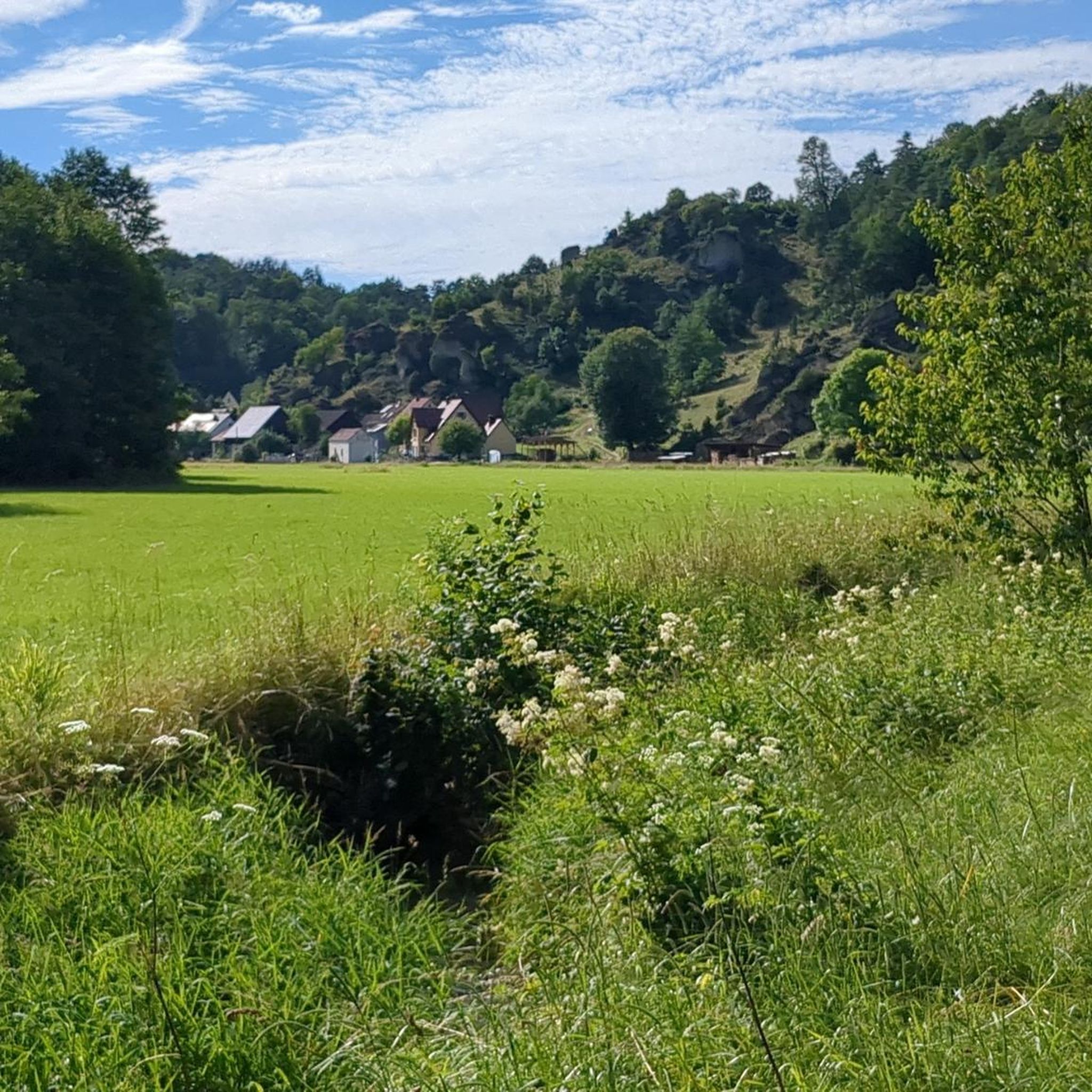
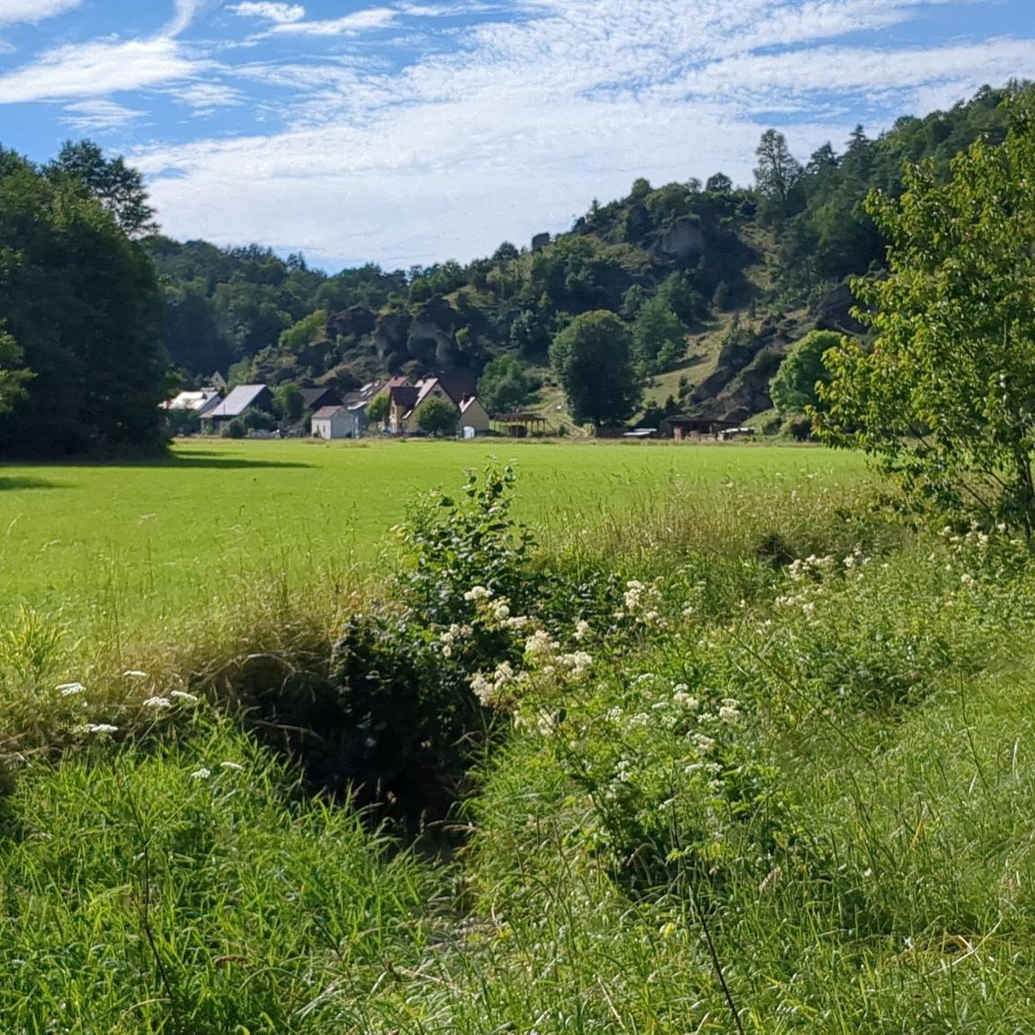
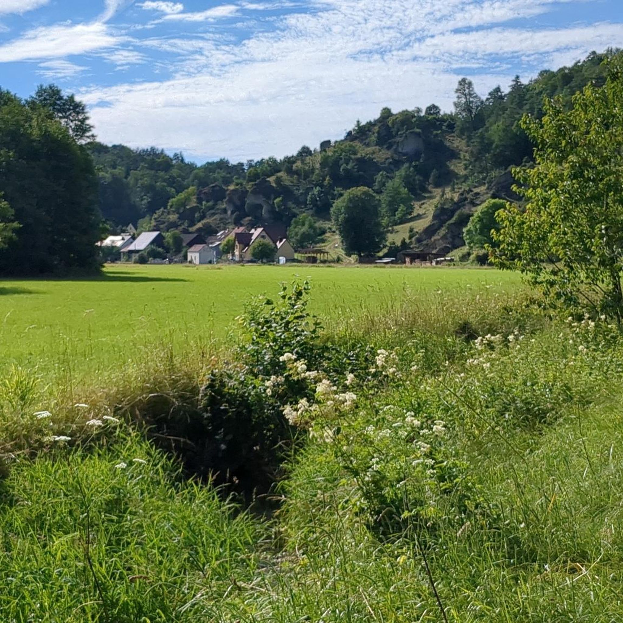
The idyllic Jura village of Oberailsfeld, a part of the Ahorntal municipality, is among the oldest settlements in the Franconian Switzerland. Its roots reach back to the year 850, while the first documented mention dates from 1094. Characterized by primeval, sheep-grazed juniper slopes and steeply rising dolomite rocks, the village lies idyllically in the valley floor directly on the Ailsbach stream. It serves as a popular starting point for hikes and climbing tours in the region. The village's unmissable architectural landmark is the baroque parish church of St. Burkard from 1770, whose distinctive spire dominates the village scenery. Just a few steps away is the traditional brewery and inn Held-Bräu, another cultural focal point, whose innkeeper's license has been in family ownership for over 300 years. In addition to Franconian hospitality, the village is primarily known for its vibrant traditions: in spring, the village well is artfully decorated as an Easter fountain, and on December 20th, the valley transforms into a mystical backdrop during the solemn torchlight procession for the Eternal Adoration, illuminated by countless mountain bonfires.
2
0
The Ailsbachtaler Turm and the surrounding rock bastions high above Oberailsfeld form an impressive natural monument that unites geology, climbing, and medieval history in one place. The striking formation of fossil sponge limestone essentially consists of two closely spaced dolomite rocks. The mighty main rock rises steeply with a considerable wall height of a good 18 meters, while its surface, fissured by millennia of weathering, is interspersed with fine cracks and holes. A significantly smaller, approximately eight-meter-high rock block rounds off the massif towards the high plateau. Facing the abyss, the formation drops almost vertically, forming an exposed rock pulpit on which the wooden figure of the Oberailsfeld cyclist, visible from afar, is enthroned.
2
0

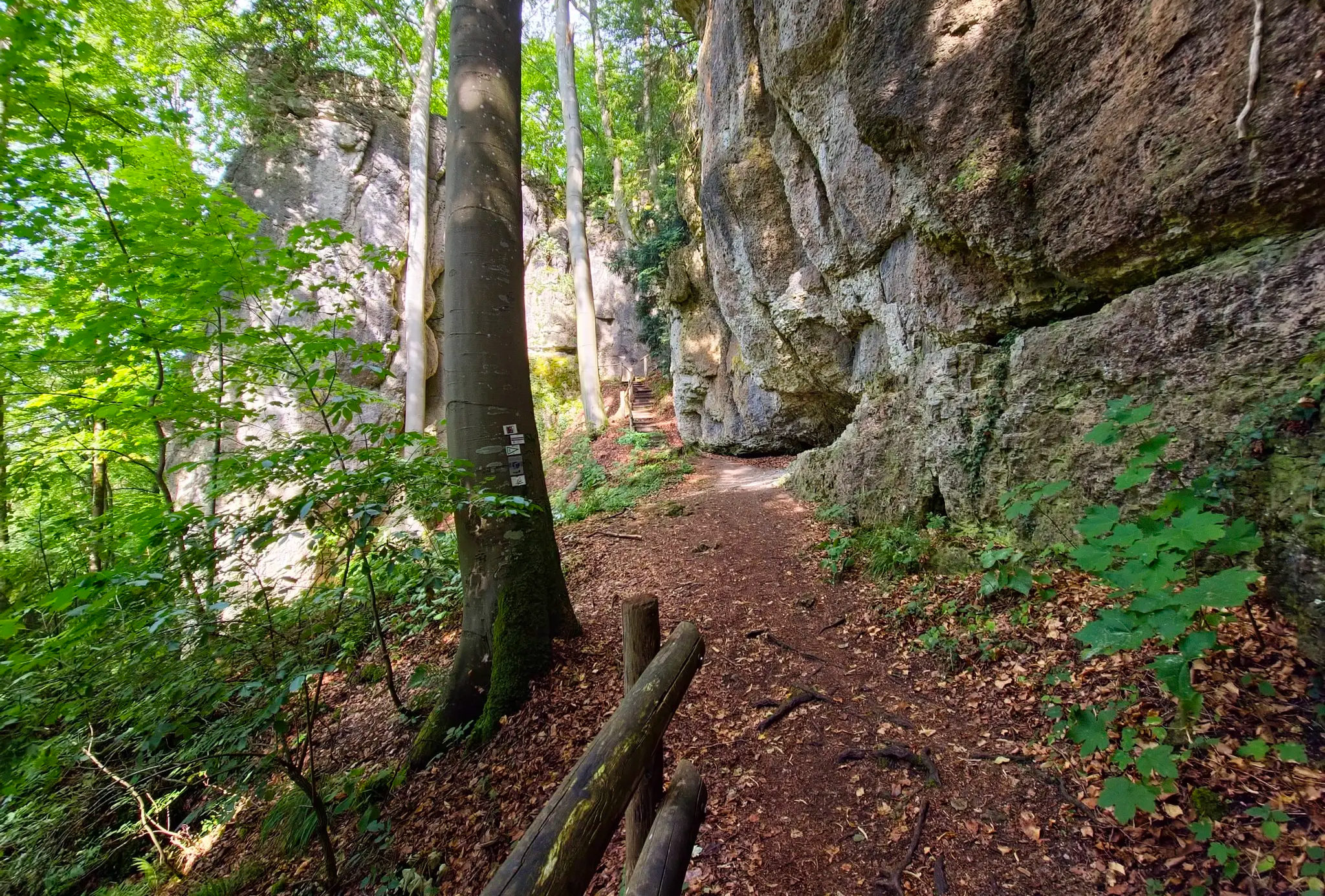
Even in warm weather, it is cool and good to walk here.
0
0

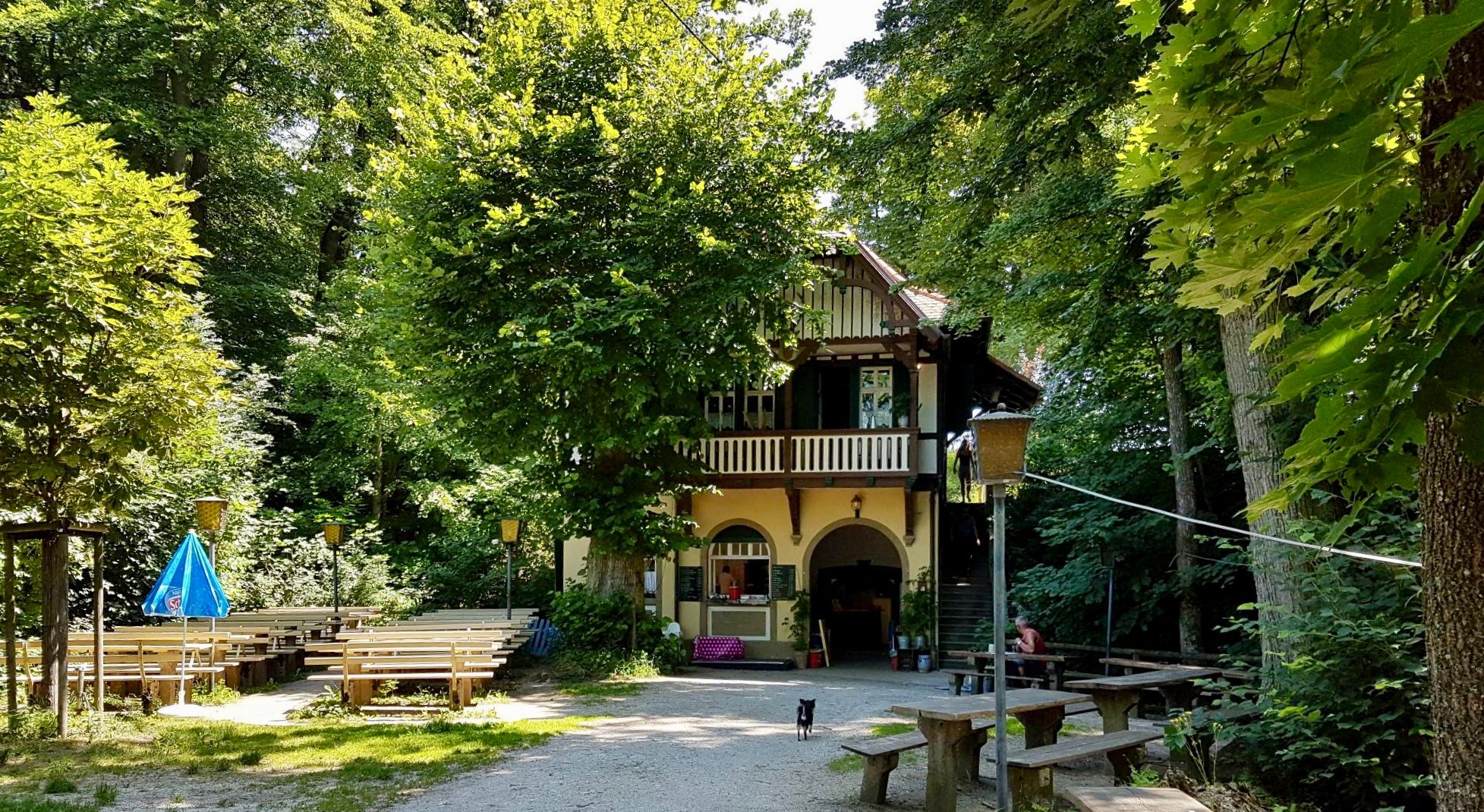
You can eat very well at fair prices at Behringers. Also a nice beer garden!
0
0

Here, too, bat protection applies. To view it from above, leave the main path. Approach Kuhloch from below. A sign at the junction from the main path would be useful!
0
0

Tüchersfeld is the typical Franconian "showcase town" with its striking rocks and the location of the half-timbered houses, which in some cases seem to be glued to the rocks.
9
0

The route to the cave follows a forest road, through the cave, along a beautiful path and into the valley.
2
0
Frequently Asked Questions
How many hiking trails are available in Ahorntal?
Ahorntal offers a wide variety of hiking experiences, with over 115 trails recorded on komoot. These range from easy walks to more challenging routes, ensuring options for all skill levels.
What kind of terrain can I expect on hikes in Ahorntal?
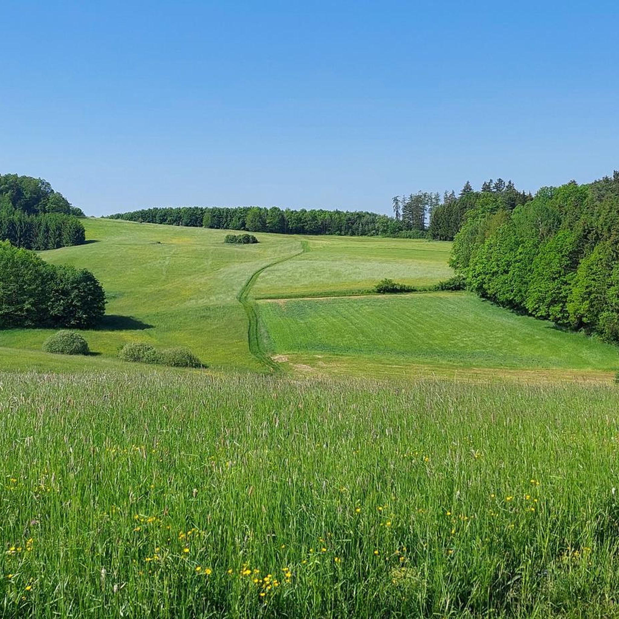
The terrain in Ahorntal is diverse, characterized by rugged rock formations, dense forests, and scenic river valleys. You'll encounter a mix of rolling hills and elevated areas, particularly along the Ailsbach river where impressive geological features are prominent.
Are there any family-friendly hiking routes in Ahorntal?
Yes, Ahorntal is well-suited for families. The region offers easier paths and even a dedicated 'Children's Adventure Trail' designed for playful exploration. An example of an easy, pleasant walk is the Promenade trail - circular tour in Franconian Switzerland, which is 4.5 km long and takes about 1 hour 15 minutes.
What natural features or landmarks can I see along the trails?
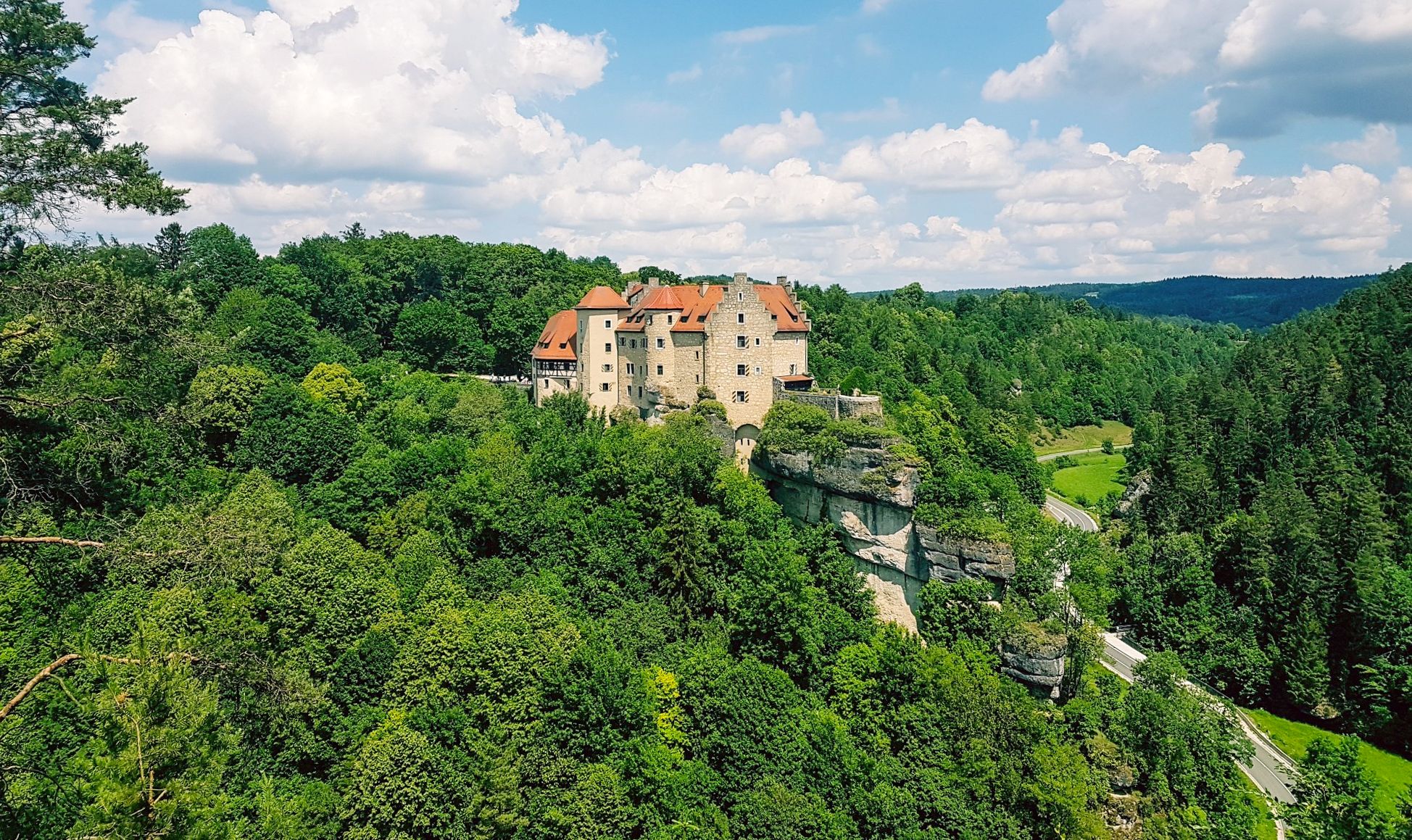
Ahorntal is rich in natural wonders and historical sites. You can explore the dramatic Ailsbach Valley with its impressive rock formations and numerous caves like the Sophienhöhle, Oswaldhöhle, and Quackenschloss. Many trails also offer views of the majestic Rabenstein Castle. For example, the View of Rabenstein Castle – Schneiderkammer Cave loop from Oberailsfeld provides excellent views of the castle and the Ailsbach Valley. You can also visit the Oswald Cave or the Quackenschloss.
Are there any circular hiking routes in Ahorntal?
Yes, many routes in Ahorntal are designed as circular walks, allowing you to start and end at the same point. The Promenade trail - circular tour in Franconian Switzerland is a popular easy option, and the View of Rabenstein Castle – Schneiderkammer Cave loop from Oberailsfeld is a moderate circular trail.
What do other hikers say about the trails in Ahorntal?
The hiking routes in Ahorntal are highly regarded by the komoot community, with an average rating of 4.8 stars from over 2,600 reviews. Nearly 10,000 hikers have used komoot to explore the area, often praising the diverse landscapes, impressive rock formations, and the serene environment.
What is the best time of year to go hiking in Ahorntal?
Ahorntal offers a beautiful hiking experience throughout much of the year. Spring and summer bring lush greenery and blooming flowers, while autumn transforms the landscape into a vibrant spectacle of colors, making it particularly appealing for scenic walks.
Are there any caves I can explore while hiking in Ahorntal?
Ahorntal is famous for its extensive cave systems. Notable caves include the Sophienhöhle, considered one of Southern Germany's most beautiful dripstone caves, and the Oswaldhöhle near Muggendorf. The Sophien Cave – Wiesent River loop from Burg Rabenstein is a moderate trail that passes by the Sophien Cave.
Are there any viewpoints offering panoramic views in Ahorntal?
Yes, for panoramic views, you can ascend the Hohe Leite, which rises 561 meters within the Franconian Switzerland-Frankenjura Nature Park. Additionally, the Himmelsleiter Observation Tower in nearby Pottenstein offers superb views after a 150-step climb.
What are some longer, more challenging hiking options in Ahorntal?
For those seeking longer, moderate challenges, routes like the Passage cave – Kühloch Cave loop from Burg Rabenstein cover about 15.2 km and involve significant elevation changes. Another option is the Schneider Cave – Ludwig Cave loop from Burg Rabenstein, which is around 10.3 km.
Is there public transport access to hiking areas in Ahorntal?
While specific public transport details for individual trailheads vary, the region is generally accessible. For detailed information on bus routes and schedules within Franconian Switzerland, it's advisable to check local transport provider websites or the regional tourism portal for Franconia: frankentourismus.de.
Most popular routes around Ahorntal
Most popular attractions around Ahorntal

Get inspired with the komoot mobile app


Explore more
Browse the best Hikes in other regions.
